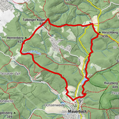
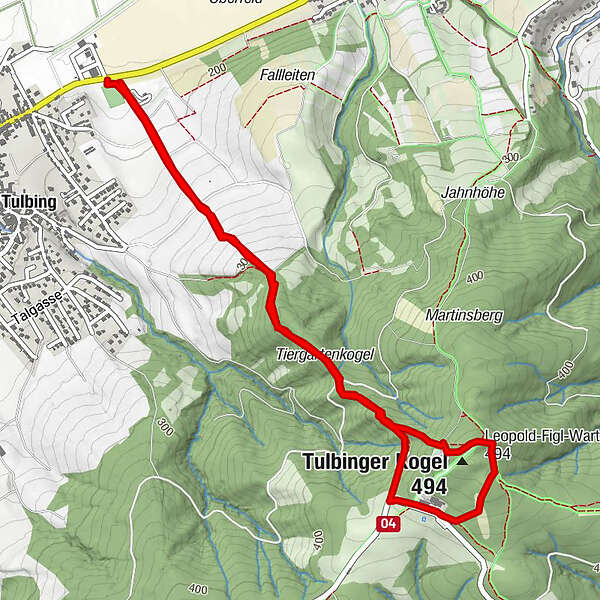
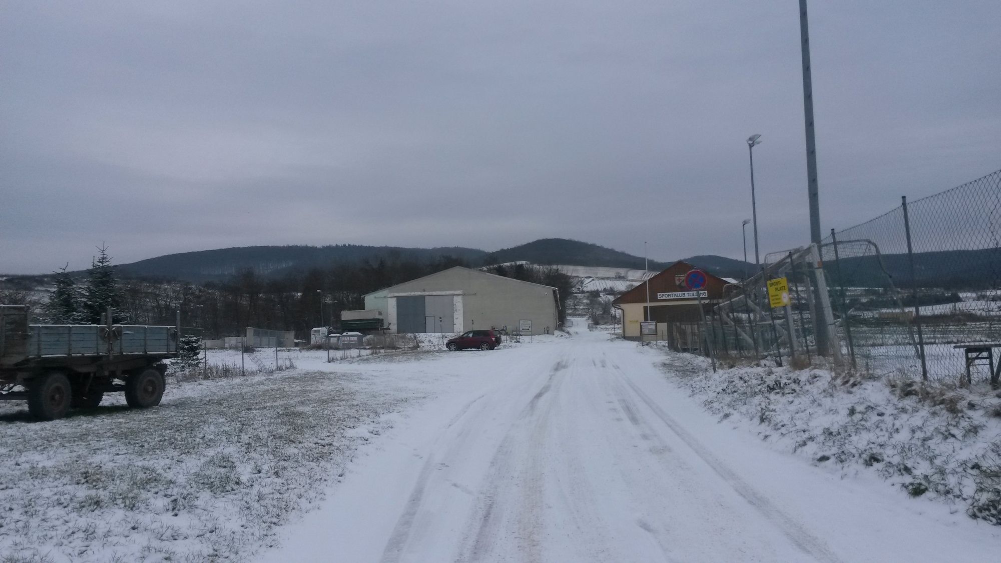
Tulbing Sportplatz Tulbinger Kogel retour 05.11.2015

Senderismo

© hel

© hel

© hel

© hel

© hel

© hel

© hel

© hel

© hel

© hel
Datos del tour
5,6km
184
- 494m
300hm
300hm
01:45h
- Breve descripción
-
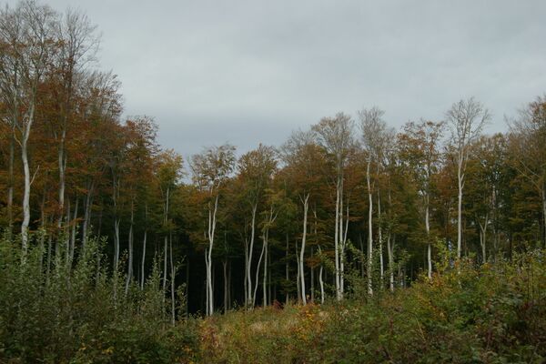
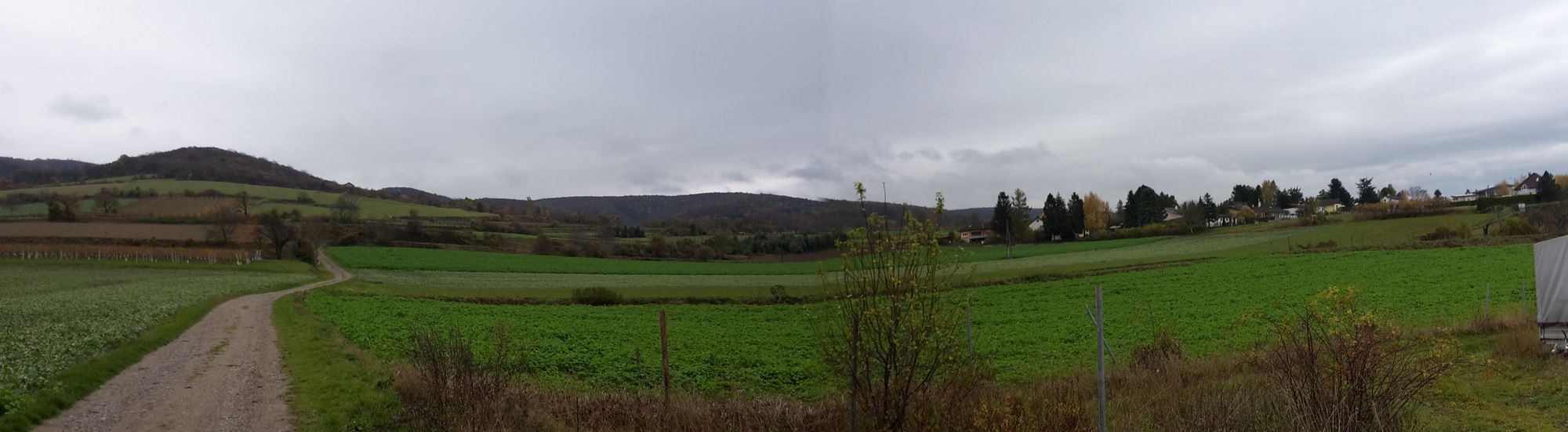
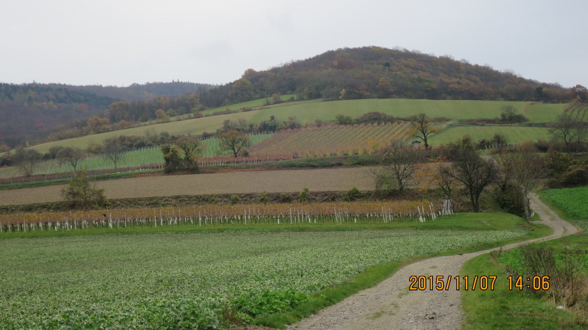
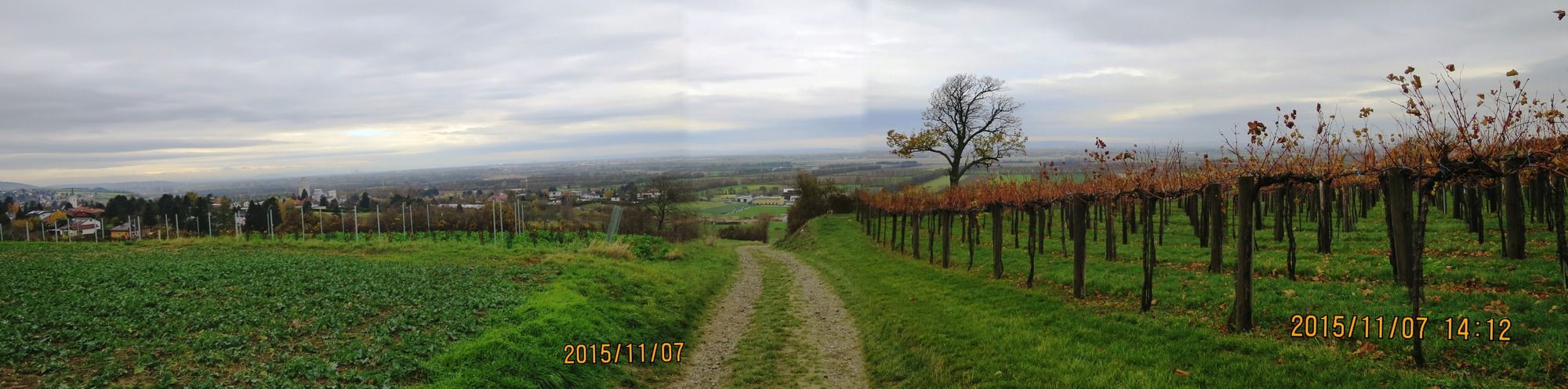
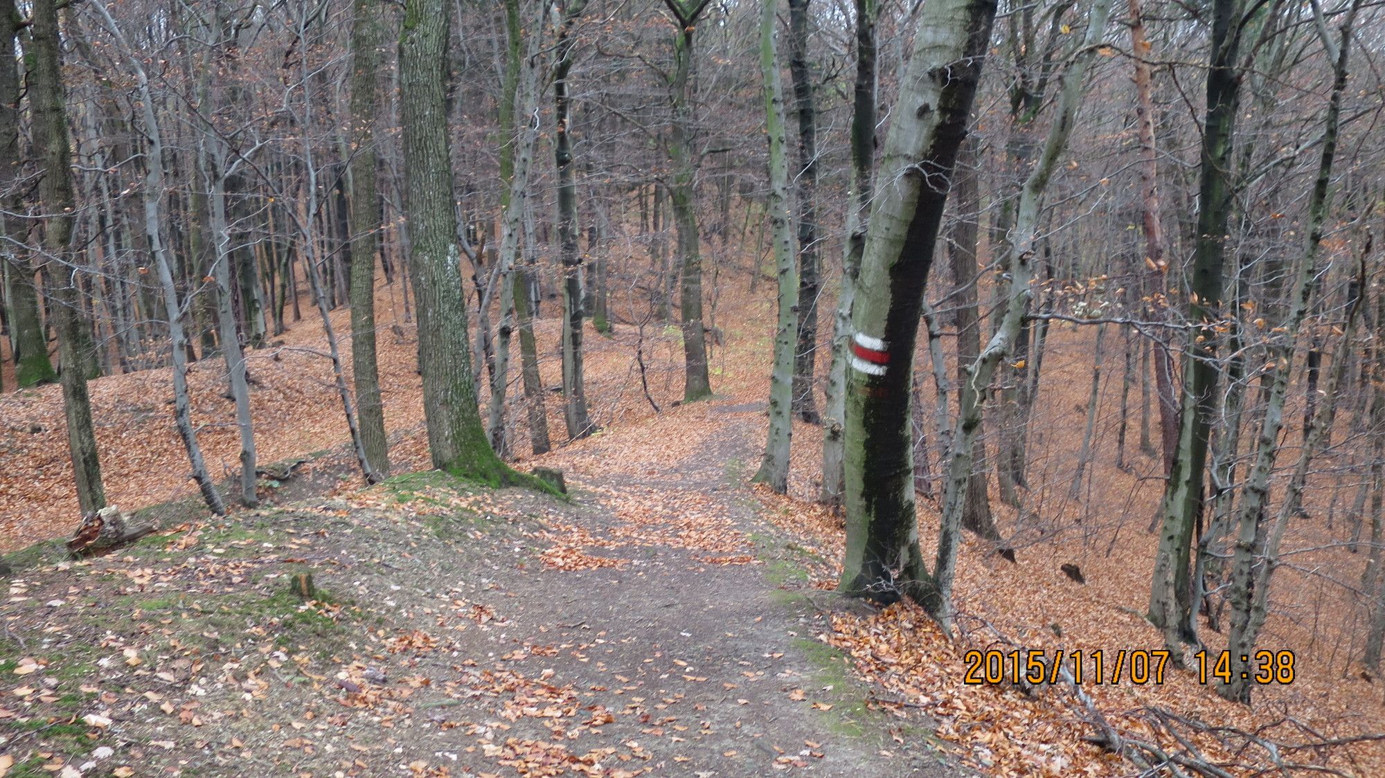
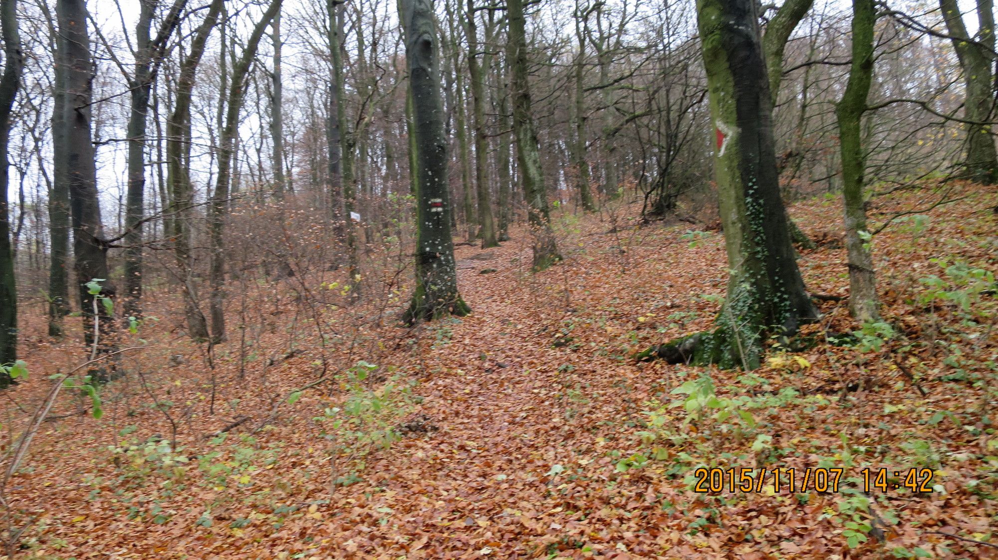
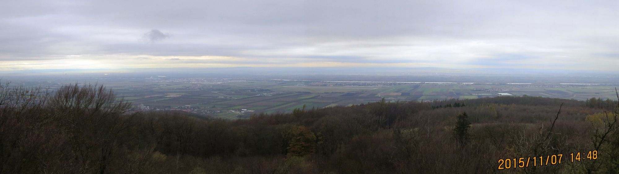
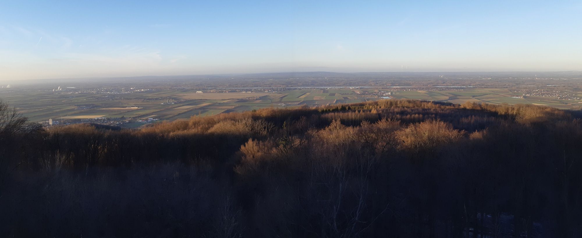
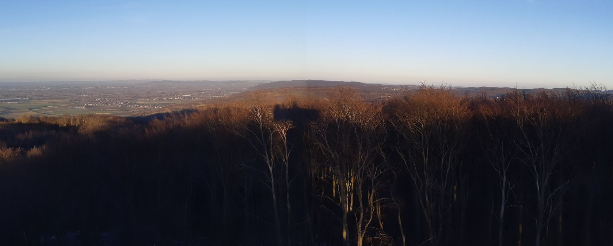
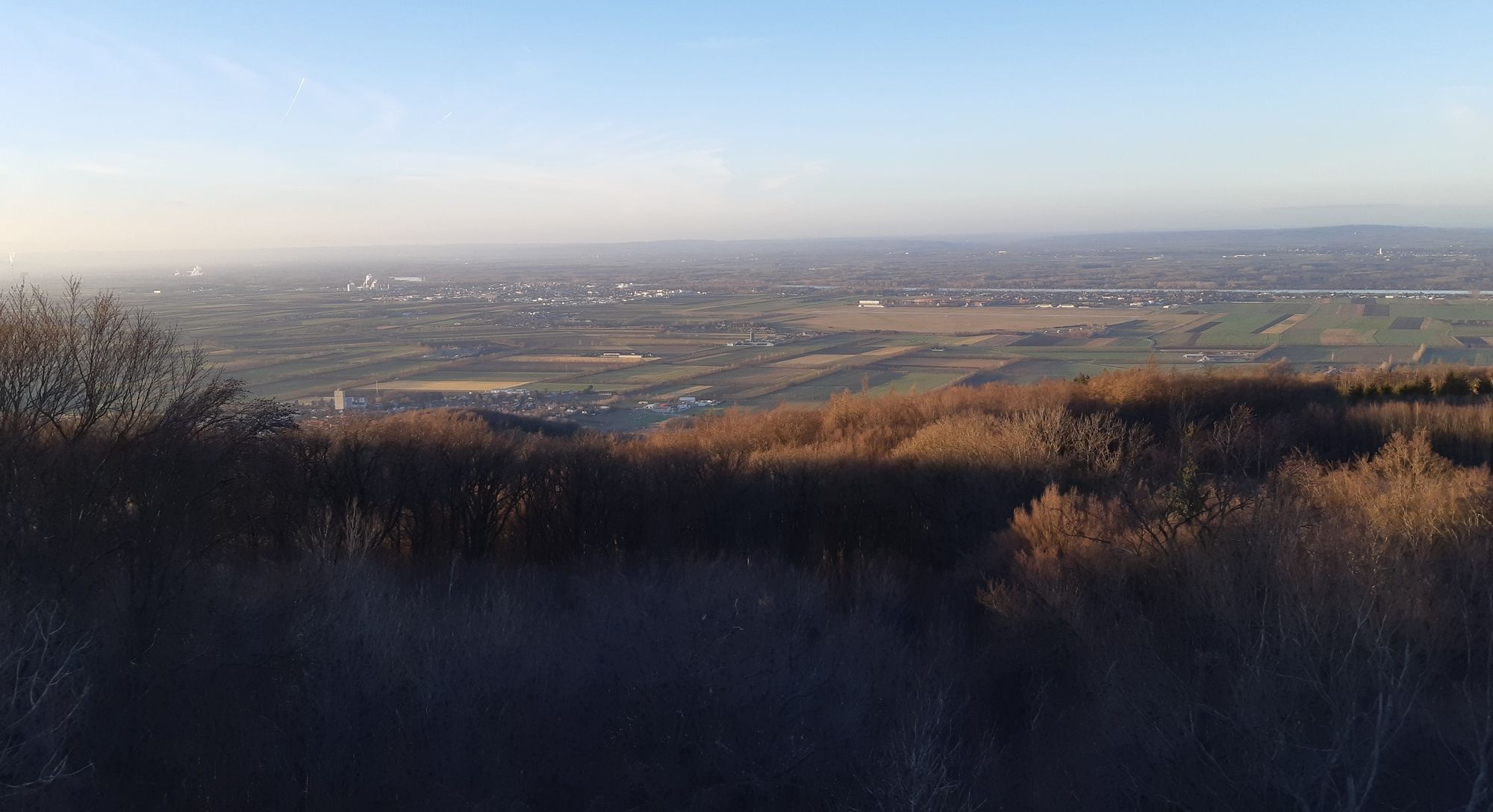
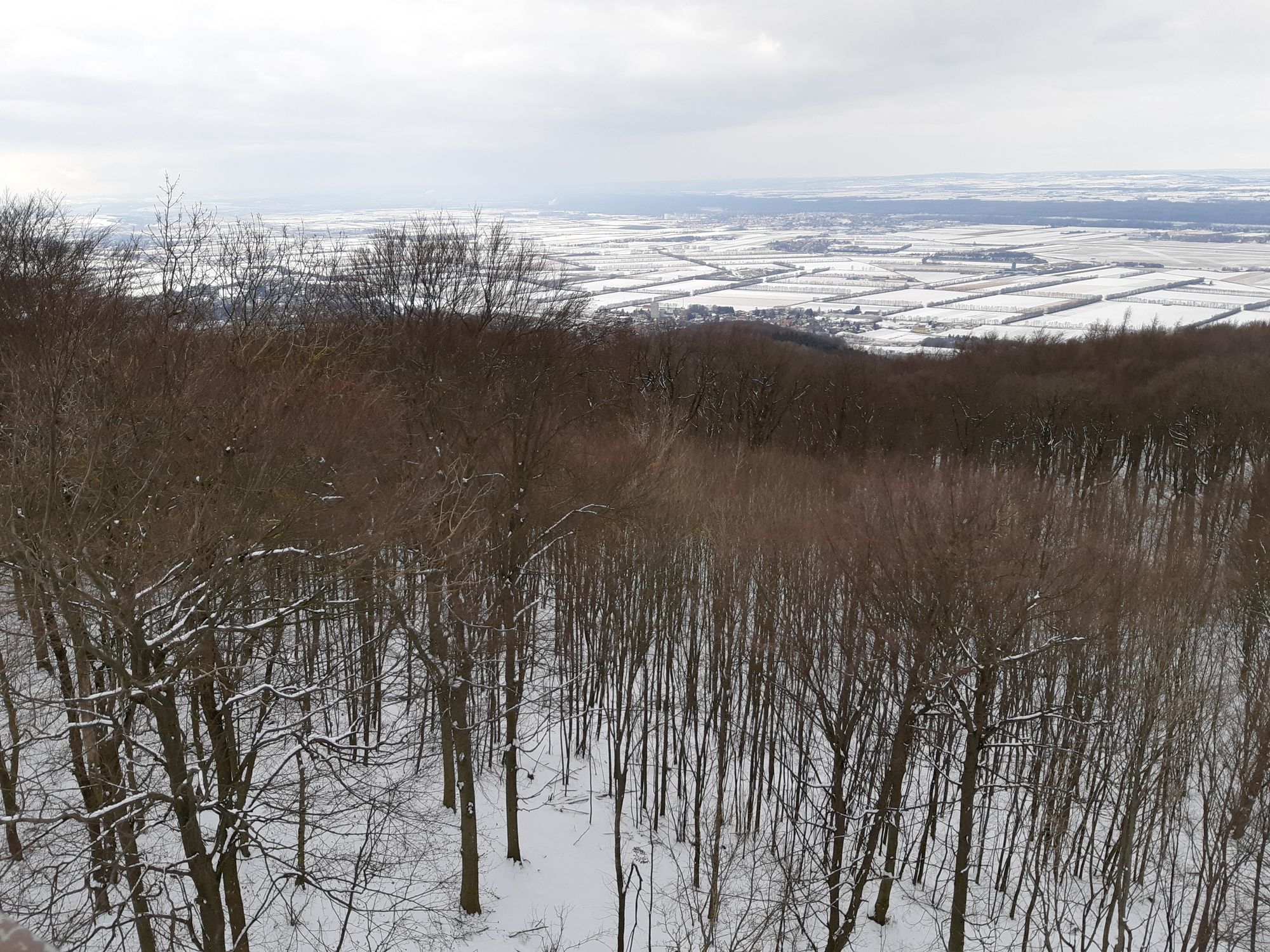
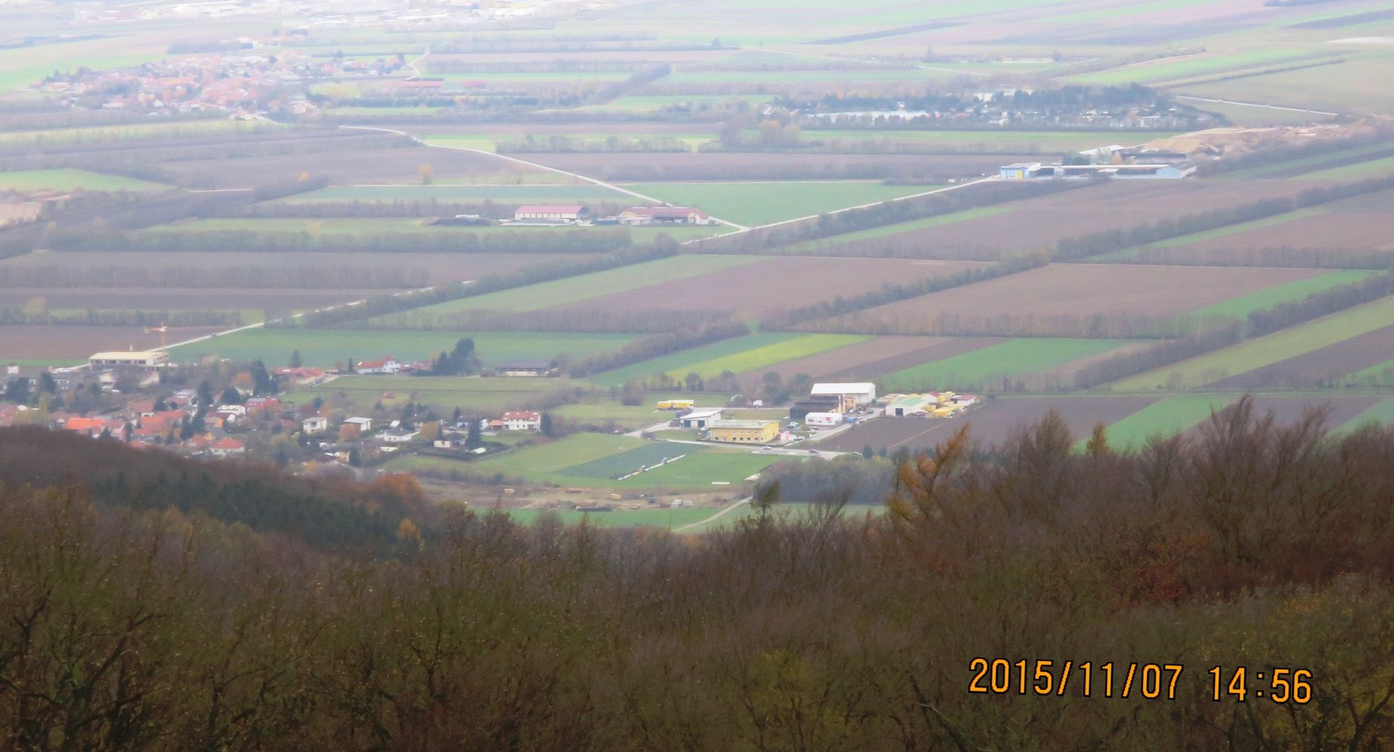
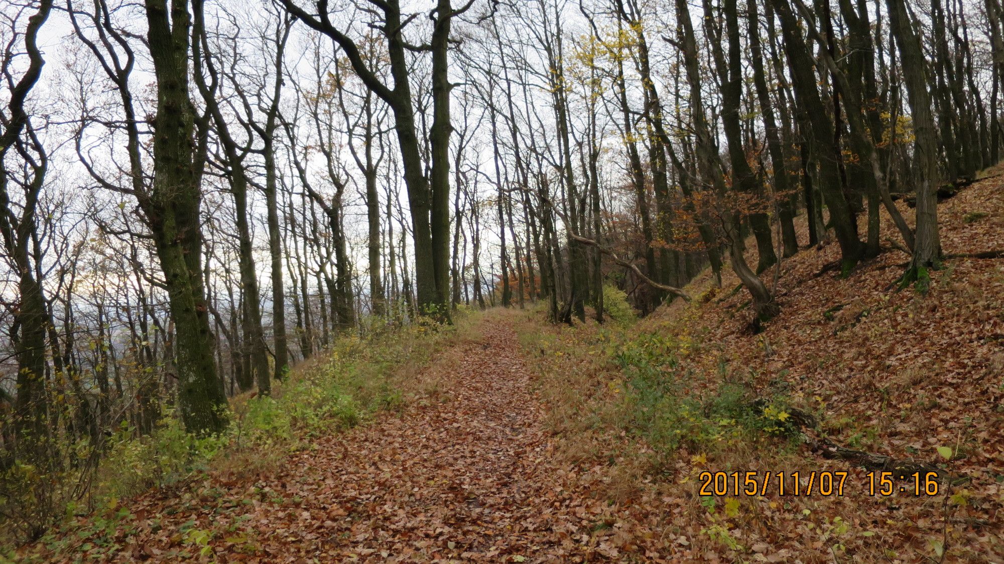
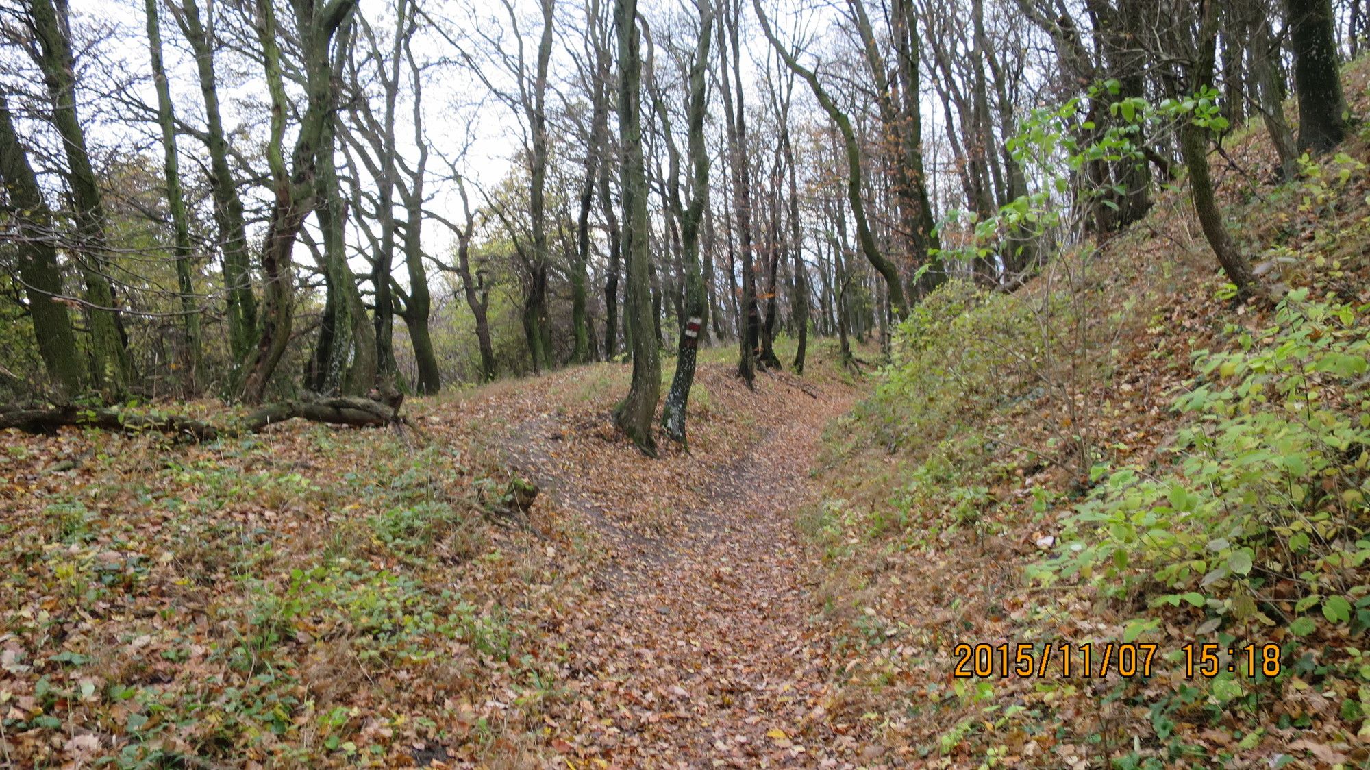
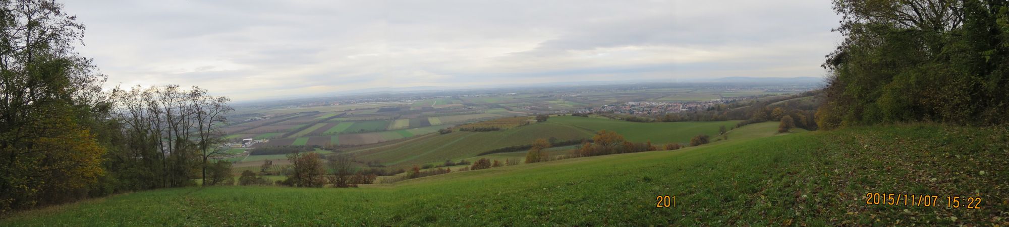
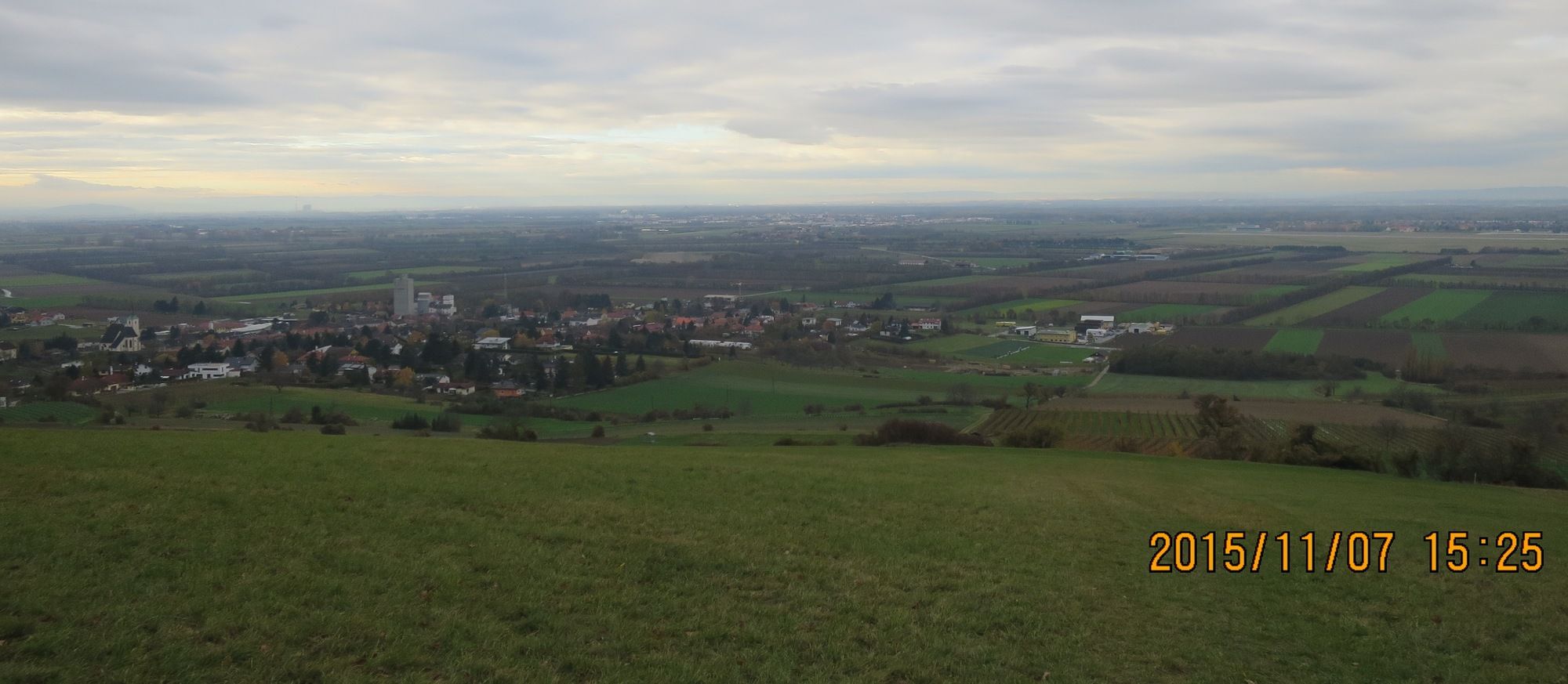
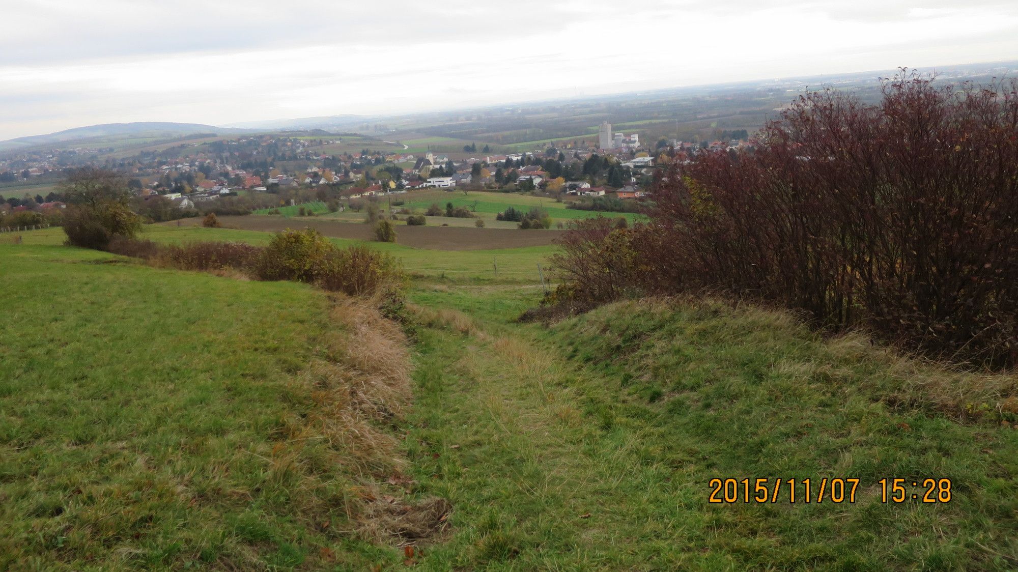
Kurze Wanderung auf den Tulbinger Kogel (Leopold Figl Warte) und wieder retour zum Parkplatz beim Tulbinger Sportplatz
- Dificultad
-
fácil
- Valoración
-
- Punto de salida
-
Parkplatz Auto oder Bushaltestelle in Tulbing (zum Sportplatz gehen)
- Ruta
-
Tulbinger Kogel (494 m)2,5 kmTulbingerkogel3,1 km
- La mejor temporada
-
enefebmarabrmayjunjulagosepoctnovdic
- Punto álgido
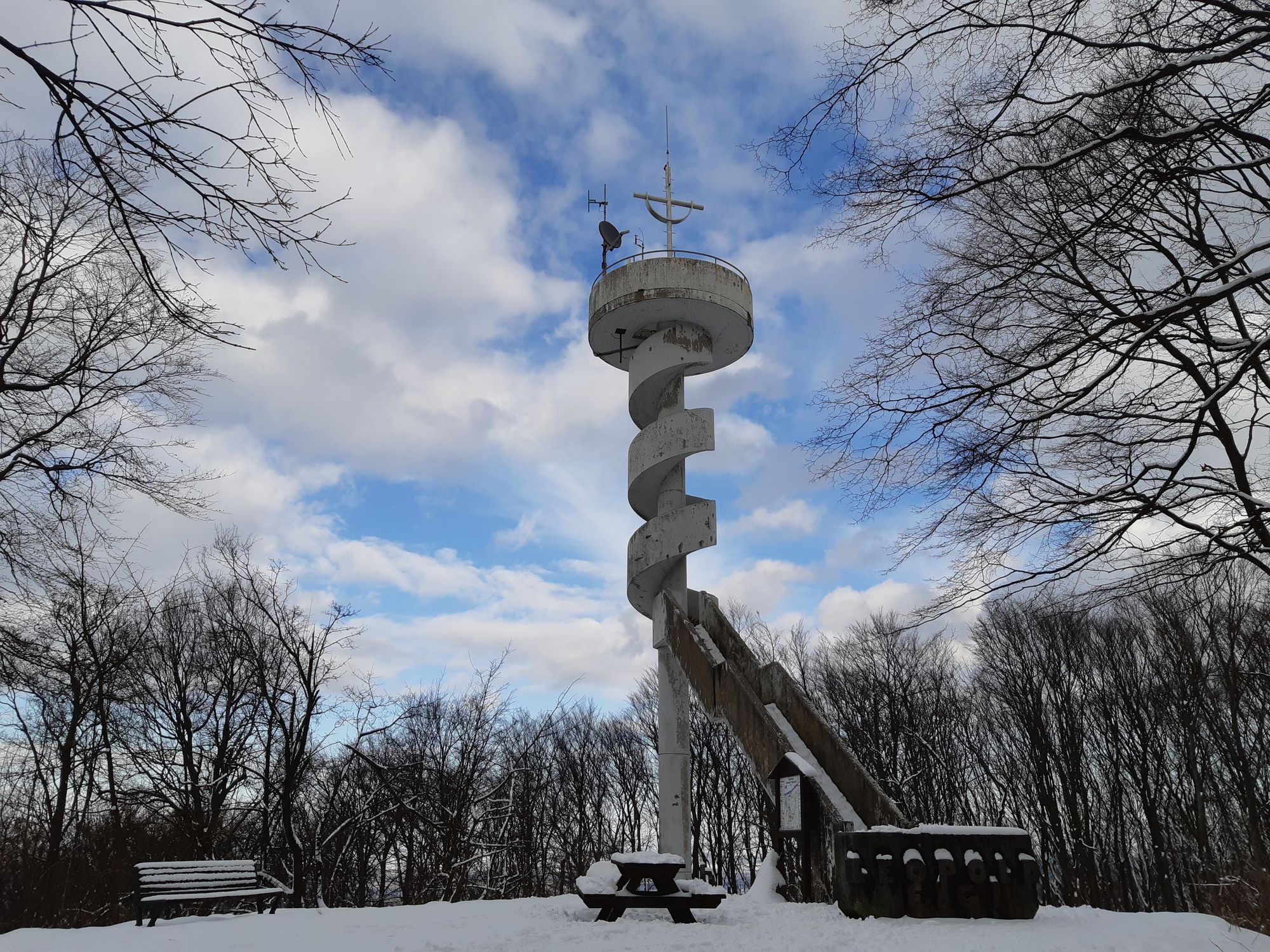
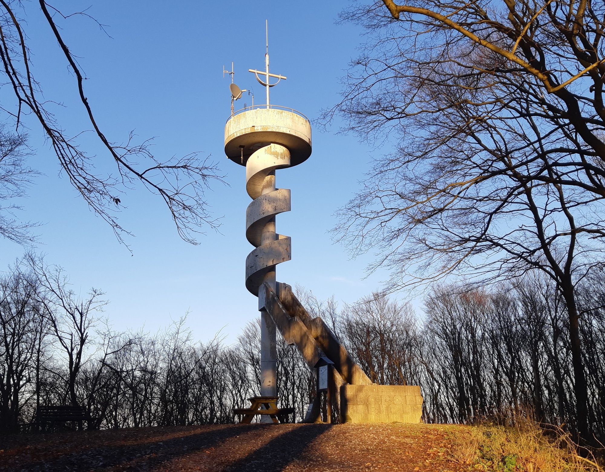
- Tulbinger Kogel (494 m)
- Punto final
-
Tulbinger Kogel
- Descanso/Avituallamiento
-
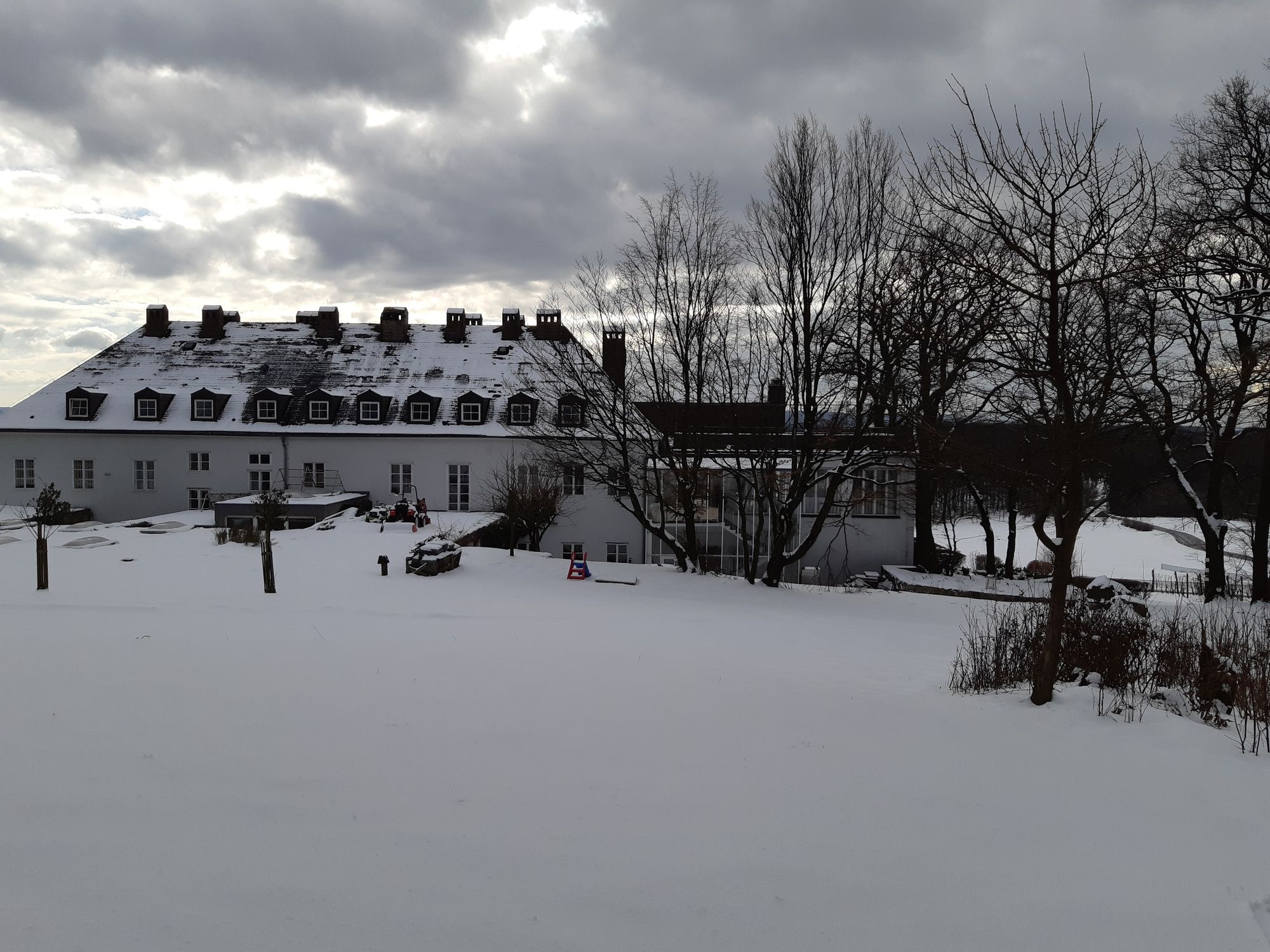
Berghotel Tulbinger Kogel oder in Tulbing bei einem Heurigen
- Material cartográfico
-
bergfex, amap, kompass, opentopomap


- Fuente
- Erich Helferstorfer
GPS Downloads


Superficie de carretera
Asfalto
Gravilla
(40%)
Pradera
(20%)
Bosque
((60%))
Roca
Expuesto
Más circuitos por las regiones
-
Wienerwald
4206
-
Wien und Umgebung
2475
-
Königstetten
815