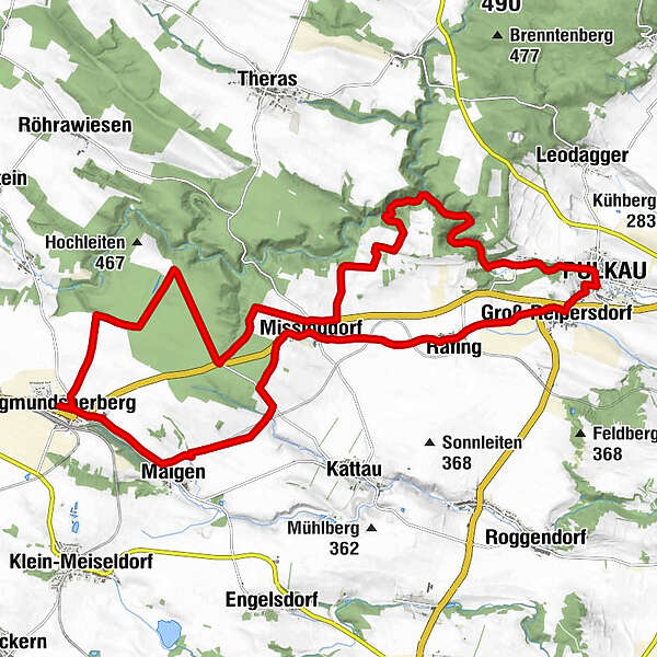
Datos del tour
26,59km
259
- 455m
245hm
222hm
02:06h
- Breve descripción
-
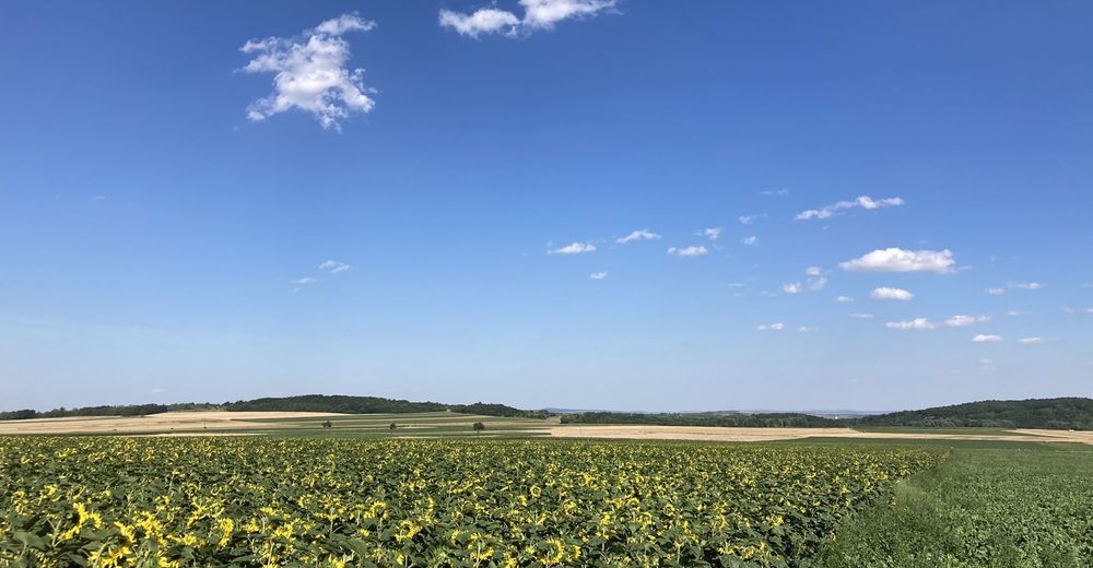
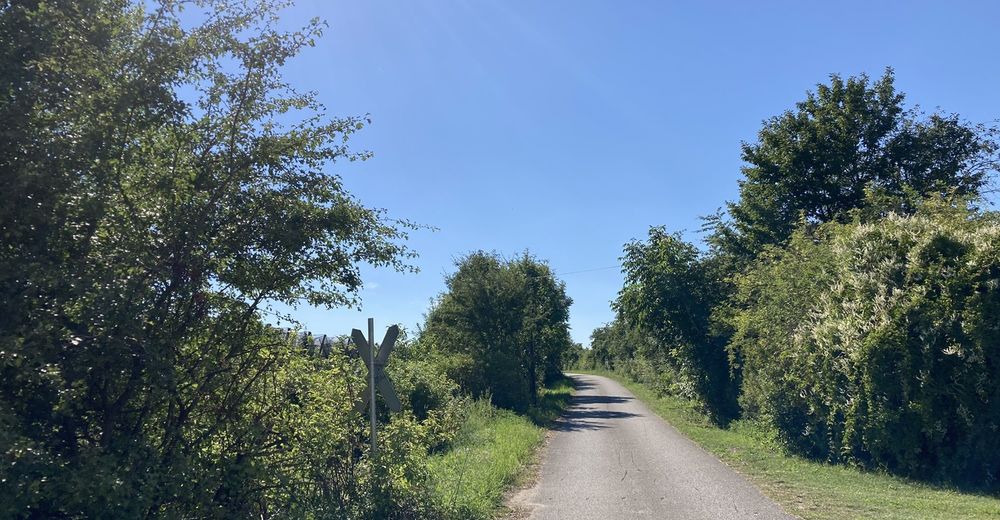
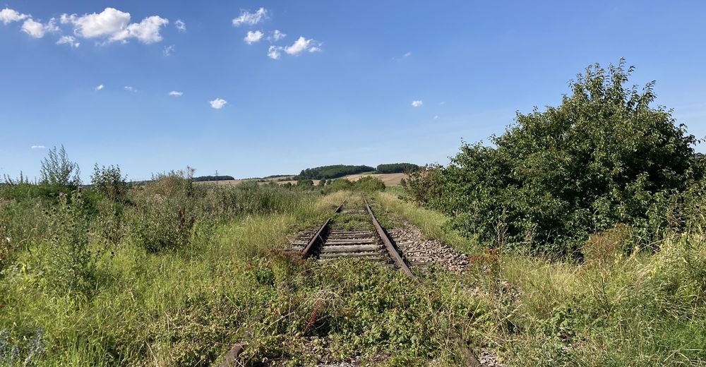
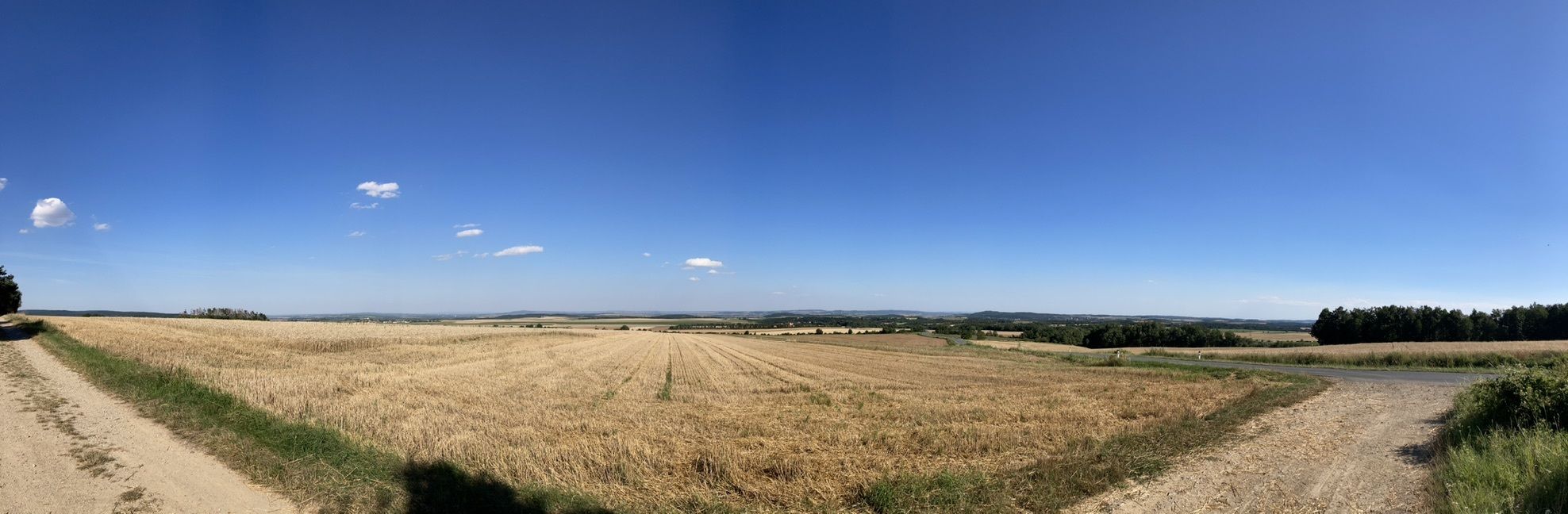
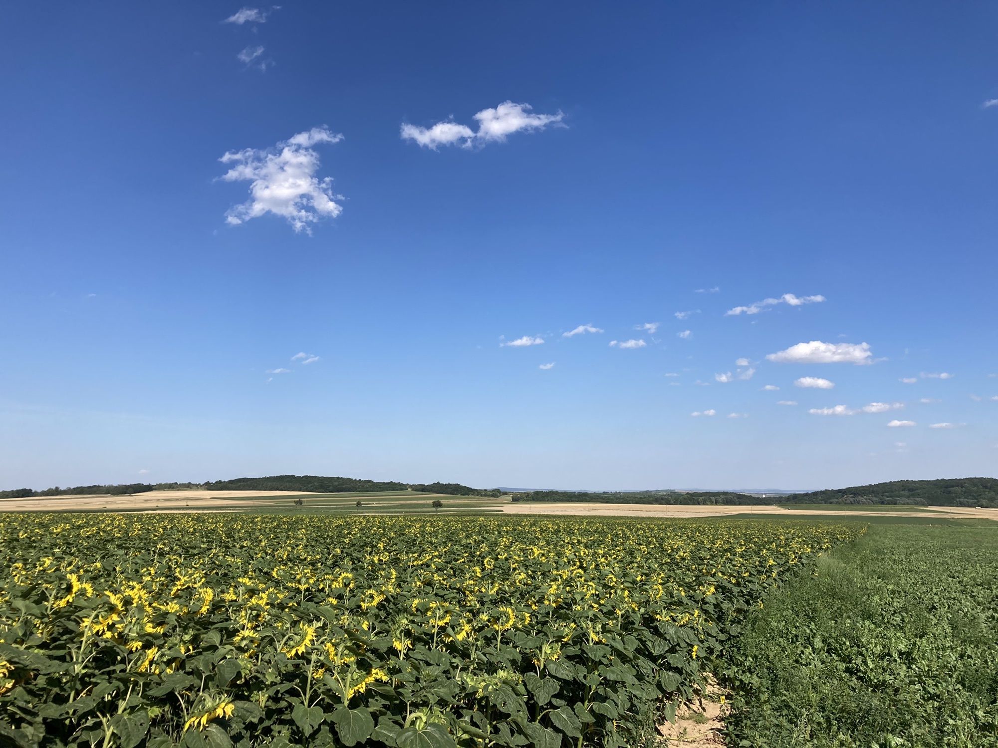
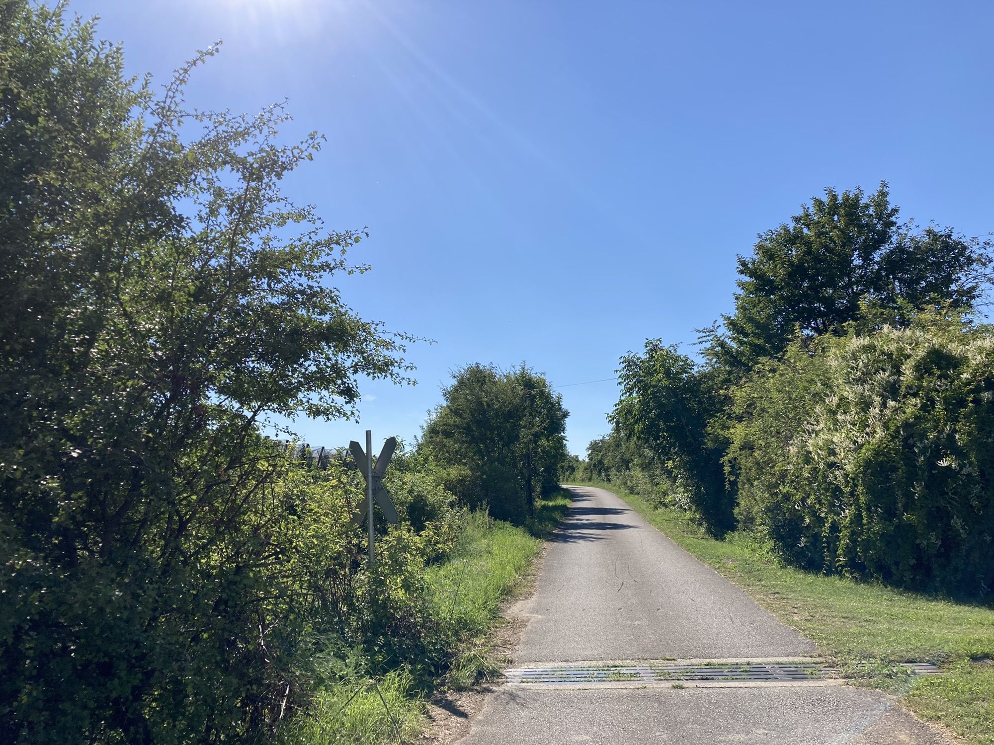
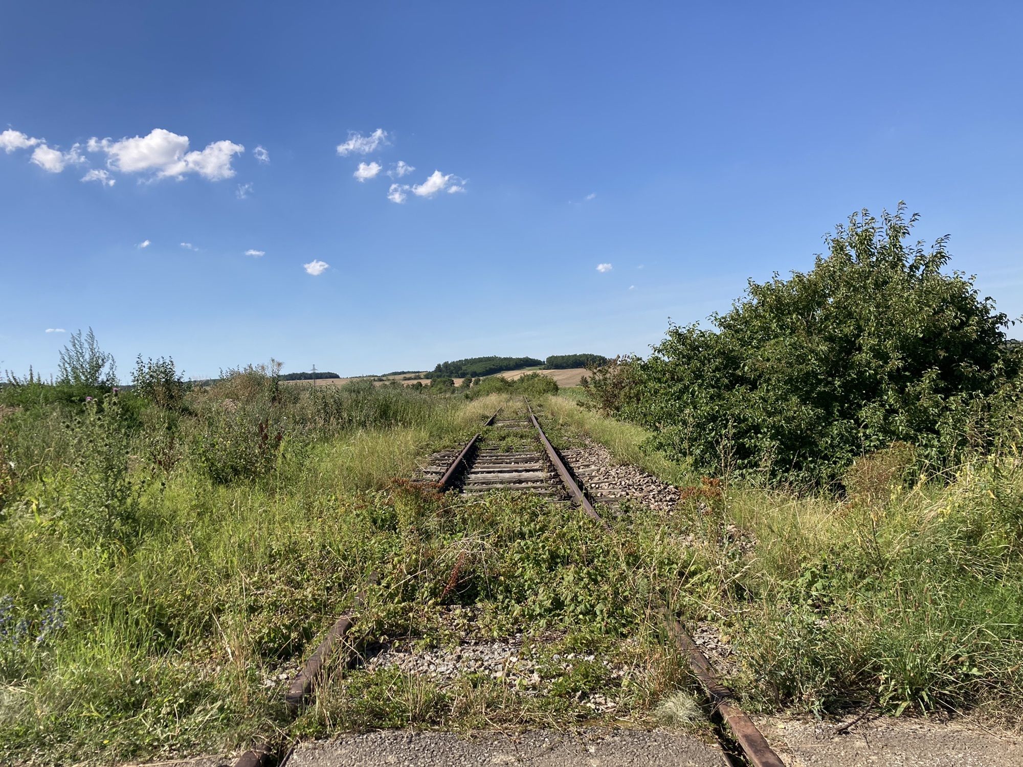
Erlebnisweg im Pulkautal bzw. entlang der ehemaligen Pulkautalbahn
- Dificultad
-
medio
- Valoración
-
- Ruta
-
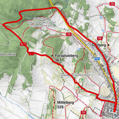
SigmundsherbergPfarrkirche hl. ChristophorusChristophorus-Siedlung0,3 kmMissingdorf7,0 kmBründltal13,6 kmPulkautal13,9 kmGasthaus zur Traube15,3 kmPulkau15,5 kmGroß-Reipersdorf16,4 kmRafing17,9 kmSt. Johannes18,2 kmSt. Jakobus20,4 kmMissingdorf20,4 kmMaigen24,4 kmChristophorus-Siedlung26,5 kmPfarrkirche hl. Christophorus26,5 kmSigmundsherberg26,6 km
- La mejor temporada
-
enefebmarabrmayjunjulagosepoctnovdic
- Punto álgido
- 455 m
GPS Downloads


Más circuitos por las regiones
-
Donau Niederösterreich
2289
-
Nationalparkregion Thayatal
265
-
Eggenburg
123