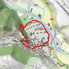
ZWalk - Rastenfeld - Teichwanderweg (2.0)

Senderismo
© ZWalk.at
© ZWalk.at
© ZWalk.at
Datos del tour
4,64km
511
- 530m
21hm
21hm
01:15h

- Breve descripción
-
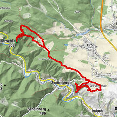
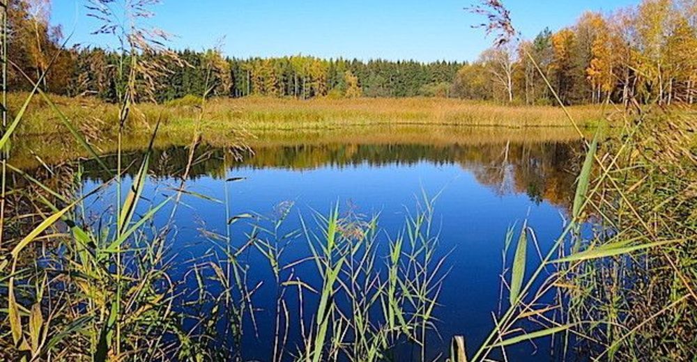
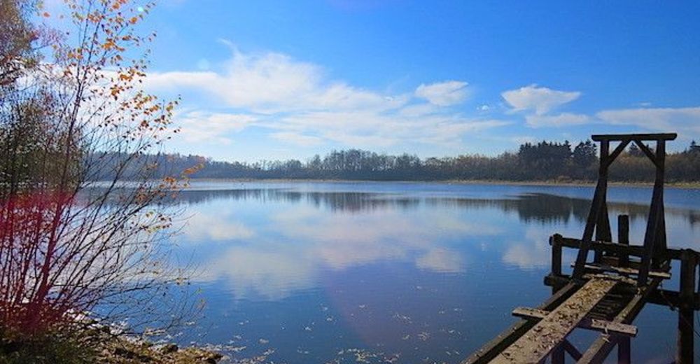
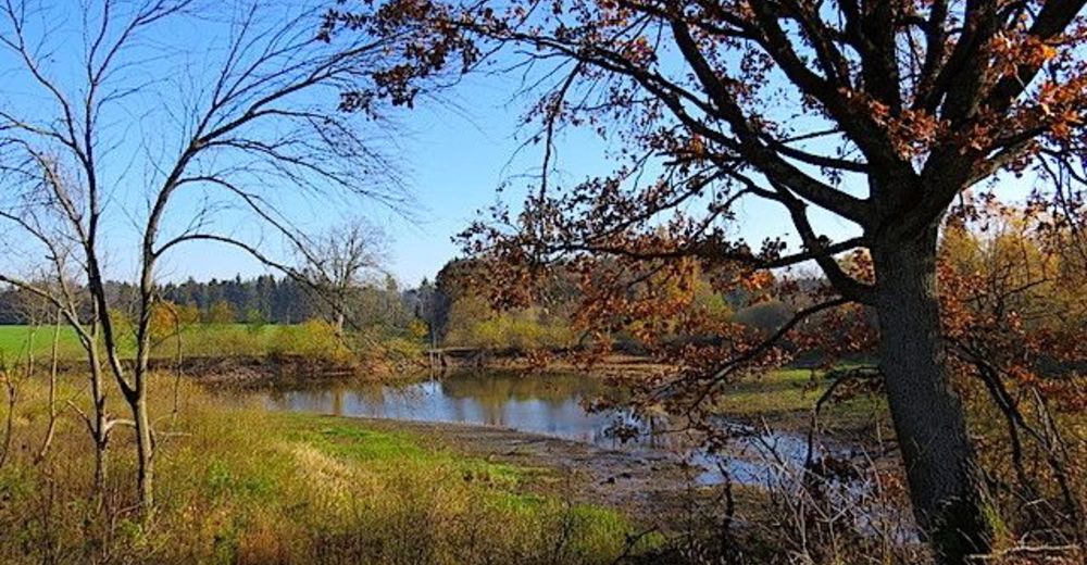
Die Tour führt durch eine typische, leicht hügelige Waldviertler Landschaft. Es geht durch Felder, Wiesen und Wälder, die sich ständig abwechseln.
- Dificultad
-
fácil
- Valoración
-
- Punto de salida
-
Schloß Waldreichs
- Ruta
-
Schlossstüberl4,6 km
- Punto álgido
- 530 m


- Fuente
- ZWalk
GPS Downloads


Más circuitos por las regiones
-
Waldviertel
1776
-
Waldviertel Mitte
1247
-
Rastenfeld
161