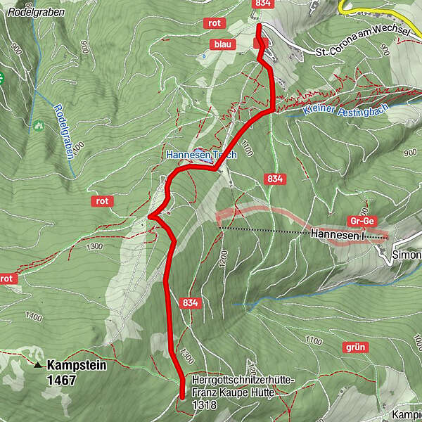
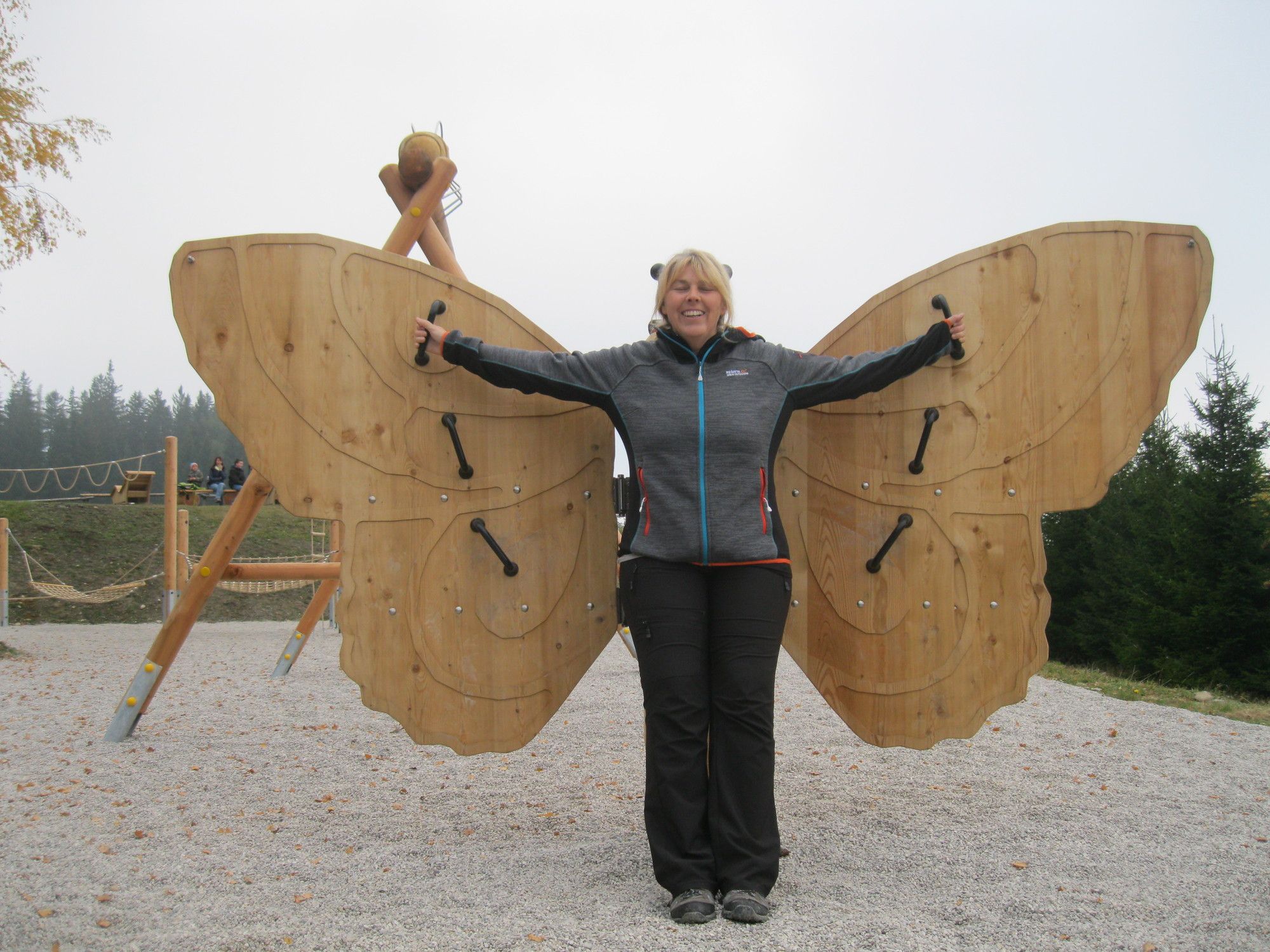
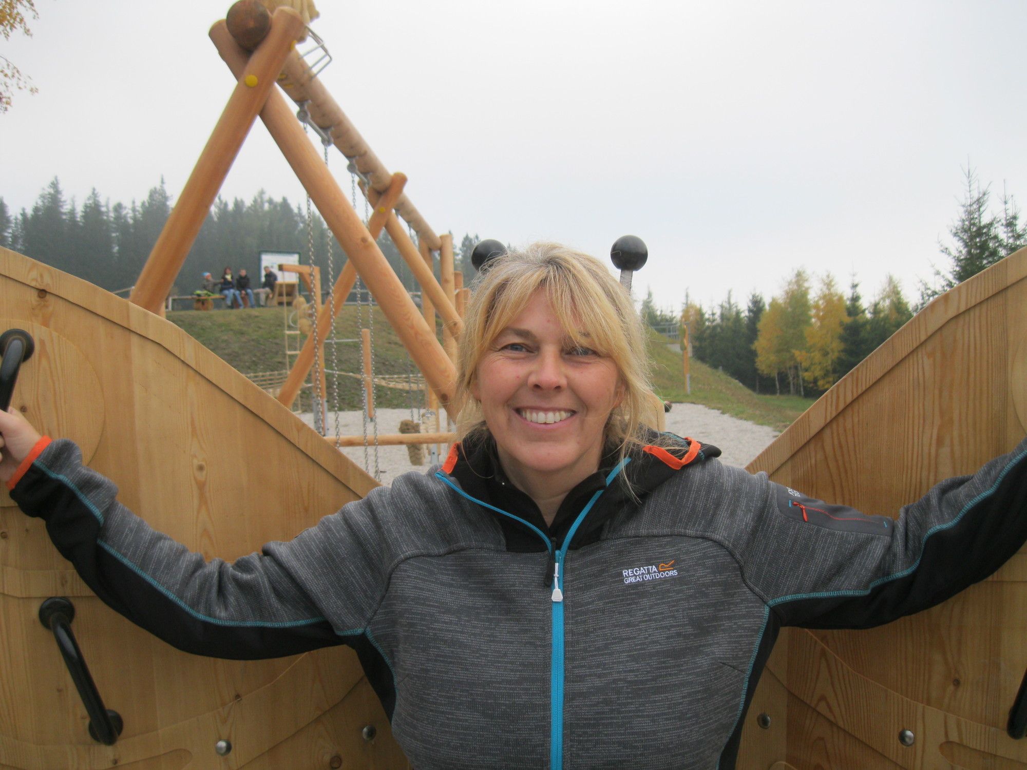
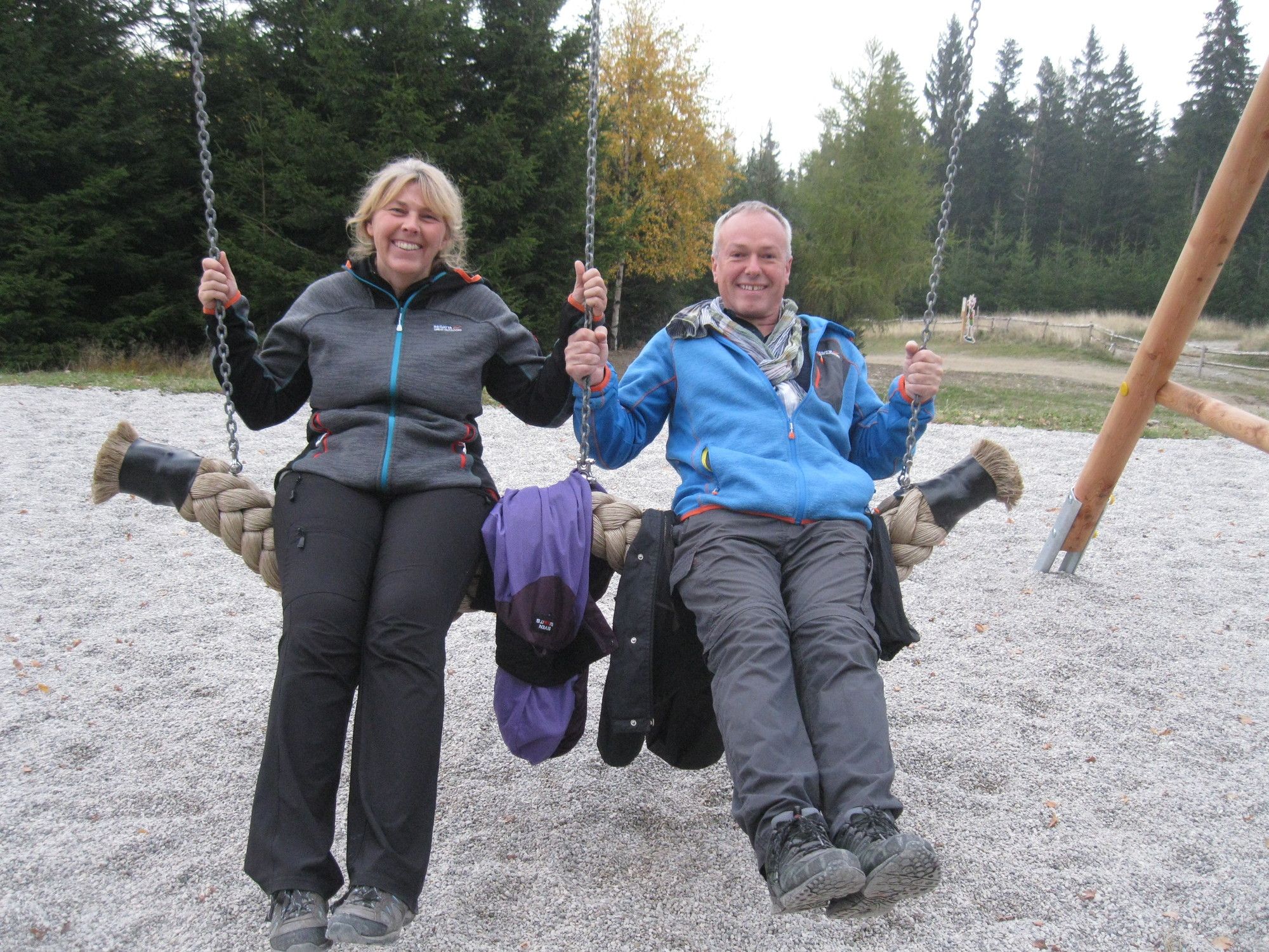
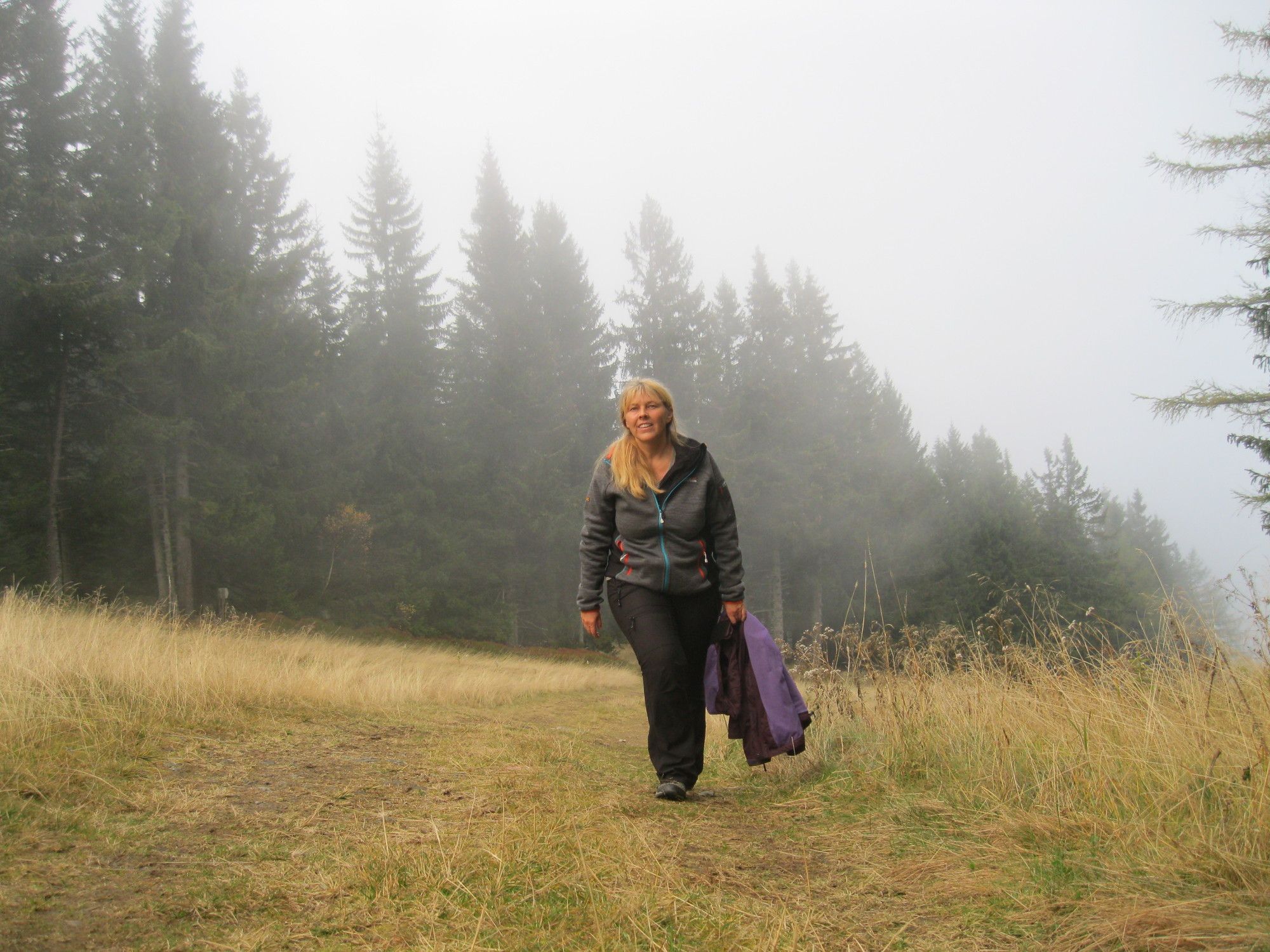
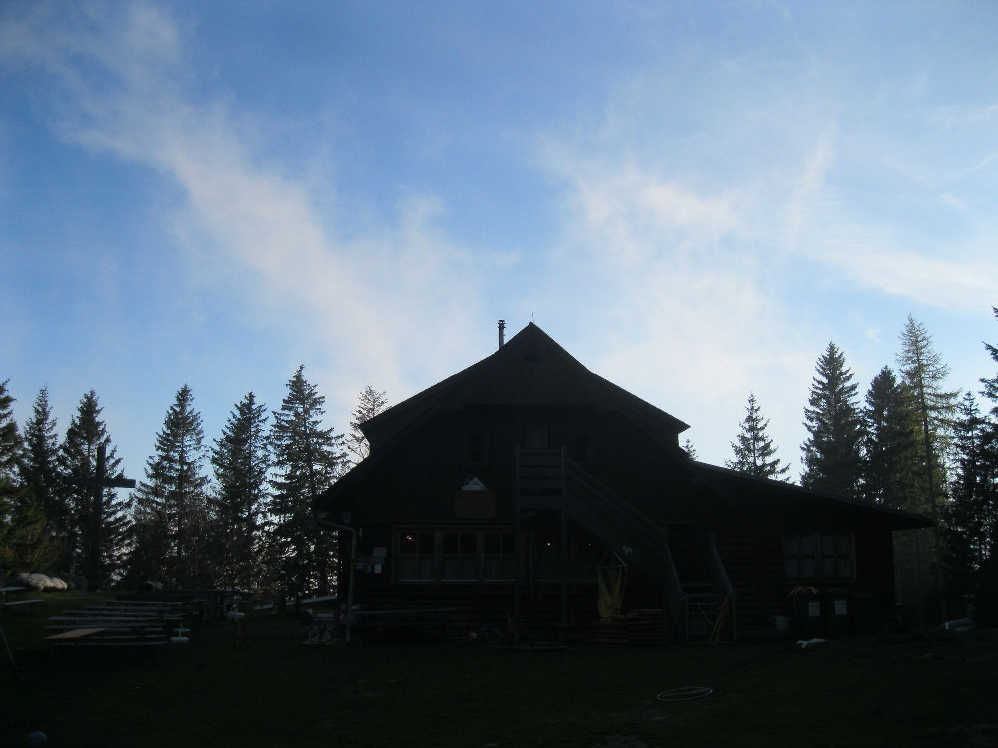
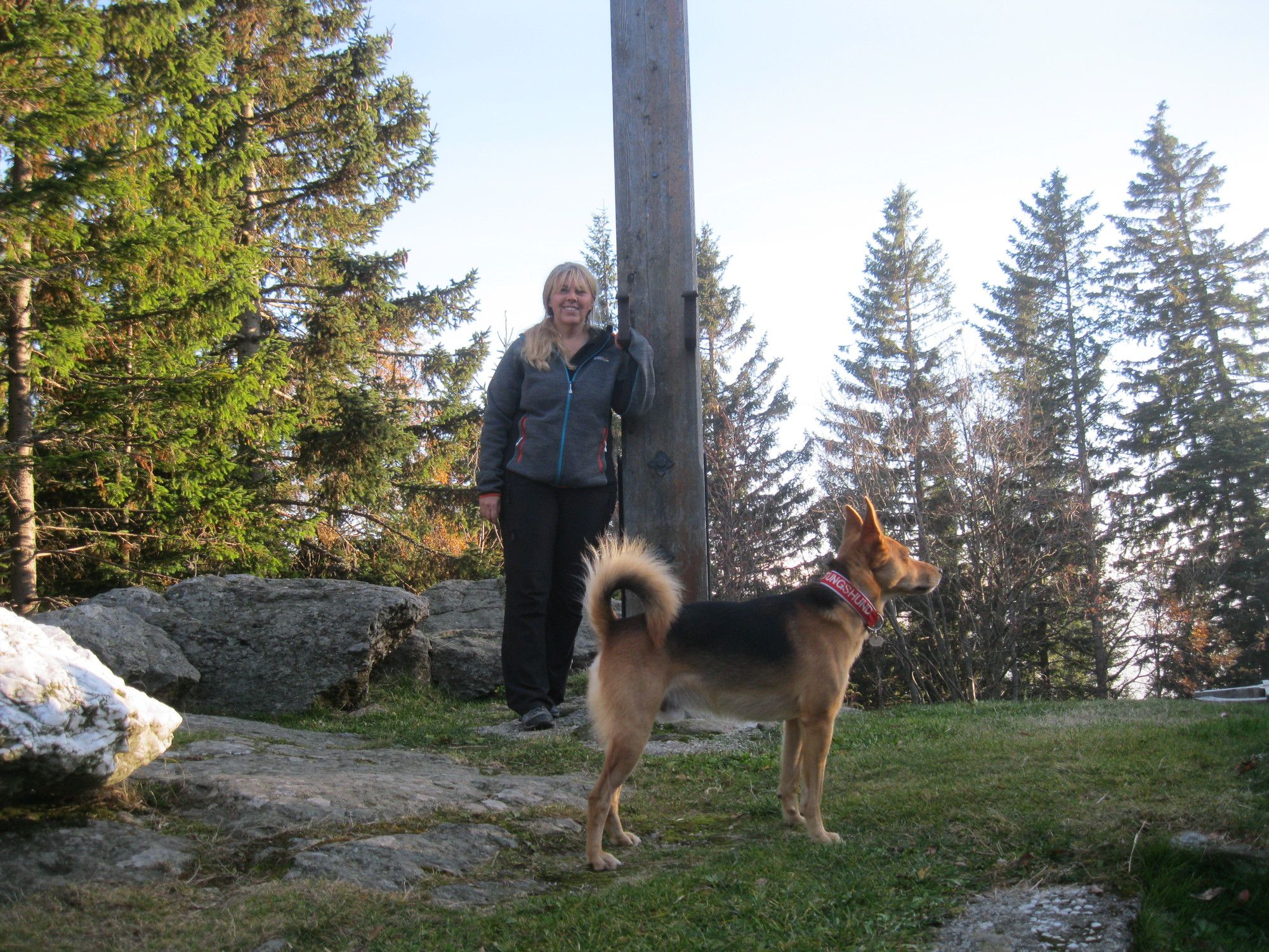
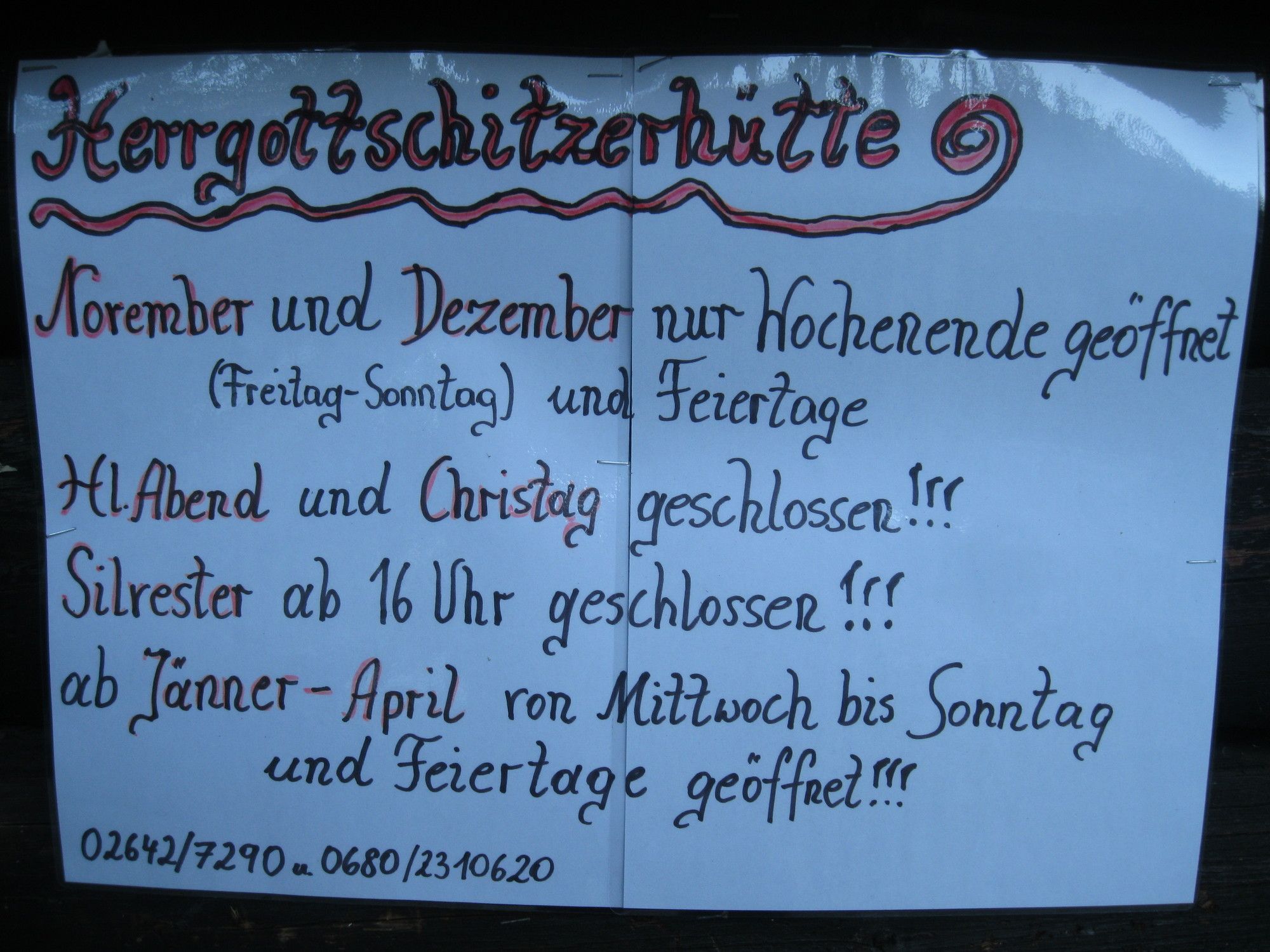
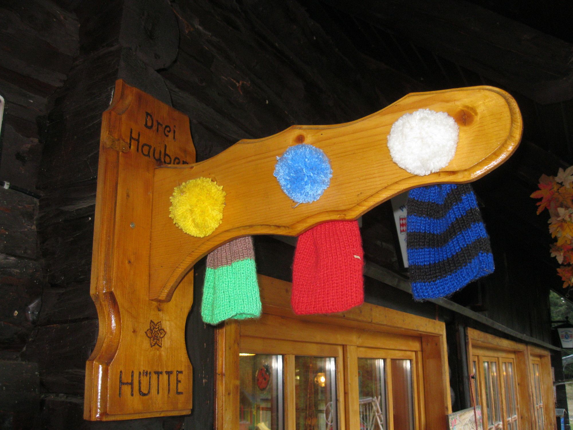
Wechselgebiet: St. Corona am Wechsel - Hergottschnitzerhütte

Senderismo

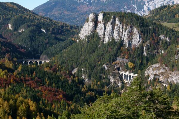
© gert gasperin

© gert gasperin

© gert gasperin

© gert gasperin

© gert gasperin

© gert gasperin

© gert gasperin

© gert gasperin

© gert gasperin

© gert gasperin
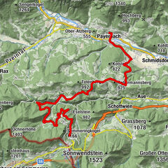
Datos del tour
2,88km
997
- 1.317m
331hm
331hm
03:30h
- Dificultad
-
fácil
- Valoración
-
- Ruta
-
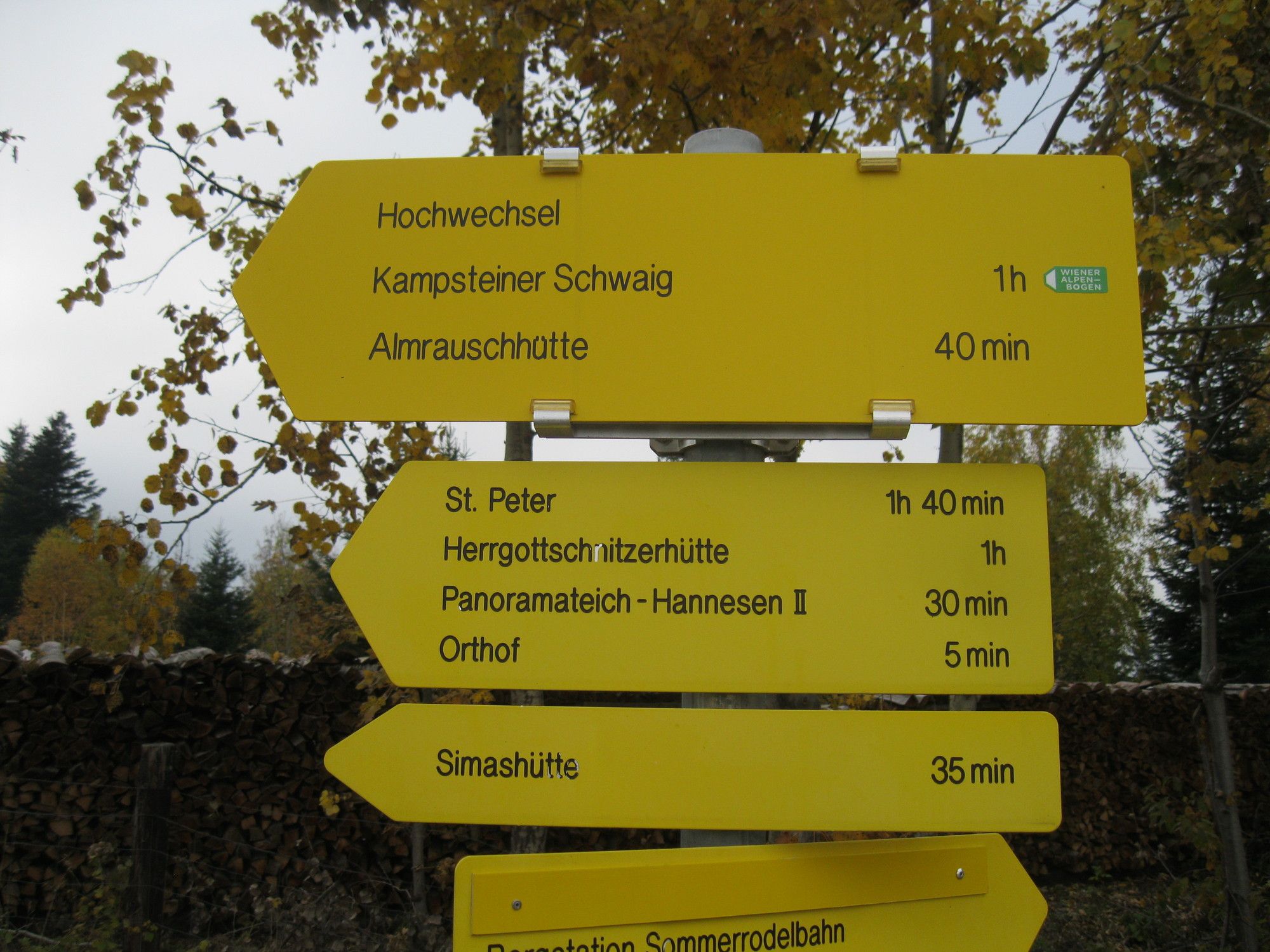
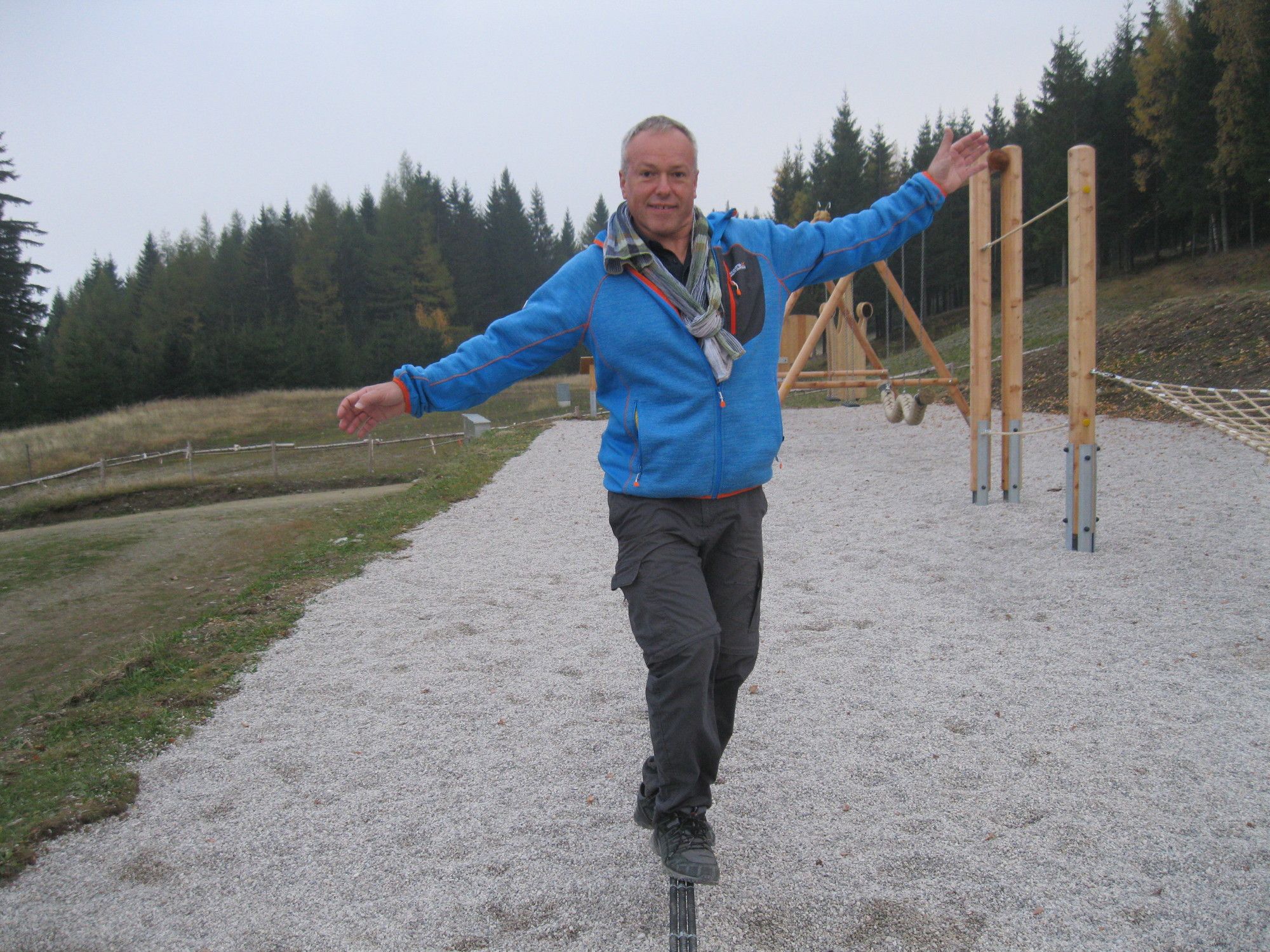
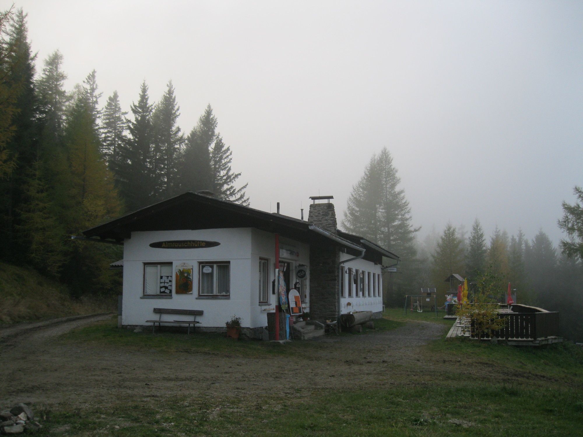
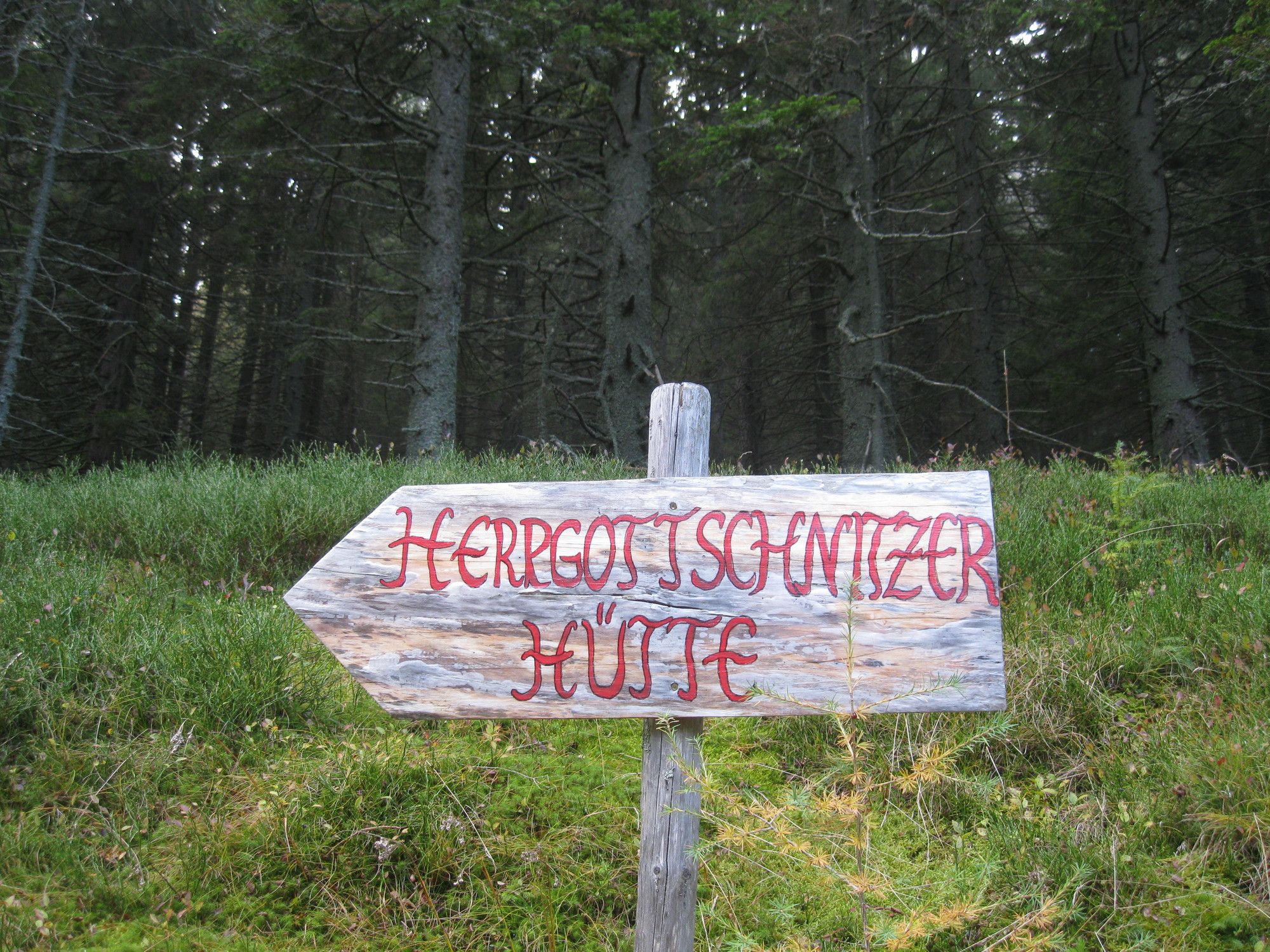
Abenteuerspielplatz1,0 kmAlmrauschhütte1,6 kmHerrgottschnitzerhütte2,8 km
- La mejor temporada
-
enefebmarabrmayjunjulagosepoctnovdic
- Punto álgido
- 1.317 m
GPS Downloads


Superficie de carretera
Asfalto
Gravilla
Pradera
Bosque
Roca
Expuesto
Más circuitos por las regiones
-
Wiener Alpen
3044
-
Wechselland - Wiener Alpen
1702
-
St. Corona am Wechsel
449