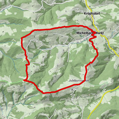


Datos del tour
16,27km
381
- 769m
501hm
457hm
04:34h
- Dificultad
-
fácil
- Valoración
-
- Punto de salida
-
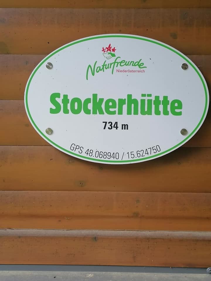
Kreisbach Bhf
- Ruta
-
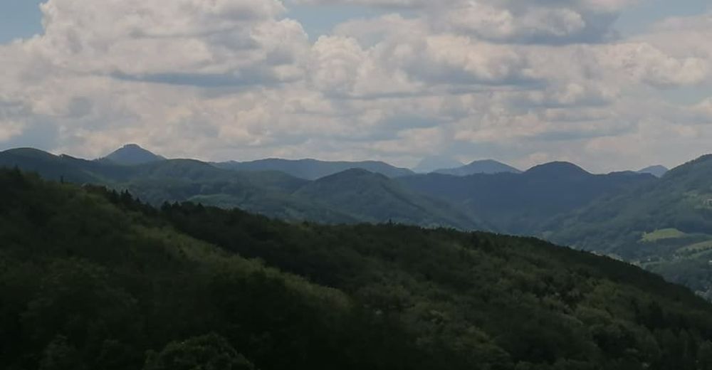
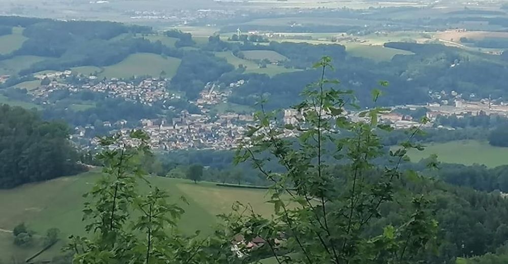
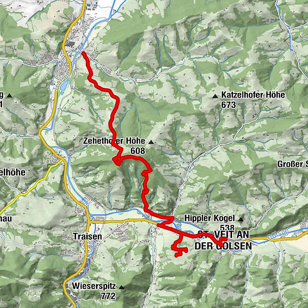
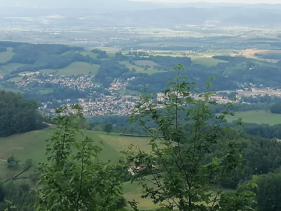
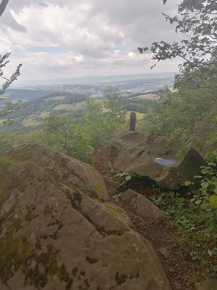
Kreisbach0,0 kmWilhelmsburg0,0 kmHubertuskapelle0,8 kmSteinwandleiten (734 m)5,3 kmGasthof Bekier10,1 kmPfarrkirche St. Veit15,6 kmSt. Veit an der Gölsen (369 m)15,7 kmSt. Veit an der Gölsen16,2 km
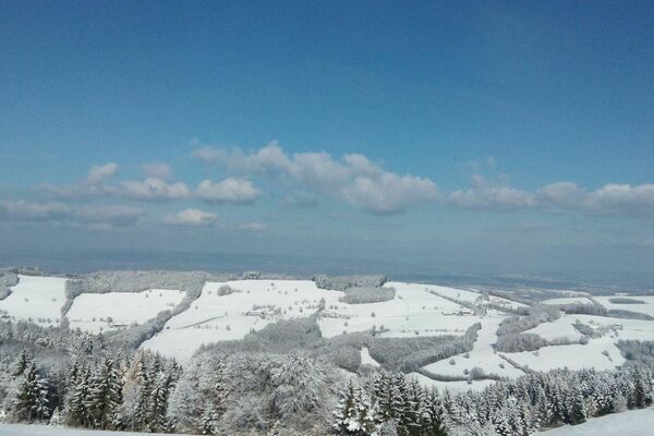
- La mejor temporada
-
enefebmarabrmayjunjulagosepoctnovdic
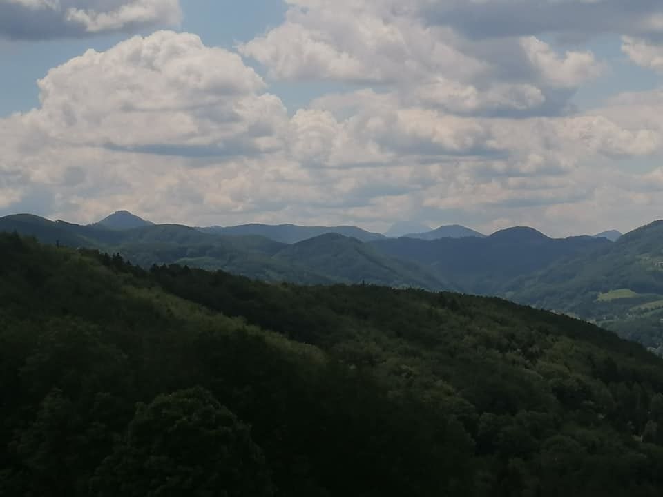
- Punto álgido
- 769 m
- Punto final
-
St. Veit/Gölsen
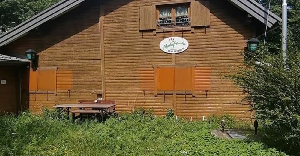
- Descanso/Avituallamiento
-
keine Möglichkeit
GPS Downloads


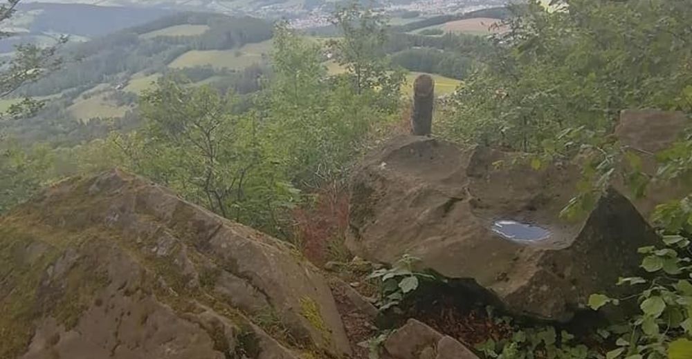
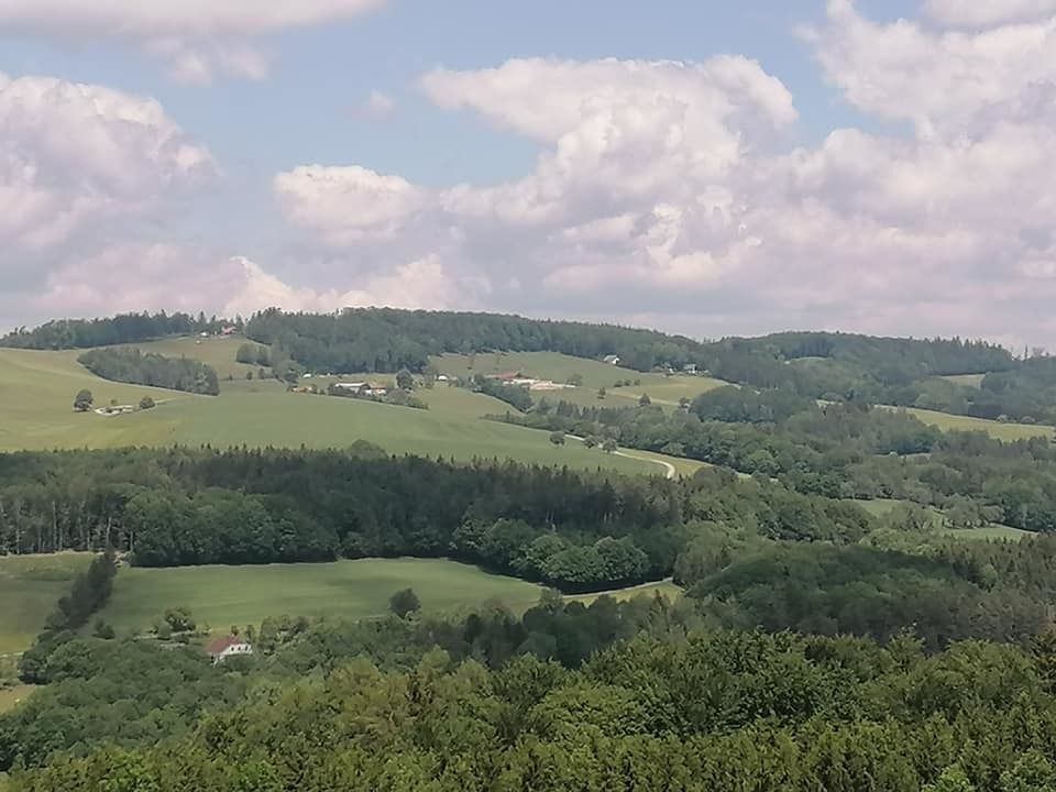
Superficie de carretera
Asfalto
(6km)
Gravilla
(2km)
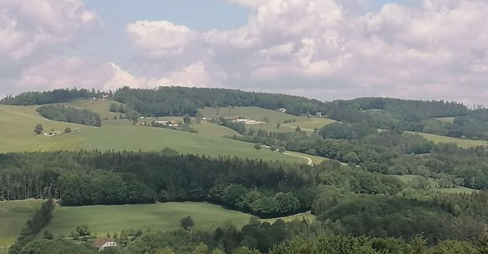
Pradera
Bosque
(8km)
Roca
Expuesto
Más circuitos por las regiones
-
Mostviertel
2453
-
Traisen-Gölsental
1339
-
St. Veit an der Gölsen
366