WAB - Regional Route B: Krumbach - Maria Schnee

Senderismo
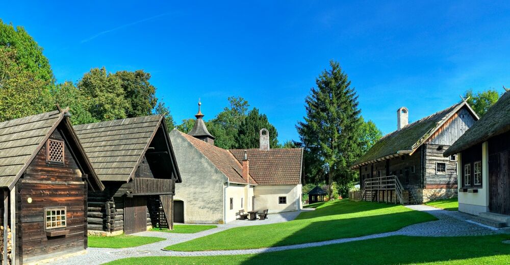
© ©Wiener Alpen, Foto: Walter Strobl - Wiener Alpen Tourismus GmbH
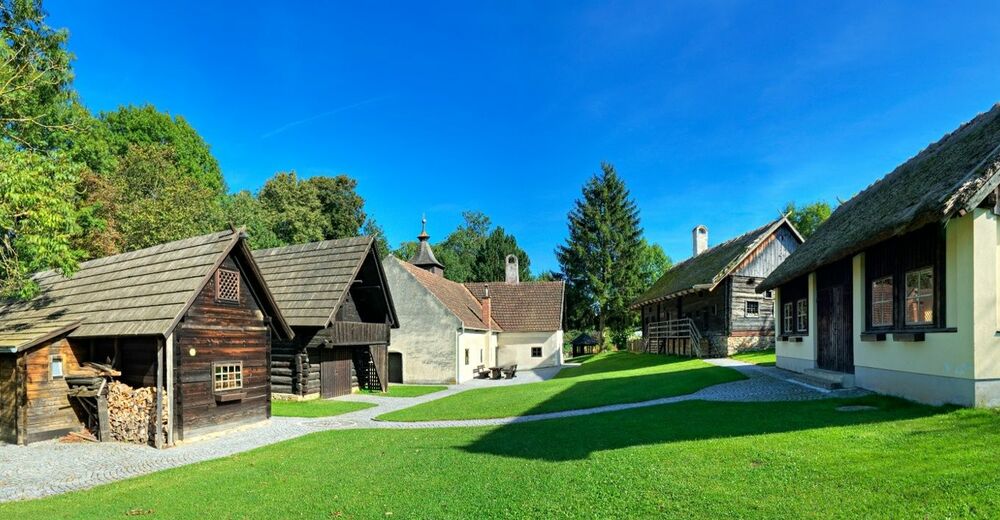
© © Wiener Alpen in NÖ Tourismus GmbH, Foto: Walter Strobl - Wiener Alpen in Niederösterreich Tourismus GmbH

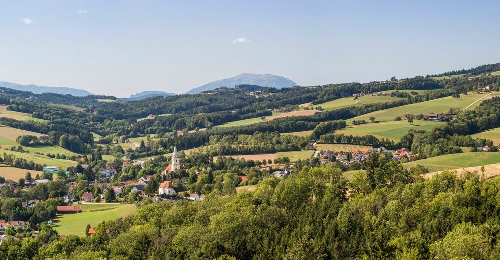
© Wiener Alpen in Niederösterreich - Sophie Weinberger
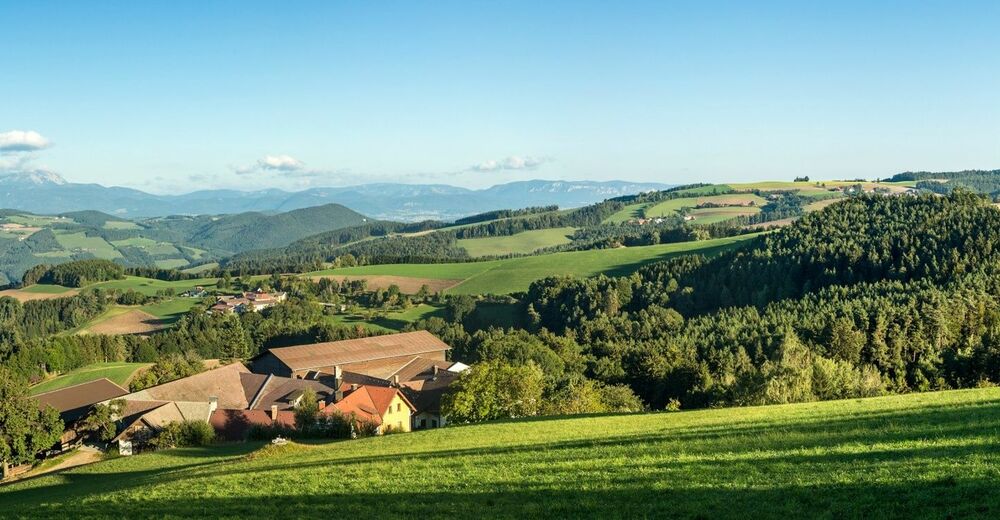
© Wiener Alpen in Niederösterreich - Sophie Weinberger
© Wiener Alpen in Niederösterreich - Sophie Weinberger

- Breve descripción
-
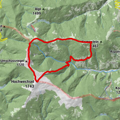
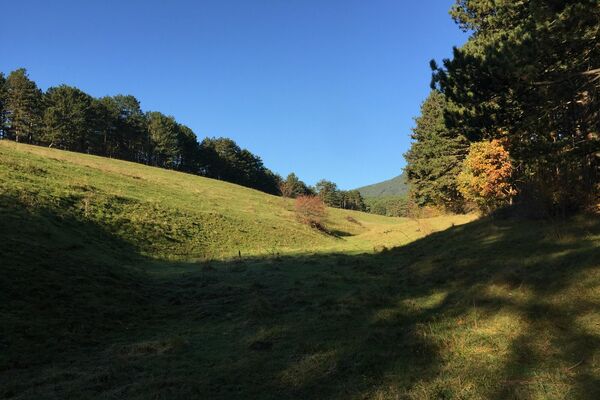
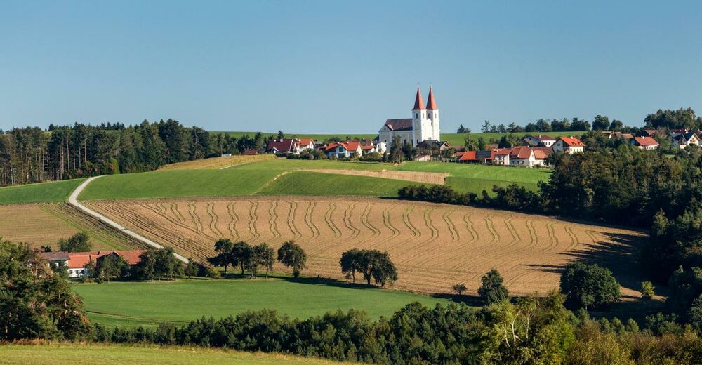
Regional Route B is a high-altitude hike with numerous views across the whole of the Viennese Alps region. The Regional Routes are part of the network of paths making up the Viennese Alps (WAB) route. Hikes along these routes lead you to unique views and also insights. The Regional Routes are linked to the network of paths making up the Viennese Alps route. This results in circular hikes in conjunction with the long-distance path.
- Dificultad
-
medio
- Valoración
-
- Ruta
-
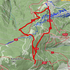
Krumbach - MarktSt. Stefan0,1 kmWiesfleck4,9 kmWetterkreuzriegel (855 m)5,1 kmGasthof Maria Schnee12,2 kmKaltenberg12,4 kmMaria Schnee12,6 km
- La mejor temporada
-
enefebmarabrmayjunjulagosepoctnovdic
- Punto álgido
- 867 m
- Punto final
-
Maria Schnee Pilgrimage Church in Lichtenegg
- Perfil alto
-


- Autor
-
La gira WAB - Regional Route B: Krumbach - Maria Schnee es utilizado por outdooractive.com proporcionado.
GPS Downloads


Información general
Vistas panorámicas
Más circuitos por las regiones
-
Wiener Alpen
3051
-
Wechselland - Wiener Alpen
1707
-
Lichtenegg
251