WAB - Regional Route I: Kirchberg/Wechsel - Maria Schutz

Senderismo
© ©Wiener Alpen, Foto: Christian Kremsl - Wiener Alpen in Niederösterreich
© ©Andreas Kranzmayer - Wiener Alpen in Niederösterreich Tourismus GmbH
© Wiener Alpen in Niederösterreich - Sophie Weinberger
© Wiener Alpen in Niederösterreich - Sophie Weinberger

© Wiener Alpen in Niederösterreich - Sophie Weinberger
© Wiener Alpen in Niederösterreich - Sophie Weinberger
© Wiener Alpen in Niederösterreich - Sophie Weinberger

© Wiener Alpen in Niederösterreich - Sophie Weinberger
© Wiener Alpen in Niederösterreich - Sophie Weinberger
© Wiener Alpen in Niederösterreich - Katrin Zeleny

- Breve descripción
-
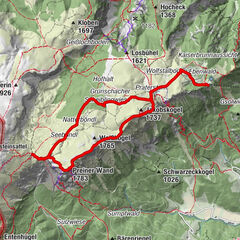
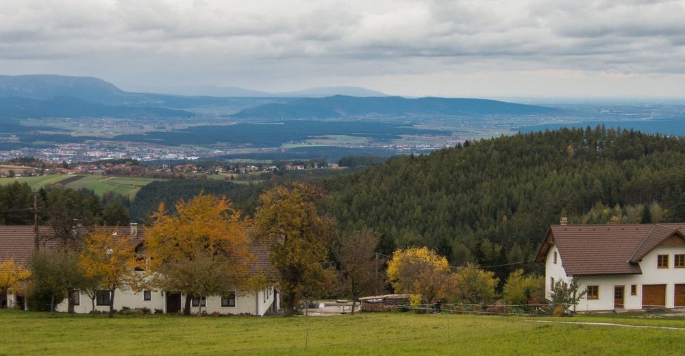
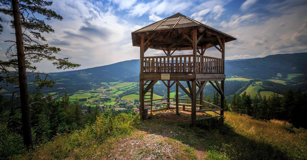
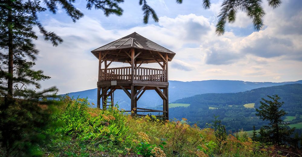
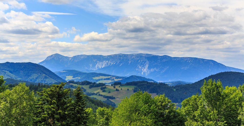
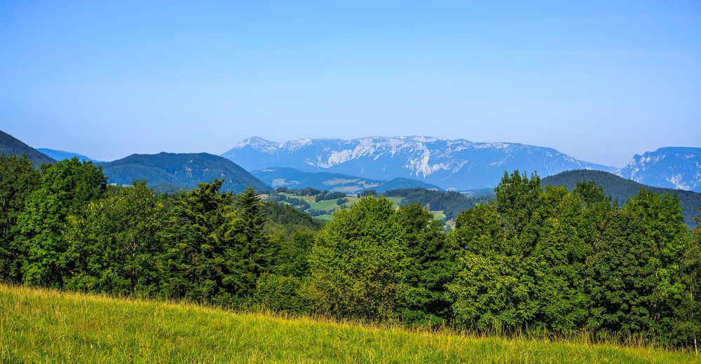
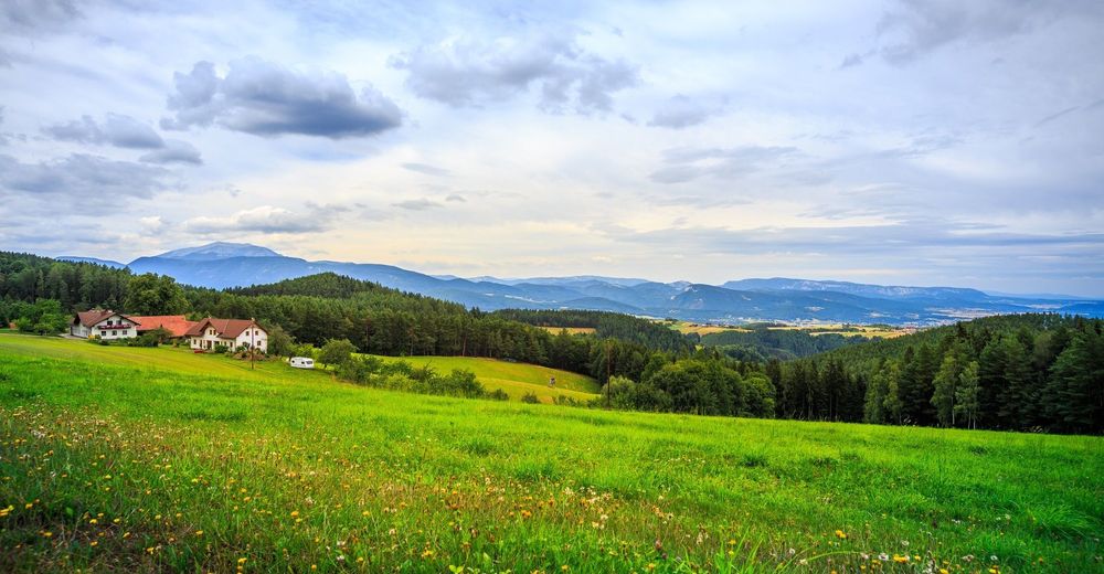
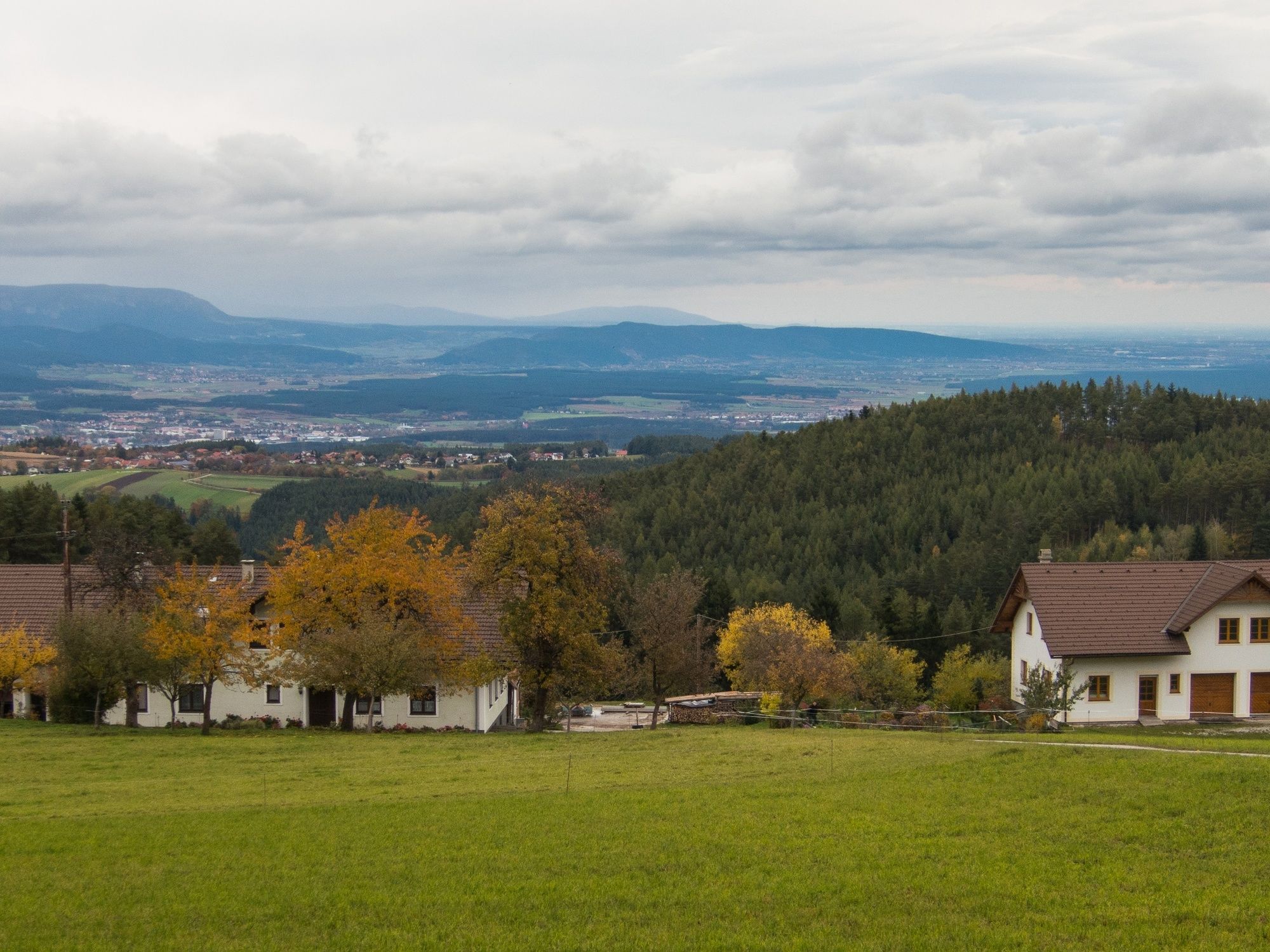
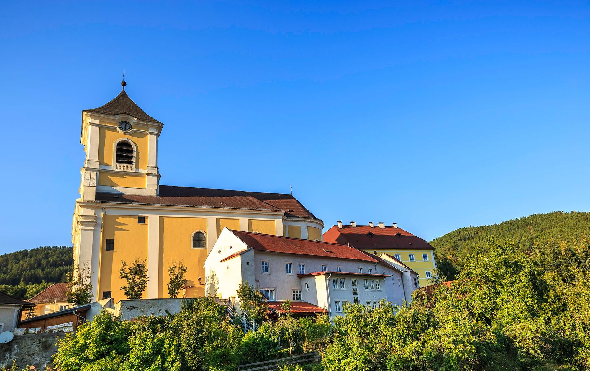
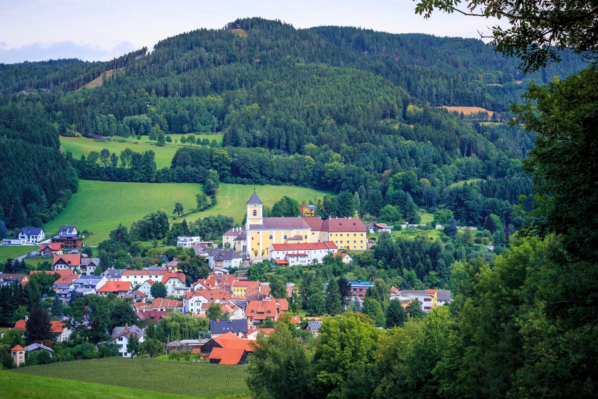
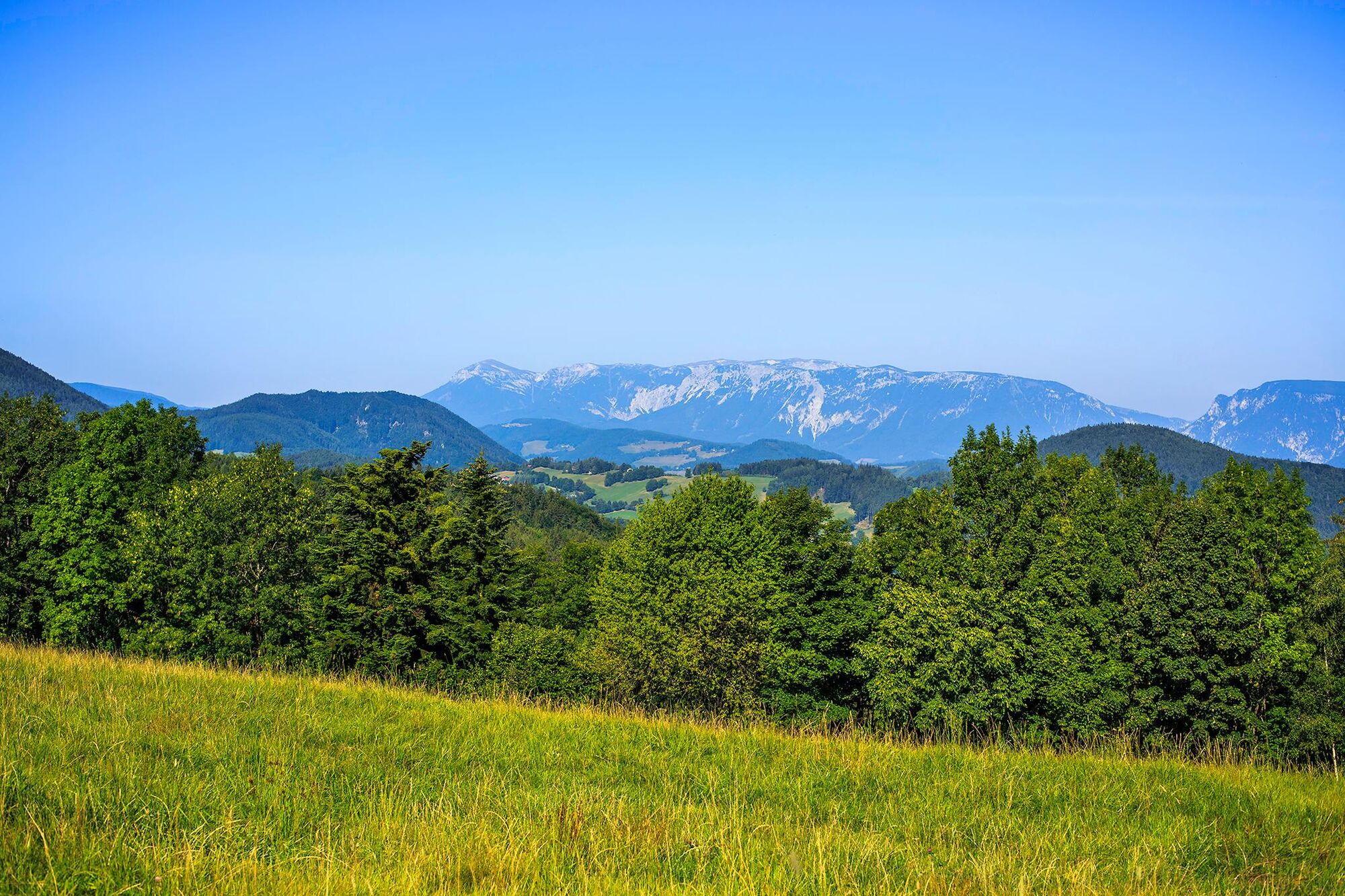
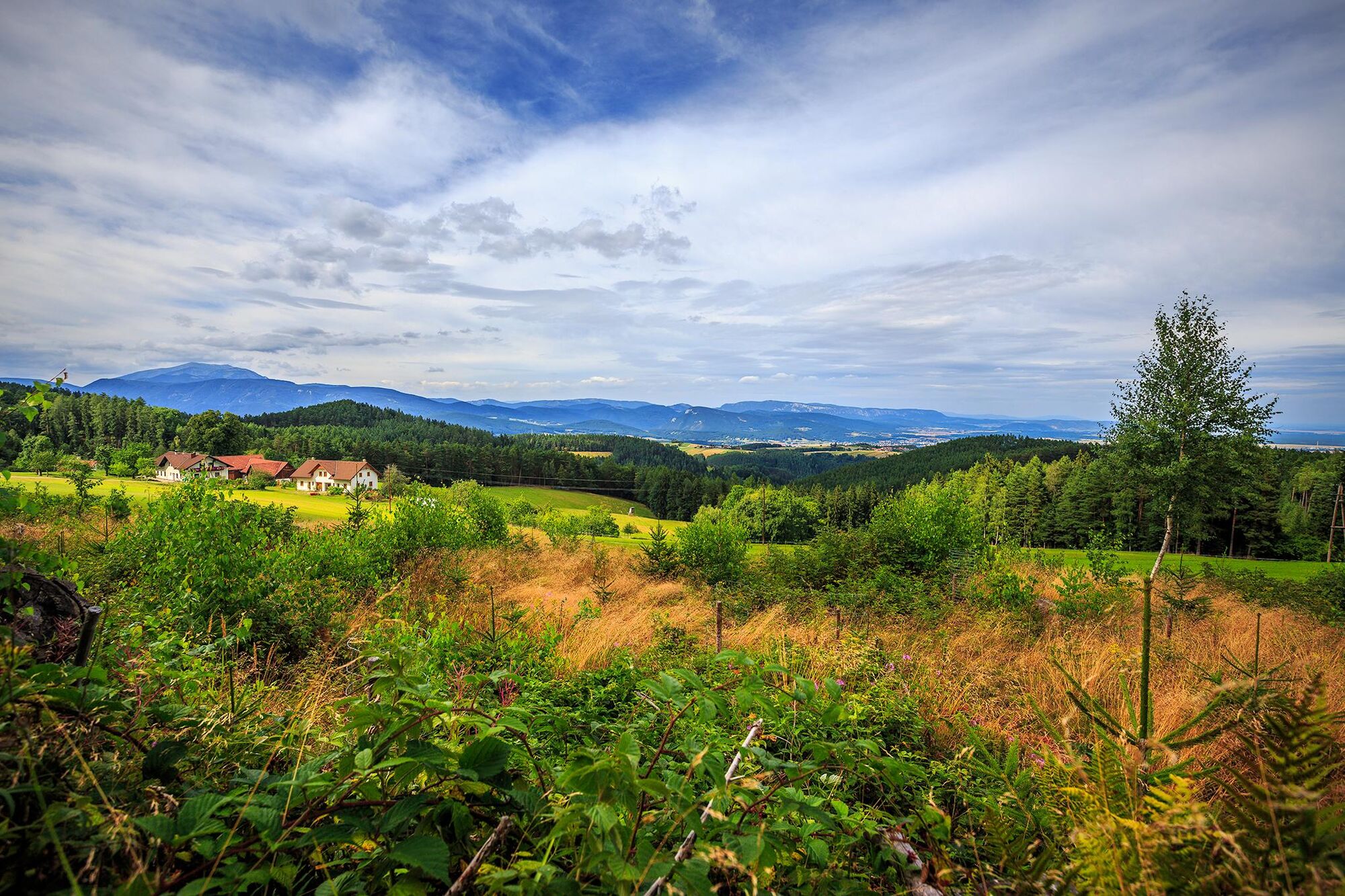
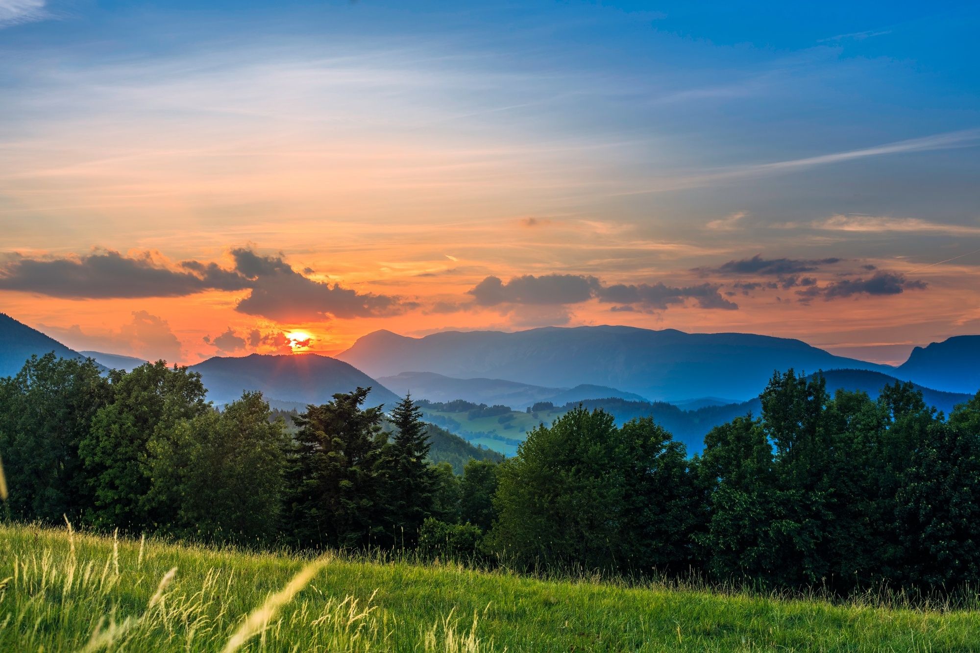
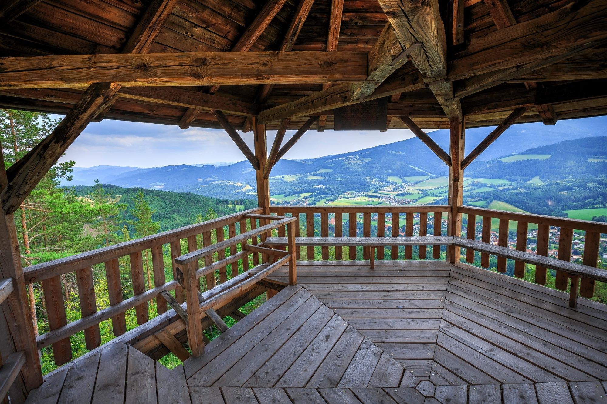
Regional Route I is from Kirchberg am Wechsel to Maria Schutz Pilgrimage Church. The Regional Routes are part of the network of paths making up the Viennese Alps (WAB) route. Hikes along these routes lead you to unique views and also insights. The Regional Routes are linked to the network of paths making up the Viennese Alps route. This results in circular hikes in conjunction with the long-distance path.
- Dificultad
-
medio
- Valoración
-
- Ruta
-
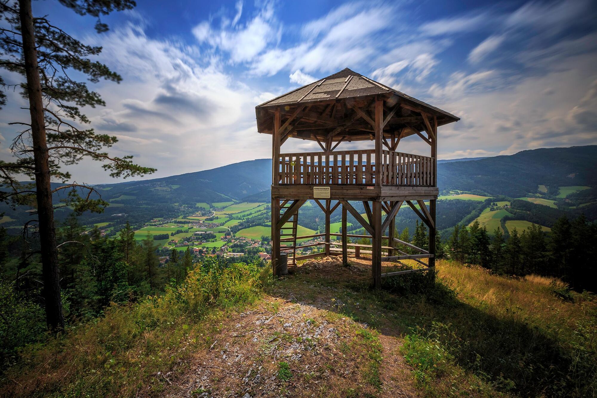
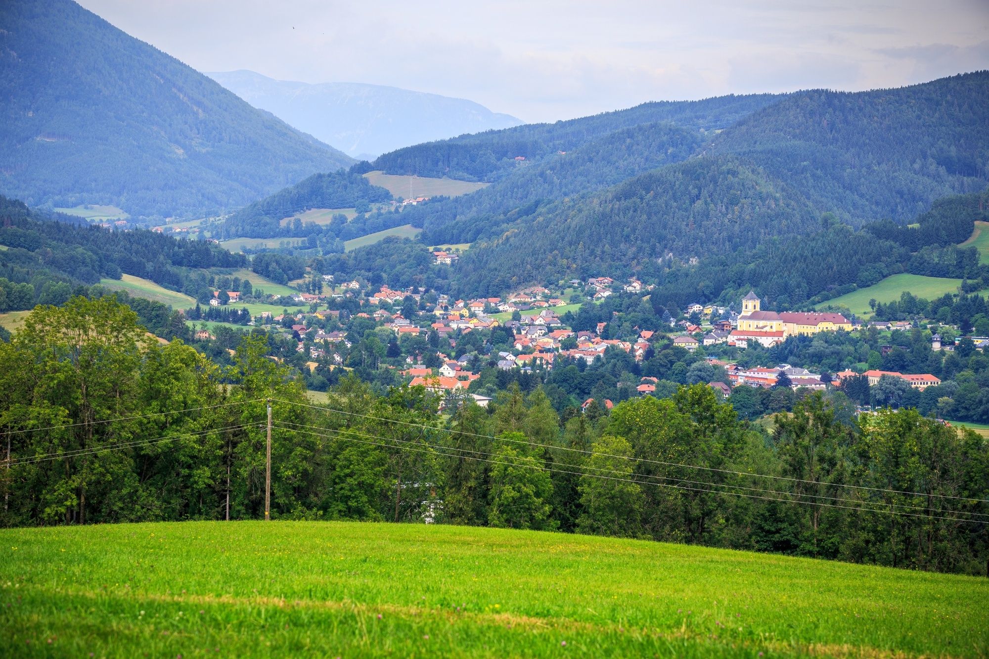
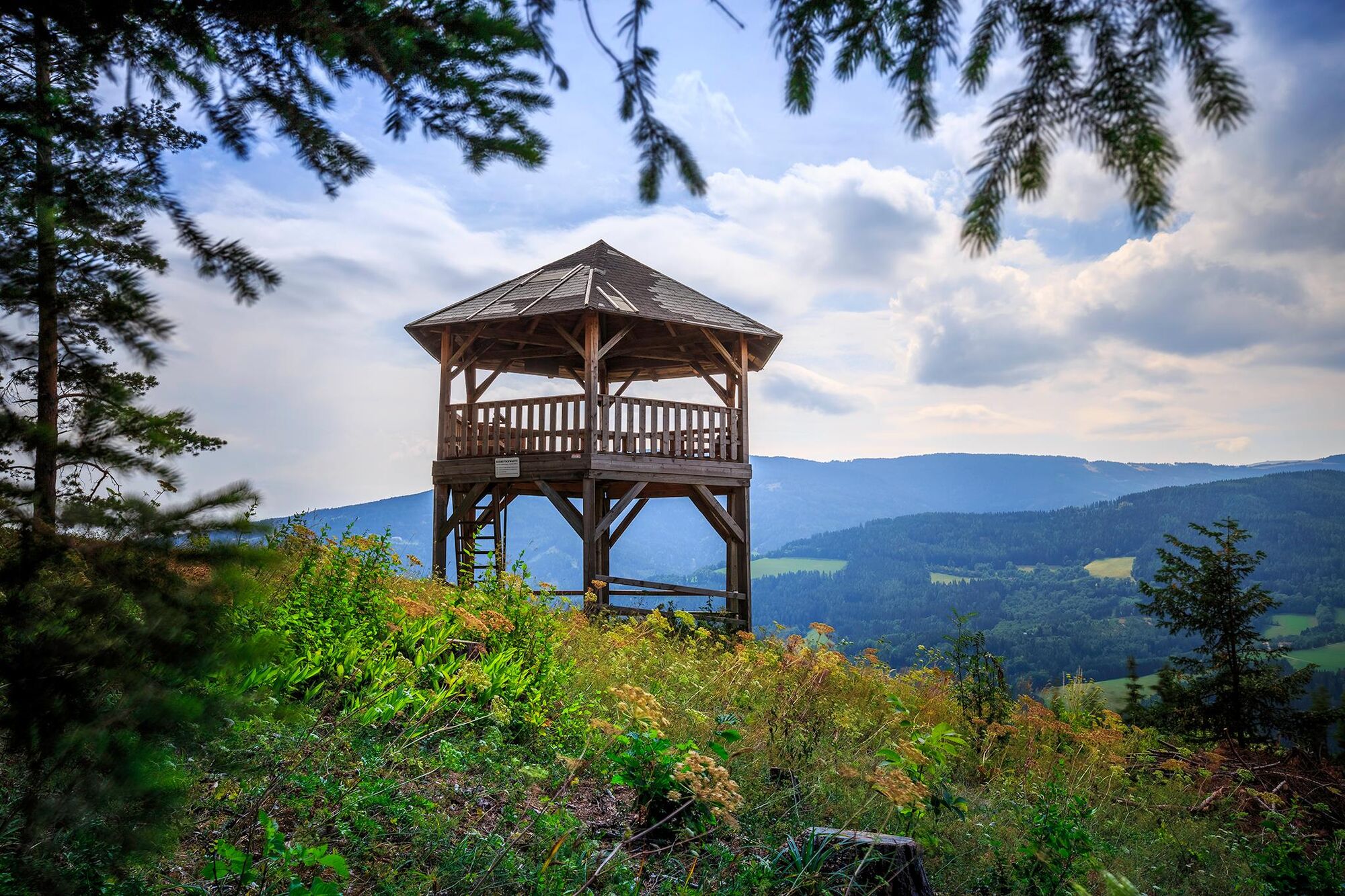
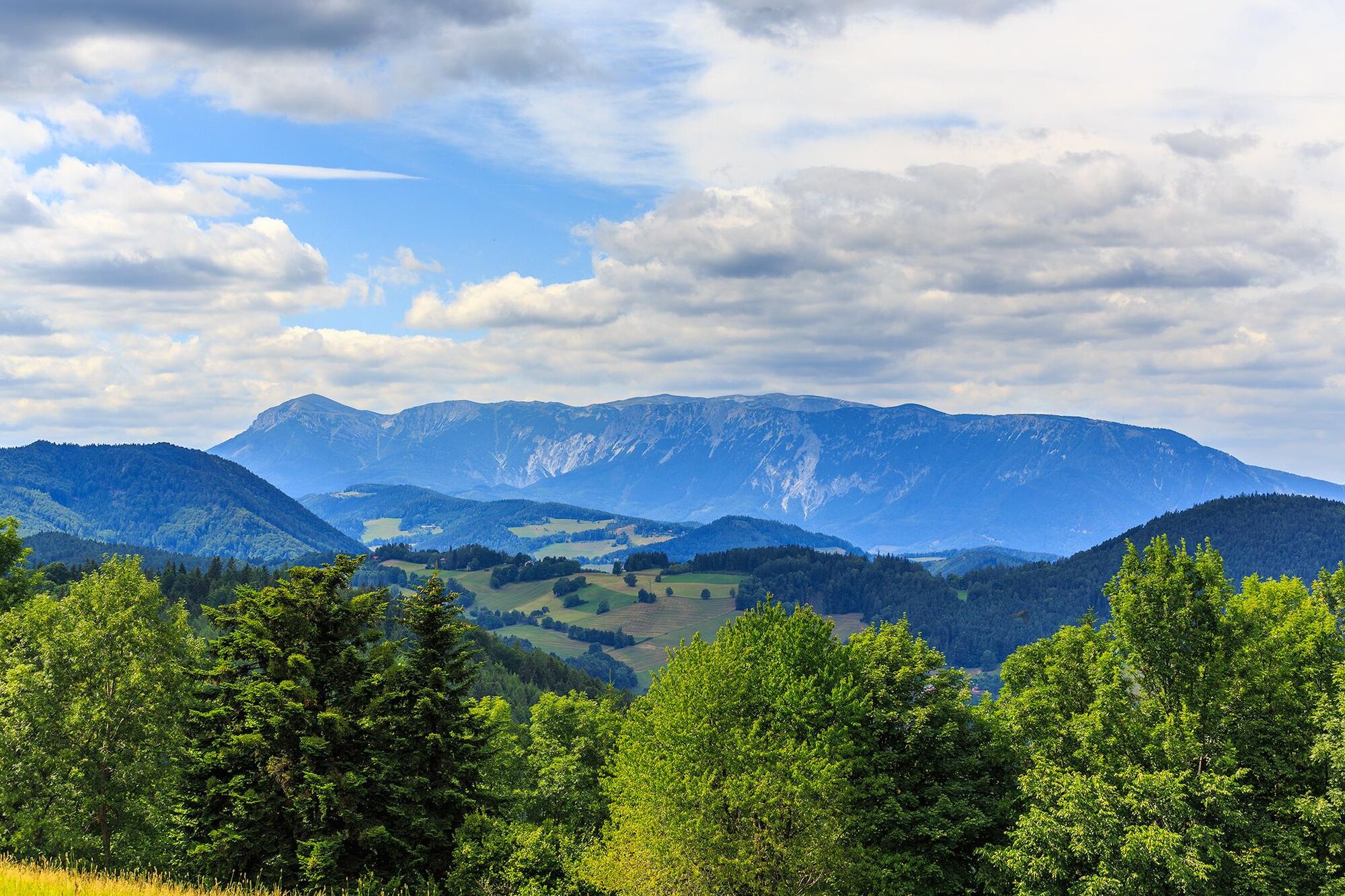
Kirchberg am Wechsel0,1 kmEselberg (974 m)3,0 kmSilo4,1 kmRamswirt4,9 kmGasthof Diewald, Waldpension9,0 kmRaach am Hochgebirge9,1 kmSt. Ägydius9,1 kmSchlagl10,0 kmSchanzkapelle12,2 kmGöstritzloch II13,3 kmWallfahrtskirche und Passionistenkloster Maria SchutzMaria Schutz15,3 kmKirchenwirt15,3 kmGasthaus Auerhahn - Familie Rumpler15,4 kmMaria Schutz15,4 km
- La mejor temporada
-
enefebmarabrmayjunjulagosepoctnovdic
- Punto álgido
- 979 m
- Punto final
-
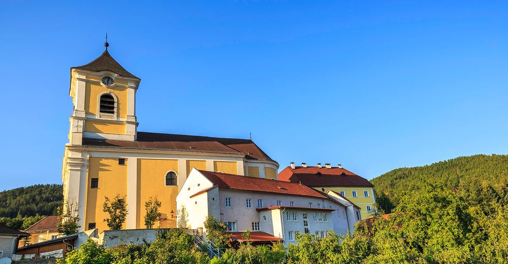
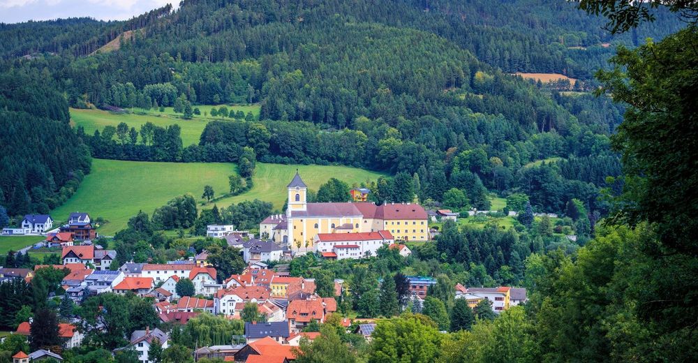
Maria Schutz Pilgrimage Church
- Perfil alto
-


- Autor
-
La gira WAB - Regional Route I: Kirchberg/Wechsel - Maria Schutz es utilizado por outdooractive.com proporcionado.
GPS Downloads


Información general
Punto de avituallamiento
Más circuitos por las regiones
-
Wiener Alpen
3050
-
Semmering - Rax
2316
-
Otterthal
617