
Datos del tour
12,07km
222
- 472m
429hm
465hm
04:30h
- Breve descripción
-
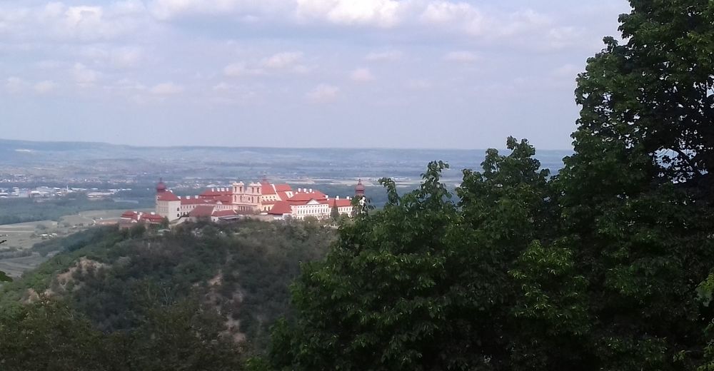
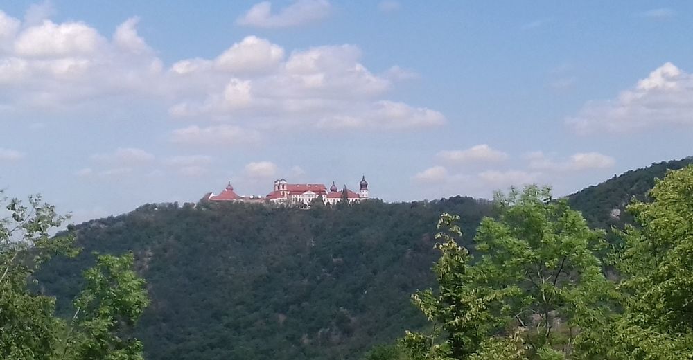
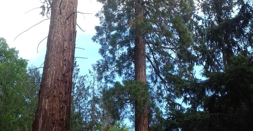
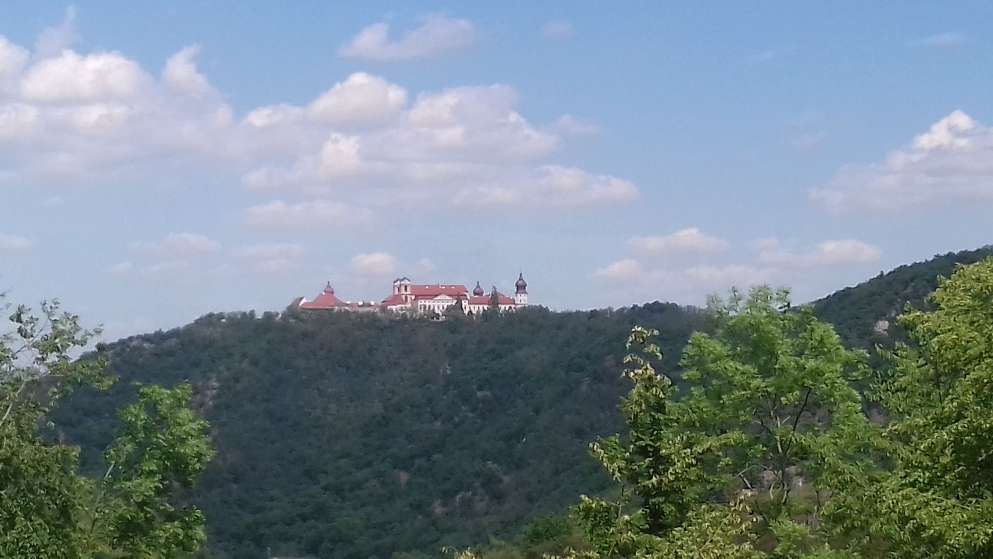
Wanderung in den Bergen bei Göttweig. Keine lange Strecke, aber es geht einige Male steil bergauf und bergab.
- Dificultad
-
medio
- Valoración
-
- Punto de salida
-
Bahnhof Paudorf
- Ruta
-
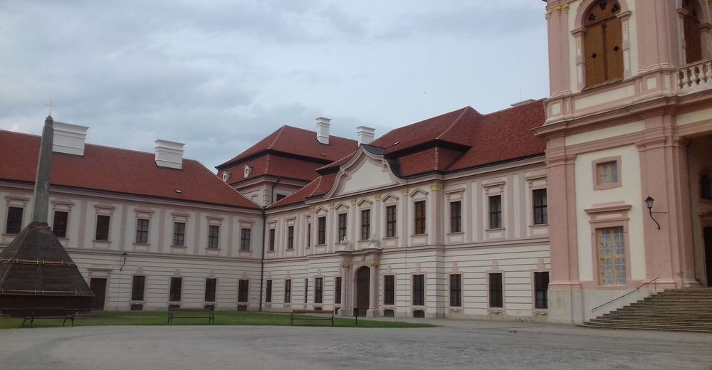
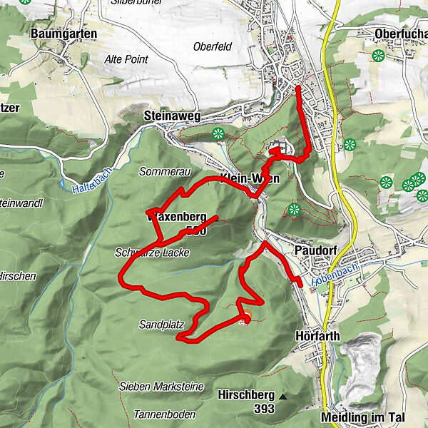
Paudorf (253 m)Pflanzen-Memory2,2 kmBaumtreppe2,2 kmWaxenberg (501 m)6,4 kmKlein-Wien9,1 kmFilialkirche hl. Blasius9,3 kmLandgasthof Schickh9,4 kmStiftskirche St. Maria10,3 kmErentrudiskapelle10,4 kmFurth bei Göttweig11,7 km
- La mejor temporada
-
enefebmarabrmayjunjulagosepoctnovdic
- Punto álgido
- 472 m
- Punto final
-
Bahnhof Furth-Göttweig
- Descanso/Avituallamiento
-
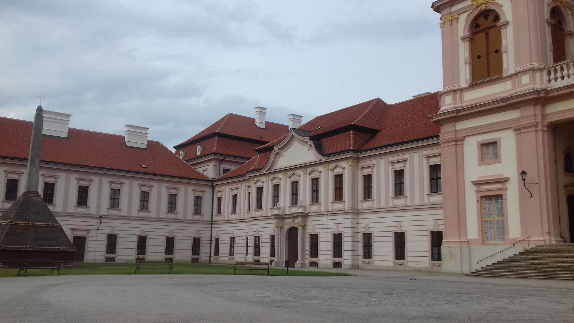
Landgasthof Schickh in kleinwien, Stiftsrestaurant

GPS Downloads


Superficie de carretera
Asfalto
Gravilla
Pradera
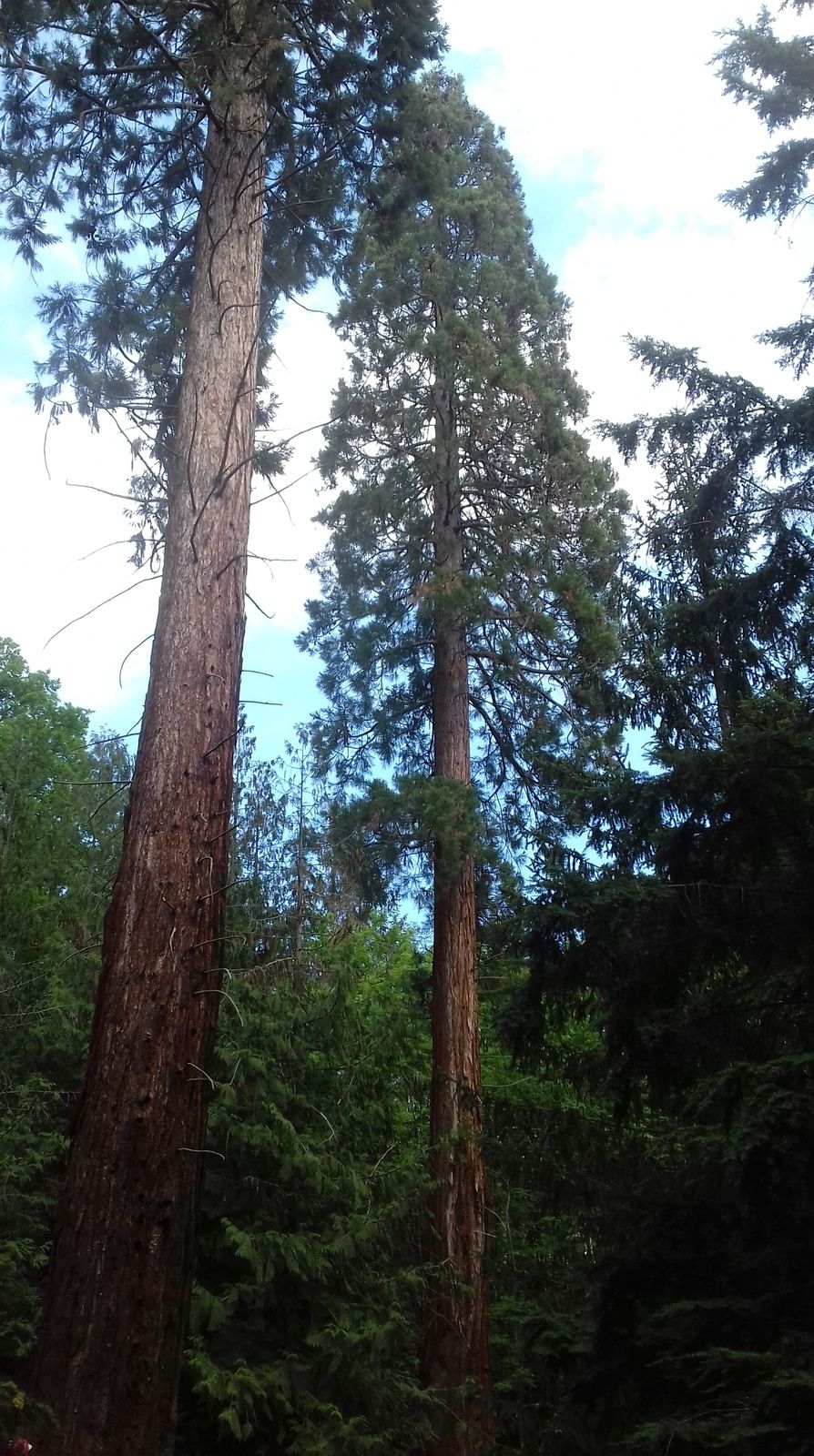
Bosque
Roca
Expuesto
Más circuitos por las regiones
-
Donau Niederösterreich
2290
-
Dunkelsteinerwald
1374
-
Furth bei Göttweig
607


