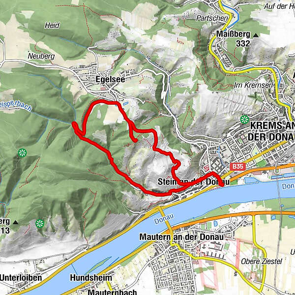
Kremser Rieden- und Wanderkarte - Wanderung 1: Reisperbachtalweg

Senderismo


Datos del tour
8,64km
206
- 441m
236hm
241hm
02:05h
- Breve descripción
-
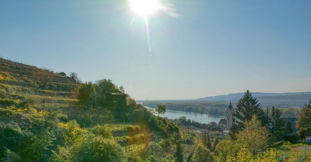
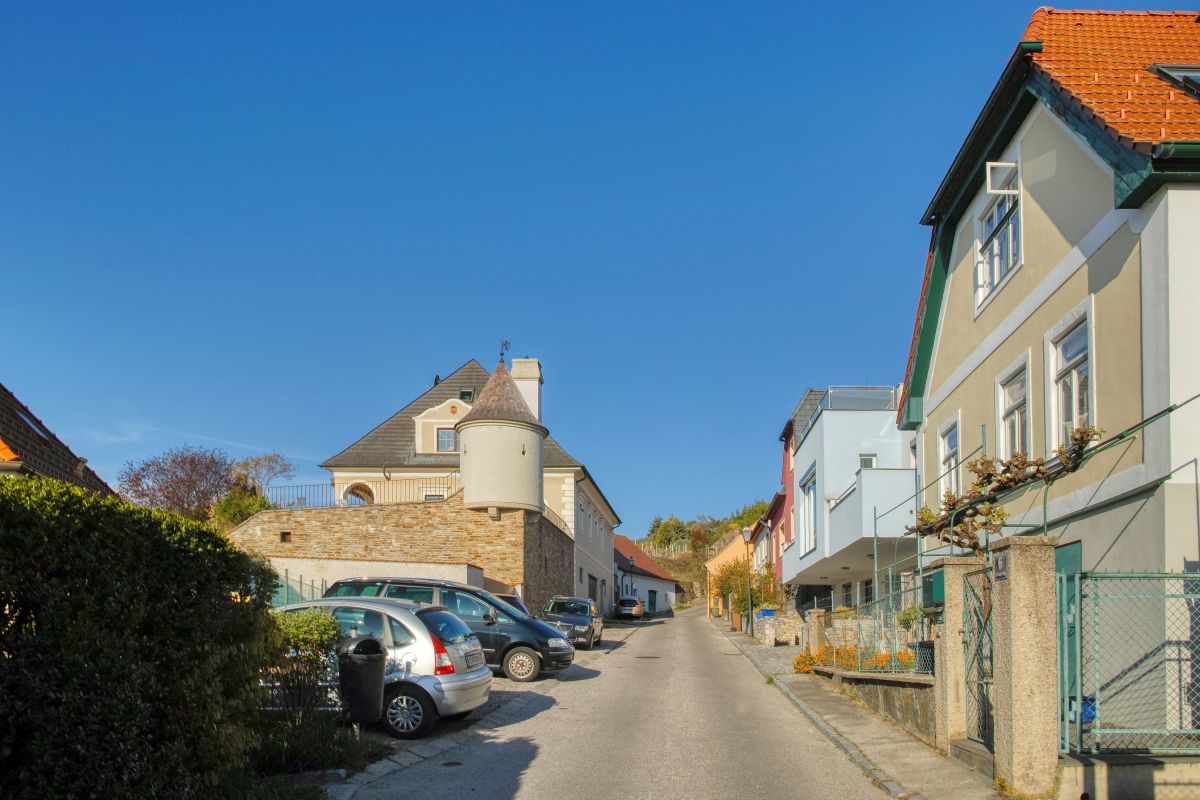
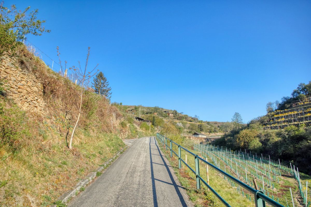
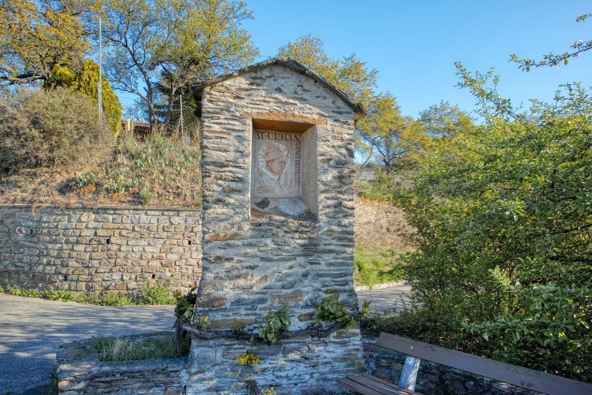
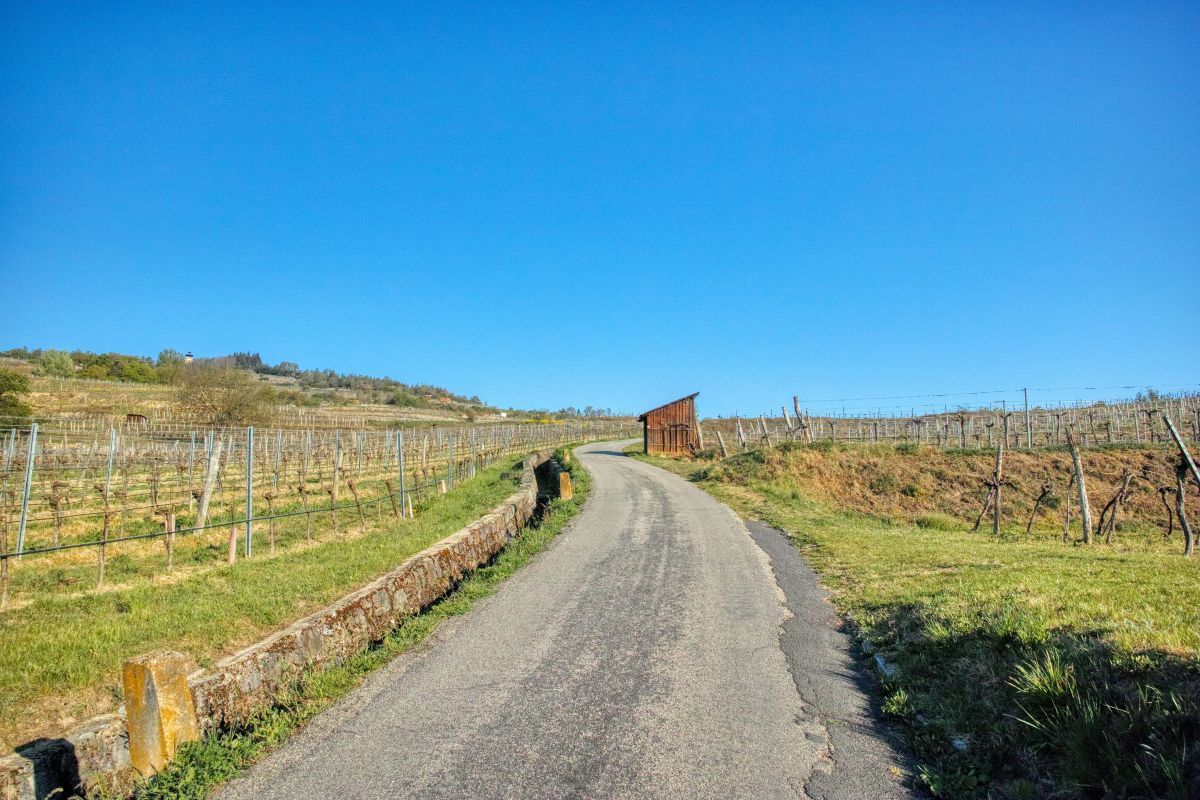
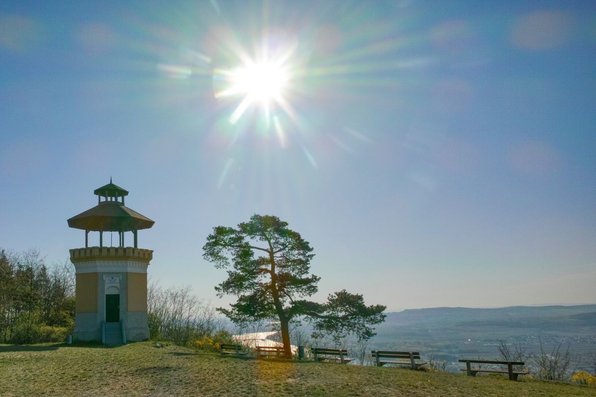
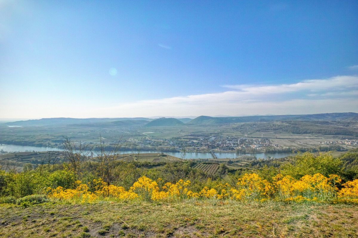
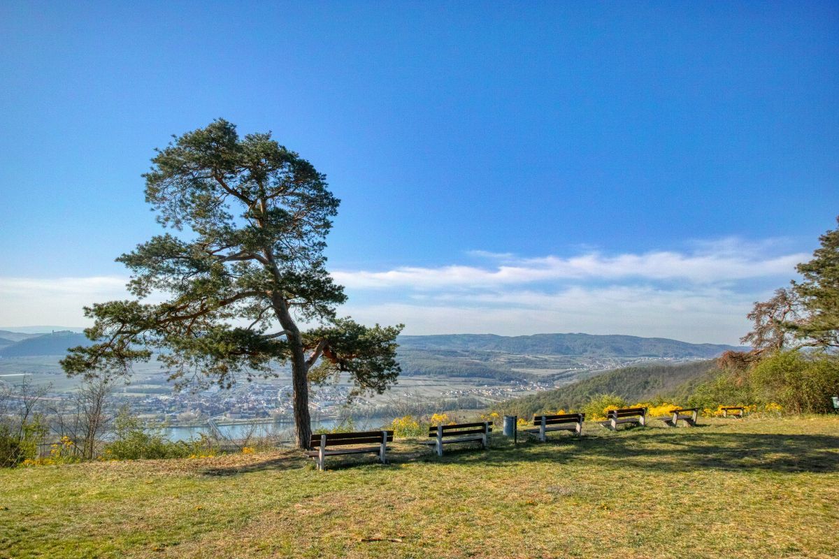
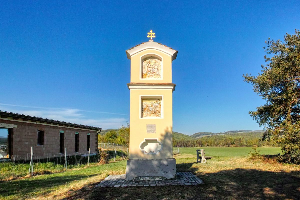
Eine Rundwanderung vom Schifffahrts- und Welterbezentrum über die Donauwarte und das Reisperbachtal.
- Dificultad
-
medio
- Valoración
-
- Punto de salida
-
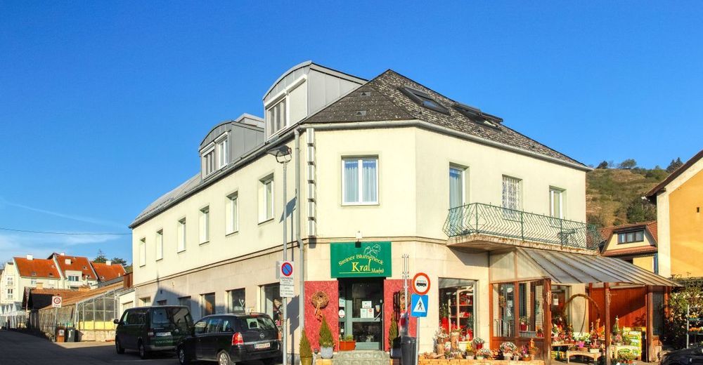
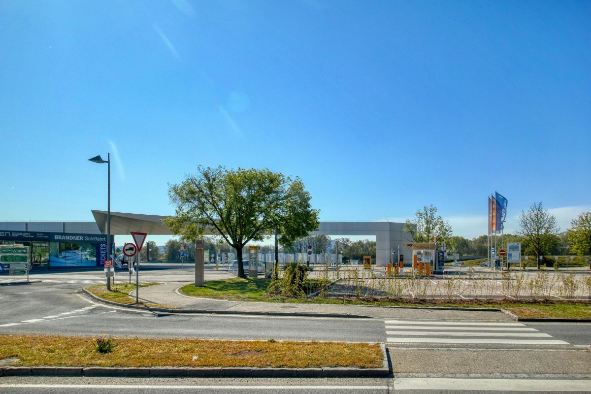
Schifffahrts- und Welterbezentrum Krems
- Ruta
-
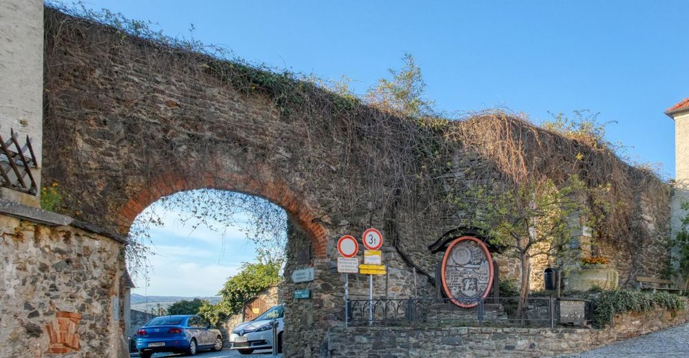
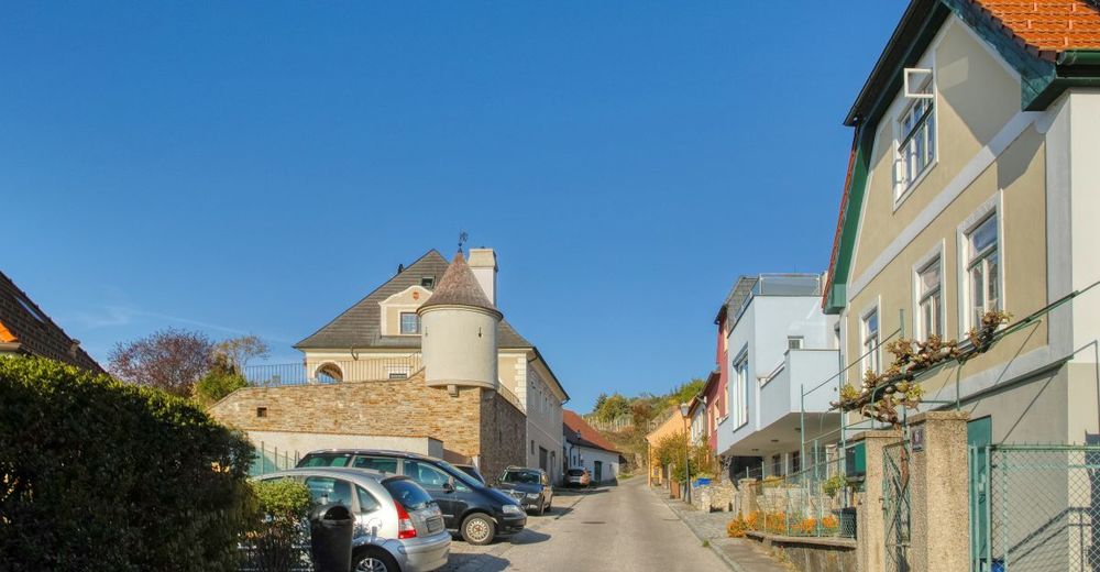
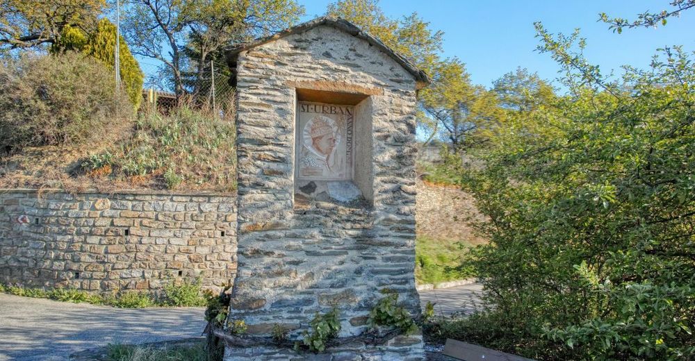
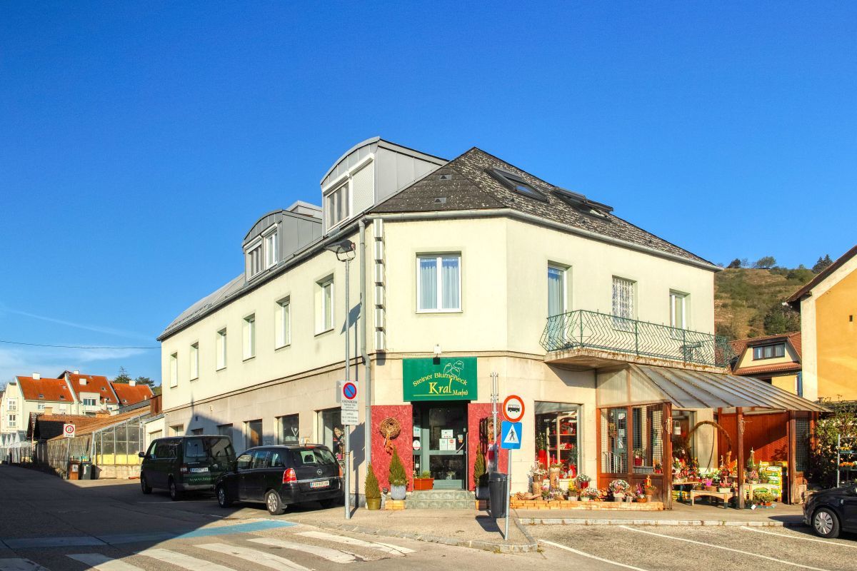
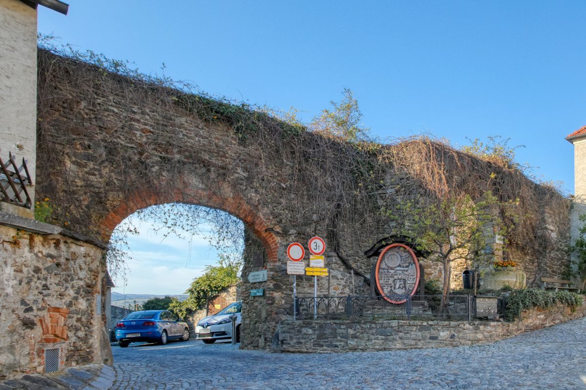
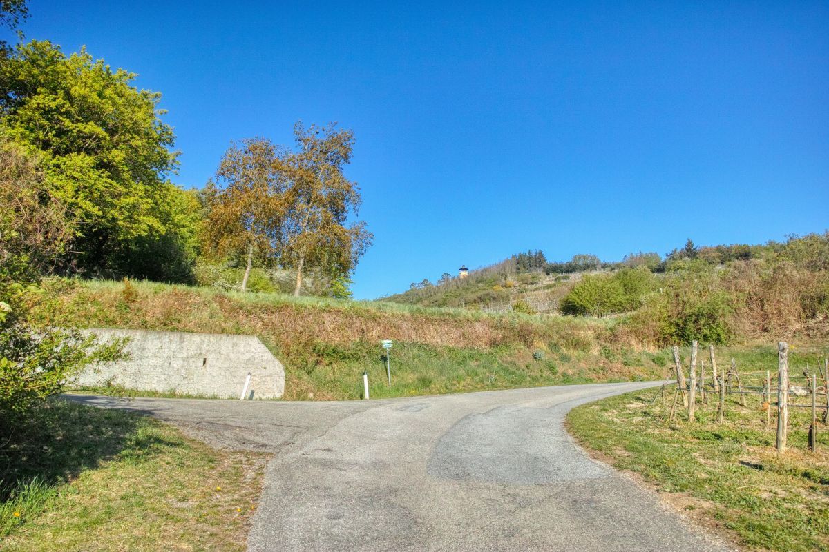
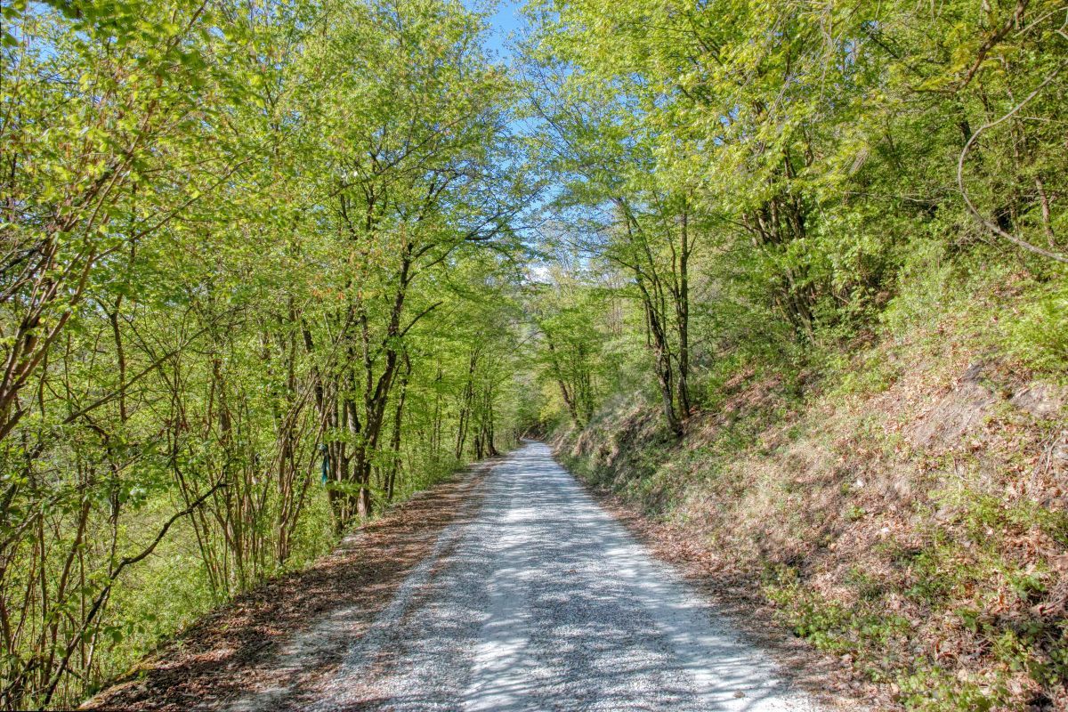
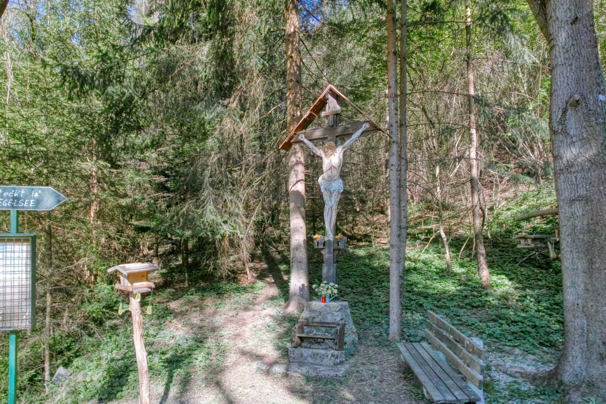
Krems an der Donau0,2 kmRebentor0,6 kmStein an der Donau0,6 kmBraunsdorfer Berg (450 m)3,1 kmDonauwarte (450 m)3,1 kmEgelsee4,1 kmReisperbachtal6,5 kmehem. Luftschutzstollen7,3 kmRebentor7,8 kmStein an der Donau7,9 kmKrems an der Donau8,4 km
- La mejor temporada
-
enefebmarabrmayjunjulagosepoctnovdic
- Punto álgido
- 441 m
- Punto final
-
Schifffahrts- und Welterbezentrum Krems


- Fuente
- Weinbergwandern.at
GPS Downloads


Superficie de carretera
Asfalto
Gravilla
Pradera
Bosque
Roca
Expuesto
Más circuitos por las regiones
-
Donau Niederösterreich
2289
-
Kamptal - Manhartsberg
1158
-
Stein an der Donau
696


