© Mostviertel - Christian Gölß

© Mostviertel - Franz Weingartner


- Breve descripción
-
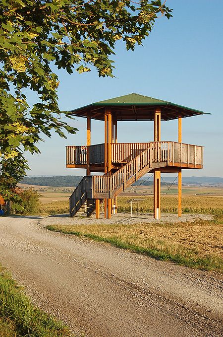
Der Rundwanderweg führt durch fast alle Katastralen der Gemeinde Kapelln und wird auch als permanenter Wanderweg in der IVV-Wertung geführt.
- Dificultad
-
fácil
- Valoración
-
- Ruta
-
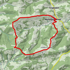
KapellnPfarrkirche Kapelln0,0 kmEtzersdorf2,4 kmMitterkilling6,3 kmUnterkilling6,4 kmKatzenberg8,0 kmHeuriger Ruthmair10,9 kmObermiesting11,1 kmThalheim13,0 kmPönning15,3 kmRapoltendorf16,1 kmRassing19,3 kmGasthaus Nährer19,5 kmKapelln21,3 kmGasthof Zöchbauer21,6 kmPfarrkirche Kapelln21,6 km
- La mejor temporada
-
enefebmarabrmayjunjulagosepoctnovdic
- Punto álgido
- 276 m
- Punto final
-
Kirchenplatz
- Perfil alto
-


- Autor
-
La gira Rundwanderweg Kapelln es utilizado por outdooractive.com proporcionado.
GPS Downloads


Información general
Vistas panorámicas
Más circuitos por las regiones
-
Donau Niederösterreich
2289
-
Traisental - Donauland
1197
-
Kapelln
191