
Datos del tour
15,49km
413
- 819m
611hm
609hm
04:30h

- Breve descripción
-
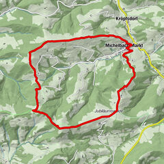
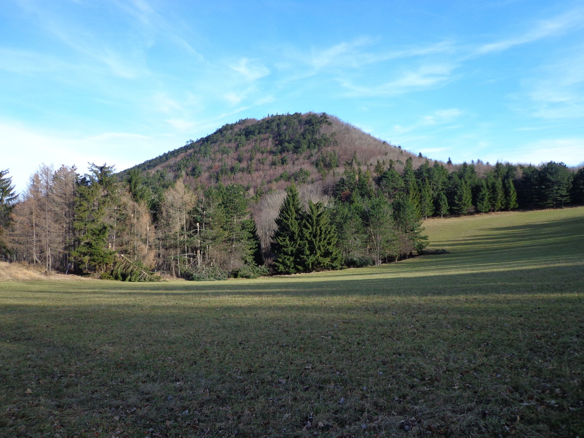
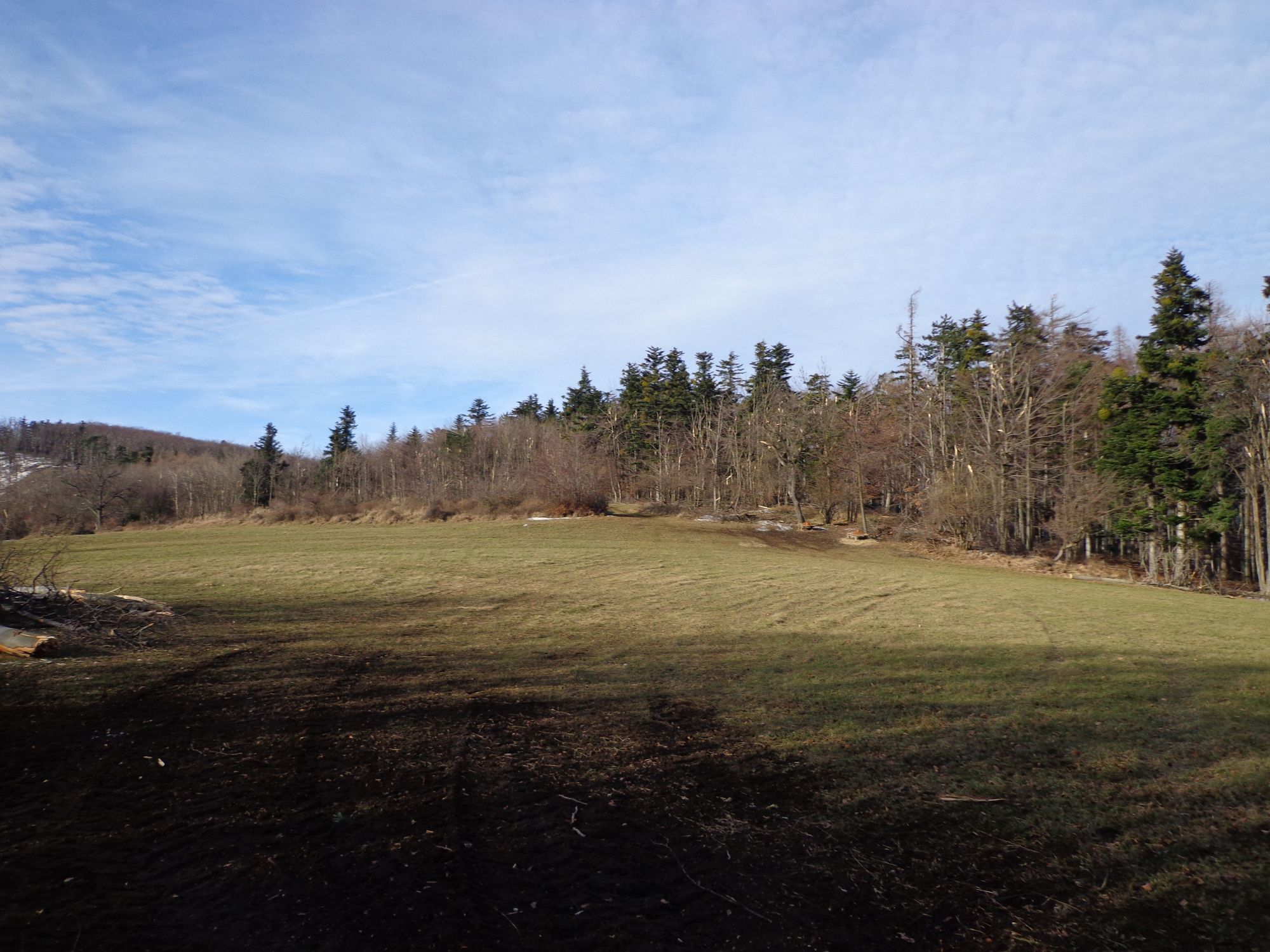
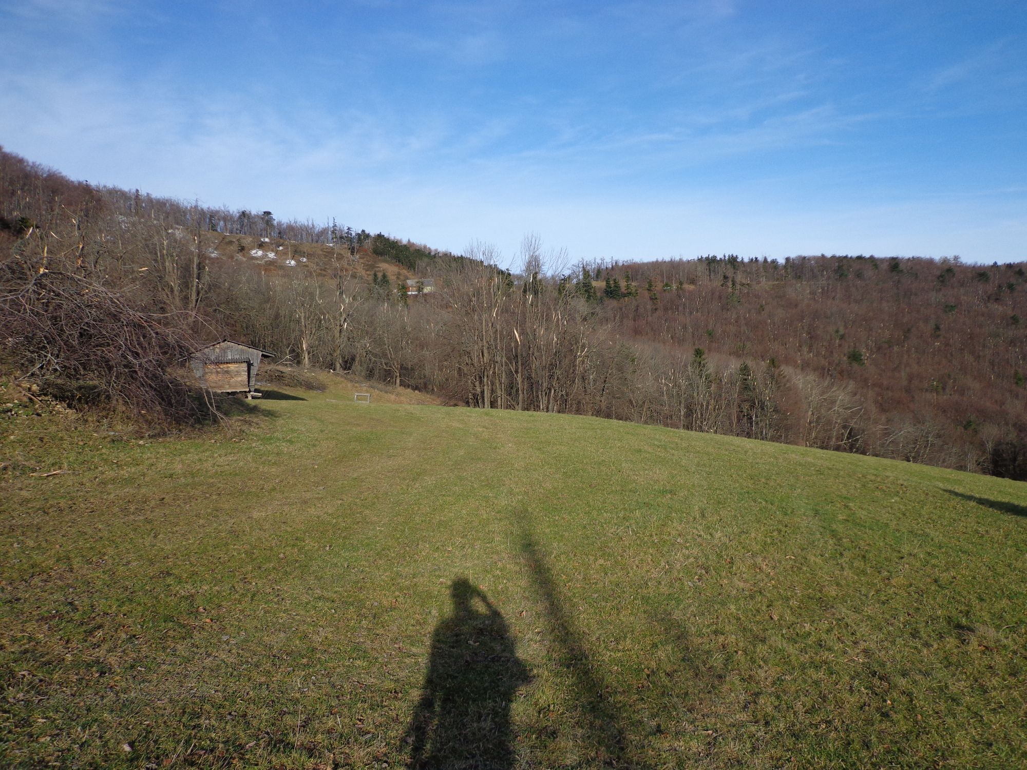
Von Schromenau/Furth über das Dürnthal -Sieberlgraben-Rotes Kreuz - Jagasitz-Steinwandklamm -Pogran(steht angeschrieben) retour zum Ausgangspunkt
- Dificultad
-
fácil
- Valoración
-
- Ruta
-
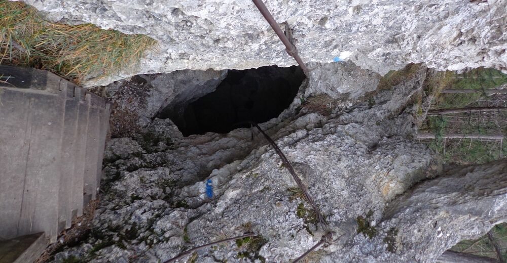
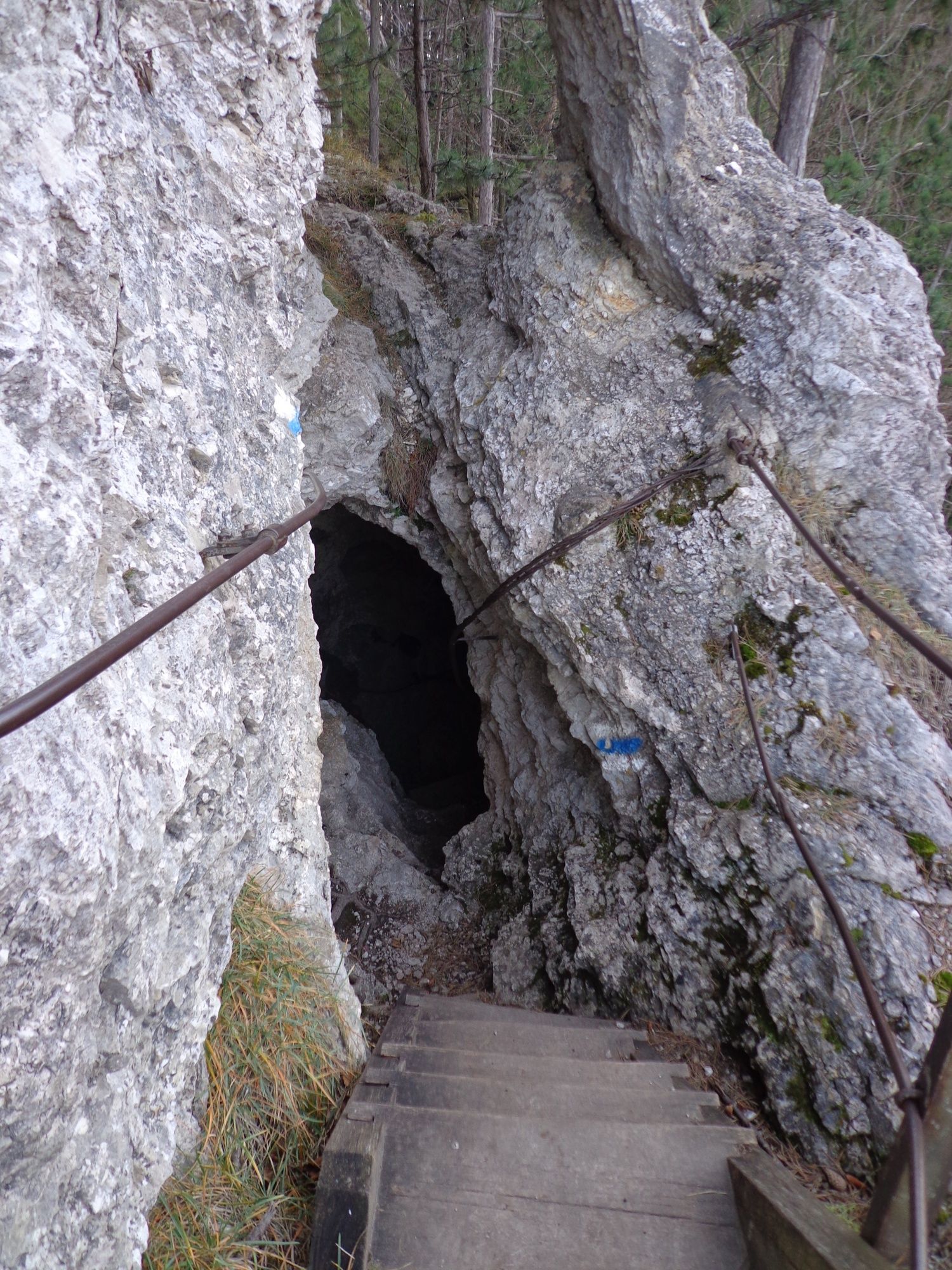
SchromenauGasthaus Jagasitz7,9 kmTürkenloch8,6 kmPecherhöhle8,6 kmWildschützenhöhle9,0 kmWildschützenloch9,1 kmReischer Jausenstation9,8 kmGasthof "Zum Auerhahn"13,9 kmAuerhahn-Halbhöhle13,9 kmSteinwandgraben-Westhanghöhle14,1 kmWohnkammerl14,1 kmGrabenweger Kapelle14,3 kmSchromenau15,4 km
- La mejor temporada
-
enefebmarabrmayjunjulagosepoctnovdic
- Punto álgido
- 819 m


GPS Downloads


Superficie de carretera
Asfalto
Gravilla
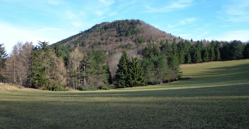
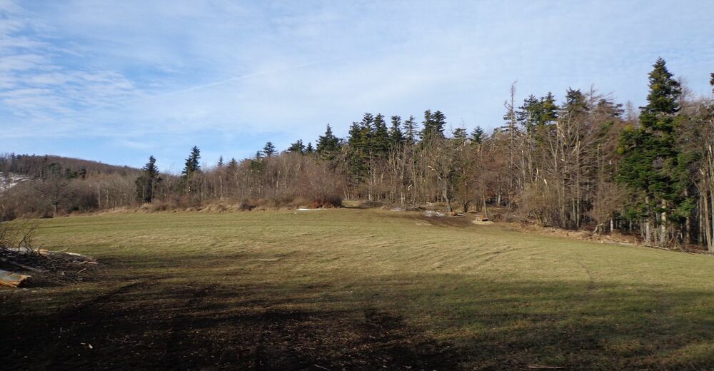
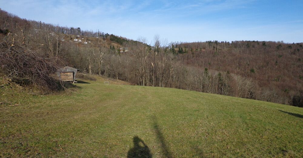
Pradera
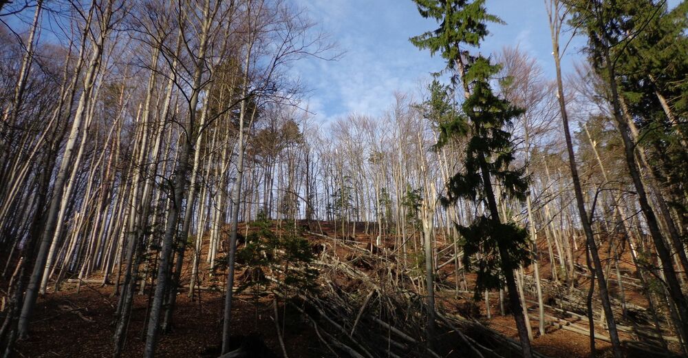
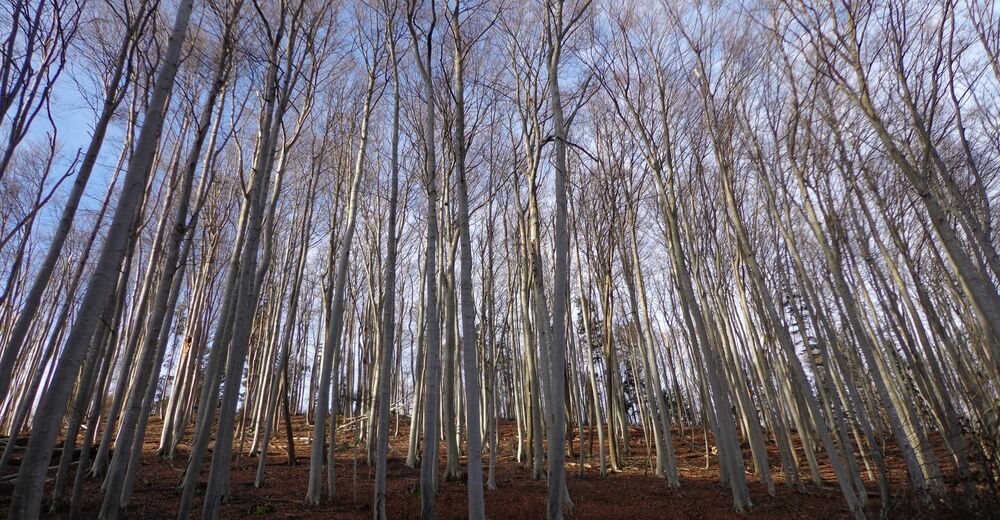
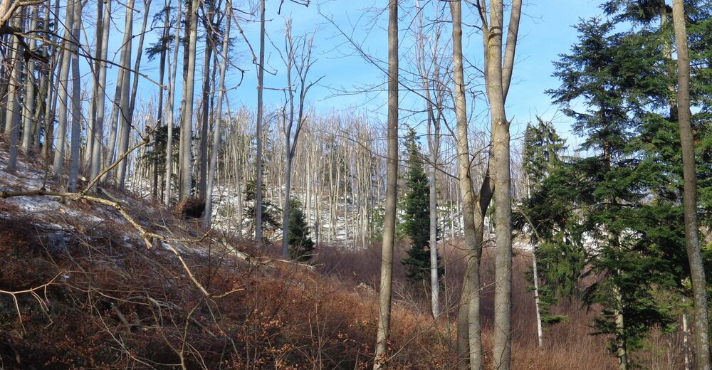
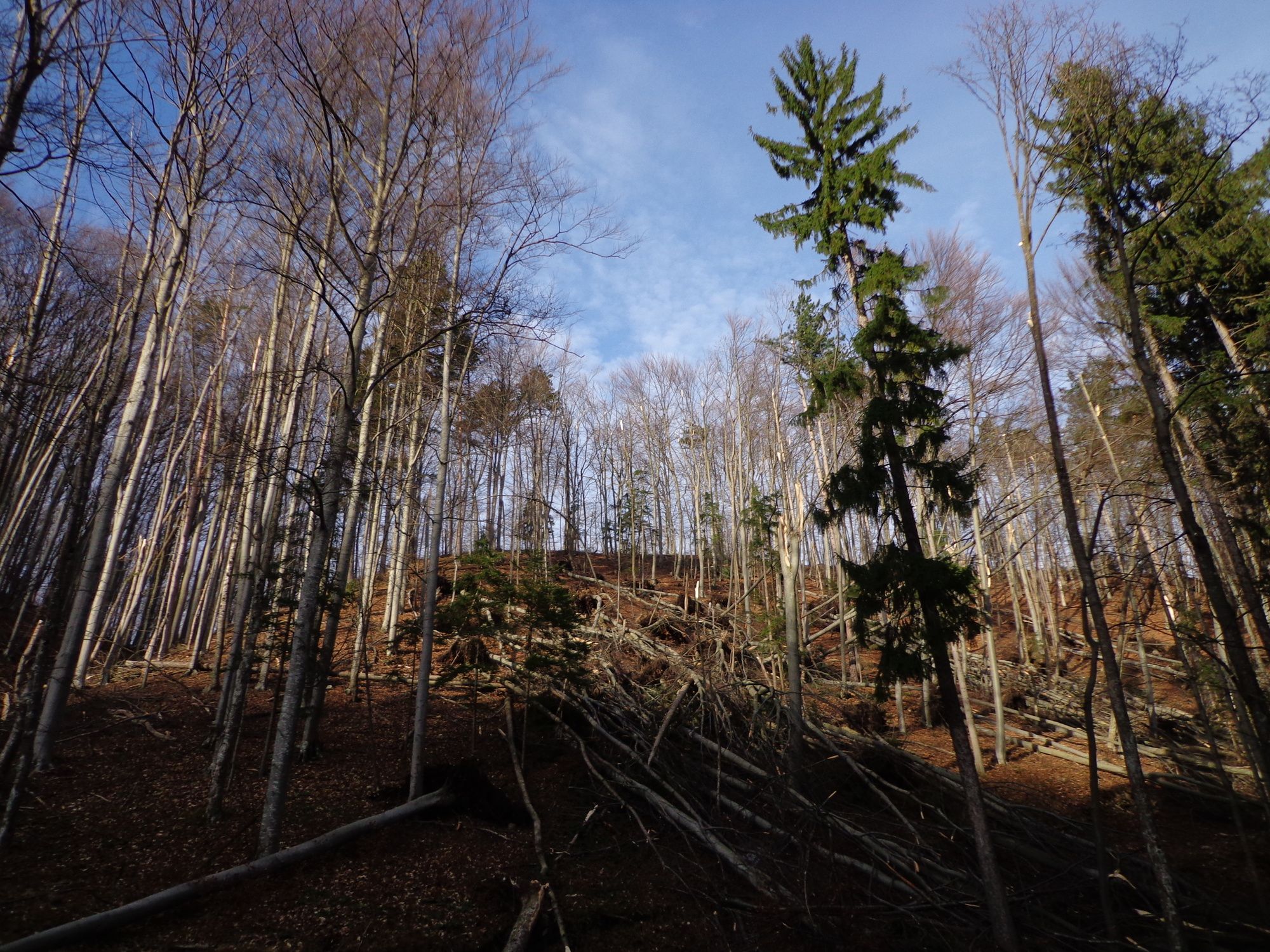
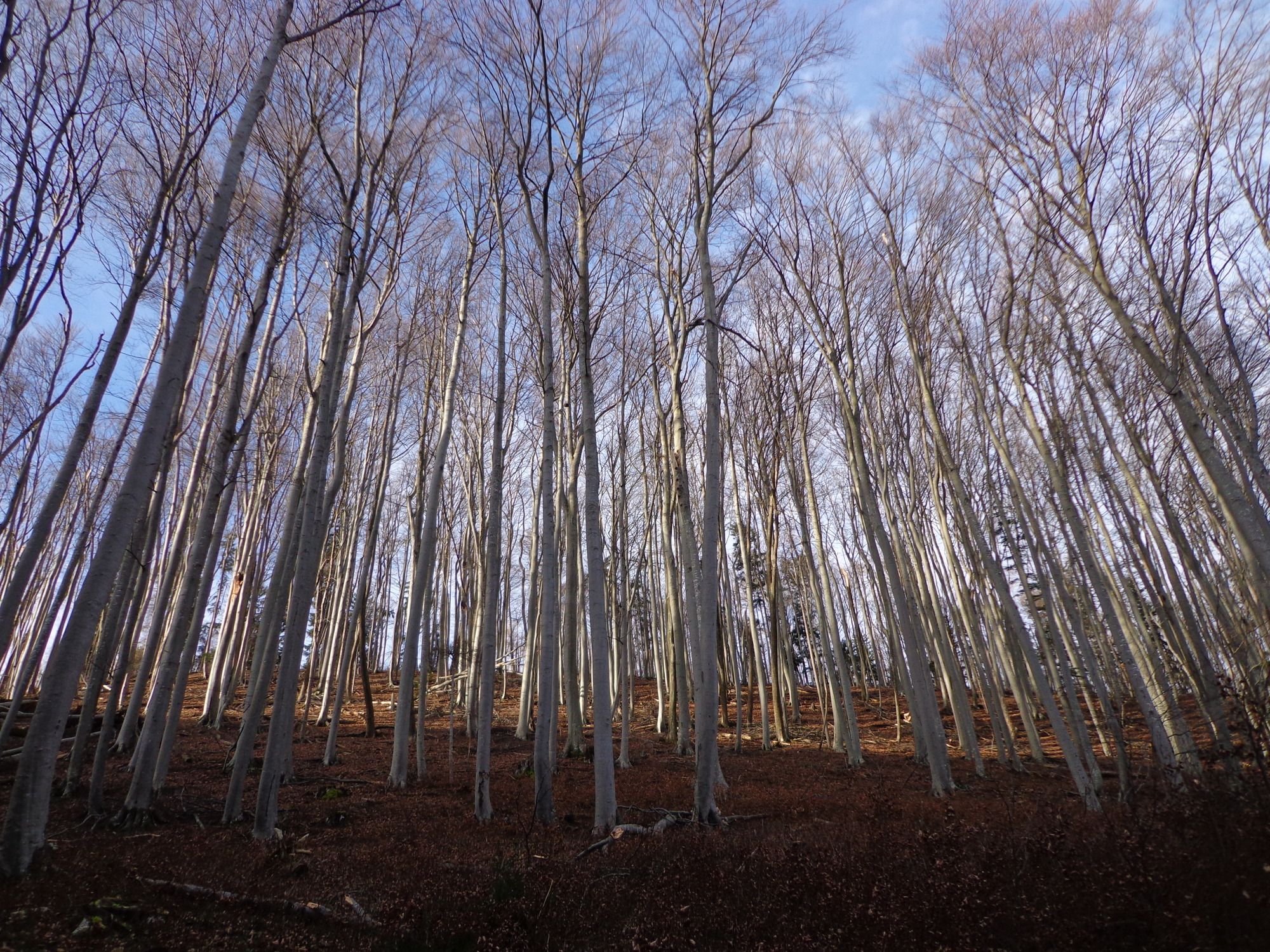
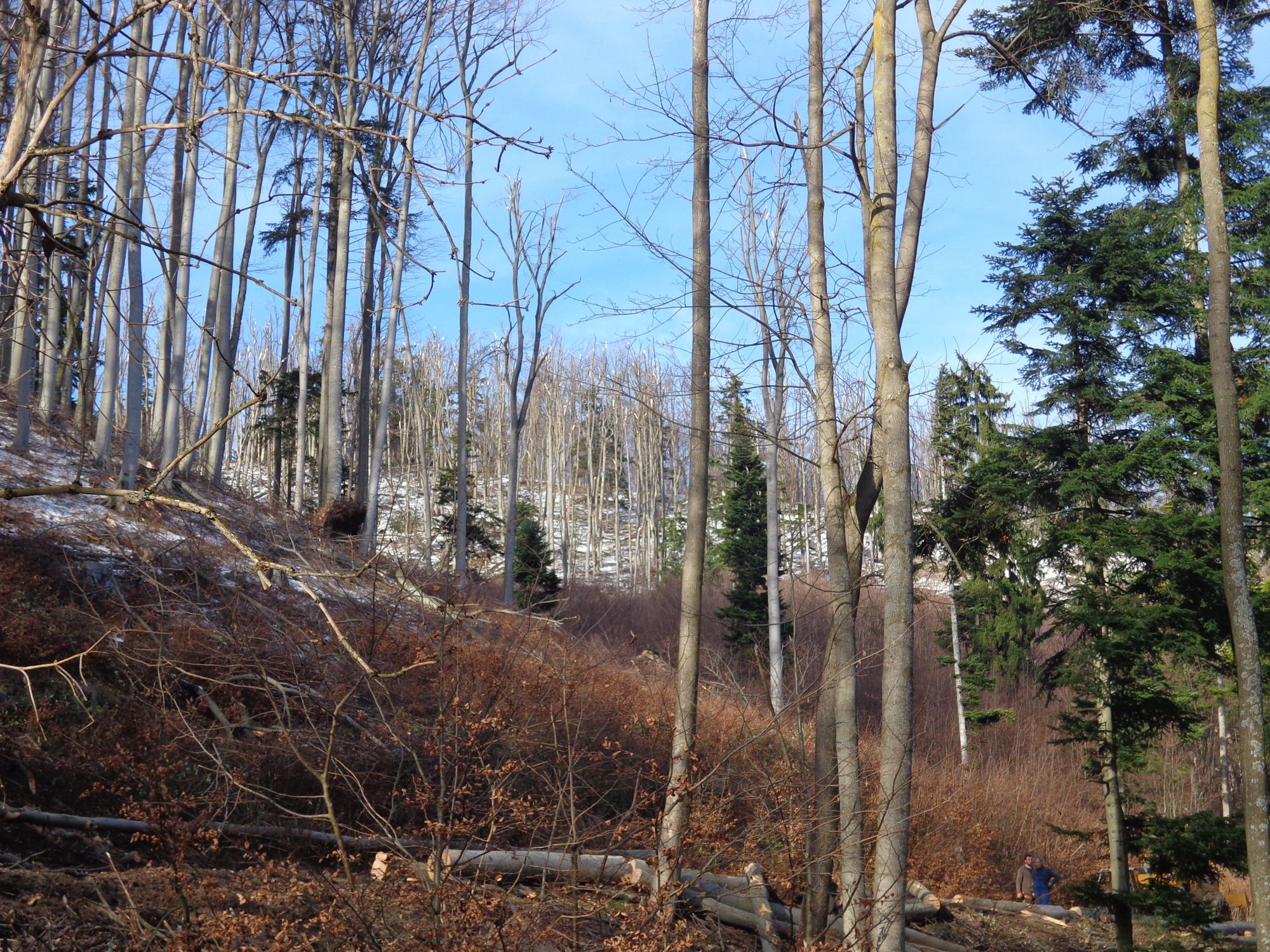
Bosque
Roca
Expuesto
Más circuitos por las regiones
-
Wienerwald
4226
-
Schneebergland - Wiener Alpen
2460
-
Furth an der Triesting
543