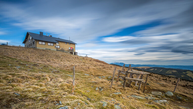
© Wiener Alpen in Niederösterreich - Wechsel - Wiener Alpen / Kremsl
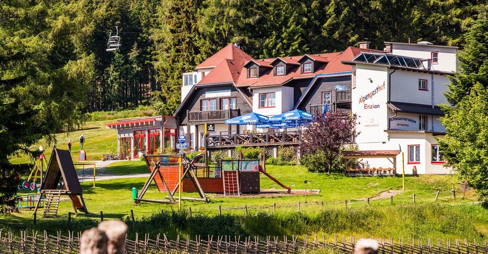
© Alpengasthof Enzian, Franz Zwickl - Michaela Dorfstätter

- Breve descripción
-
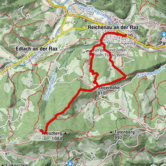
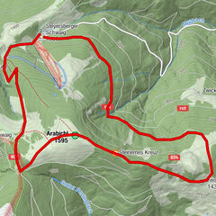
Die Tour für Gipfelstürmer! Auf der Hochwechsel-Tour wandert man von Mönichkirchen über Hütten, Schwaigen und durch besondere Landschaften auf 1732 Höhenmeter.
- Dificultad
-
difícil
- Valoración
-
- Ruta
-
MönichkirchenVorauer Schwaig6,7 kmWetterkoglerhaus11,0 kmHochwechsel (1.743 m)11,0 kmNiederwechsel (1.669 m)14,3 kmSteinerne Stiege (1.505 m)16,6 kmStoa Alm17,3 kmHallerhaus17,9 kmBerggasthof Mönichkirchner Schwaig19,1 kmSchauquellfassung20,4 kmMönichkirchen21,3 km
- La mejor temporada
-
enefebmarabrmayjunjulagosepoctnovdic
- Punto álgido
- 1.733 m
- Punto final
-
Hochwechsel
- Perfil alto
-

- Autor
-
La gira Hochwechsel Tour es utilizado por outdooractive.com proporcionado.
GPS Downloads


Información general
Punto de avituallamiento
Vistas panorámicas
Más circuitos por las regiones
-
Wiener Alpen
3041
-
Wechselland - Wiener Alpen
1702
-
Aspangberg - St. Peter
434