© Thomas Putz
© Thomas Putz
© Thomas Putz
© Thomas Putz

© Thomas Putz
© Thomas Putz

Datos del tour
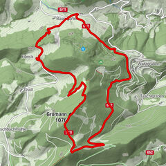
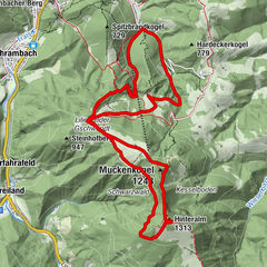
13,4km
319
- 712m
447hm
450hm
03:22h

- Dificultad
-
fácil
- Valoración
-
- Punto de salida
-
Parkplatz City-Box Wilhelmsburg
- Ruta
-
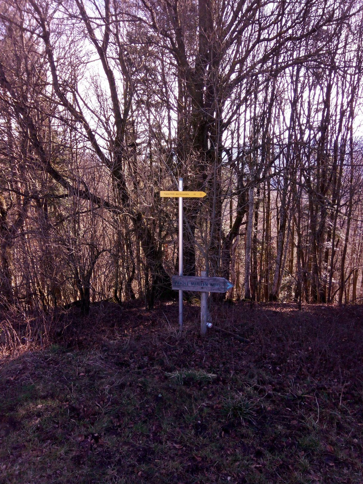
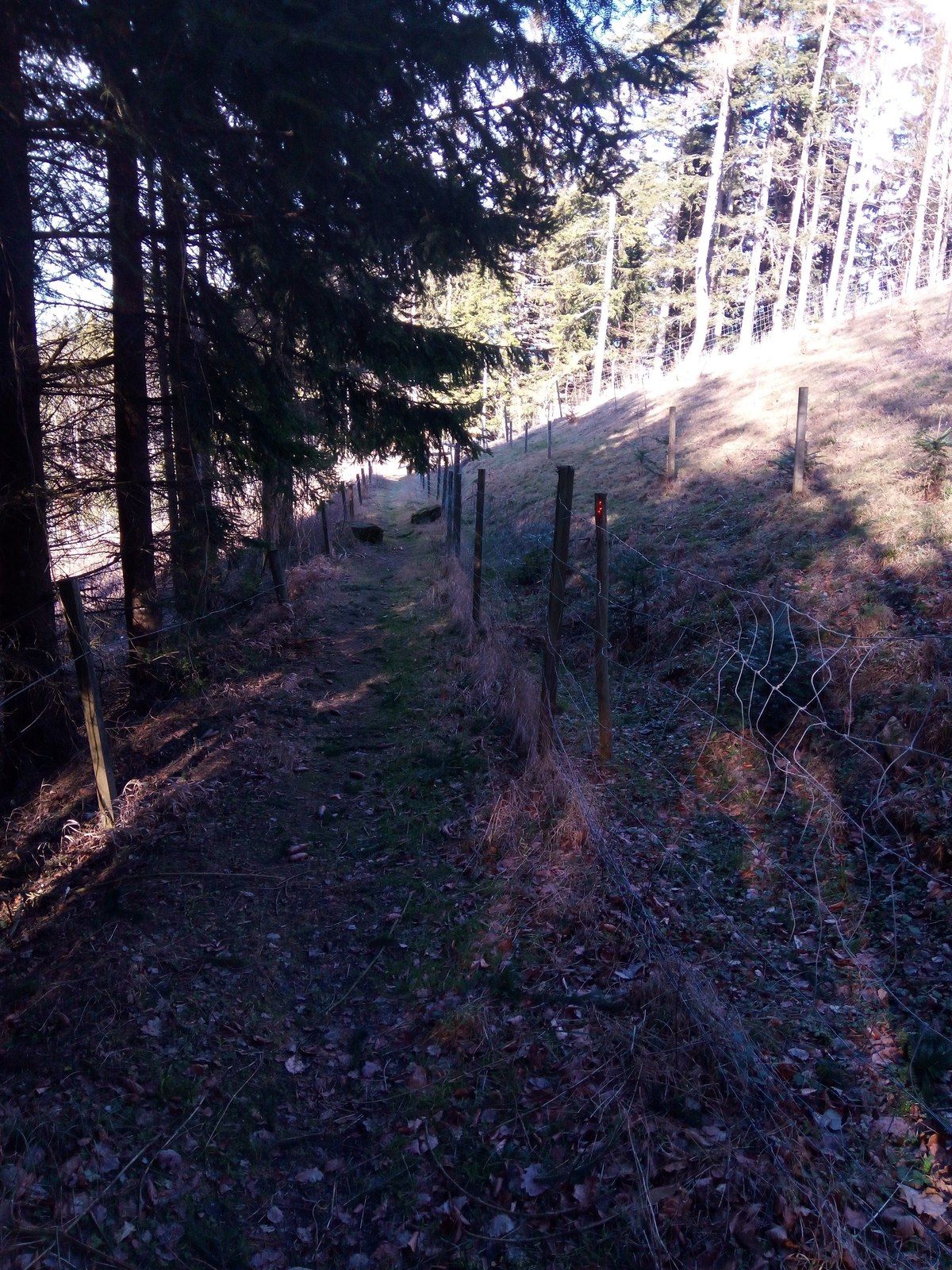
Via Sapore0,0 kmWilhelmsburg0,0 kmKreisbach0,1 kmAltenburg2,7 kmSteinwandleiten (734 m)8,0 kmHubertuskapelle12,3 kmKreisbach13,2 kmVia Sapore13,3 kmWilhelmsburg13,3 km
- La mejor temporada
-
enefebmarabrmayjunjulagosepoctnovdic
- Punto álgido
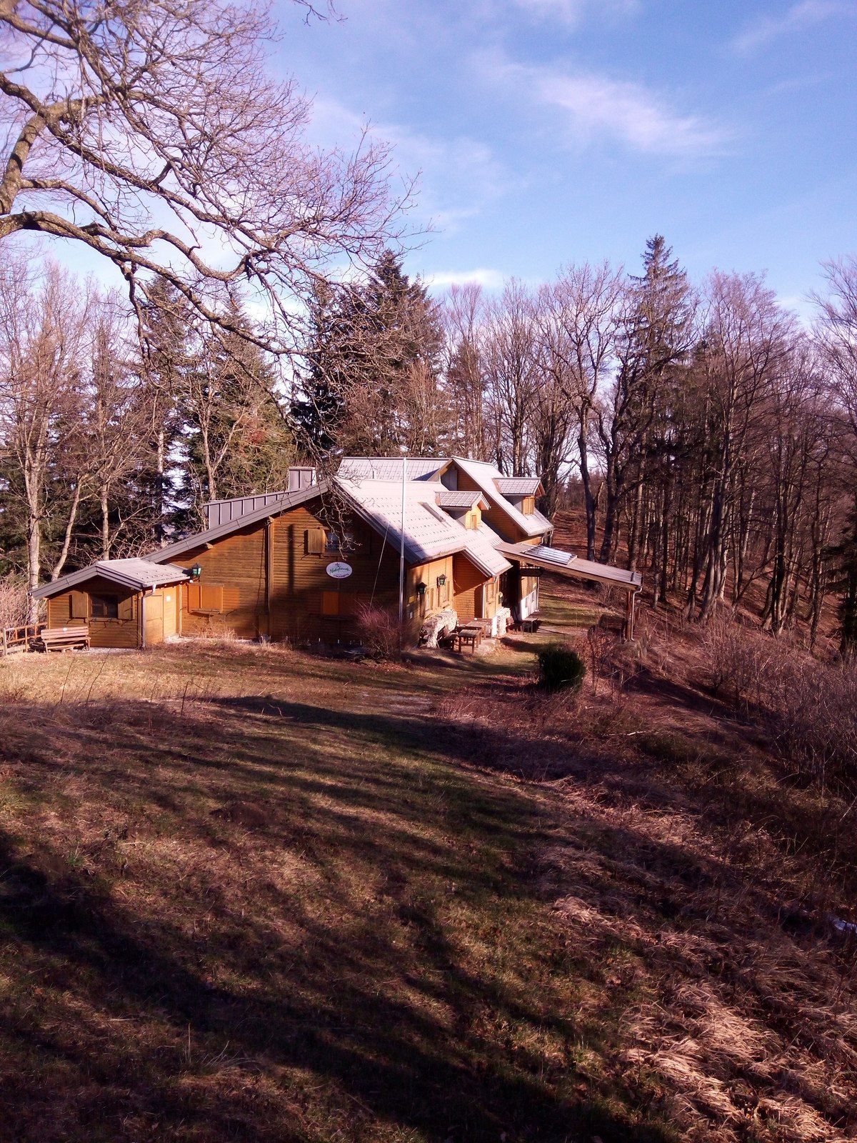
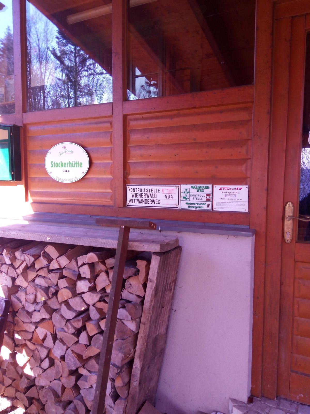
- Stockerhütte (712 m)
- Punto final
-
Gipfel bei der Stockerhütte
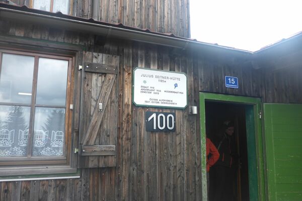
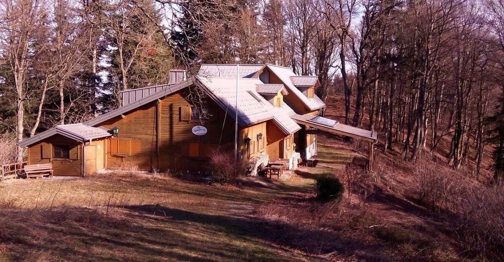
- Descanso/Avituallamiento
-
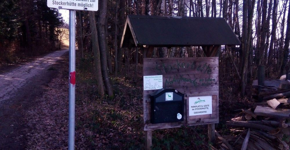
Florian´s Teichstüberl, Hager, (Stockerhütte)


GPS Downloads


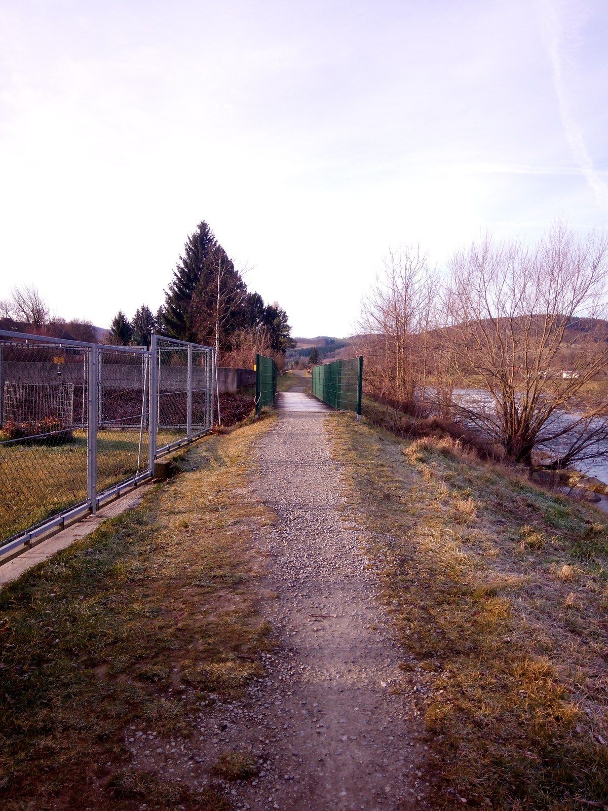
Superficie de carretera
Asfalto
Gravilla
Pradera
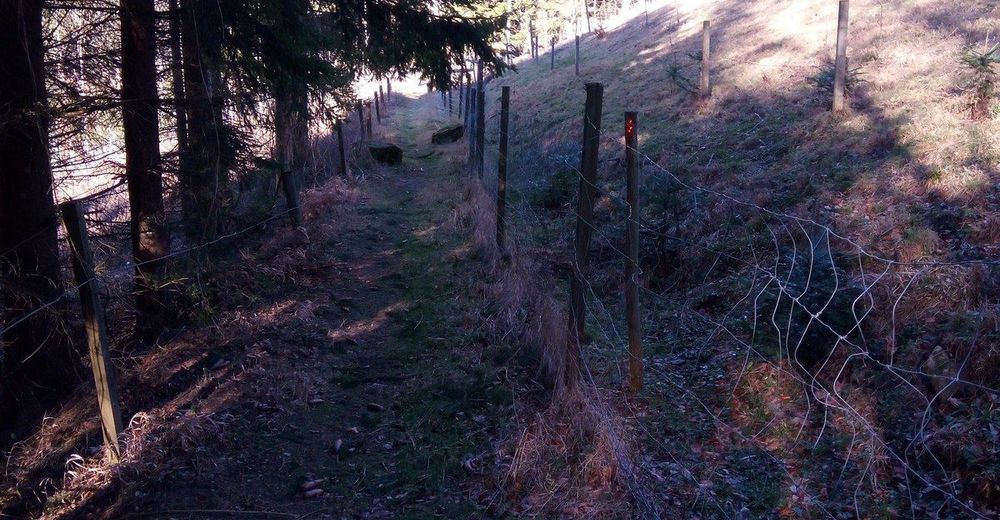
Bosque
Roca
Expuesto
Más circuitos por las regiones
-
Mostviertel
2470
-
Traisen-Gölsental
1332
-
Wilhelmsburg
222