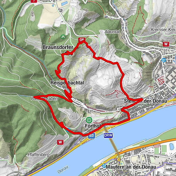
KREMS Stein Förthofgraben Braunsdorfer Donauwarte ret. 20191006

Senderismo

© hel
© hel
© hel
© hel
© hel
© hel

© hel
© hel

© hel

© hel
Datos del tour
6,1km
197
- 450m
370hm
370hm
01:45h
- Breve descripción
-
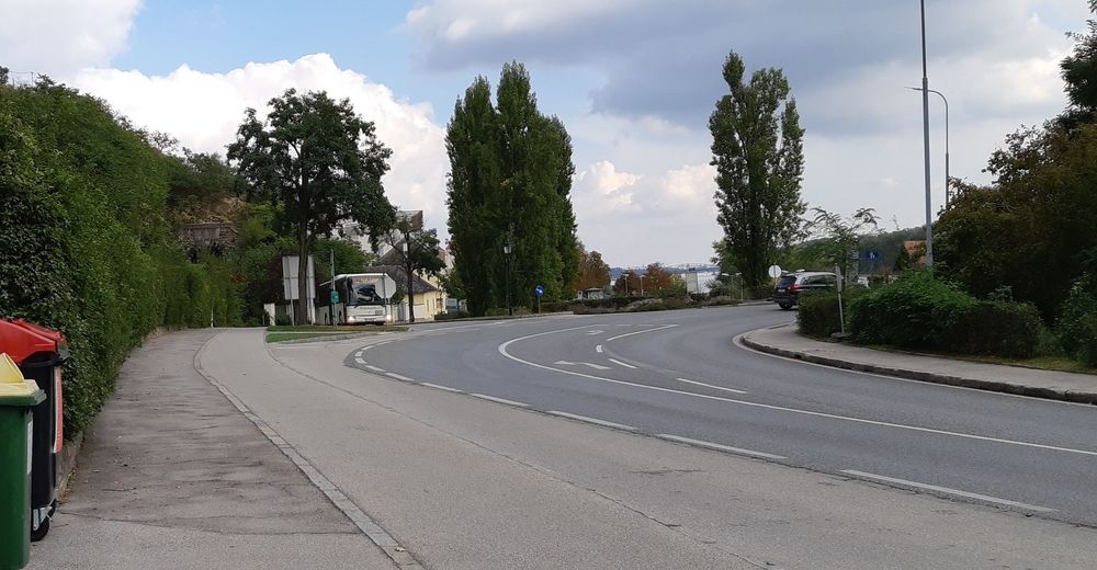
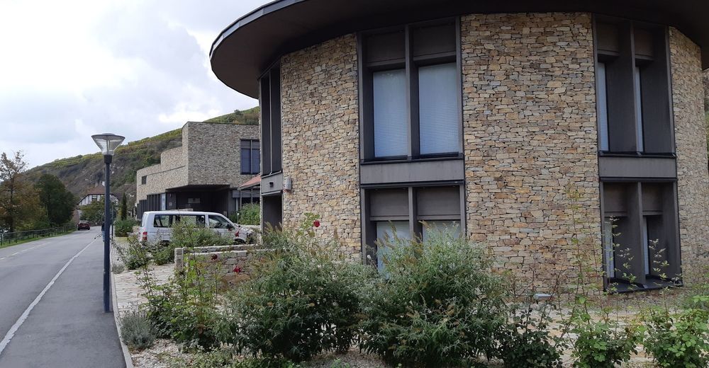
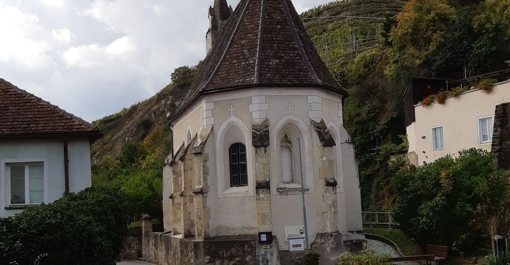
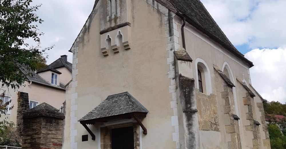
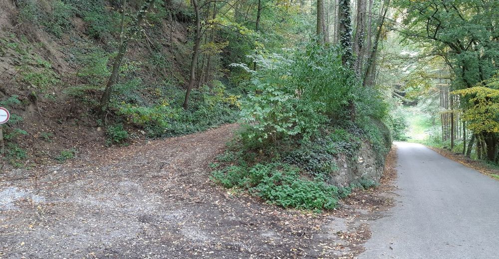
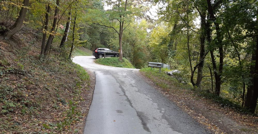
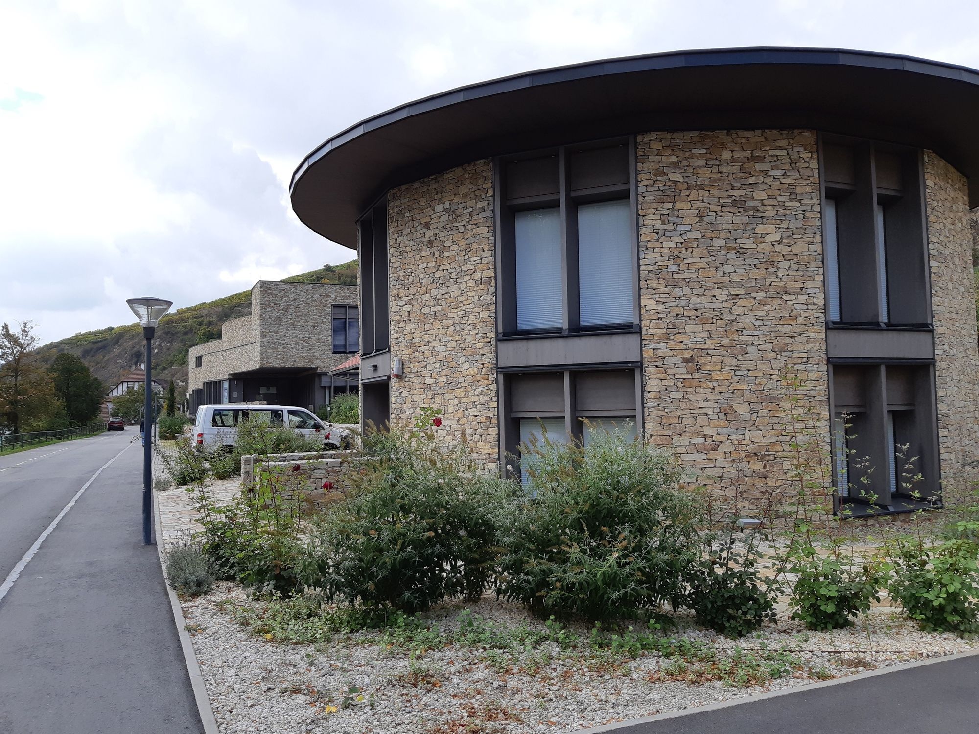
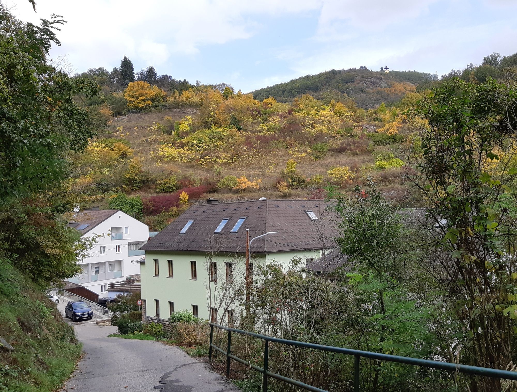
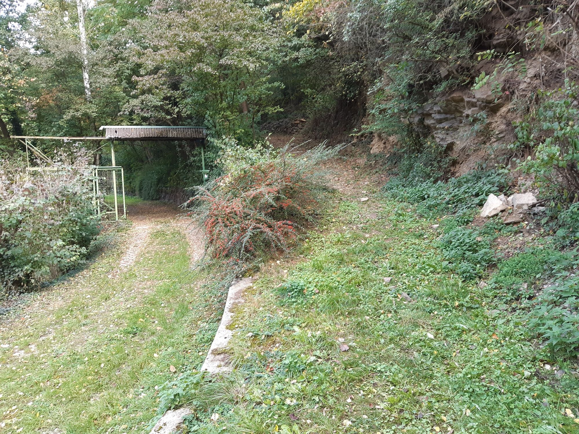
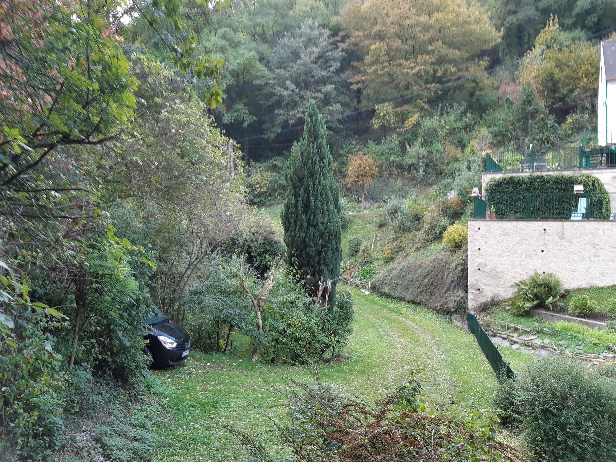
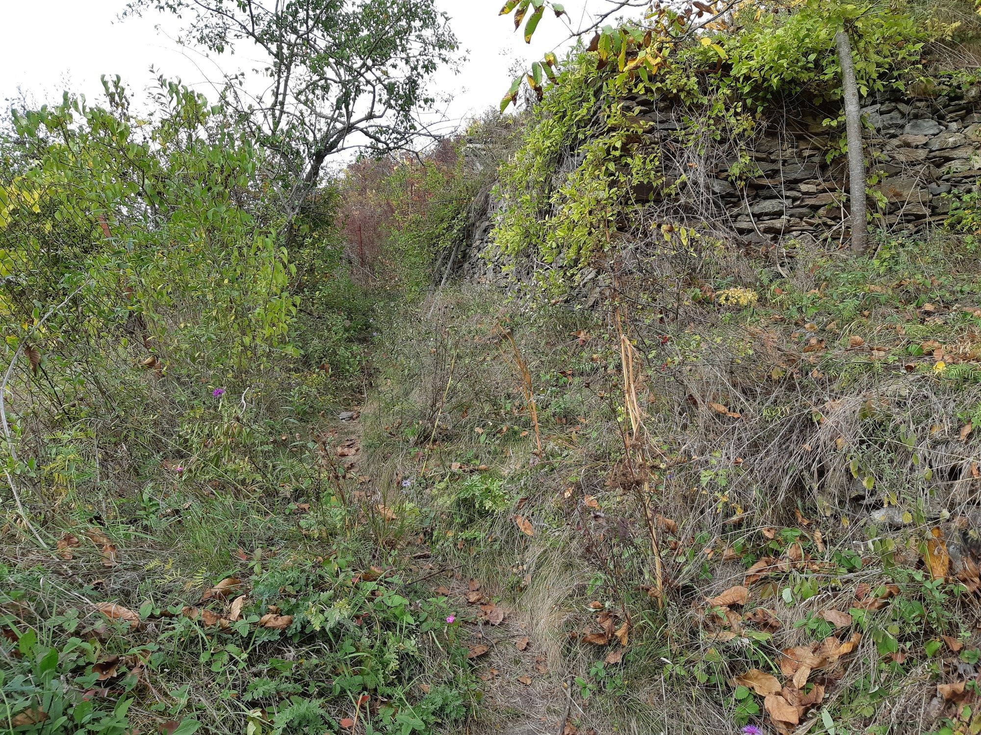
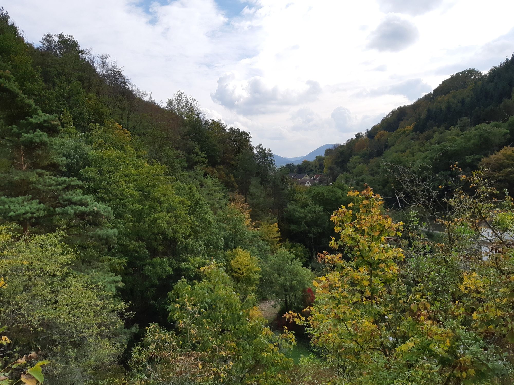
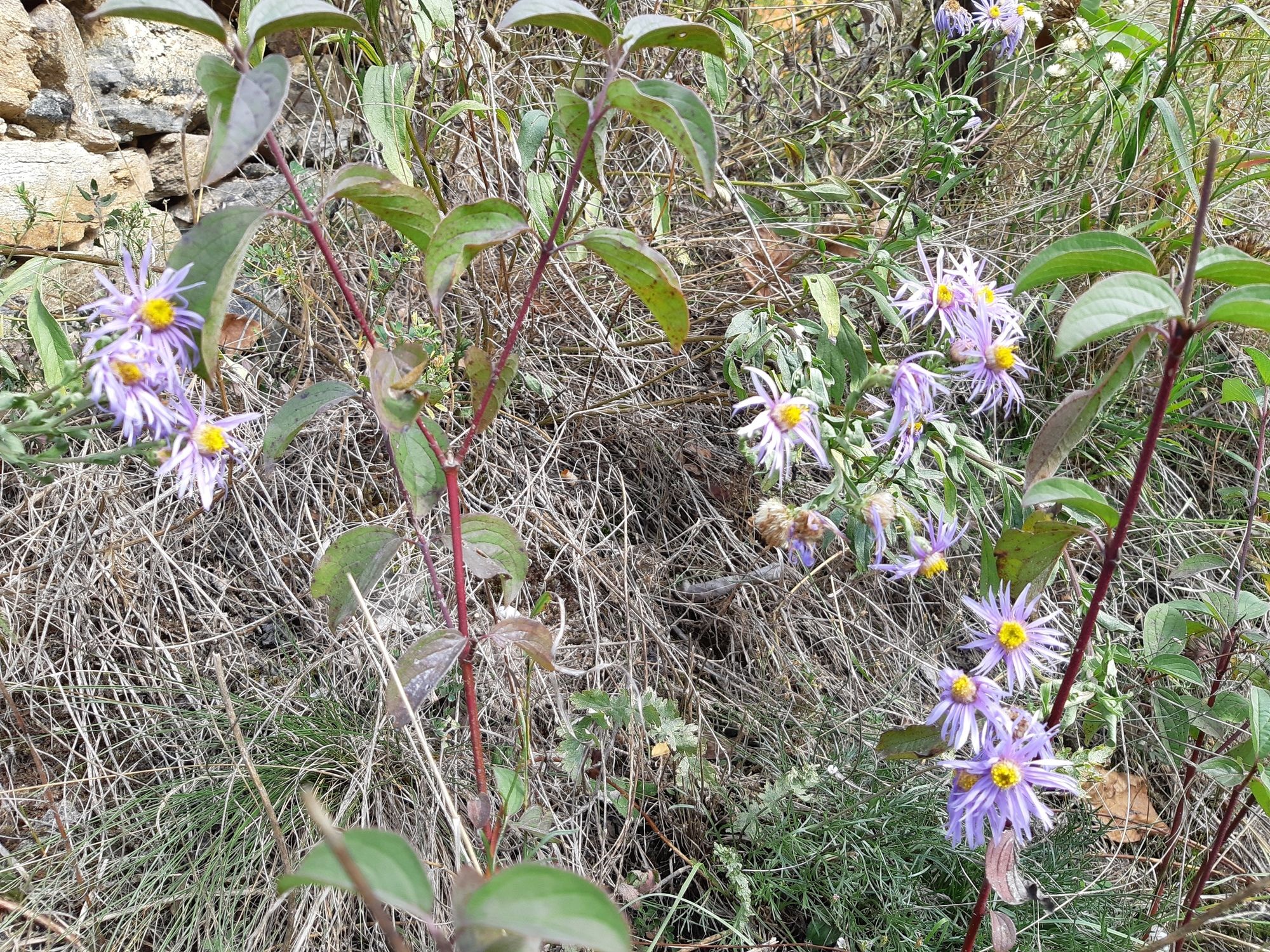
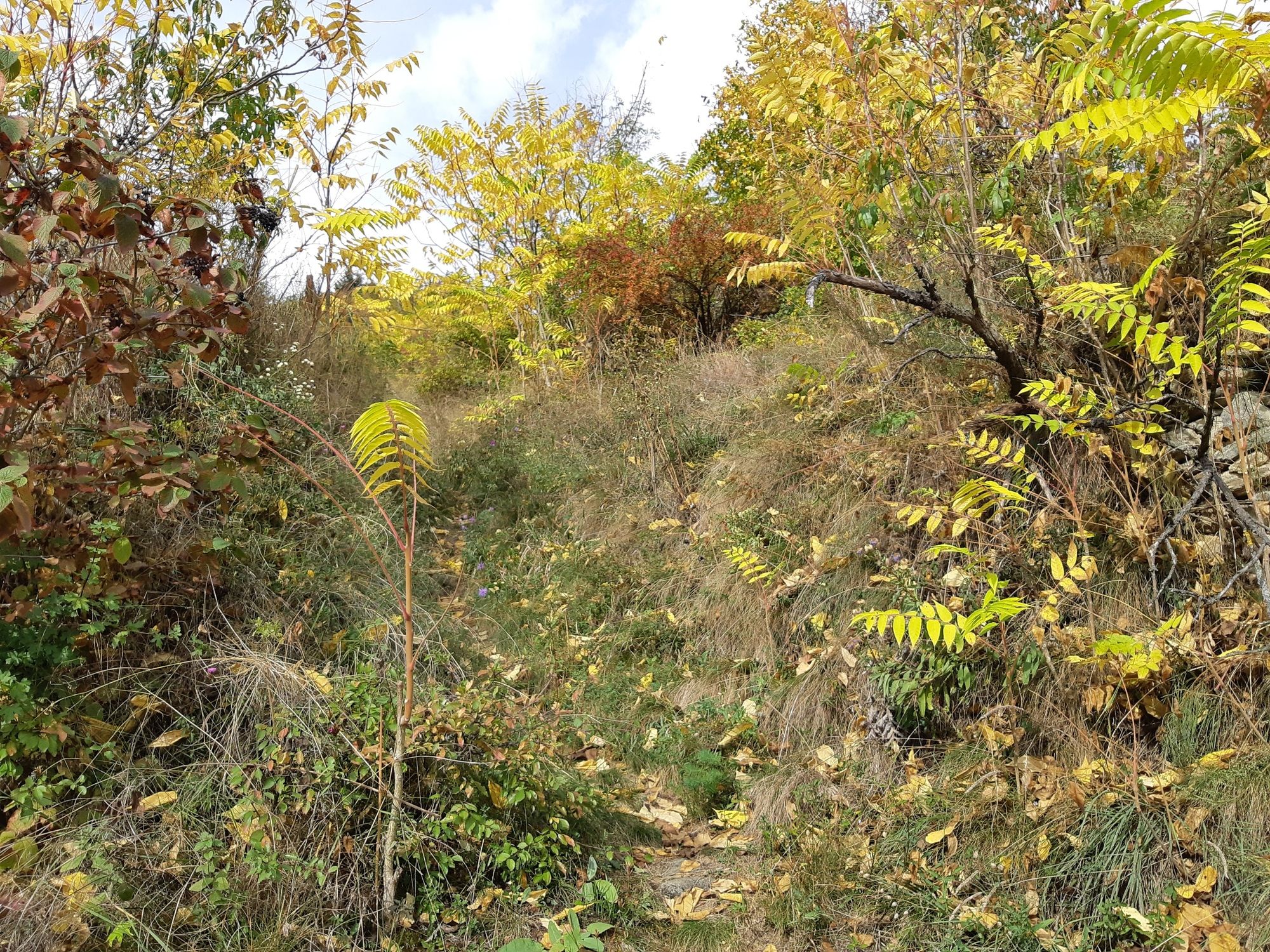
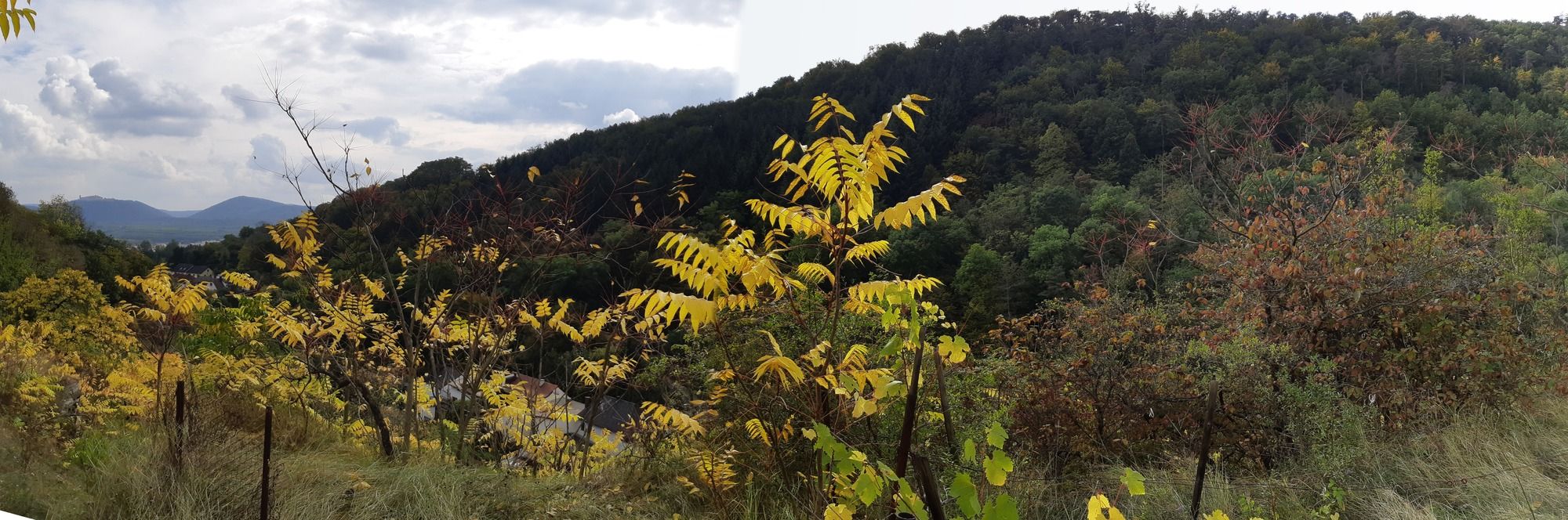
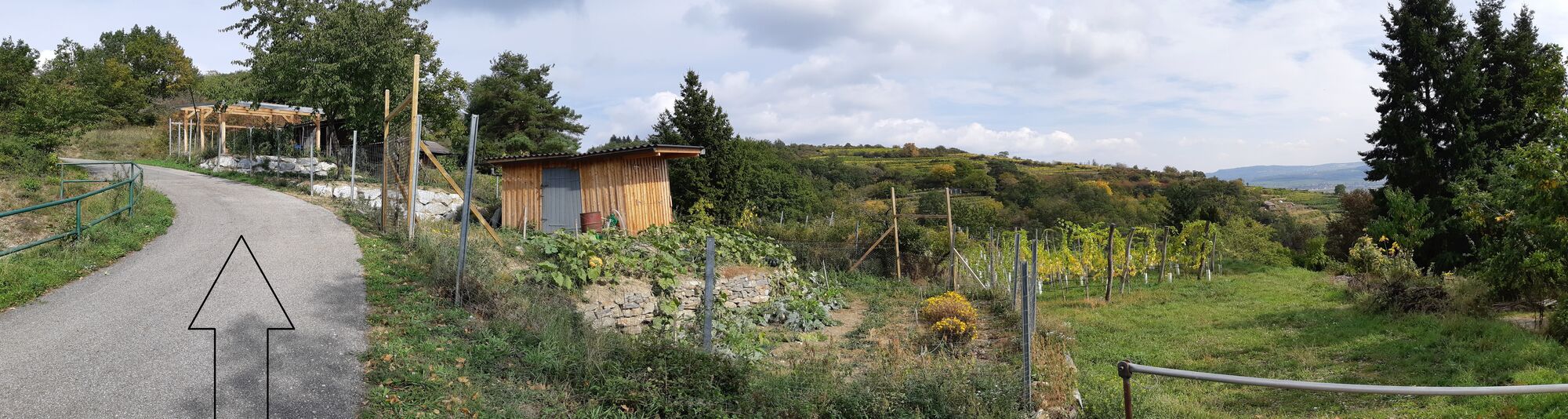
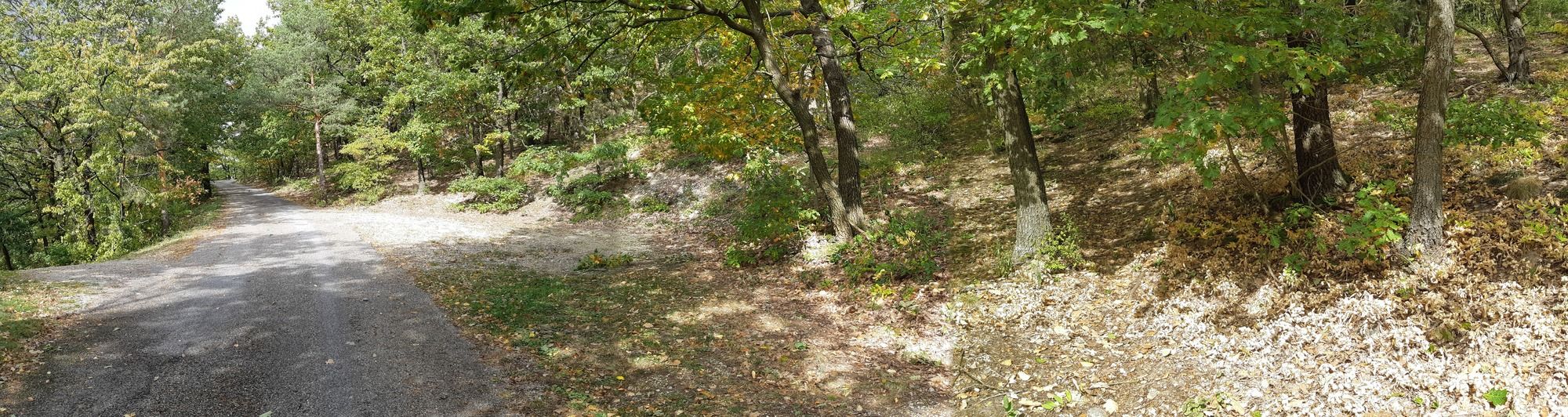
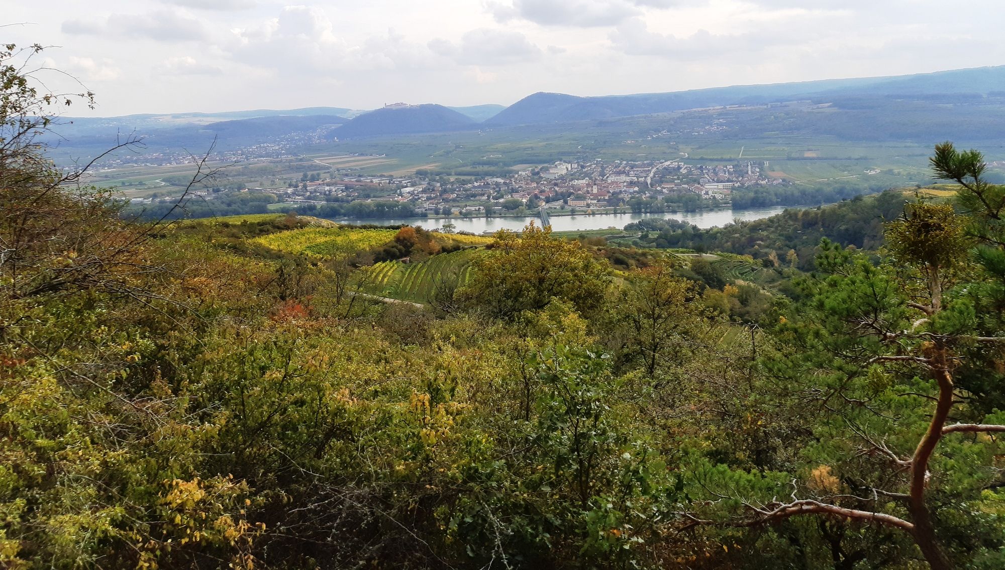
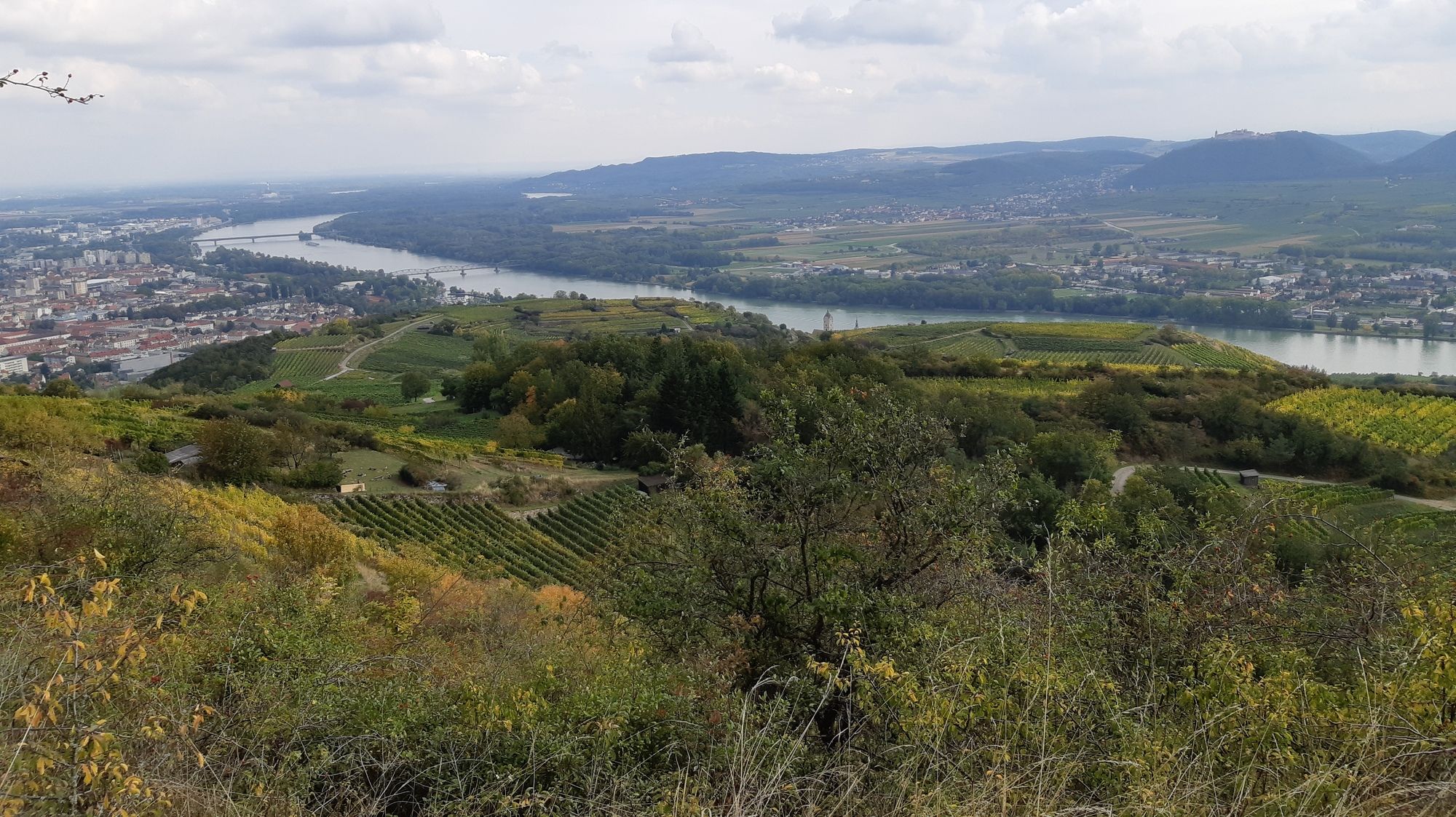
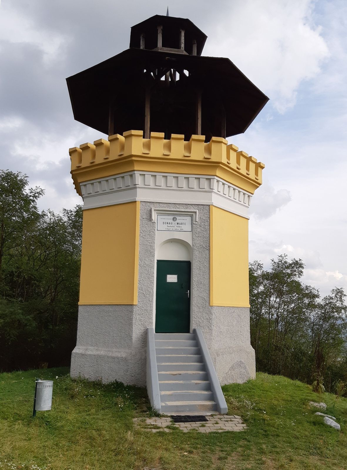
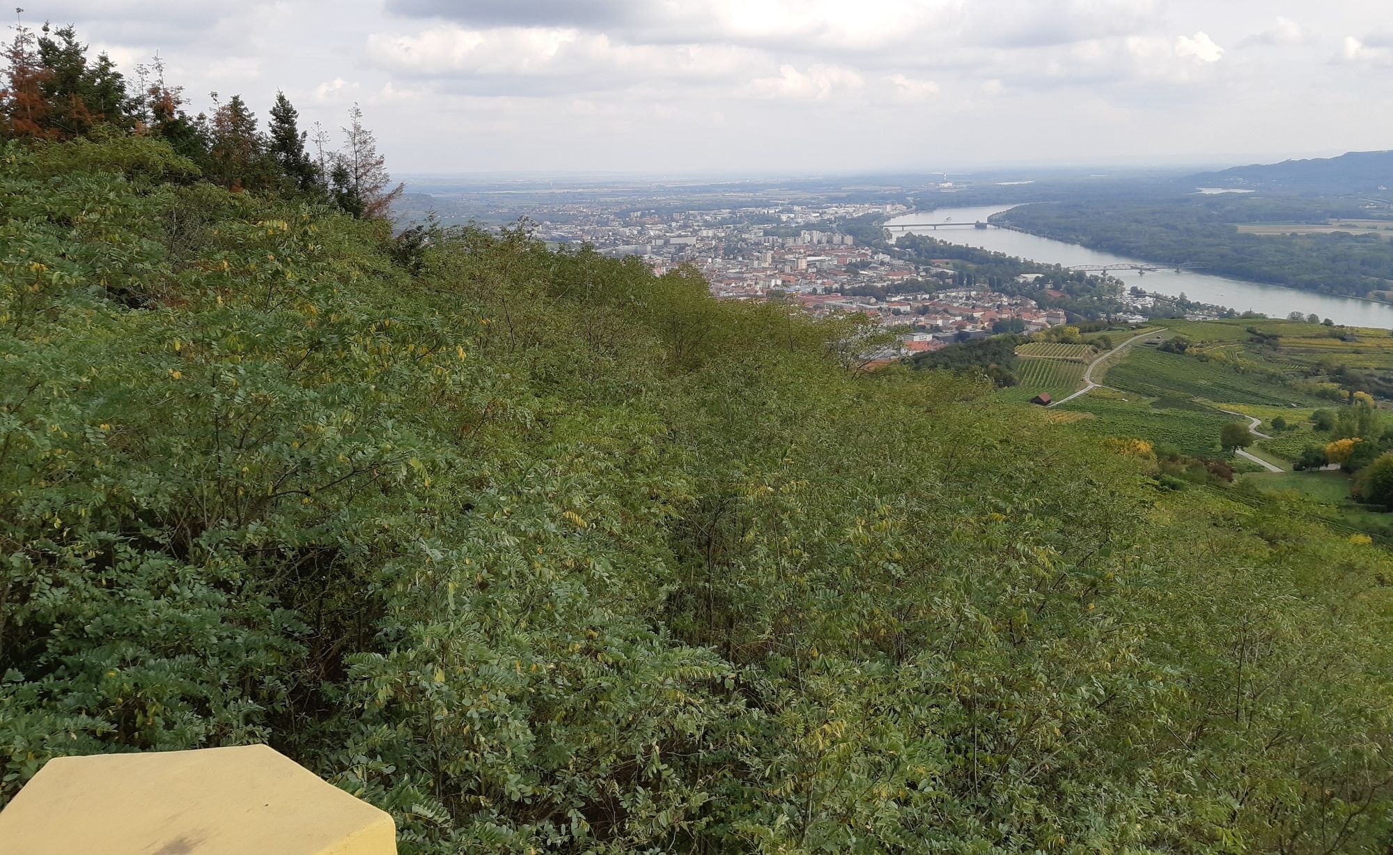
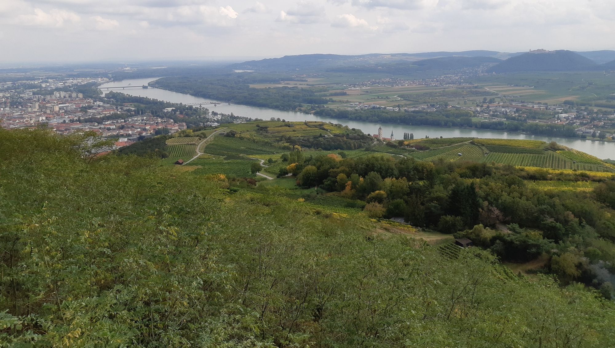
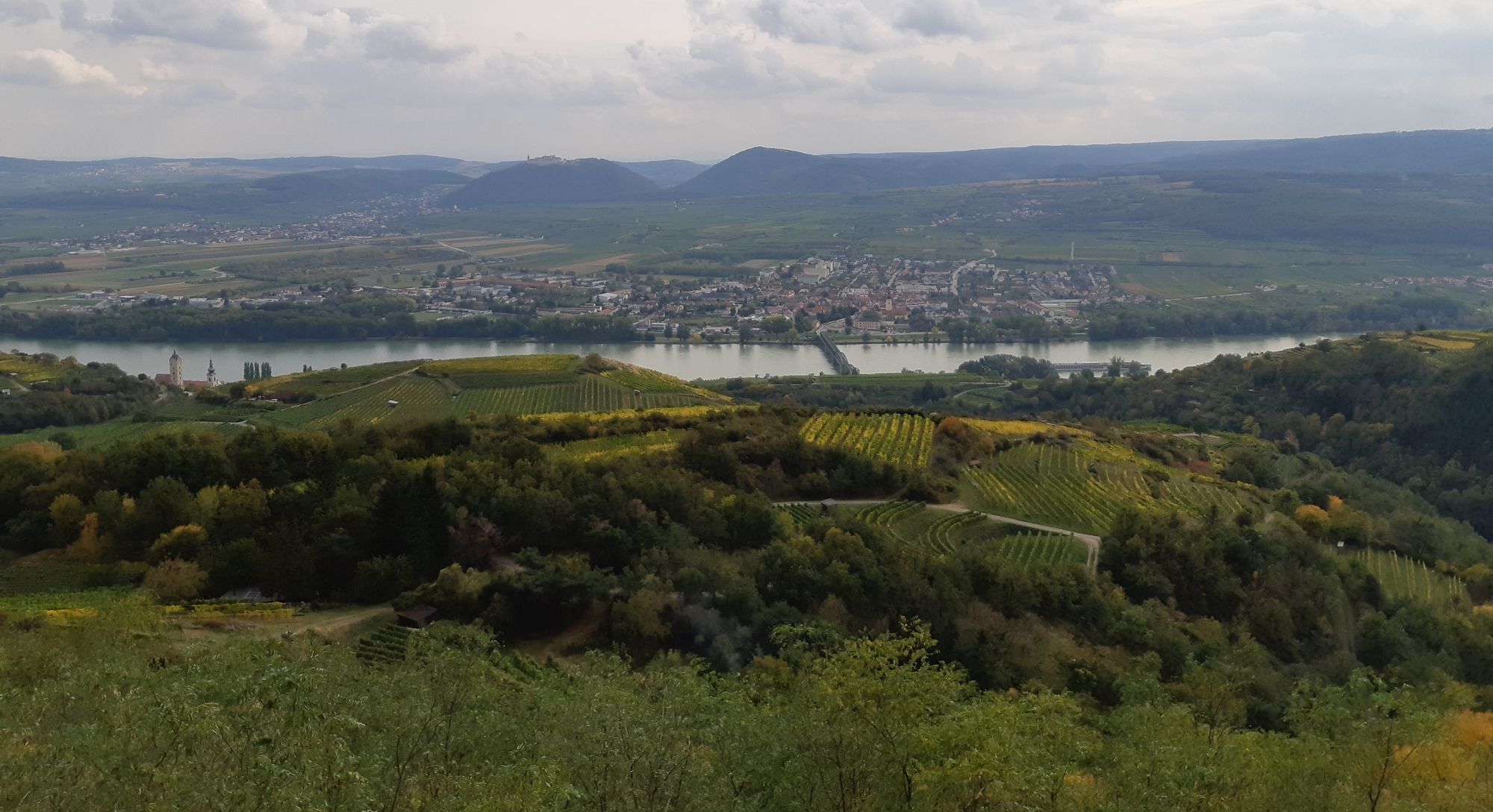
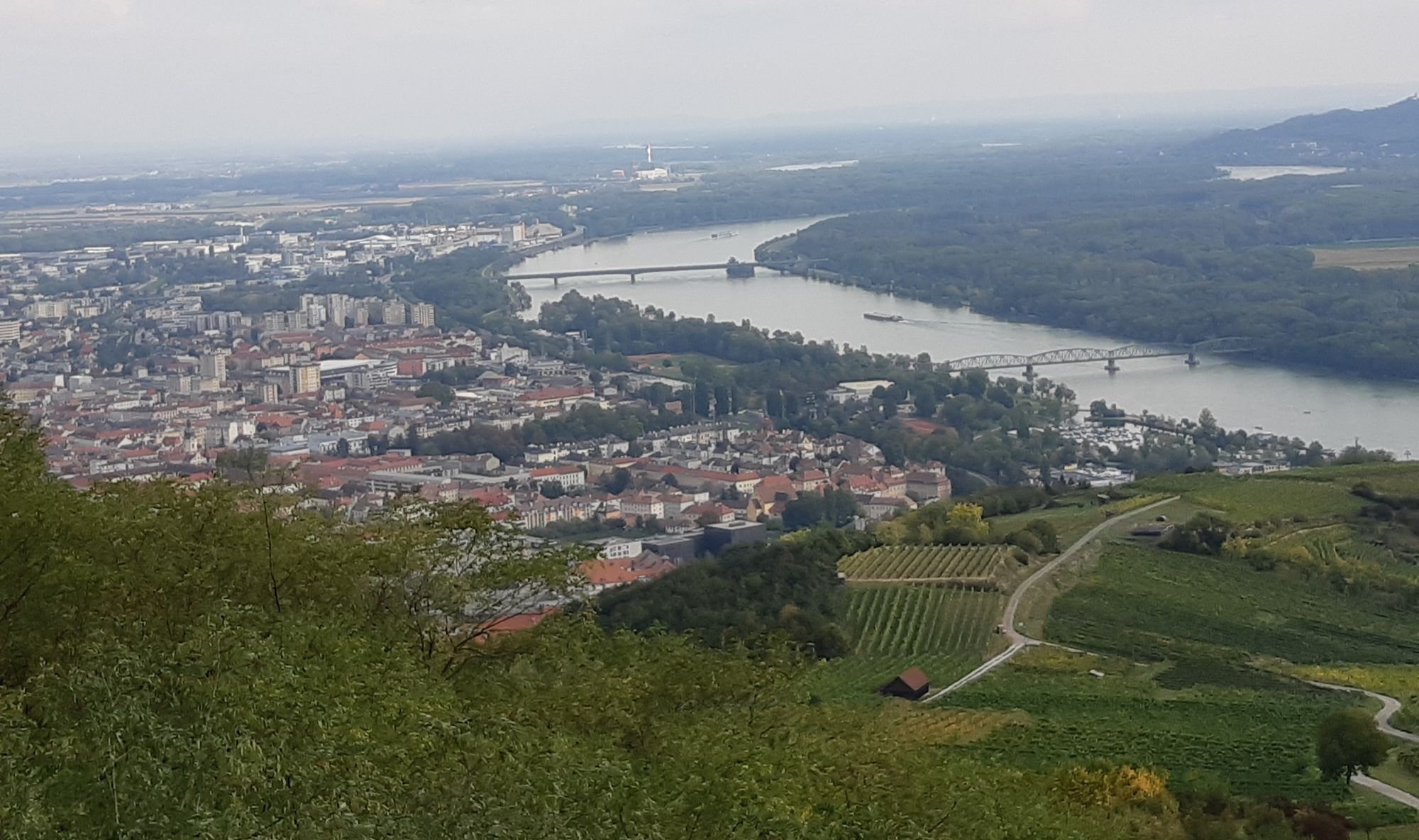
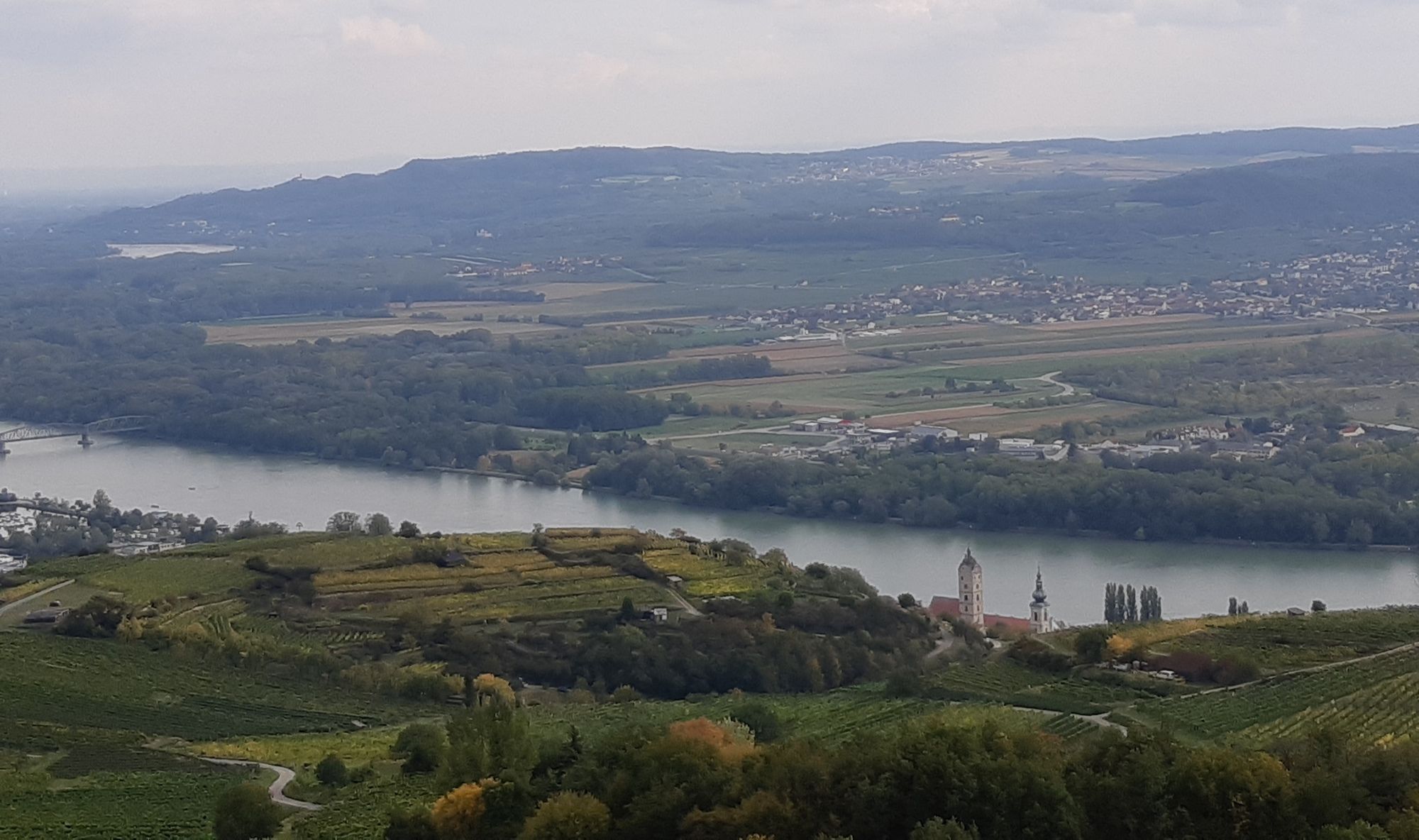
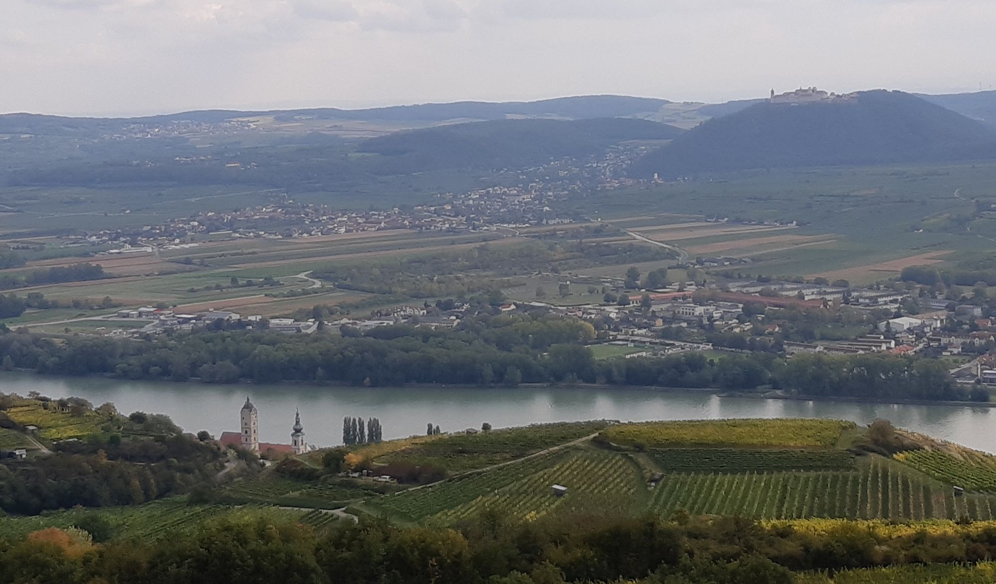
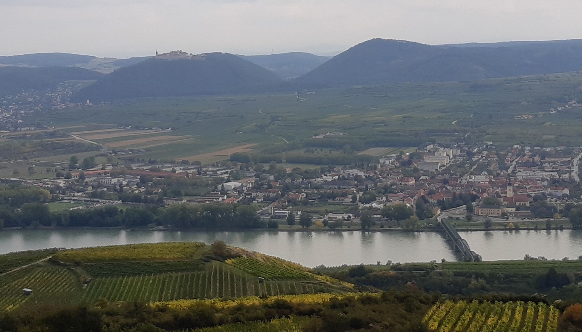
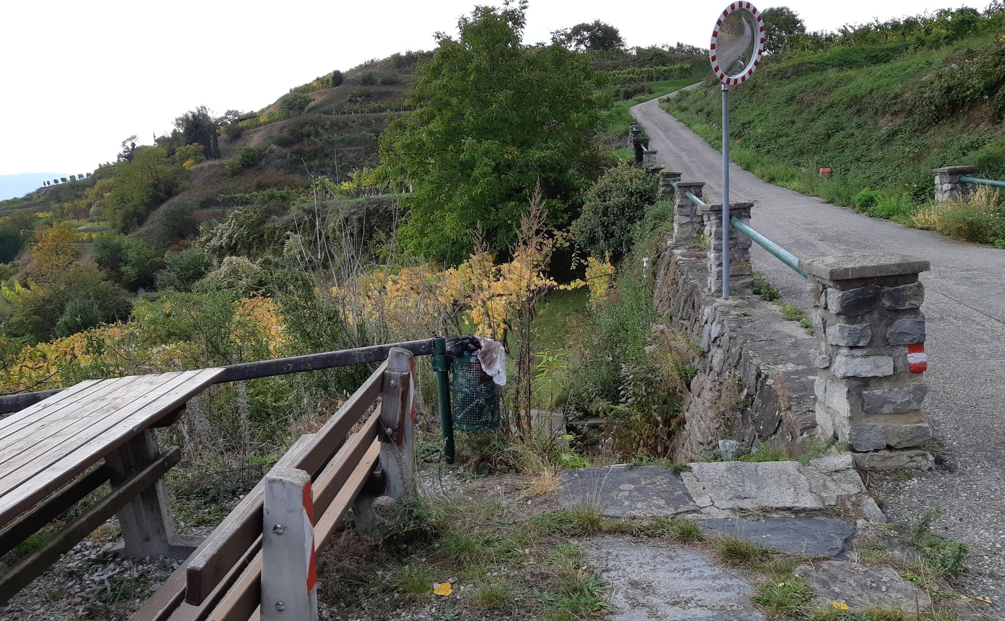
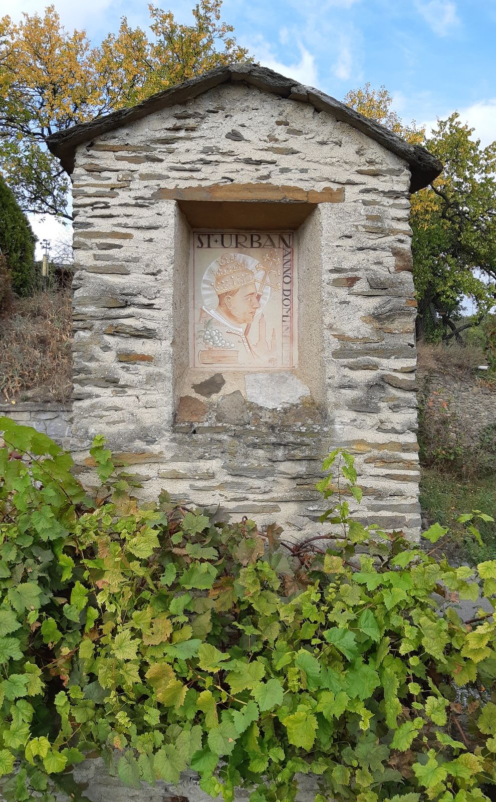
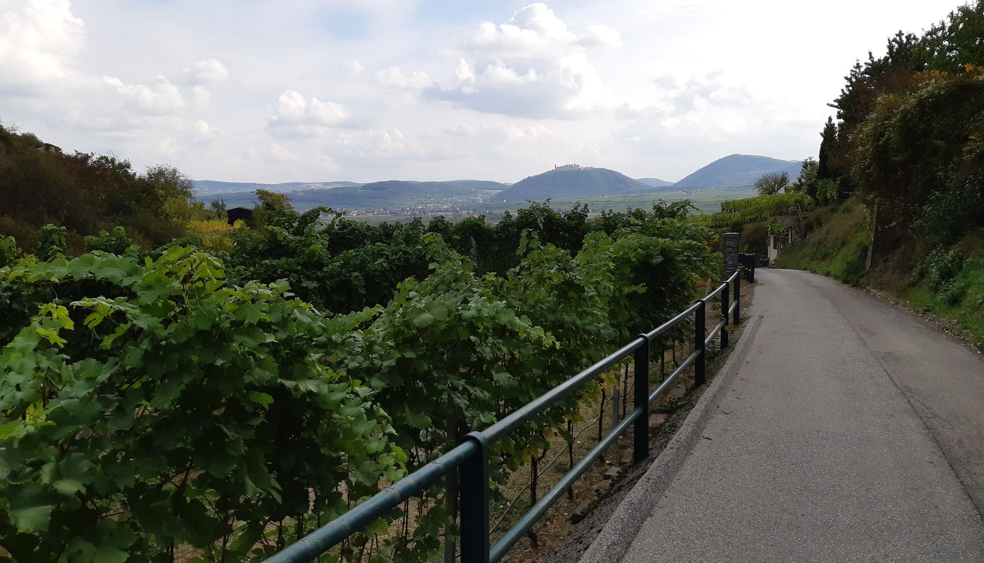
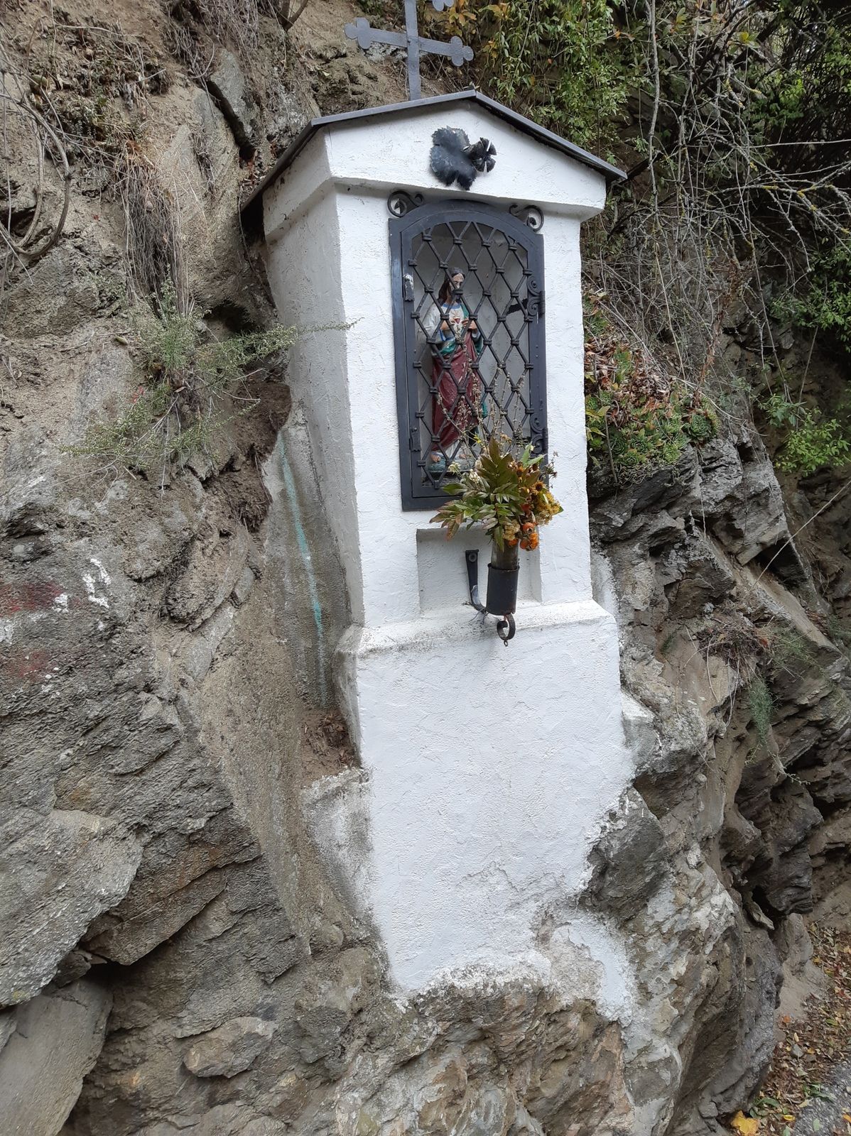
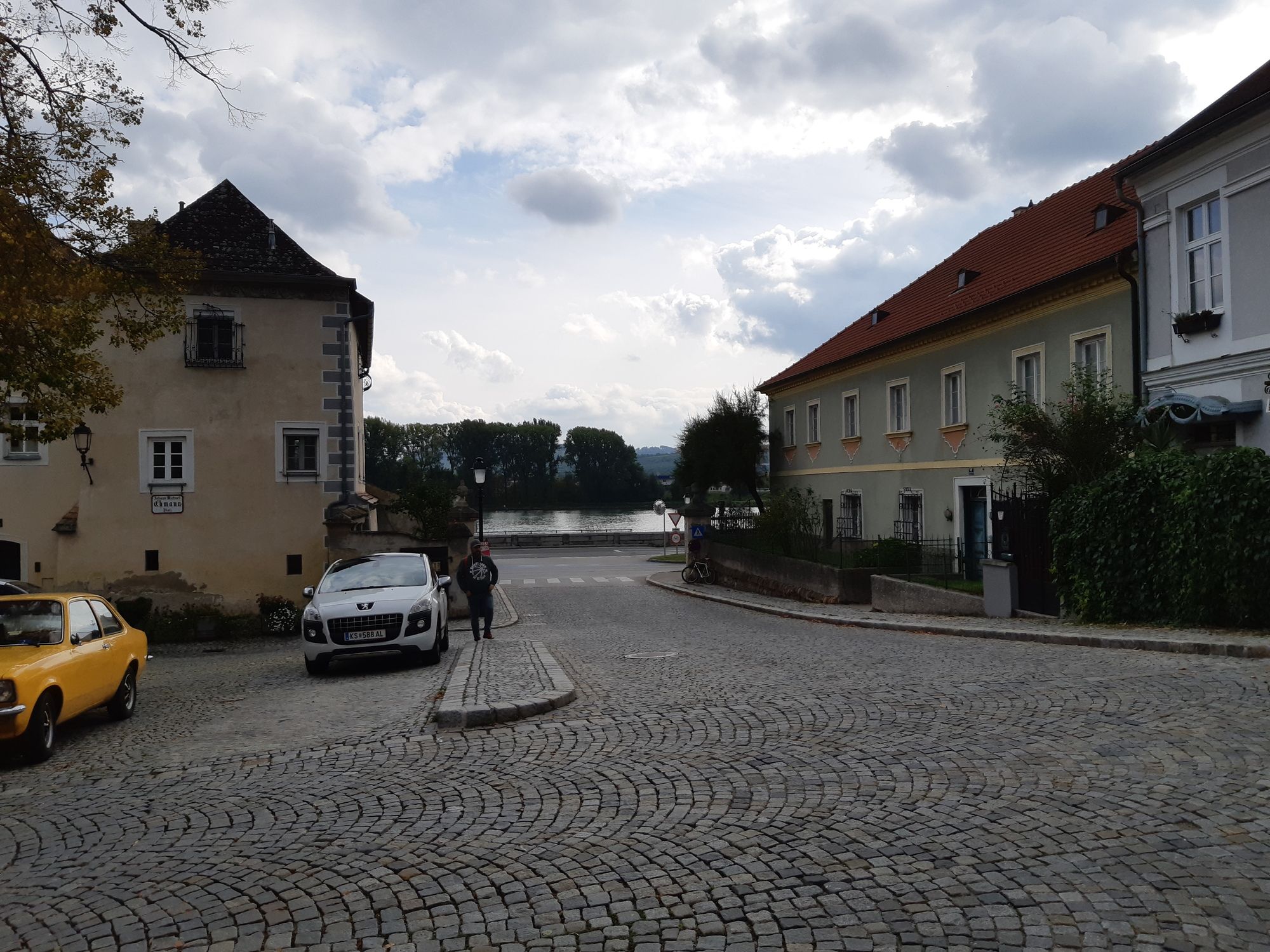
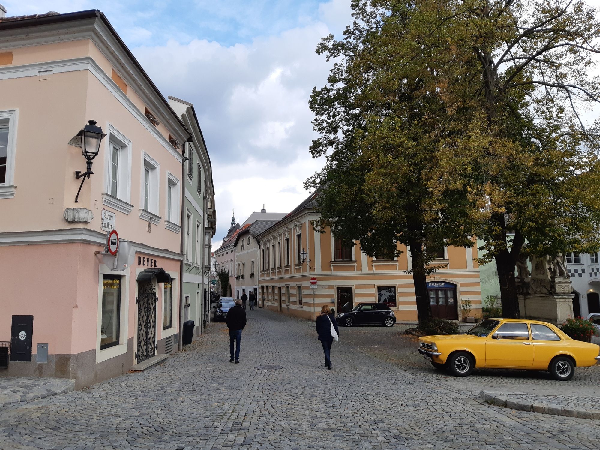
Spontaner Nachmittagsspaziergang von Krems Stein über dem Förthofgraben/Reisperbachgraben auf die Braunsdorfer Donauwarte und zurück.
- Dificultad
-
fácil
- Valoración
-
- Punto de salida
-
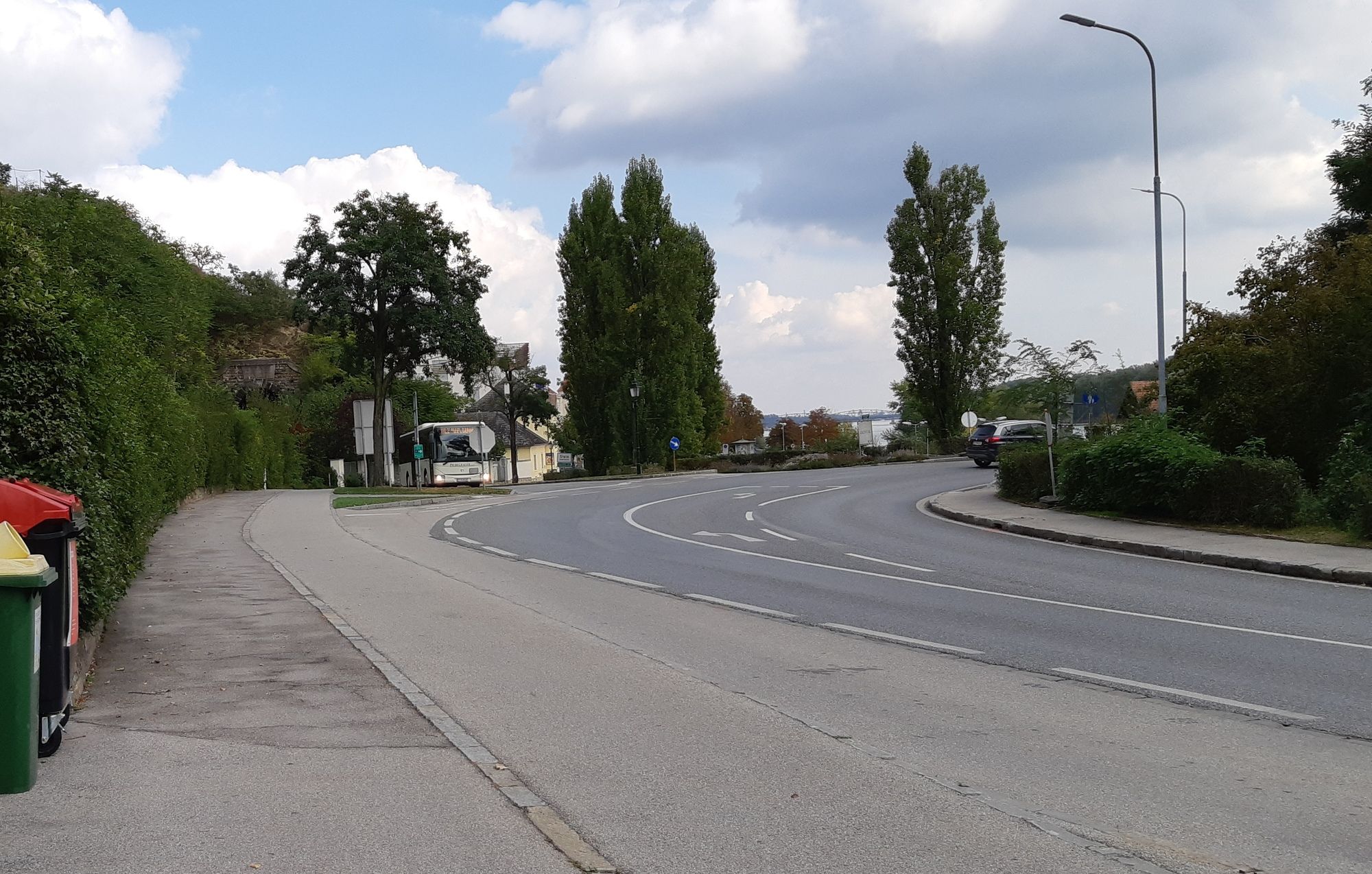
Parkplatz PKW
- Ruta
-
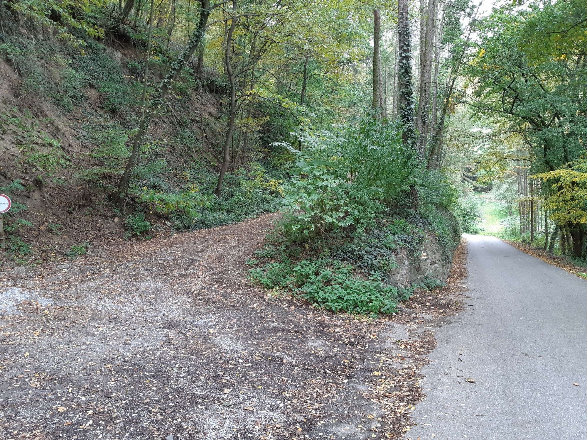
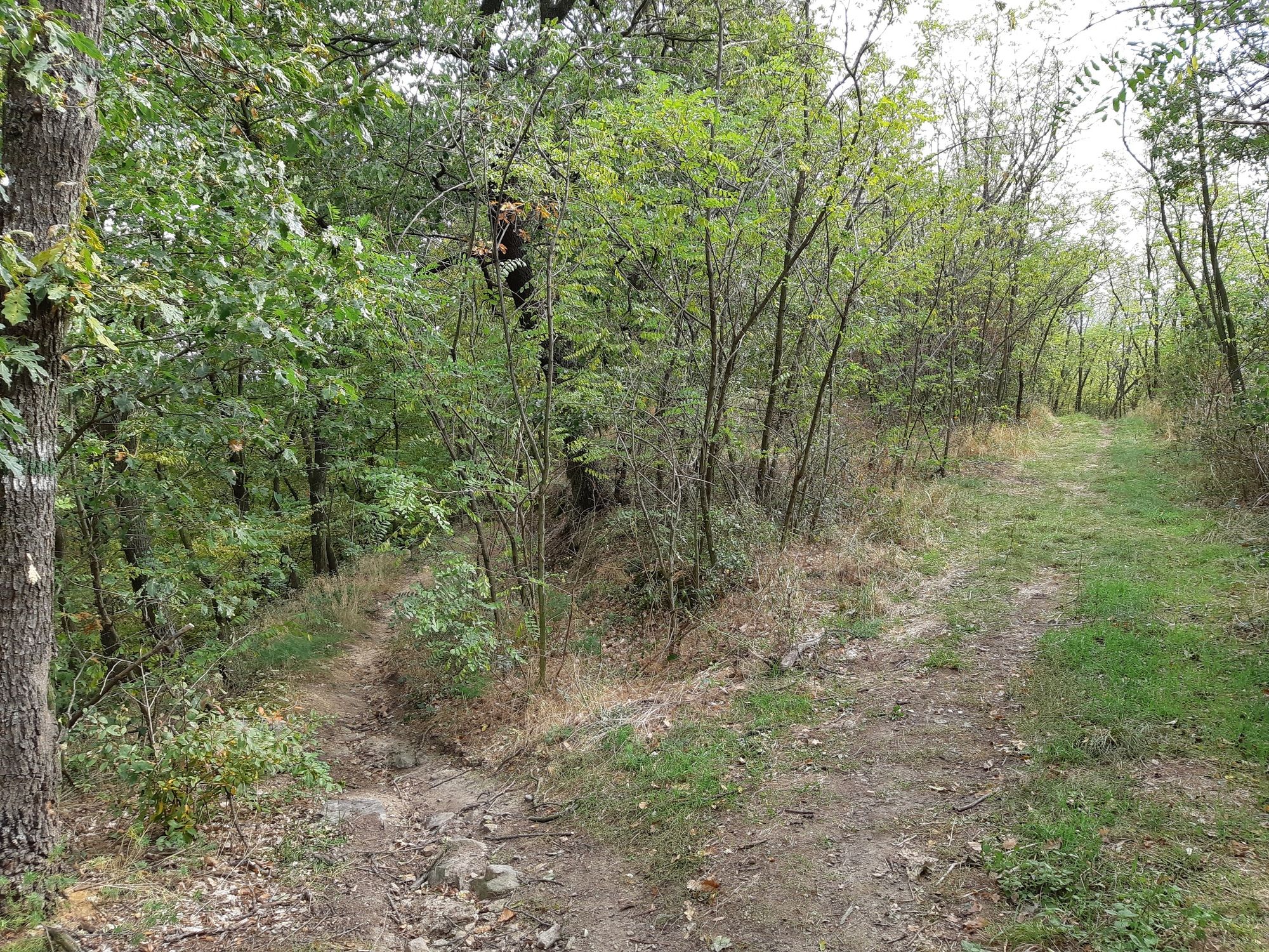
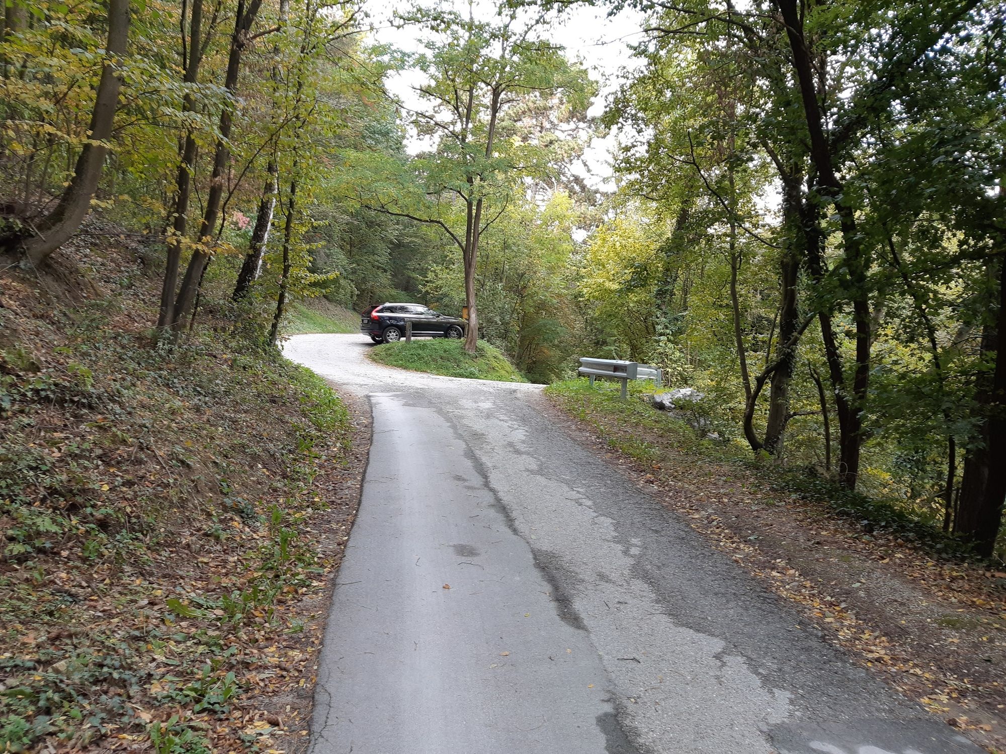
Förthof0,2 kmStein-Mautern0,2 kmSt. Matthias0,3 kmFörthofquelle0,7 kmFörthofgraben1,3 kmReisperbachtal2,7 kmBraunsdorfer Berg (450 m)3,6 kmDonauwarte (450 m)3,7 kmStein an der Donau5,3 km
- La mejor temporada
-
enefebmarabrmayjunjulagosepoctnovdic
- Punto álgido
- Braunsdorfer Donauwarte (450 m)
- Punto final
-
Braunsdorfer Donauwarte
- Descanso/Avituallamiento
-
Div. Möglichkeiten in Krems Stein etc.
- Material cartográfico
-
bergfex, amap, kompass, opentopomap


- Fuente
- Erich Helferstorfer
GPS Downloads


Superficie de carretera
Asfalto
(50%)
Gravilla
(40%)
Pradera
(10%)
Bosque
(35%)
Roca
Expuesto
Más circuitos por las regiones
-
Donau Niederösterreich
2289
-
Kamptal - Manhartsberg
1158
-
Mautern an der Donau
697


