
© Wiener Alpen in Niederösterreich - Semmering Rax - Katrin Zeleny
© ©Wiener Alpen, Foto: Franz Zwickl - Wiener Alpen in Niederösterreich Tourismus GmbH
© ©NÖW, Foto: Robert Herbst - Wiener Alpen in Niederösterreich Tourismus GmbH
© ©Wiener Alpen, Foto: Bene Croy
© Wiener Alpen in Niederösterreich - Semmering Rax - Renate Buchner
- Breve descripción
-
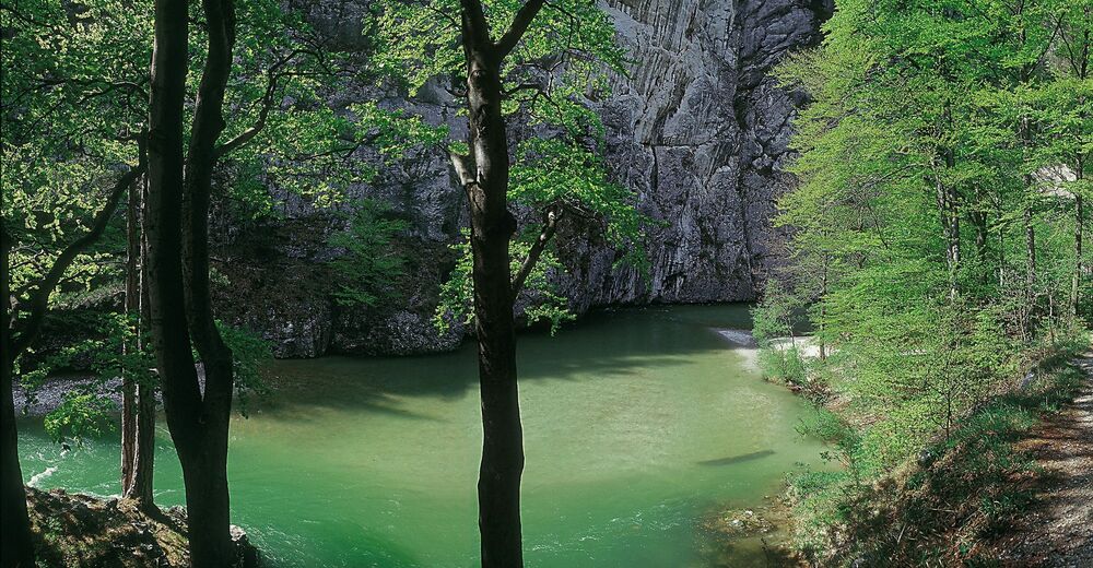
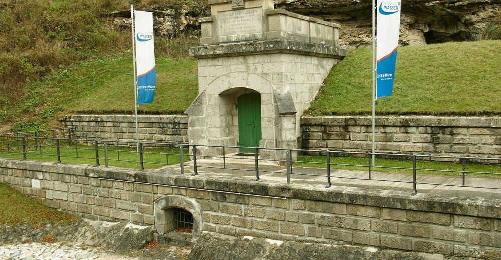
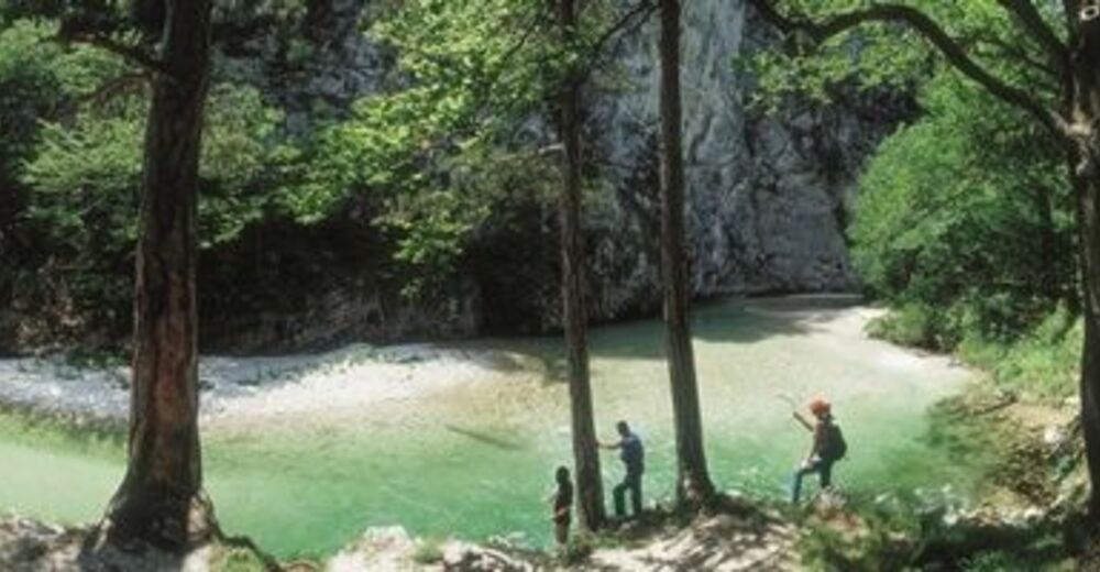
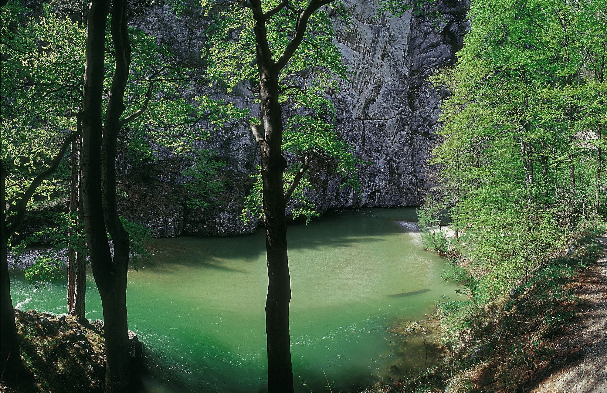
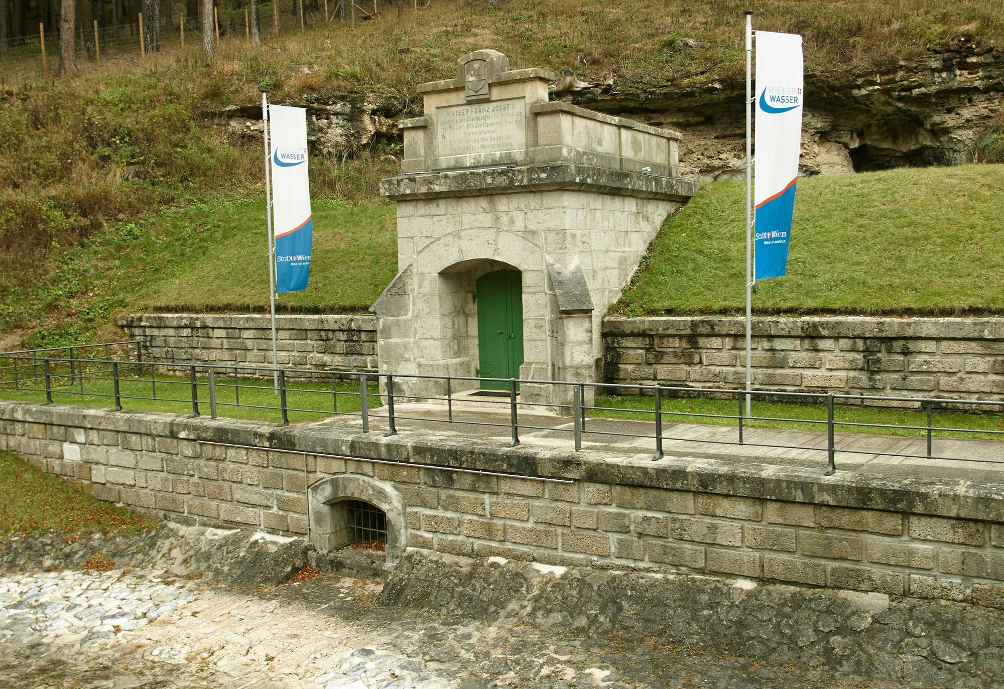
The source of life for the inhabitants of Vienna lies in Reichenau. The Kaiserbrunn spring is the source of the first Vienna water pipeline, built between 1869 and 1873 . The water flows from Kaiserbrunn to Vienna every day.
- Dificultad
-
medio
- Valoración
-
- Ruta
-
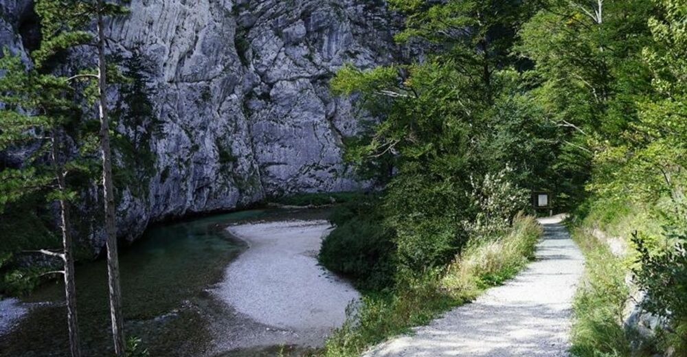
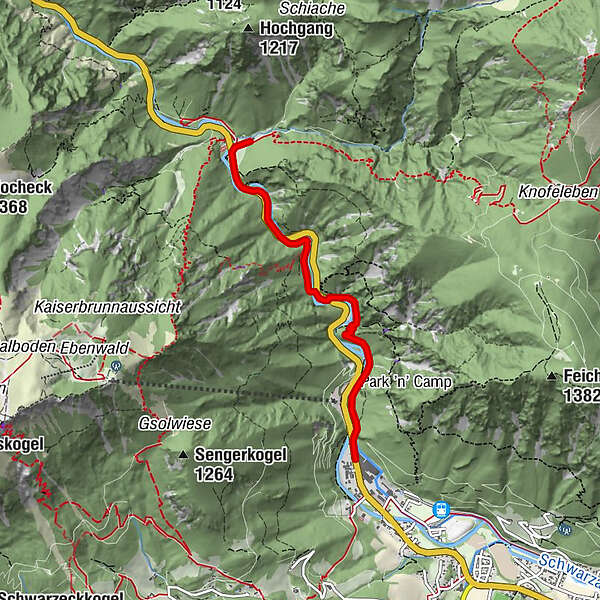
Stollen0,3 kmStollen0,5 kmMittagsteinhöhle0,6 kmStollen zur Wasserleitung2,6 kmAbbrennbrückenkluft2,7 kmSpritzbetonhöhle2,9 kmStollenloch3,0 kmStollenlochhöhle3,0 kmSpannbrücken-Halbhöhle3,4 kmSchnepfkapelle3,6 kmam Wasserwerk3,7 kmKaiserbrunn3,7 kmKaiserbrunnen3,8 km
- La mejor temporada
-
enefebmarabrmayjunjulagosepoctnovdic
- Punto álgido
- 567 m
- Punto final
-
Kaiserbrunn
- Perfil alto
-


- Autor
-
La gira First Vienna Water Pipeline Trail es utilizado por outdooractive.com proporcionado.
GPS Downloads


Información general
Punto de avituallamiento
Cultural/Histórico
Flora
Más circuitos por las regiones
-
Hochsteiermark
4082
-
Semmering - Rax
2314
-
Reichenau / Rax - Raxalpe
937


