Hut hopping in the Raxalpe area (Number 4: mountain station - Ottohaus - Seehuette)

Senderismo

© ©Wiener Alpen, Foto: www.eva-gruber.com - Wiener Alpen in Niederösterreich

© ©Wiener Alpen, Foto: Janos Kalmar - Wiener Alpen in Niederösterreich Tourismus GmbH

© ÖAV-Hüttenfinder - Sektion Reichenau

© AV-alpenvereinaktiv.com - Harald Herzog
Datos del tour
10,88km
1.545
- 1.788m
350hm
361hm
03:45h

- Breve descripción
-
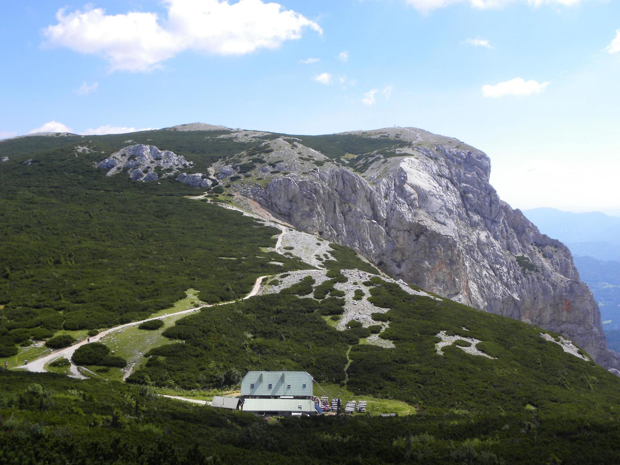
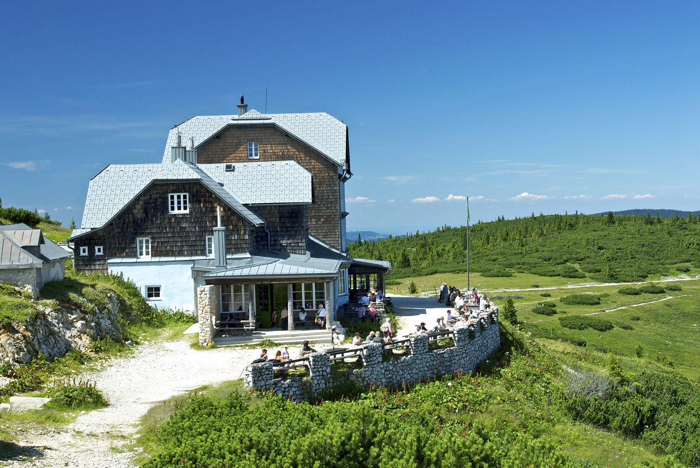
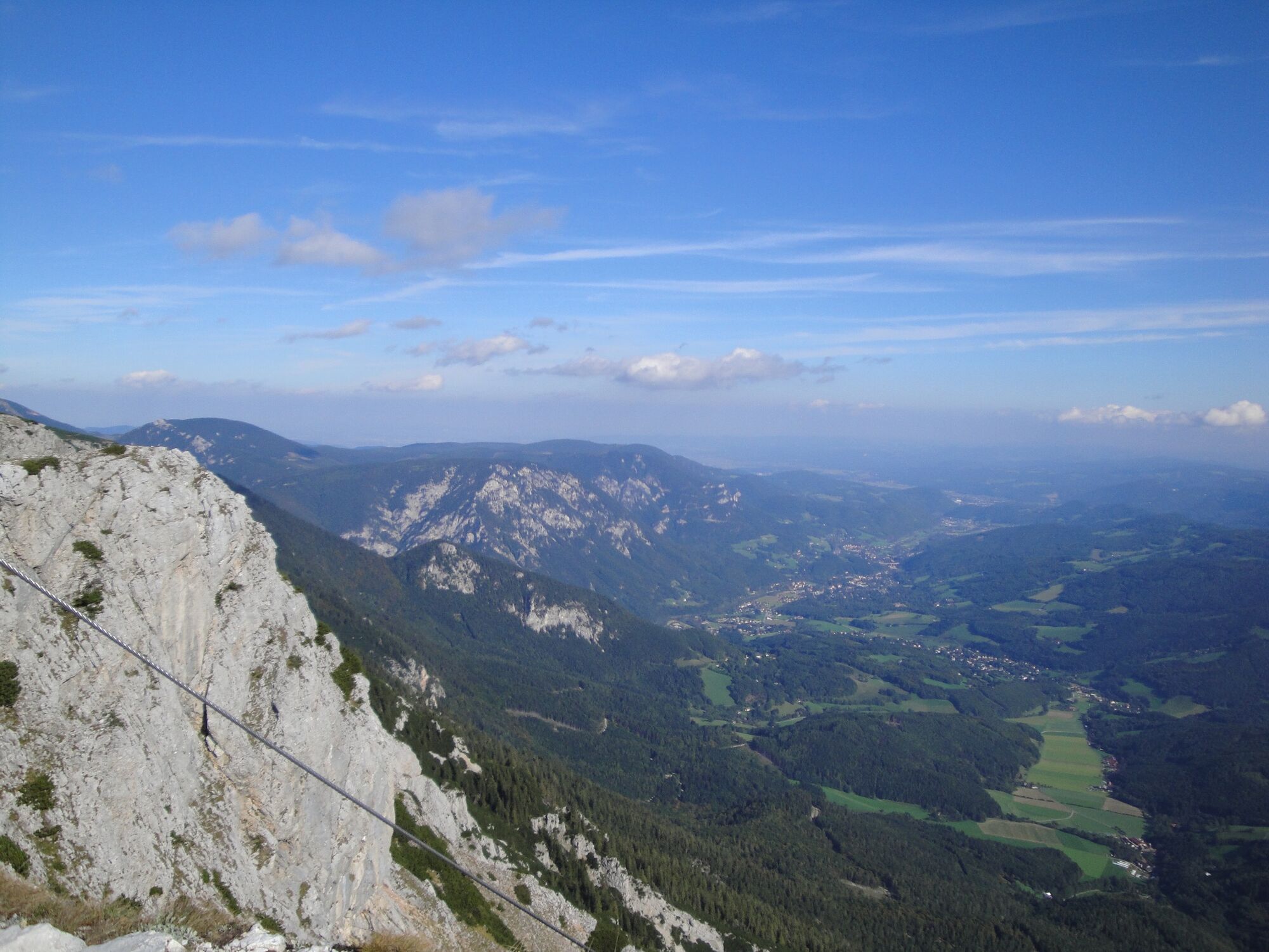
Hiking from hut to hut – “hut hopping” – in the Rax is one of the most popular trails in the region. It means being able to hike in subalpine heights, through meadows and the mountain pine zone, without having to tackle difficult gradients.
- Dificultad
-
medio
- Valoración
-
- Ruta
-
BerggasthofPraterstern (1.623 m)1,5 kmKönigsschusssattel (1.654 m)5,3 kmNeue Seehütte5,3 kmBrach5,4 kmPreiner Wand (1.783 m)6,3 kmQuartetthöhle6,3 kmPreinerwandsteighöhle6,4 kmDuohöhle6,4 kmHohe Kanzel (1.699 m)7,7 kmHohe-Kanzel-Höhle7,8 kmJakobskogel (1.737 m)8,4 kmJakobshöhle I8,5 kmHöhlenruine8,5 kmJakobskogelschacht8,8 kmVilma-Haid-Aussicht8,8 kmOttohaus8,9 kmPraterstern (1.623 m)9,1 kmBerggasthof10,7 km
- La mejor temporada
-
enefebmarabrmayjunjulagosepoctnovdic
- Punto álgido
- 1.788 m
- Punto final
-
Raxalpen Berggasthof, summit station of the Rax aerial cableway
- Perfil alto
-


- Autor
-
La gira Hut hopping in the Raxalpe area (Number 4: mountain station - Ottohaus - Seehuette) es utilizado por outdooractive.com proporcionado.
GPS Downloads


Información general
Punto de avituallamiento
Flora
Vistas panorámicas
Más circuitos por las regiones
-
Hochsteiermark
4082
-
Waldheimat
2196
-
Reichenau / Rax - Raxalpe
937


