Über den Waxriegelsteig auf die Rax im Naturpark Mürzer Oberland

Senderismo

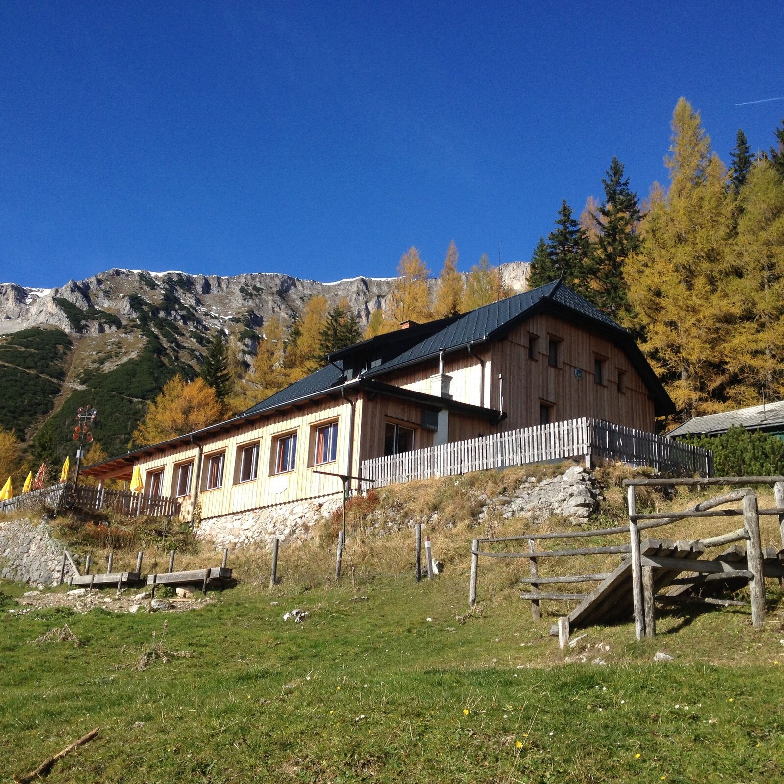
© TV Hochsteiermark - Andreas Steininger

© Naturpark Mürzer Oberland - Daniela Paul
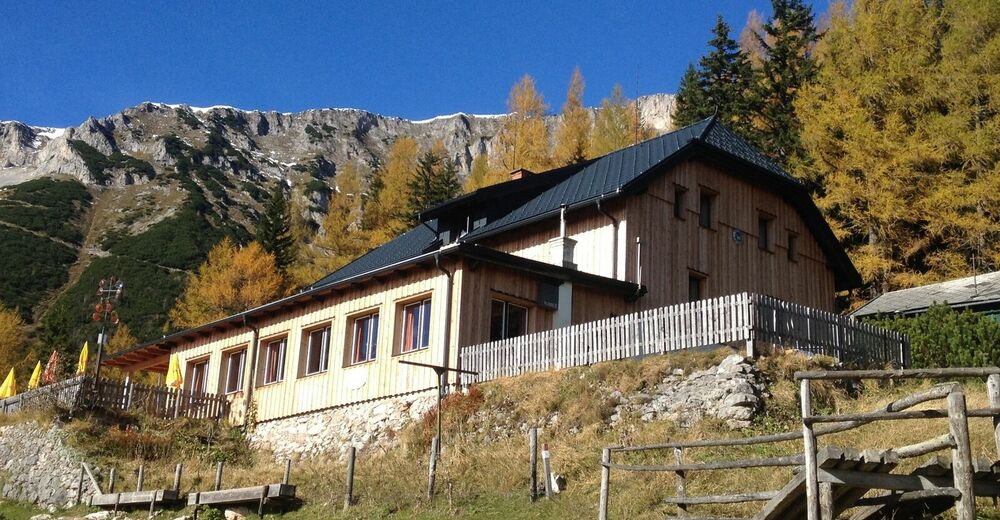
© Naturpark Mürzer Oberland - Waxriegelhaus

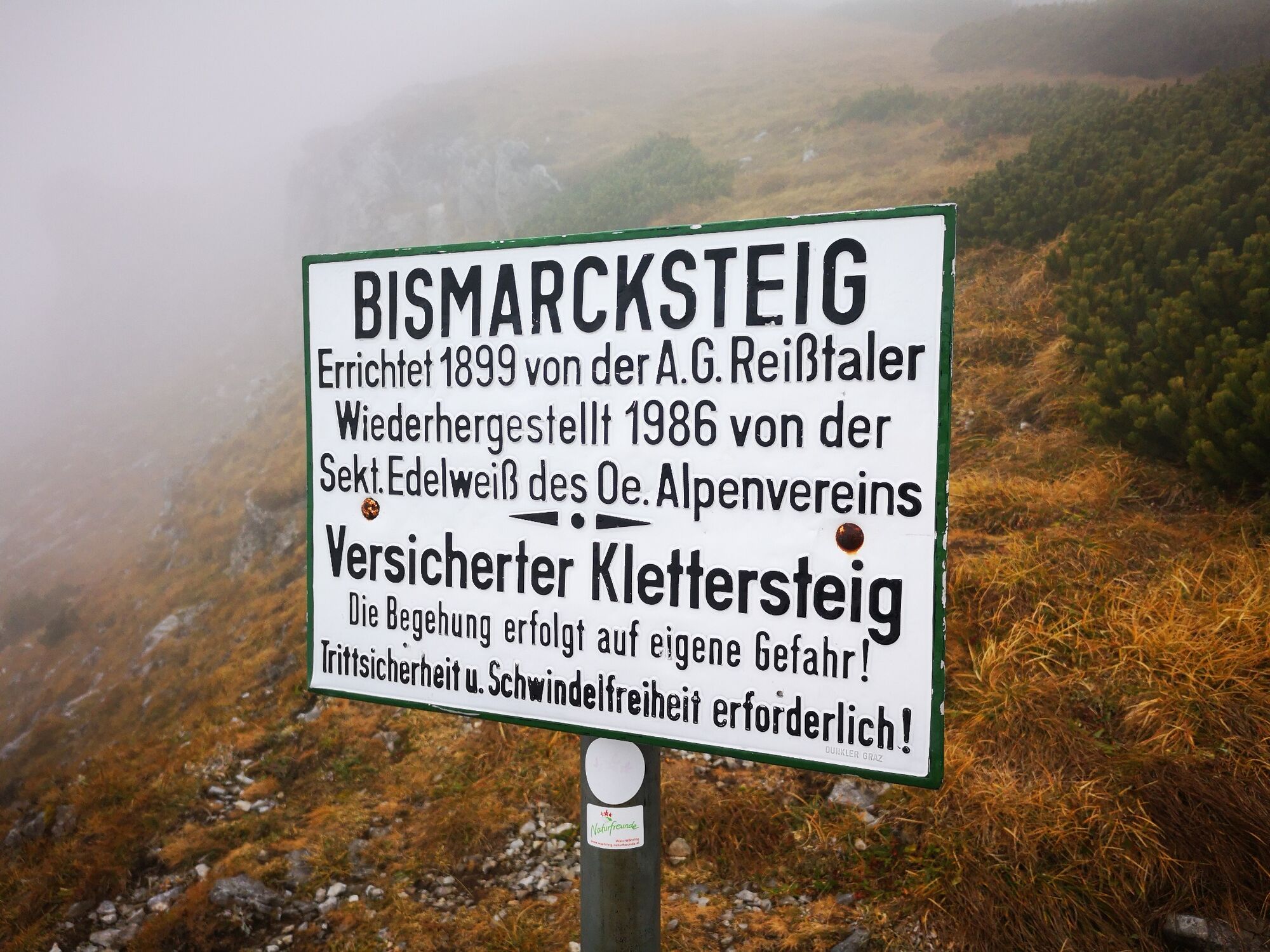
© TV Hochsteiermark - Andreas Steininger

© TV Hochsteiermark - Andreas Steininger

© Naturpark Mürzer Oberland - Daniela Paul

- Breve descripción
-
A Rax hike in the Mürzer Oberland Nature Park in Upper Styria on the border with Lower Austria, which is rich in views and also worthwhile from a culinary point of view.
- Dificultad
-
medio
- Valoración
-
- Ruta
-
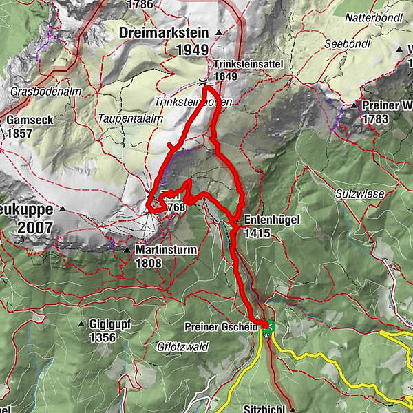
Edelweisshütte0,0 kmHelenenquelle1,1 kmWaxriegelhaus1,5 kmEntenhügel (1.415 m)1,6 kmTrinksteinsattel (1.849 m)3,7 kmTrinksteinboden4,0 kmPredigtstuhl (1.899 m)4,5 kmLichtensternhöhe (1.902 m)4,7 kmPredigtstuhlschacht5,0 kmTörl (1.768 m)5,5 kmKarl-Ludwig-Haus5,8 kmSiebenbrunnenkessel6,7 kmWaxriegelhaus8,0 kmHelenenquelle8,4 kmEdelweisshütte9,5 km
- La mejor temporada
-
enefebmarabrmayjunjulagosepoctnovdic
- Punto álgido
- 1.897 m
- Punto final
-
P am Preiner Gscheid
- Perfil alto
-


-

-
AutorLa gira Über den Waxriegelsteig auf die Rax im Naturpark Mürzer Oberland es utilizado por outdooractive.com proporcionado.
GPS Downloads


Información general
Punto de avituallamiento
Flora
Fauna
Vistas panorámicas
Más circuitos por las regiones
-
Hochsteiermark
4078
-
Waldheimat
2193
-
Altenberg an der Rax
564


