© W. Pöchgraber

© W. Pöchgraber

© W. Pöchgraber

© W. Pöchgraber

© W. Pöchgraber

© W. Pöchgraber
Datos del tour
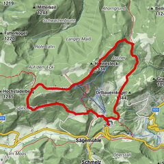
12,59km
450
- 850m
400hm
03:30h
- Breve descripción
-
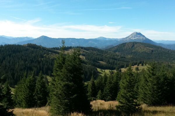
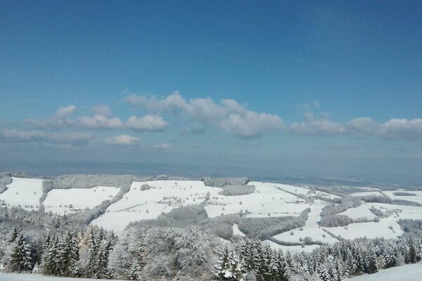
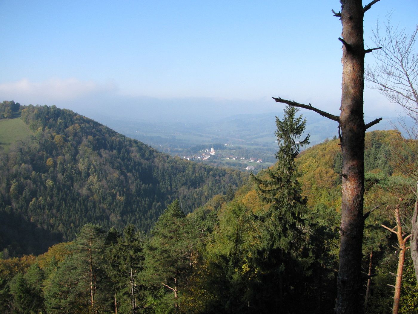
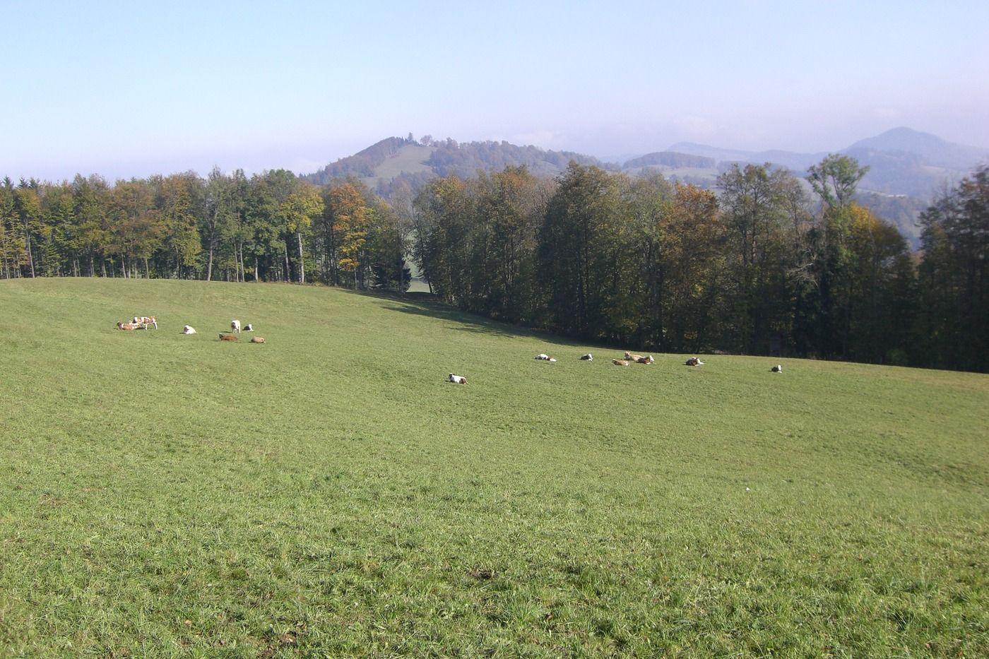
Schöne Rundwanderung im eher unbekannten Texingtal im Mostviertel
- Valoración
-
- Punto de salida
-
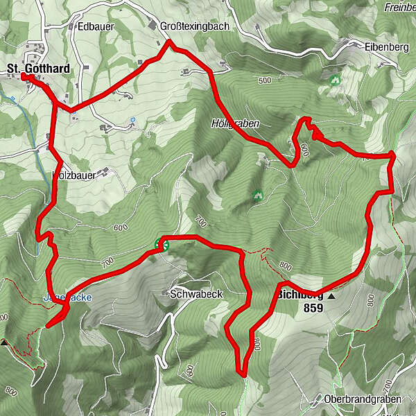
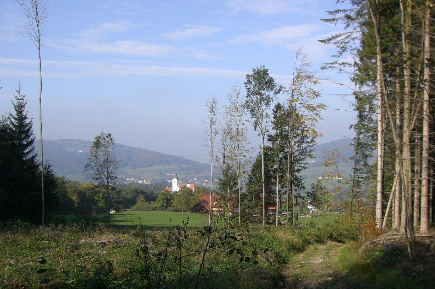
Kirche bzw. Gasthaus in St. Gotthard
- Ruta
-
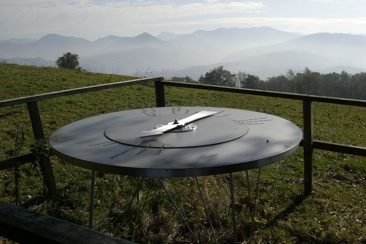
St. Gotthard0,0 kmGasthof Schrittwieser0,1 kmBichlberg (859 m)4,5 kmSchwabeckhöhle6,6 kmTexingtaler Panorama-Platzl6,7 kmSt. Gotthard9,6 kmGasthof Schrittwieser9,6 km
- La mejor temporada
-
enefebmarabrmayjunjulagosepoctnovdic
- Punto álgido
- 850 m
- Punto final
-
Wie Ausgangspunkt
- Descanso/Avituallamiento
-
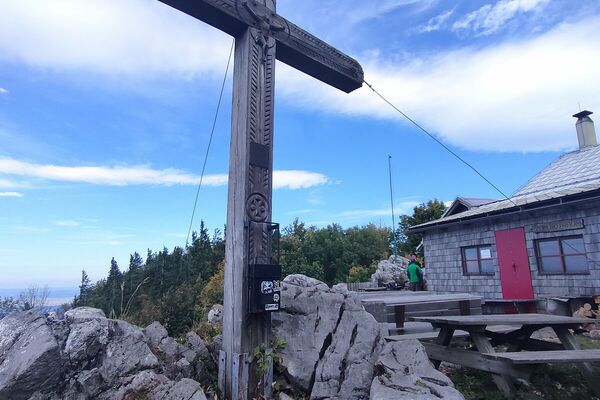
Grüntalkogelhütte von Anfang Mai bis Ende Oktober an Samstagen ab 14 Uhr, an Sonn- und Feiertagen ganztägig geöffnet; Gasthaus in St. Gotthard
- Material cartográfico
-
Kartenskizze "tut gut"-Wanderwege, ohne Maßstab; Bundesamtskarte 1:25.000 oder 1:50.000, Blatt 54 (MeIk) und 55 (Ober Grafendorf)


GPS Downloads


Más circuitos por las regiones
-
Mostviertel
2453
-
Pielachtal
1115
-
Texingtal
209