
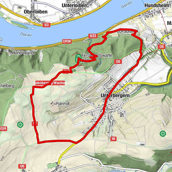
Datos del tour
6,09km
207
- 392m
180hm
169hm
02:00h
- Breve descripción
-
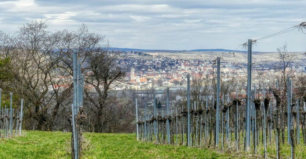
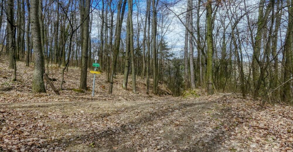
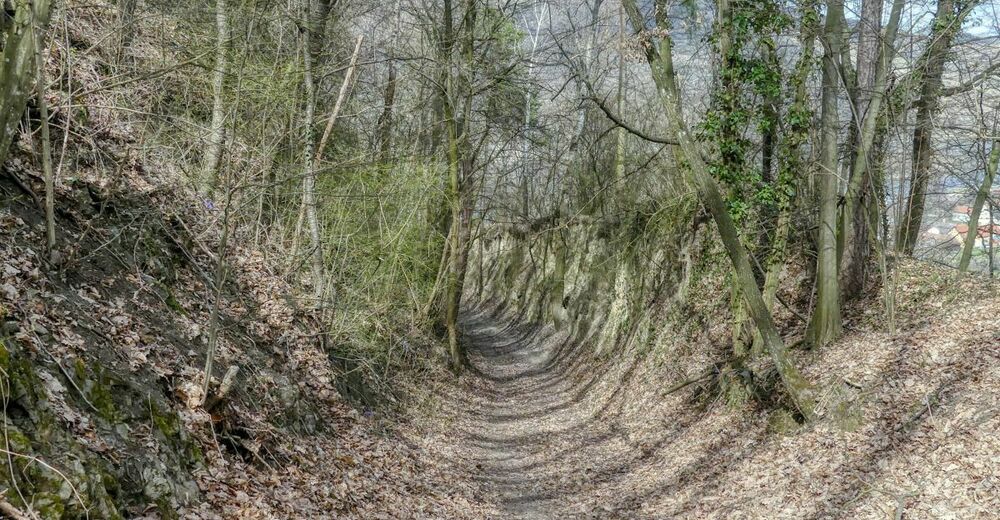
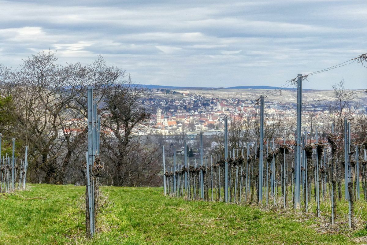
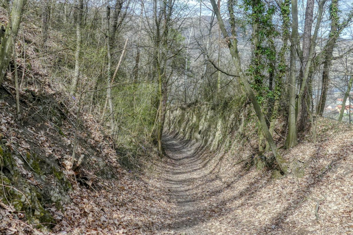
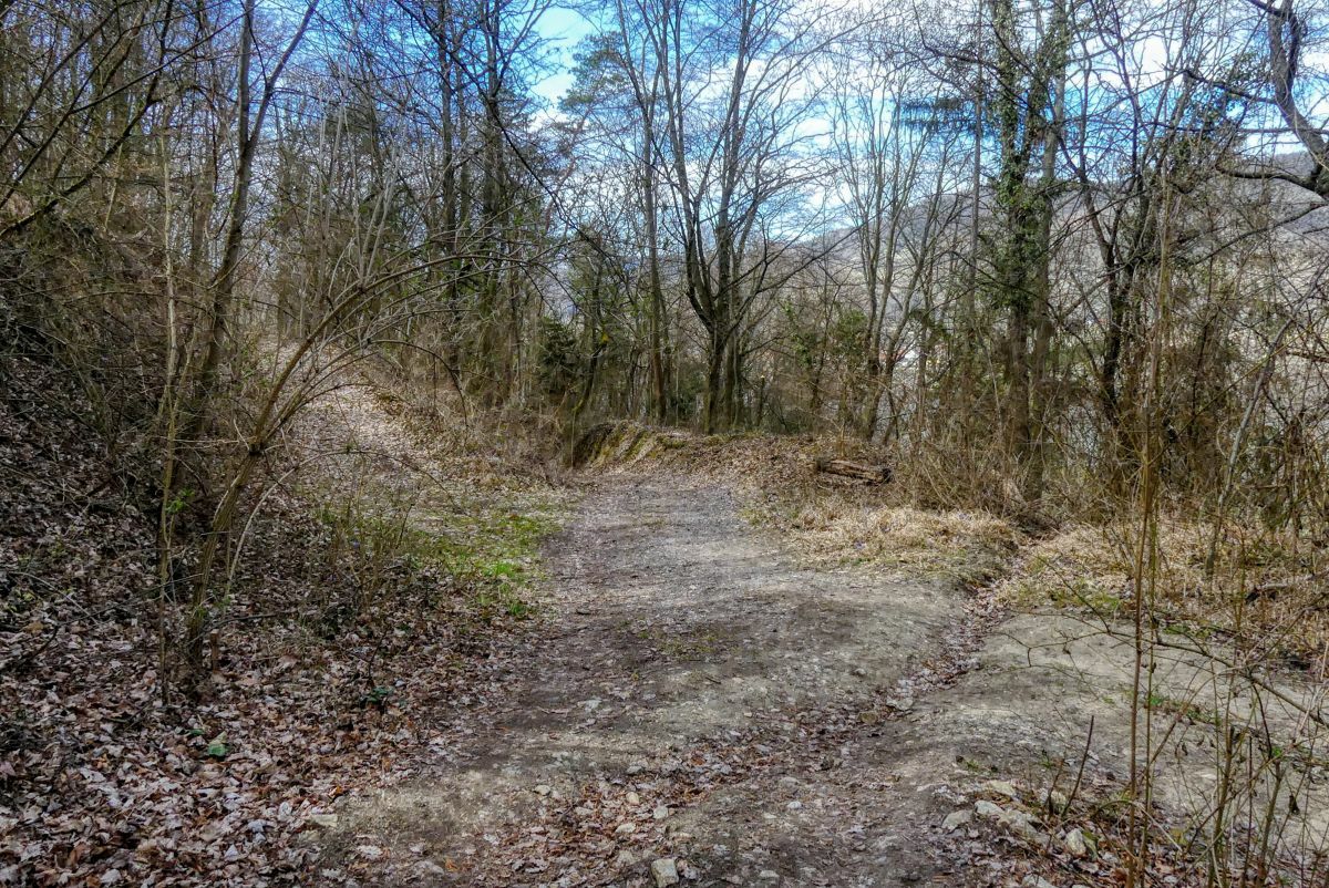
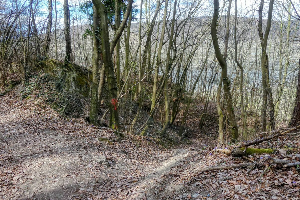
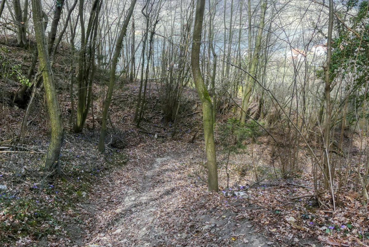
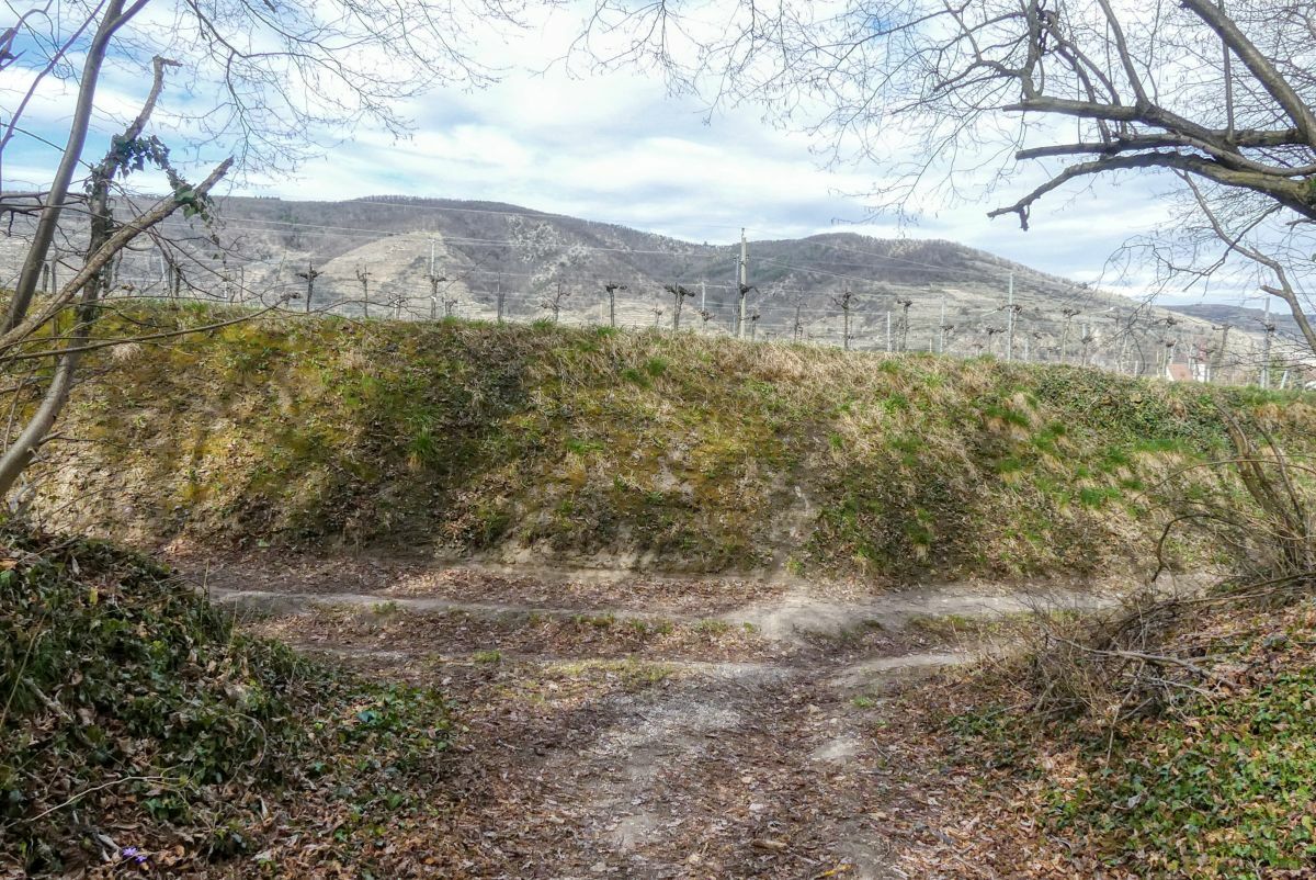
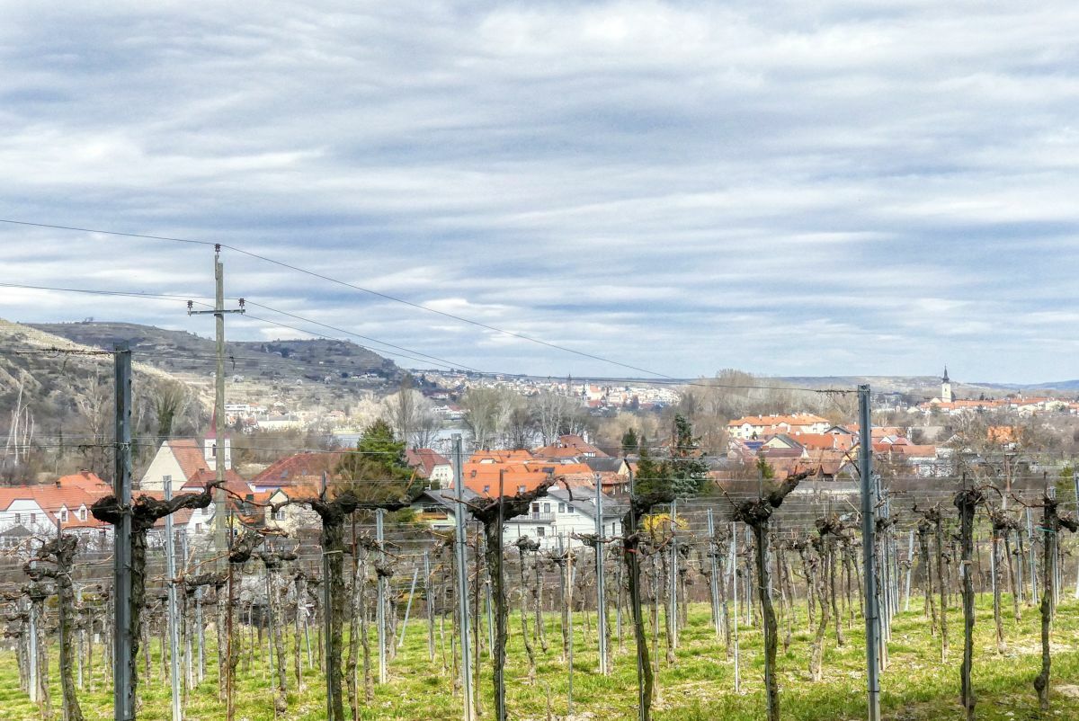
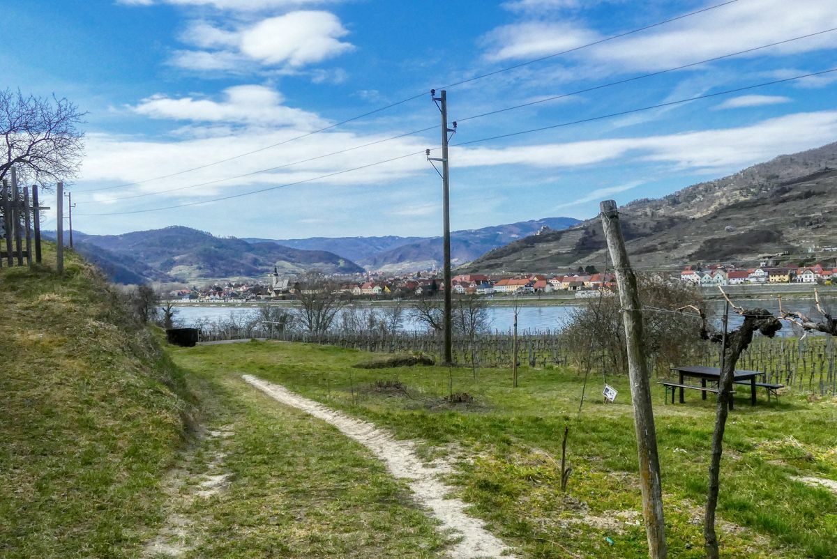
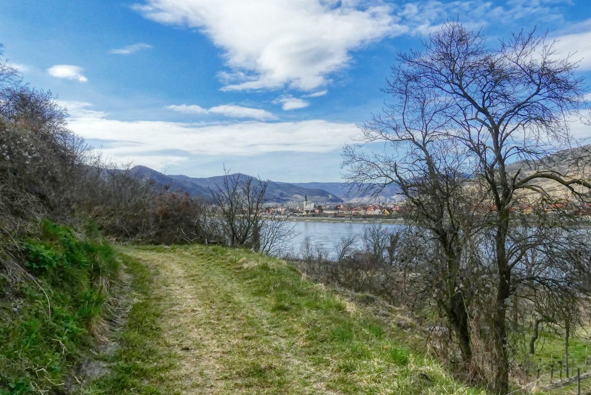
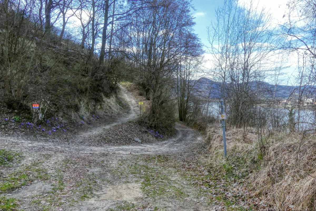
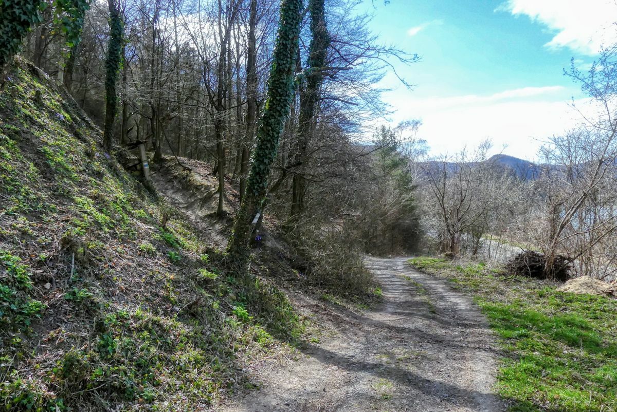
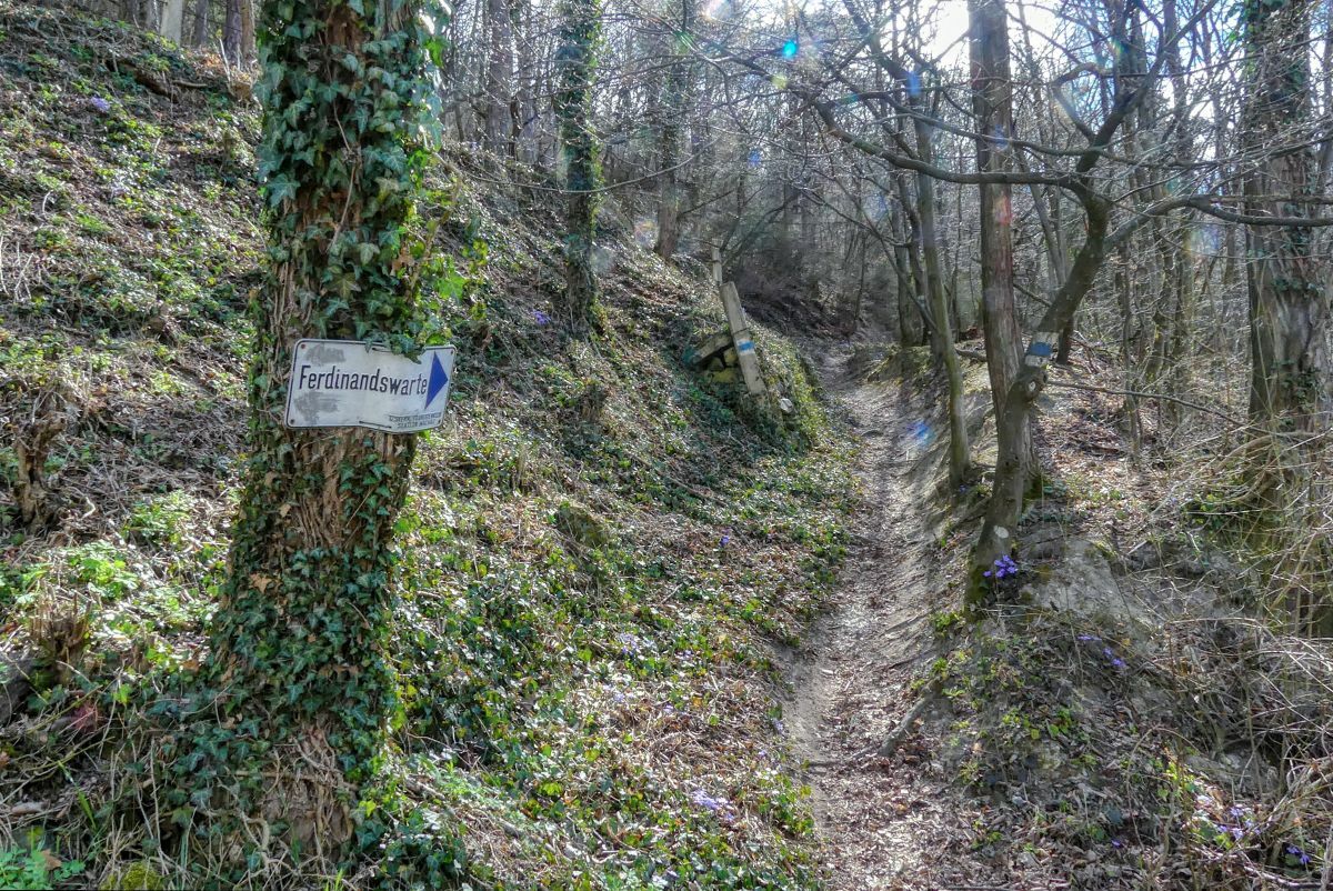
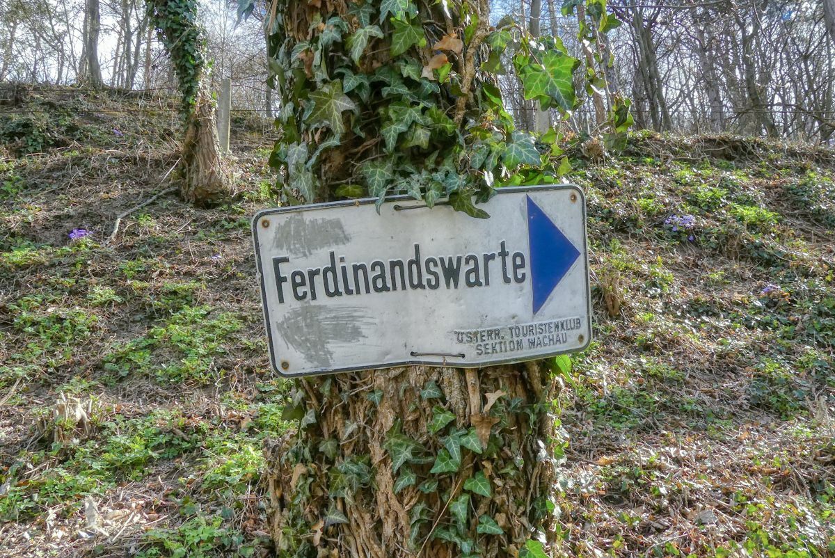
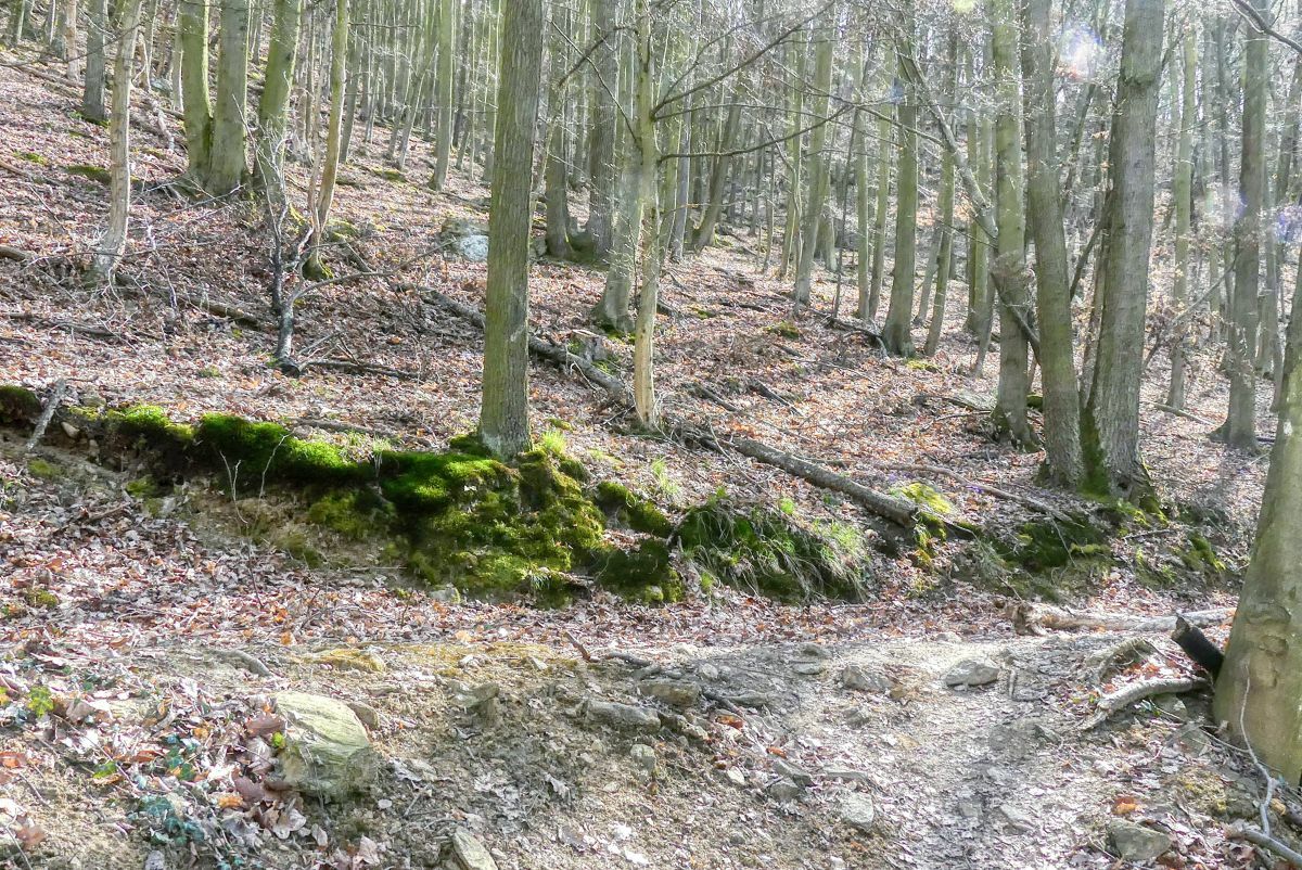
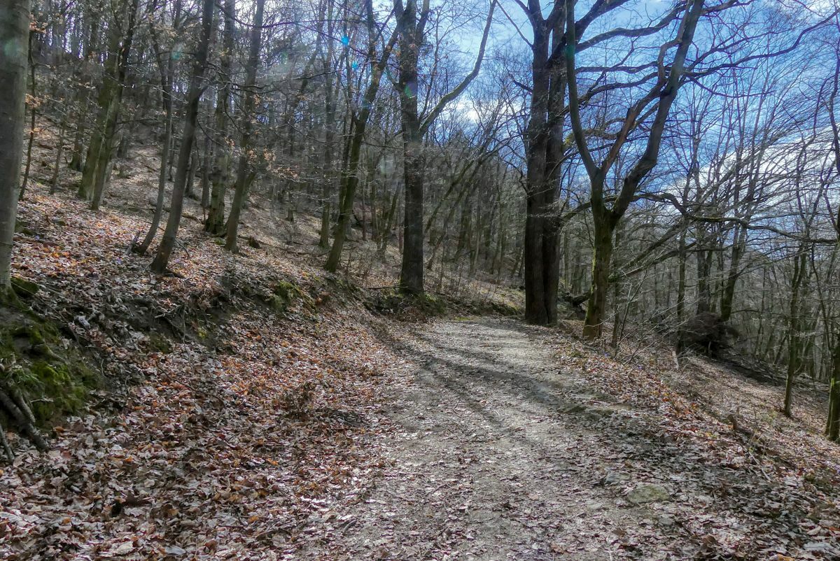
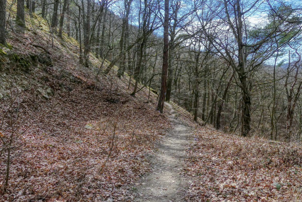
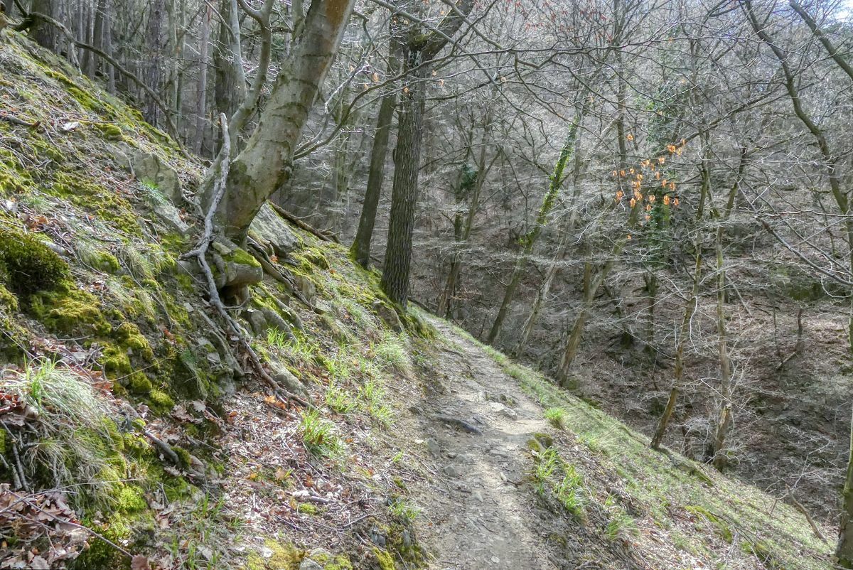
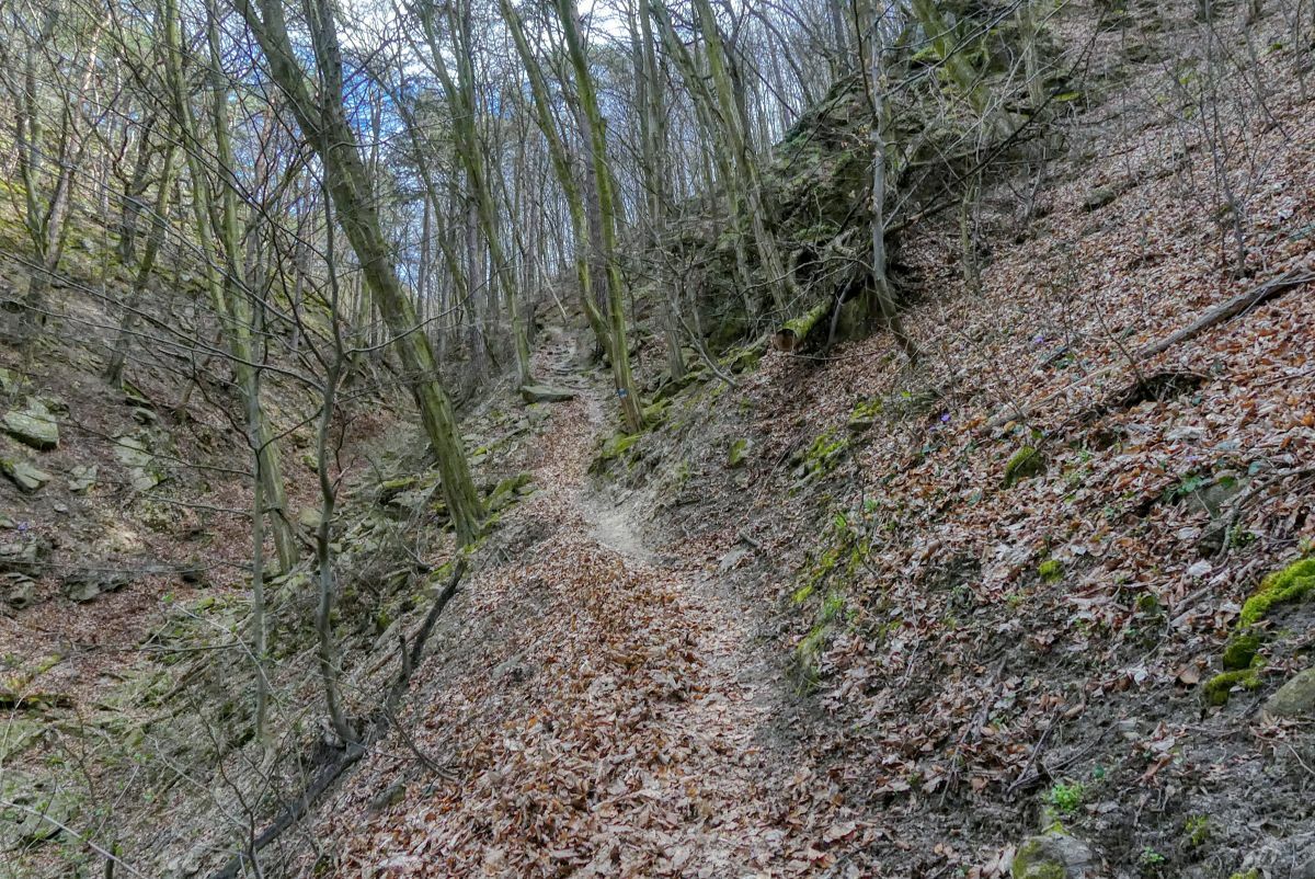
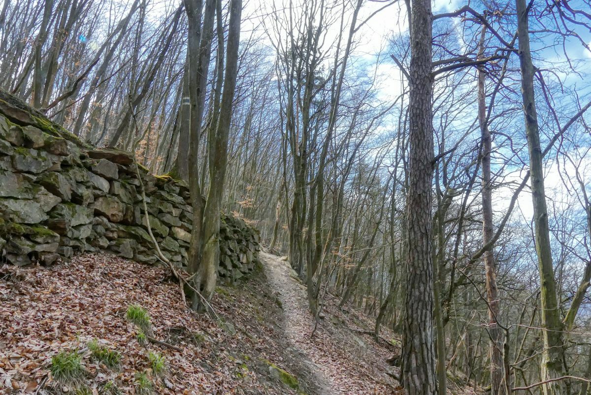
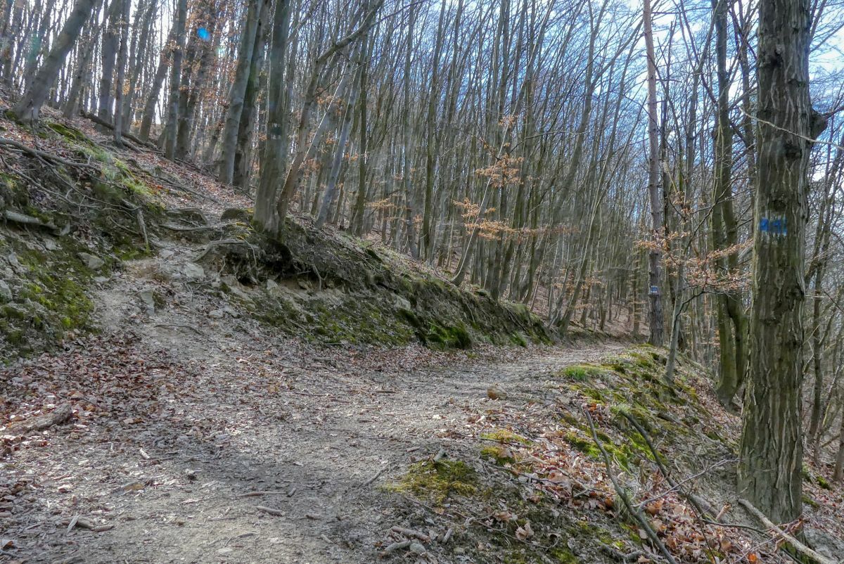
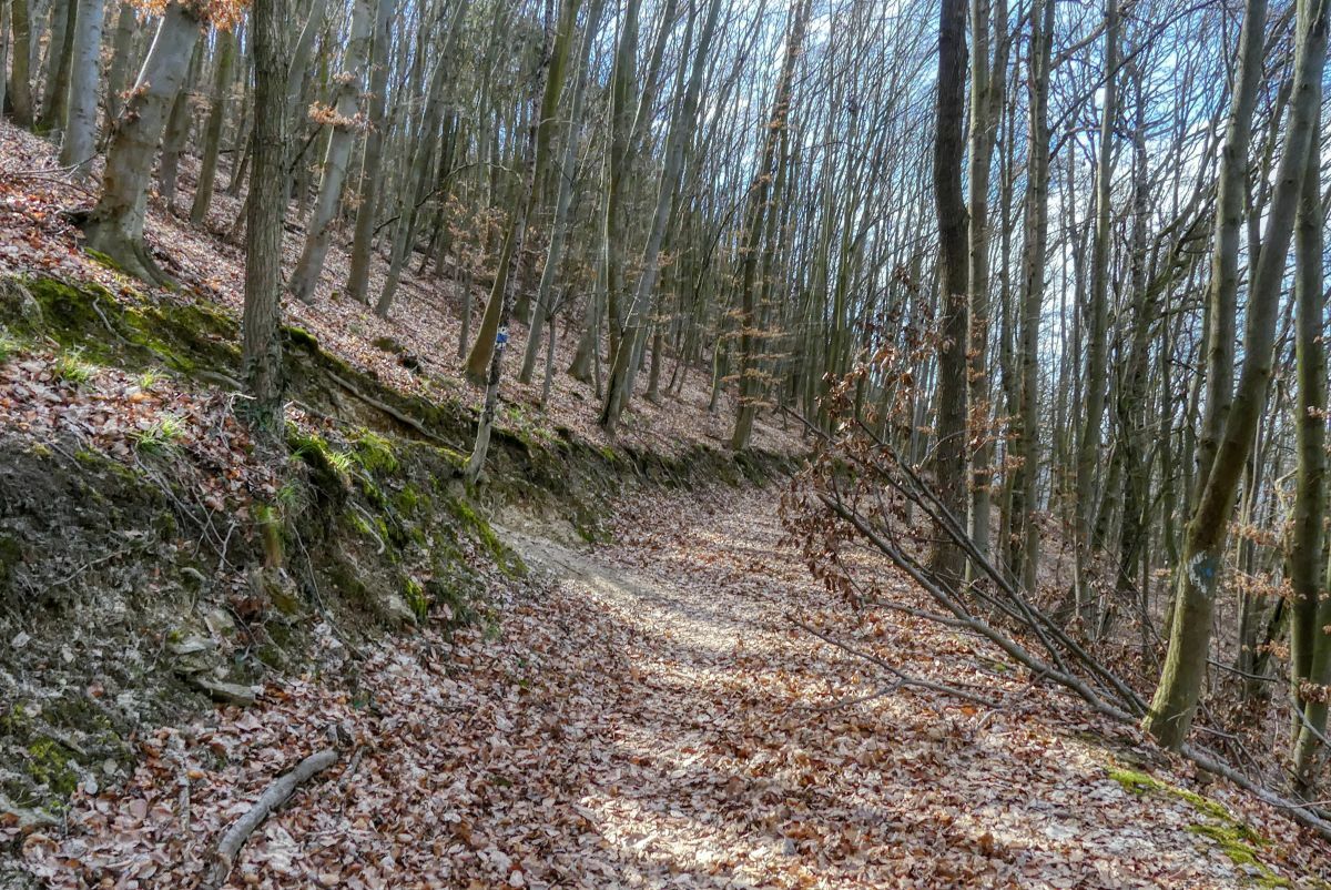
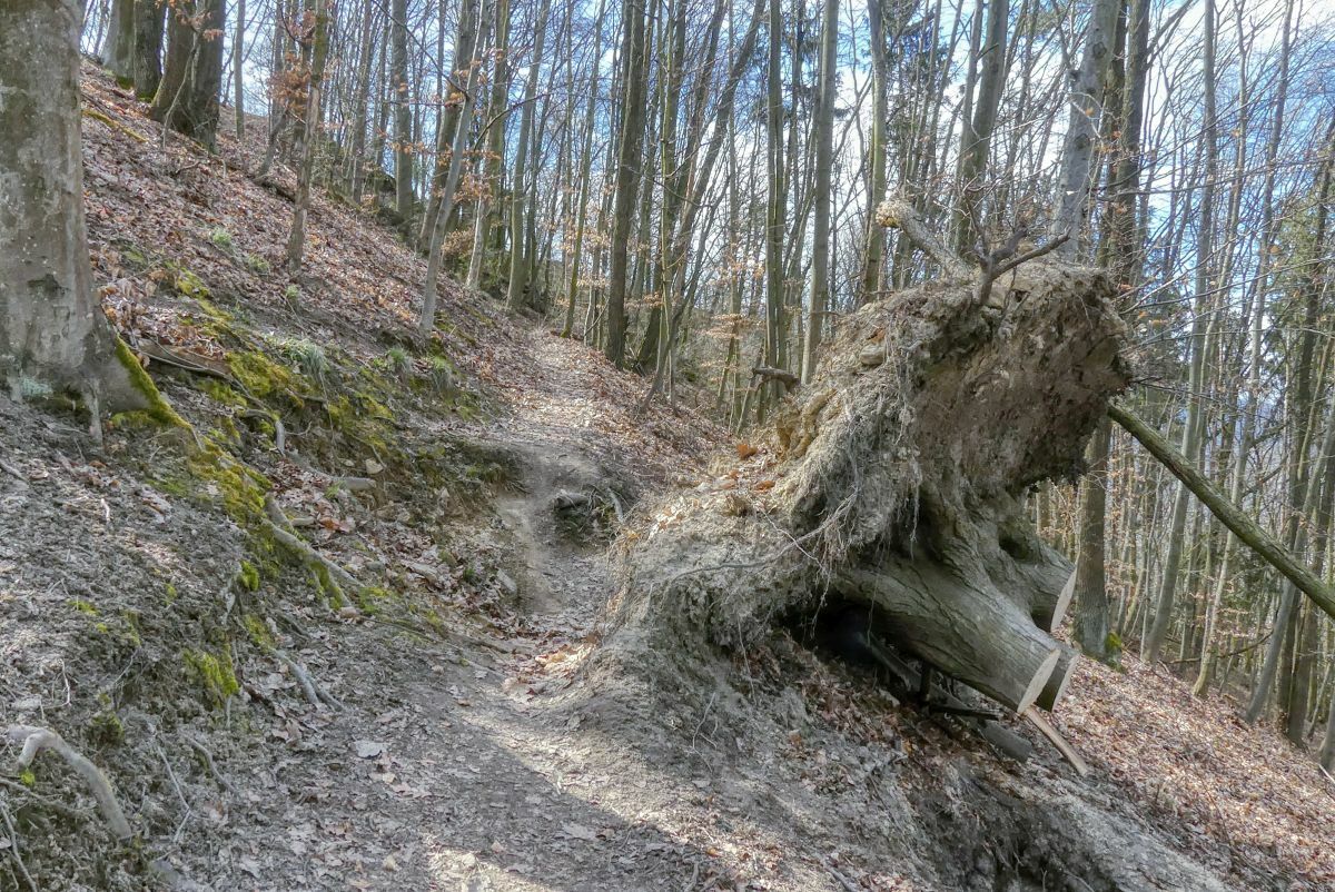
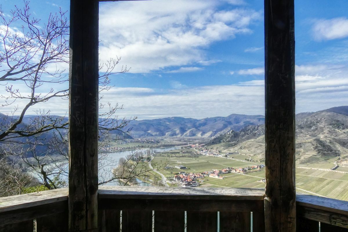
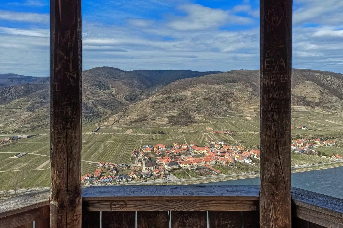
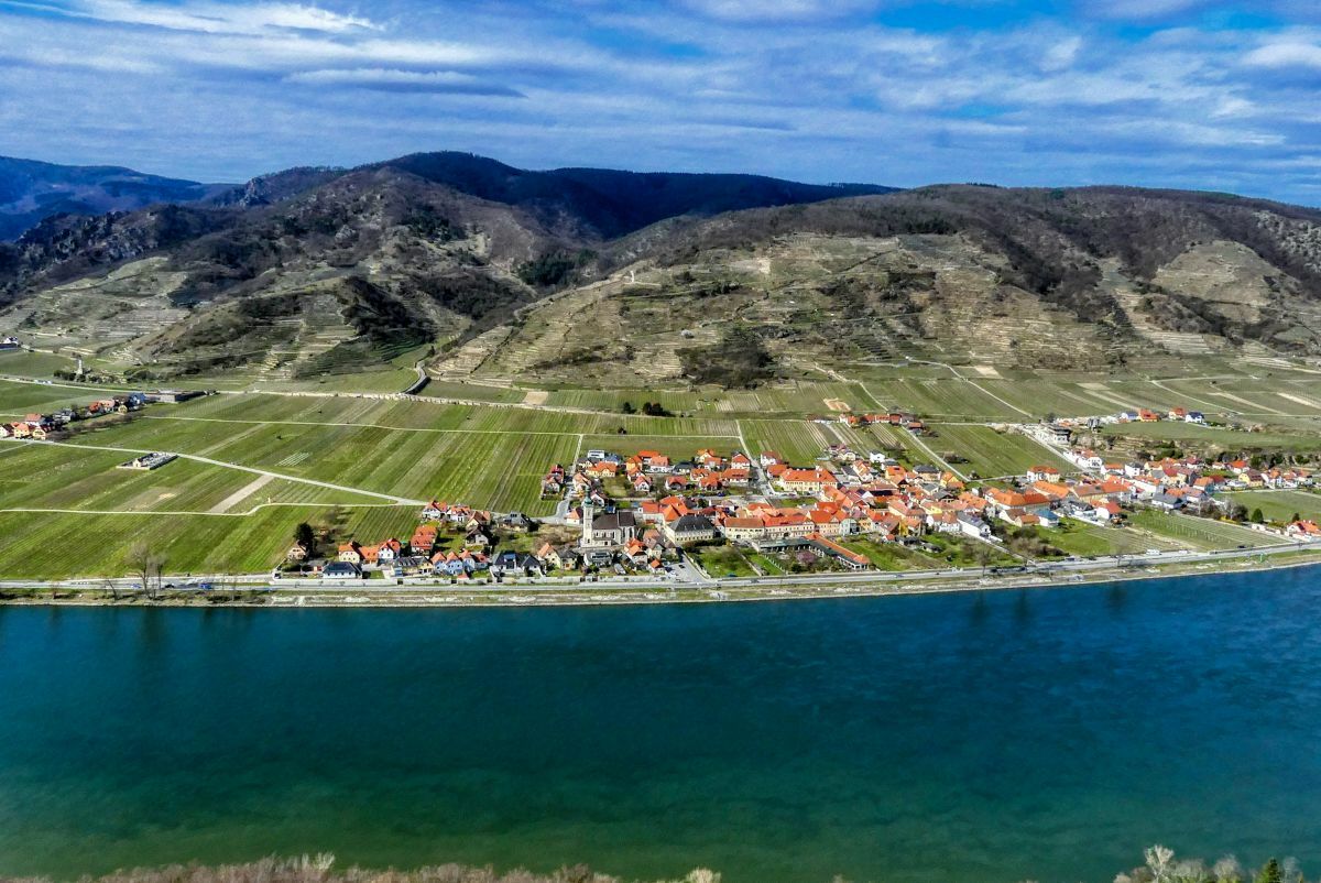
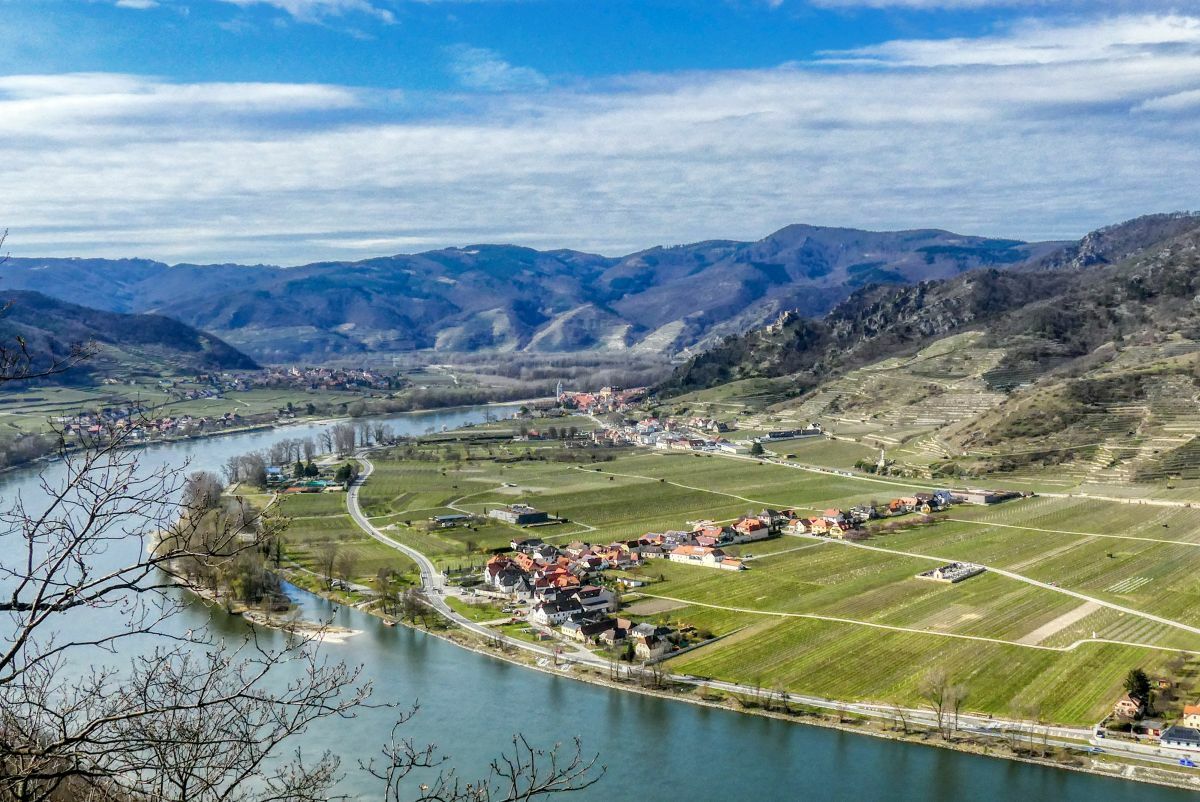
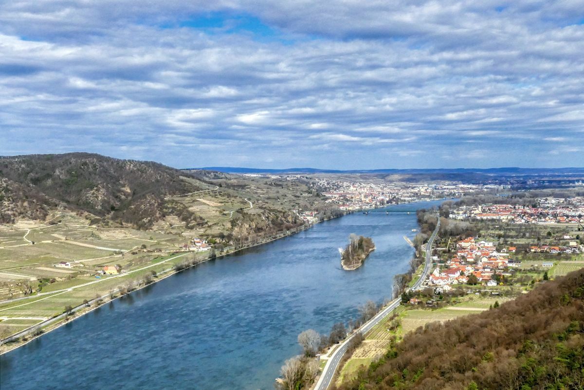
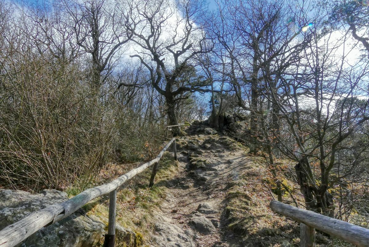
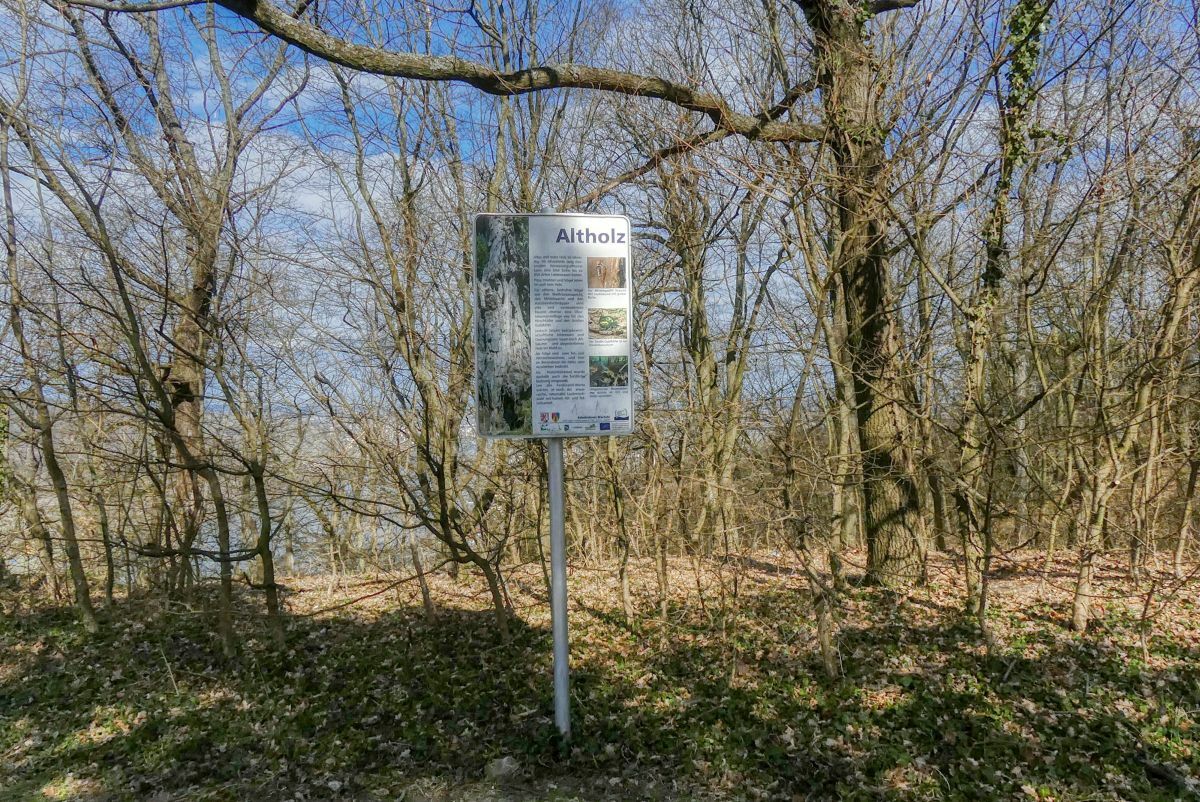
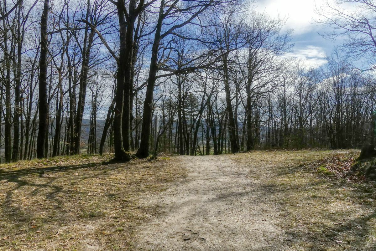
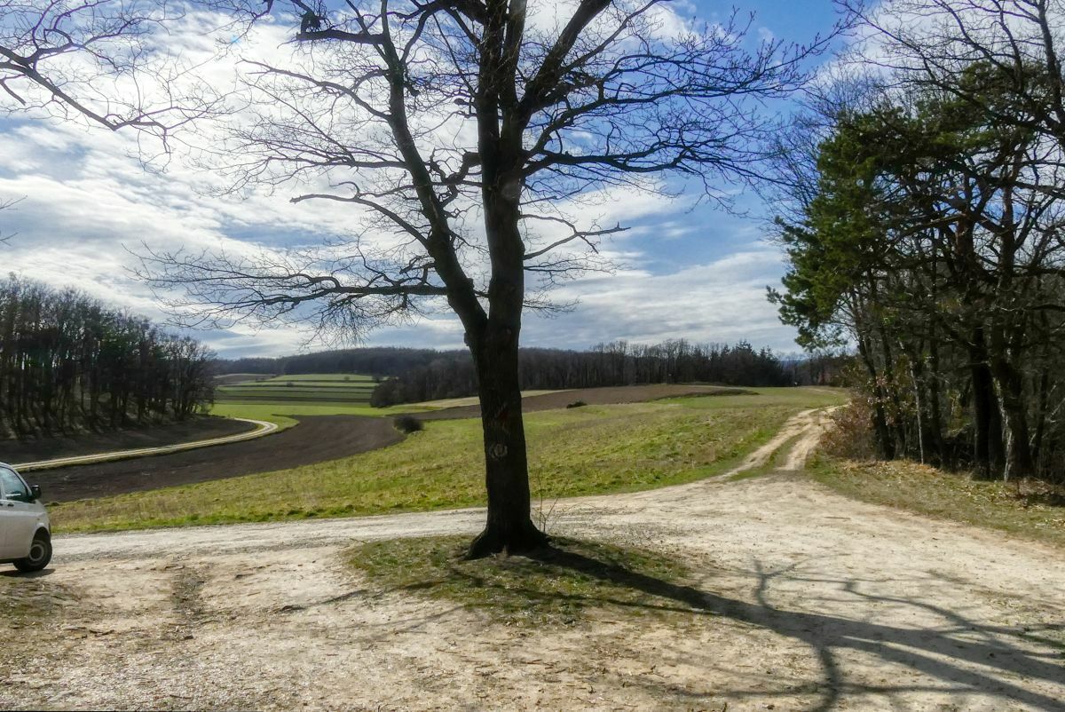
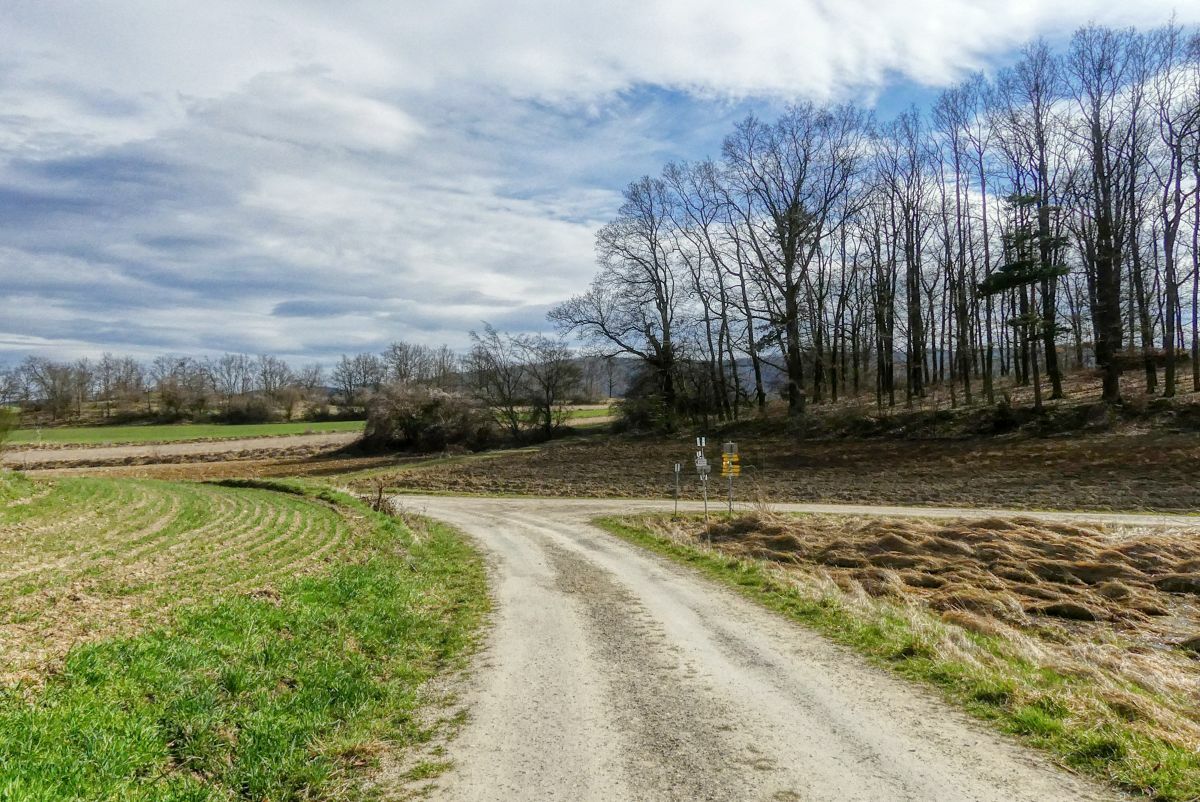
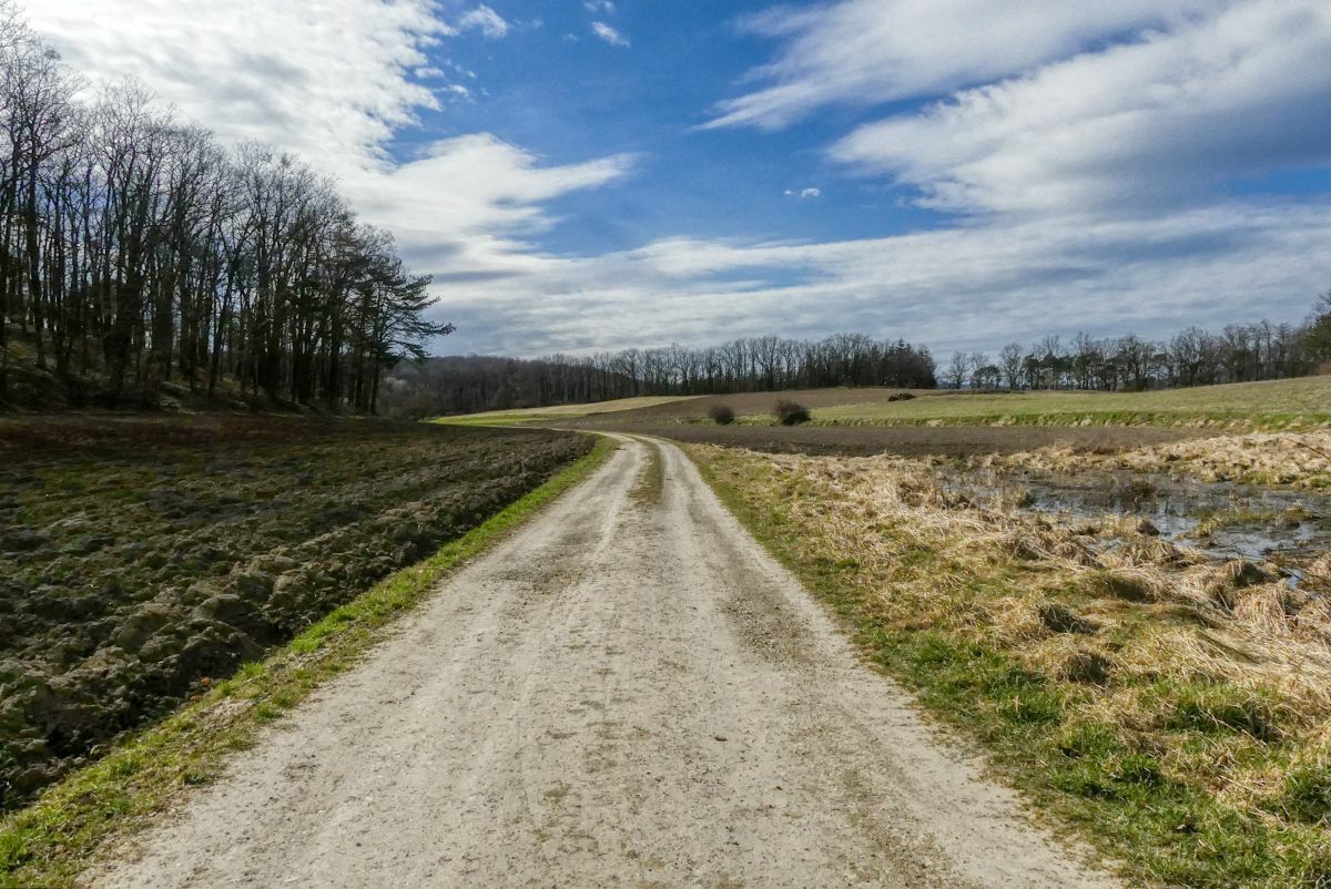
Eine zweistündige Rundwanderung von Unterbergern über die Donauleiten und die Ferdinandwarte.
- Dificultad
-
medio
- Valoración
-
- Punto de salida
-
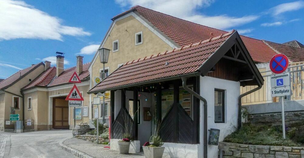
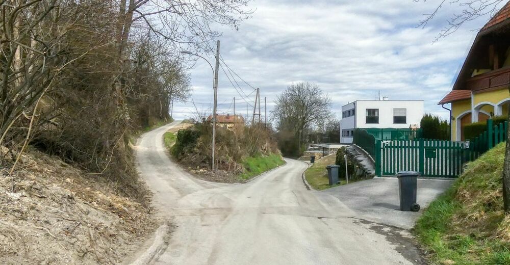
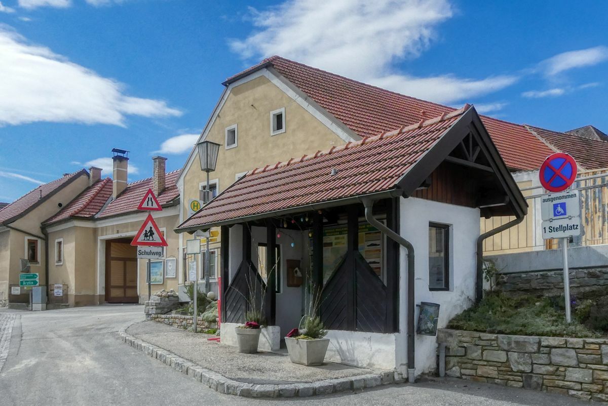
Bushaltestelle Unterbergern - Ortsmitte
- Ruta
-
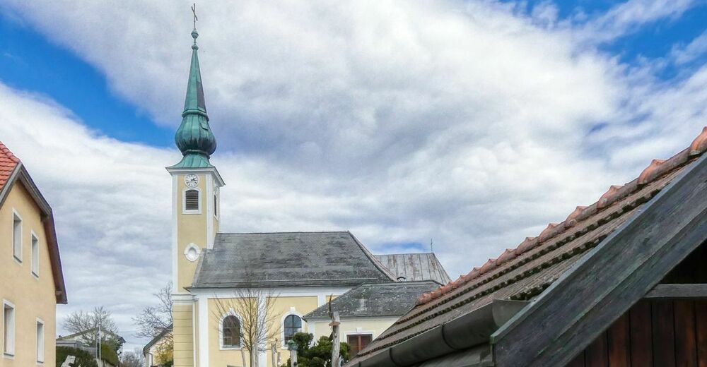
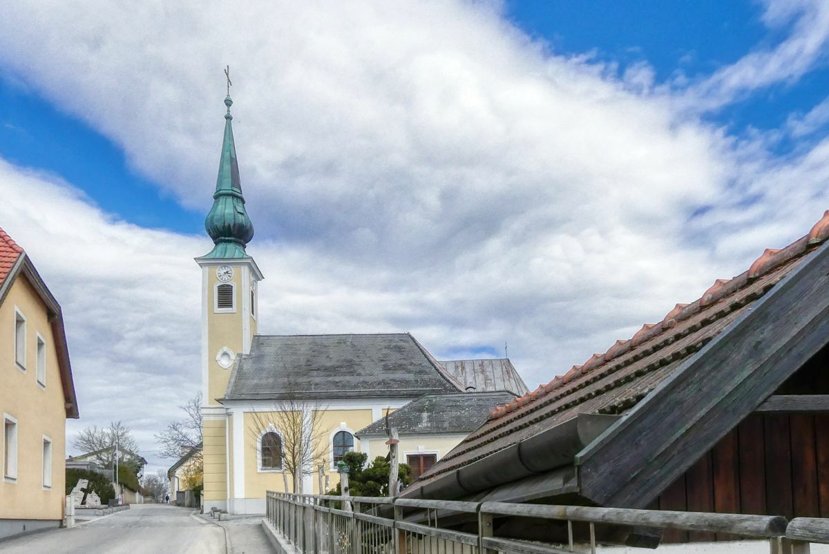
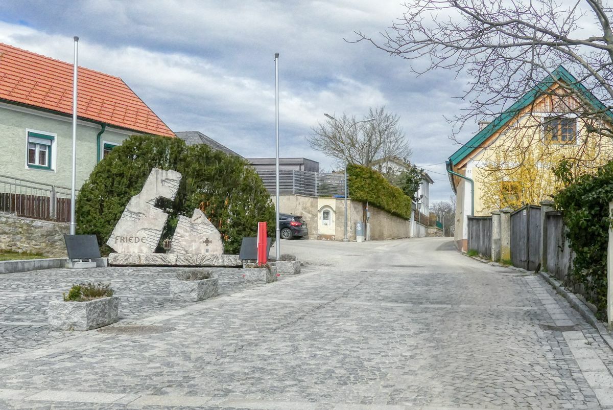
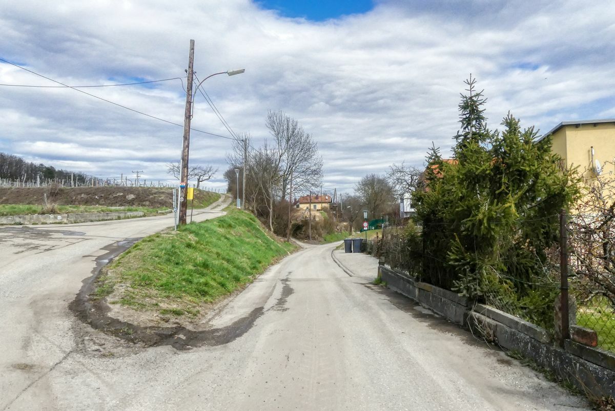
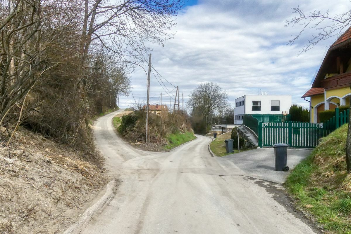
Unterbergern0,0 kmPfarrkirche hl. Johannes Nepomuk0,1 kmHundsheim1,2 km
- La mejor temporada
-
enefebmarabrmayjunjulagosepoctnovdic
- Punto álgido
- 392 m
- Punto final
-
Bushaltestelle Unterbergern - Ortsmitte
- Fuente
- Weinbergwandern.at
GPS Downloads


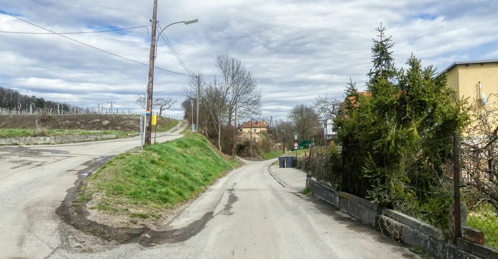
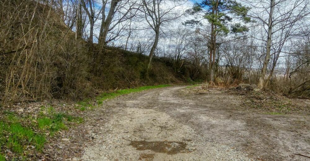
Superficie de carretera
Asfalto
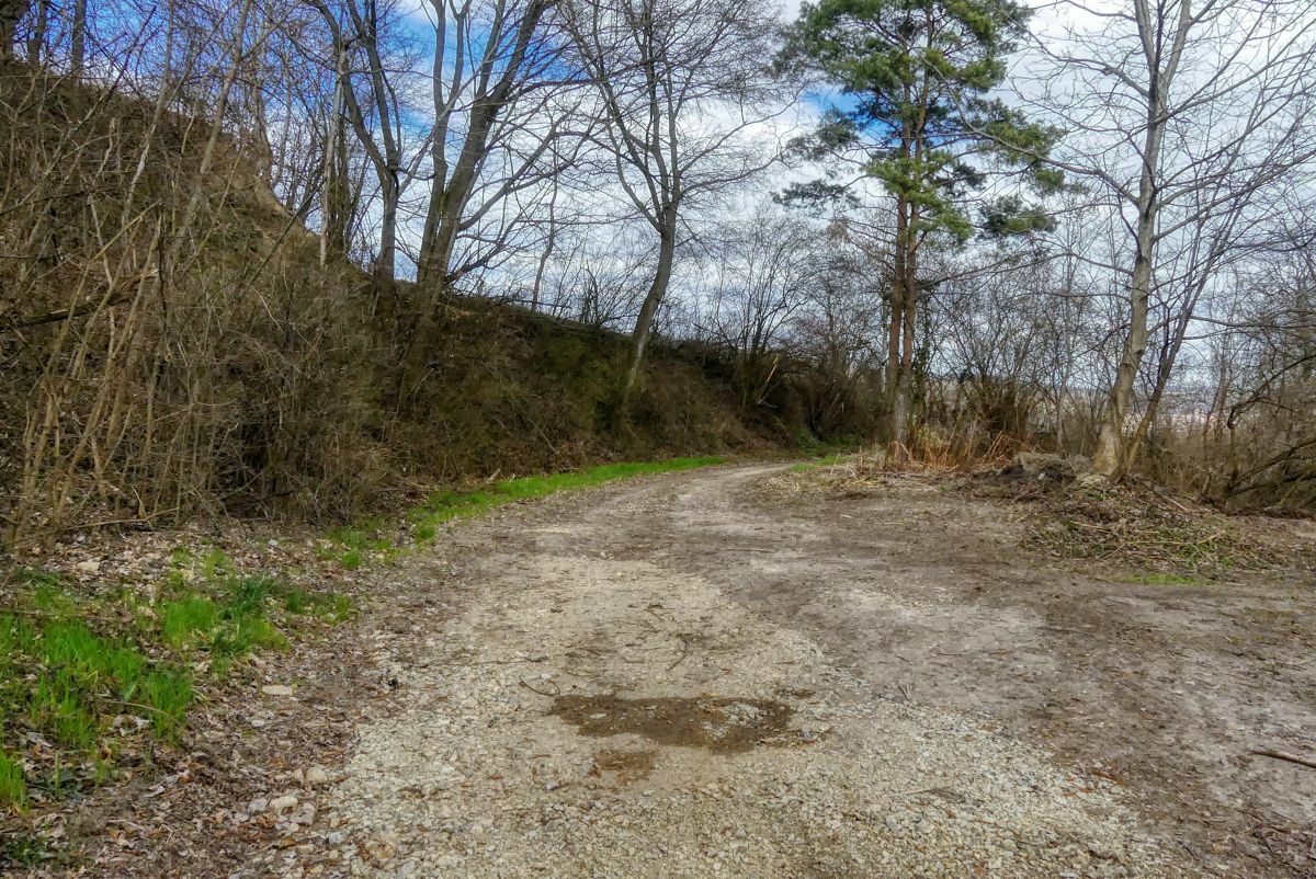
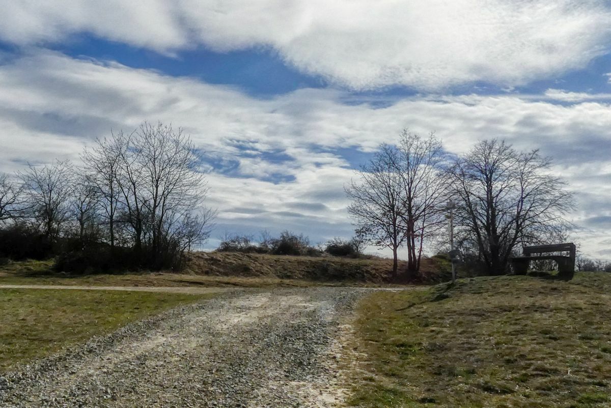
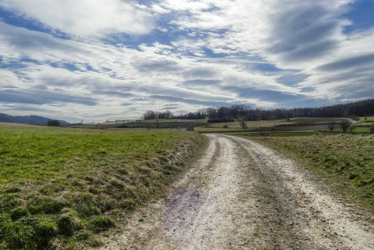
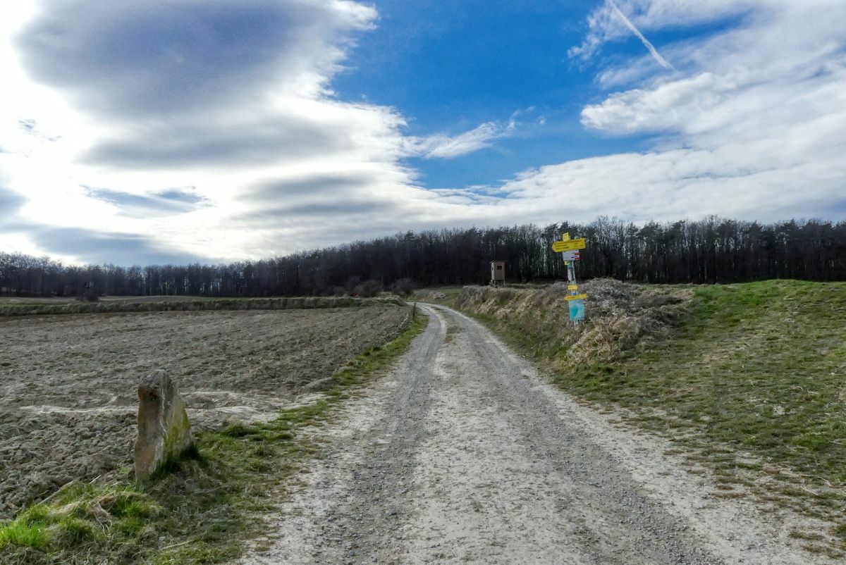
Gravilla
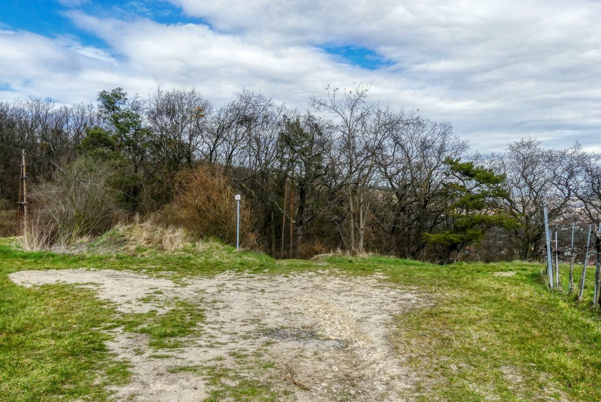
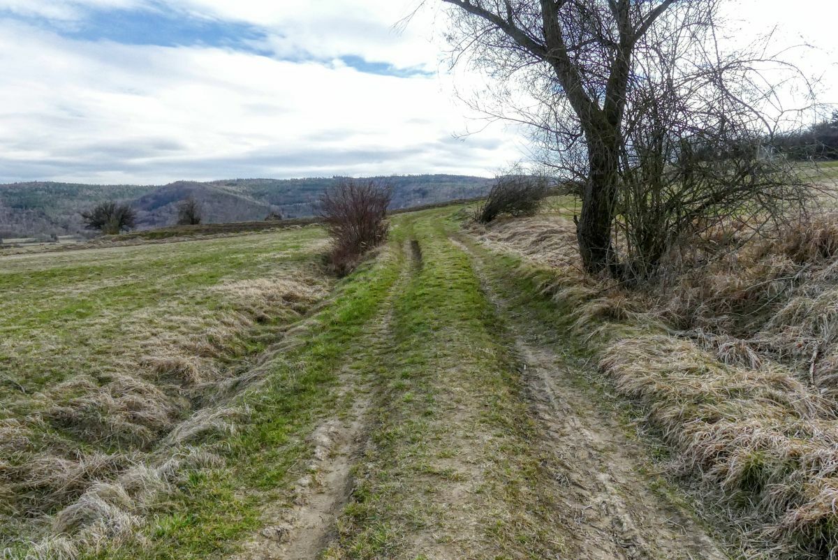
Pradera
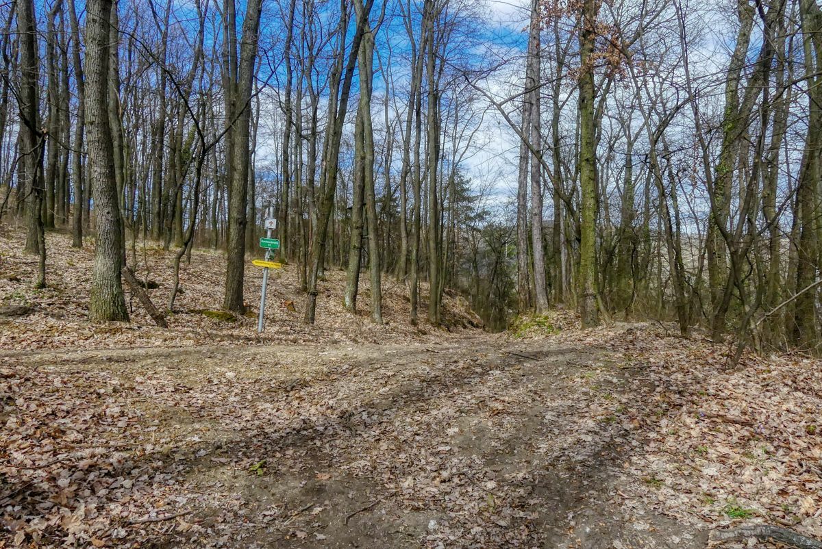
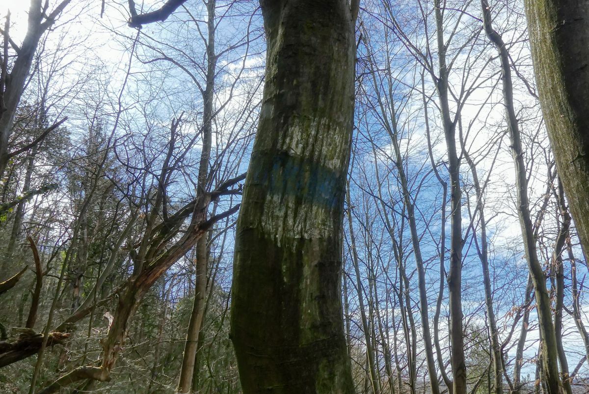
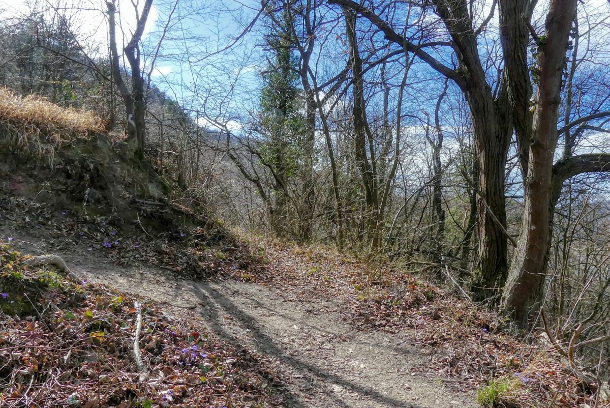
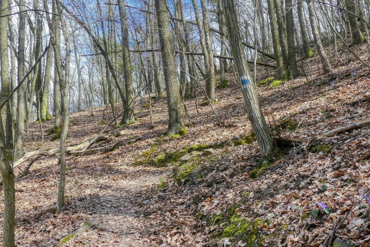
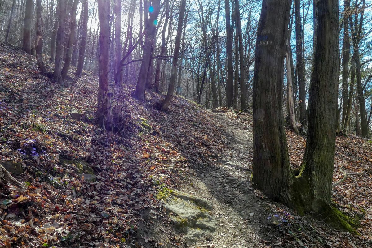
Bosque
Roca
Expuesto
Más circuitos por las regiones


