
© Radler-Rast - Frau Mag. Brigitte Pamperl
© Radler-Rast - Frau Mag. Brigitte Pamperl
© Radler-Rast - Frau Mag. Brigitte Pamperl
© Radler-Rast - Frau Mag. Brigitte Pamperl
© Radler-Rast - Dr. Otto Schlappack
© Radler-Rast - Frau Mag. Brigitte Pamperl

© Radler-Rast - Frau Mag. Brigitte Pamperl
© Radler-Rast - Frau Mag. Brigitte Pamperl
© Radler-Rast - Frau Mag. Brigitte Pamperl
© Radler-Rast - Frau Mag. Brigitte Pamperl
- Breve descripción
-
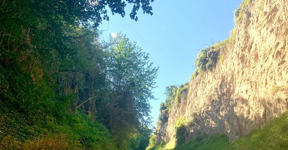
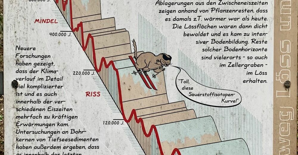
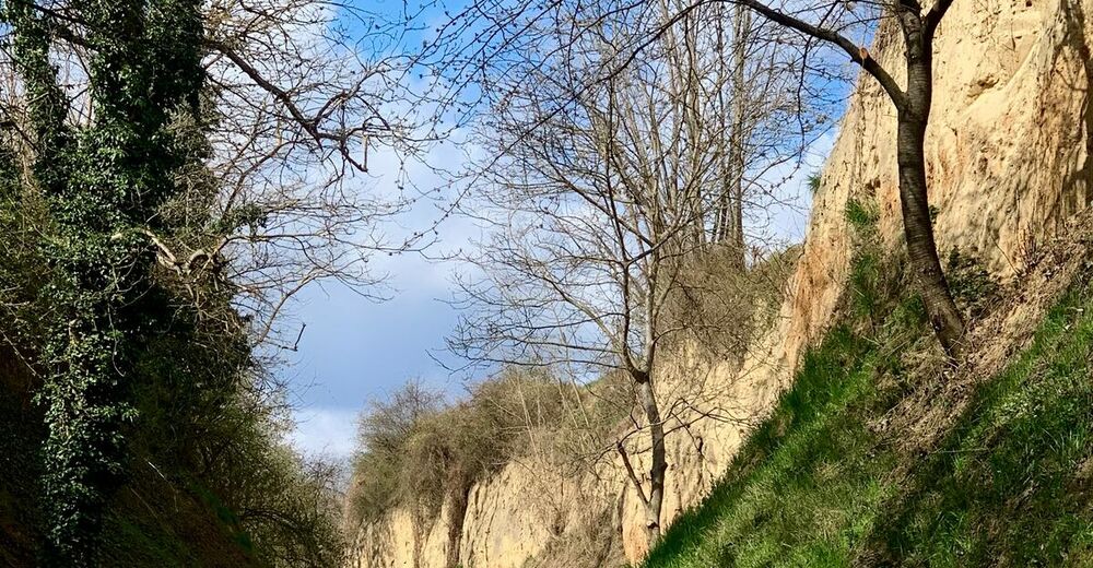
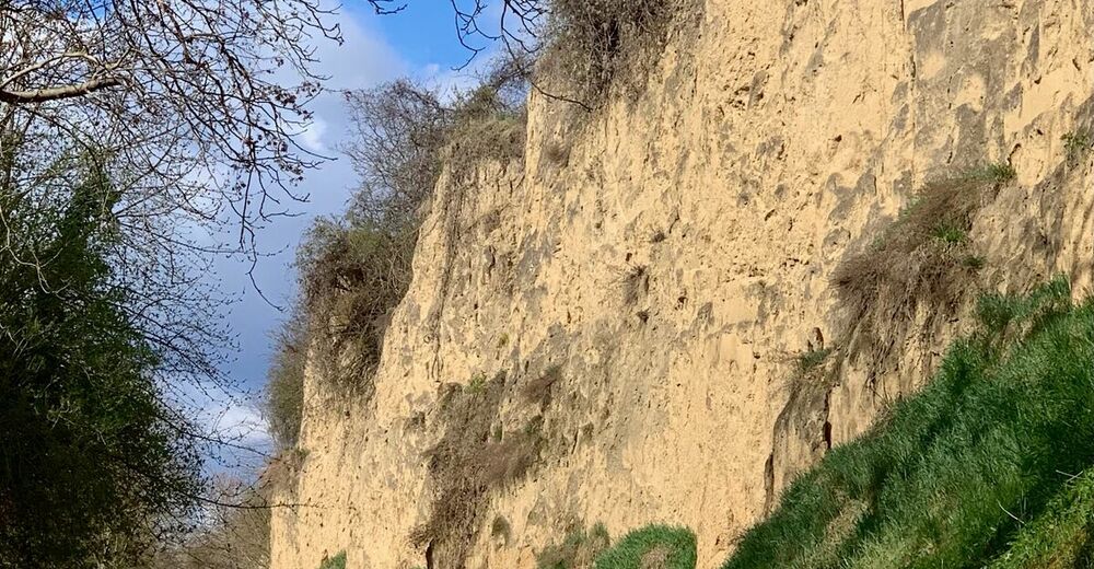
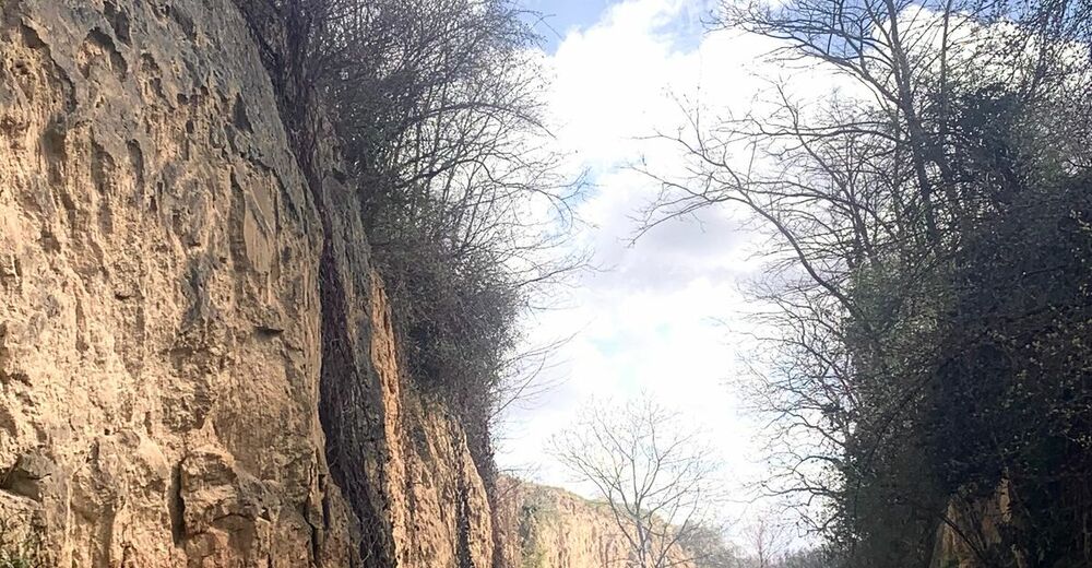
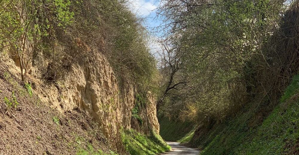
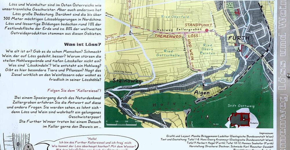
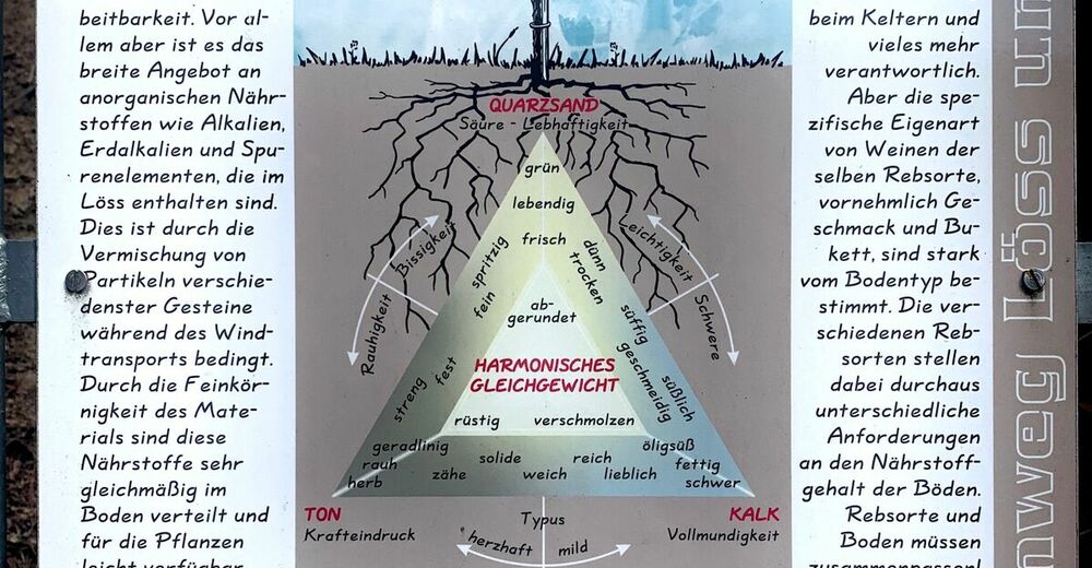
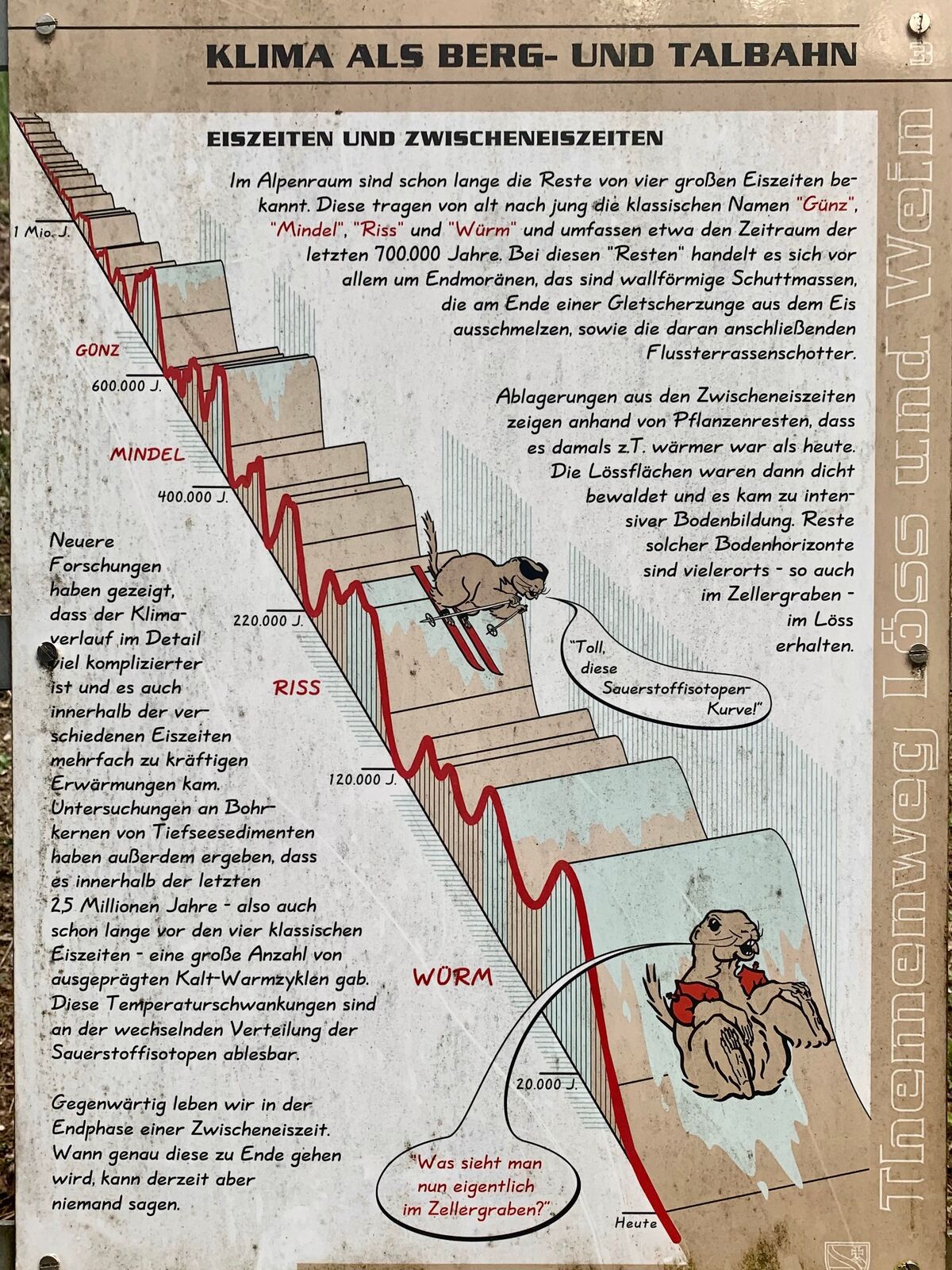
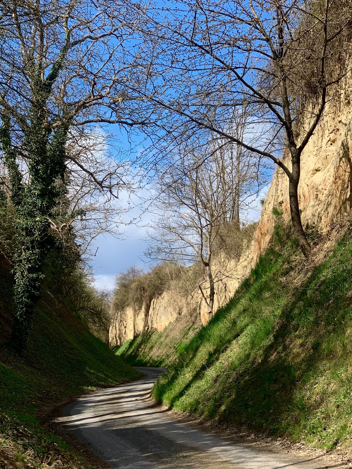
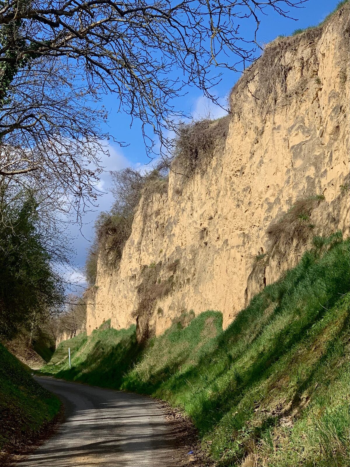
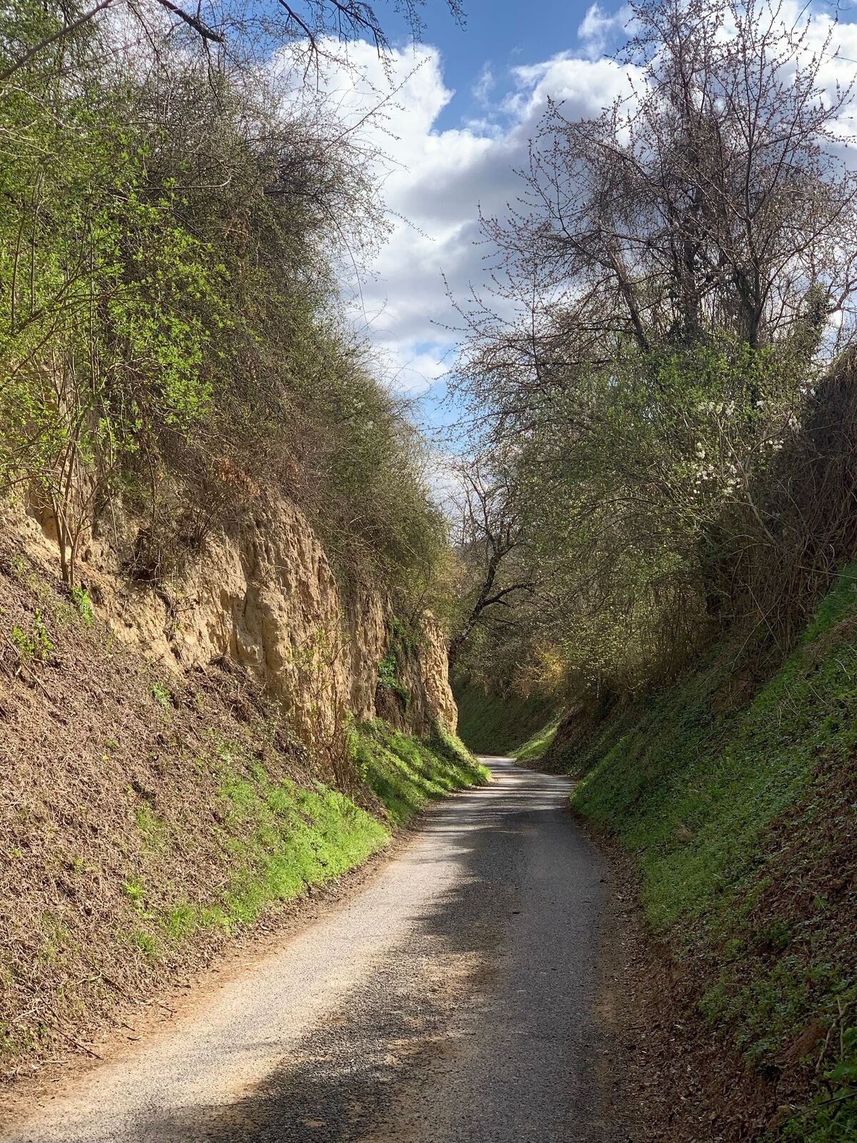
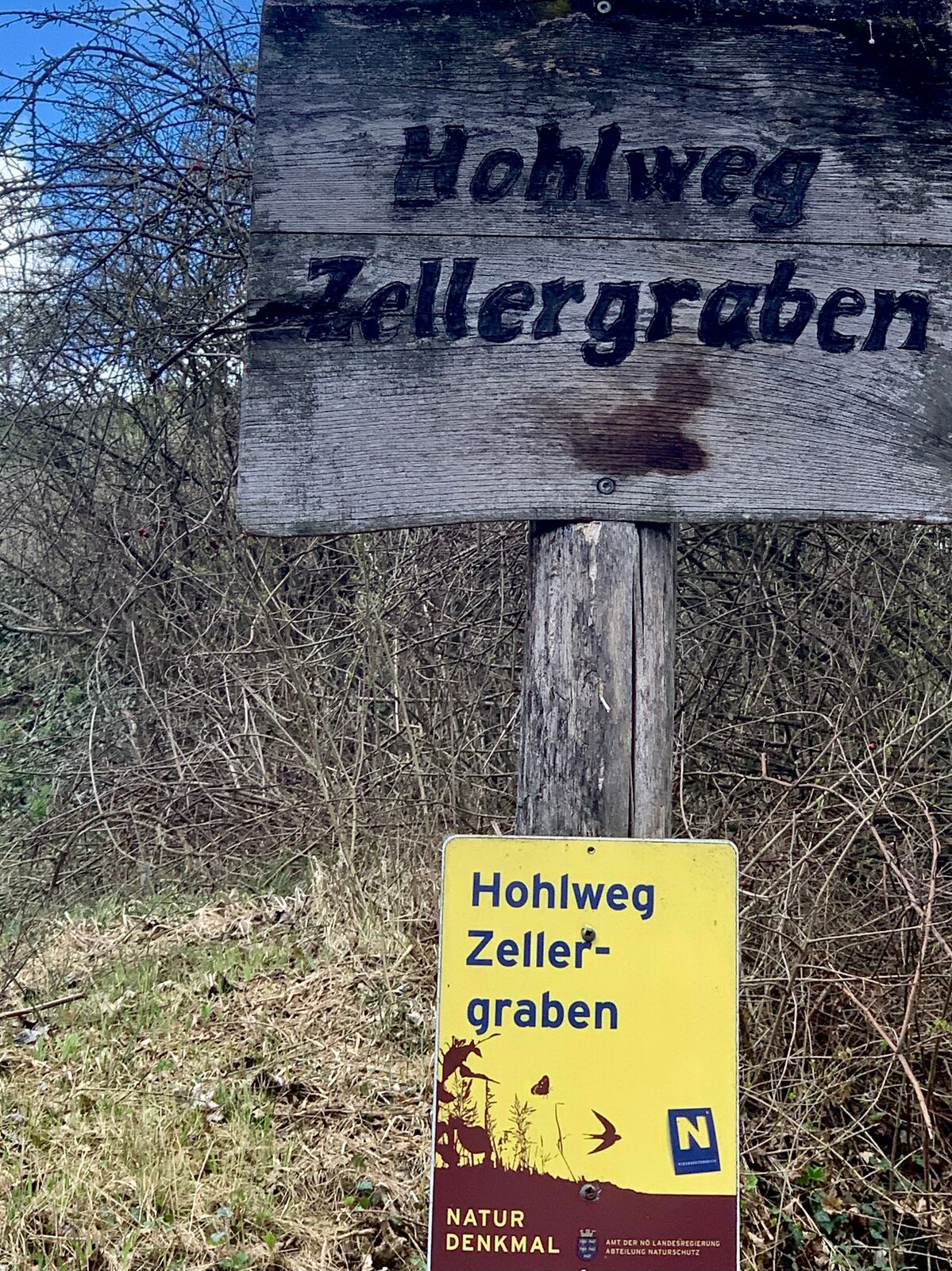
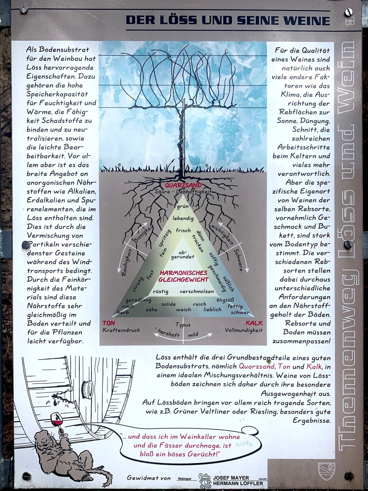
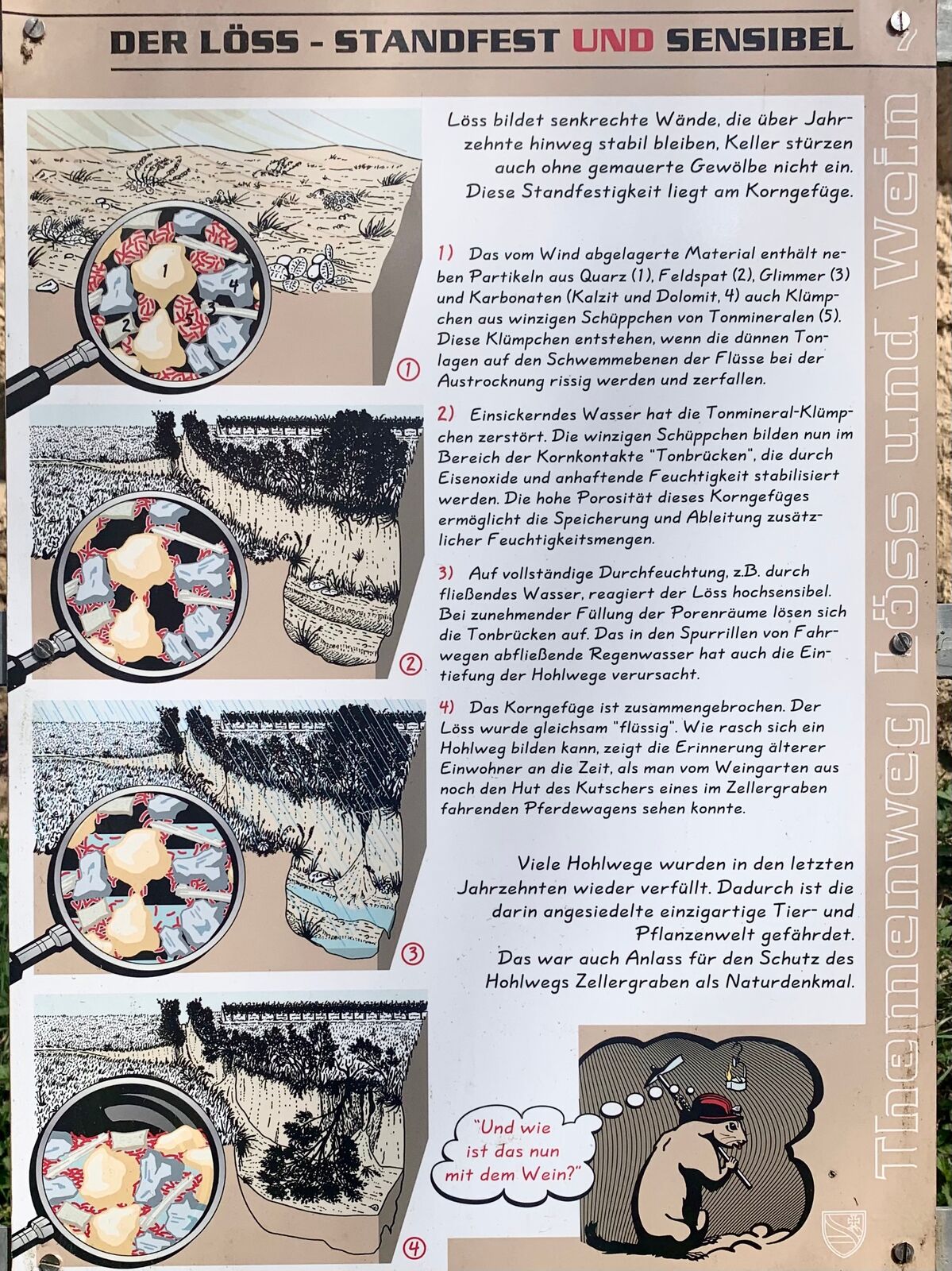
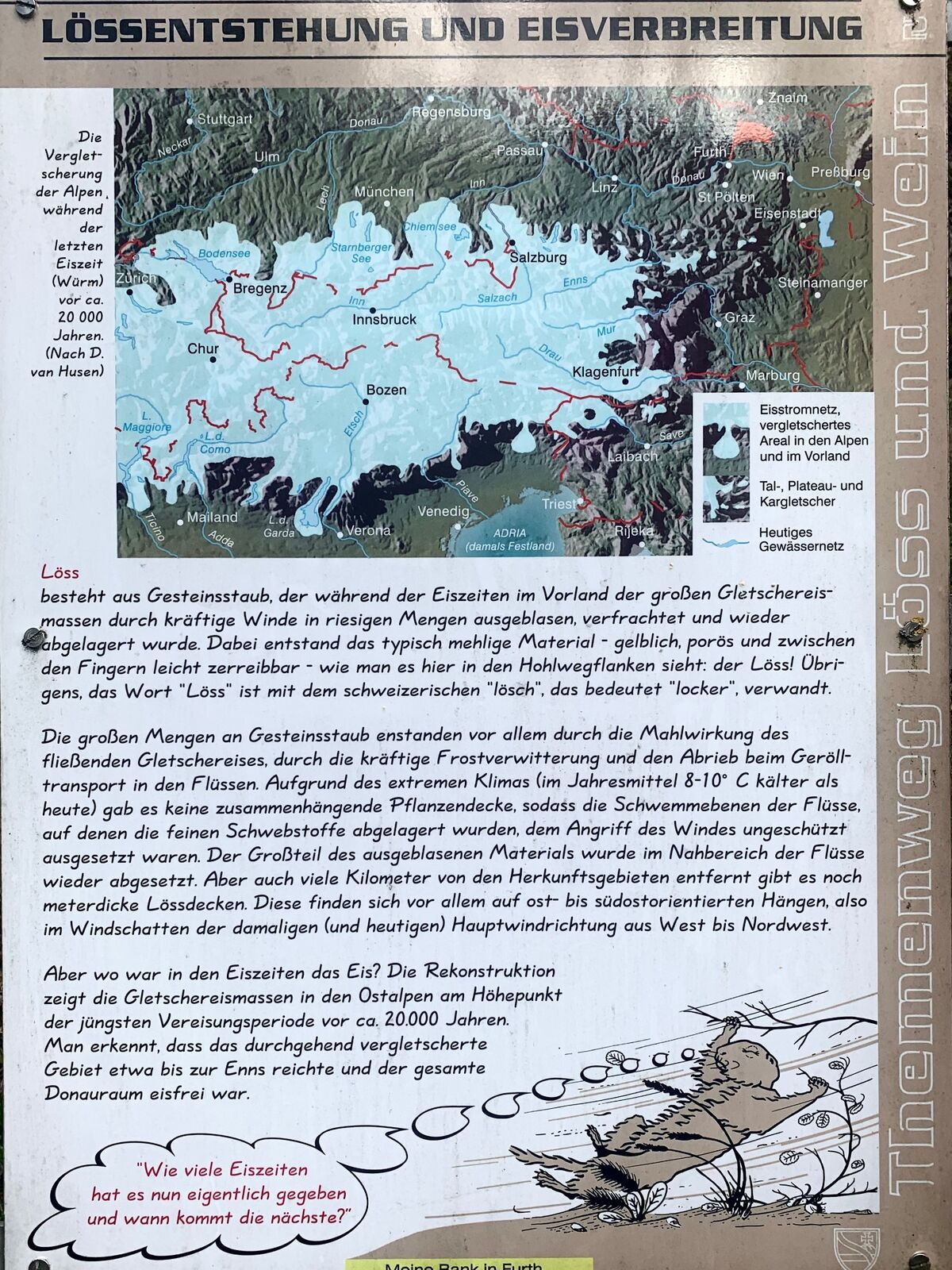
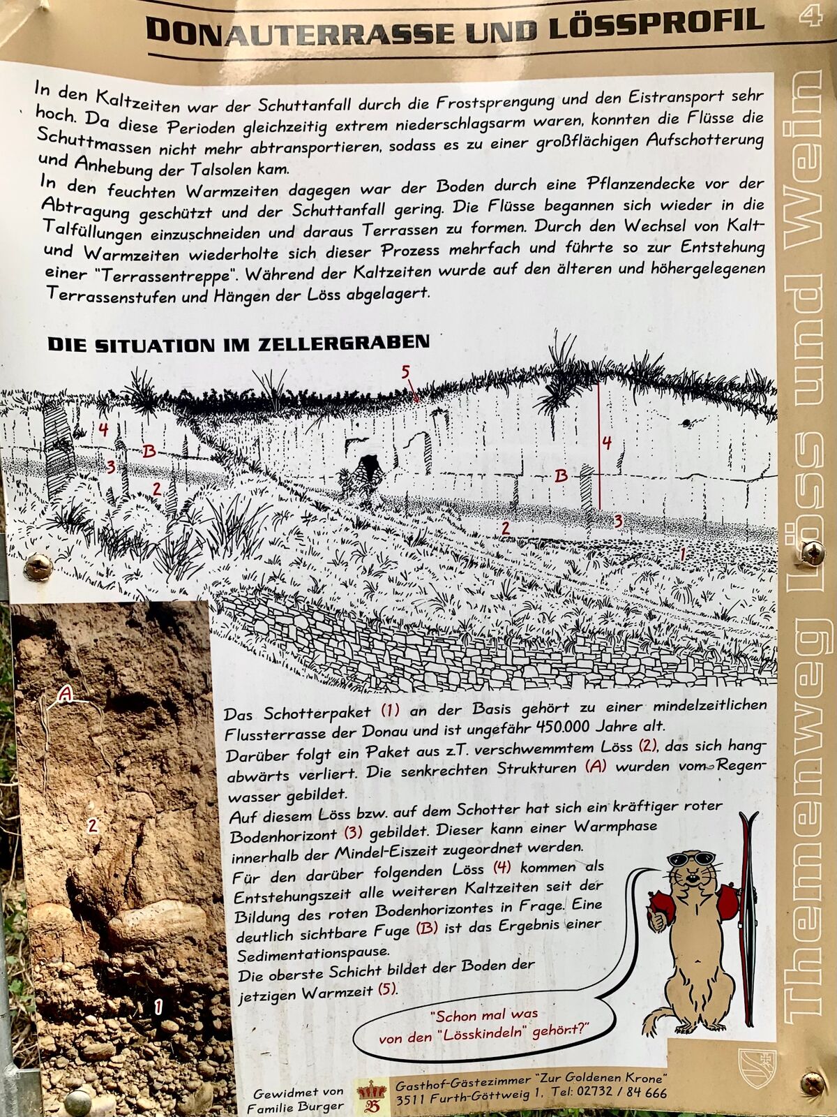
From the ravine in the Zellergraben steep loess walls rise to the left and right. Information boards along the way describe the origin of the loess as a result of the Ice Age and its soil properties.
- Dificultad
-
fácil
- Valoración
-
- Ruta
-
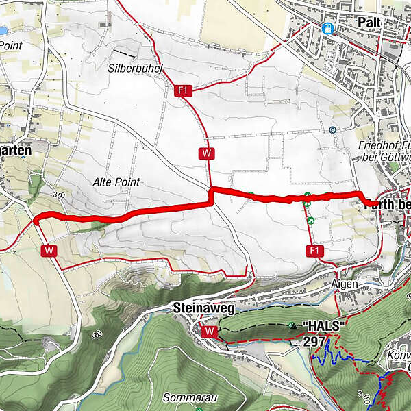
Baumgarten0,0 kmWeinbau Teufner2,2 kmFurth bei Göttweig2,3 kmBaumgarten4,8 km
- La mejor temporada
-
enefebmarabrmayjunjulagosepoctnovdic
- Punto álgido
- 331 m
- Punto final
-
At the Linden Tree in Baumgarten
- Perfil alto
-


-

-
AutorLa gira Zellergraben Hohlweg es utilizado por outdooractive.com proporcionado.
GPS Downloads


Más circuitos por las regiones
-
Donau Niederösterreich
2289
-
Dunkelsteinerwald
1373
-
Furth bei Göttweig
607


