


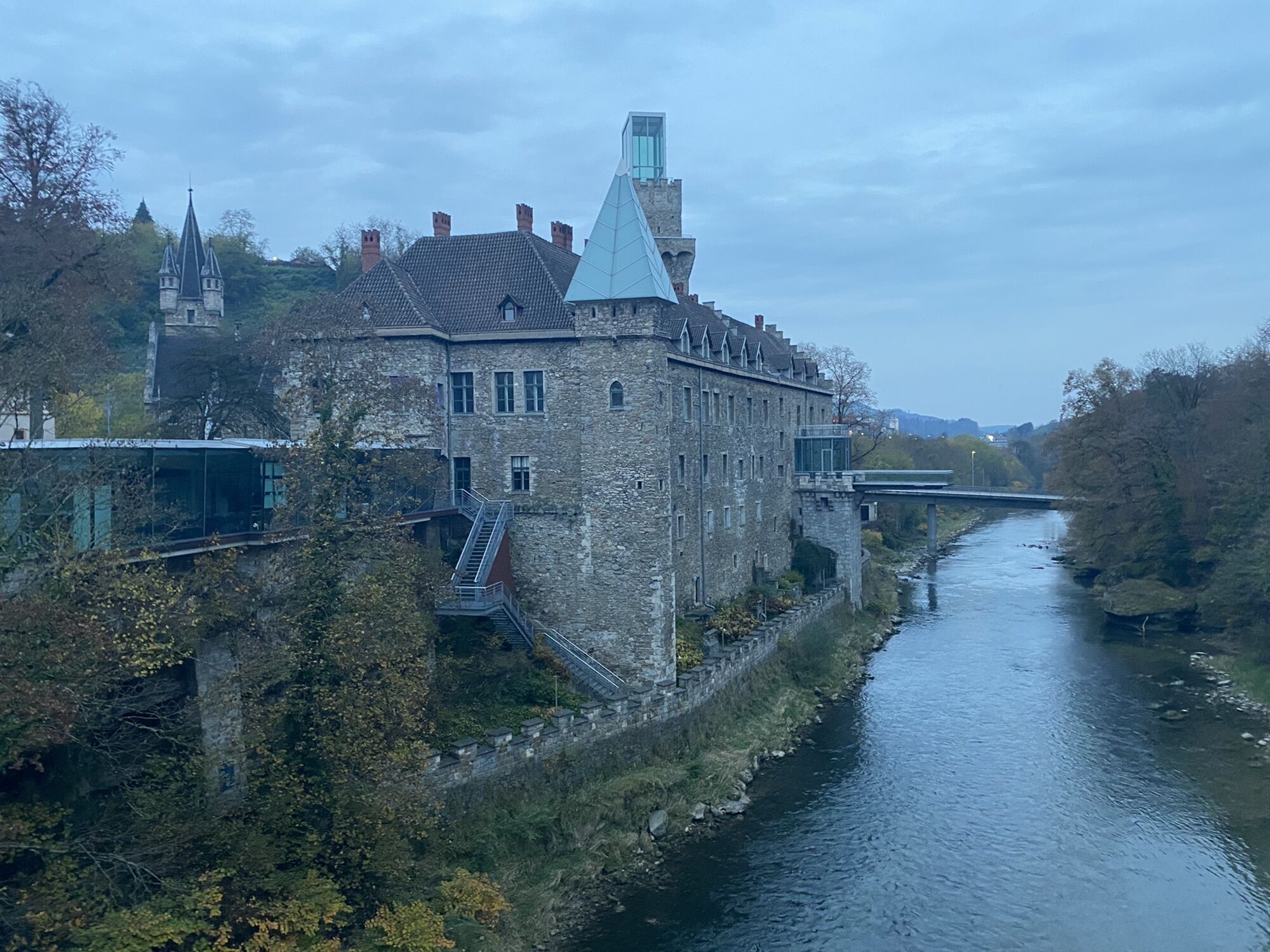
On the tracks of the Tour of Austria - panoramic ridge trail Sonntagberg

Here, where the Tour of Austria has already made several stops, amateur cyclists can compete with the pros! The 30km route starts in Waidhofen/Ybbs and leads up to the well-known Sonntagberg pilgrimage...
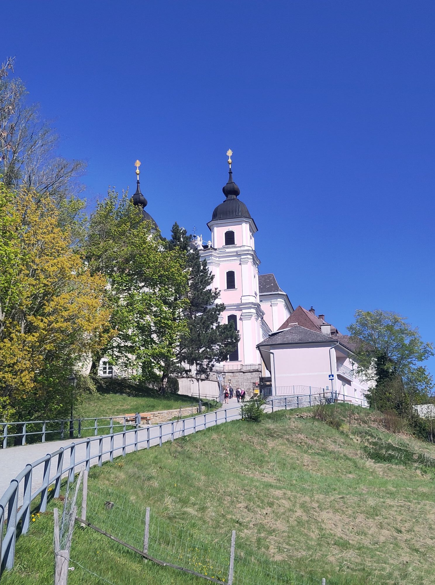
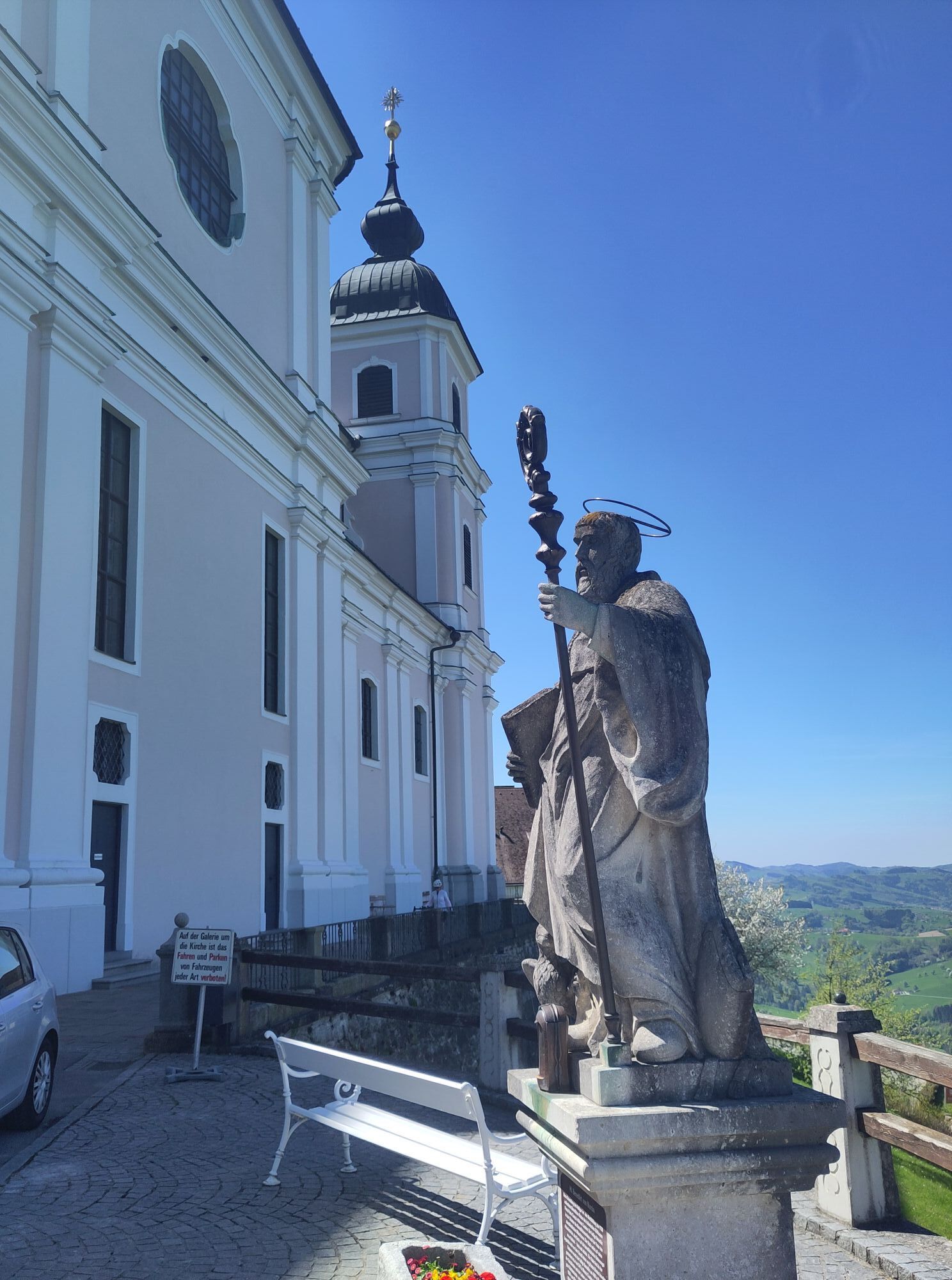
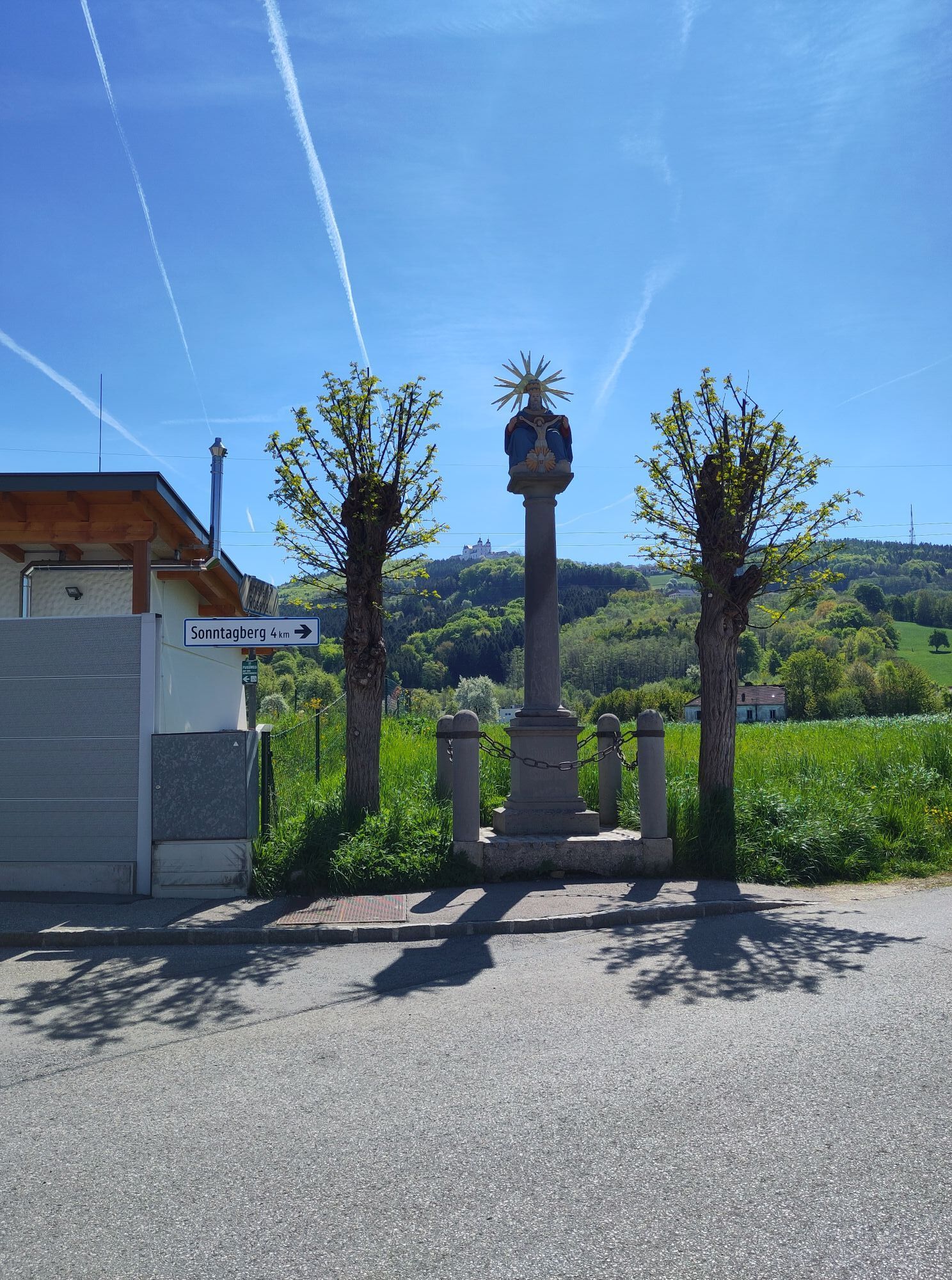
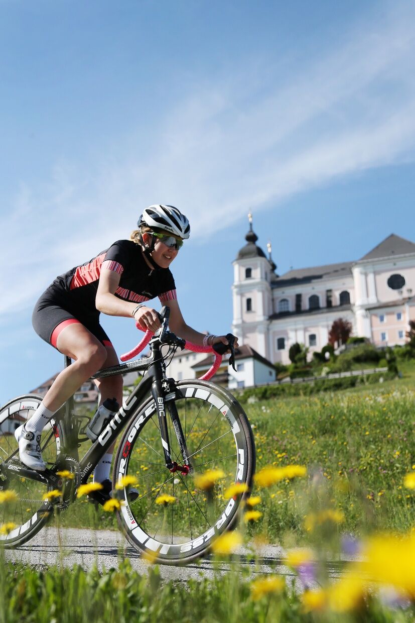
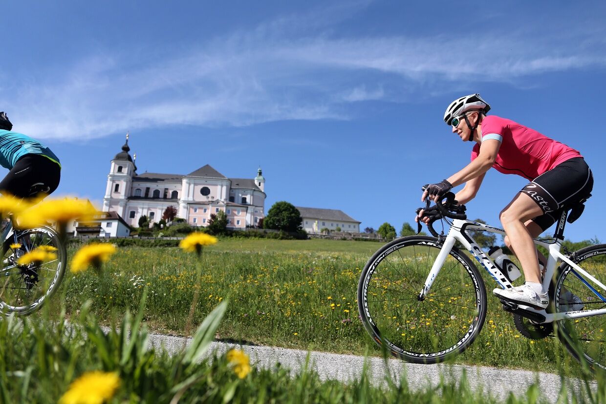
Here, where the Tour of Austria has already made several stops, amateur cyclists can compete with the pros! The 30km route starts in Waidhofen/Ybbs and leads up to the well-known Sonntagberg pilgrimage basilica (675m).
After a short photo break, the route continues in the footsteps of the pros along the panoramic high trail to St. Leonhard am Walde, then accompanied by beautiful scenery back down to the Ybbstal metropolis of Waidhofen an der Ybbs.
Despite the short distance, the attractive route has some challenging climbs and magnificent views to offer.
Speaking of which - the pros cycle the route several times in a row and complete the last 3km in the battle for the stage win in under 9 minutes!

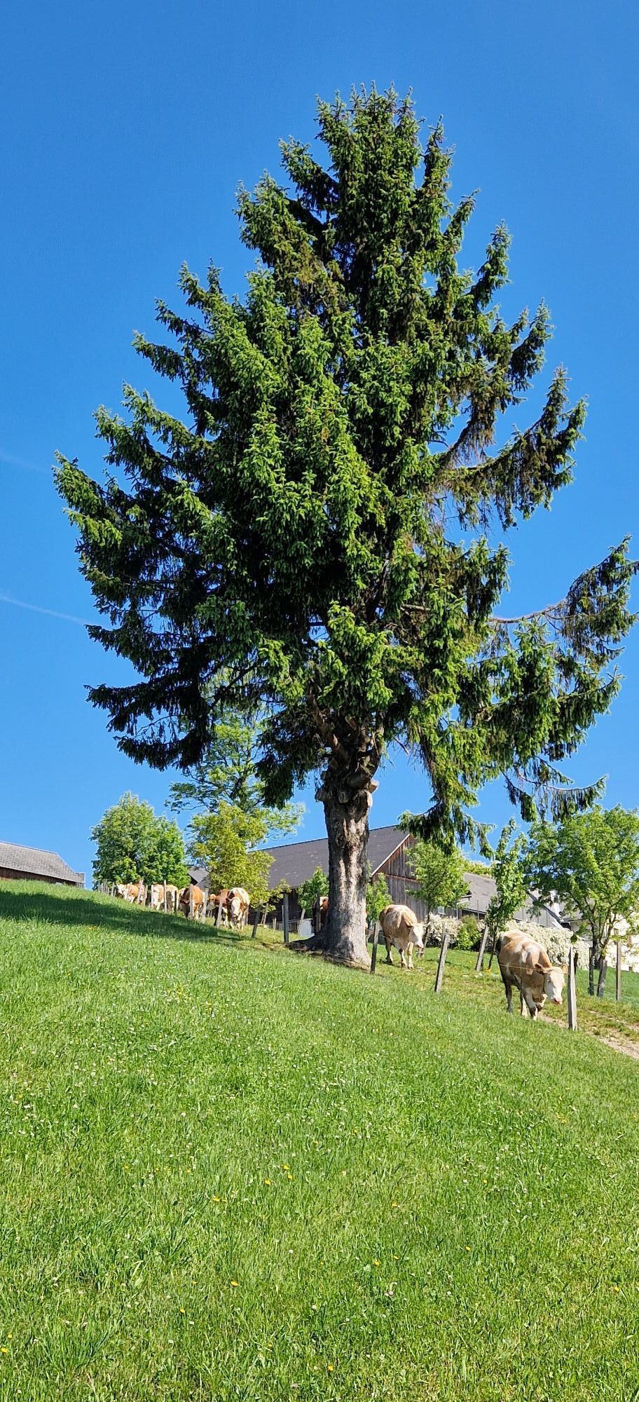
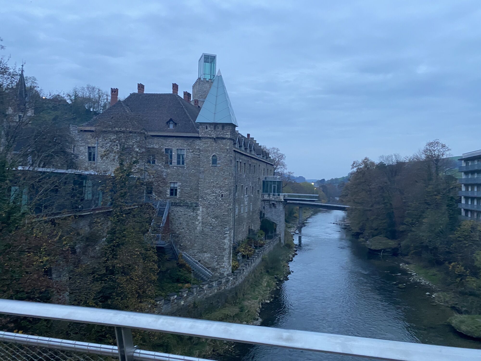
From the start in Waidhofen, you first ride flat along the Ybbstal cycle path downstream towards Amstetten. At the end of Böhlerwerk, turn slightly right onto the B121 and follow it for a little over 2 km. After the long straight, turn right into the village of Rosenau and sharply right in the middle of the main square towards the basilica. Attention - immediately after the curve, the road rises with a 16% gradient for 300 m -> shift gears before the curve!
Another short flat section before the 3 km long climb to the pilgrimage basilica begins next to the residential area. The first half of the climb, with a constant 10% gradient on a long straight with little shade, is already challenging; only after curve 3 does the road flatten out for a few meters. This short recovery should be used well - the last kilometer stands before you with up to 16% gradient and often direct sunlight - but the basilica is already close enough to touch. It gets really tough on the last 300 m over cobblestones, directly past the entrance to the church and no less steep!
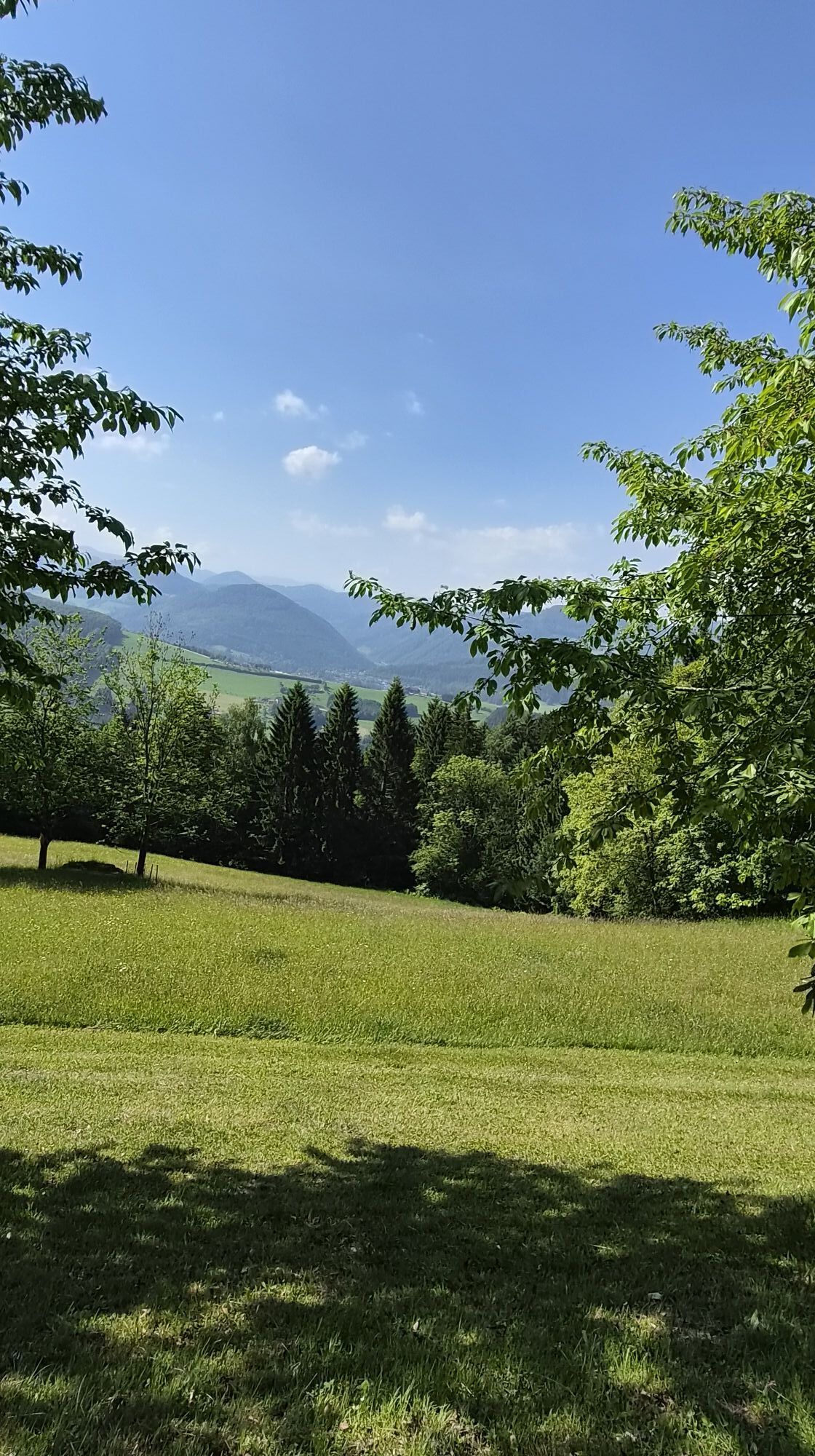
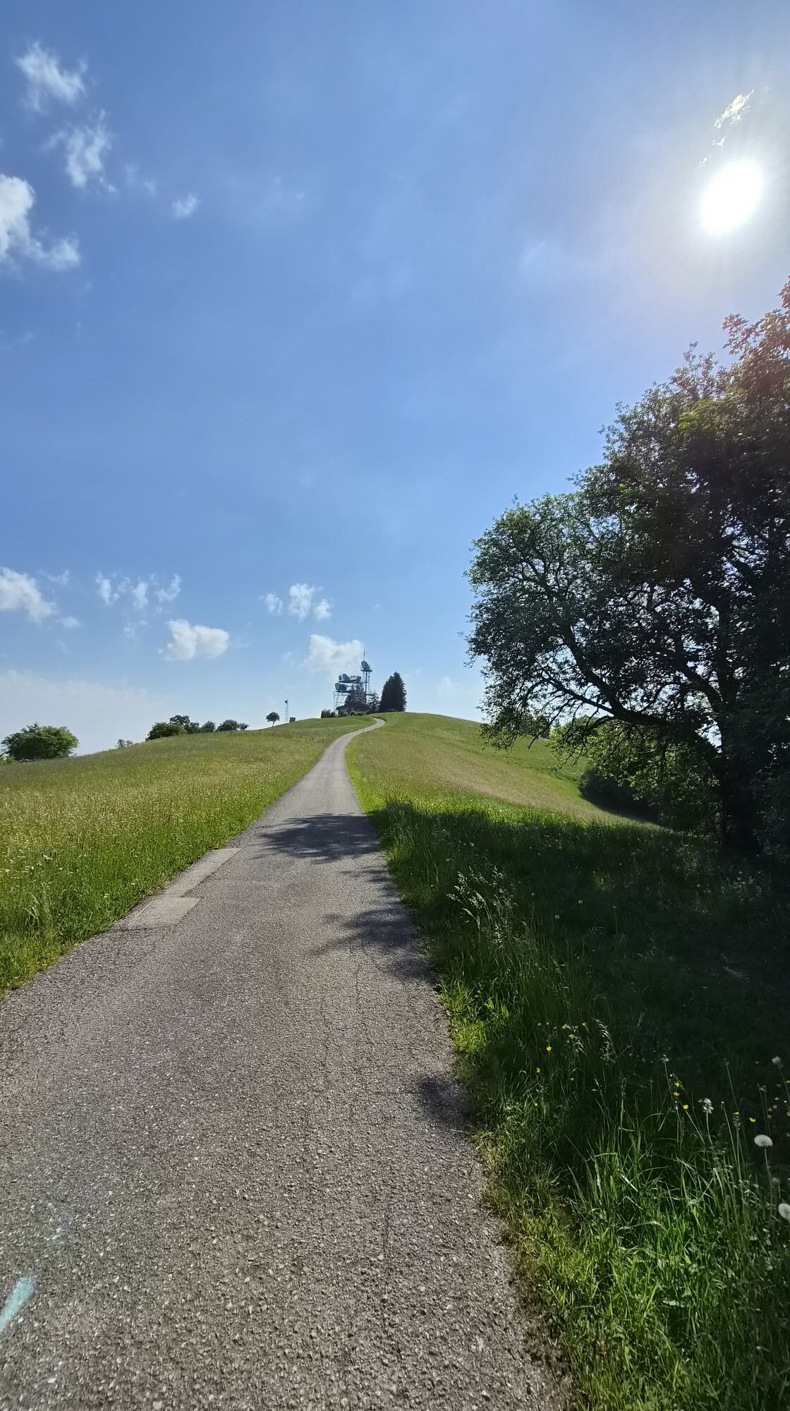
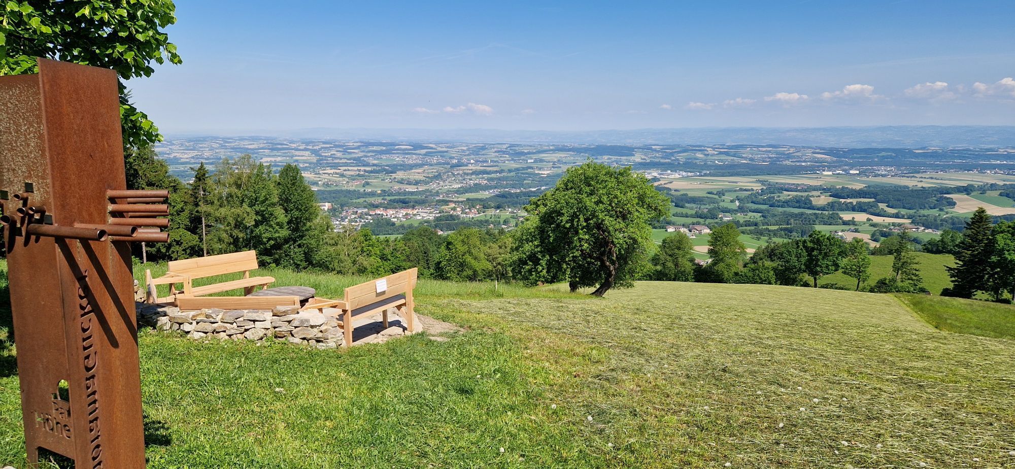
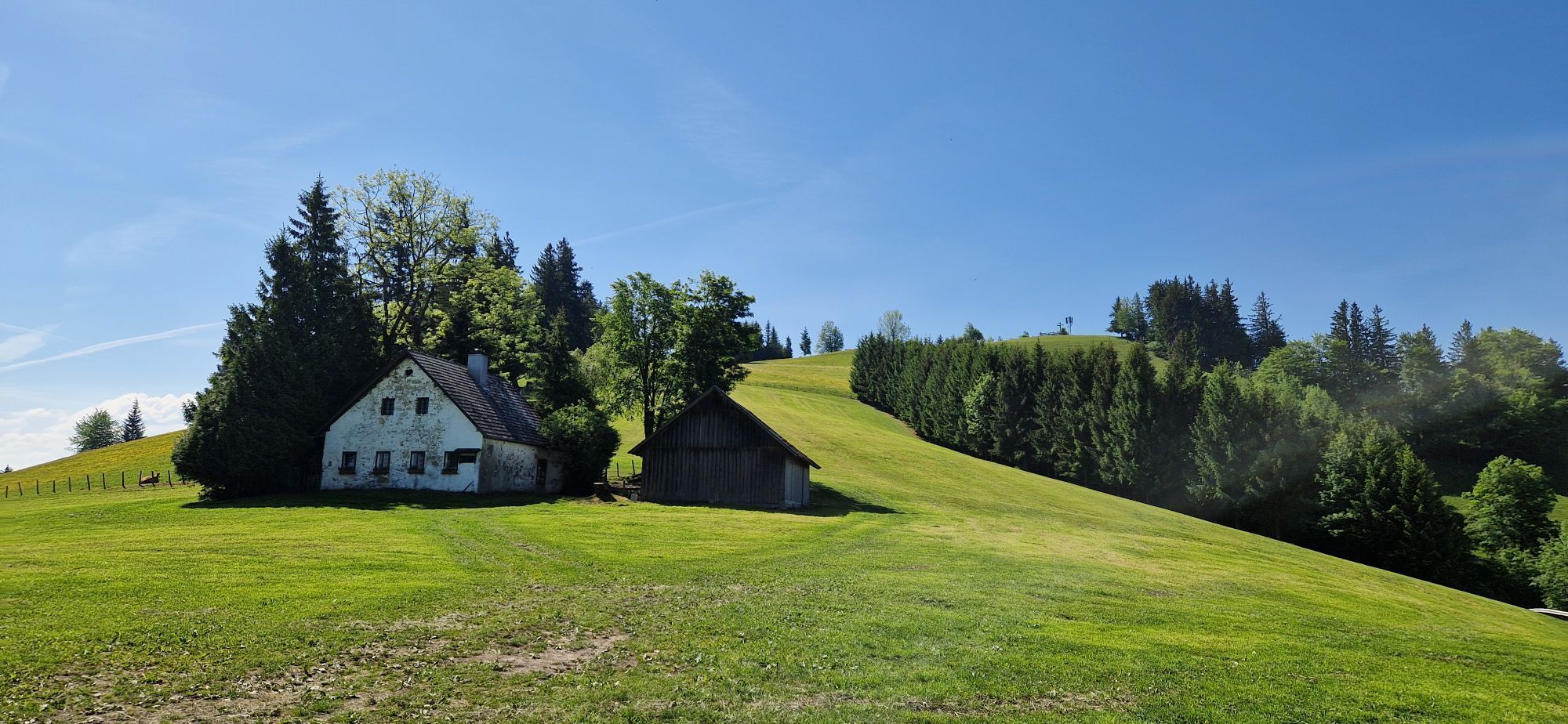
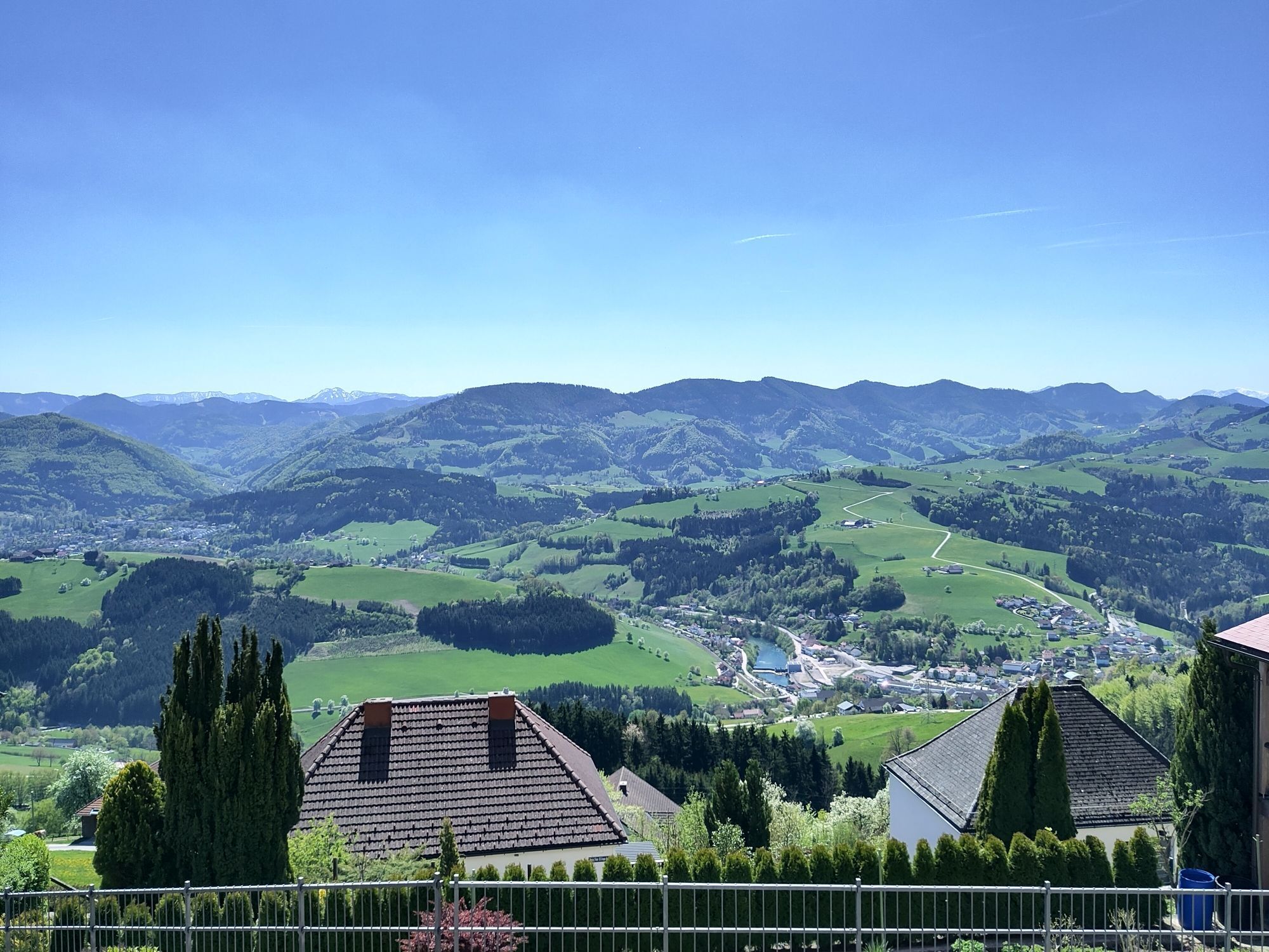
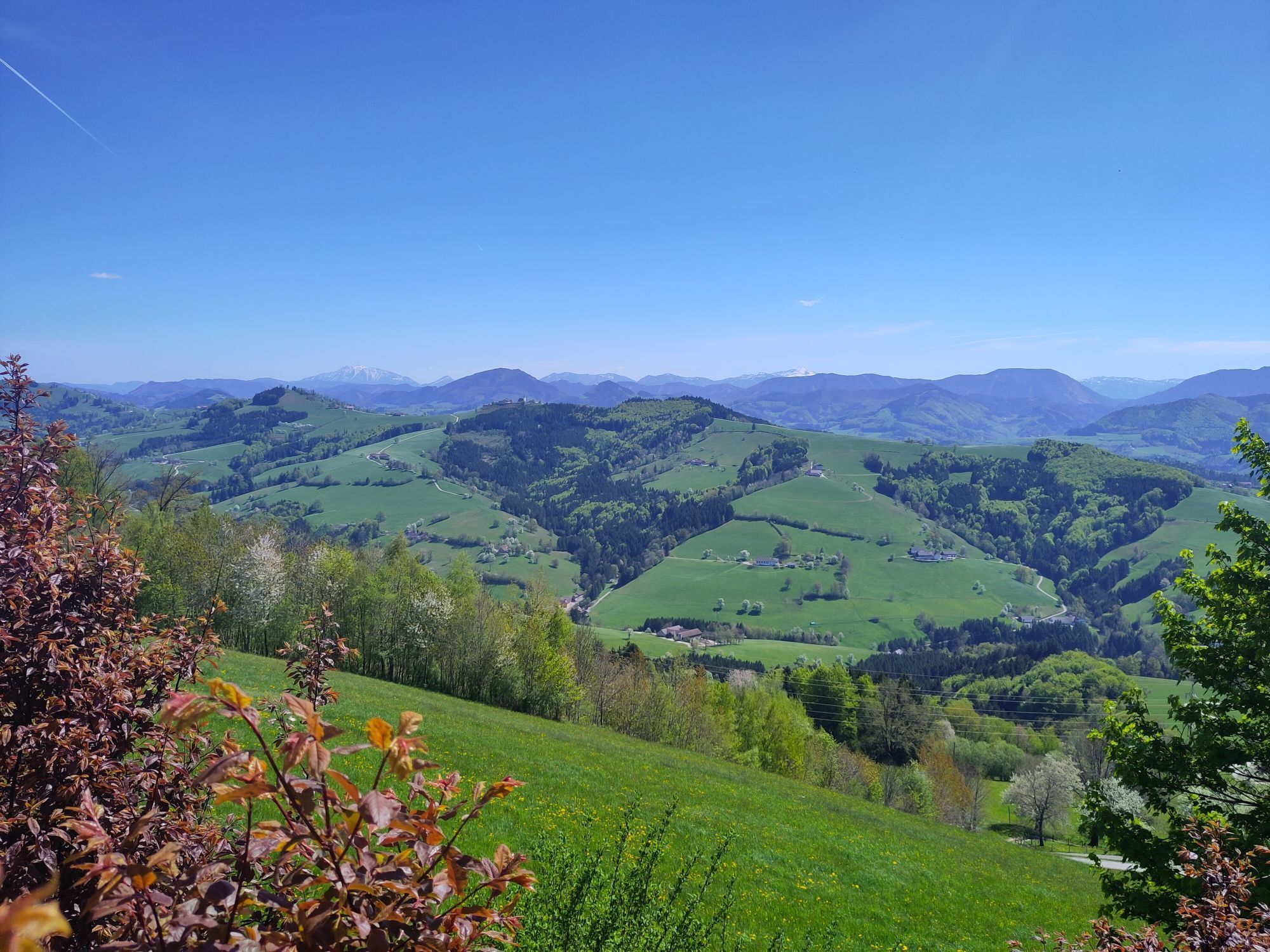
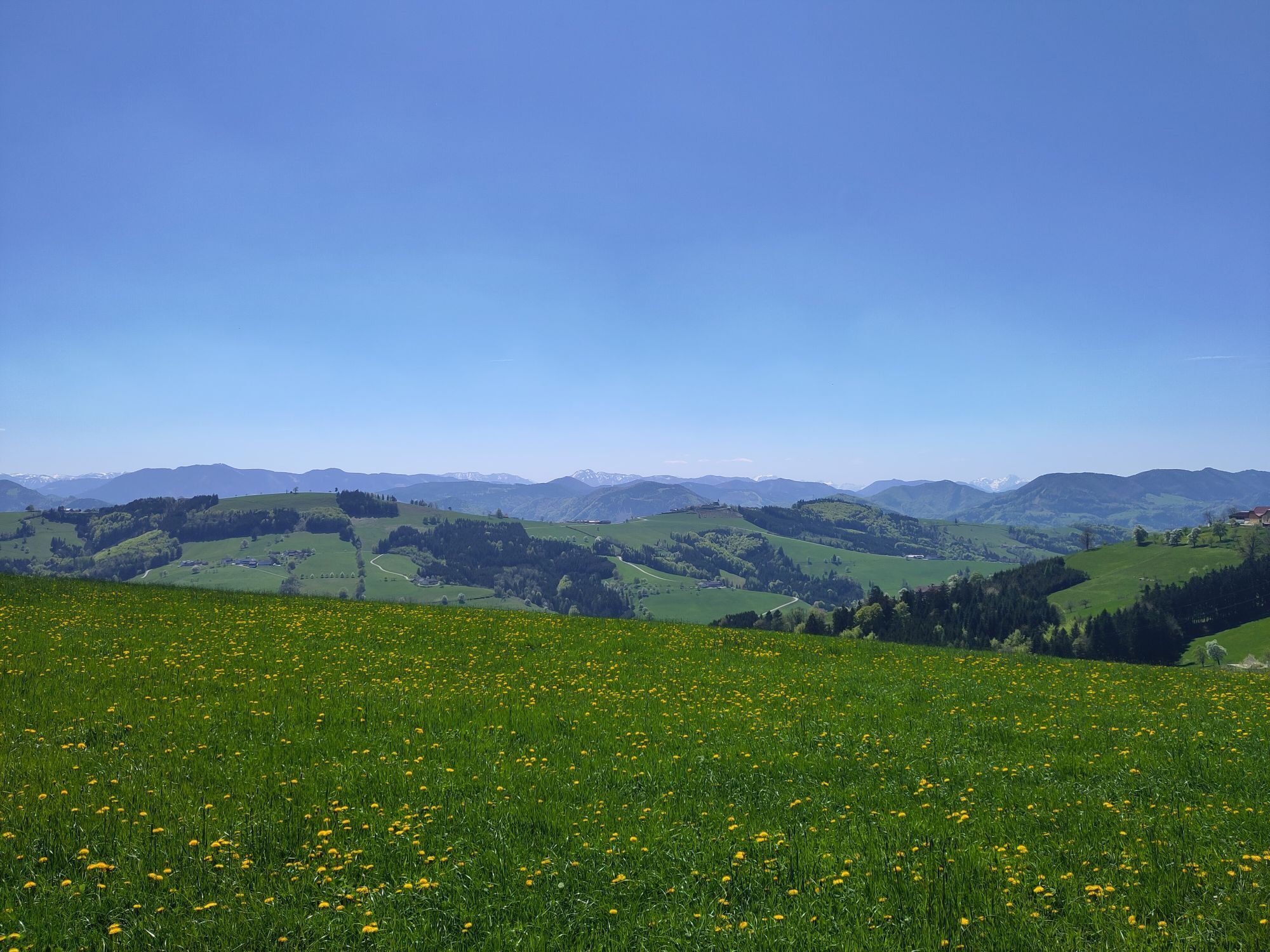
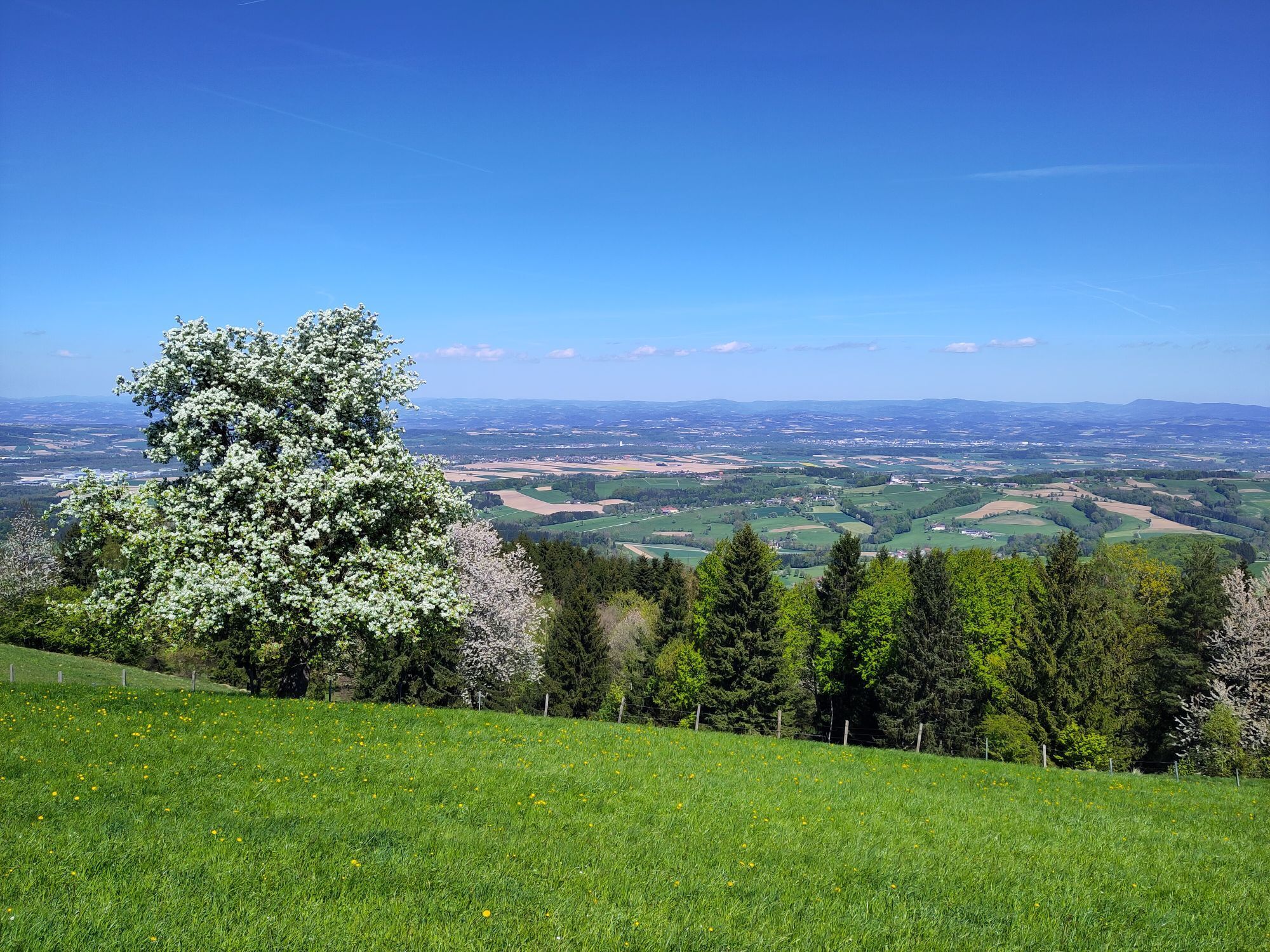
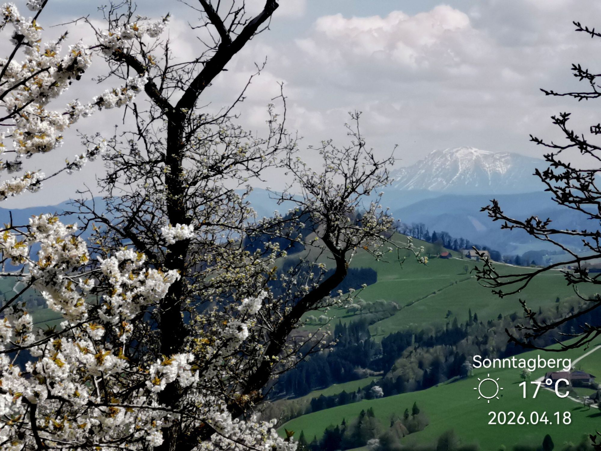
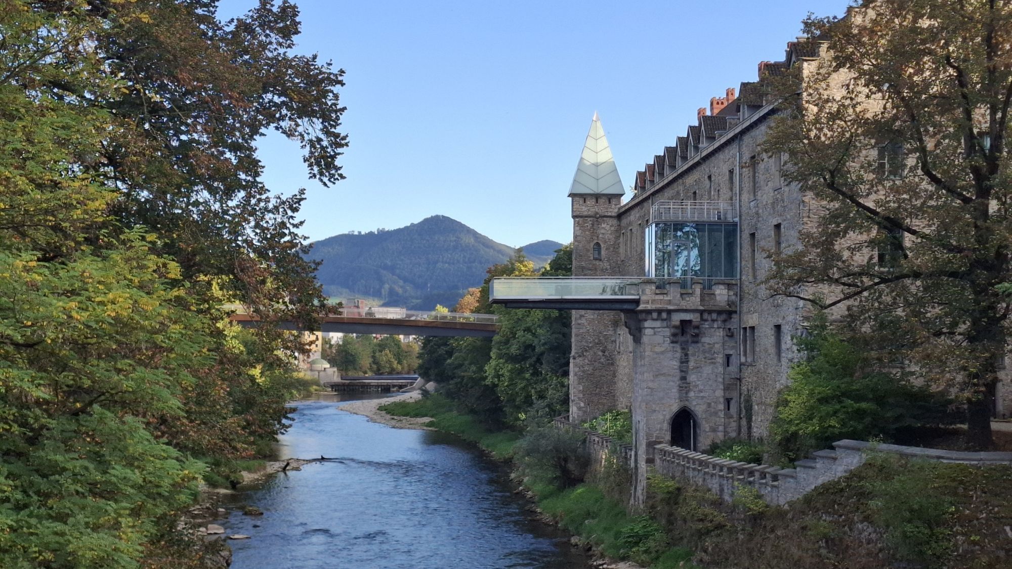
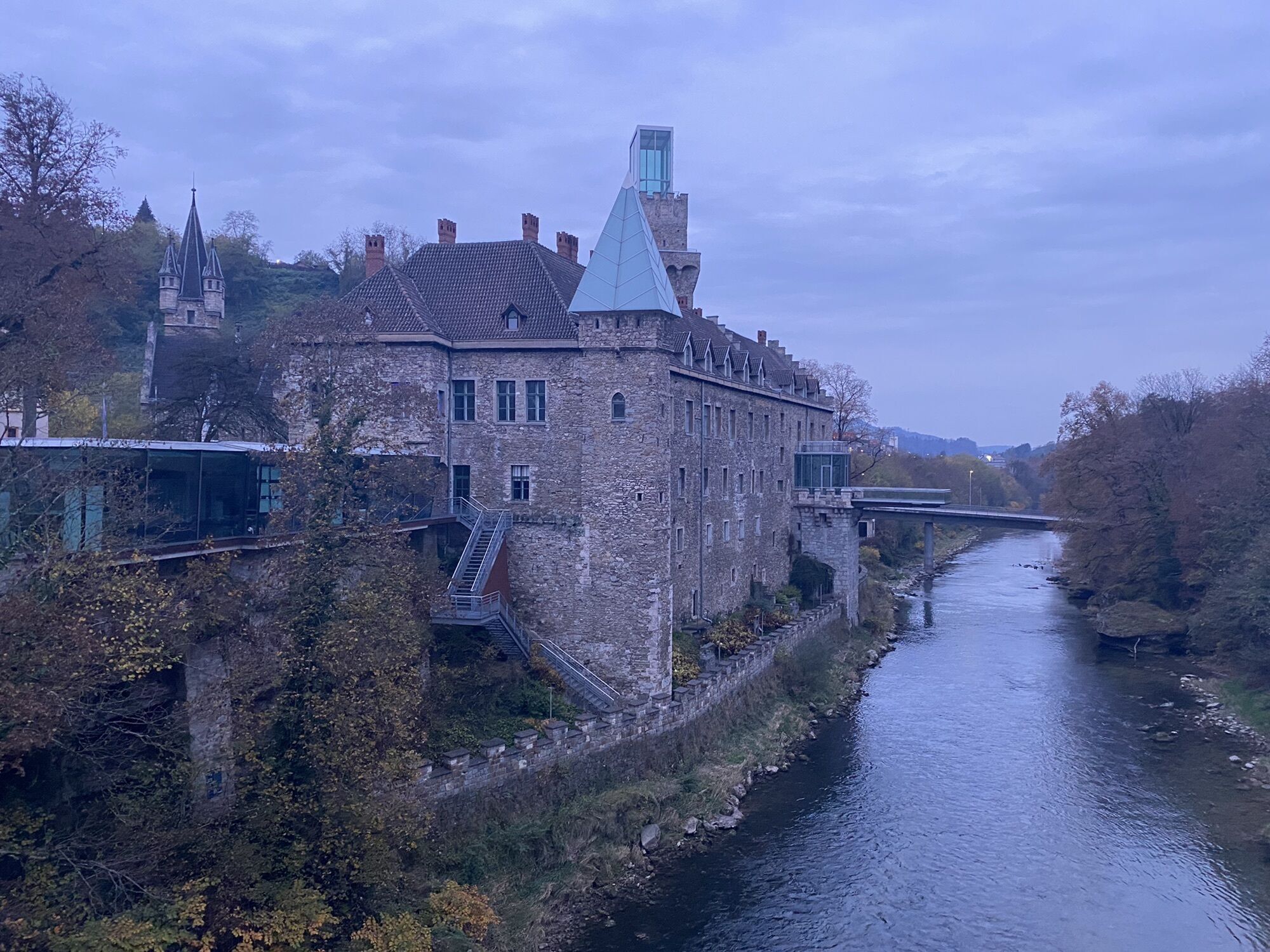
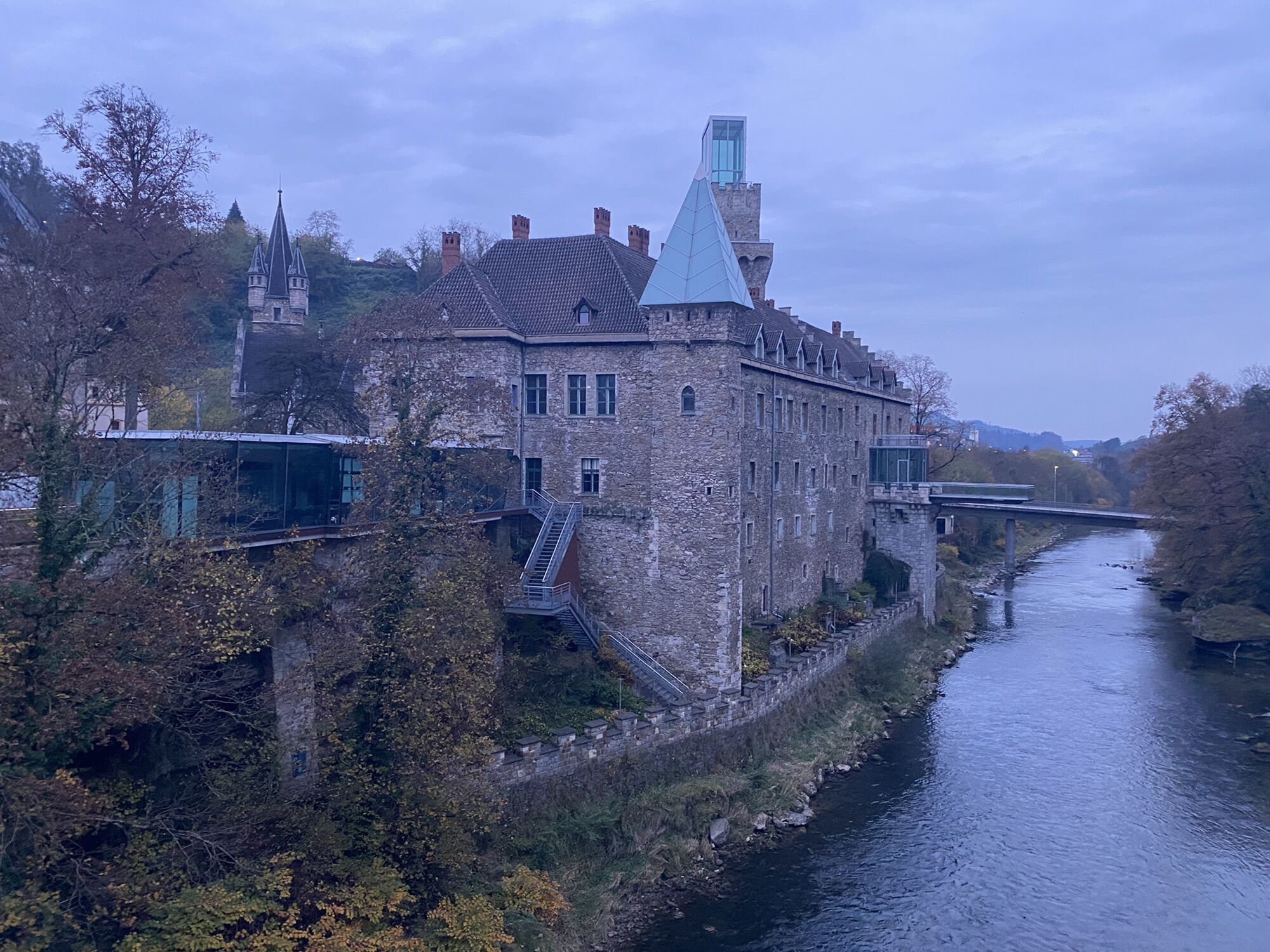
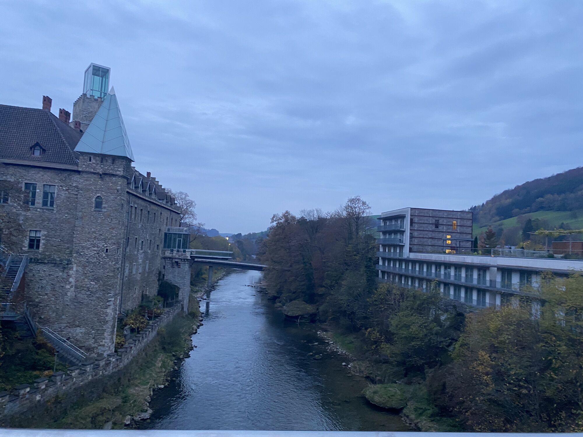
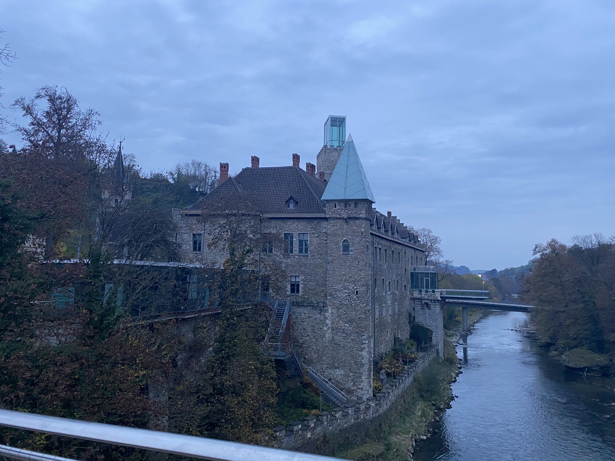
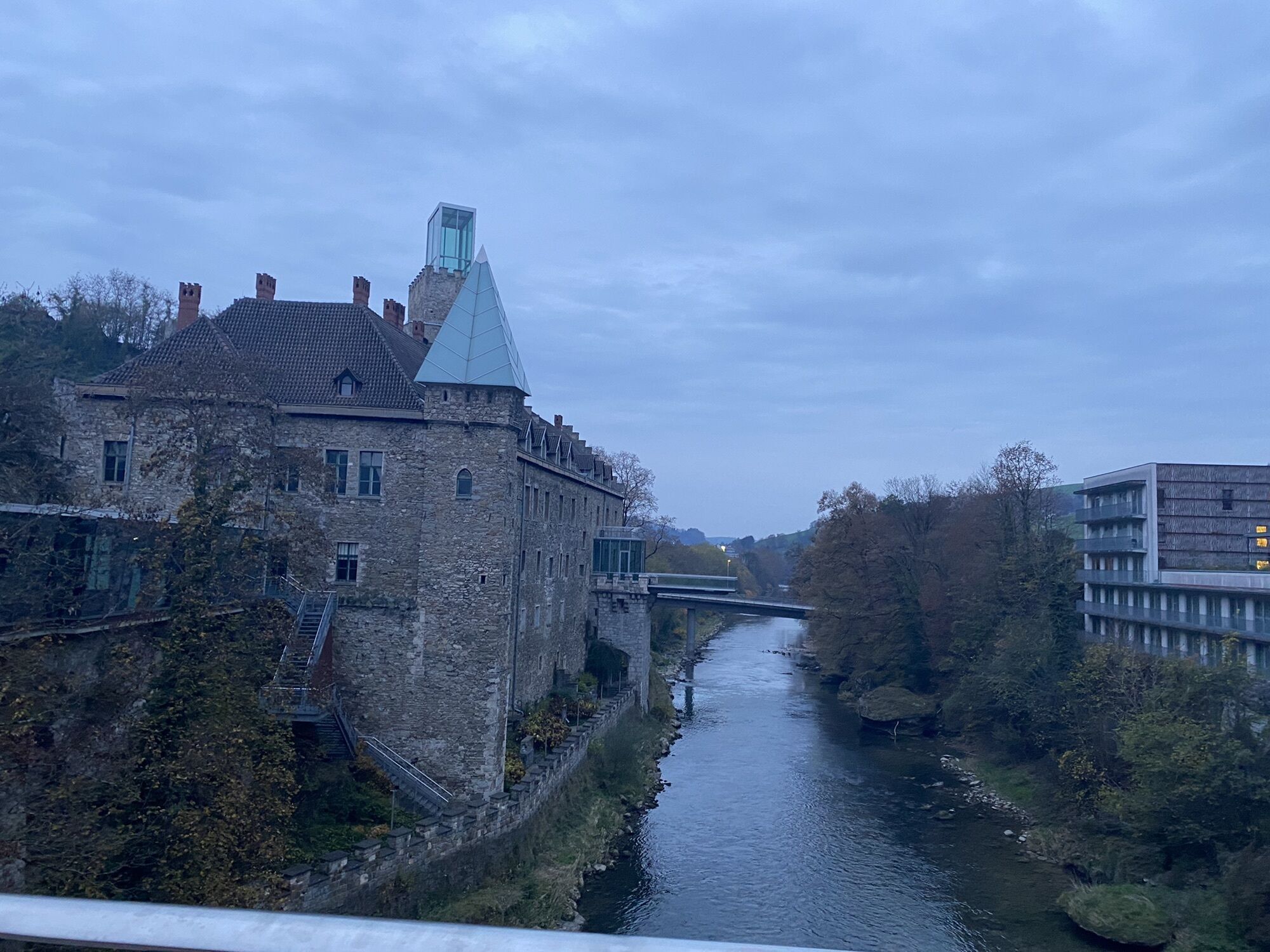
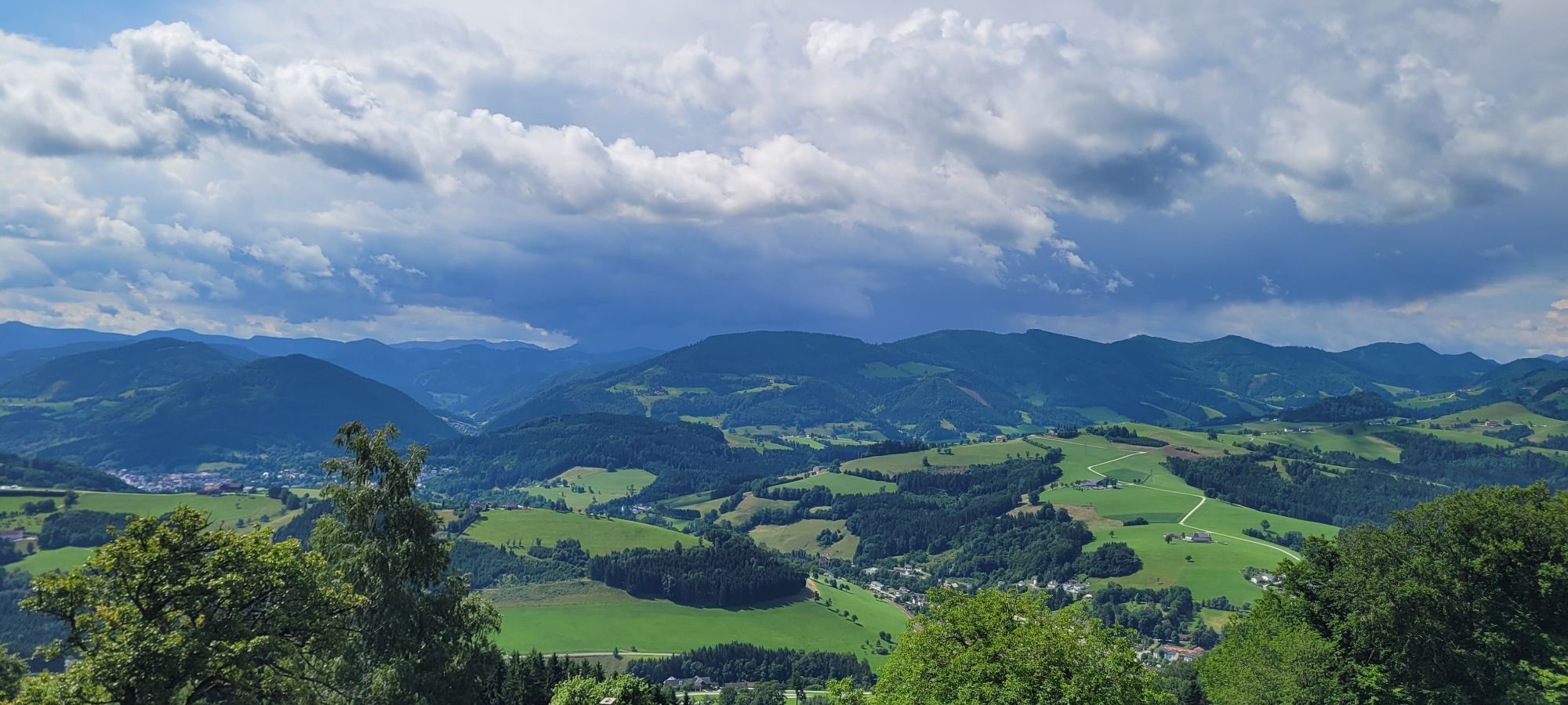
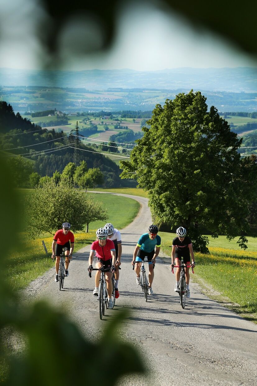
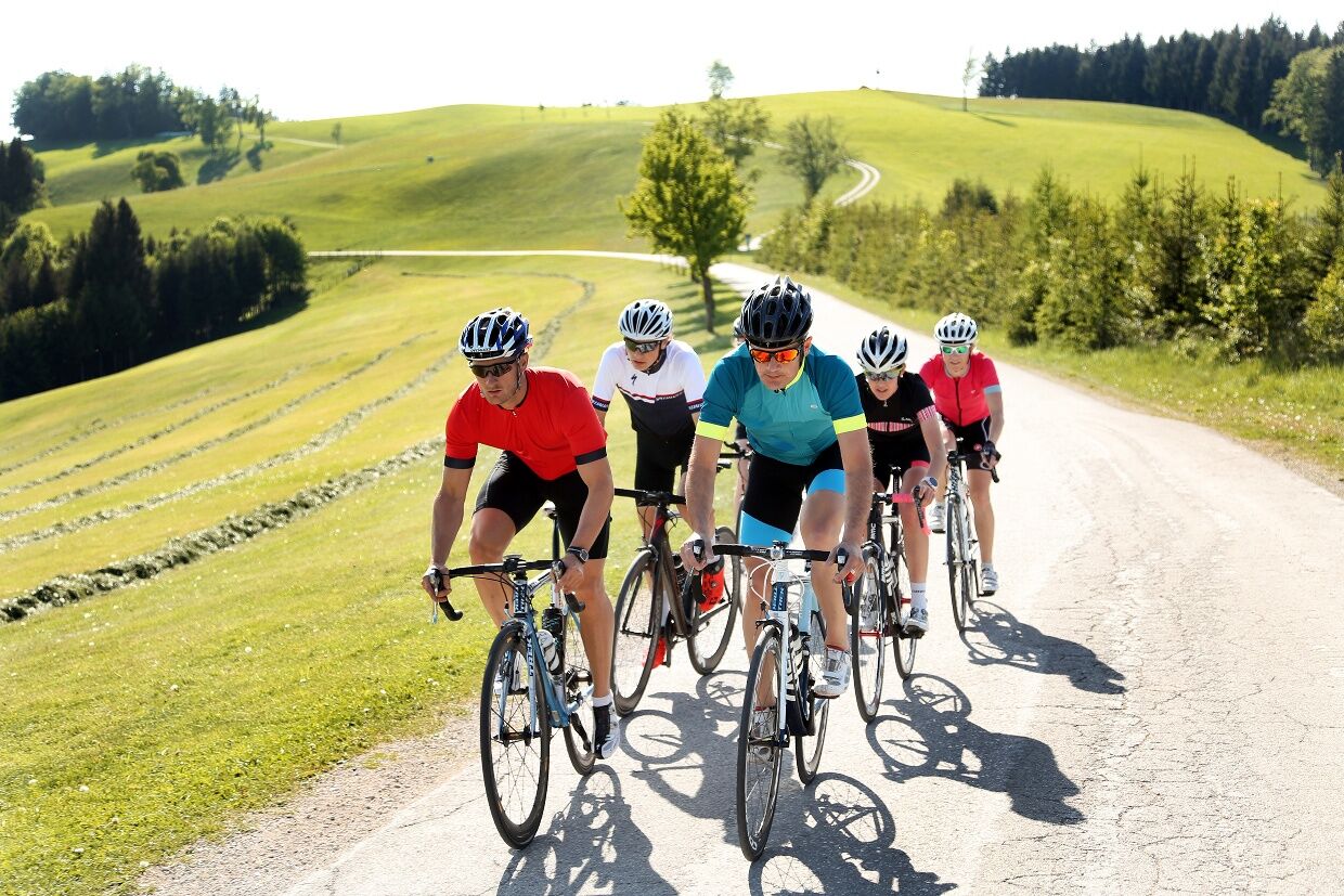
At the small forecourt of the basilica, you enjoy a wonderful view of the Ybbstal Alps and the Alpine foothills and practically ride through the basilica and over a short steep feeder road onto the panoramic ridge trail towards St. Leonhard am Walde.
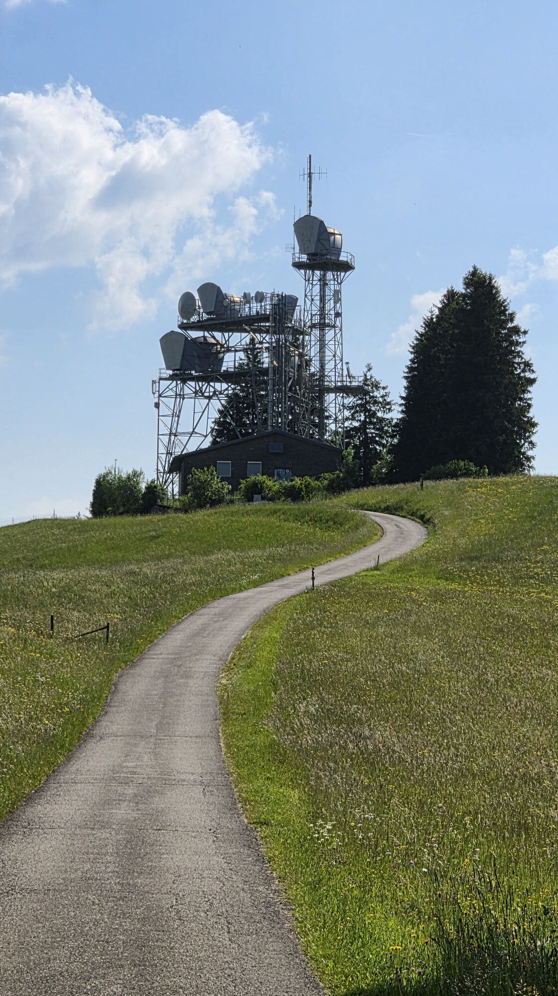
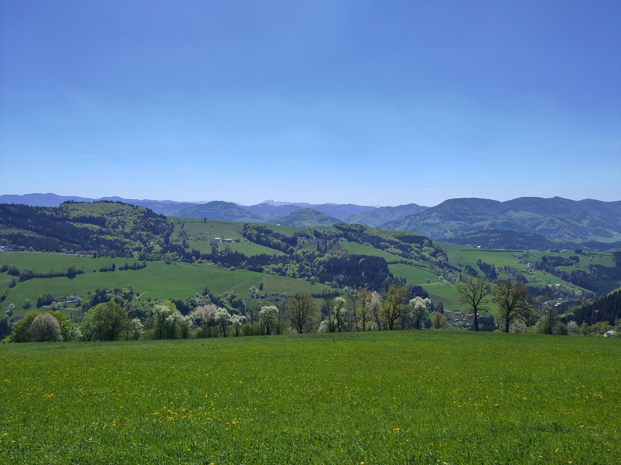
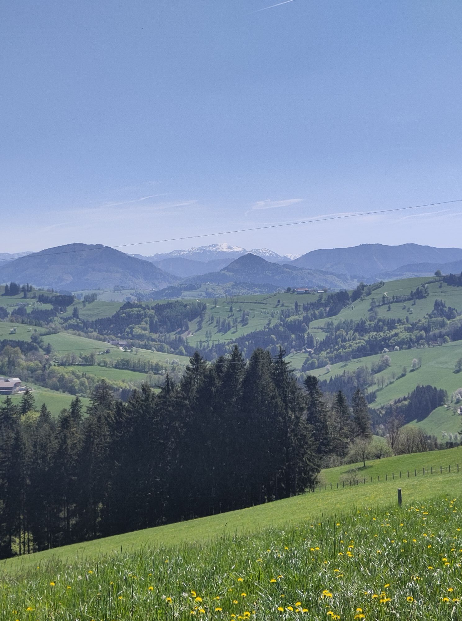
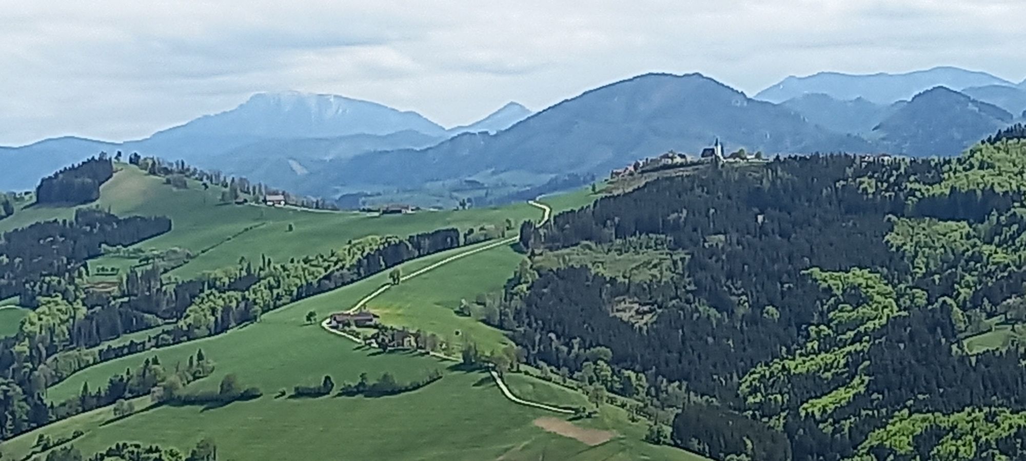
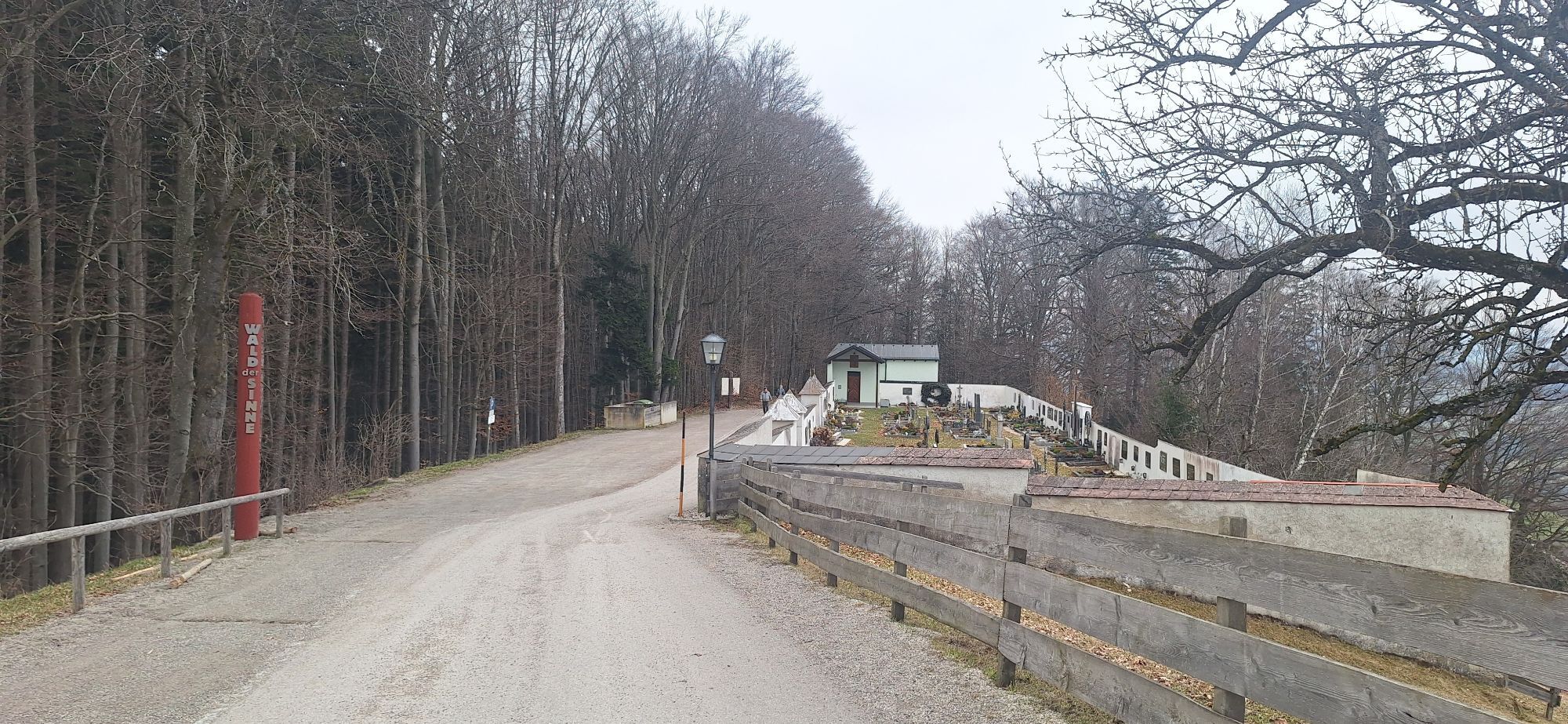
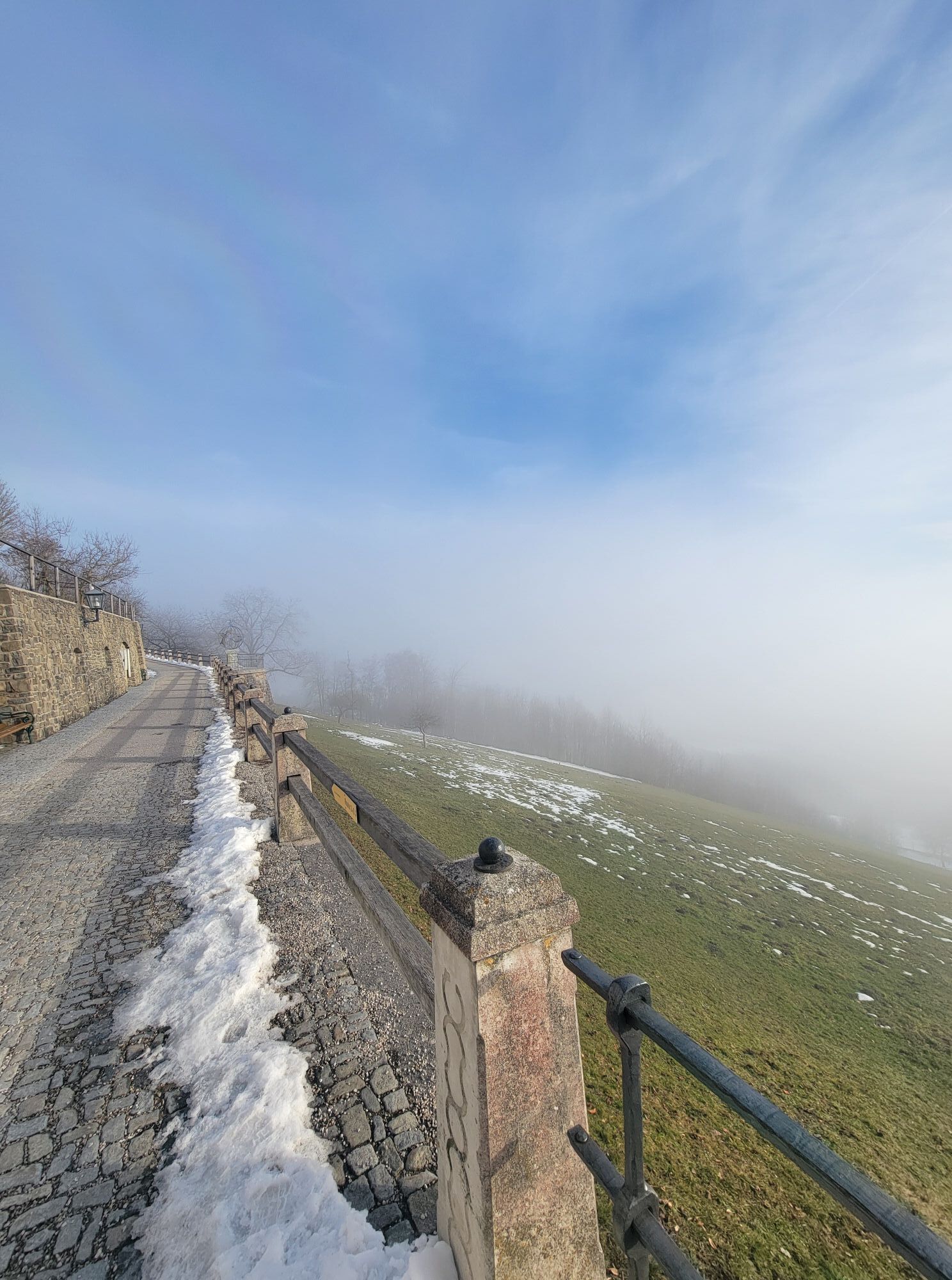
This trail runs for 10 km along the ridge and offers continuously breathtaking views in all directions. It goes constantly up and down - longer gentler climbs alternate with short steep ramps; especially the short descent after the Doppl fire station should be tackled with caution. The last kilometer to the small village of St. Leonhard is steep again - from there you follow an almost 10 km long descent down into the Urtal and further back to Waidhofen. At the starting point, the circle of this wonderful route closes.
Road bike with 36/28 gearing recommended (16% gradient)
Caution on the short, partly steep descents on the panoramic ridge road and on the fast and partly narrow-curved descent from St. Leonhard down to Waidhofen. Keep right!
A1 motorway exit Amstetten West, B121 Ybbstal federal road 25 km to Waidhofen/Ybbs.
ÖBB from Amstetten to Waidhofen/Ybbs main station. From there only 1 km to the start point.
Parking garage Schlosscenter, directly opposite the Parkbad/Schlosshotel
Consciously ride the short flat section before the last kilometer easy! ;-)
Actividades a lo largo del recorrido

Rutas populares en los alrededores
-
4,6
Sendero de las gargantas de Opponitz
medioSenderismo 4,42 km -
4,3
Freithofberg
medioSenderismo 9,15 km -
4,3
Prochenberg von Ybbsitz
luzSenderismo 6,29 km -
3,8
Lindaumauer (1103 m)
Senderismo 3,40 km -
4,5
Lindaumauer, Maria Neustift
medioSenderismo 5,53 km -
5,0
Prochenbergrunde
medioSenderismo 5,96 km -
4,5
Etapa 3 de 4 del Sebaldusweg | Maria Neustift - Gaflenz
medioCamino de peregrinación 20,4 km -
4,9
Reidlingberg - Gruber Kreuz - Hochkogel
luzSenderismo 10,0 km -
4,4
tut gut-Routen Hochkogelberg
Senderismo 11,0 km -
4,6
Prochenberg von Maria Seesal
medioSenderismo 9,20 km

Senderismo y rastreo


No se pierda las ofertas y la inspiración para sus próximas vacaciones
Su dirección de correo electrónico se ha añadido a la lista de correo.