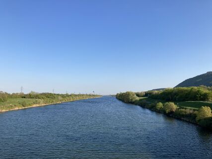
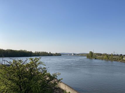
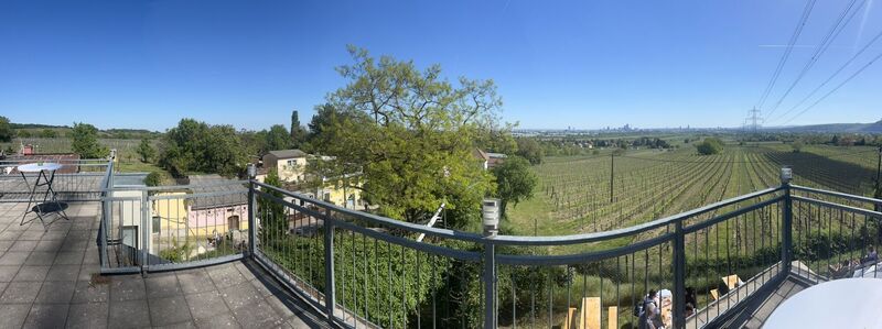
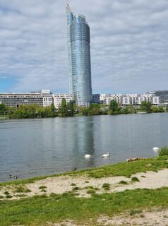
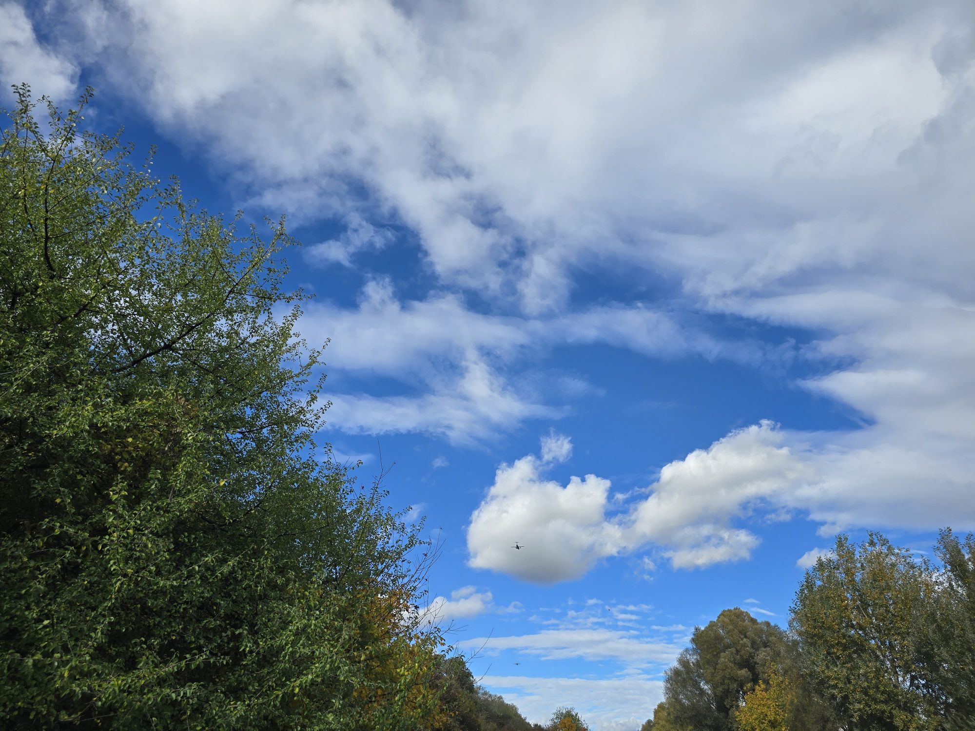
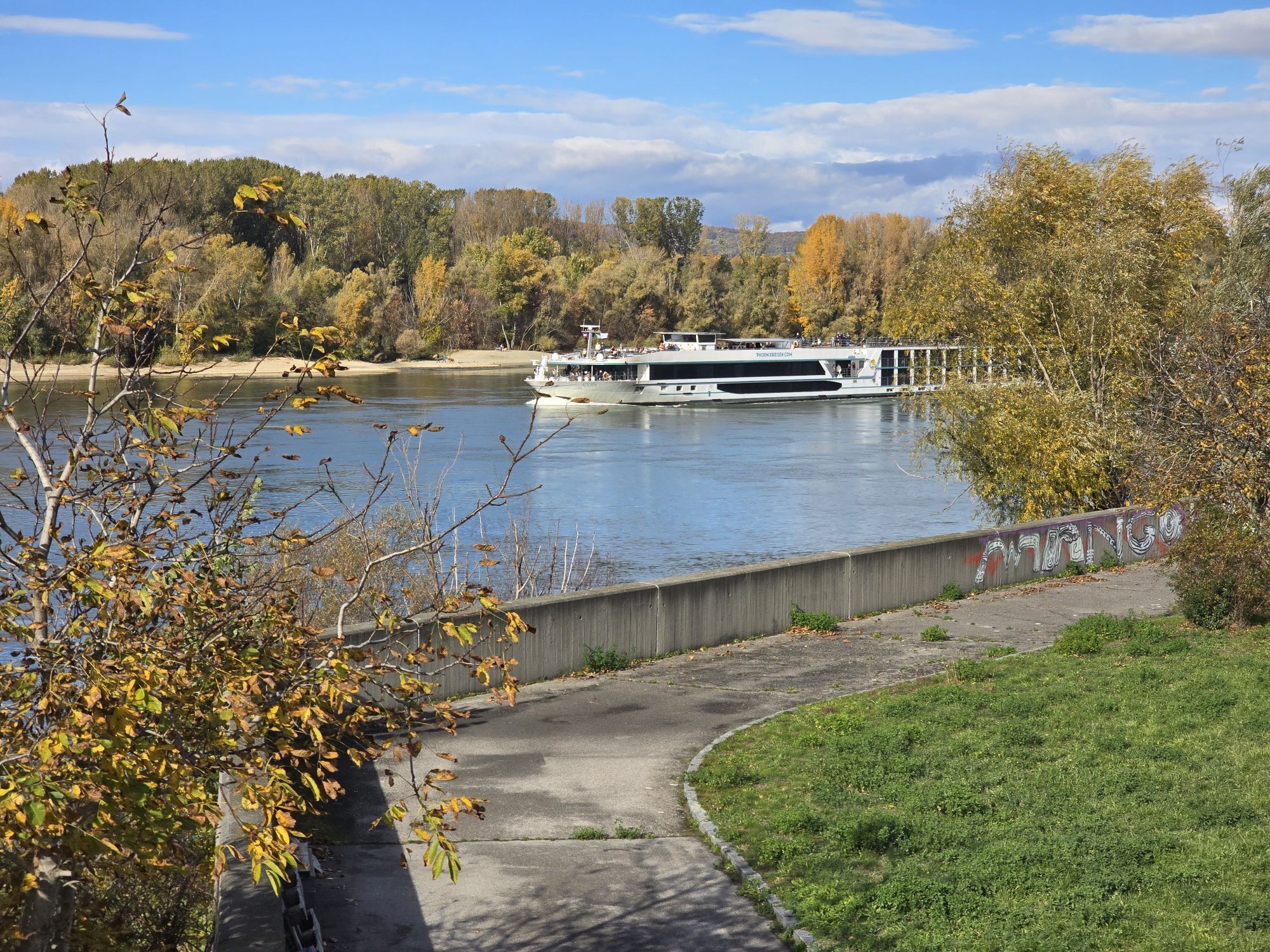
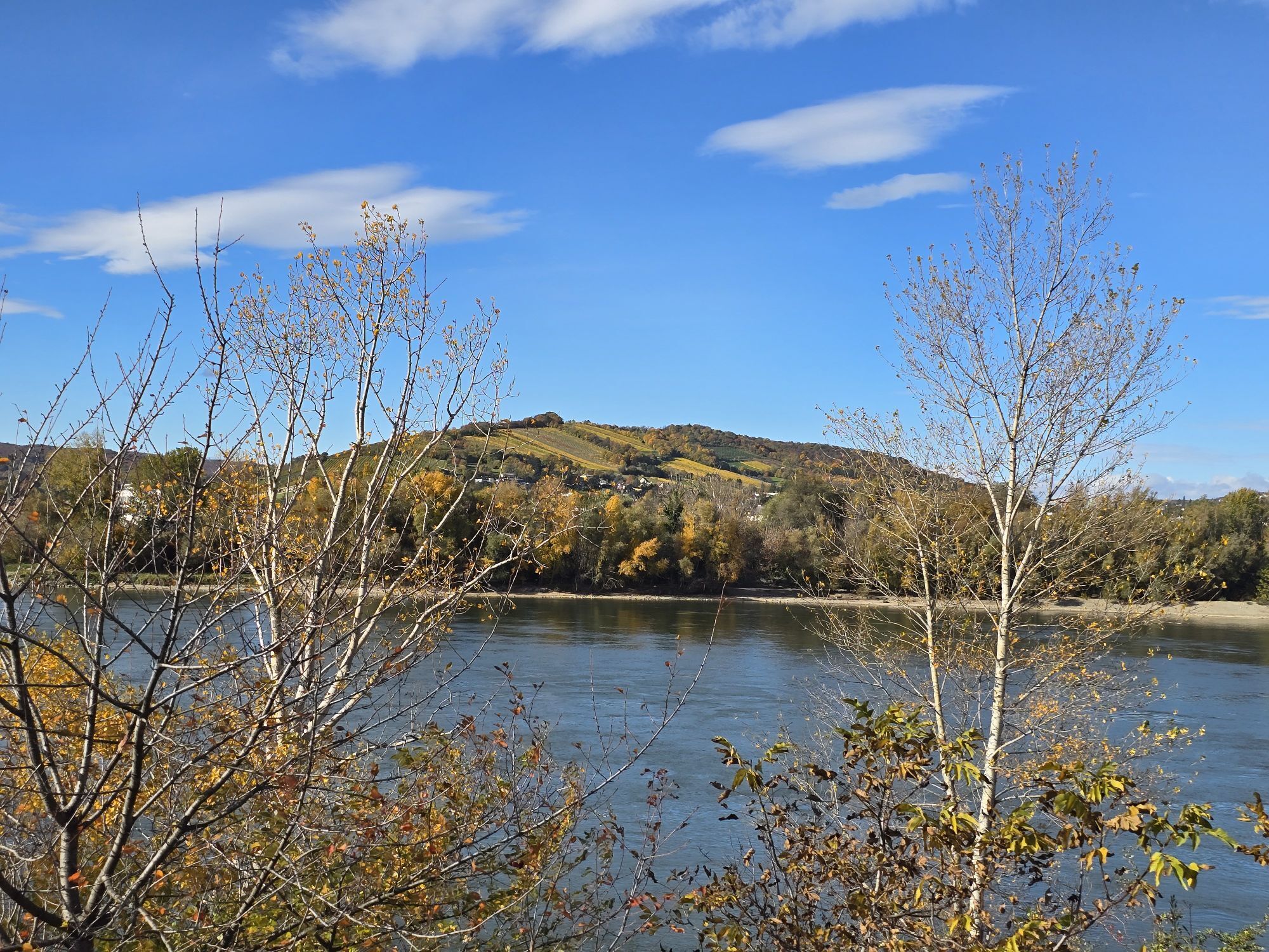
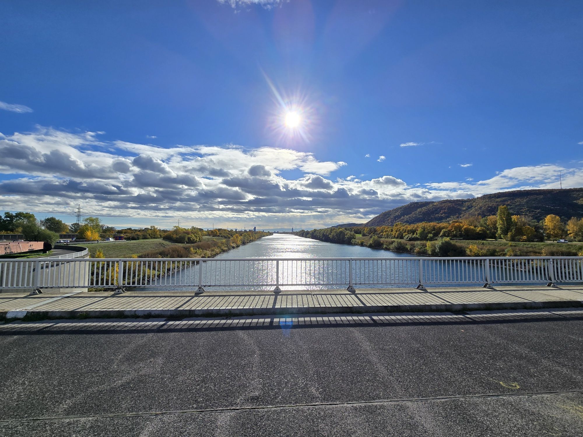
Heuriger-Restaurant Bretz - Kapelle hl. Johannes Nepomuk - Klosterkirche Maria Immaculata - Großebersdorf
medio
Navegue por
Navegue por
Consigue este tour en tu móvil
Heuriger-Restaurant Bretz - Kapelle hl. Johannes Nepomuk - Klosterkirche Maria Immaculata - Großebersdorf
medio
Ciclismo de carrera
47,41
km
Escanee el código QR e inicie la navegación en la aplicación bergfex

Senderismo y rastreo


Heuriger-Restaurant Bretz - Kapelle hl. Johannes Nepomuk - Klosterkirche Maria Immaculata - Großebersdorf
medio
Distancia
47,41
km
Duración
02:21
h
Ascenso
257
m
Nivel del mar
158 -
236
m
Descarga de pistas
Heuriger-Restaurant Bretz - Kapelle hl. Johannes Nepomuk - Klosterkirche Maria Immaculata - Großebersdorf
medio
Ciclismo de carrera
47,41
km
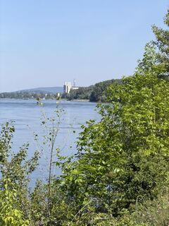
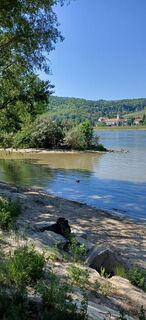
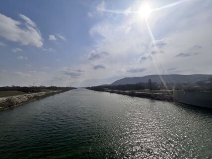
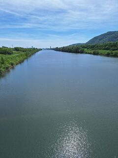
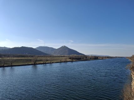
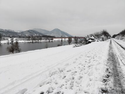
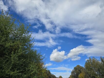
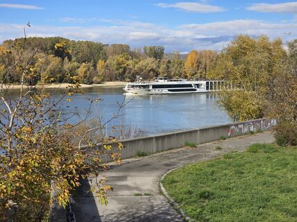
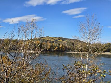
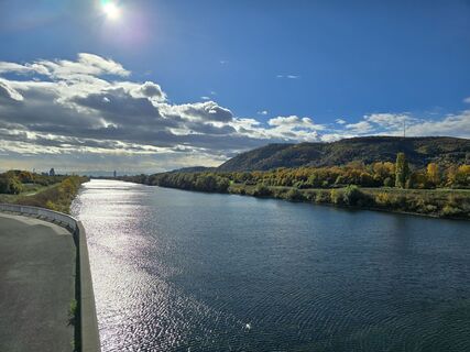
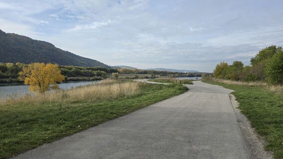
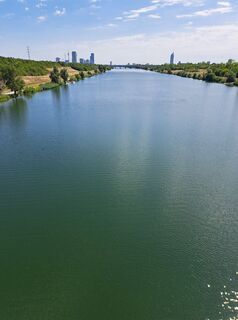
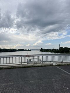
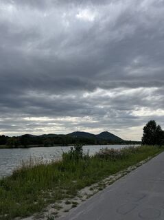
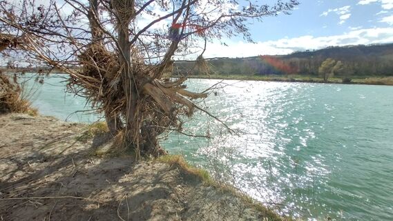
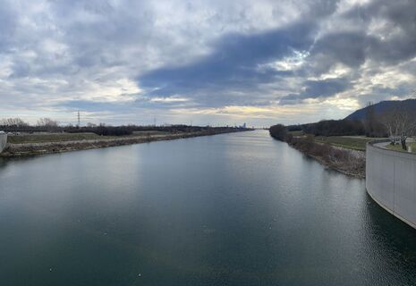
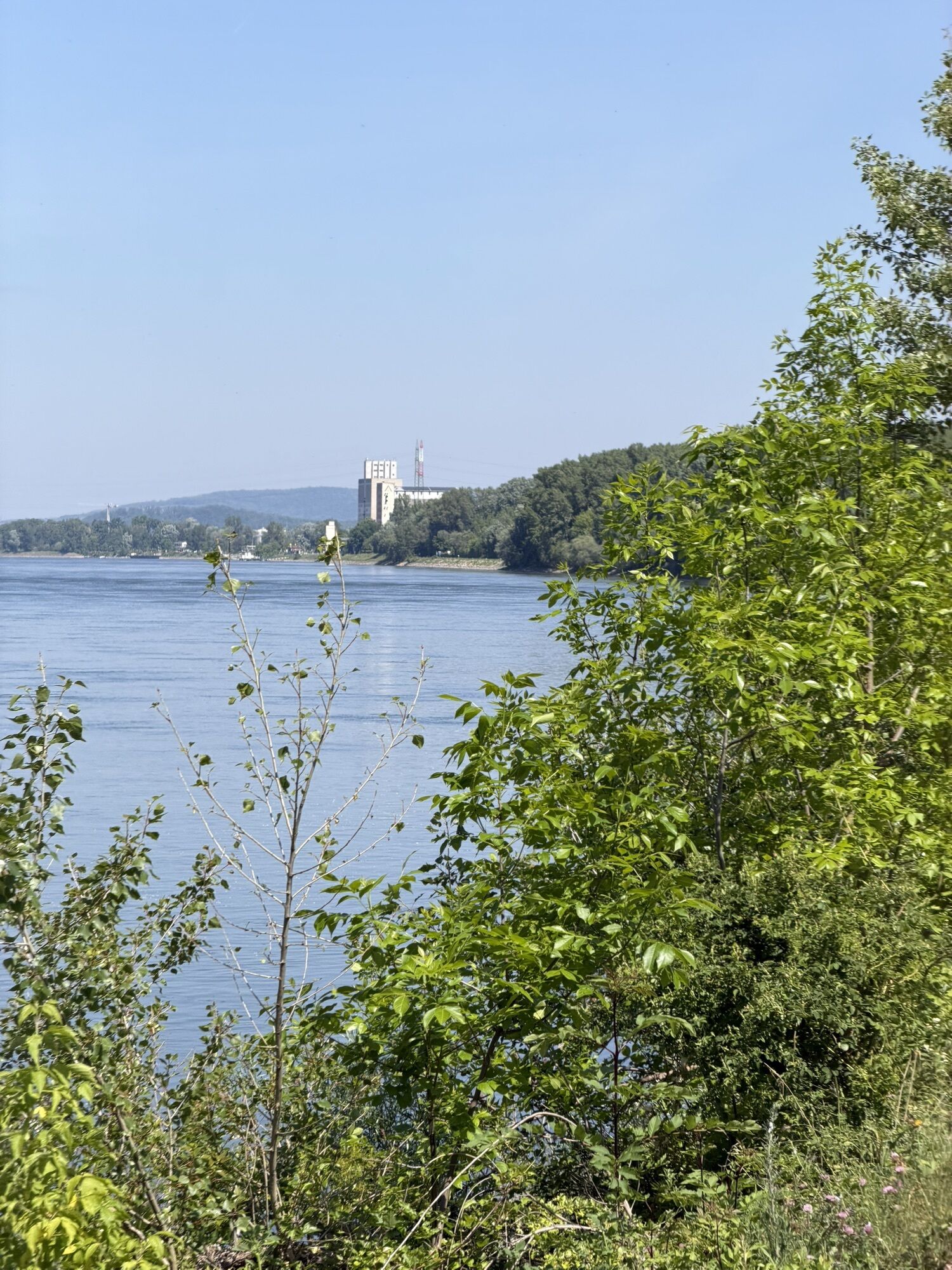
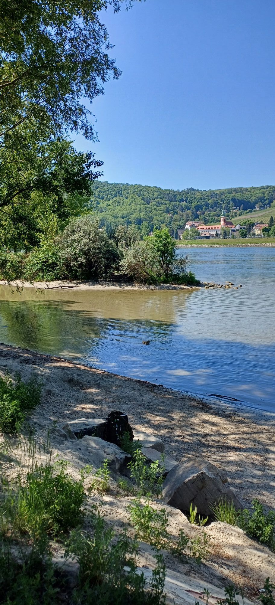
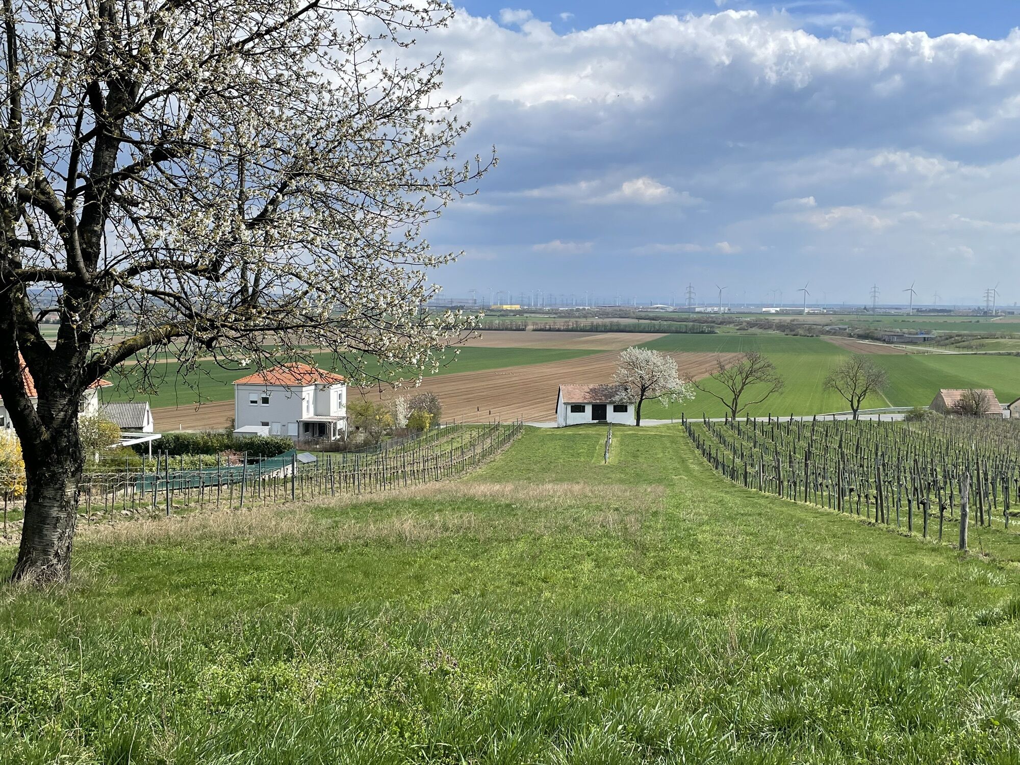
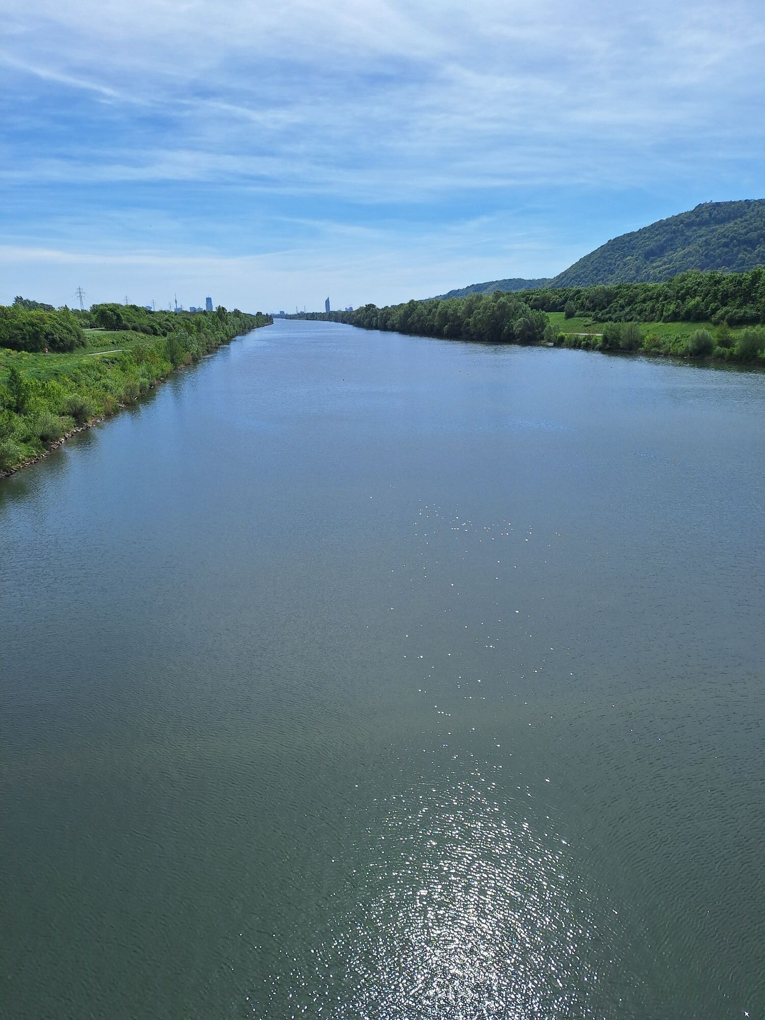
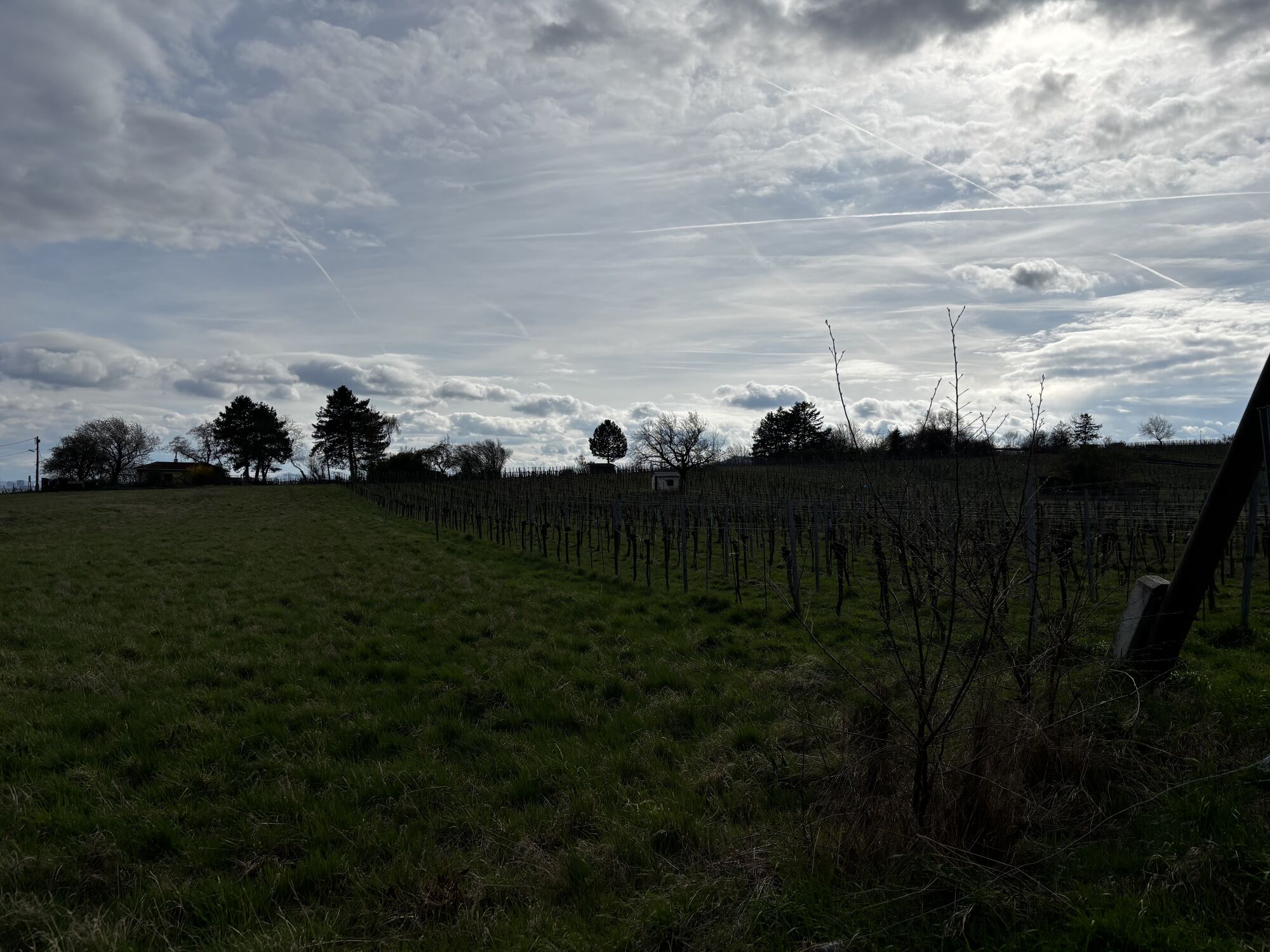
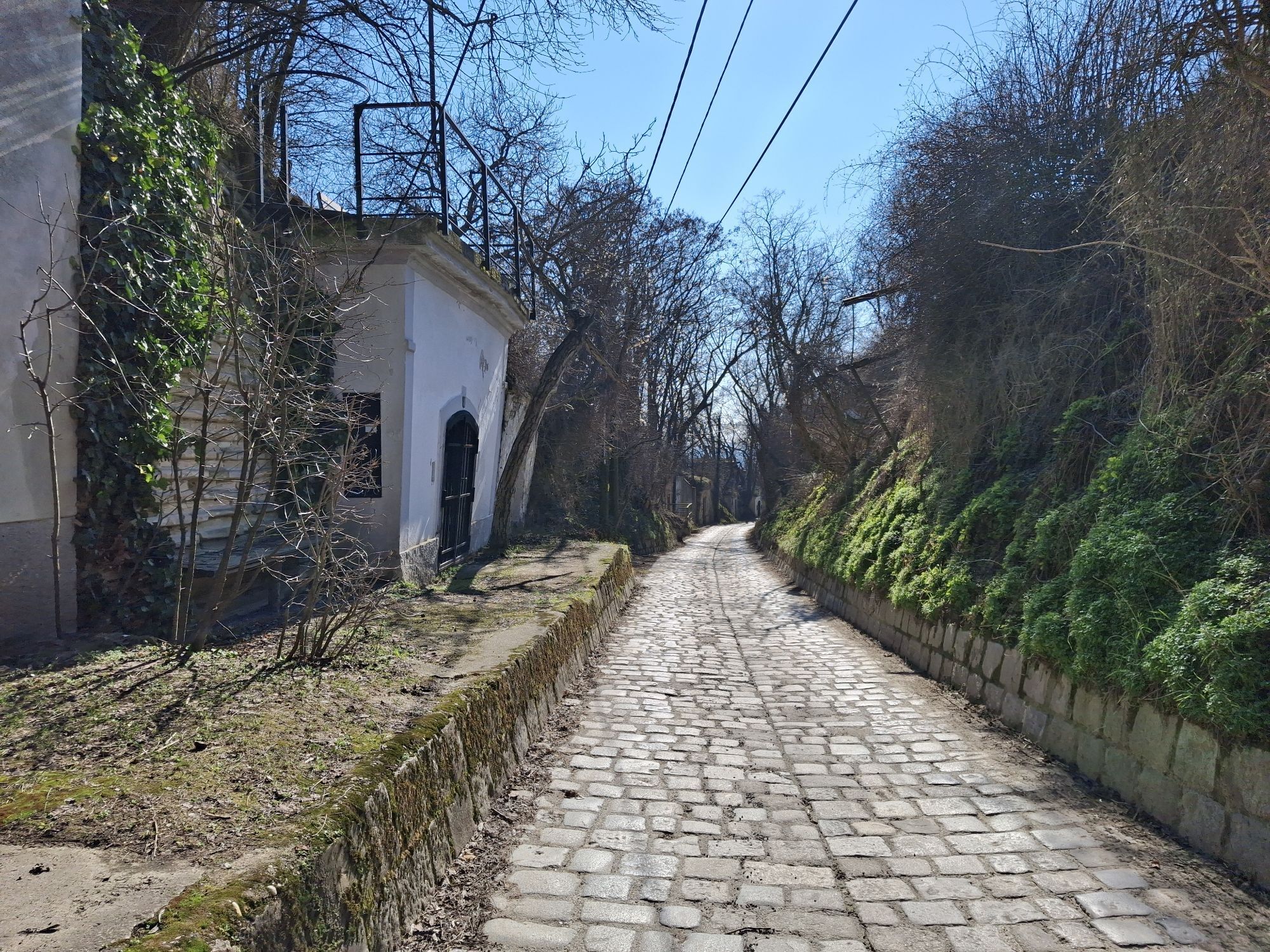
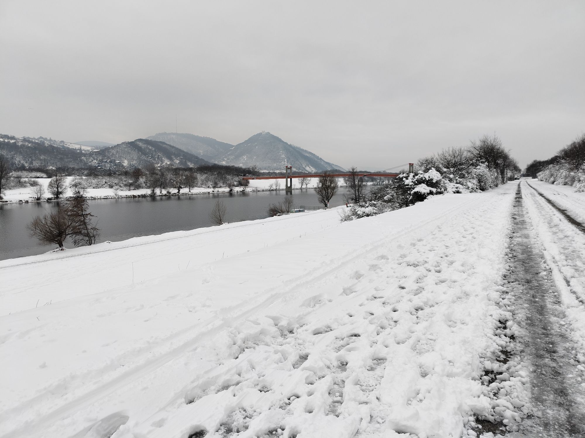
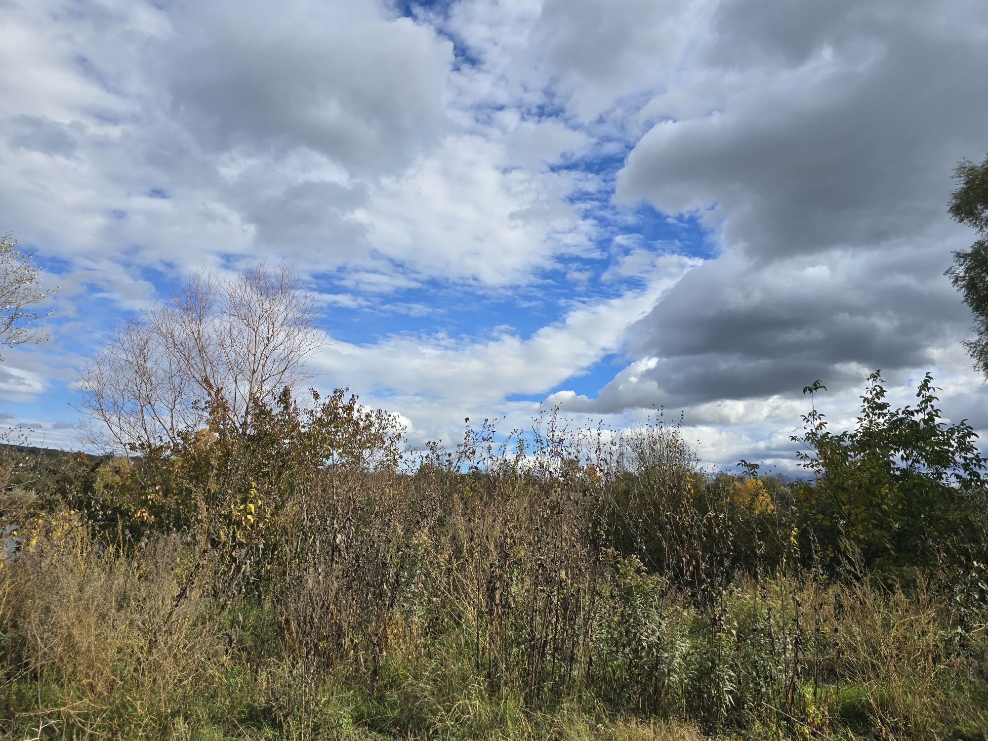
Fotos de nuestros usuarios
-
 © László Soós 2Creado el 10.05.2026
 -
 © Ewald Reil 1Creado el 02.05.2025
 -

 © Martino68Creado el 05.04.2025
 -
 © Flip durandCreado el 22.03.2025
 -
 © Aga MCreado el 14.04.2024
 -
 © Aga MCreado el 02.11.2022
 -
 © Aga MCreado el 29.04.2021
 -
 © Flip durandCreado el 22.03.2025
 -
 © Flip durandCreado el 22.03.2025
 -
 © ksschmidCreado el 22.04.2023
 -
 © ksschmidCreado el 22.04.2023
 -
 © ksschmidCreado el 22.04.2023
 -

 © MoonytigerCreado el 20.05.2026
 -
 © Thomas BösendorferCreado el 02.05.2026
 -

 © Thomas Strohmayer 1Creado el 01.05.2026
 -
 © Thomas Strohmayer 1Creado el 01.05.2026
 -
 © TobiCreado el 04.04.2026
 -
 © Stefan SchuhmannCreado el 28.02.2026
 -
 © Stefan SchuhmannCreado el 28.02.2026
 -
 © PoschacherCreado el 21.02.2026
 -

 © enipeus 65Creado el 26.10.2025
 -
 © enipeus 65Creado el 26.10.2025
 -
 © enipeus 65Creado el 26.10.2025
 -
 © enipeus 65Creado el 26.10.2025
 -
 © enipeus 65Creado el 26.10.2025
 -
 © enipeus 65Creado el 26.10.2025
 -
 © Hieu Duc TramCreado el 21.10.2025
 -
 © Diljaver JusufiCreado el 11.08.2025
 -
 © Diljaver JusufiCreado el 11.08.2025
 -
 © Alexander SchoberCreado el 01.08.2025
 -
 © Alexander SchoberCreado el 01.08.2025
 -
 © NickyCreado el 11.05.2025
 -
 © bergwolfiCreado el 23.03.2025
 -
 © Christian PfeifferCreado el 11.01.2025


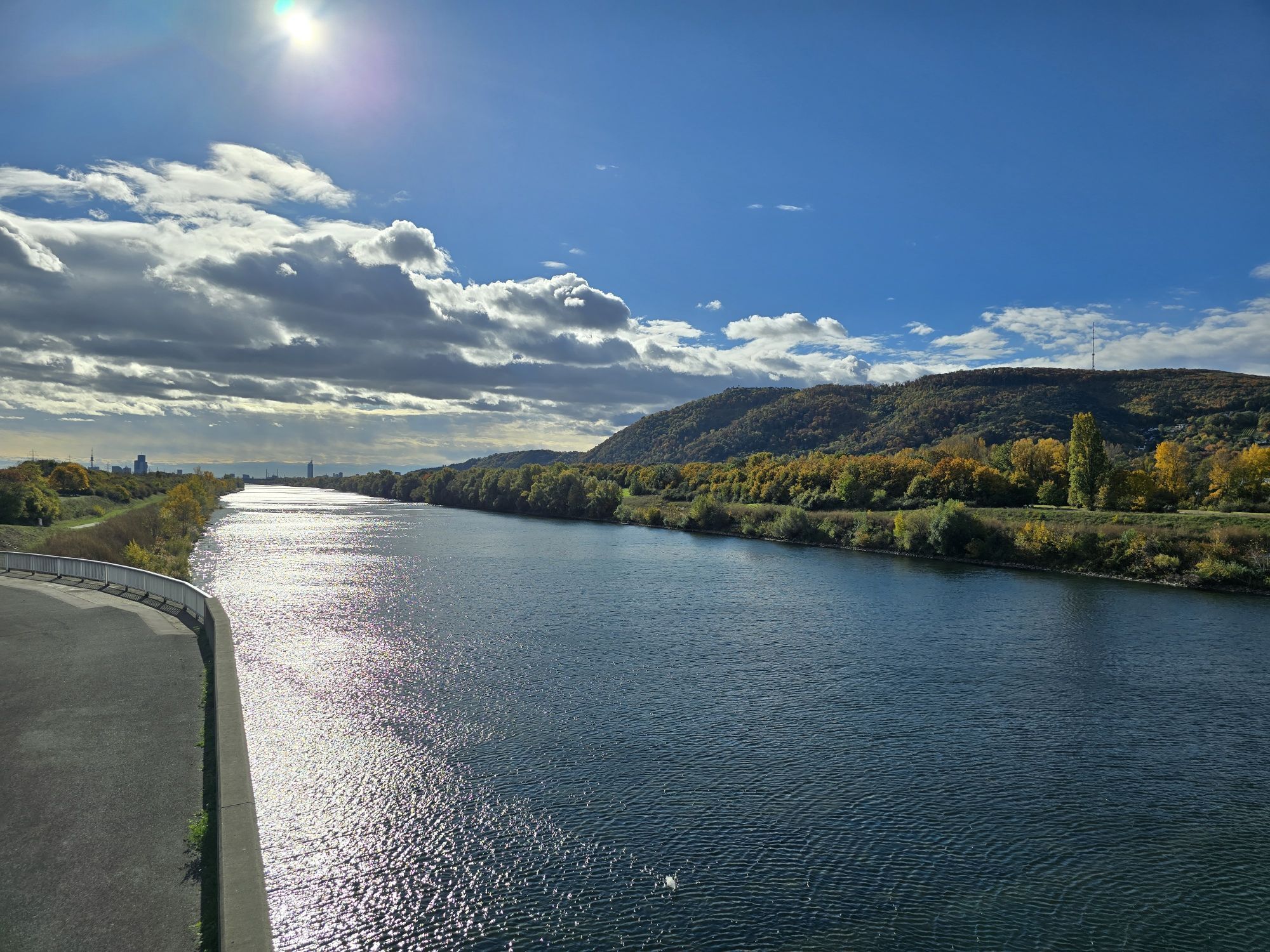


Ruta
Putzing am See
(176 m)
Pueblo
0,9 km
Kapelle hl. Johannes Nepomuk
(188 m)
Lugar de culto
2,7 km
Pfarrkirche Maria Geburt
(186 m)
Lugar de culto
3,1 km
Klosterkirche Maria Immaculata
(165 m)
Lugar de culto
12,1 km
Klosterneuburg
(194 m)
Ciudad
16,2 km
Viena
(542 m)
Ciudad
23,7 km
Kapelle hl. Johannes Nepomuk
(188 m)
Lugar de culto
44,6 km
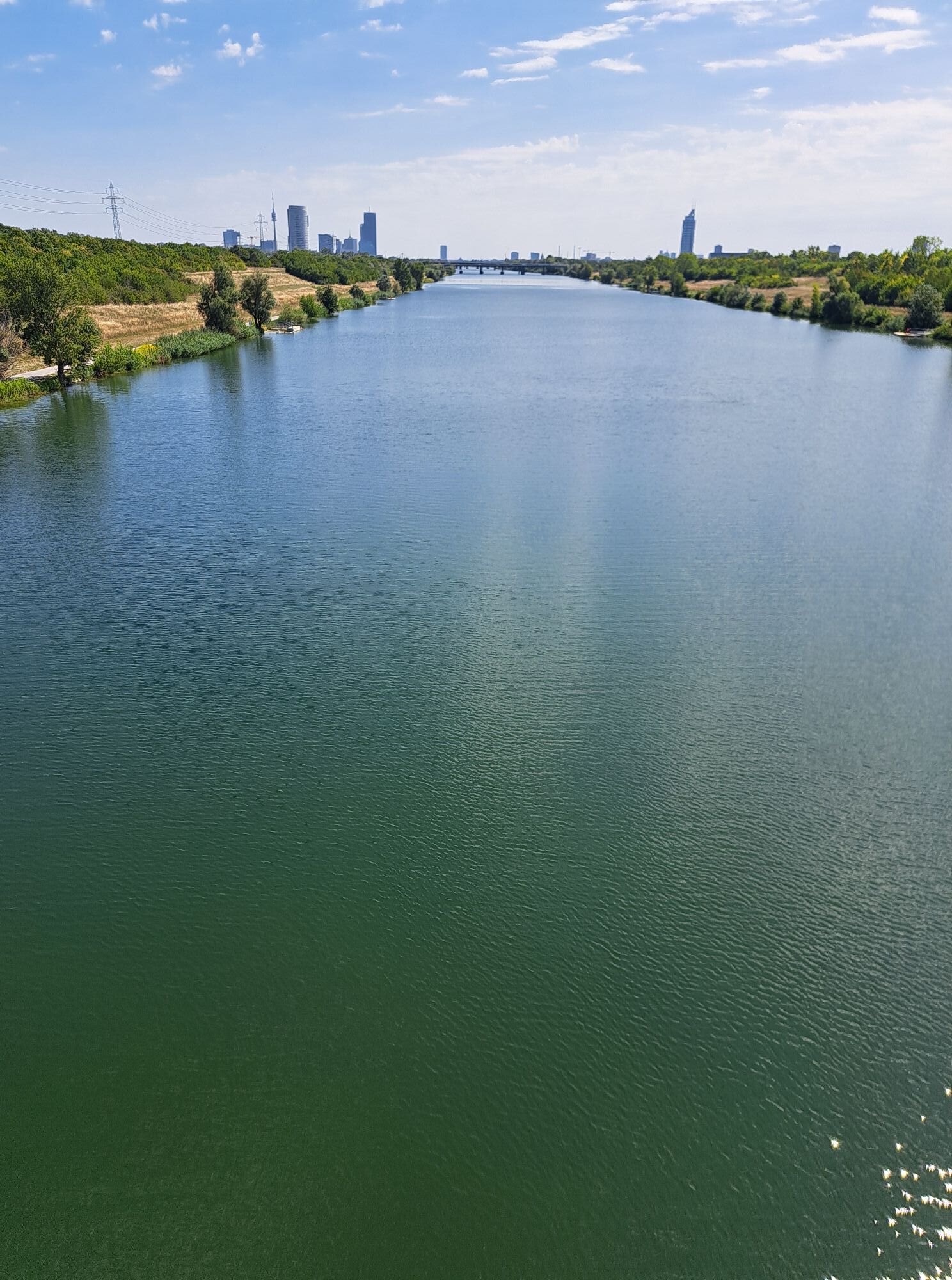
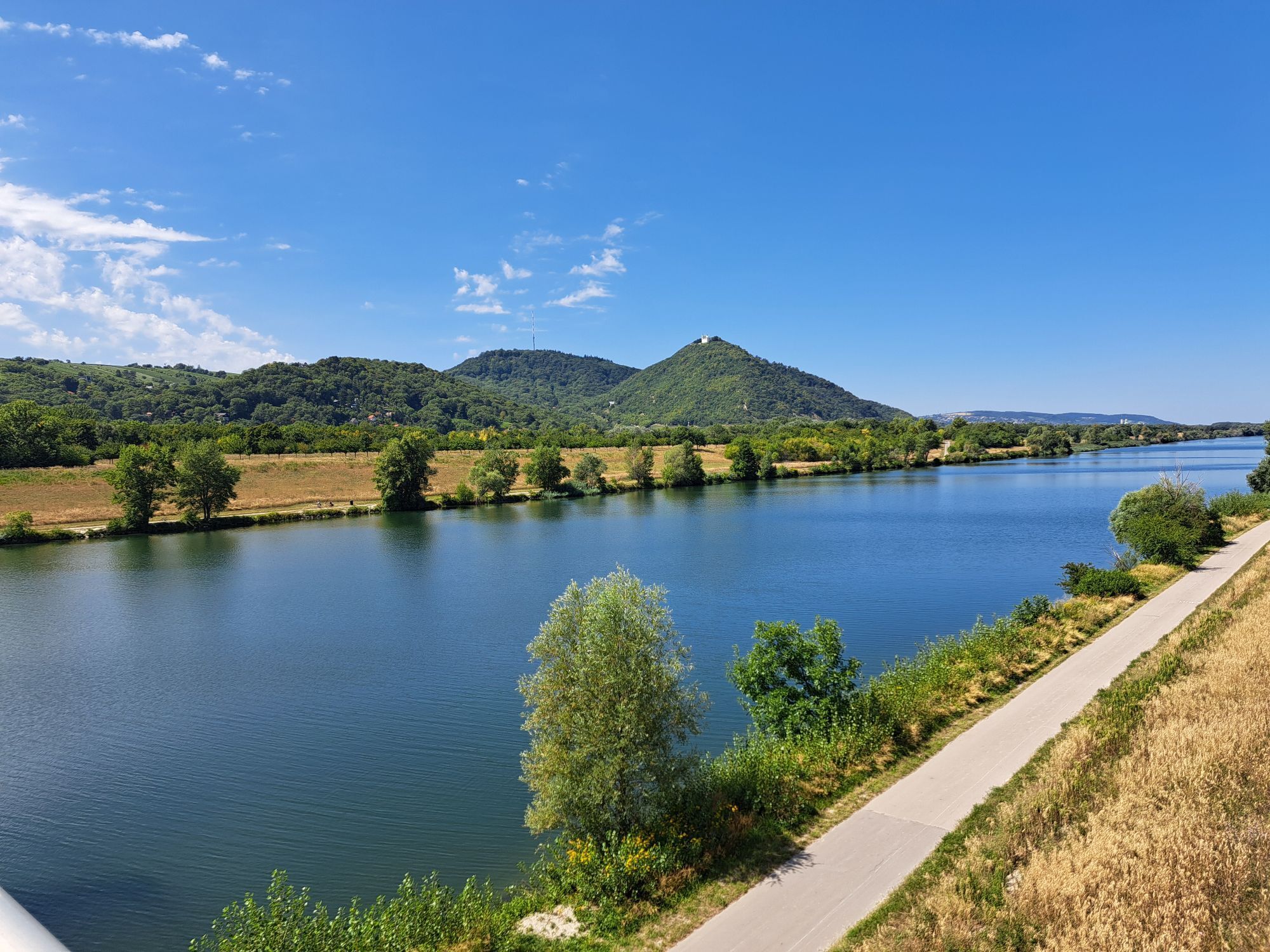
Ruta
Heuriger-Restaurant Bretz - Kapelle hl. Johannes Nepomuk - Klosterkirche Maria Immaculata - Großebersdorf
medio
Ciclismo de carrera
47,41
km
Heuriger-Restaurant Bretz
(176 m)
Restaurante
0,0 km
Großebersdorf
(173 m)
Pueblo
0,0 km
Bründlern
(181 m)
Corredor/terreno
0,4 km
Putzing am See
(176 m)
Pueblo
0,9 km
Kapelle hl. Johannes Nepomuk
(188 m)
Lugar de culto
2,7 km
Enzersfeld
(184 m)
Pueblo
2,9 km
Landgasthaus Hofbauer
(184 m)
Restaurante
3,0 km
Pfarrkirche Maria Geburt
(186 m)
Lugar de culto
3,1 km
Königsbrunn
(204 m)
Pueblo
4,7 km
Hagenbrunn
(218 m)
Pueblo
7,0 km
Stammersdorf
(166 m)
Barrio
10,5 km
Klosterkirche Maria Immaculata
(165 m)
Lugar de culto
12,1 km
Strebersdorf
(164 m)
Barrio
12,2 km
Langenzersdorf
(167 m)
Pueblo
15,0 km
Klosterneuburg
(194 m)
Ciudad
16,2 km
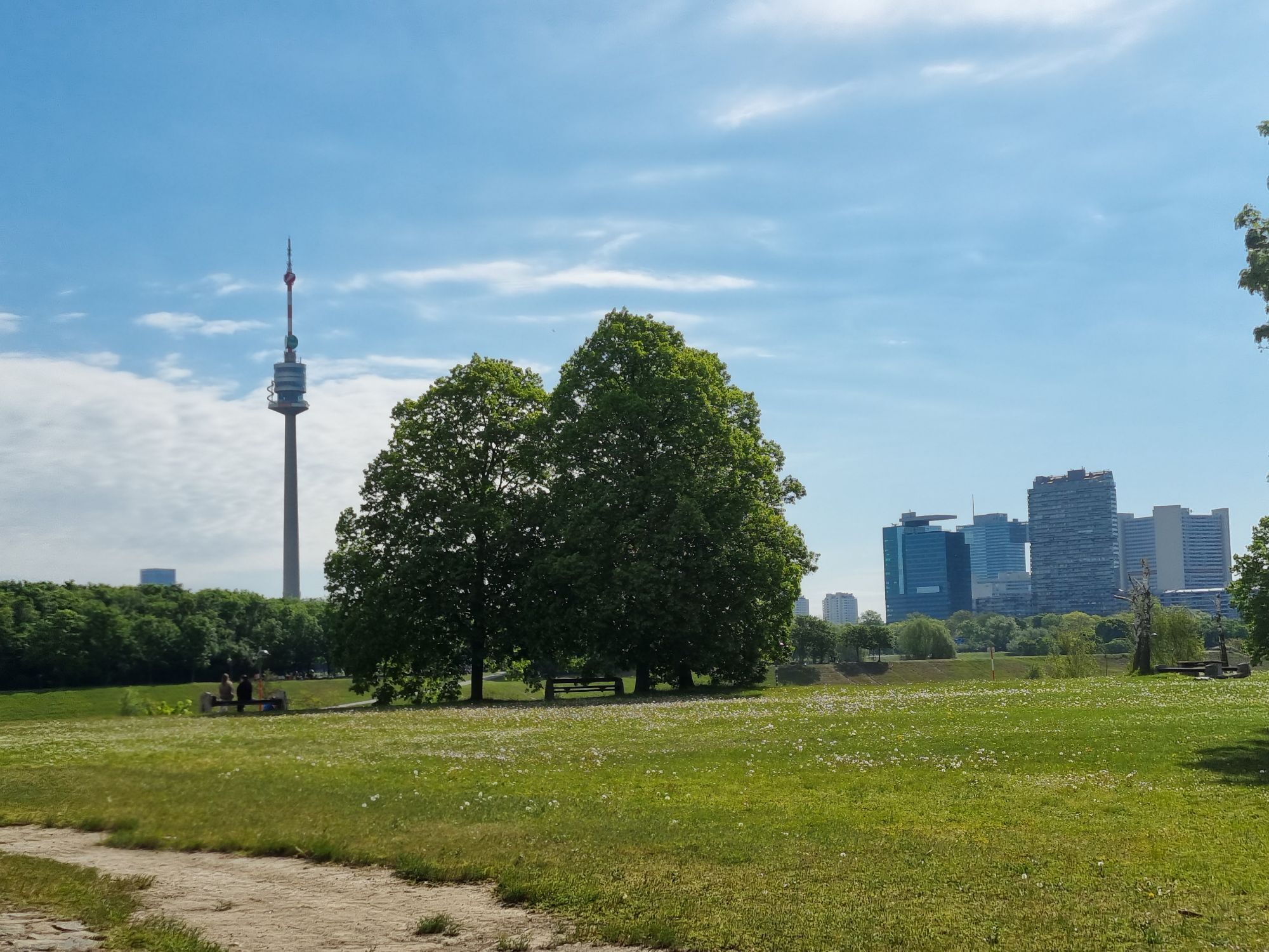
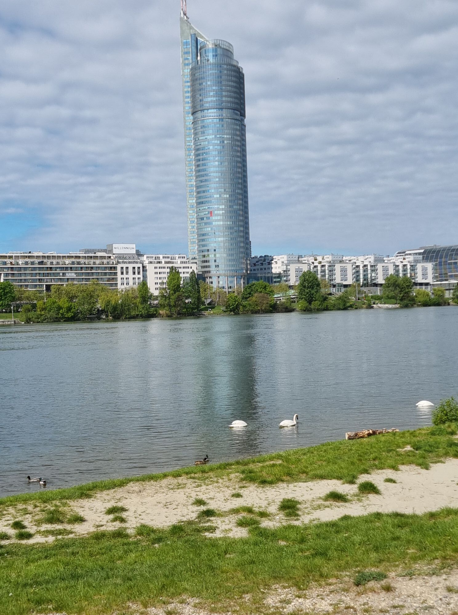
Viena
(542 m)
Ciudad
23,7 km
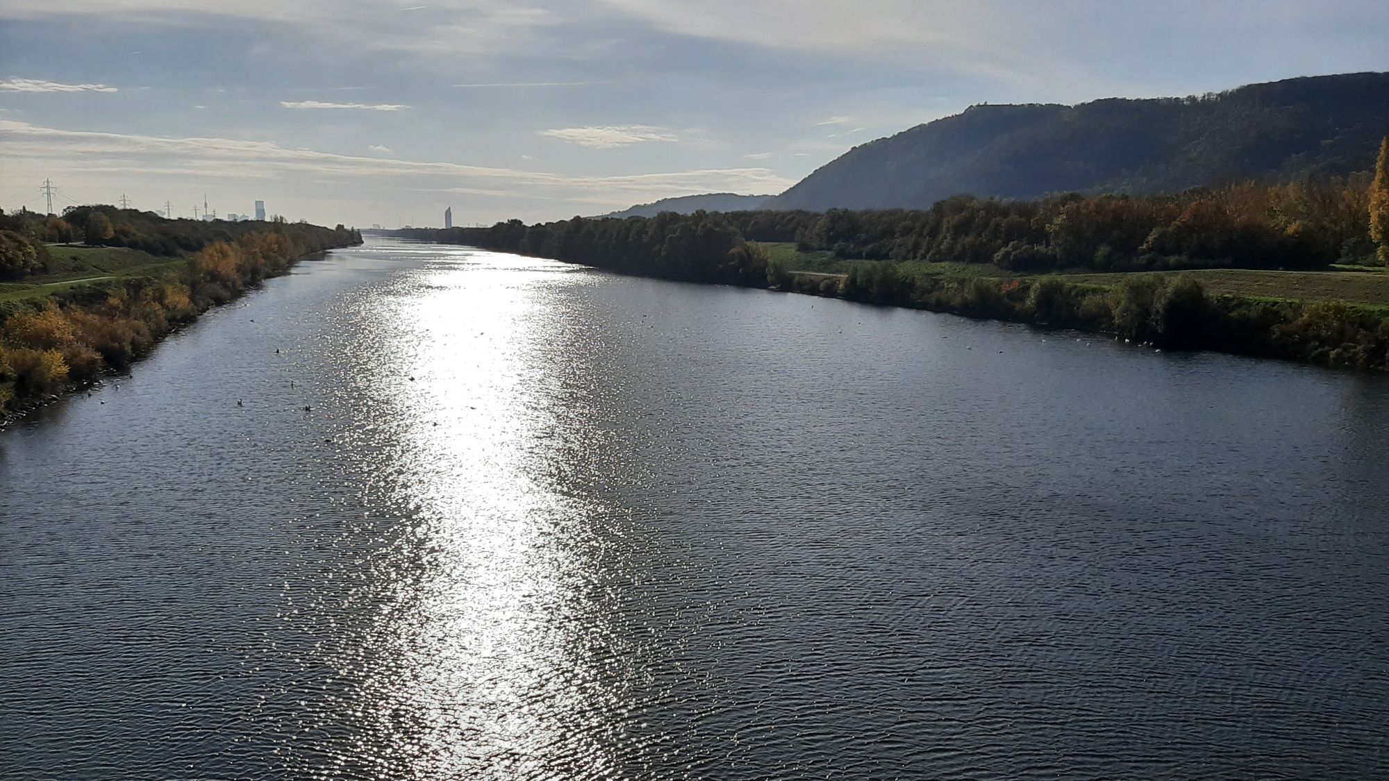
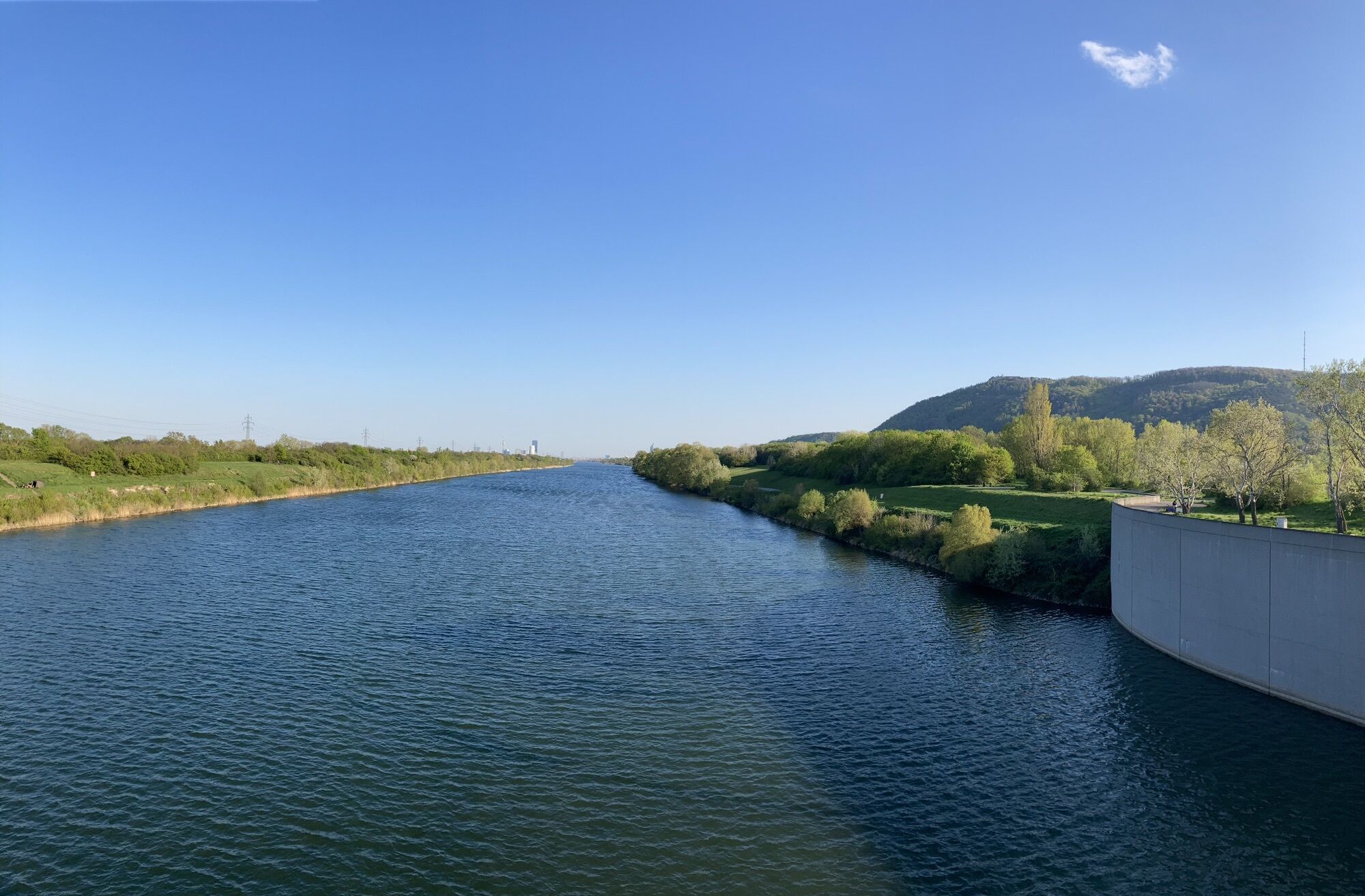
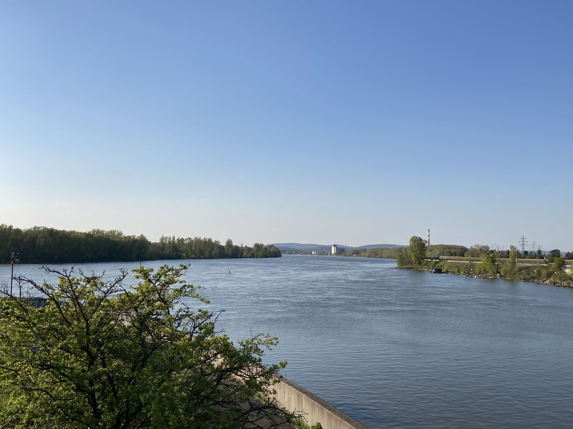
Neue Donau
(163 m)
Estación de ferrocarril
25,1 km
Floridsdorfer Brücke
(158 m)
Embarcadero
25,3 km
Schilfhütte
(168 m)
Restaurante
28,2 km
Klosterneuburg
(194 m)
Ciudad
32,8 km
Donaurestaurant Tuttendörfl
(167 m)
Restaurante
35,3 km
Bisamberg
(169 m)
Pueblo
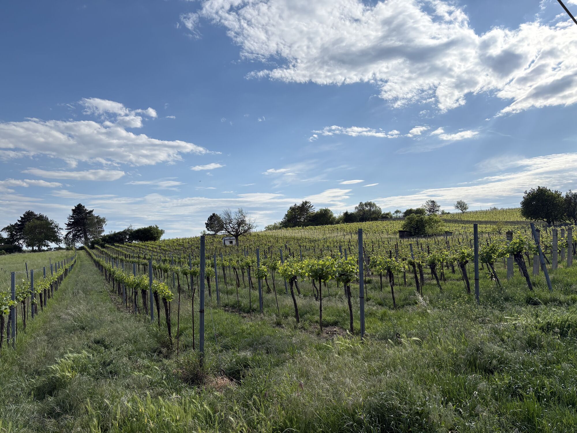
37,6 km
Flandorf
(186 m)
Pueblo
40,4 km
Pfarrkirche Maria Geburt
(186 m)
Lugar de culto
44,2 km
Landgasthaus Hofbauer
(184 m)
Restaurante
44,3 km
Enzersfeld
(184 m)
Pueblo
44,4 km
Kapelle hl. Johannes Nepomuk
(188 m)
Lugar de culto
44,6 km
Putzing am See
(176 m)
Pueblo
46,4 km
Bründlern
(181 m)
Corredor/terreno
46,9 km
Heuriger-Restaurant Bretz
(176 m)
Restaurante
47,4 km
Großebersdorf
(173 m)
Pueblo
47,4 km
Autor
Proporcionado por Bergfex Tour Generator
Compartir gira
Heuriger-Restaurant Bretz - Kapelle hl. Johannes Nepomuk - Klosterkirche Maria Immaculata - Großebersdorf
medio
Ciclismo de carrera
47,41
km
Error
Se ha producido un error. Por favor, inténtelo de nuevo.
Aún no hay opiniones
Webcams del recorrido
Rutas populares en los alrededores
-
5,0
Stadtwanderweg 1
luzSenderismo 11,1 km -
4,9
Stadtwanderweg #2, Hermannskogel, Top of Vienna 😆
luzSenderismo 11,1 km -
4,7
Nasenweg Leopoldsberg Rundweg
medioSenderismo 4,08 km -
4,6
Stadtwanderweg 1a - Leopoldsberg / lt. Beschilderung
medioSenderismo 10,2 km -
4,5
Stadtwanderweg 4
luzSenderismo 8,48 km -
4,5
Stadtwanderweg 3, Hameau (lt. Beschilderung)
luzSenderismo 9,78 km -
4,5
Stadtwanderweg 5 Bisamberg (lt. Beschilderung)
luzSenderismo 10,5 km -
4,4
Stadtwanderweg 9 - Prater / lt. Beschilderung
luzSenderismo 13,0 km -
4,6
Vienna's highest peaks: Leopoldsberg, Kahlenberg and Hermannskogel
luzSenderismo 13,6 km -
4,5
Wien: Bisamberg - Elisabethhöhe
Senderismo 7,69 km

Senderismo y rastreo

Más de 550.000 sugerencias de excursiones, mapas detallados y un intuitivo planificador de rutas hacen de esta aplicación una herramienta imprescindible para todos los amantes de la naturaleza.

No se pierda las ofertas y la inspiración para sus próximas vacaciones
Suscribirse al boletín de noticias
Error
Se ha producido un error. Por favor, inténtelo de nuevo.
Gracias por inscribirse
Su dirección de correo electrónico se ha añadido a la lista de correo.
Viajes por Europa
Austria
Suiza
Alemania
Italia
Eslovenia
Francia
Países Bajos
Belgium
Polonia
Liechtenstein
República Checa
Slovakia
España
Croacia
Bosnia y Herzegovina
Luxemburgo
Andorra
Portugal
Iceland
United Kingdom
Ireland
Greece
Albania
North Macedonia
Malta
Norway
Montenegro
Moldova
Kosovo
Hungary
San Marino
Romania
Estonia
Latvia
Belarus
Cyprus
Lithuania
Serbia
Bulgaria
Monaco
Denmark
Sweden
Finland