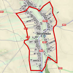
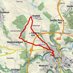
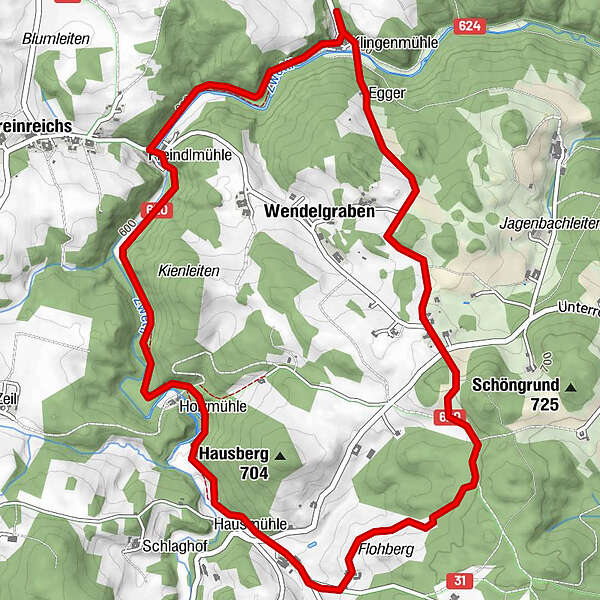
ZWalk - Wurmbrand - Zwischen Klingen- und Hausmühle

Nordic Walking

© ZWalk.at

© ZWalk.at

© ZWalk.at
Datos del tour
7,01km
590
- 702m
141hm
141hm
02:00h
- Breve descripción
-
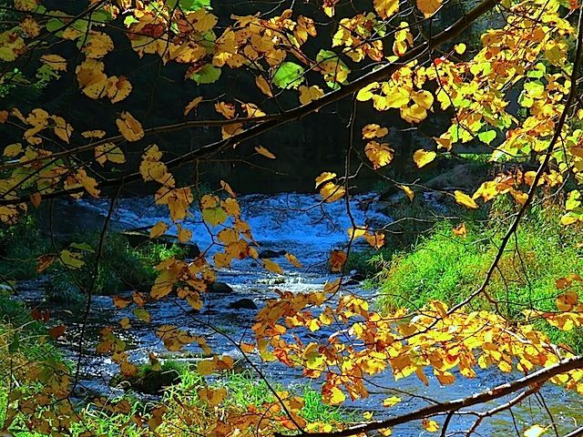
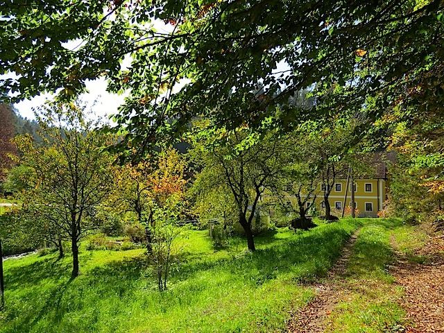
Die Tour führt durch eine typische, leicht hügelige Waldviertler Landschaft. Es geht durch Felder, Wiesen und Wälder, die sich ständig abwechseln.
- Dificultad
-
fácil
- Valoración
-
- Punto de salida
-
Klingenmühle (Sägewerk Dorn)
- Ruta
-
Wendelgraben5,9 km
- Punto álgido
- 702 m

- Fuente
- ZWalk
GPS Downloads


Más circuitos por las regiones