ZWalk - Bärnkopf - Der Weinsbergweg

Nordic Walking
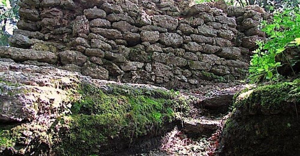
© ZWalk.at
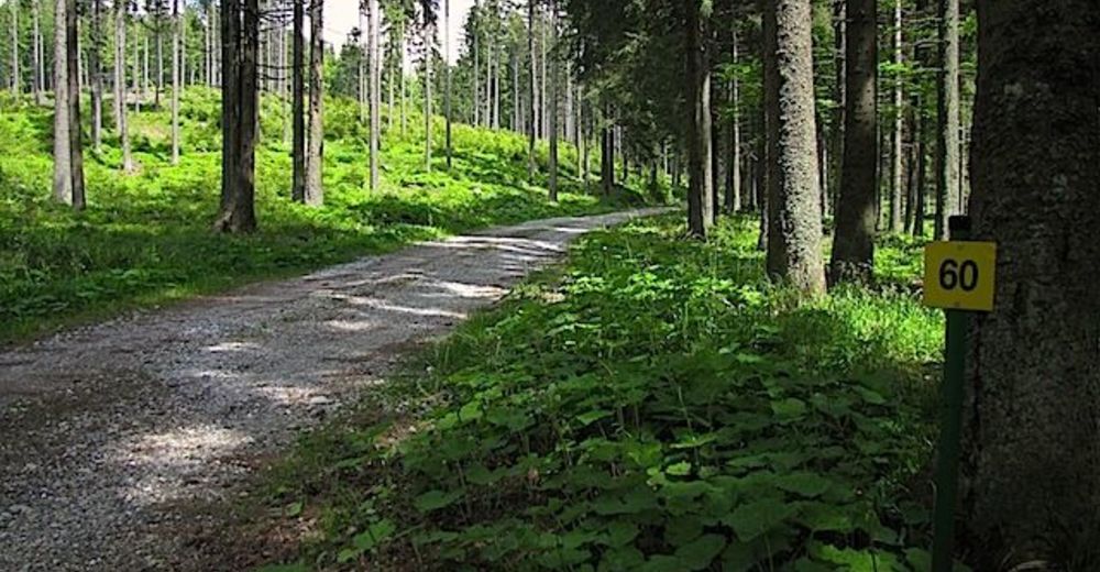
© ZWalk.at
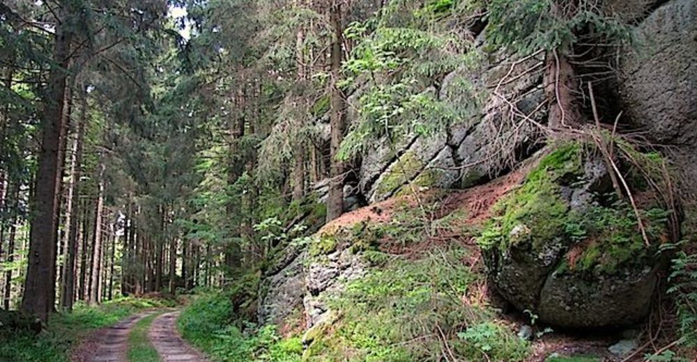
© ZWalk.at
Datos del tour
8,22km
910
- 1.017m
119hm
02:30h

- Breve descripción
-
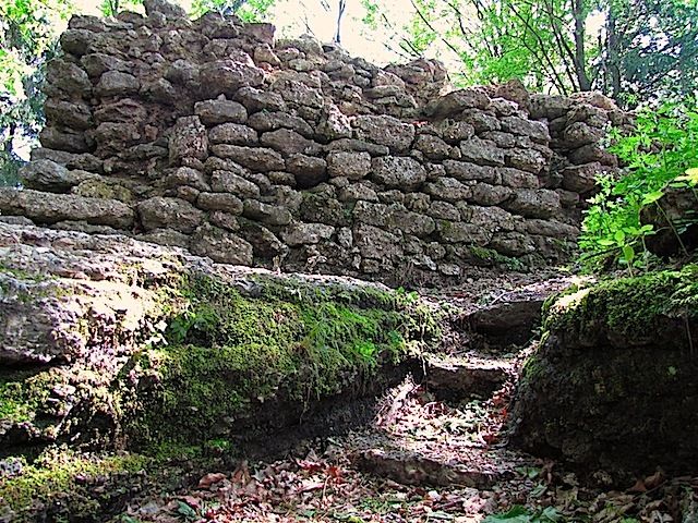
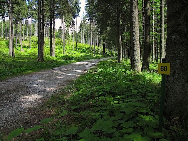
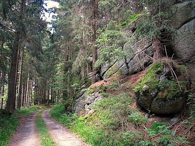
Die Tour führt durch eine typische, leicht hügelige Waldviertler Landschaft. Es geht durch Felder, Wiesen und Wälder, die sich ständig abwechseln.
- Dificultad
-
fácil
- Valoración
-
- Punto de salida
-
Bärnkopf
- Ruta
-
Pfarrkirche St. Anna0,0 kmBärnkopf0,1 kmWeinsberg (1.041 m)4,2 kmPfarrkirche St. Anna8,0 kmBärnkopf8,0 km
- Punto álgido
- 1.017 m
- Fuente
- ZWalk
GPS Downloads


Más circuitos por las regiones


