© (C) Wolfgang Wutzl - Wolfgang Wutzl
- Breve descripción
-
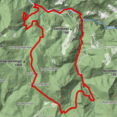
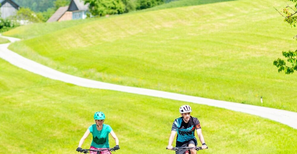
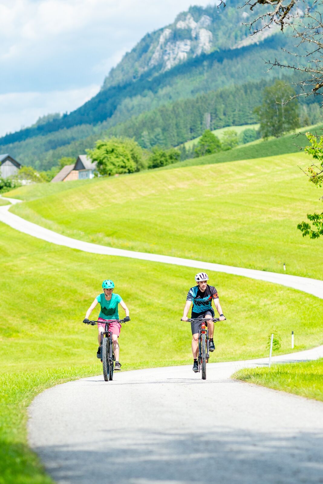
Die Randegger Höhenrunde belohnt mit einmaligen Ausblicken. Abwechslungsreich führt sie über Asphalt- und Forststraßen sowie Wiesen- und Feldwege über die Bergrücken von Randegg.
- Dificultad
-
difícil
- Valoración
-
- Ruta
-
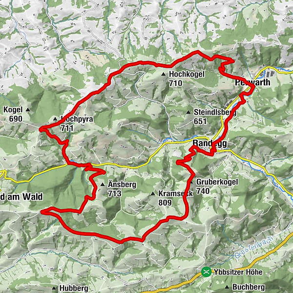
Randegg0,0 kmGruberkogel (740 m)3,8 kmFünfhaus16,5 kmPanoramastüberl22,6 kmPerwarth29,2 kmRandegg32,4 km
- La mejor temporada
-
enefebmarabrmayjunjulagosepoctnovdic
- Punto álgido
- 829 m
- Punto final
-
Randegg, Parkplatz beim Freibad
- Perfil alto
-

- Autor
-
La gira Randegger Höhenrunde es utilizado por outdooractive.com proporcionado.
GPS Downloads


Información general
Punto de avituallamiento
Vistas panorámicas
Más circuitos por las regiones
-
Mostviertel
151
-
Eisenstraße Niederösterreich
65
-
Randegg
14