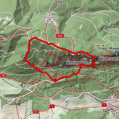
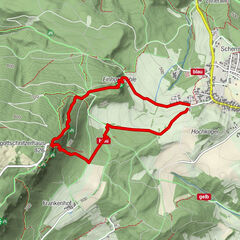
Datos del tour
1,29km
593
- 856m
192hm
263hm
00:26h

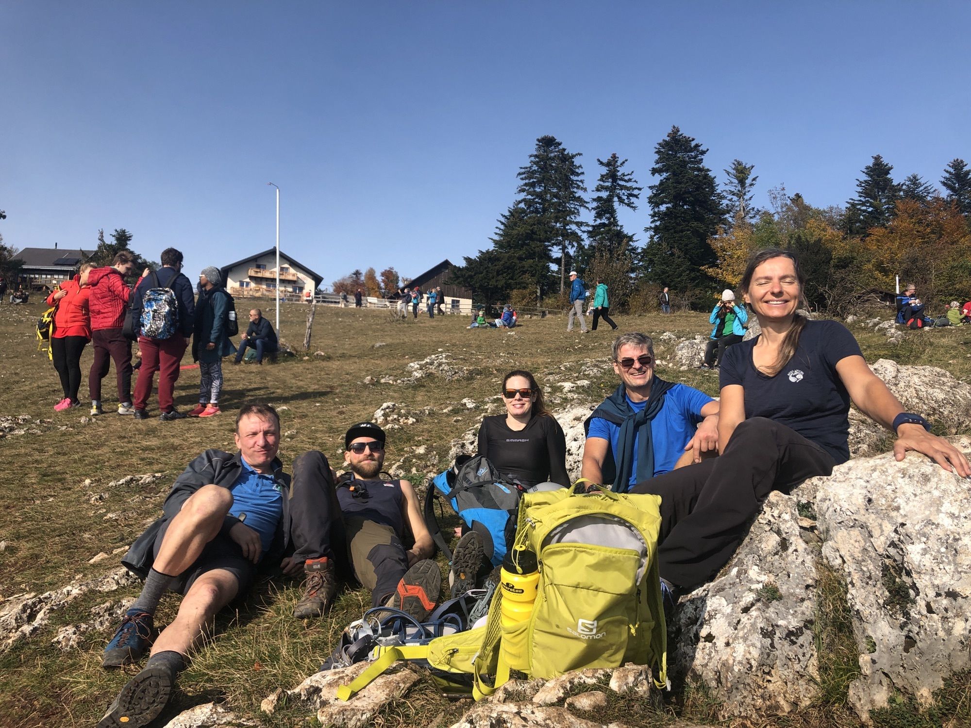
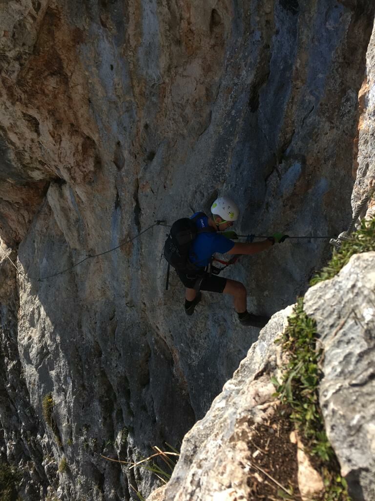
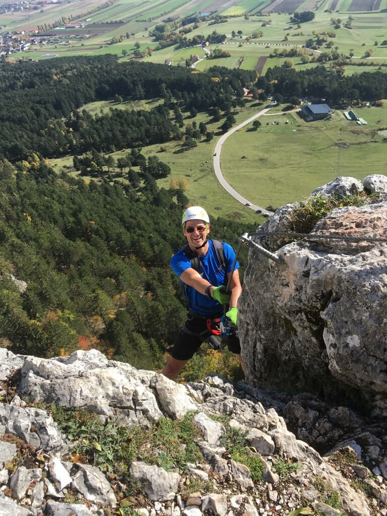
- Breve descripción
-
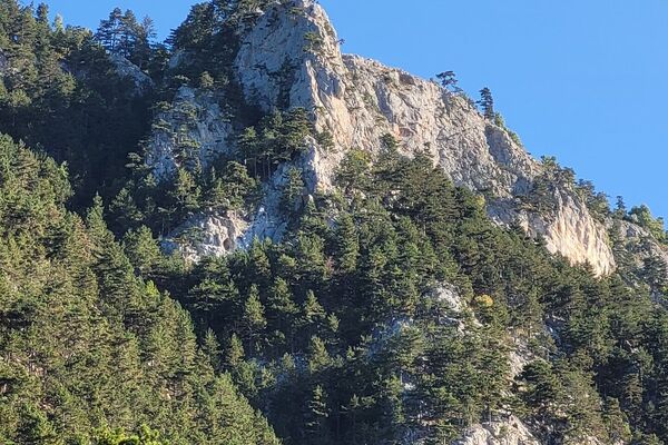
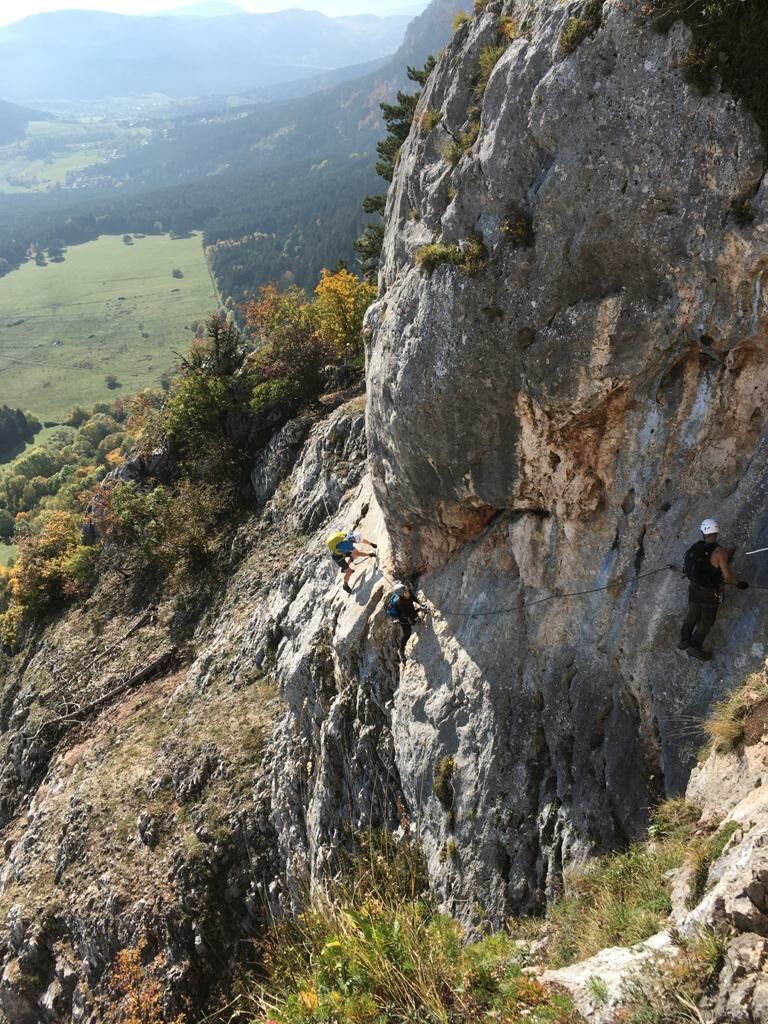
ÖTK-Steig - herausfordernd
- Dificultad
-
difícil
- Valoración
-
- Ruta
-
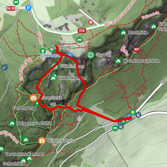
Hofrat-Schwarzer-Rast0,3 kmSonnenuhrhöhle0,3 kmVöllerinquelle0,6 kmVöllerinloch0,6 kmVöllerinkammer0,7 kmMilakloch0,9 kmMilak-Turm1,0 km
- Punto álgido
- 856 m


GPS Downloads


Más circuitos por las regiones