© Waldviertel Tourismus - Destination Waldviertel
© Waldviertel Tourismus, Studio Kerschbaum - Destination Waldviertel


- Breve descripción
-
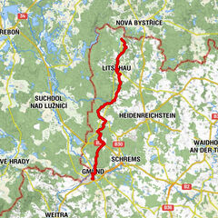
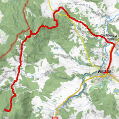
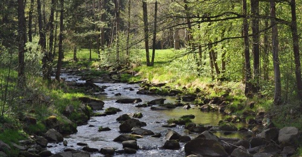
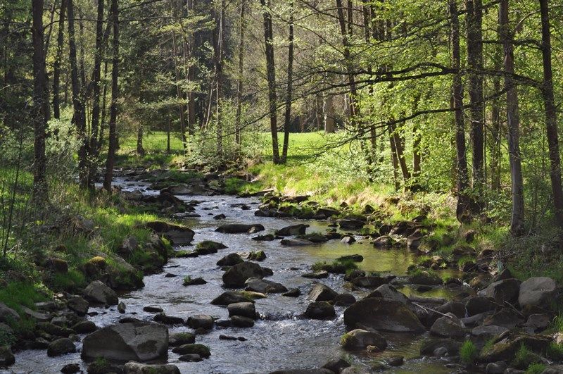
The cross-border long-distance hiking trail leads on four stages from the source of the Lainsitz River in Karlstift to the small town of Chlum in the Czech Republic.
- Dificultad
-
medio
- Valoración
-
- Ruta
-
Lainsitzursprung0,0 kmDreifaltigkeitskapelle0,5 kmEichelberg (1.054 m)0,5 kmPfarrkirche St. Karl Borromäus1,4 kmKarlstift1,5 kmGasthof Zeiler1,8 kmKirschbaumleiten4,1 kmSteinplötzen7,7 kmFiedlwiesen9,0 kmEisenwerk10,0 kmAngelbach11,9 kmSteinbach16,9 kmOberlainsitz17,6 kmZeil20,1 kmGasthof Weninger20,4 kmSt. Martin20,4 kmRoßbruck22,2 kmSchöllbüchl23,0 kmAnger23,9 kmLangfeld25,0 kmSchützenberg25,7 kmHolzhackerquelle Johannesbründl26,7 kmWeitra28,2 kmUlrichs31,0 kmMalerwinkel46,9 kmGmünd47,2 kmGrillenstein47,2 kmBrunngraben47,8 kmJausenstation Schutzhaus47,9 kmHubertuskapelle47,9 kmLatschenhütte48,5 kmGroßeibenstein48,8 kmGasthaus Gruböck48,8 kmKleineibenstein49,8 kmWaldhäuseln52,6 kmZum gekreuzigten Heiland54,1 kmSteinbach54,2 kmGasthof Pension Renate Krupik54,2 kmAlt-Nagelberg (508 m)57,4 kmHolzschlag58,3 kmBrand (540 m)60,1 kmGopprechts65,7 kmSchönauhäuser65,8 kmReichenbach67,8 kmHöllstein-Graselhöhle70,1 kmLitschau73,2 kmLitschau73,3 kmPfarrkirche Litschau hl. Michael73,3 kmBruno's Bierinsel73,4 kmGasthof Kaufmann73,5 kmPraschlhöhle77,3 kmLitschauerhöhle77,4 kmGrabenloch77,4 kmBlockhöhle77,4 kmBlockhöhle II77,4 kmBlockhöhle III77,5 kmJosefsthal79,0 km
- Punto álgido
- 1.033 m
- Punto final
-
Chlum (CZ)
- Perfil alto
-


- Autor
-
La gira The path along the Lainsitz es utilizado por outdooractive.com proporcionado.
GPS Downloads


Información general
Punto de avituallamiento
Secreto
Más circuitos por las regiones
-
Waldviertel
1778
-
Oberes Waldviertel
615
-
Gmünd im Waldviertel
131