Tell-Trail stage 3: Brunnen - Rigi Kaltbad - Lucerne

Senderismo
© Region Luzern-Vierwaldstättersee - Switzerland Tourism / Silvano Zeiter

© Region Luzern-Vierwaldstättersee - Switzerland Tourism / Silvano Zeiter

- Breve descripción
-
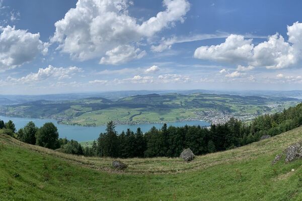
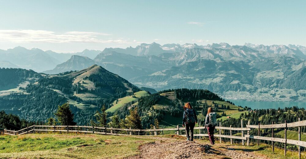
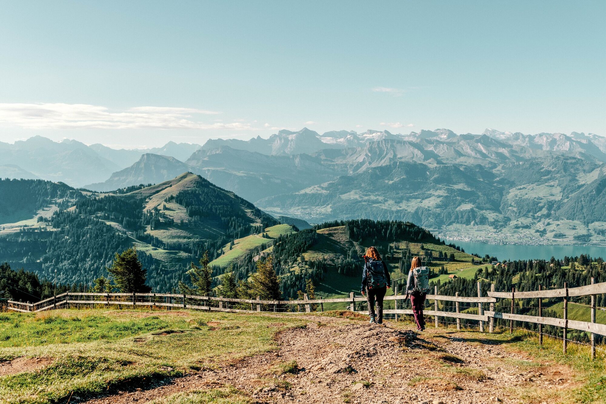
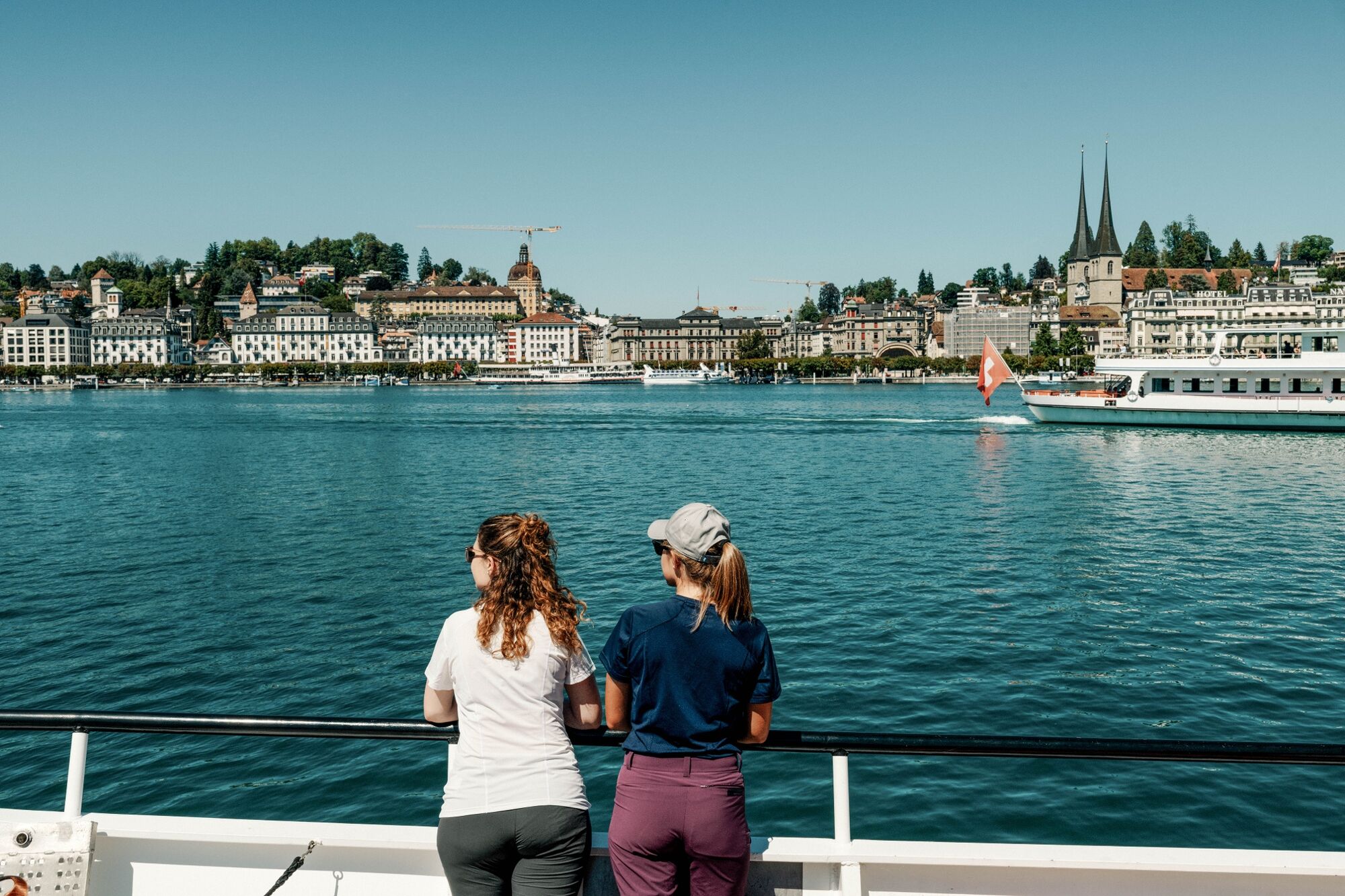
The third stage of the Tell Trail leads from Brunnen over the Gätterli pass to Rigi Kaltbad. Then it's a cog railway ride down to Vitznau followed by a boat trip to Lucerne.
- Dificultad
-
medio
- Valoración
-
- Ruta
-
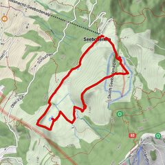
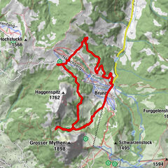
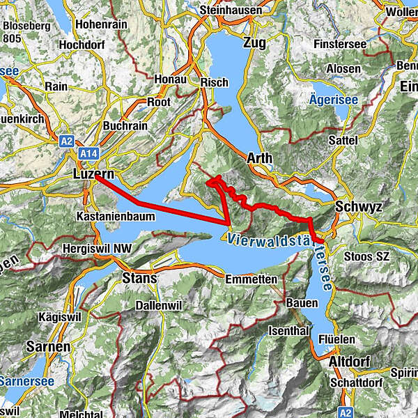
BrunnenLandungssteg SGV Brunnen0,0 kmBrunnen (440 m)1,7 kmBergrestaurant Timpelweid3,0 kmUrmiberg (1.140 m)3,0 kmObertimpel3,0 kmSchwand3,2 kmZum Gätterlipass6,7 kmBurggeist9,2 kmRigi First15,1 kmRigi Rotstock (1.650 m)16,5 kmKänzeli (1.464 m)18,6 kmFelsenkapelle19,2 kmRigi Kaltbad19,4 kmRigi Kaltbad-First (1.440 m)19,4 kmTeufibalm20,0 kmVitznau (1.025 m)21,4 kmTribschen (435 m)26,8 kmLandungssteg28,0 kmLandungssteg 1 (SGV) Bahnhofquai28,7 kmLucerna (436 m)36,1 km
- La mejor temporada
-
enefebmarabrmayjunjulagosepoctnovdic
- Punto álgido
- 1.649 m
- Punto final
-
Lucerne
- Perfil alto
-
 © outdooractive.com
- Autor
-
La gira Tell-Trail stage 3: Brunnen - Rigi Kaltbad - Lucerne es utilizado por outdooractive.com proporcionado.
GPS Downloads


Información general
Punto de avituallamiento
Más circuitos por las regiones
-
Nidwalden
1832
-
Rigi - Berg und See
908
-
Vitznau
346