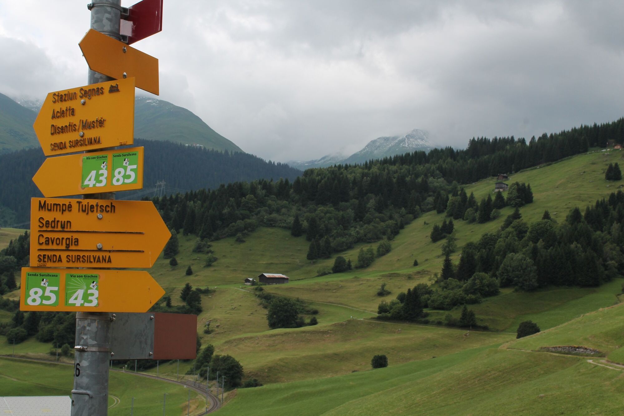
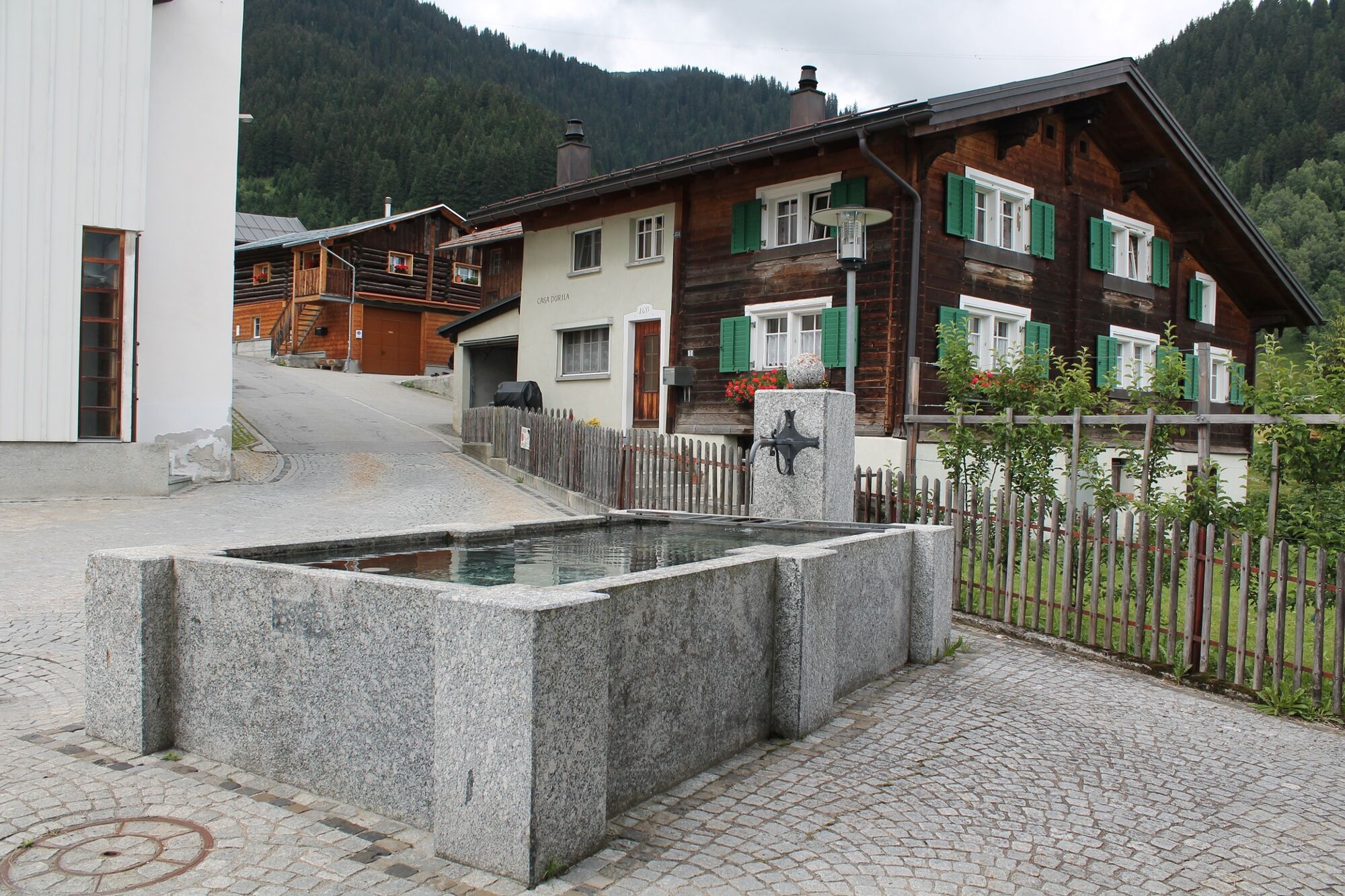
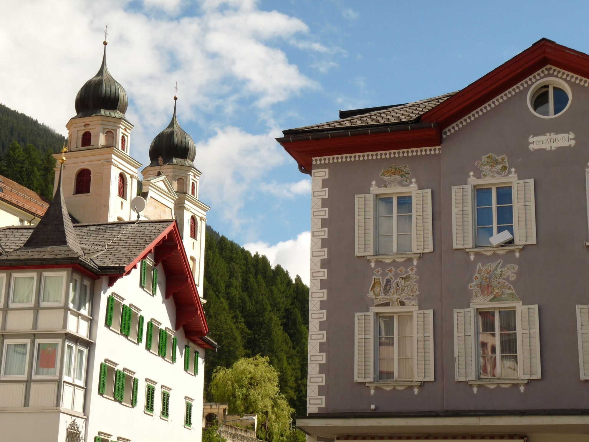
Oberalppass - Sedrun - Disentis, valley hike

Senderismo
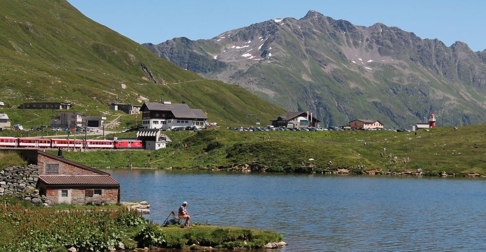
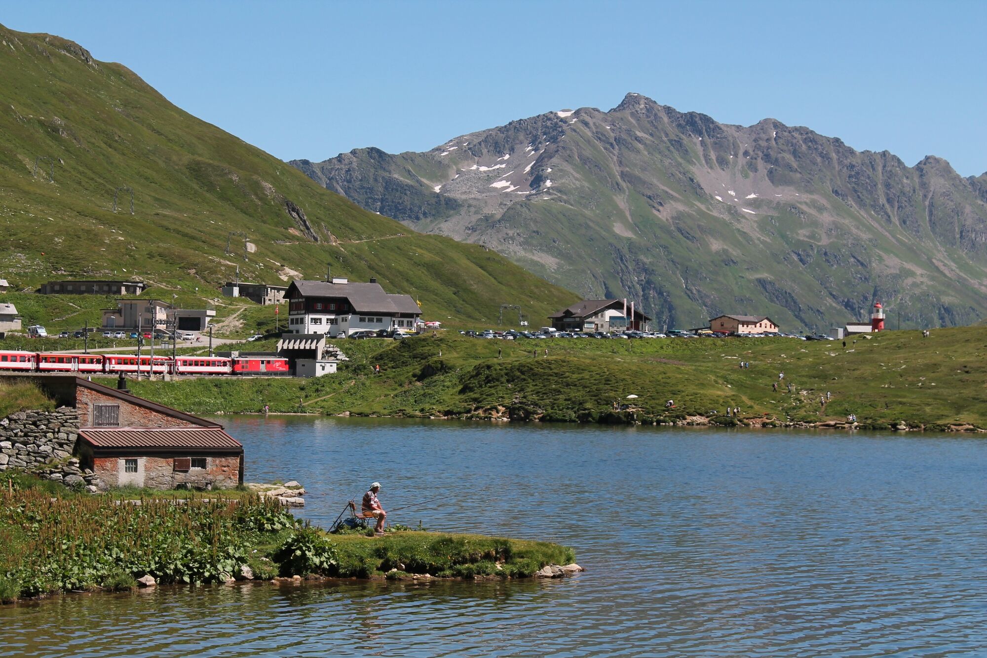
© Sedrun Disentis Tourismus - Heidi Meier

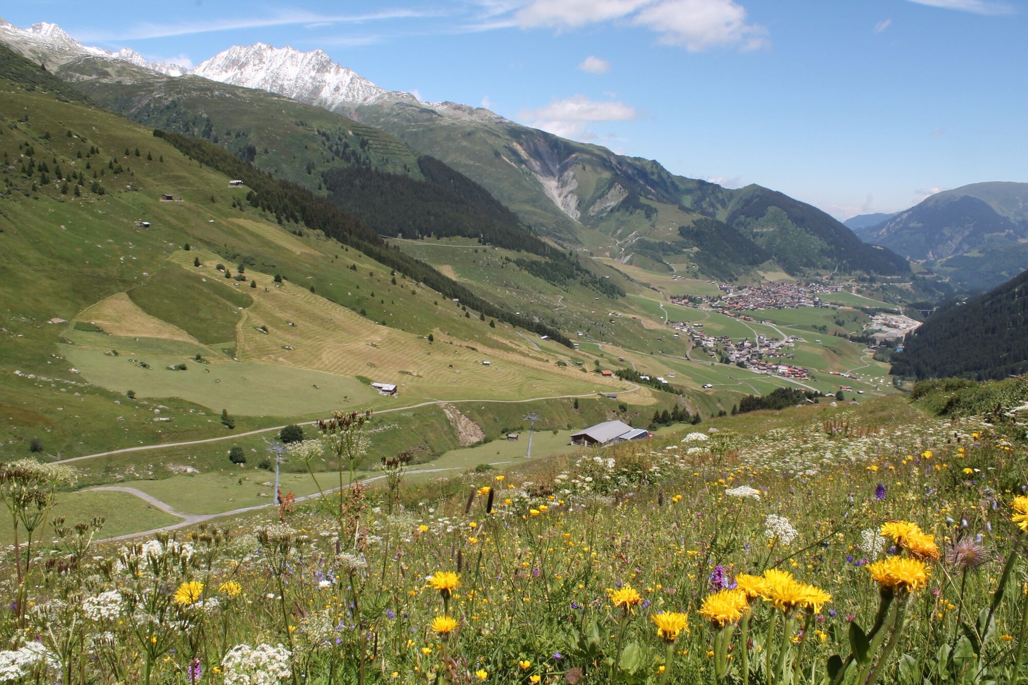
© Sedrun Disentis Tourismus - Heidi Meier

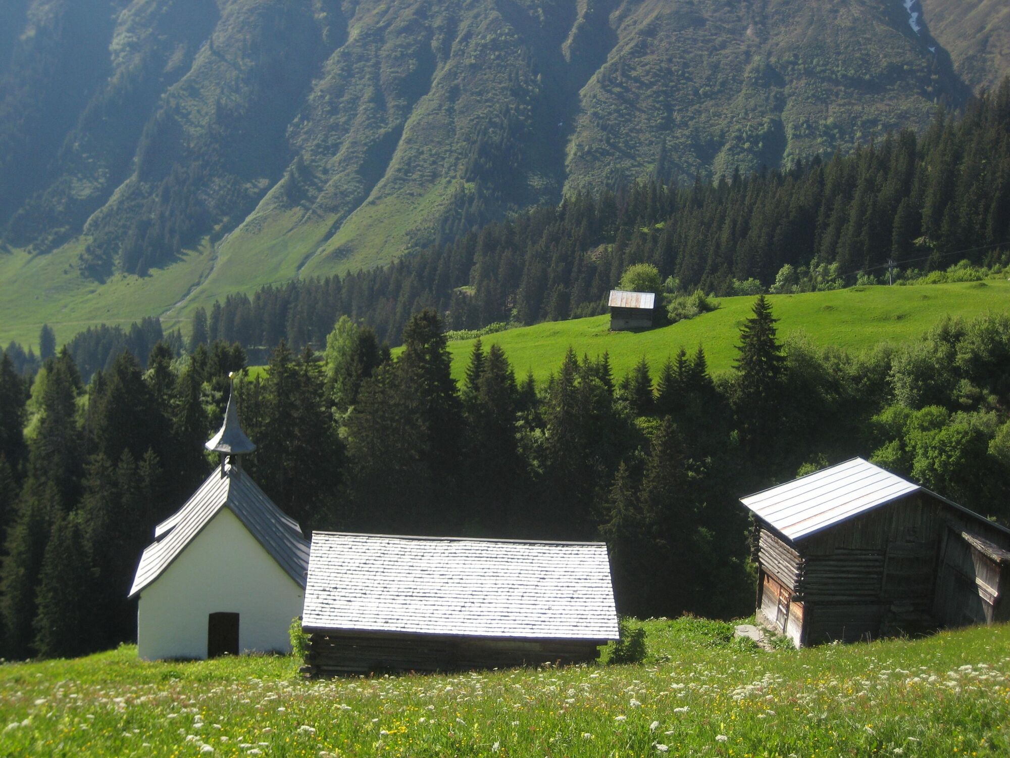
© Sedrun Disentis Tourismus - Heidi Meier

© Sedrun Disentis Tourismus - Heidi Meier

© Sedrun Disentis Tourismus - Heidi Meier

© Sedrun Disentis Tourismus - Heidi Meier

© Sedrun Disentis Tourismus - Heidi Meier

© Sedrun Disentis Tourismus - Heidi Meier

© Sedrun Disentis Tourismus - Heidi Meier

© Sedrun Disentis Tourismus - Heidi Meier
- Breve descripción
-
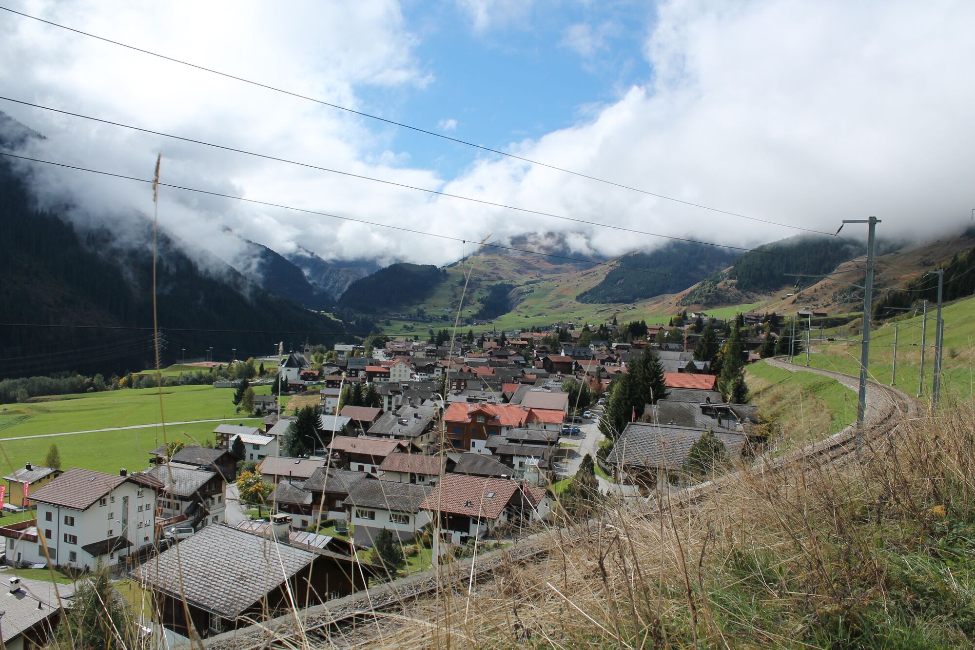
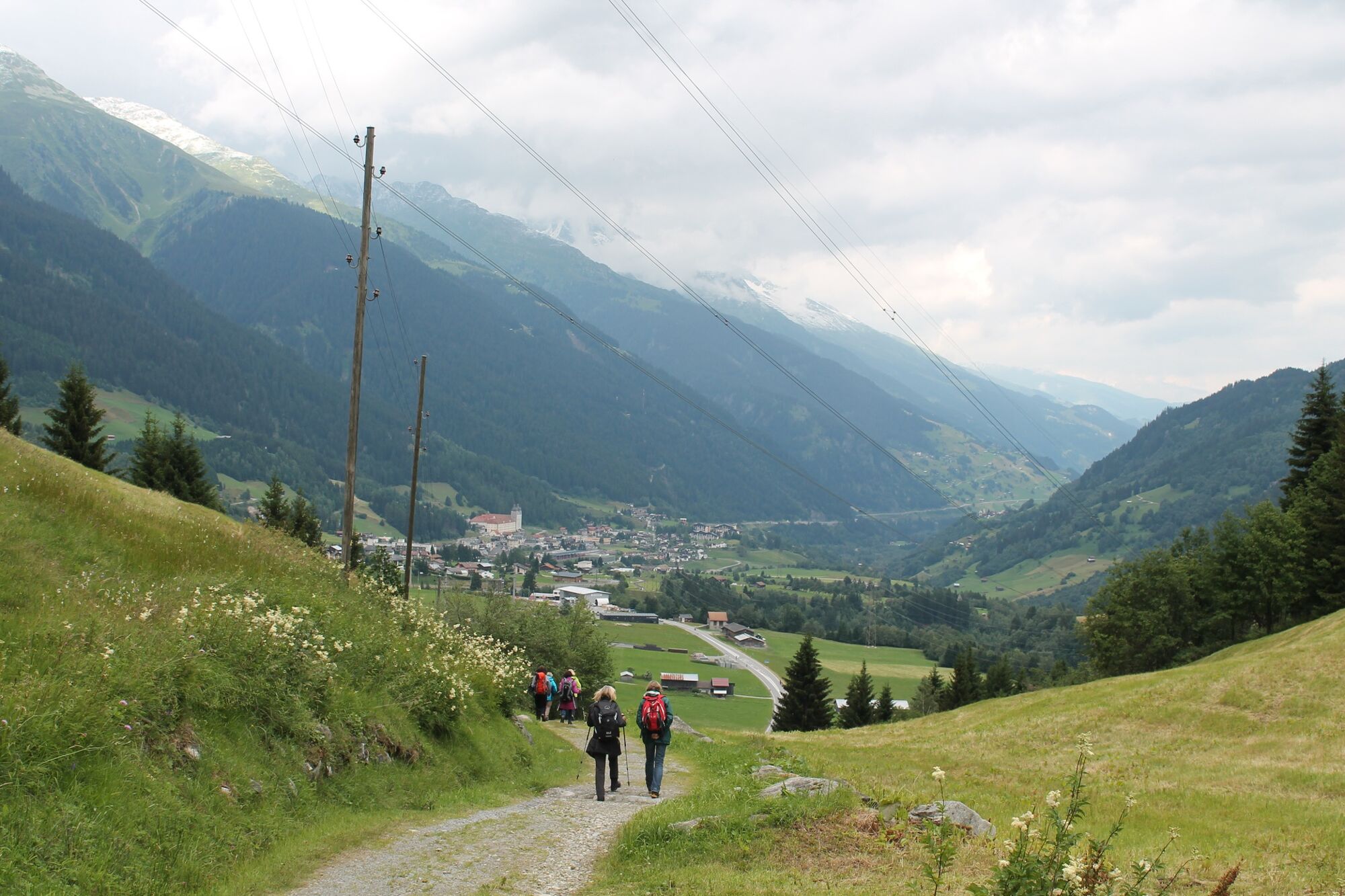
Always on the sunny side of the valley, over the Alps and through pretty villages and districts.
- Dificultad
-
medio
- Valoración
-
- Ruta
-
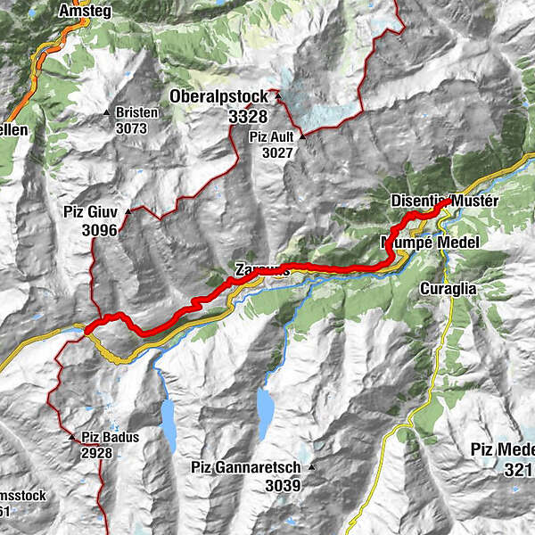
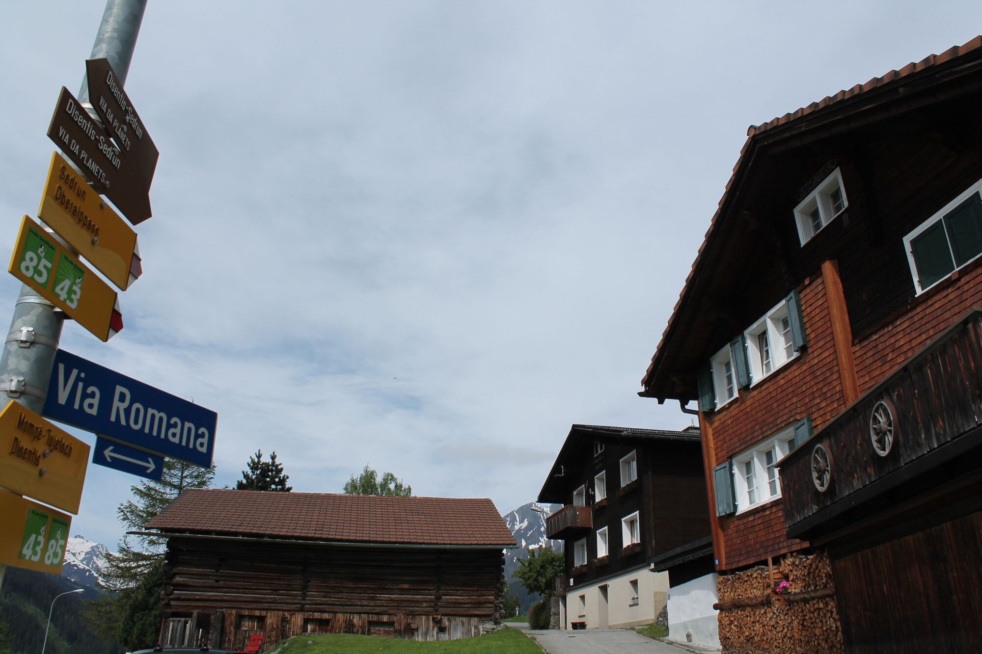
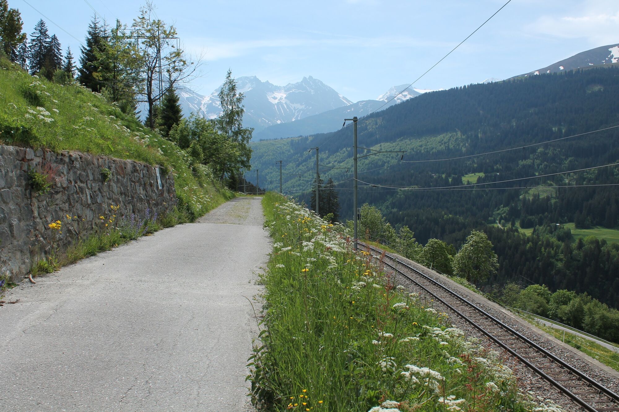
Piz Calmot0,0 kmOberalppass0,1 kmPass Tiarms (2.148 m)0,8 kmMilez4,9 kmKappelle Giuv7,1 kmRueras8,7 kmZarcuns9,5 kmSedrun (1.441 m)10,2 kmCamischolas10,2 kmSedrun11,0 kmBugnei12,1 kmCaplutta S. Giusep12,2 kmCurschettas14,9 kmMumpé Tujetsch15,1 kmSum Craps15,3 kmBegl da Trutg15,5 kmMuschnei16,0 kmVal Sut16,1 kmPlauncas Sut16,2 kmUstria Cresta16,6 kmSegnas16,7 kmPeisel16,9 kmAcletta17,9 kmMaria Immaculata18,0 kmSteak Houses Chevrina18,5 kmSontga Catrina18,5 kmBaselgia S. Gion19,5 kmDisentis19,8 kmRaveras19,9 km
- La mejor temporada
-
enefebmarabrmayjunjulagosepoctnovdic
- Punto álgido
- 2.155 m
- Punto final
-
Disentis
- Perfil alto
-
 © outdooractive.com
-

-
AutorLa gira Oberalppass - Sedrun - Disentis, valley hike es utilizado por outdooractive.com proporcionado.
GPS Downloads


Información general
Punto de avituallamiento
Vistas panorámicas
Más circuitos por las regiones
-
Uri
1553
-
Disentis Sedrun
513
-
Tujetsch
160