Halbtagestour Melchsee-Frutt - Stöckalp

Senderismo
Datos del tour
5,62km
1.082
- 1.911m
803hm
803hm
04:00h
- Breve descripción
-
Auf dem Weg findet man Schratten- und Karrenfelder, sowie die wunderschöne Alpenflora
- Dificultad
-
medio
- Valoración
-
- Punto de salida
-
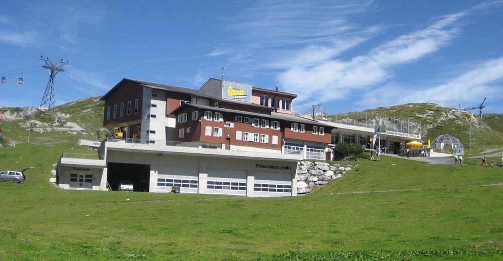
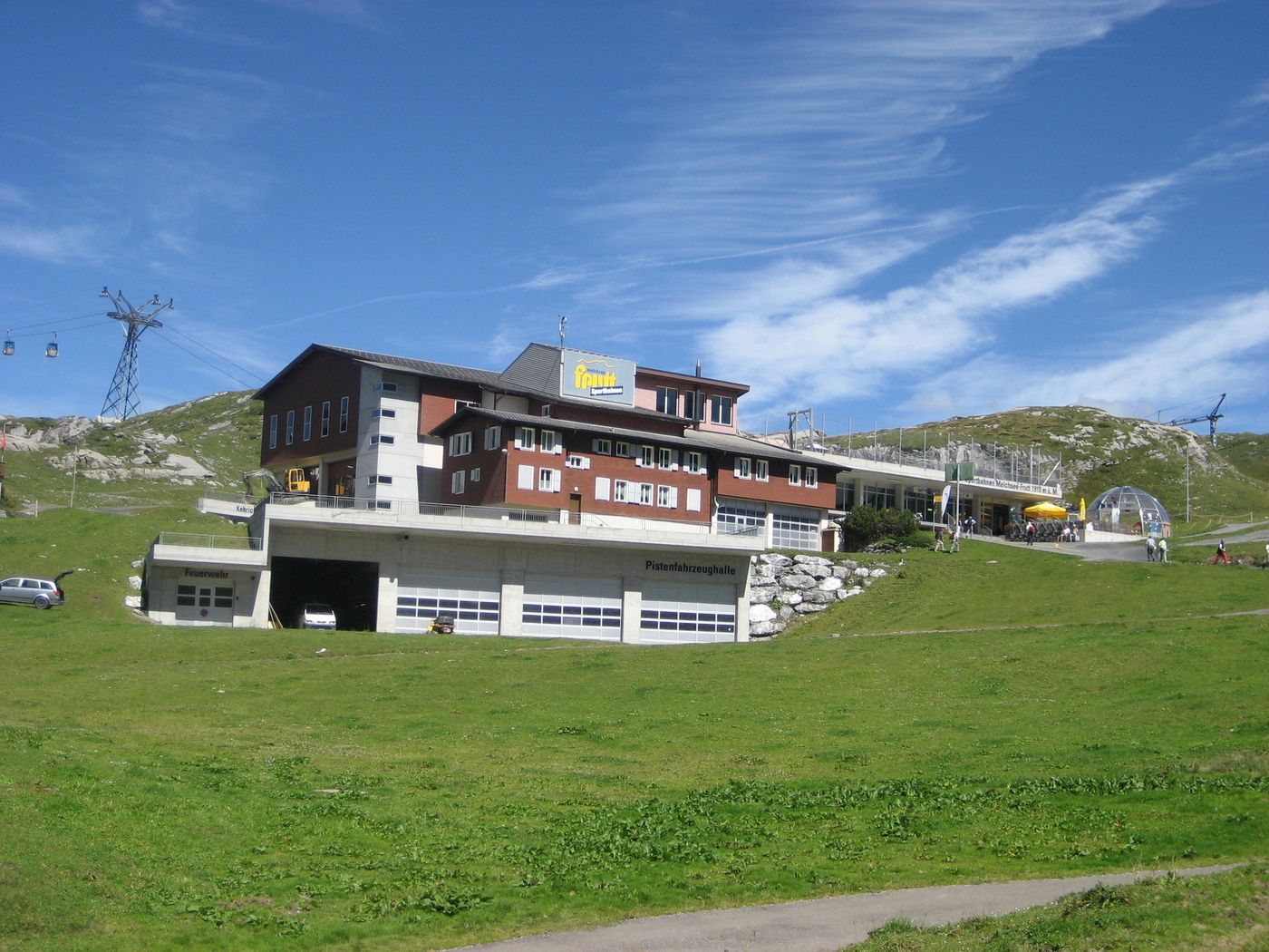
Melchsee-Frutt
- Ruta
-
Stöckalp (Stepfen)5,6 kmStöckalp (1.080 m)5,6 km
- La mejor temporada
-
enefebmarabrmayjunjulagosepoctnovdic
- Punto álgido
- Melchsee-Frutt (1.911 m)
- Descanso/Avituallamiento
-
Auf Melchsee-Frutt befinden sich diverse Restaurants / Hotels.
Auf Stöckalp; Gasthof Waldhaus - Material cartográfico
-
Tourismusbüro Kerns und Melchsee-Frutt
GPS Downloads


Superficie de carretera
Asfalto
Gravilla
Pradera
Bosque
Roca
Expuesto
Más circuitos por las regiones
-
Obwalden
2011
-
Melchsee - Frutt
857
-
Gadmen
173