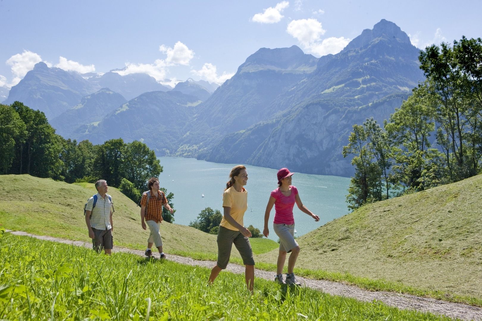
Kulinarische Wanderung entlang des «Weges der Schweiz»

Senderismo
© Region Luzern-Vierwaldstättersee - André Burri

- Breve descripción
-
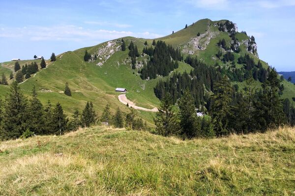
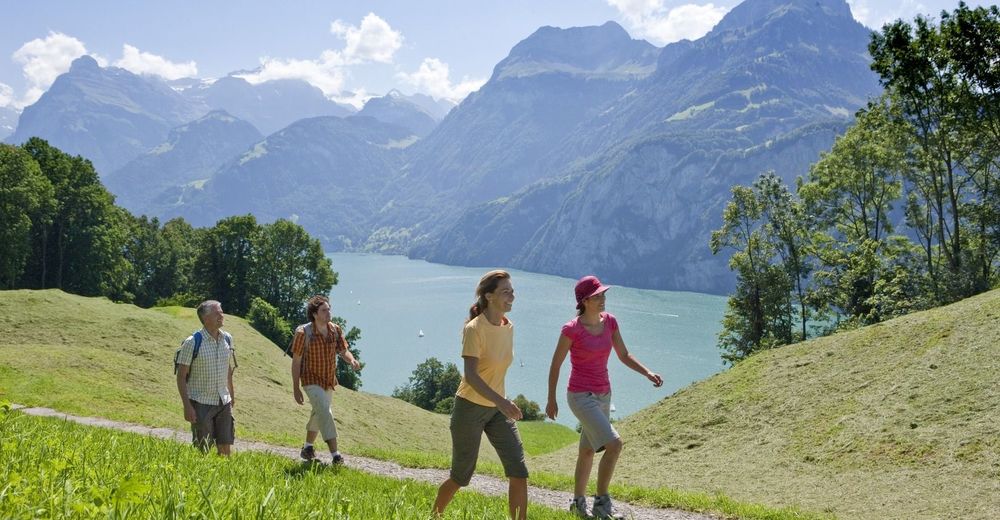
Gemütliche Wanderung vom historischen Rütli entlang des «Weges der Schweiz» zum idyllischen Bauen, begleitet durch kulinarische Spezialitäten aus der Region.
- Dificultad
-
fácil
- Valoración
-
- Ruta
-
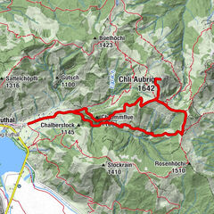
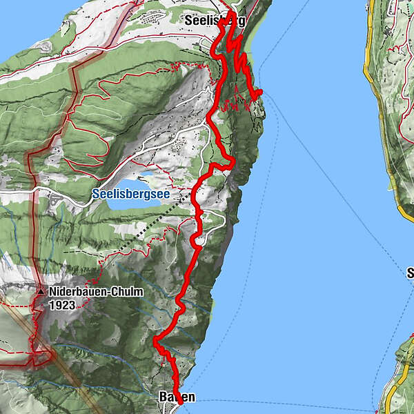
Rütli (435 m)Rütli0,1 kmRütlihaus0,1 kmBuechigstud2,3 kmBreitlohn2,5 kmFurli2,6 kmSeelisberg (801 m)2,7 kmRestaurant Bahnhof2,7 kmSt. Michael3,0 kmSeelisberg3,0 kmSchillerbalkon3,6 kmWallfahrtskapelle Maria Sonnenberg3,7 kmSeelisberg (Oberdorf)3,9 kmTräumli4,3 kmAlte Post9,0 kmZwyssighaus9,0 kmHofstatt9,0 kmKath. Kirche St. Ida9,0 kmFischli am See9,1 kmStützli9,1 kmSchiller Hotel9,1 kmBauen (436 m)9,1 kmIm Dorf9,2 kmBauen (See) (435 m)9,2 km
- La mejor temporada
-
enefebmarabrmayjunjulagosepoctnovdic
- Punto álgido
- 867 m
- Punto final
-
Luzern/Weggis/Vitznau oder Vitznau
- Perfil alto
-
 © outdooractive.com
- Autor
-
La gira Kulinarische Wanderung entlang des «Weges der Schweiz» es utilizado por outdooractive.com proporcionado.
GPS Downloads


Información general
Punto de avituallamiento
Cultural/Histórico
Vistas panorámicas
Más circuitos por las regiones
-
Schwyz
1748
-
Klewenalp-Vierwaldstaettersee
965
-
Seelisberg
429