© Einsiedeln-Ybrig-Zürichsee AG

- Breve descripción
-
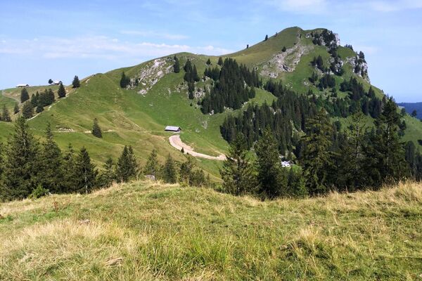
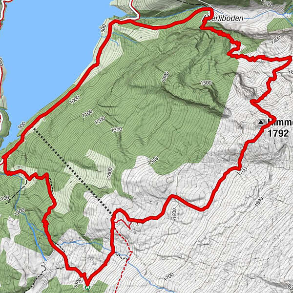
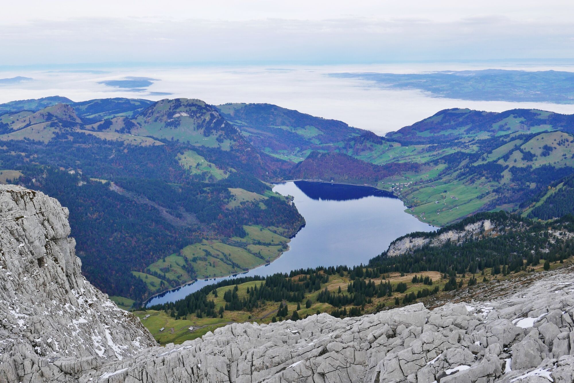
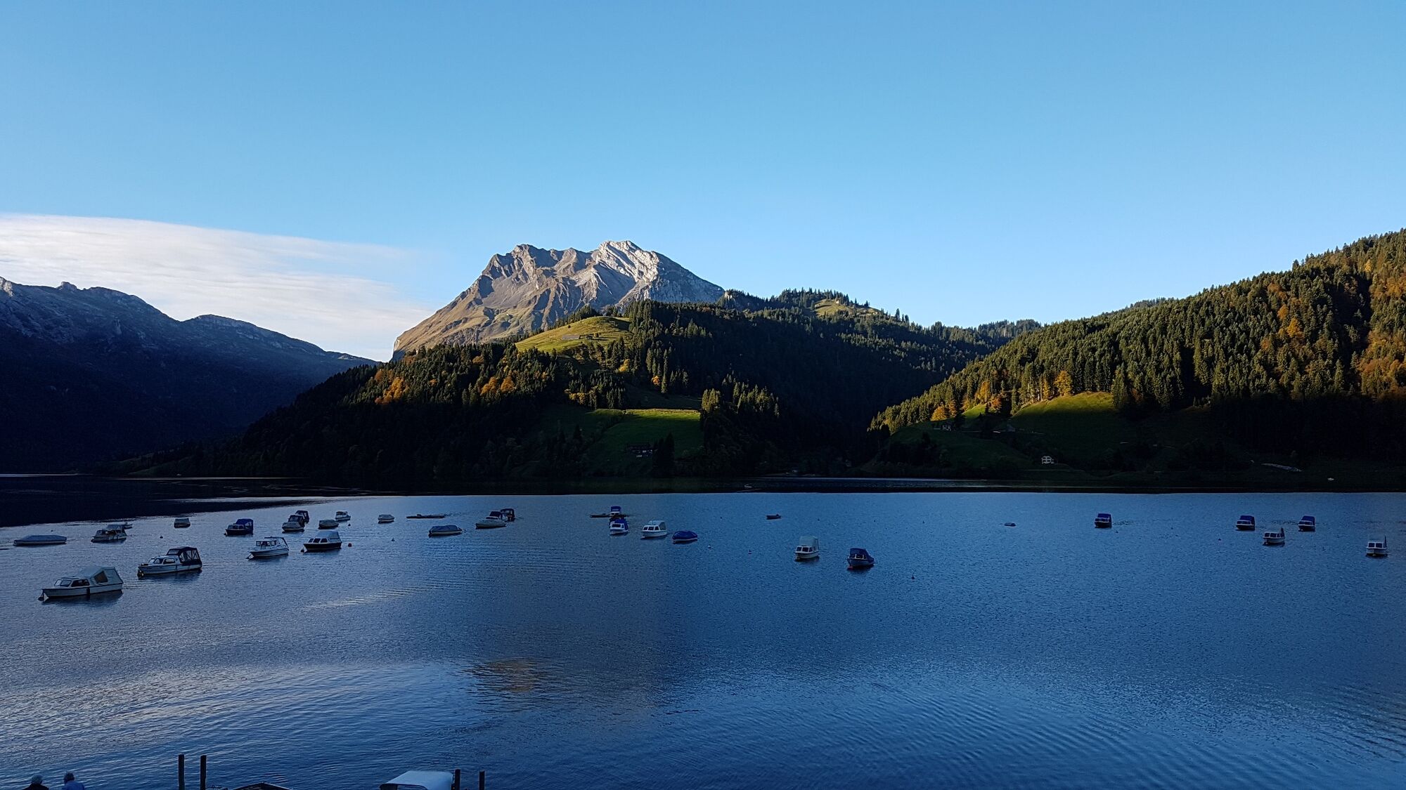
The Wägital with its picturesque landscape and the magnificent reservoir is a real invitation to put on your hiking boots and start walking.
- Dificultad
-
medio
- Valoración
-
- Ruta
-
Lufthütte2,0 kmHimmelchopf (1.792 m)4,8 kmHundlochquelle9,9 km
- La mejor temporada
-
enefebmarabrmayjunjulagosepoctnovdic
- Punto álgido
- 1.774 m
- Punto final
-
Wägitalersee
- Perfil alto
-
 © outdooractive.com
- Autor
-
La gira Wanderwunder Schwyz: Wägital Zindlen es utilizado por outdooractive.com proporcionado.
GPS Downloads


Información general
Flora
Vistas panorámicas
Más circuitos por las regiones
-
Glarnerland
1972
-
Einsiedeln-Ybrig-Zürichsee
867
-
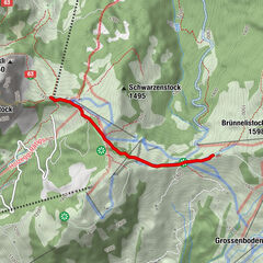
Wägital
157