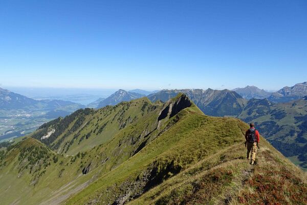
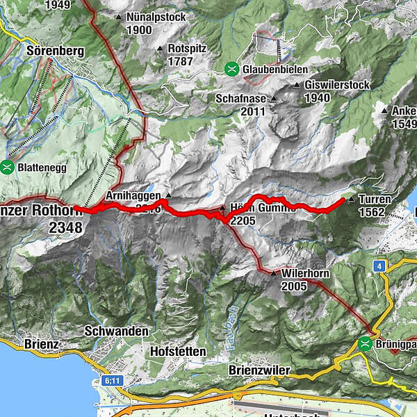
Turren - Brienzer Rothorn high-level path

Senderismo


© Swiss Travel System: Brienz Rothorn Bahn - Christof Sonderegger

© Schweiz Tourismus - Martin Maegli
- Breve descripción
-
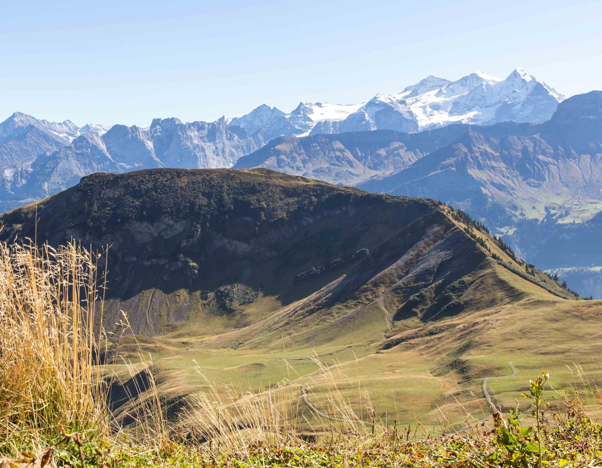
This hike offers breathtaking views, a spectacular train ride and a wealth of pristine nature.
- Dificultad
-
medio
- Valoración
-
- Ruta
-
Restaurant Turren0,1 kmFinsterbüel (1.688 m)0,9 kmBreitenfeld1,7 kmBrienzer Rothorn8,2 kmBrienzer Rothorn (2.348 m)8,6 kmGipfel Restaurant Rothorn8,8 kmRothorn9,0 km
- Punto álgido
- 2.321 m
- Perfil alto
-
 © outdooractive.com


-

-
AutorLa gira Turren - Brienzer Rothorn high-level path es utilizado por outdooractive.com proporcionado.
GPS Downloads

Más circuitos por las regiones
-
Obwalden
2018
-
Brienzersee
1057
-
Brienzwiler
302