Schächen valley high-level path - SwitzerlandMobility Route 595

Senderismo
© Ferienregion Uri - A. Sanchez
© Ferienregion Uri - A. Sanchez
© Ferienregion Uri - A. Sanchez
© Ferienregion Uri - A. Sanchez


- Breve descripción
-
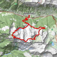
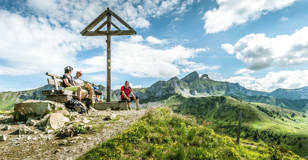
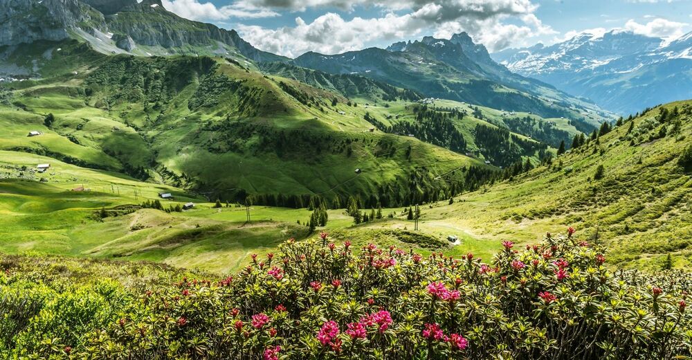
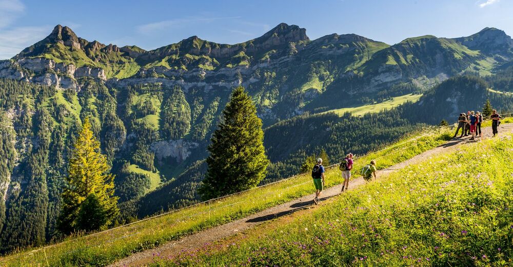
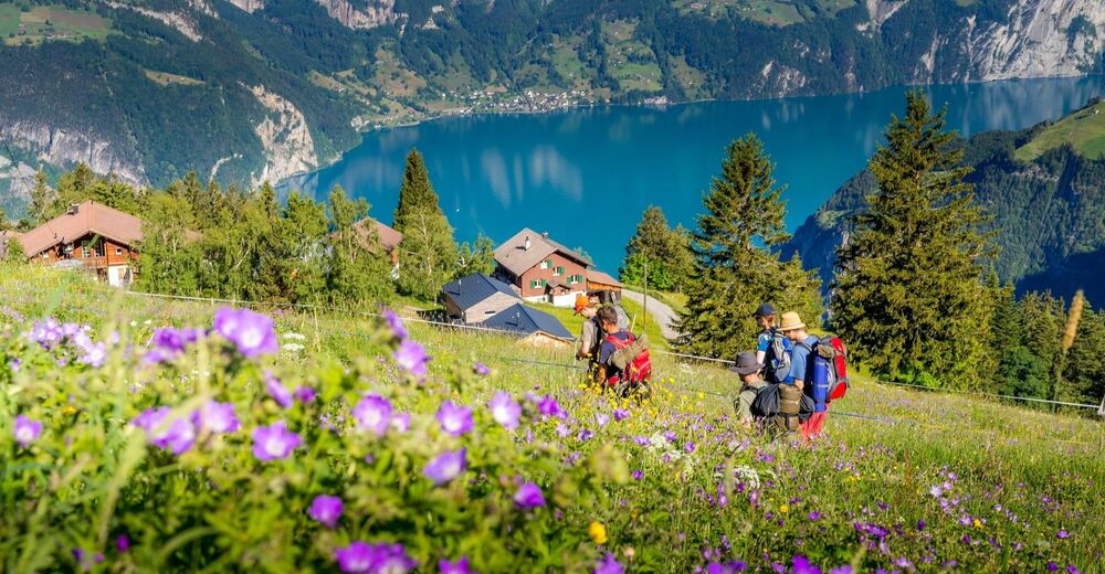
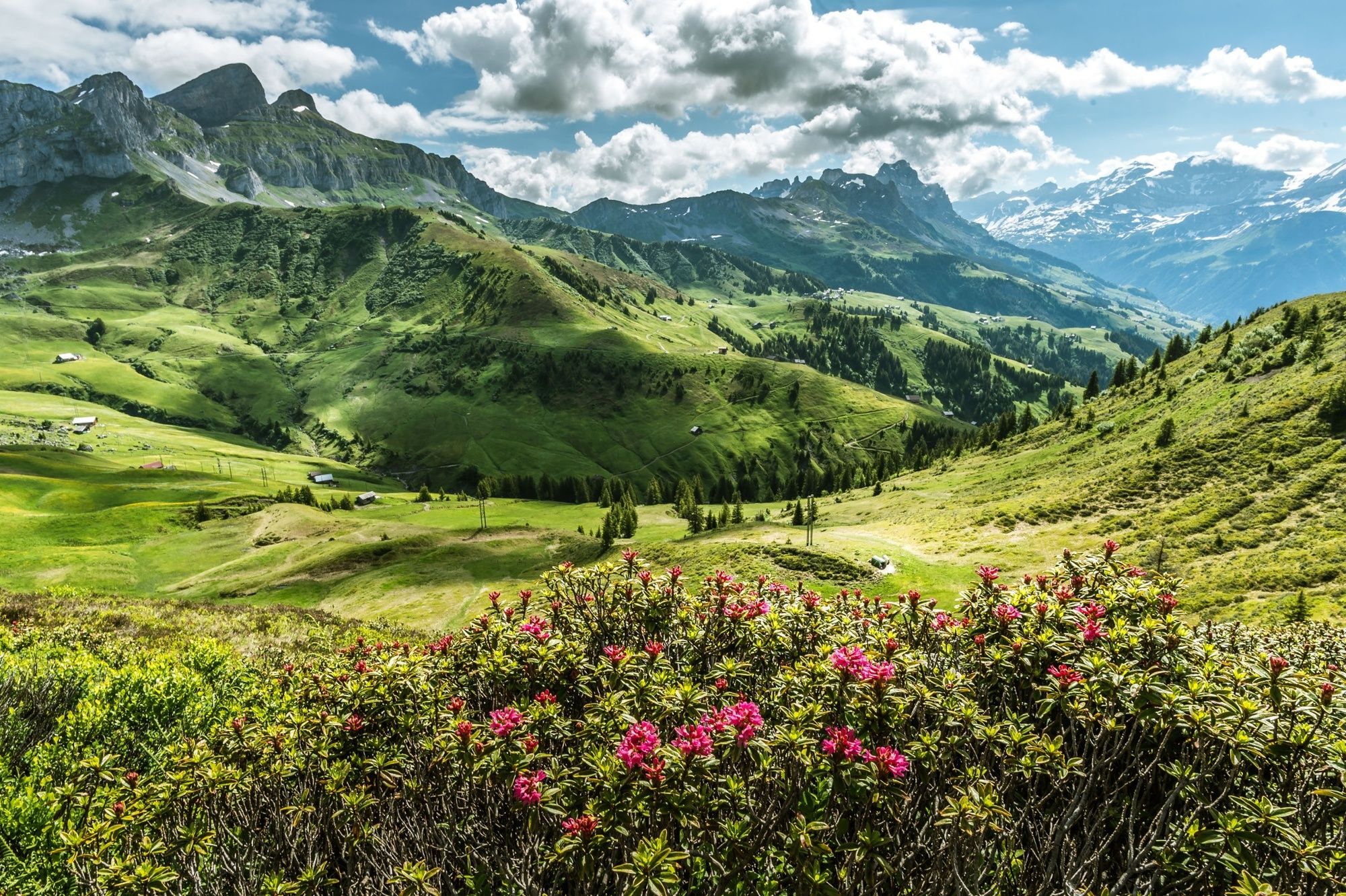
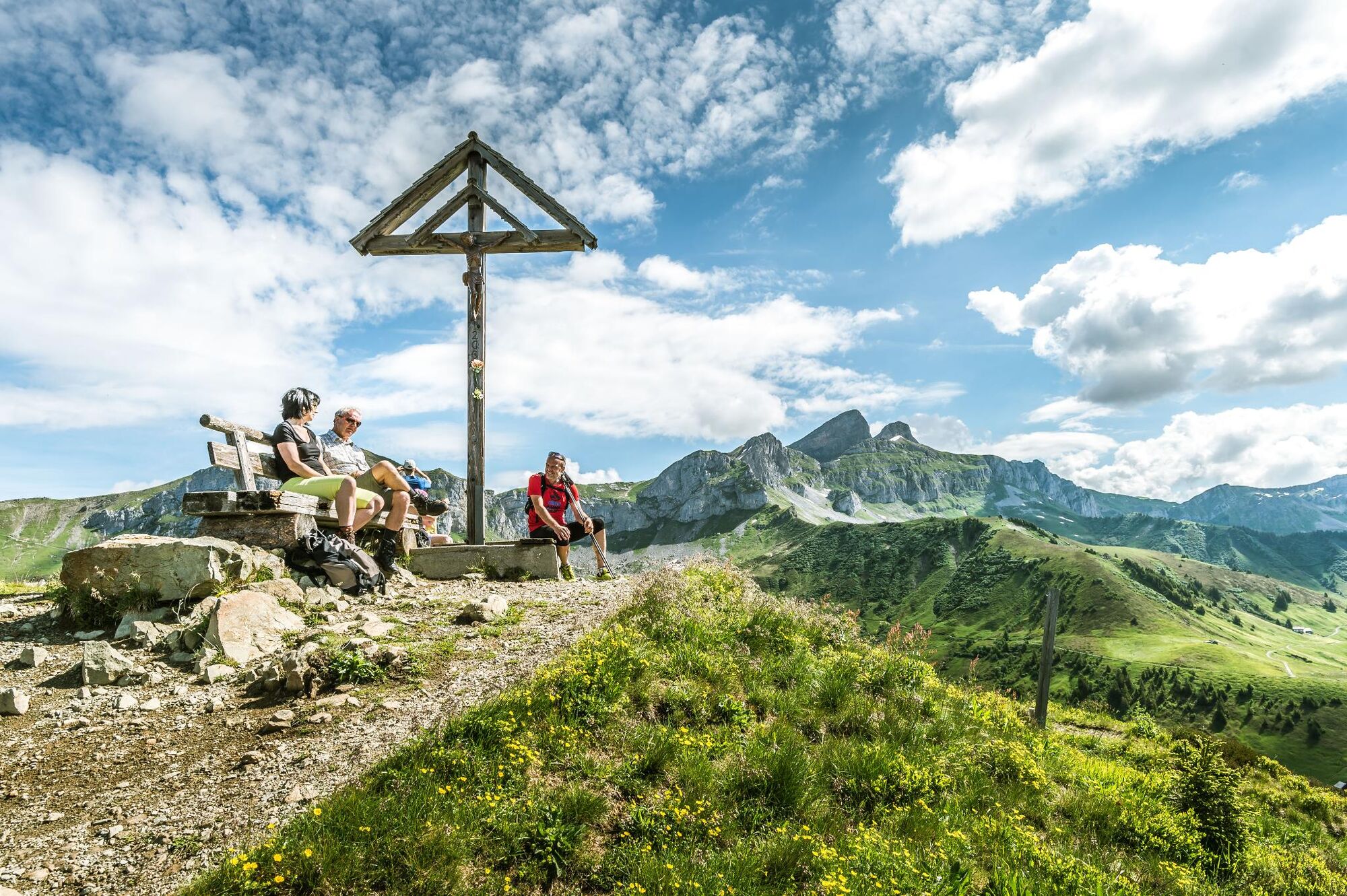
The mountain pass area of the Klausen is without doubt one of the most scenic in Switzerland. The route follows the high-level Schächental path with its fantastic landscapes, majestic mountains and unique flora and fauna.
- Dificultad
-
medio
- Valoración
-
- Ruta
-
Bruder-Klaus-Kapelle0,0 kmAlpbeizli4,5 kmBi der Alten Hütten (1.845 m)11,9 kmVorderer Weissenboden14,1 kmVorderer Weissenboden14,3 kmRestaurant Skihaus Eldelweiss14,4 kmHinteres Mättental14,5 kmOber Alafund15,6 kmRuogig16,3 kmAlp Selez17,1 kmAlpenkiosk Fleschsee18,2 kmEggberge21,4 kmBerggasthaus Seeblick21,6 kmGasthaus Eggberge21,7 kmEggberge (1.452 m)21,7 km
- Punto álgido
- 1.942 m
- Punto final
-
Eggbergen
- Perfil alto
-
 © outdooractive.com


-

-
AutorLa gira Schächen valley high-level path - SwitzerlandMobility Route 595 es utilizado por outdooractive.com proporcionado.
GPS Downloads


Información general
Punto de avituallamiento
Cultural/Histórico
Más circuitos por las regiones
-
Uri
1548
-
Stoos-Muotatal
846
-
Spiringen - Urner Boden
175