- Breve descripción
-
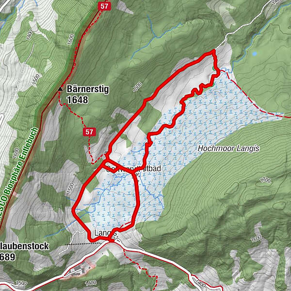
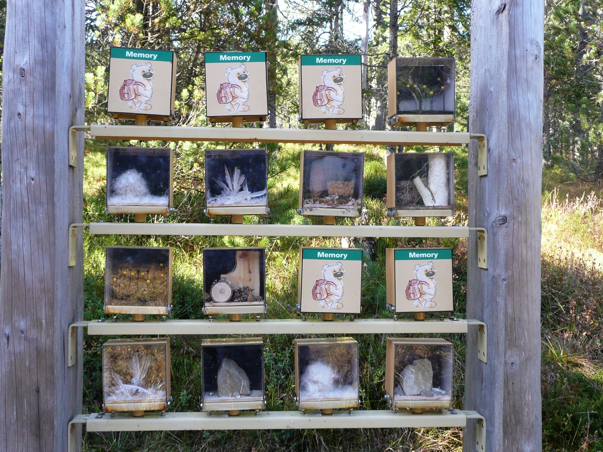
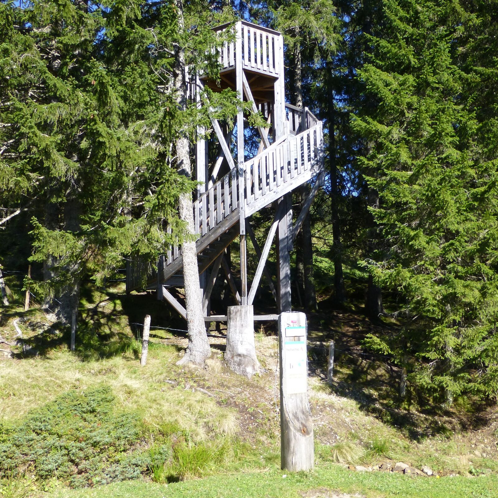
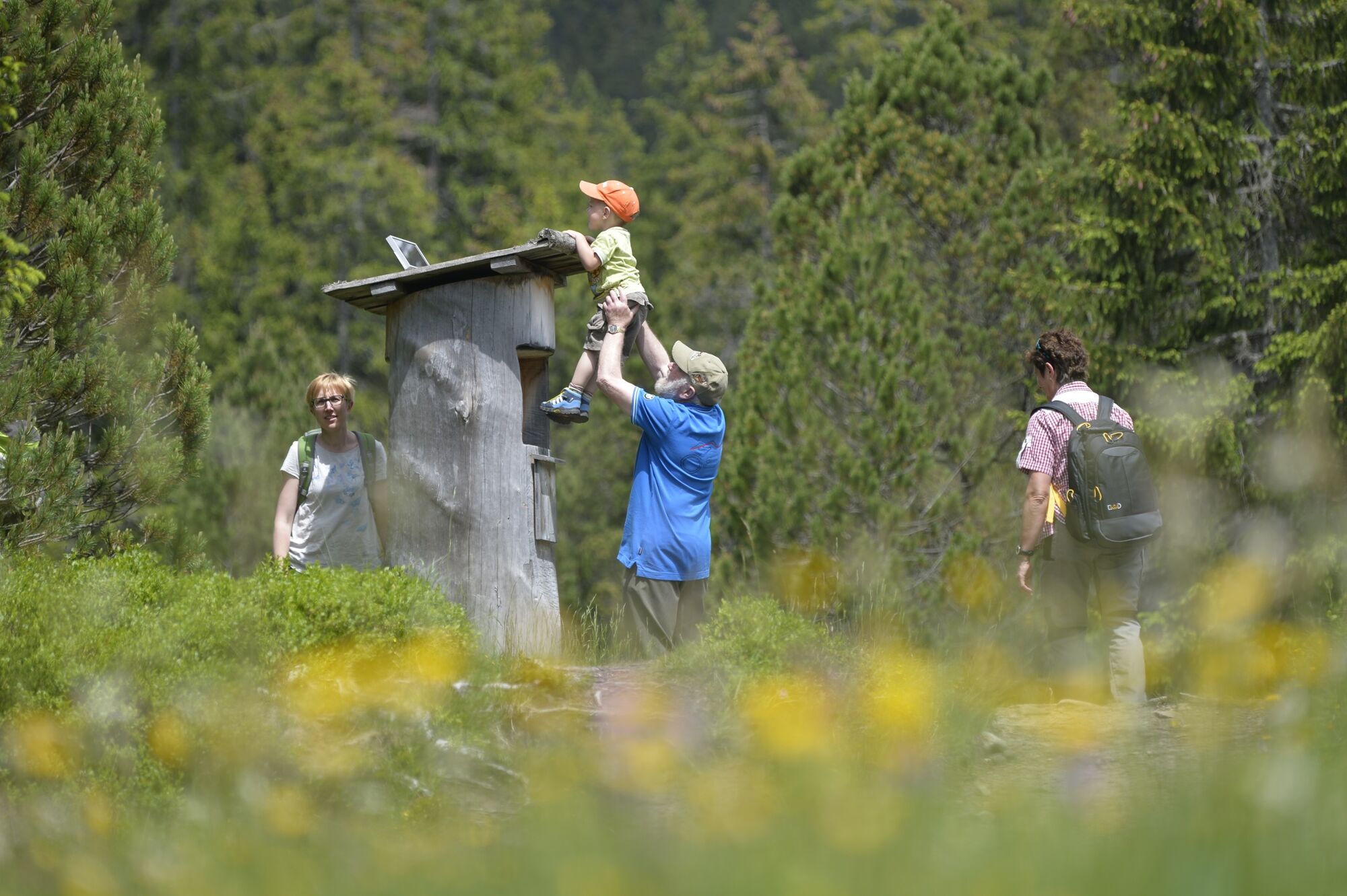
People of all ages follow the Moorbäer (Moorland Bear) trail and its 20 info-posts to learn about the flora and fauna of the moor.
- Dificultad
-
fácil
- Valoración
-
- Ruta
-
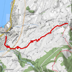
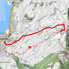
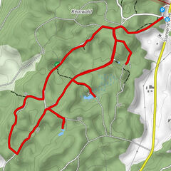
Langis (1.442 m)0,1 kmBergrestaurant Schwendi-Kaltbad1,3 kmSchwendi Kaltbad1,3 kmAndresenhütte1,8 kmBaumschule2,0 kmInfo-Tafel Rate-Bär2,4 kmInfo-Tafel Der grosse Bär2,6 kmInfo-Tafel Borstgrasbinsenweide3,3 kmInfo-Tafel Alkaid3,5 kmInfo-Tafel Bergföhren4,4 kmDer Frauenverein4,7 kmBergrestaurant Schwendi-Kaltbad5,0 kmSchwendi Kaltbad5,0 kmBerghotel Langis5,6 kmLangis (1.442 m)5,7 km
- La mejor temporada
-
enefebmarabrmayjunjulagosepoctnovdic
- Punto álgido
- 1.473 m
- Punto final
-
Langis car park
- Perfil alto
-
 © outdooractive.com
-

-
AutorLa gira Moorbäer path Langis es utilizado por outdooractive.com proporcionado.
GPS Downloads


Información general
Punto de avituallamiento
Flora
Fauna
Más circuitos por las regiones
-
Obwalden
2014
-
UNESCO Biosphäre Entlebuch
630
-
Giswil
227