© Unbekannt - Andermatt - Urserntal Tourimsus GmbH
© Unbekannt - Andermatt - Urserntal Tourismus GmbH

© Ferienregion Andermatt - Andermatt-Urserntal Tourismus GmbH

© Ferienregion Andermatt - Andermatt-Urserntal Tourismus GmbH

© Ferienregion Andermatt - Andermatt-Urserntal Tourismus GmbH

© Ferienregion Andermatt - Andermatt-Urserntal Tourismus GmbH

© Ferienregion Andermatt - Andermatt-Urserntal Tourismus GmbH

- Breve descripción
-
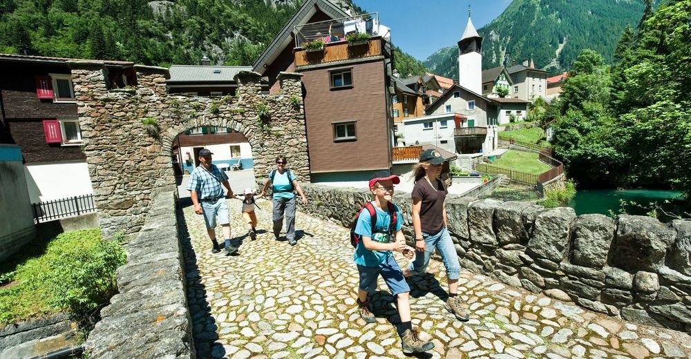
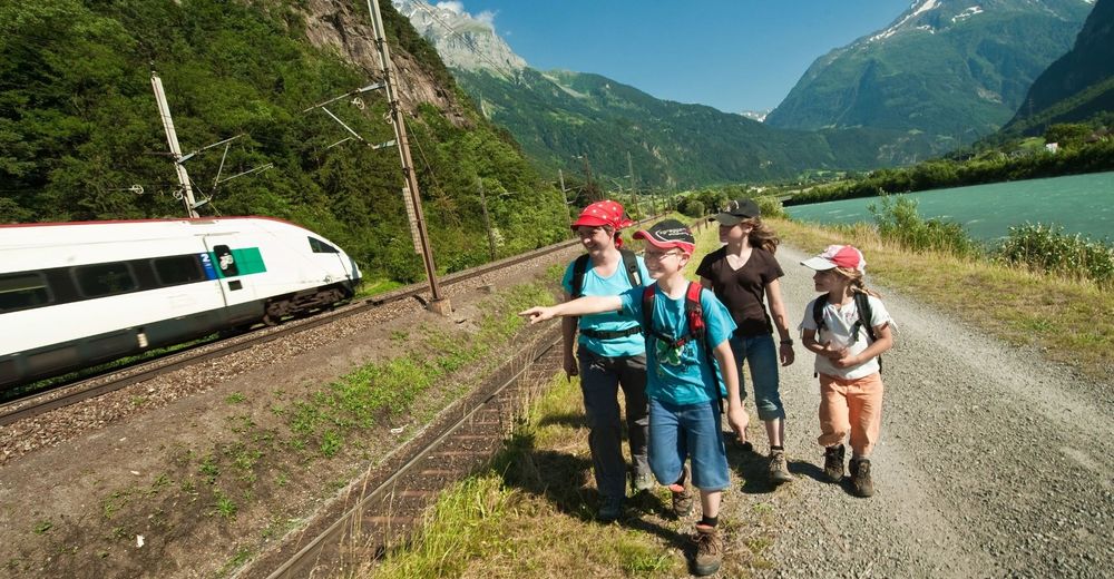
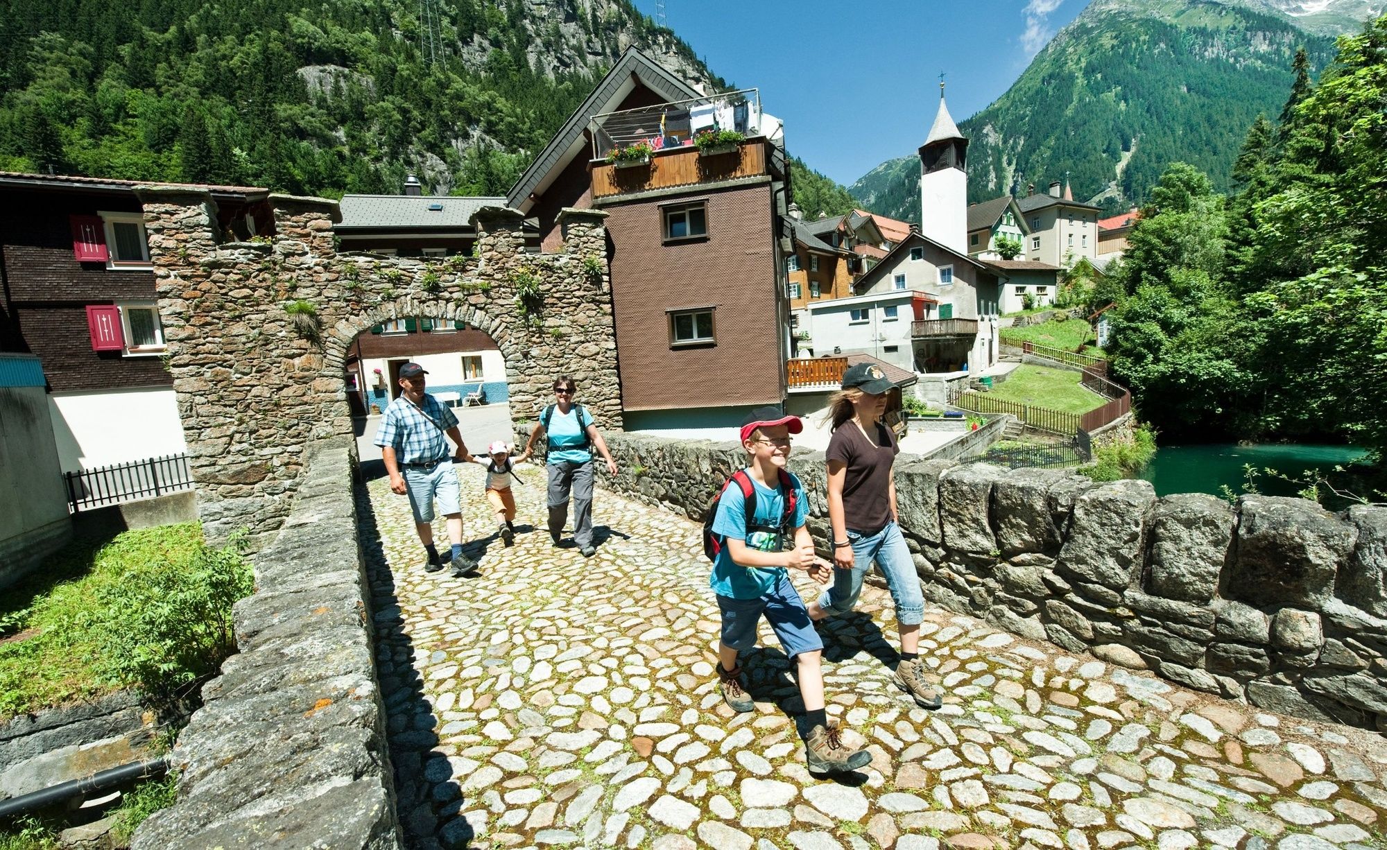
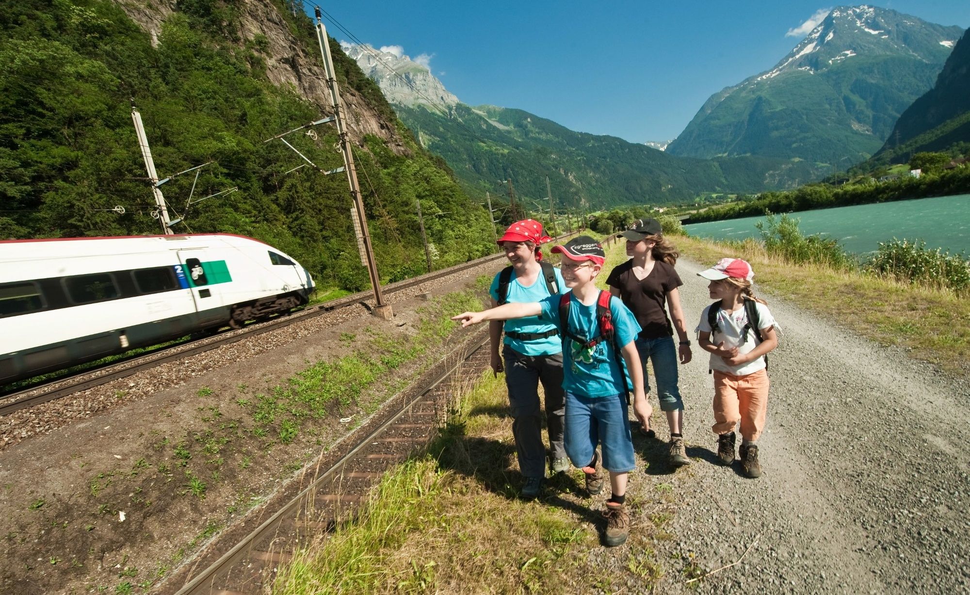
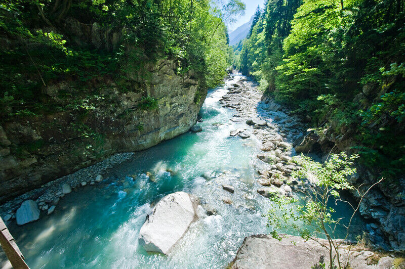
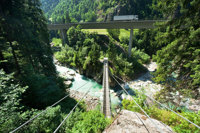
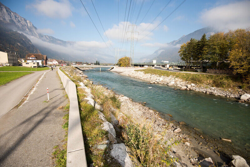
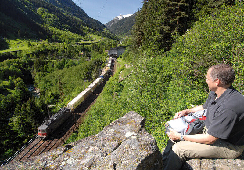
Experience the railway engineering achievements of the Gotthard mountain route on foot in canton Uri's Reuss valley. Packed with noteworthy sights and new rail experiences with every step you take.
- Dificultad
-
medio
- Valoración
-
- Ruta
-
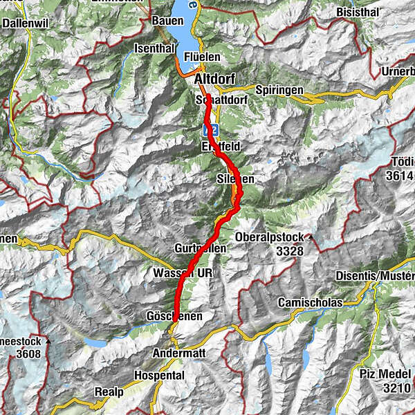
Göschenen (1.111 m)0,0 kmHinter Neiselen2,9 kmVorder Neiselen3,3 kmVorder Neiselen3,5 kmWattingen3,5 kmWassen UR (930 m)4,7 kmBeinhauskapelle4,9 kmPfaffensprung6,7 kmHäggrigen7,6 kmWiler8,6 kmGurtnellen (928 m)8,9 kmUnteraa9,2 kmMeitschligen12,3 kmKohlplatz15,6 kmMühlemätteli15,7 kmHirschen16,1 kmStern Post16,1 kmReussboden16,2 kmAmsteg16,3 km14-Nothelfer-Kapelle17,3 kmKatholische Kirche St. Albin19,3 kmSilenen (510 m)19,3 kmKapelle Rietli20,3 kmJagdmattkapelle23,6 kmErstfeld (475 m)24,2 kmAttinghausen (468 m)29,5 km
- La mejor temporada
-
enefebmarabrmayjunjulagosepoctnovdic
- Punto álgido
- 1.104 m
- Punto final
-
Tell monument Altdorf
- Perfil alto
-
 © outdooractive.com
- Autor
-
La gira Gottardo Hiking Trail es utilizado por outdooractive.com proporcionado.
GPS Downloads


Información general
Punto de avituallamiento
Cultural/Histórico
Flora
Fauna
Vistas panorámicas
Más circuitos por las regiones
-
Uri
1542
-
Urner Unterland
858
-
Silenen – Amsteg – Bristen
133