© UNESCO Biosphäre Entlebuch - Richard Portmann

© UNESCO Biosphäre Entlebuch - Richard Portmann

© Sörenberg Flühli Tourismus - Bruno Röösli
- Breve descripción
-
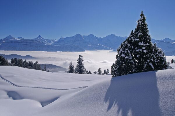
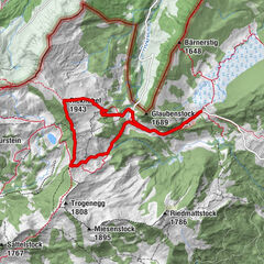
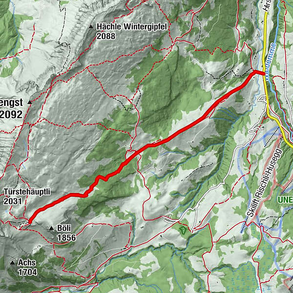
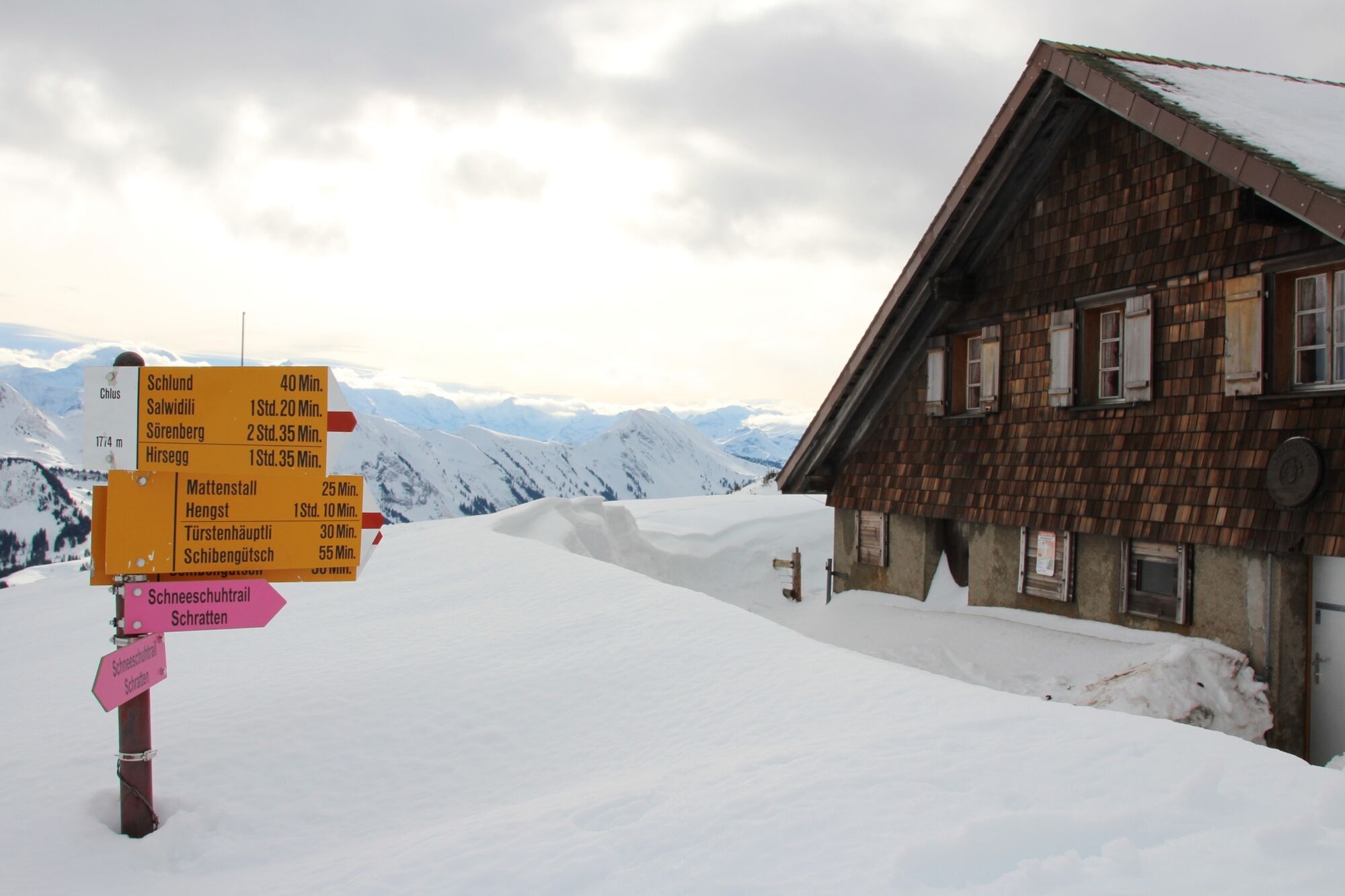
This somewhat more challenging tour leads through the stunning landscape beneath the Schrattenfluh and its striking karst formations. The hike ends at the Chlushütte (mountain hut), located at the foot of the Böli, where incredible panoramic views across the Brienzer Rothorn range and the Bernese Alps await you.
- Dificultad
-
difícil
- Valoración
-
- La mejor temporada
-
agosepoctnovdicenefebmarabrmayjunjul
- Punto álgido
- 1.783 m
- Punto final
-
Sörenberg, Bushaltestelle Hirsegg
- Perfil alto
-
 © outdooractive.com


-

-
AutorLa gira Schneeschuhtrail Hirsegg–Chlus es utilizado por outdooractive.com proporcionado.
GPS Downloads


Información general
Vistas panorámicas
Más circuitos por las regiones
-
Obwalden
122
-
Brienzersee
73
-
Sörenberg
27