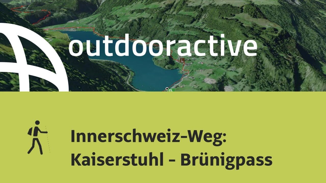
Innerschweiz-Weg: Kaiserstuhl - Brünigpass

Camino de peregrinación

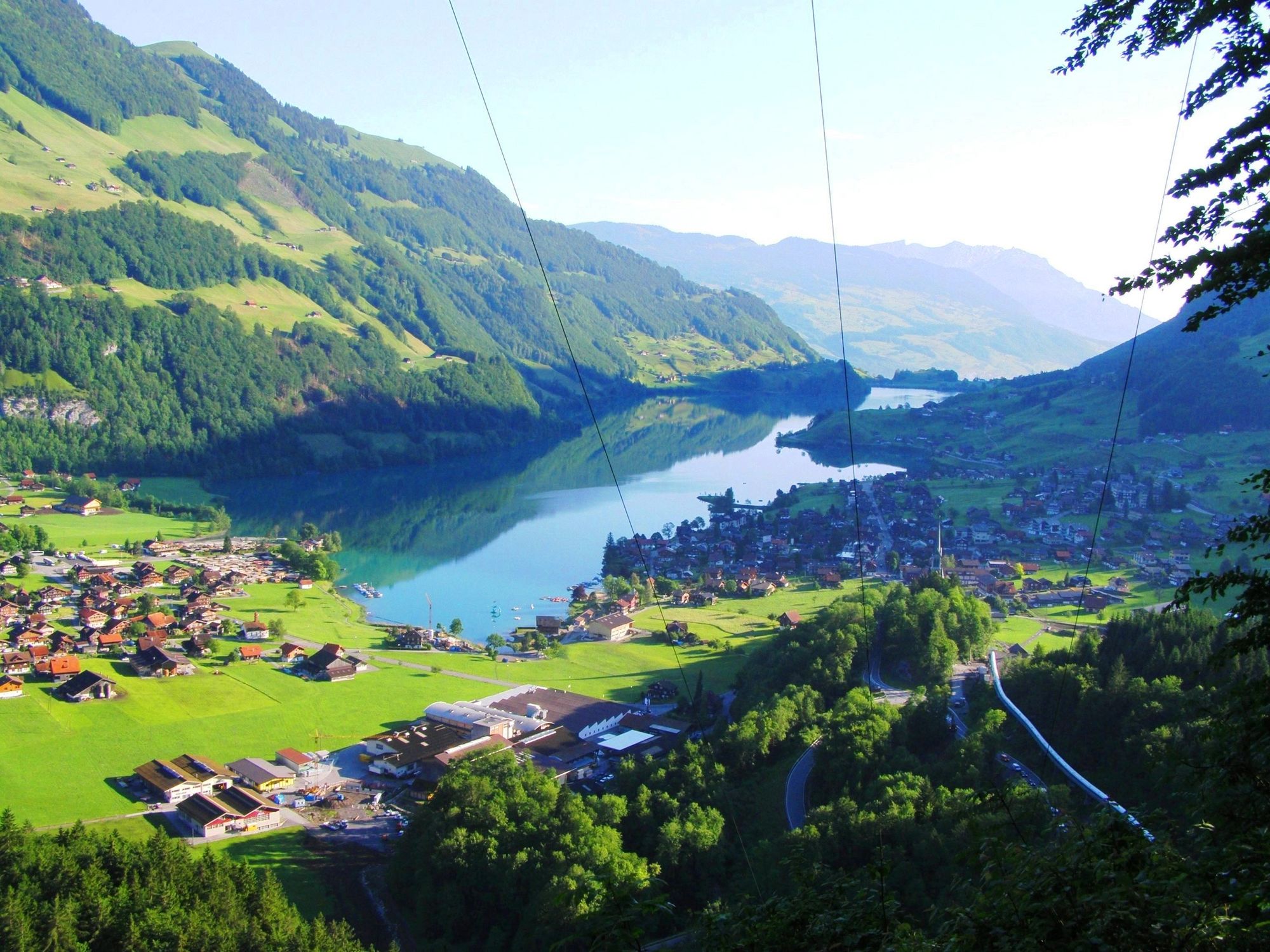
© Pilgerwege Schweiz - Mario Buchwalder


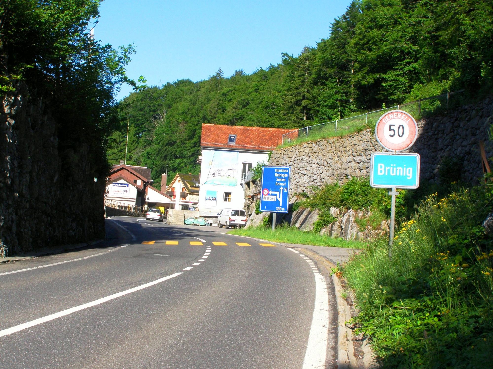
© Pilgerwege Schweiz - Mario Buchwalder


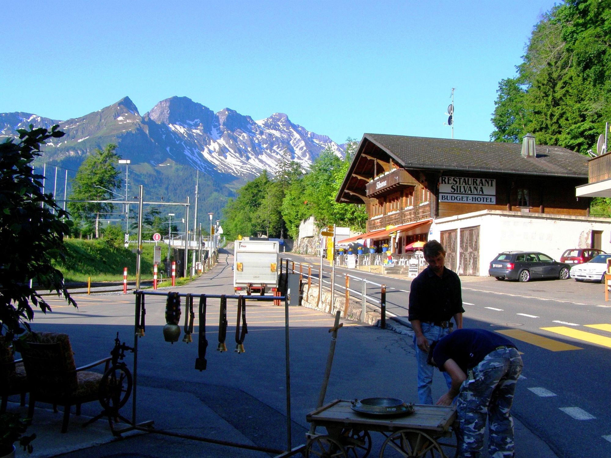
© Pilgerwege Schweiz - Mario Buchwalder

© Outdooractive – 3D Videos
- Breve descripción
-
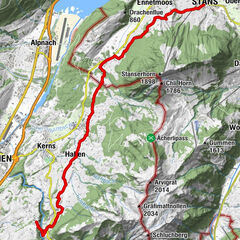
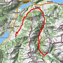
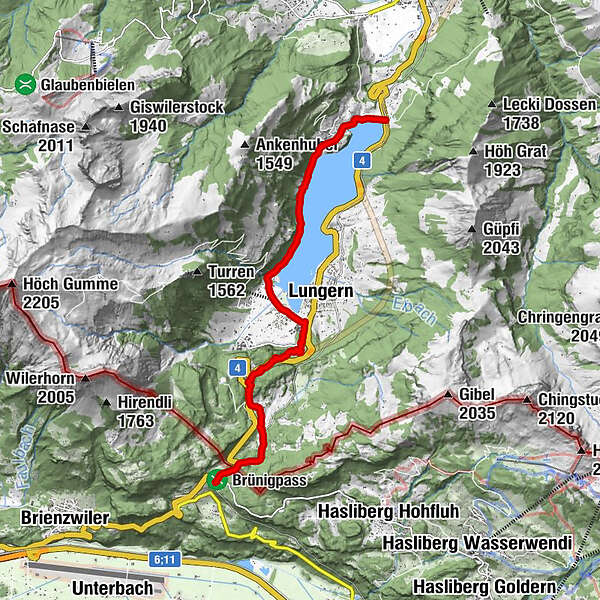
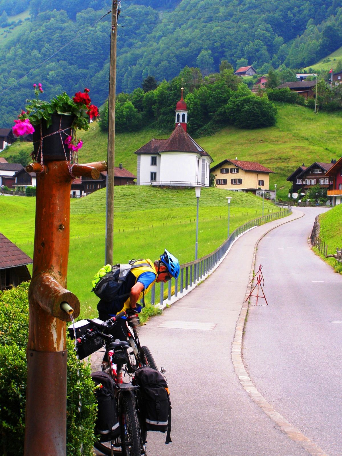
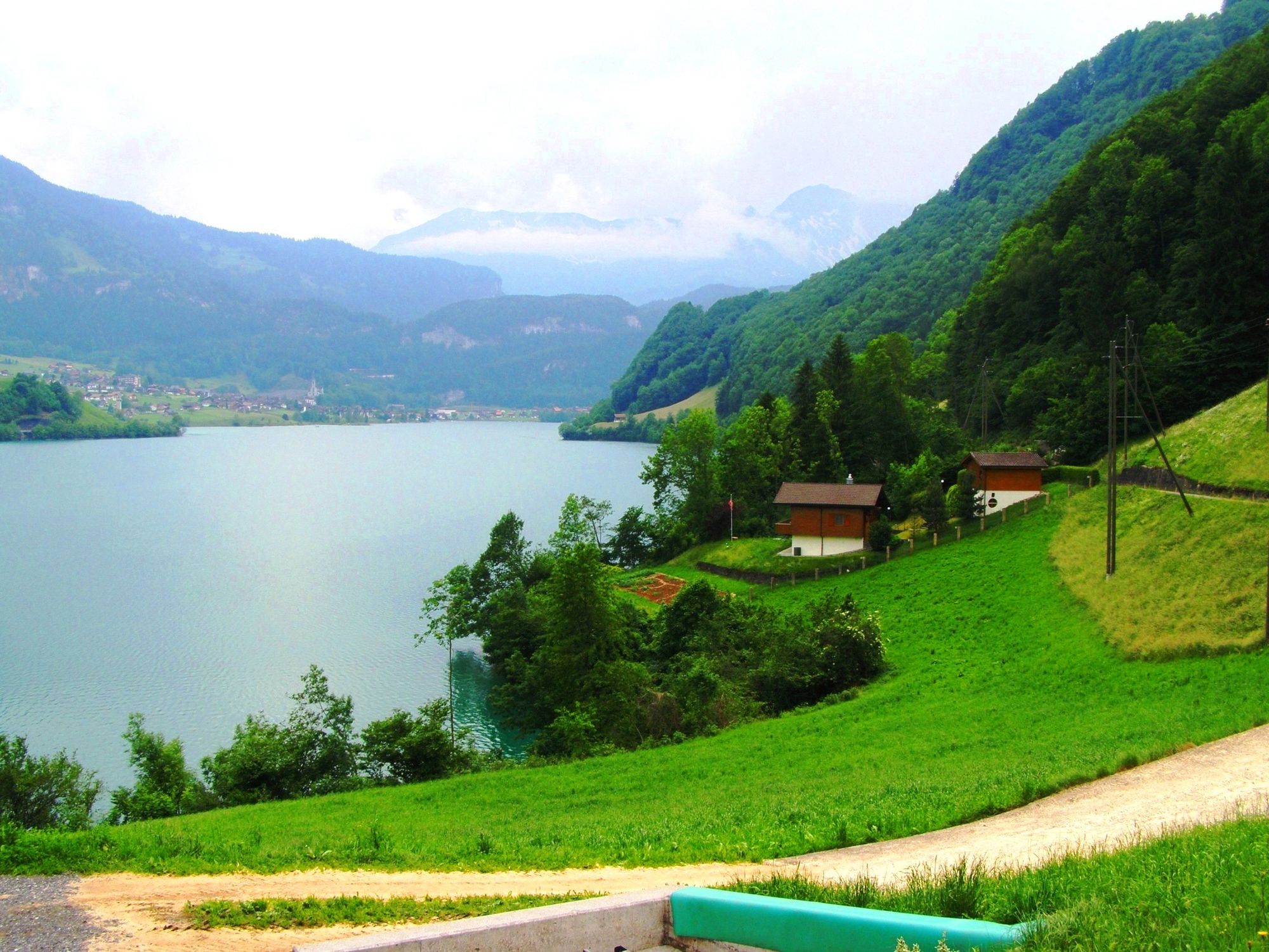
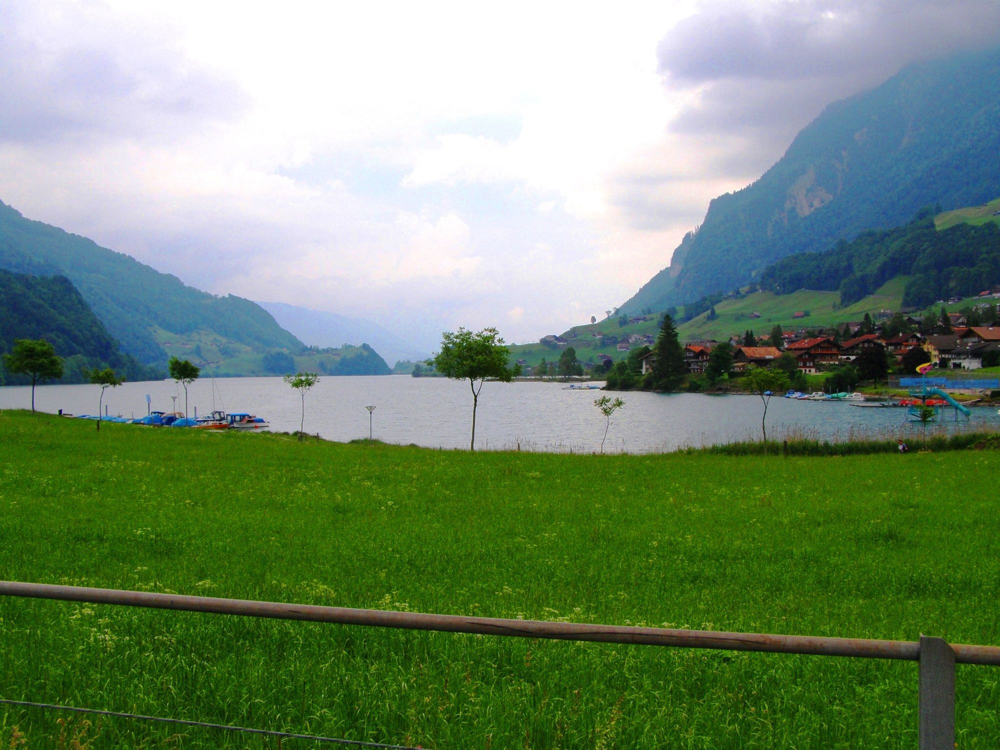
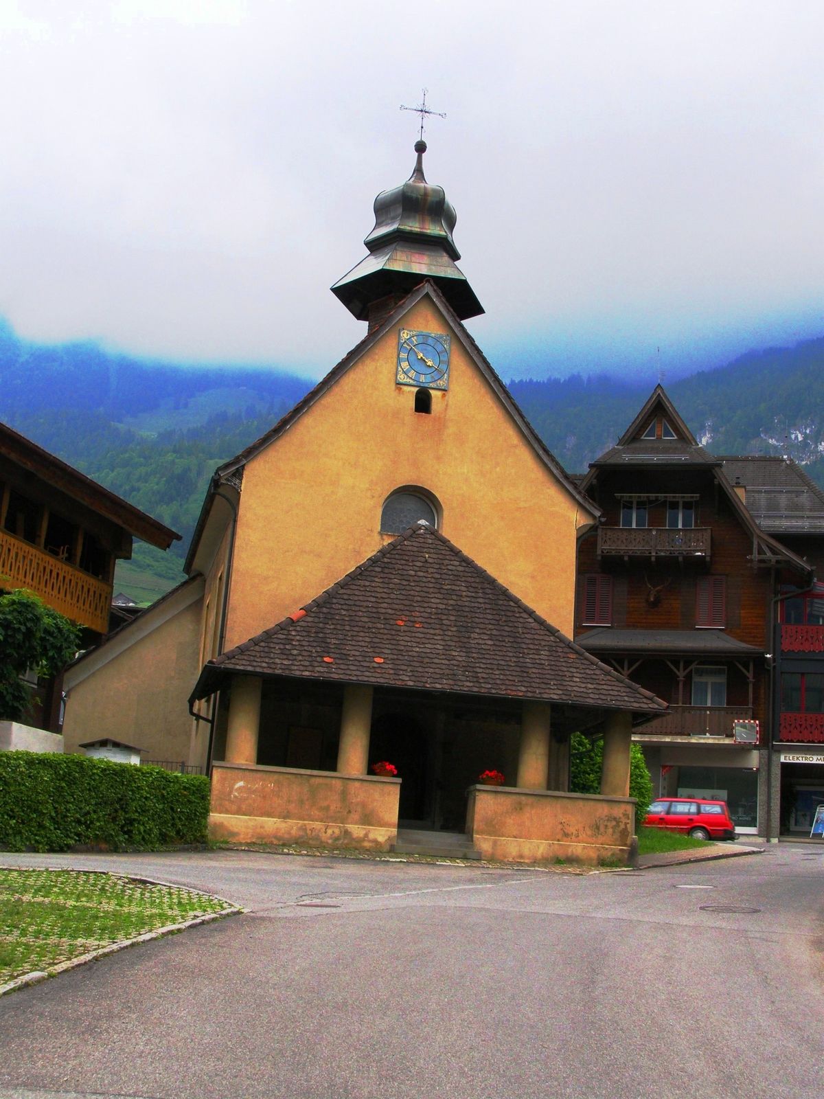
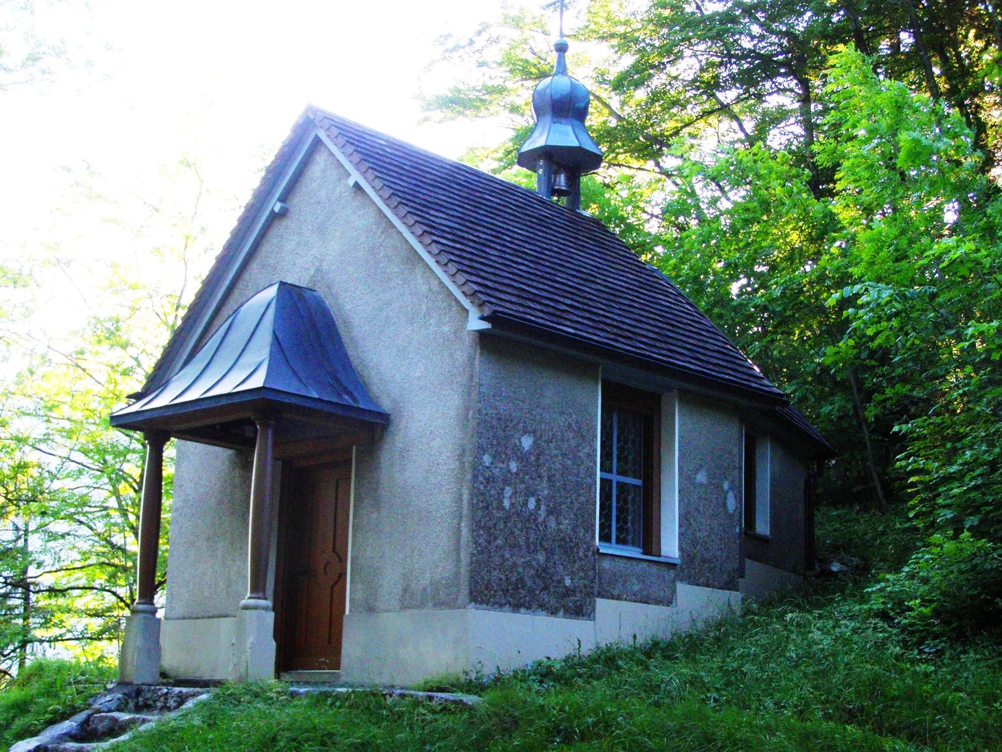
Der Abschnitt Kaiserstuhl - Brünigpass ist Teil des Innerschweiz-Weges, welcher uns von Einsiedeln nach Brünig führen wird. Wir befinden uns auf den Schweizer Jakobswegen.
- Dificultad
-
fácil
- Valoración
-
- Ruta
-
Restaurant Kaiserstuhl0,0 kmKapelle Bürglen0,7 kmKapelle St. Beatus Obsee4,7 kmNaturfreundehaus Brünig8,7 kmBrünig-Hasliberg9,2 kmPasshöhe 10139,4 kmBrünigpass (1.005 m)9,4 kmBrünig9,4 km
- La mejor temporada
-
enefebmarabrmayjunjulagosepoctnovdic
- Punto álgido
- 1.007 m
- Punto final
-
Brünig-Hasliberg
- Perfil alto
-
 © outdooractive.com
- Autor
-
La gira Innerschweiz-Weg: Kaiserstuhl - Brünigpass es utilizado por outdooractive.com proporcionado.
GPS Downloads
Información general
Punto de avituallamiento
Cultural/Histórico
Más circuitos por las regiones
-
Obwalden
2023
-
Haslital
898
-
Lungern - Schönbüel
243