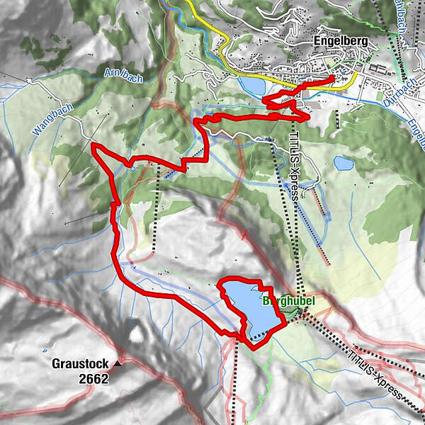
Datos del tour
12,71km
-
830hm
00:42h
- Breve descripción
-
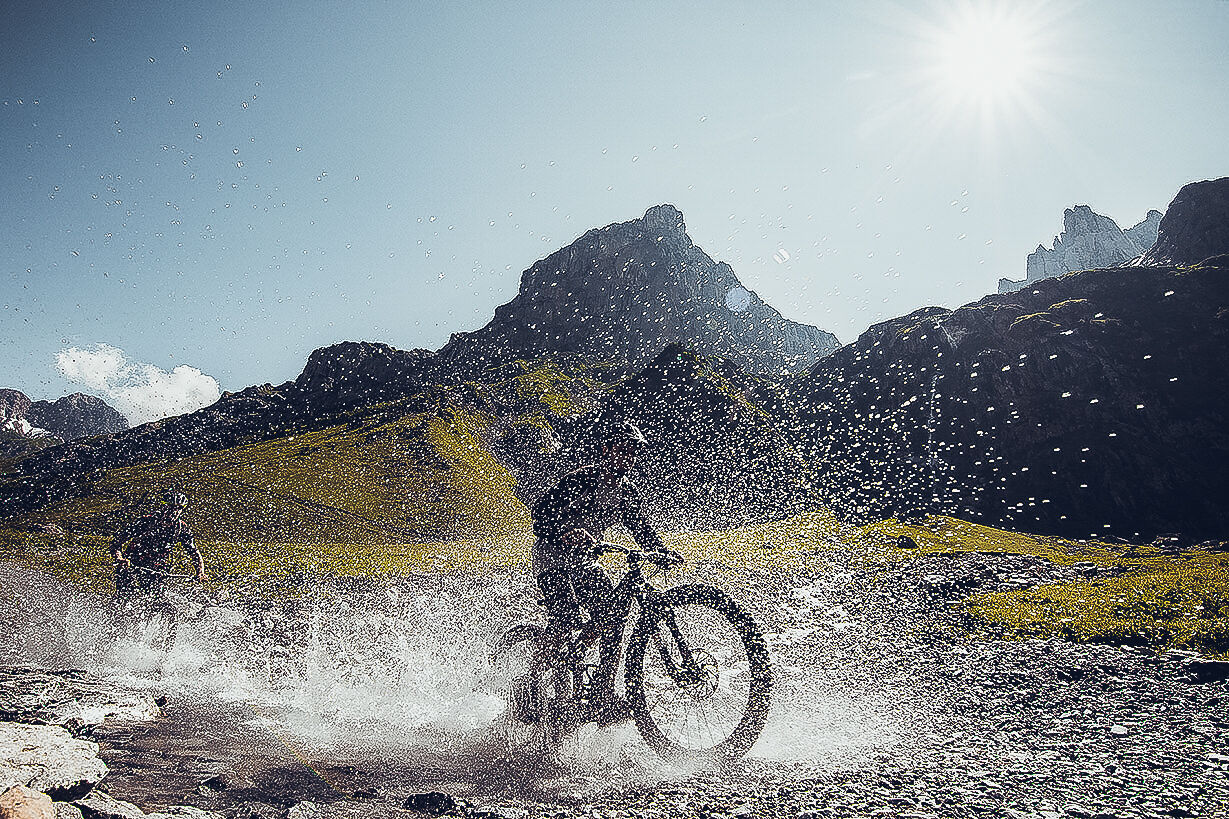
Ab Untertrübsee anspruchsvolle Tour für sportliche Biker über Forststrasse und
Wanderwege mit groben Steinen. Von Untertrübsee nach Obertrübsee kann auch die Luftseilbahn Älplerseil benützt werden. - Dificultad
-
difícil
- Valoración
-
- Punto de salida
-
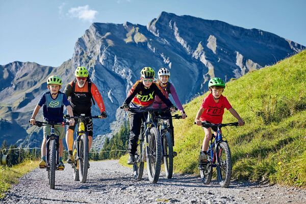
Engelberg Dorf
- Ruta
-
Engelberg (1.002 m)Untertrübsee5,1 kmTalstation Trübsee (Bitzistock)11,4 kmAlpstübli12,6 km
- Descanso/Avituallamiento
-
Restaurant Untertrübsee
- Material cartográfico
-
Engelberg-Titlis Tourismus AG / 41 41 639 77 77
GPS Downloads


Calzadas
Asfalto
Gravilla
(15%)
Bosque
Caminos de montaña
(60%)
Rutas individuales
Trial
(25%)
Tráfico
Más circuitos por las regiones