© UNESCO Biosphäre Entlebuch - Janine Wicki

© UNESCO Biosphäre Entlebuch

© UNESCO Biosphäre Entlebuch - outsideisfree.ch

© UNESCO Biosphäre Entlebuch - Martin Mägli

© UNESCO Biosphäre Entlebuch - Martin Mägli
- Breve descripción
-
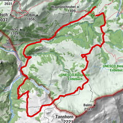
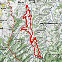
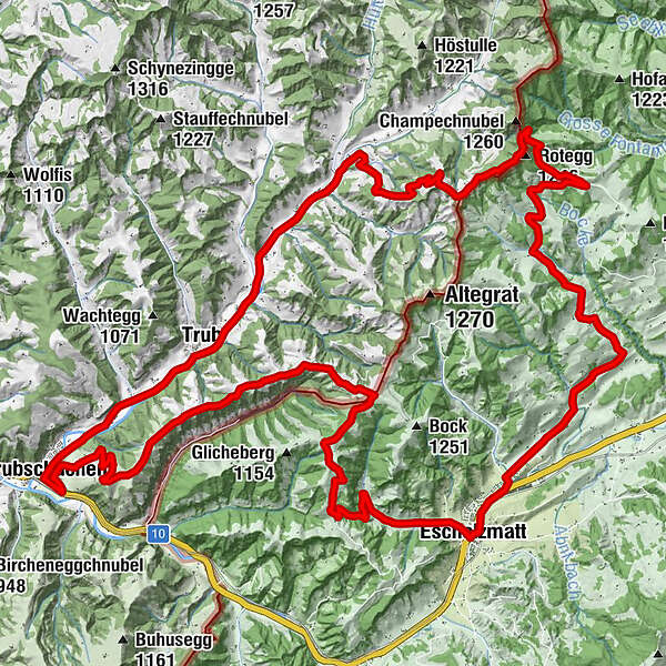
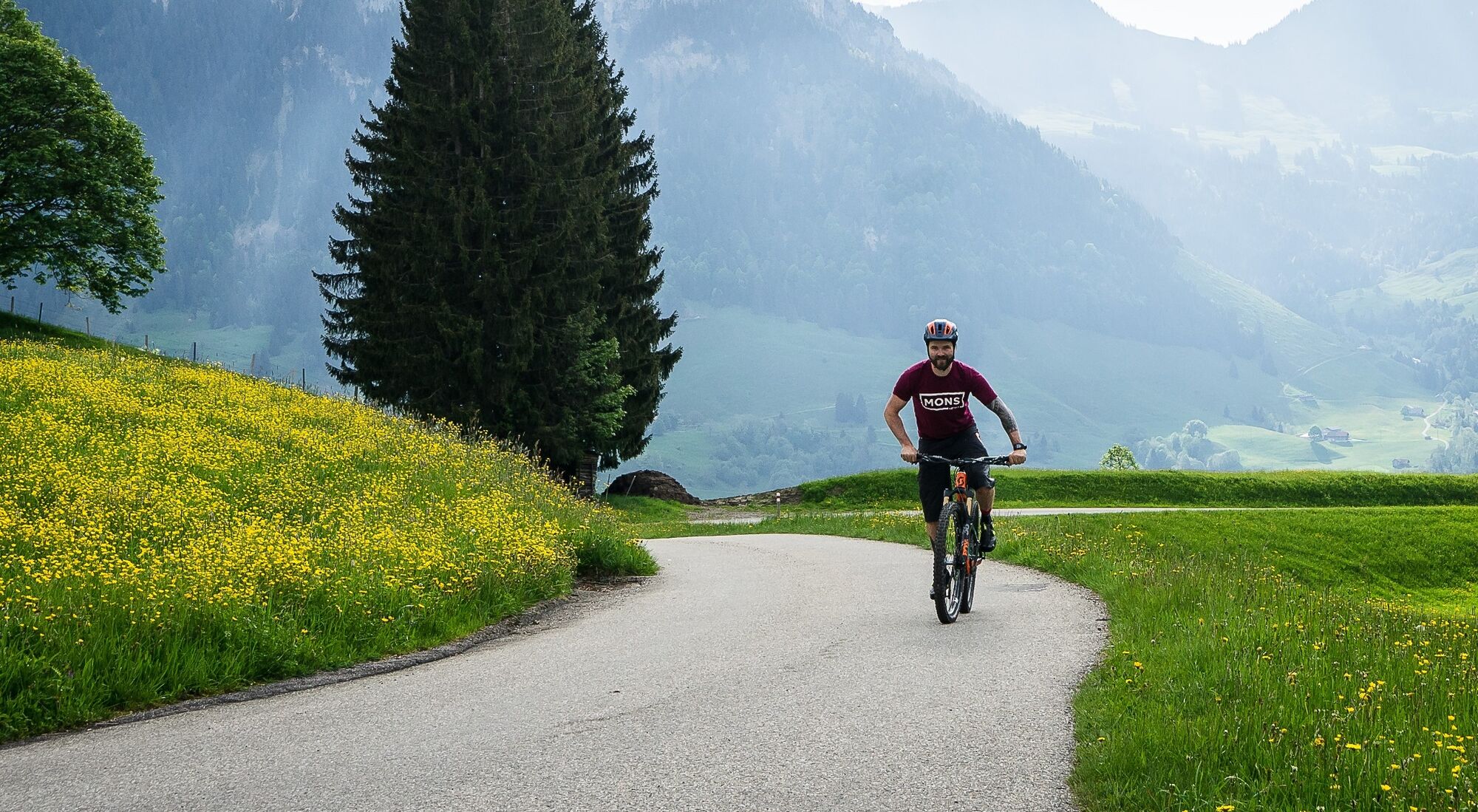
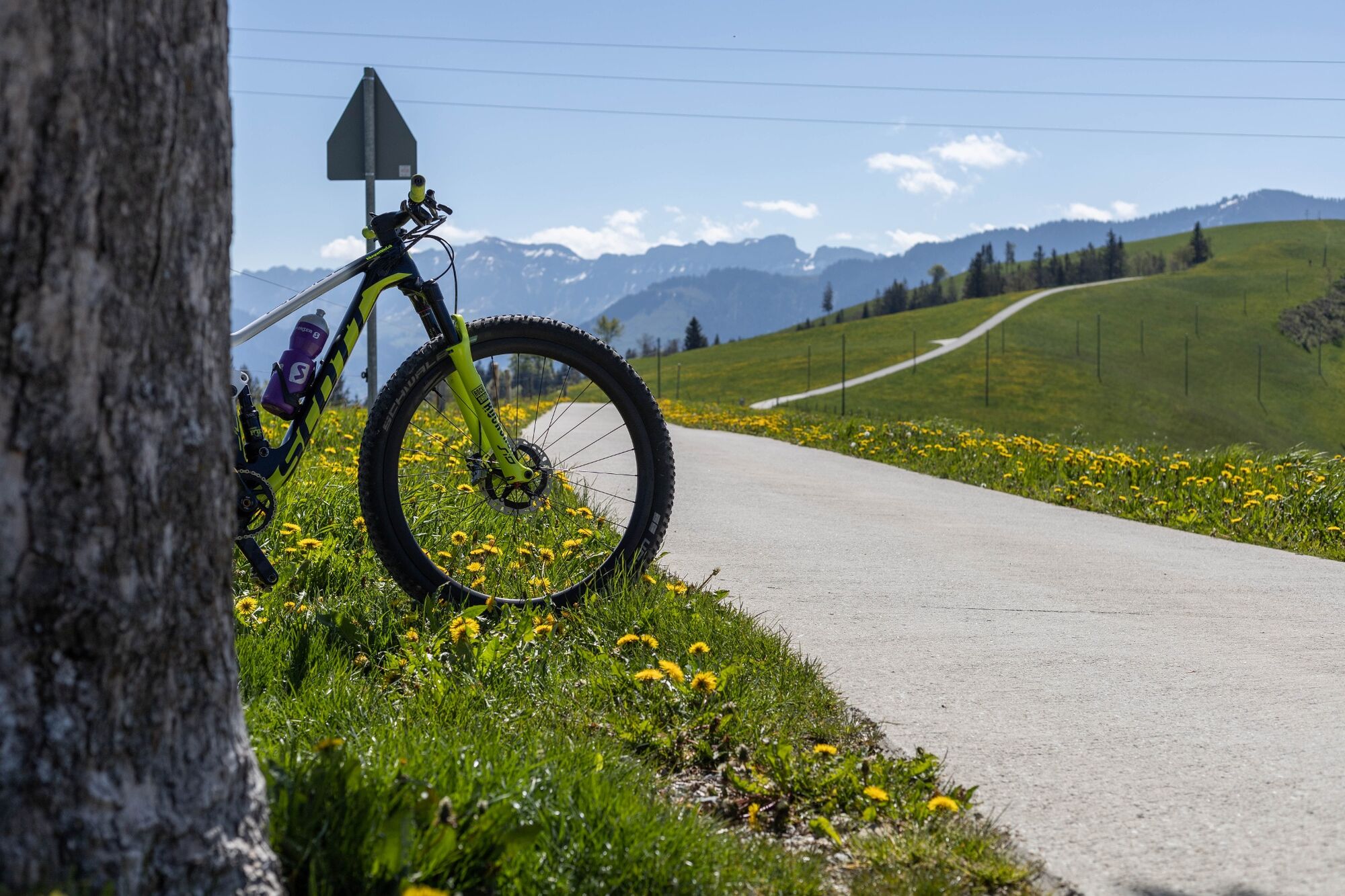
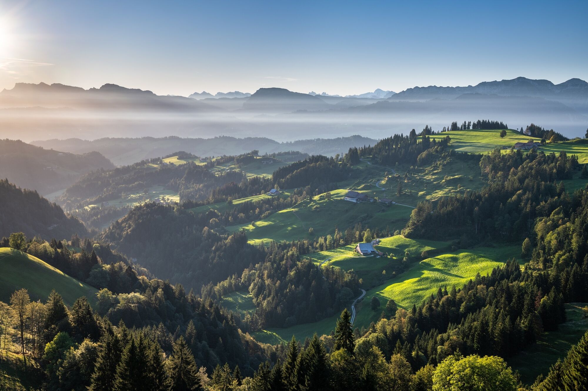
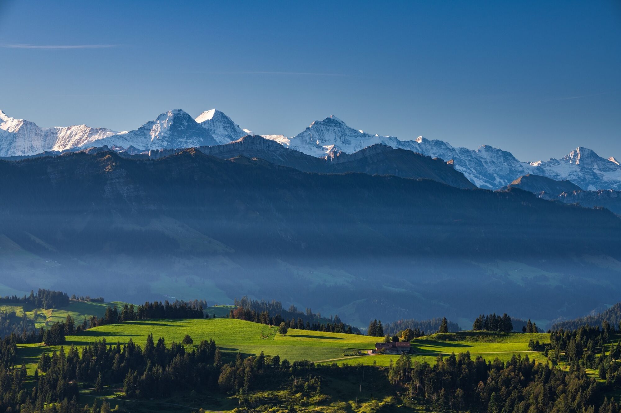
MTB tour over the hills of the Entlebuch and Emmental.
- Dificultad
-
fácil
- Valoración
-
- Ruta
-
Escholzmatt (858 m)Bahnhof0,1 kmTellenmoos3,7 kmRotegg (1.246 m)11,0 kmNeumattwald15,0 kmNeumatt15,5 kmFankhaus (Trub)15,8 kmRiedgut18,0 kmSandgrabe18,1 kmRied18,1 kmSchweidboden18,2 kmTrub19,4 kmLandgasthof Sternen19,6 kmLängengrund20,7 kmTrubschachen22,7 kmRisisegg Schindel28,5 kmTurner (1.215 m)31,0 kmHöch (1.227 m)32,5 kmOber Bödili32,9 kmLängegg34,1 kmHinter Lombach35,0 kmHinder Lombach35,1 kmEscholzmatt (858 m)36,6 kmSt. Jakob36,7 kmLandgasthof Krone36,7 kmWasserscheide Kleine Emme/Ilfis (857m)36,7 kmEscholzmatt (853 m)36,9 km
- La mejor temporada
-
enefebmarabrmayjunjulagosepoctnovdic
- Punto álgido
- 1.217 m
- Punto final
-
Escholzmatt railway station
- Perfil alto
-
 © outdooractive.com
-

-
AutorLa gira Napf mountains MTB tour es utilizado por outdooractive.com proporcionado.
GPS Downloads


Información general
Punto de avituallamiento
Vistas panorámicas
Más circuitos por las regiones
-
Obwalden
170
-
UNESCO Biosphäre Entlebuch
43
-
Trub
9