Schächen Valley Bike - 416 SwitzerlandMobility

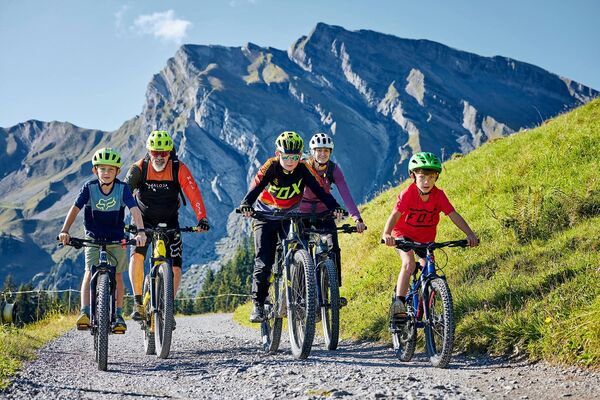
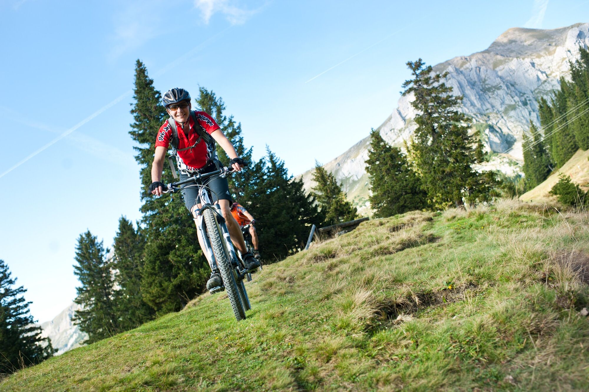
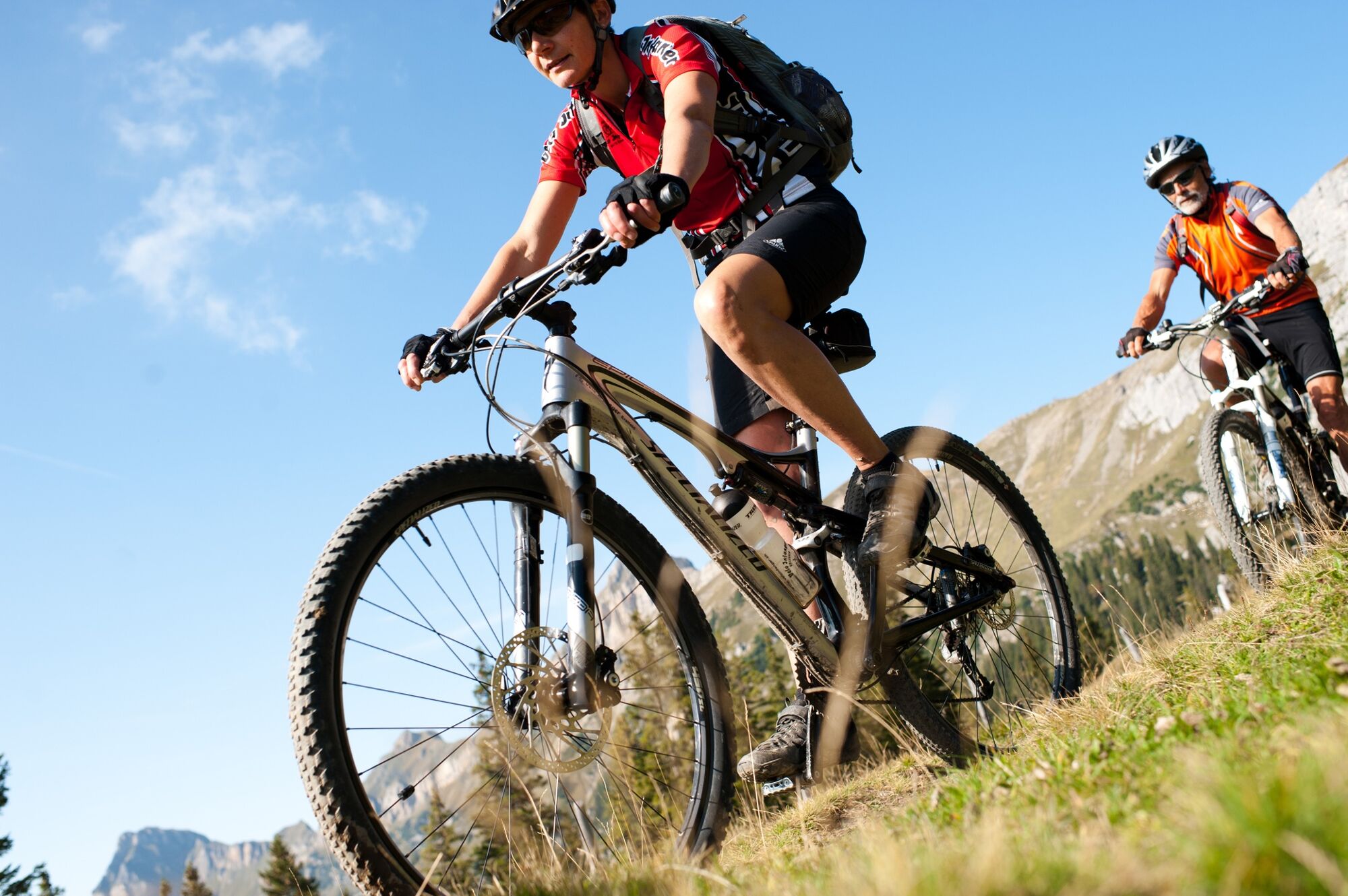
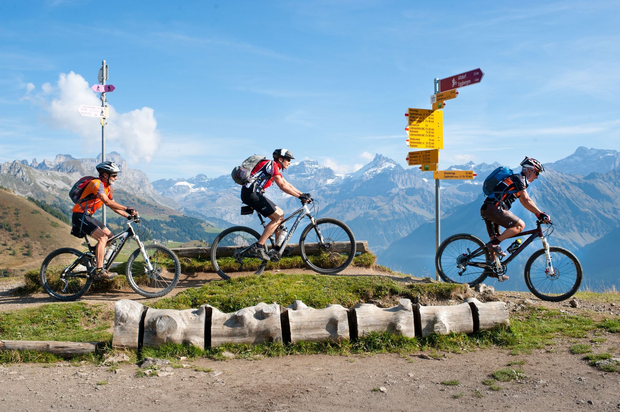
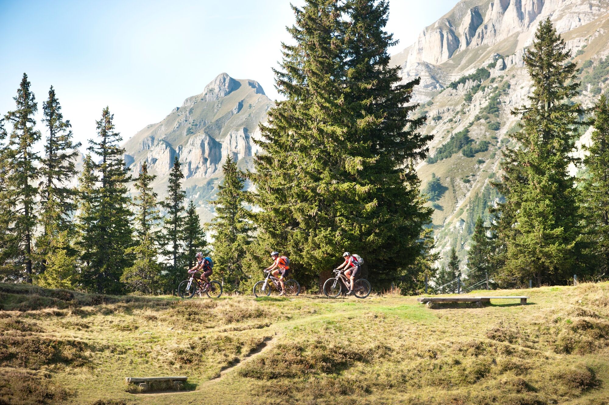
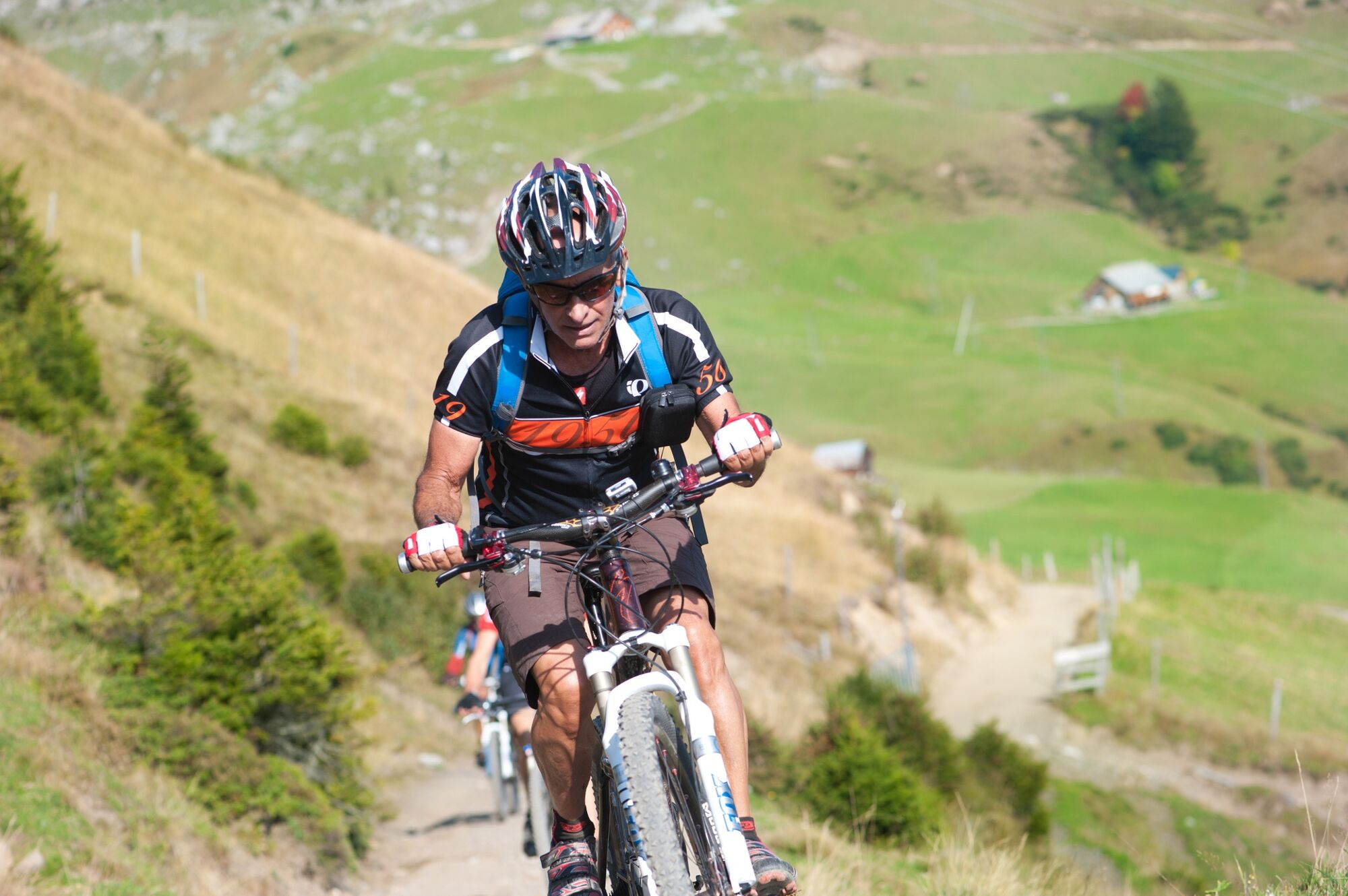
Mountainbike

© A. Sanchez

© A. Sanchez

© A. Sanchez

© A. Sanchez

© A. Sanchez

© A. Sanchez

© A. Sanchez

- Breve descripción
-
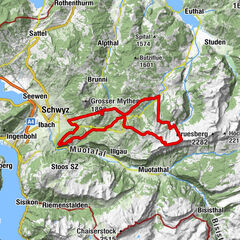
This tour along the Schächen valley high-level trail is a classic MTB destination. The magnificent panoramic excursion is well served in terms of infrastructure and challenging ups and downs amid delightful scenery.
- Dificultad
-
difícil
- Valoración
-
- Ruta
-
Altdorf (458 m)Strickermatte0,0 kmAltdorf UR (447 m)0,1 kmSchattdorf (481 m)3,3 kmUntere Buchen4,1 kmKirchenacker4,4 kmBürglen UR (525 m)4,6 kmObere Strassermatte4,6 kmWebermätteli4,8 kmMuosermätteli4,8 kmPlanzermätteli5,1 kmGörimätteli5,1 kmStalden5,9 kmKinzigpass6,0 kmLoretokapelle St. Simon und Juda6,0 kmDer Gasthof6,1 kmBachergrundboden6,2 kmBohl6,7 kmRaindli6,9 kmTrudelingen7,5 kmUnterer Graben7,6 kmGraben7,7 kmGründli8,5 kmWiterschwanden9,0 kmGasthaus zur Post11,0 kmSpiringen (923 m)11,2 kmUnterschächen (Obsaum)14,0 kmKatholische Kirche St. Theodul14,7 kmBeinhauskapelle14,7 kmRose Restaurant & Bar14,8 kmUnterschächen (995 m)14,8 kmRibi15,7 kmHöll16,1 kmFritter20,3 kmBruder-Klaus-Kapelle27,1 kmClariden27,1 kmKlausenpass - Restaurant-Kiosk27,1 kmAlpbeizli31,7 kmFeldmes37,0 kmVorderer Weissenboden41,4 kmVorderer Weissenboden41,6 kmRestaurant Skihaus Eldelweiss41,6 kmHinteres Mättental41,8 kmOber Alafund42,9 kmRuogig43,6 kmAlp Selez44,4 kmAlpenkiosk Fleschsee45,4 kmBerggasthaus Seeblick49,0 kmEggberge49,1 kmSpitalkappelle56,4 kmSpitalplatz56,6 kmAltdorf (458 m)56,8 kmStrickermatte57,8 km
- Punto álgido
- 1.945 m
- Punto final
-
Altdorf station
- Perfil alto
-
 © outdooractive.com


-

-
AutorLa gira Schächen Valley Bike - 416 SwitzerlandMobility es utilizado por outdooractive.com proporcionado.
GPS Downloads


Información general
Punto de avituallamiento
Vistas panorámicas
Más circuitos por las regiones
-
Uri
194
-
Urner Unterland
110
-
Spiringen - Urner Boden
23