

© Tourist Center Clervaux

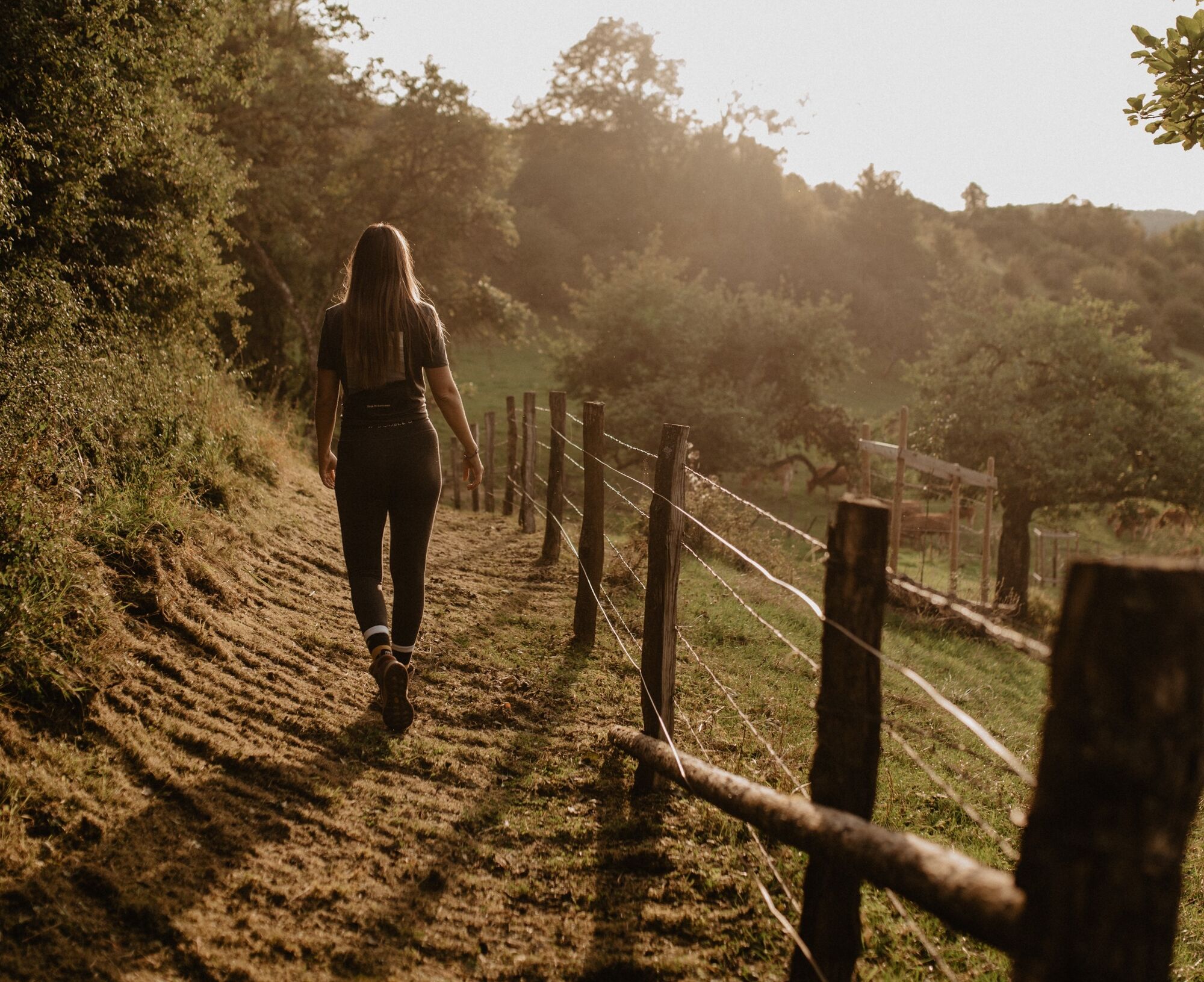
© Visit Éislek

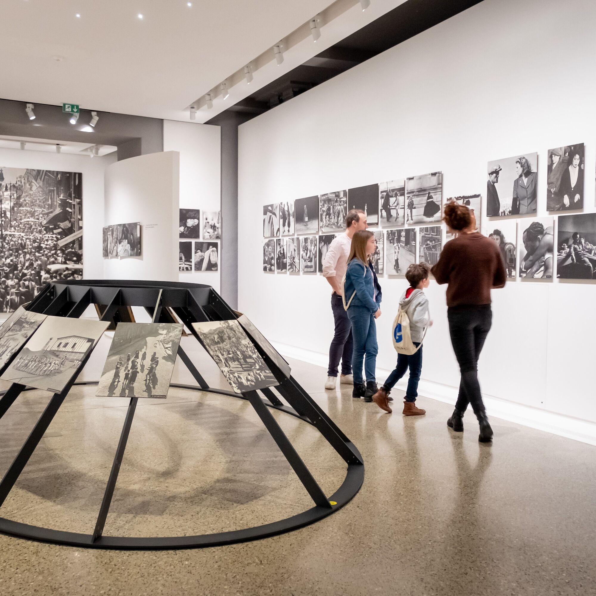
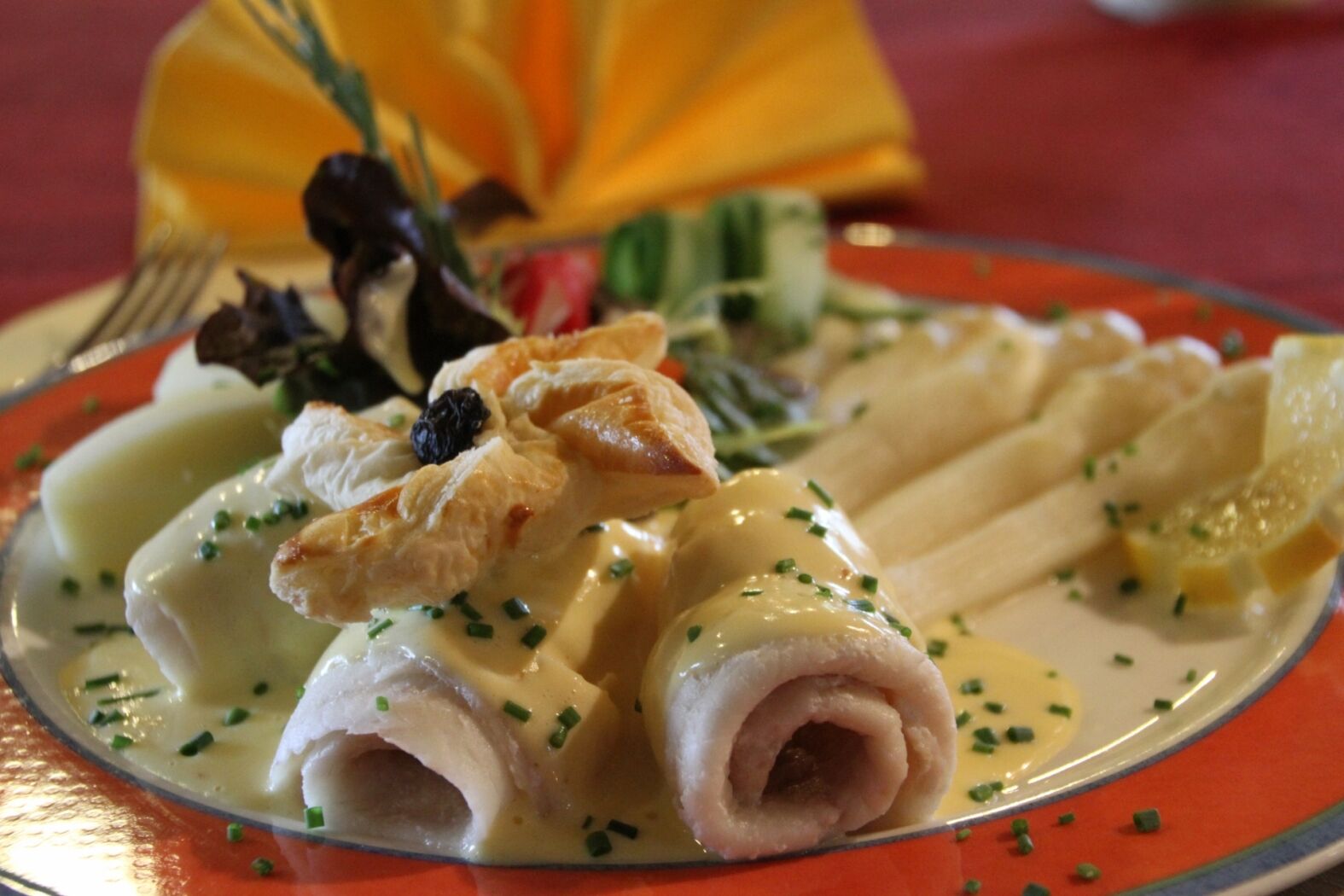
© Pancake! Photographie - PANCAKE!

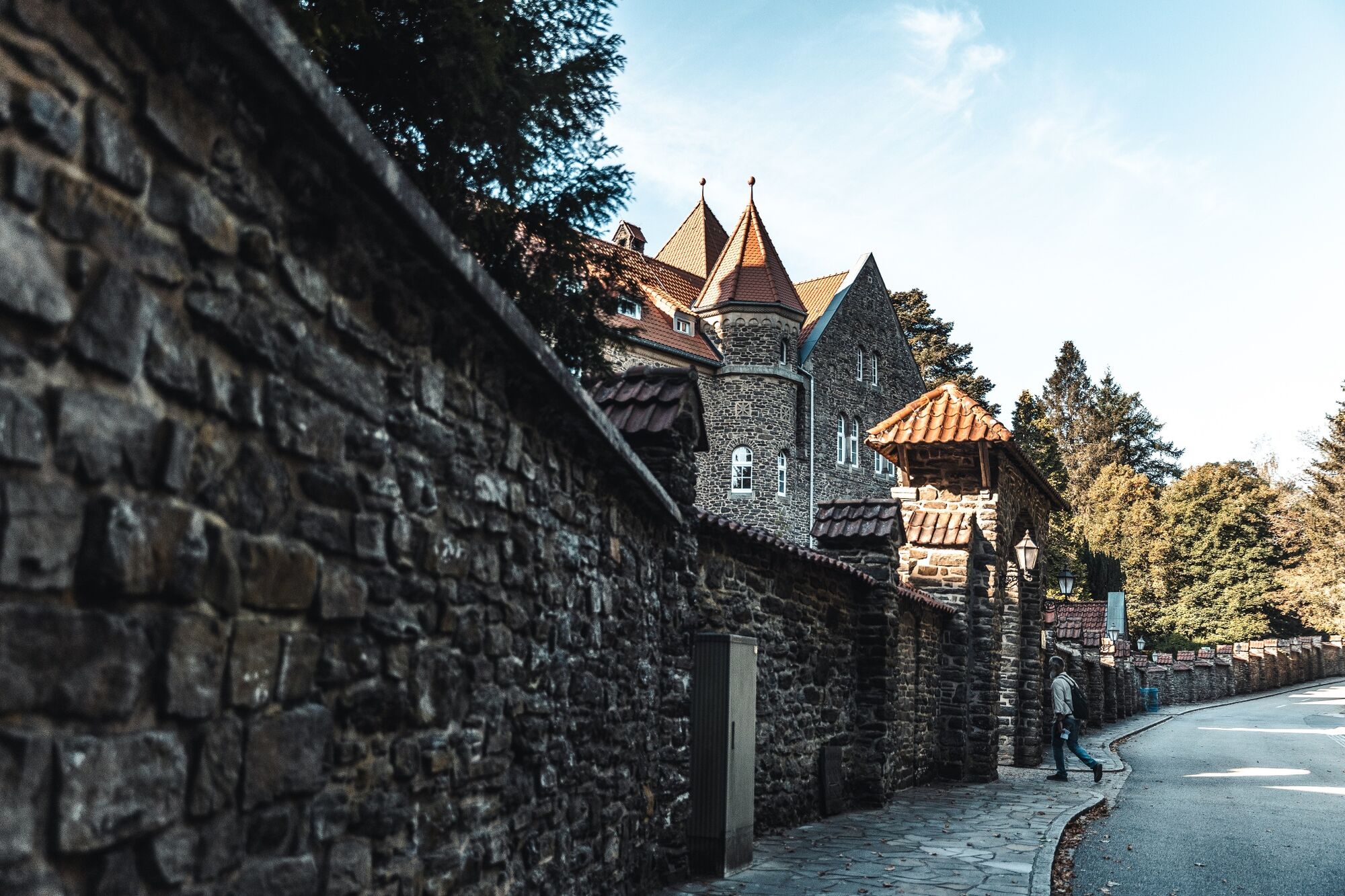
© Alena Lex-Deckers Photographie - Michel YURYEV

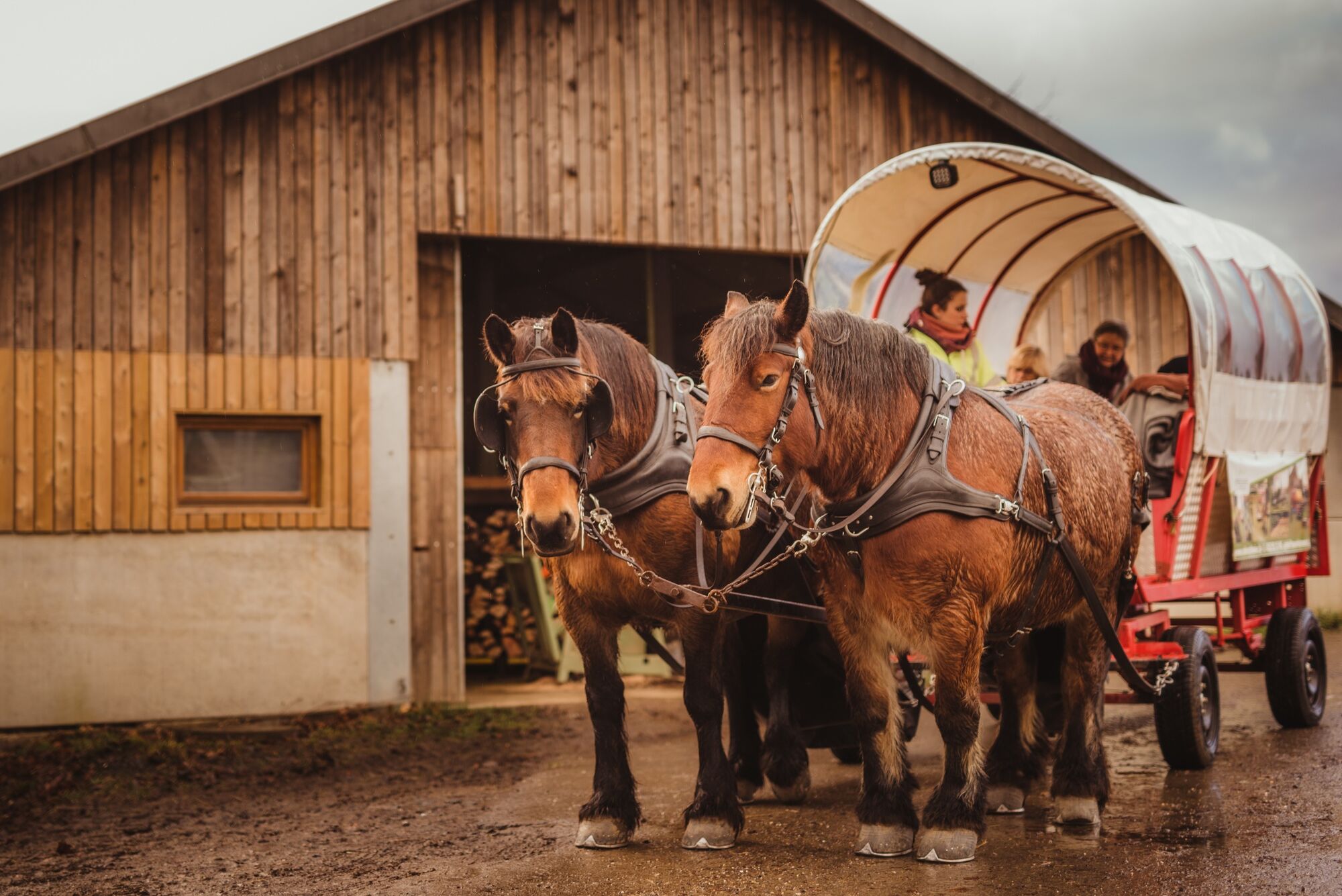
© Robbesscheier

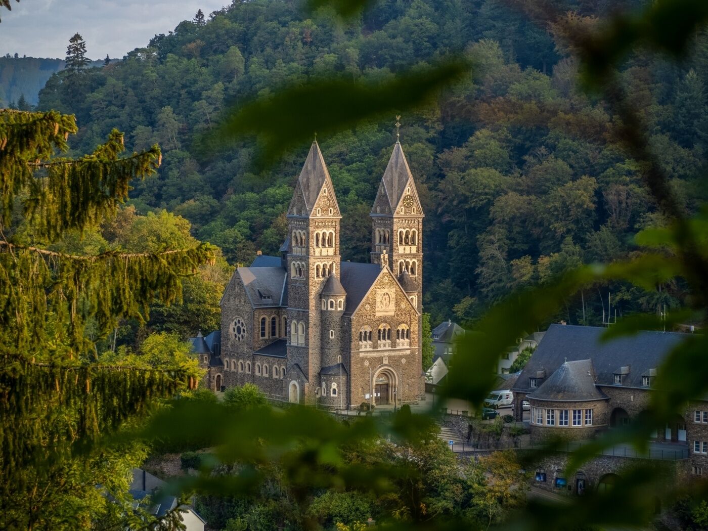
© Visit Éislek

- Breve descripción
-
From the leisurely afternoon round to the challenging hiking tour, everything is included in the Local Hiking Trails.
- Dificultad
-
medio
- Valoración
-
- Ruta
-
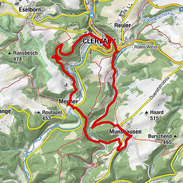
Clerf0,2 kmReuler0,5 kmMunshausen4,3 kmHaupeschkierch4,5 kmA Robbesscheier4,6 kmMecher7,9 kmClerf12,1 kmSaints-Côme-et-Damien12,2 km
- La mejor temporada
-
enefebmarabrmayjunjulagosepoctnovdic
- Punto álgido
- 473 m
- Punto final
-
Clervaux
- Perfil alto
-
 © outdooractive.com
- Autor
-
La gira Local hiking trail CL 5 - Clervaux es utilizado por outdooractive.com proporcionado.
GPS Downloads


Información general
Punto de avituallamiento
Vistas panorámicas
Más circuitos por las regiones


