


© Visit Luxembourg - L. Schömer


- Breve descripción
-
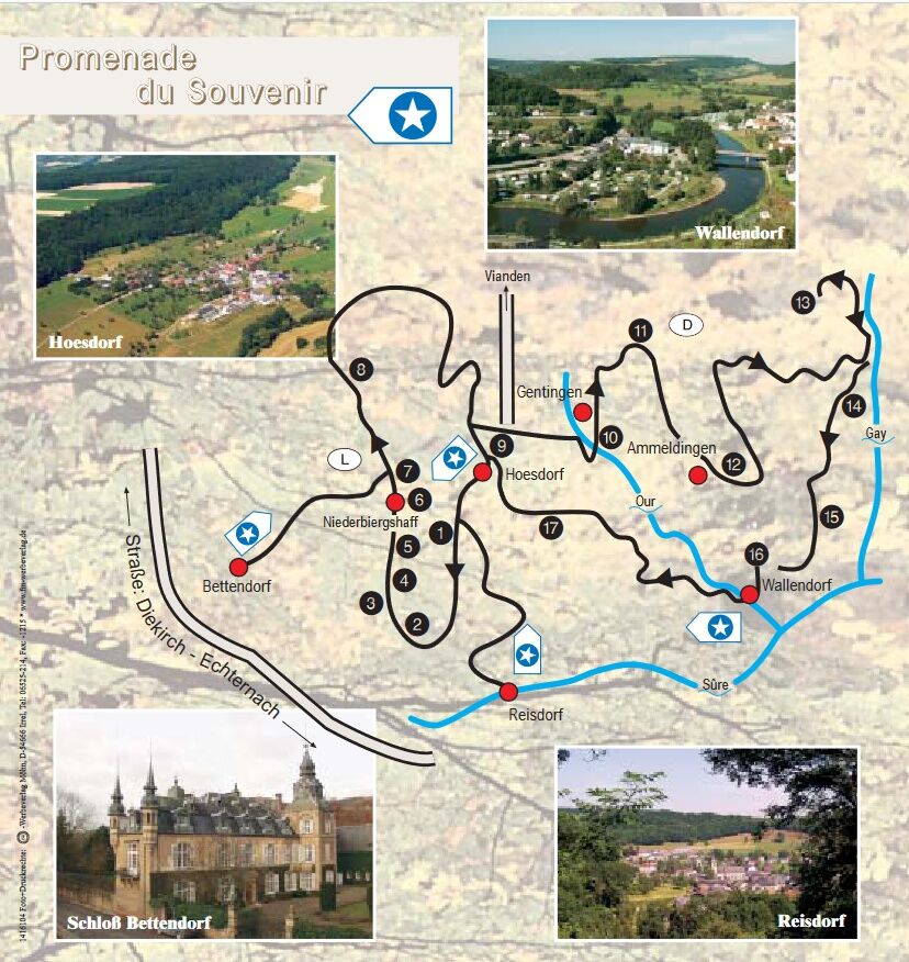
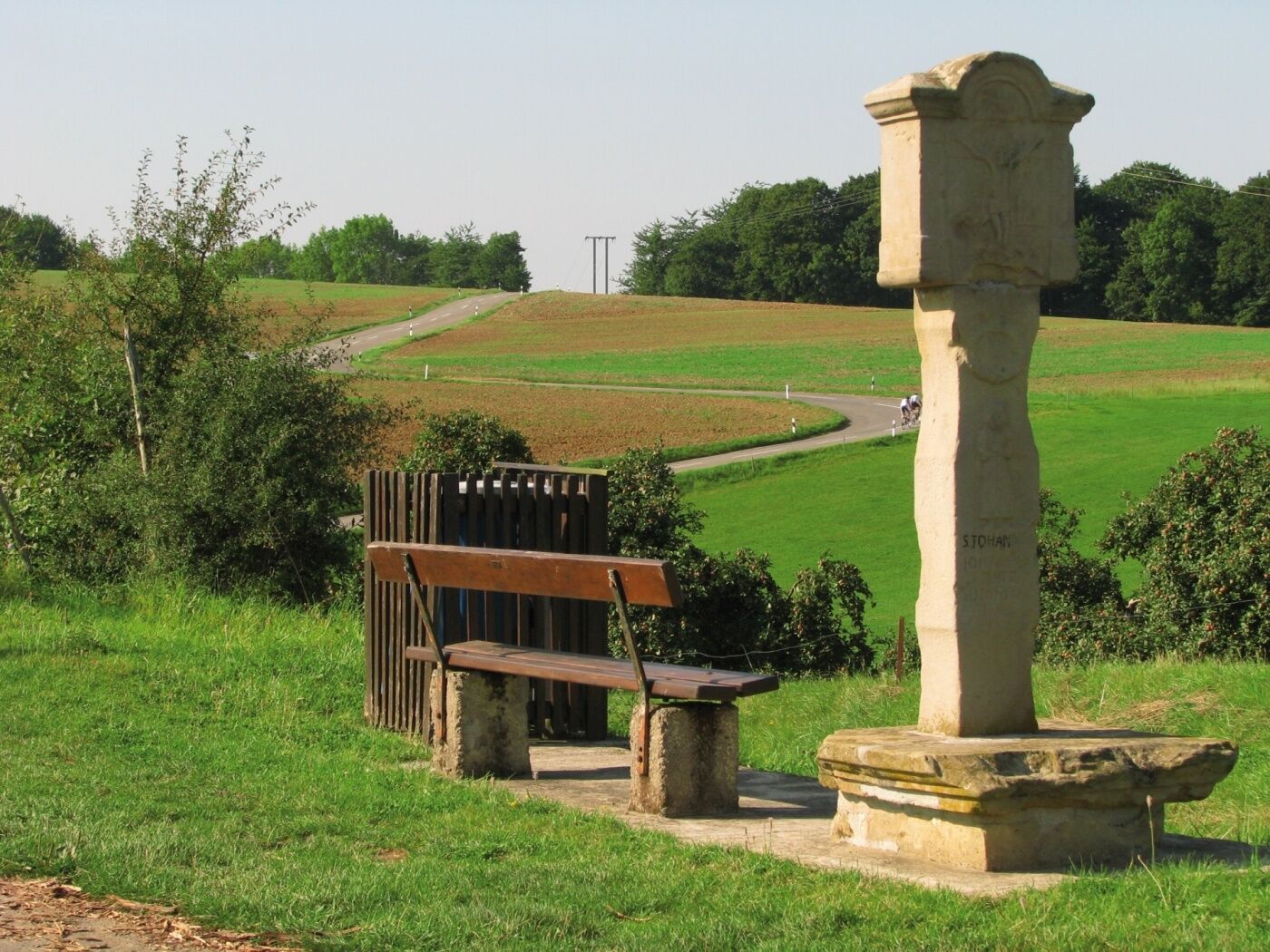
This cross-border historical circular walk explains the war events that took place in this part of the region between 1944 and 1945 on 17 information boards.
- Dificultad
-
medio
- Valoración
-
- Ruta
-
Runnich7,0 kmBruch8,1 kmSt. Johannes der Täufer8,5 kmGentingen8,7 kmAmmeldingen an der Our11,0 kmHoesdorf11,7 kmWallendorferbrück15,0 kmWallendorf16,4 kmKuelebierg19,0 kmHoesdorf19,5 km
- La mejor temporada
-
enefebmarabrmayjunjulagosepoctnovdic
- Punto álgido
- 407 m
- Punto final
-
6 route de la Sûre Reisdorf
- Perfil alto
-
 © outdooractive.com
- Autor
-
La gira Remembrance Walk es utilizado por outdooractive.com proporcionado.
GPS Downloads


Información general
Cultural/Histórico
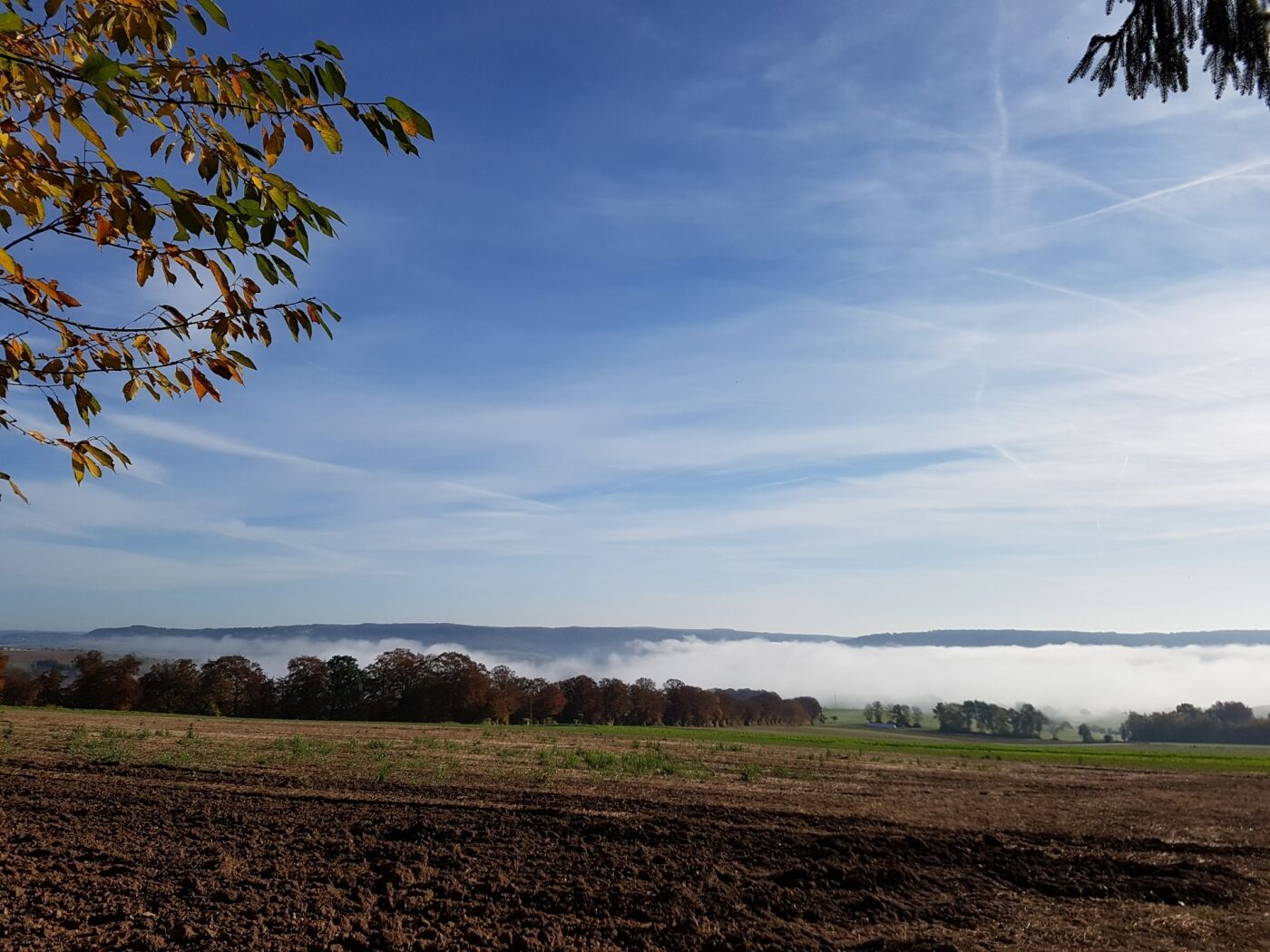
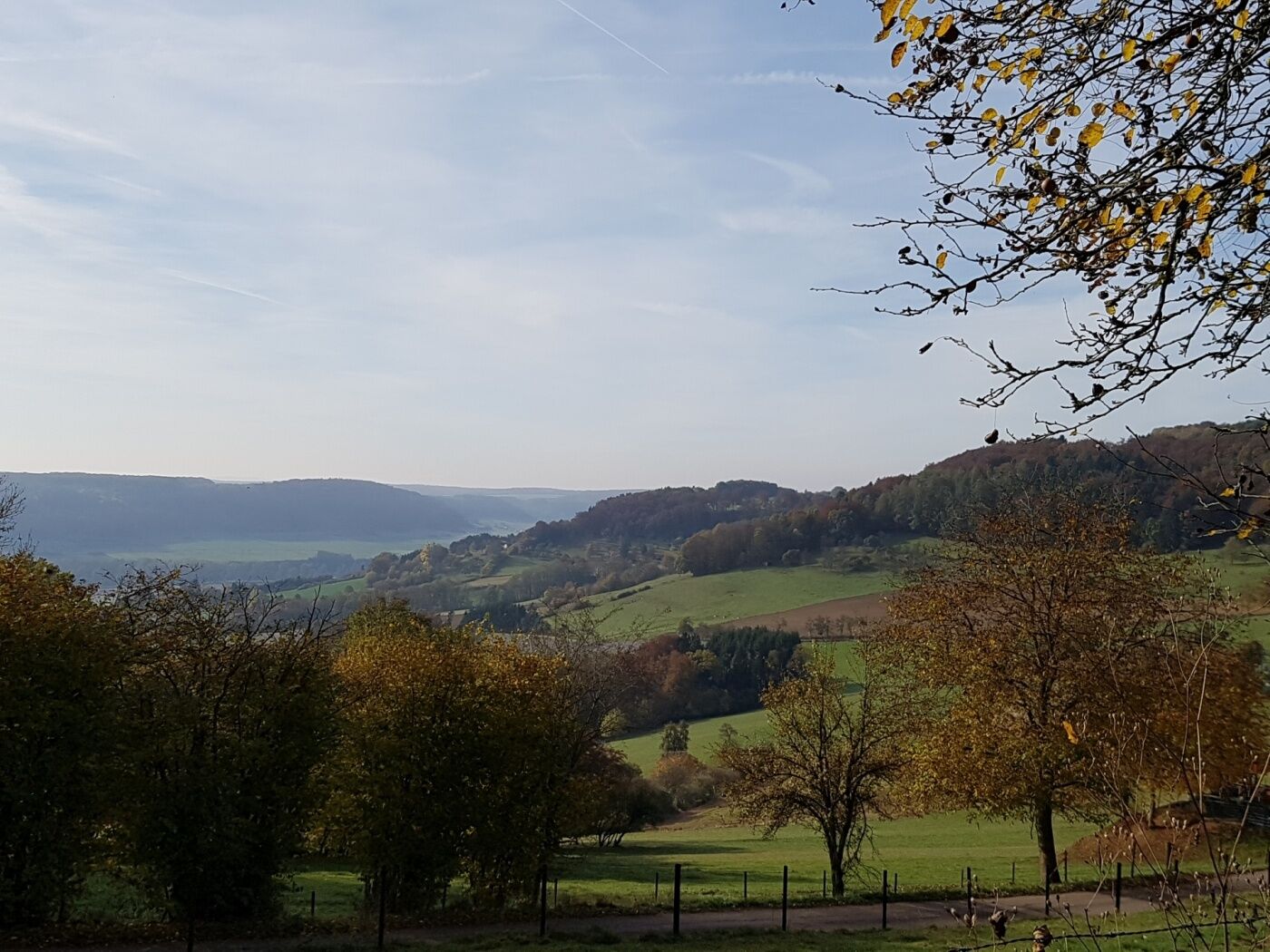
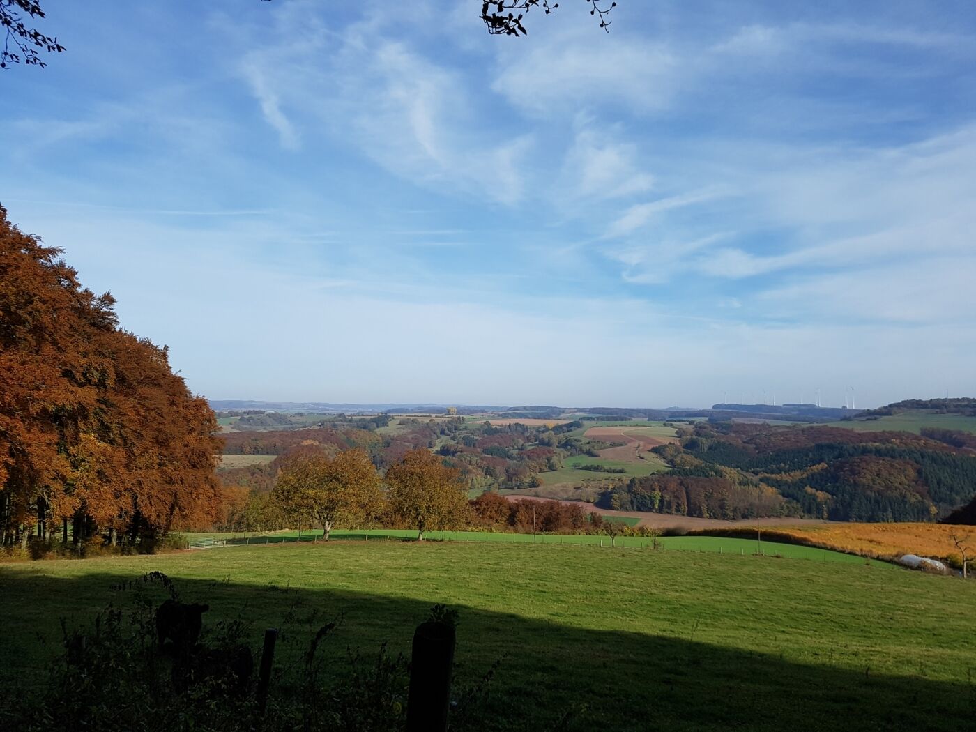
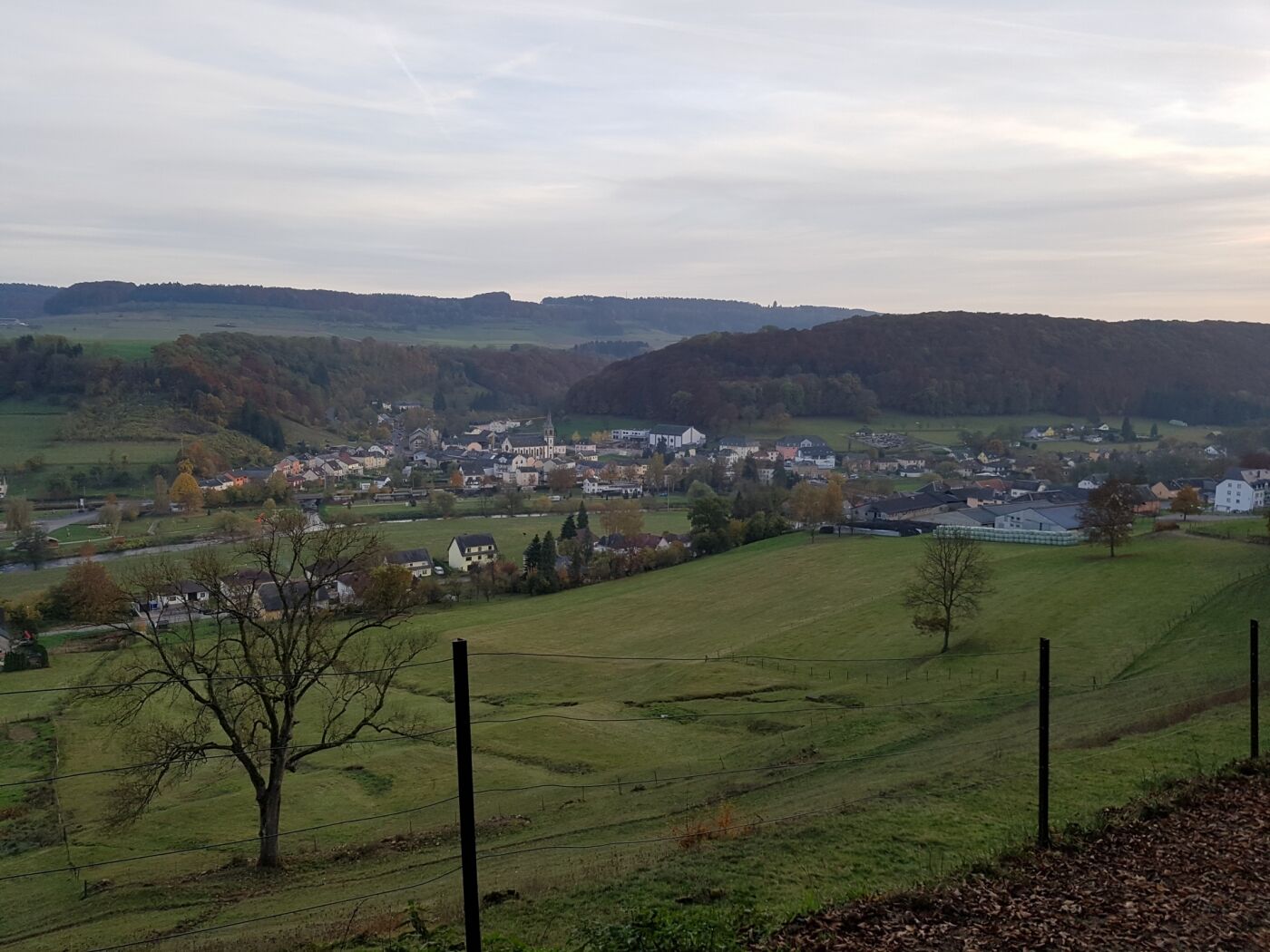
Vistas panorámicas
Más circuitos por las regiones
-
Müllerthal
548
-
Vianden
159


