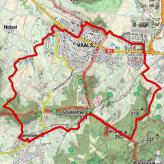
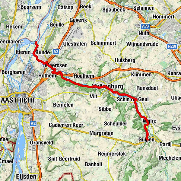
Göhl valley route Via Gulia - Gulpen - Valkenburgh - Maas

Senderismo

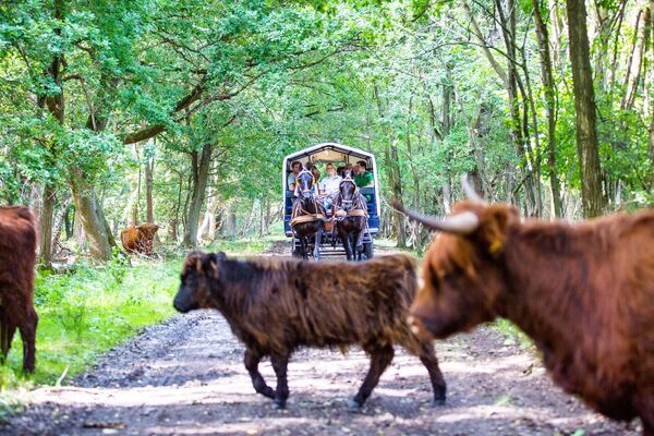
© Tourismusagentur Ostbelgien - Willi Filz

© Tourismusagentur Ostbelgien - Via Gulia

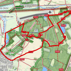
© Tourismusagentur Ostbelgien - Grenzrouten

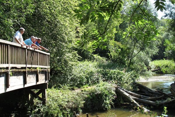
© Tourismusagentur Ostbelgien - Hahnbueck

- Breve descripción
-
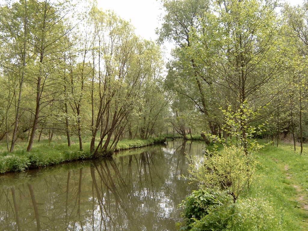
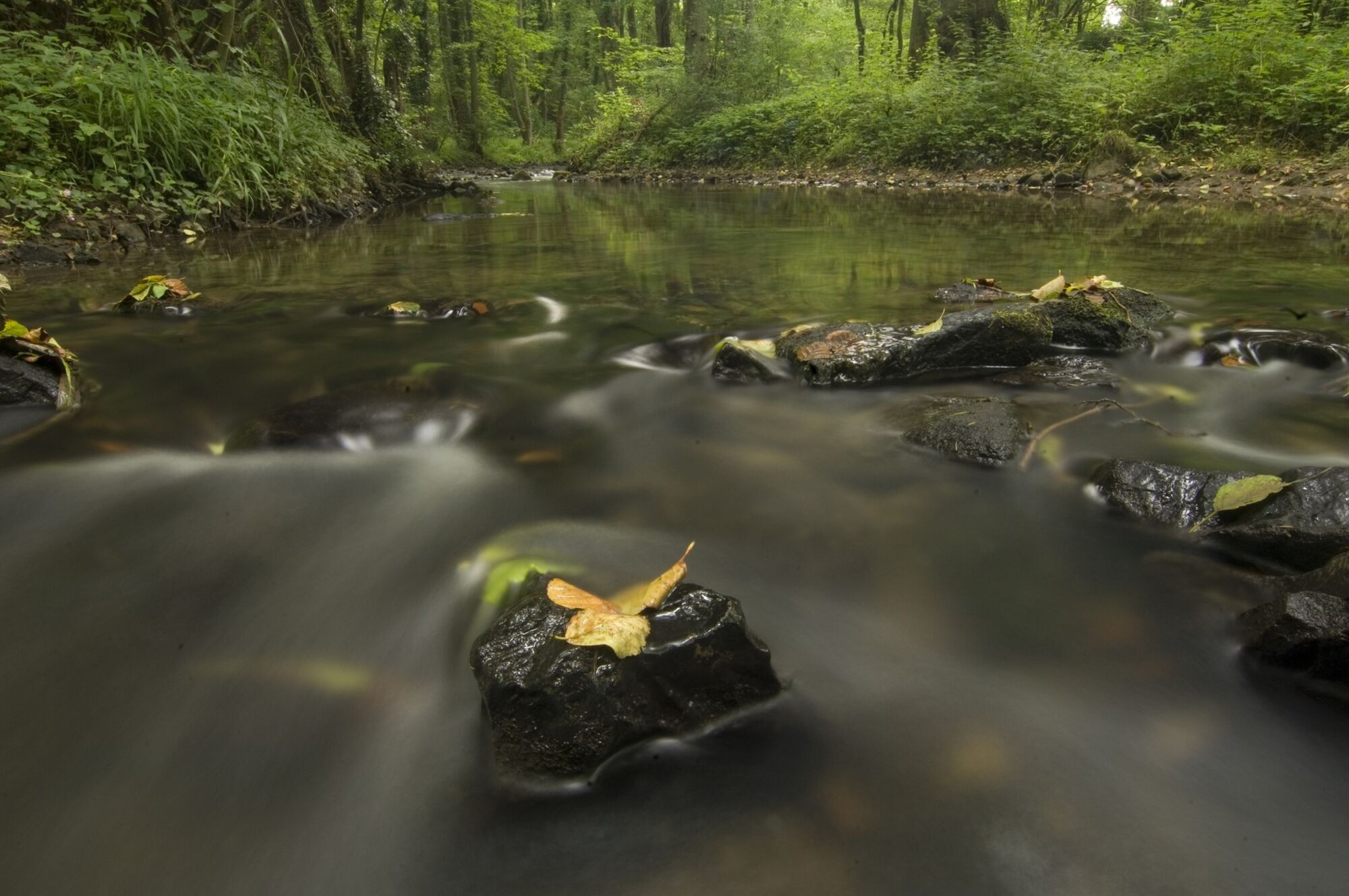
On the edge of Aachen Forest, between Köpfchen and Lichtenbusch, on the border between Germany and Belgium, lies the source of the Göhl.
- Dificultad
-
medio
- Valoración
-
- Ruta
-
GulpenGracht Burggraaf0,5 kmBertzenhoven1,4 kmWeiler2,3 kmGronselenput4,2 kmKeutenberg4,4 kmEngwegen4,8 kmSchin op Geul5,4 kmSint-Mauritiuskerk6,0 kmGroeve bij de Drie Beeldjes7,5 kmSint-Jansbron8,0 kmNeerhem9,1 kmOnze-Lieve-Vrouw van Altijddurende Bijstandkerk9,3 kmFalkenburg9,5 kmH.H. Nicolaas en Barbarakerk9,5 kmKloostergroeve (70 m)12,3 kmBrasserie Hotel Brakkeberg12,6 kmLa Caverne de Geulhem12,7 kmDe Geulhemermolen13,4 kmGöhlheim13,4 kmMeersen17,4 kmVoulwames22,2 km
- La mejor temporada
-
enefebmarabrmayjunjulagosepoctnovdic
- Punto álgido
- 109 m
- Punto final
-
Maas. GPS- Cordinates 50.908675,5.722847
- Perfil alto
-
 © outdooractive.com
- Autor
-
La gira Göhl valley route Via Gulia - Gulpen - Valkenburgh - Maas es utilizado por outdooractive.com proporcionado.
GPS Downloads


Más circuitos por las regiones
-
Limburg - Flandern
41
-
Maastricht
26