


Tarmola - Teirikallio - walking route
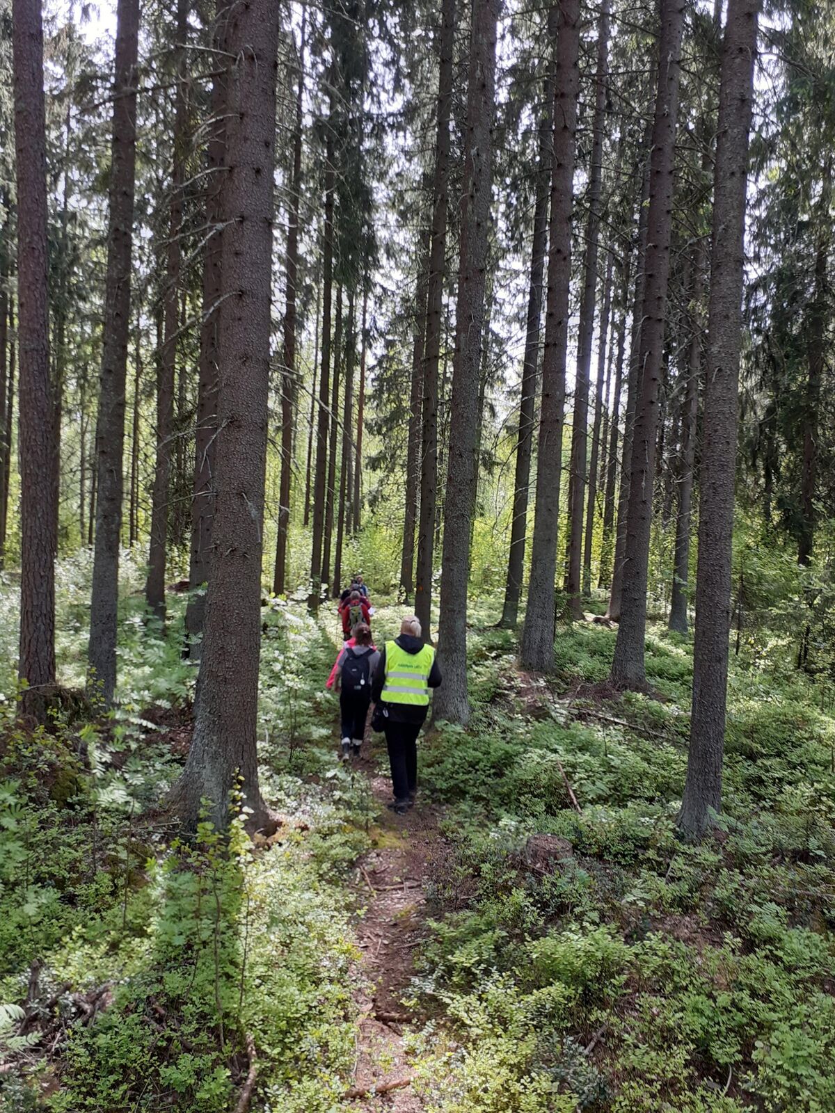
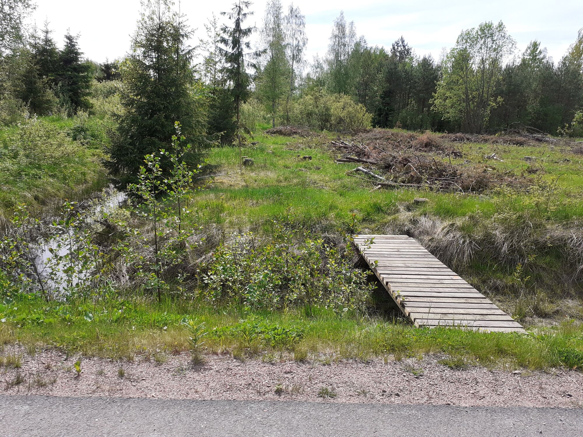
Along the walking trails, nature shows itself in all its glory. There are open cliffs, marshes, the different stages of forest management, different types of forest.
But especially the fresh air and the...
But especially the fresh air and the silence.
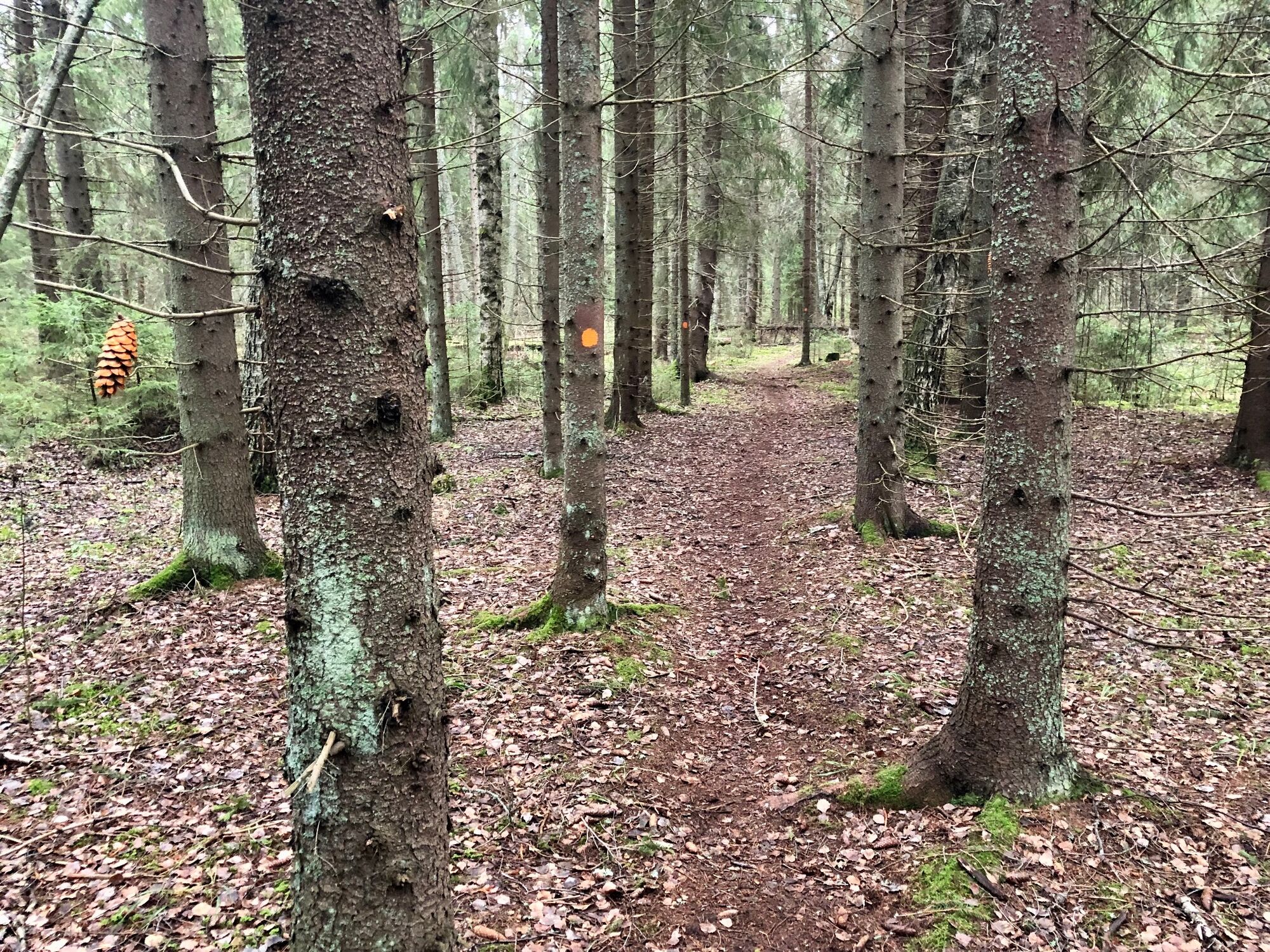
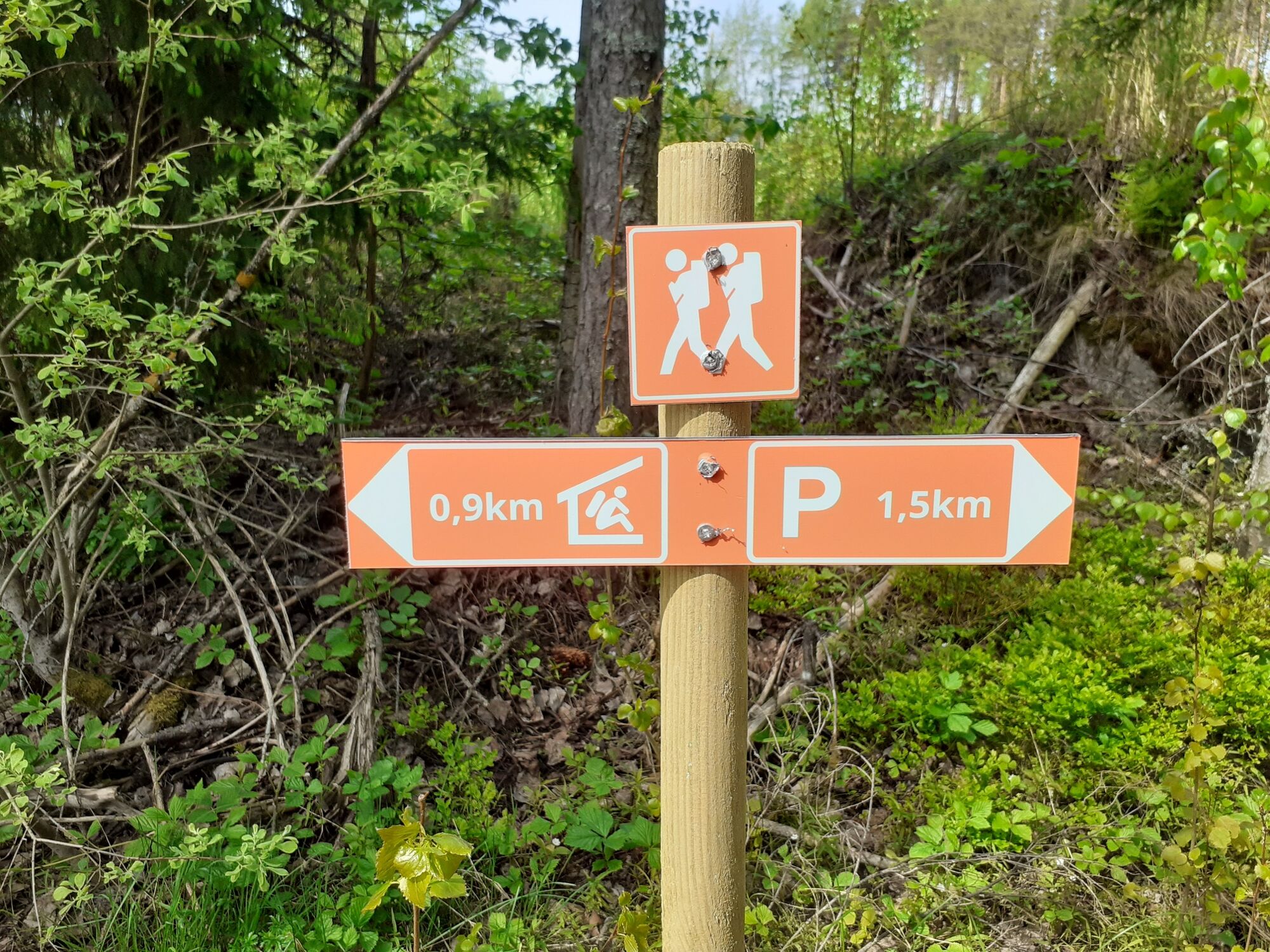
The paths are marked with orange marks painted on the trees and signposted at the crossroads.
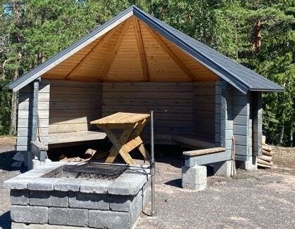
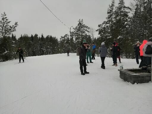
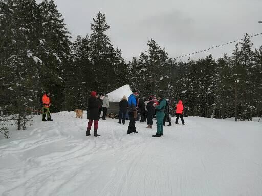
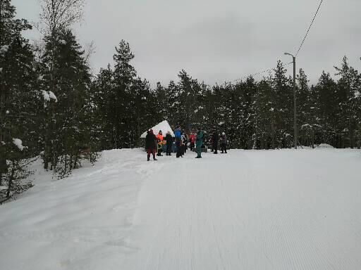
The footpaths are a great way to get to the Teirikallio hut also in winter, when the fitness track is used by skiers.
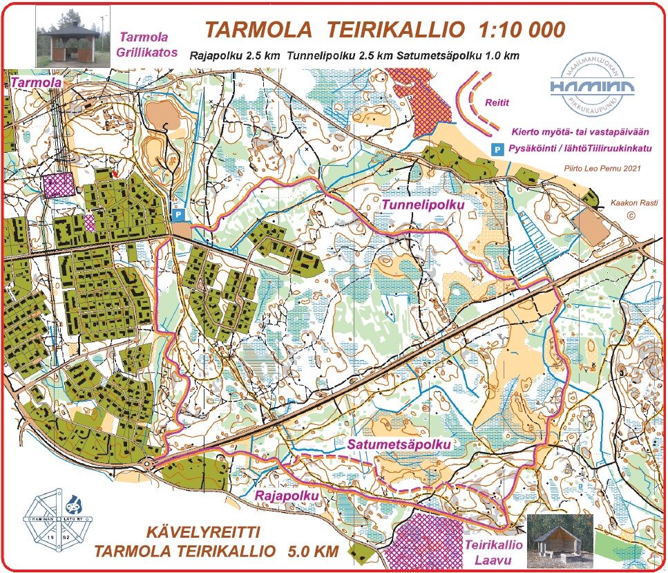
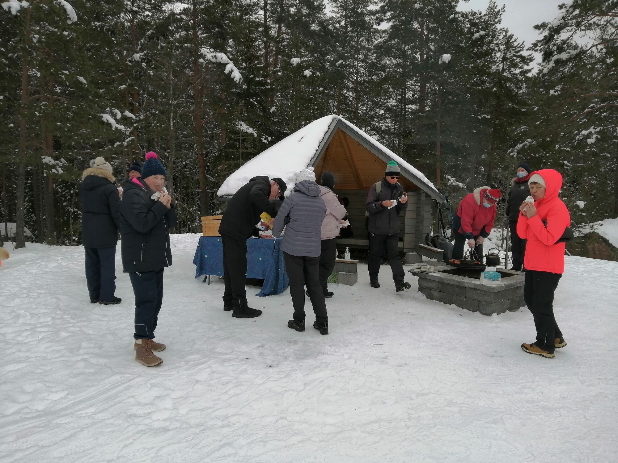
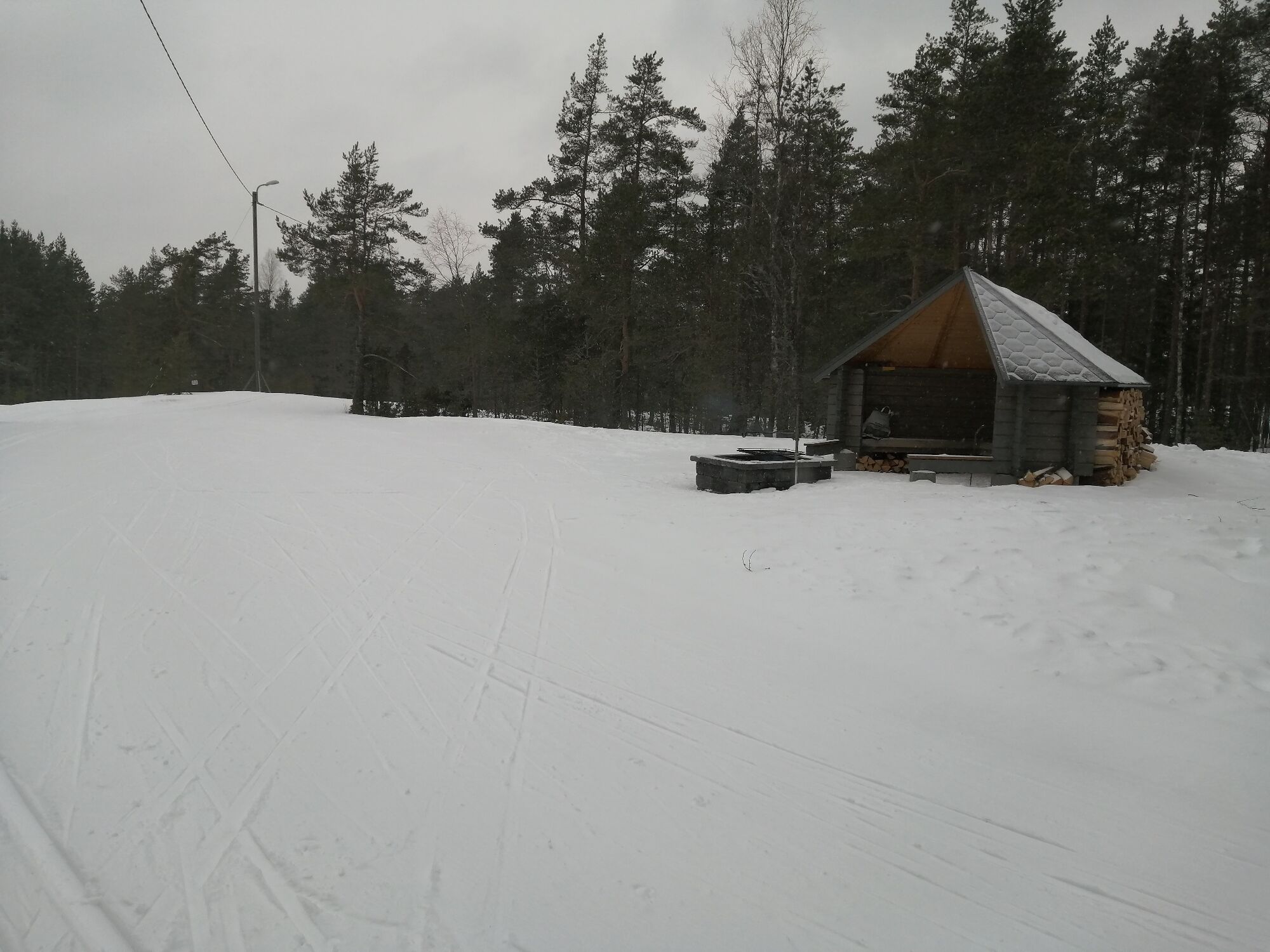
The Tarmola - Teirikallio walking trails run through the Tarmola terrain in eastern Hamina.
Sí
Sí
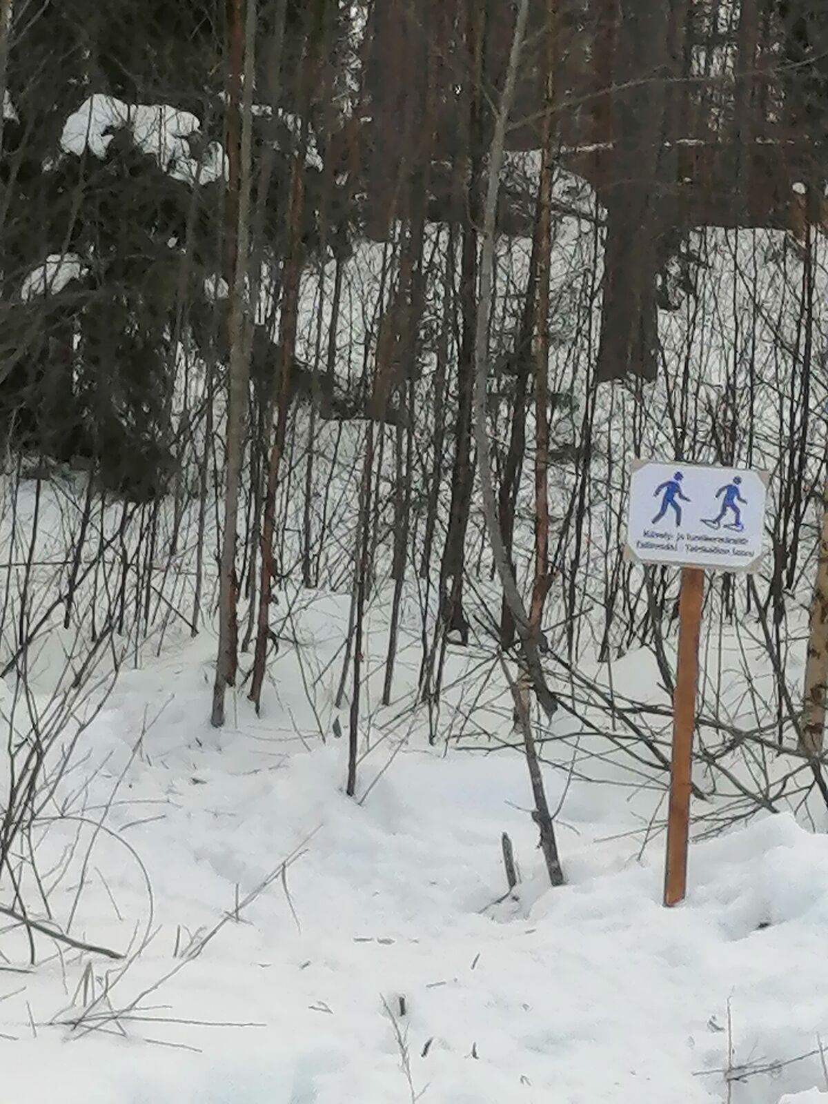
In winter, you can walk, snowshoe or gliding snowshoes on the trail.
There is a firing range south of the border trail, so when walking on the border trail, stay on the trail.
Google maps route
Google maps route
Along the tunnel route you can see small fortifications built by the armed forces.
The area is used as a training ground for the Finnish military
Rutas populares en los alrededores
-
Ruta en bicicleta Villa Jaakkola - Parada en Hamina
luzCiclismo 27,1 km -
Sendero natural de Horessootin, Hamina
luzSendero temático 3,24 km -
Hamina cycling route
luzCiclismo 16,4 km -
Recorrido rural de Villa Jaakkola
luzCiclismo 35,8 km -
Portimo trails - Vehkalinna-Kuntohuhta, Hamina
Senderismo 4,66 km -
Portimo trail - Kirimaja tour, Hamina
Senderismo 8,15 km -
Ruta ciclista de Museotie, Hamina y Virolahti
medioCiclismo 71,9 km -
Portimon polut, Riuhtan reitti
medioSenderismo 2,83 km -
Portimon polut - Recorrido Valklampi-Veiklampi, Hamina
medioSenderismo 6,50 km -
Caminos de Portimo - Luomakangas-Siliävuori, Hamina
medioSenderismo 3,96 km
Senderismo y rastreo


No se pierda las ofertas y la inspiración para sus próximas vacaciones
Su dirección de correo electrónico se ha añadido a la lista de correo.