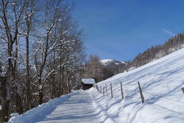
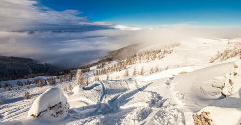
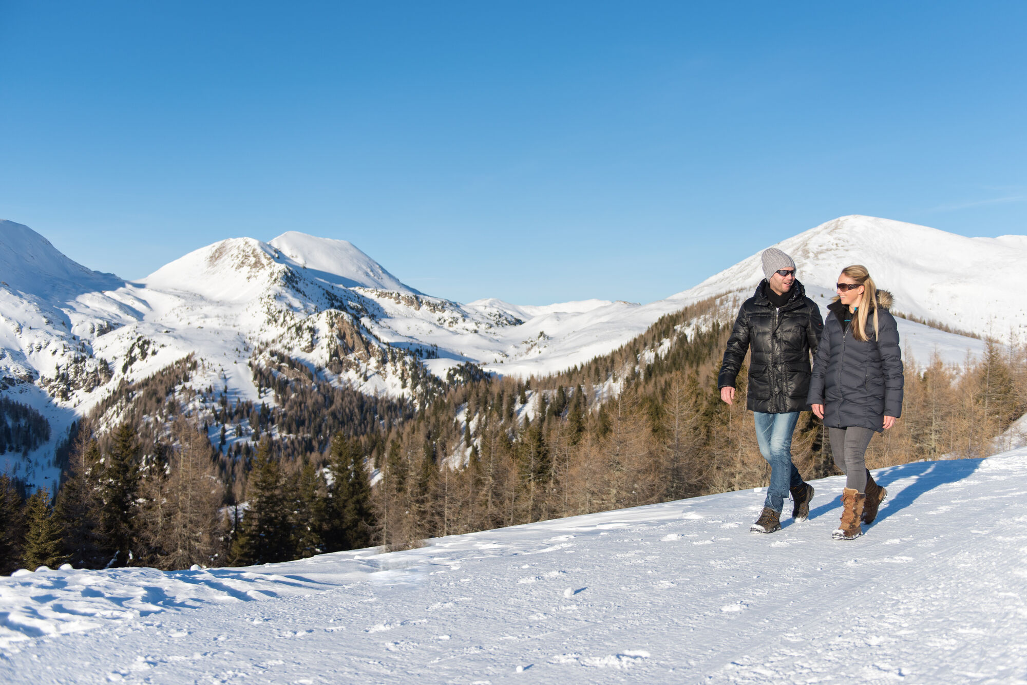
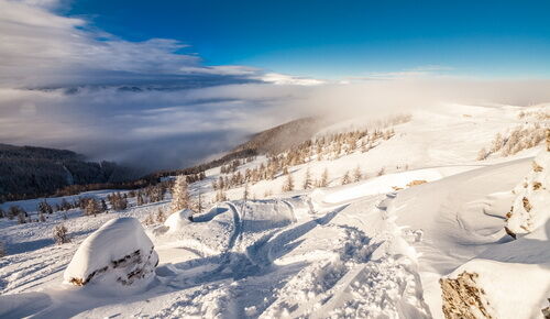
Winter hike "Brunnachhöhe - Brunnachgatter"

Senderismo de invierno
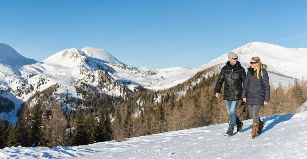
© © Franz Gerdl, 2018 - Franz Gerdl
© Mathias Prägant
Datos del tour
2,16km
1.894
- 2.014m
145hm
145hm
01:20h
- Breve descripción
-
Biosphärenparkbahn Brunnach/ restaurant NockIN - Brunnachgatter (direction Mallnock) - back
- Dificultad
-
fácil
- Valoración
-
- Punto de salida
-
Mountain station of the Biossphärenparkbahn Brunnach
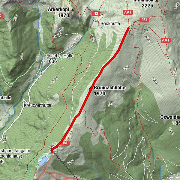
- Ruta
-
Nock INBrunnachhöhe (1.970 m)1,1 km
- La mejor temporada
-
agosepoctnovdicenefebmarabrmayjunjul
- Punto álgido
- 2.014 m
- Punto final
-
Brunnachgatter - back to the mountain station of the Biossphärenparkbahn Brunnach
- Descanso/Avituallamiento
-
Restaurant NockIN
GPS Downloads


Más circuitos por las regiones