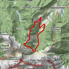

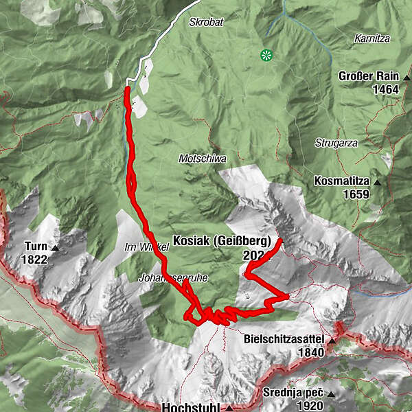
Datos del tour
15,35km
960
- 2.024m
1.027hm
1.000hm
05:48h
- Breve descripción
-
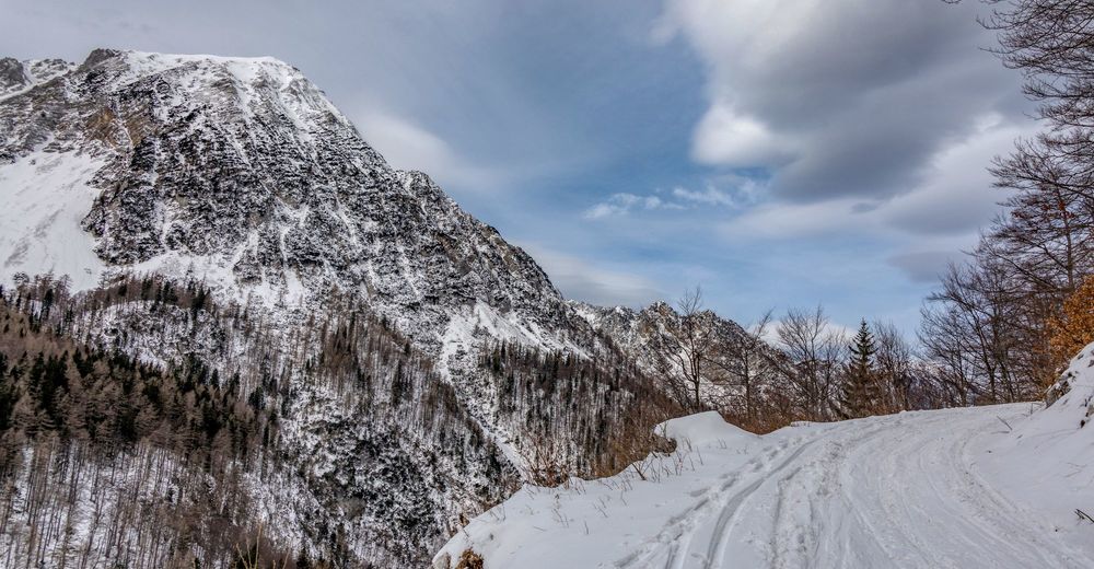
Von der Stouhütte auf den Kosiak über die Klagenfurter Hütte
- Dificultad
-
medio
- Valoración
-
- Punto de salida
-
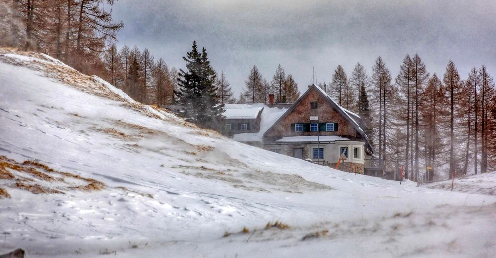
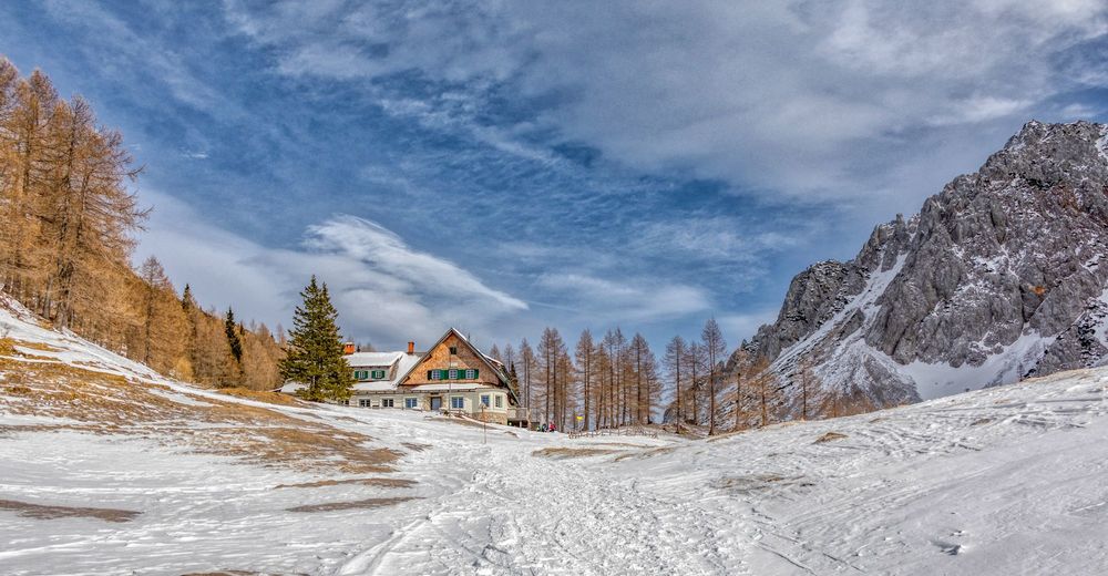
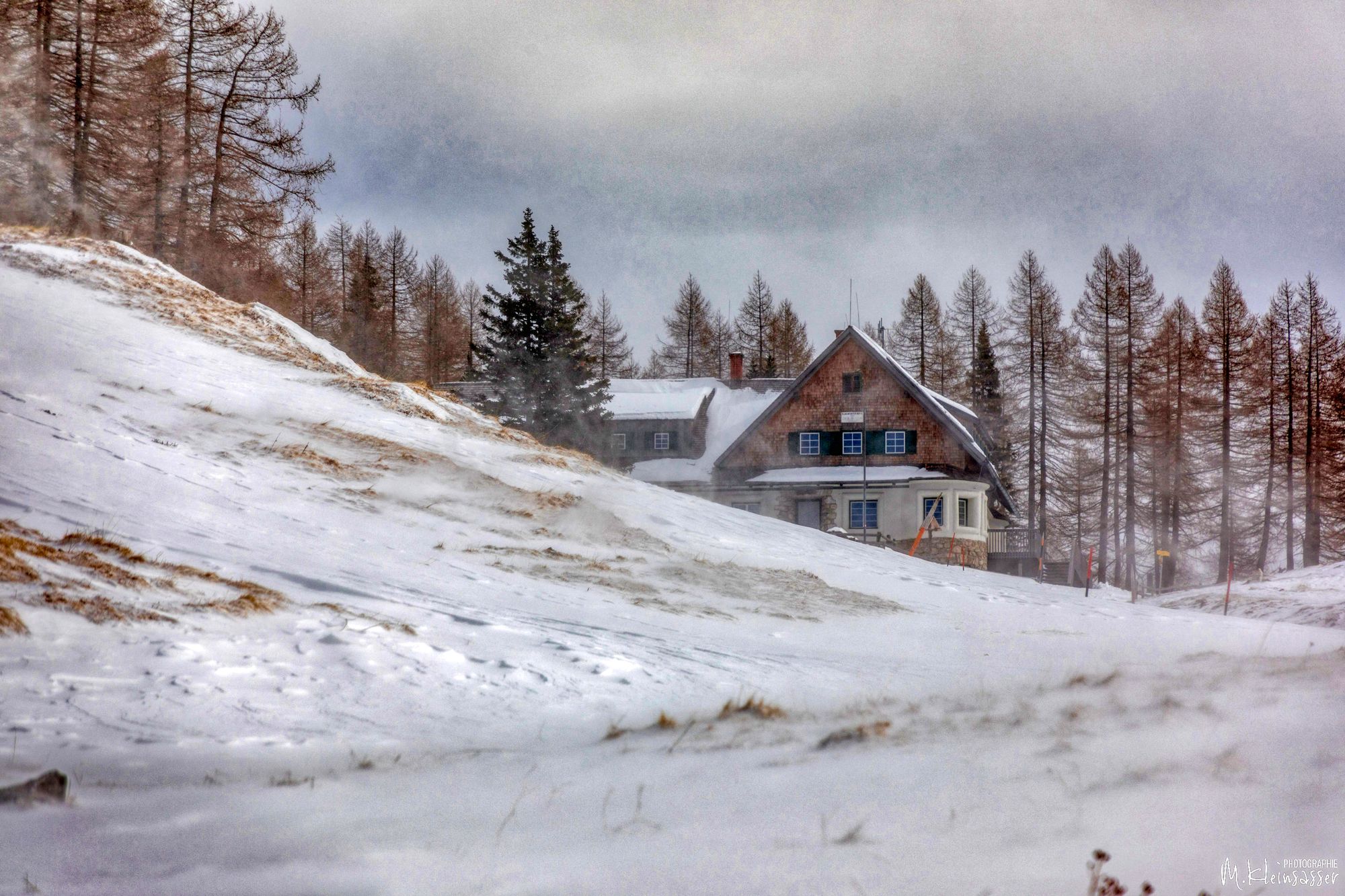
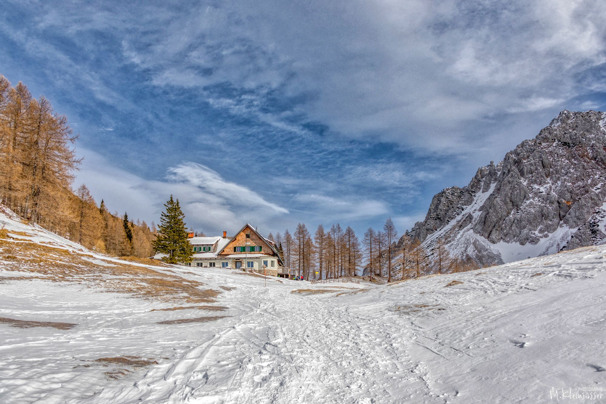
Stouhütte, 960m
- Ruta
-
Johannsenruhe2,8 kmKosiak (2.024 m)8,0 kmKlagenfurter Hütte (1.664 m)9,4 kmJohannsenruhe12,6 km
- La mejor temporada
-
agosepoctnovdicenefebmarabrmayjunjul
- Punto álgido
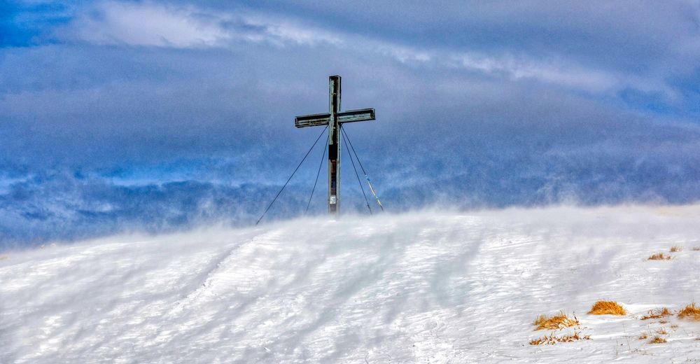
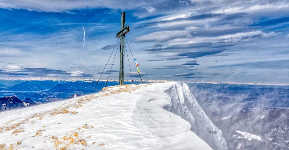
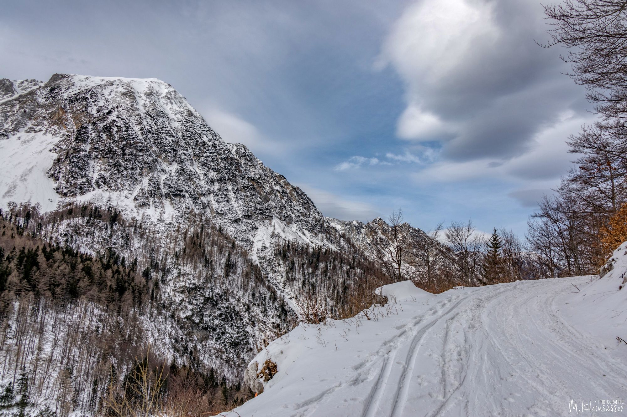
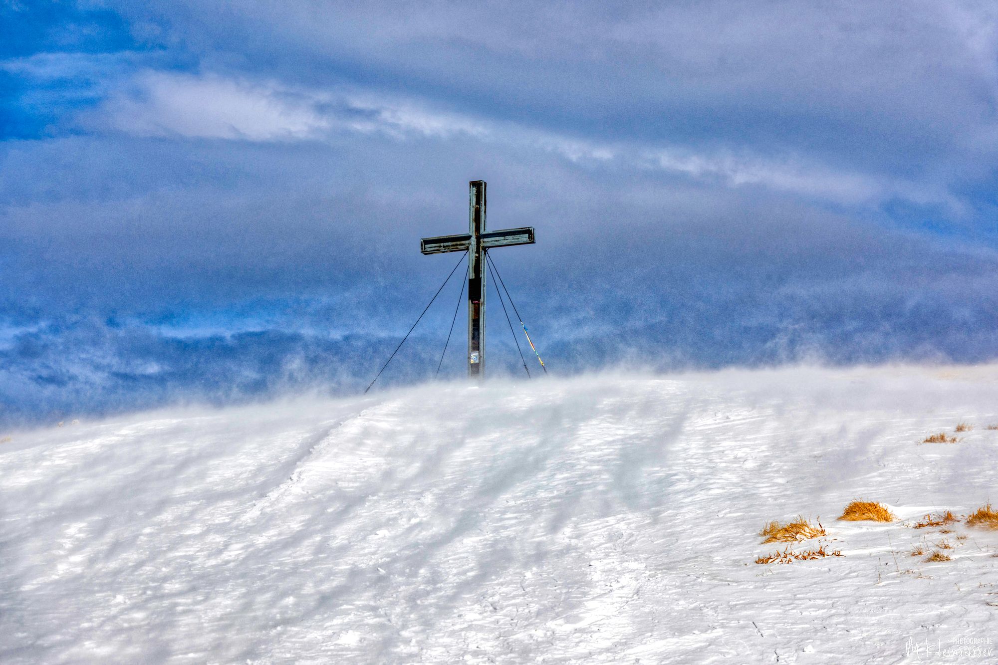
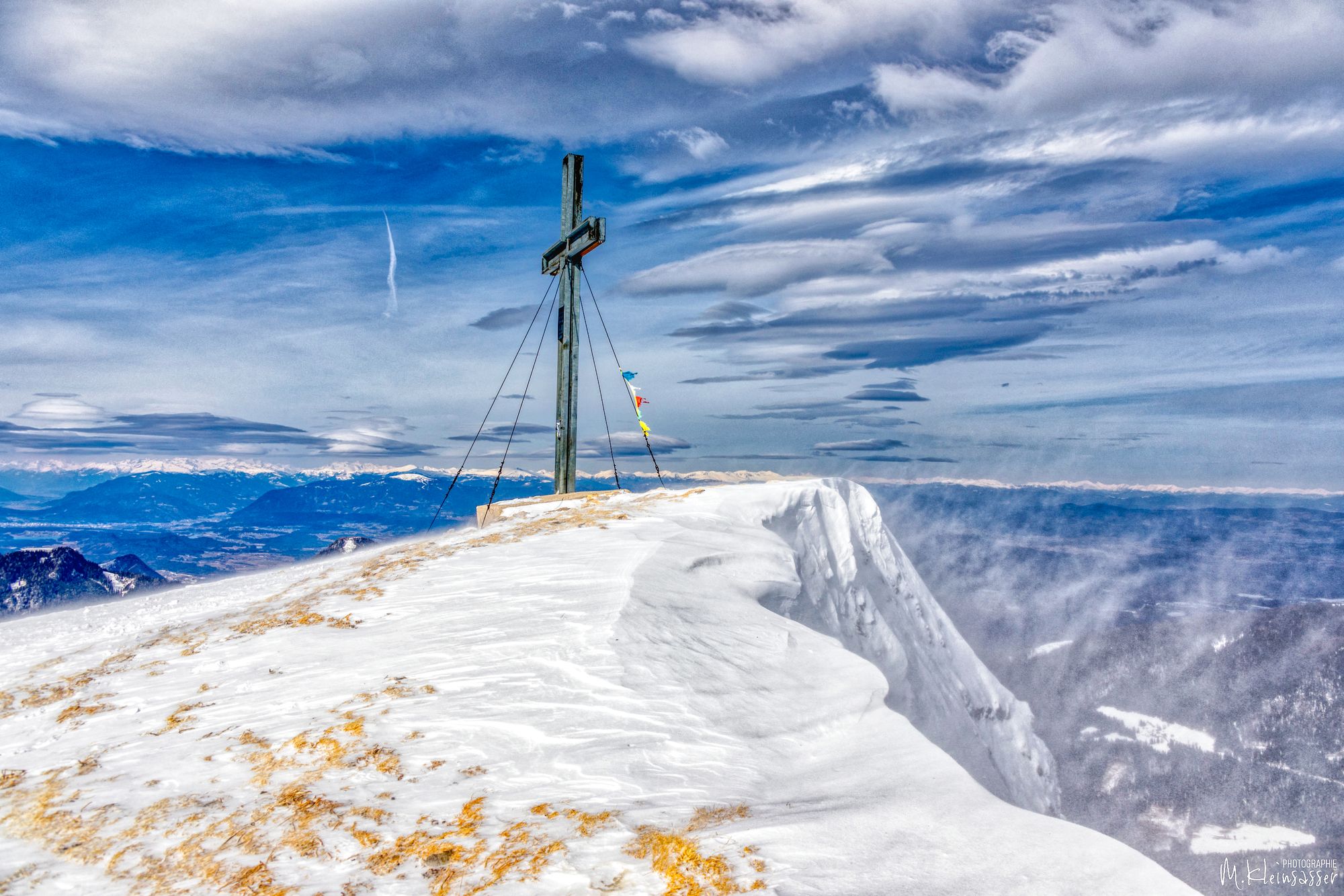
- Kosiak, Geißberg (2.024 m)
- Punto final
-
Kosiak, 2024m
- Descanso/Avituallamiento
-
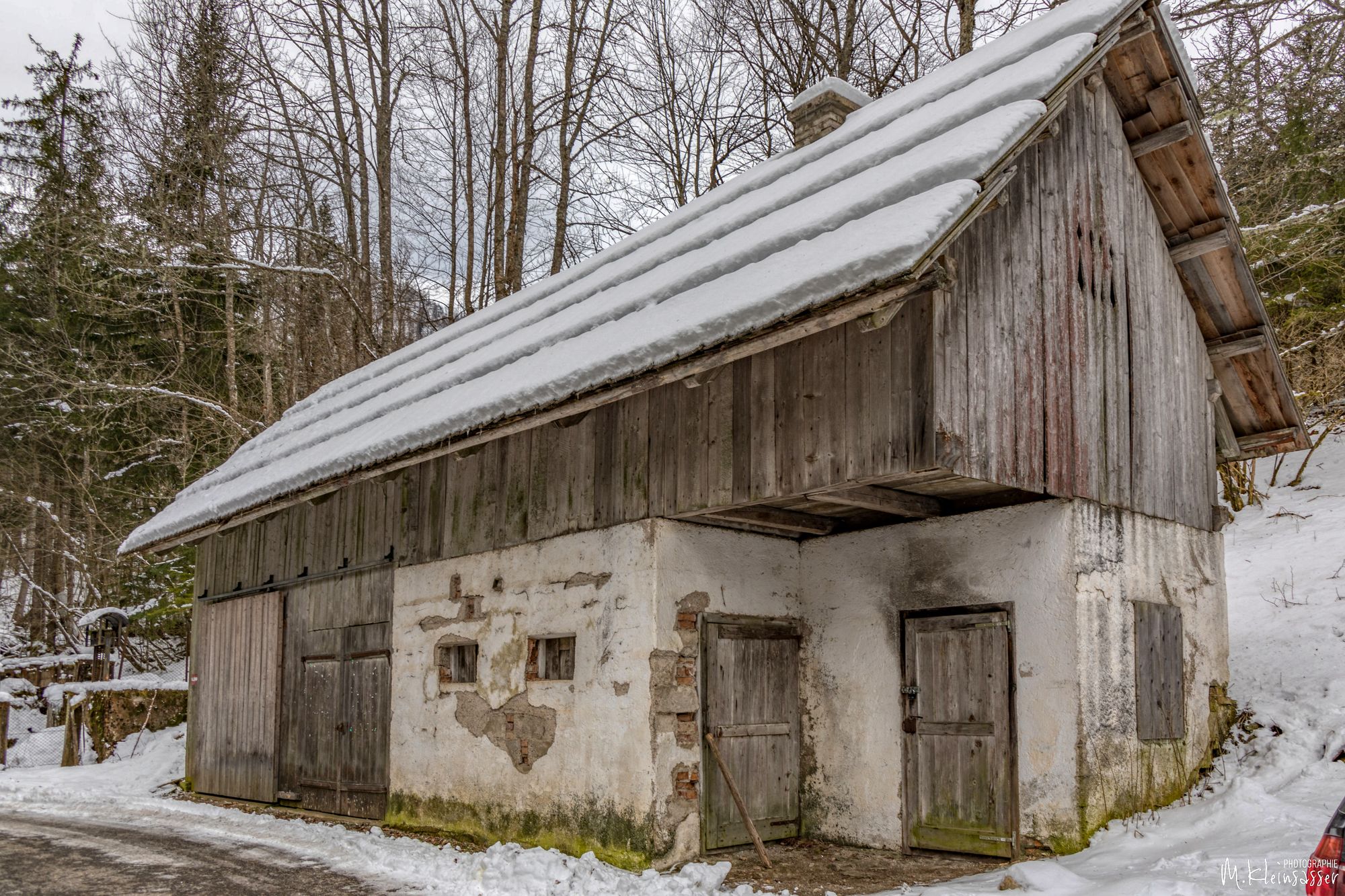
Klagenfurter Hütte !! Perfekt

- Fuente
- Mike
GPS Downloads


Más circuitos por las regiones