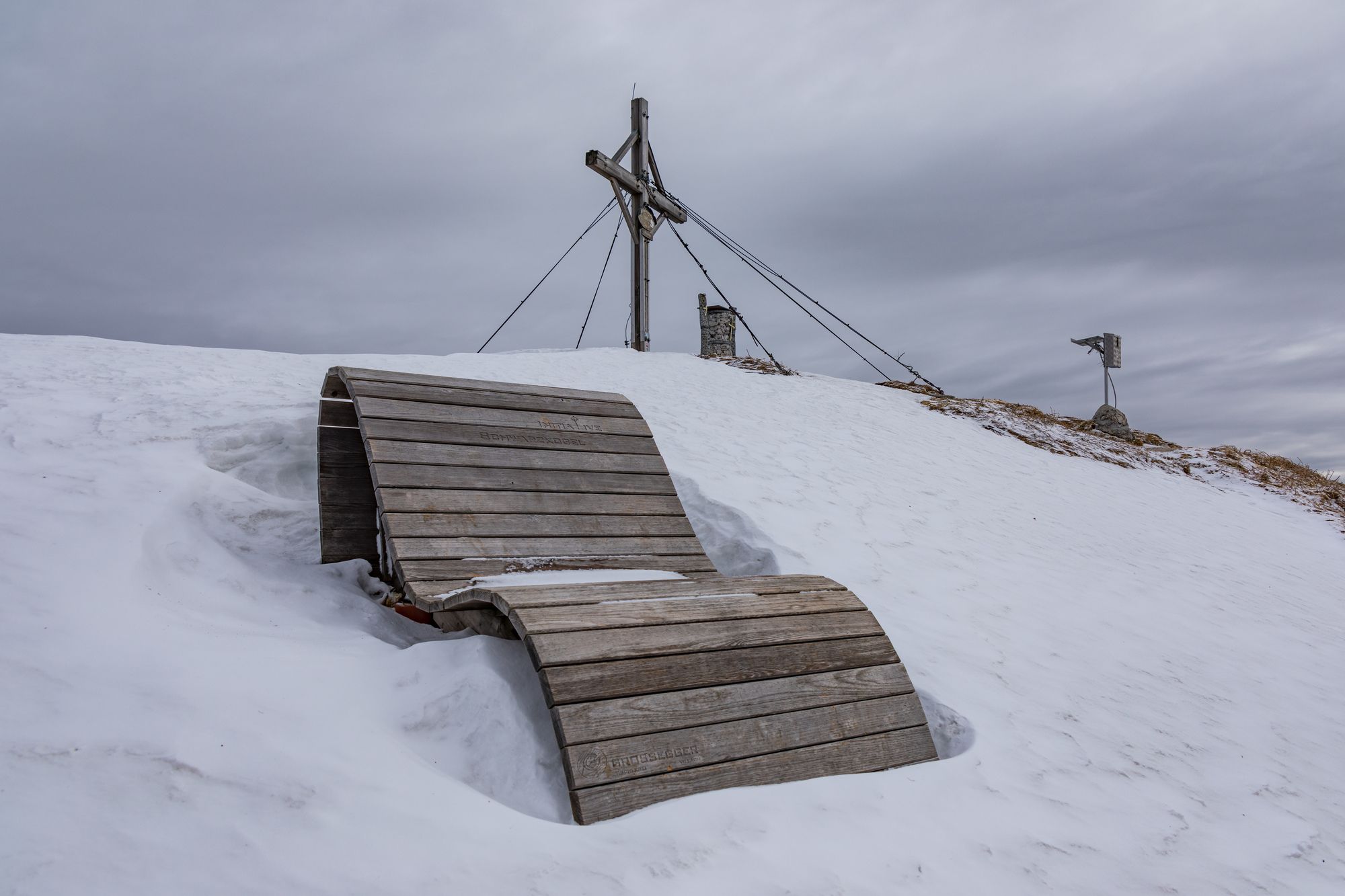
Baumgtn. Höhe, Mallestiger Mittags- und Schwarzkogel

Senderismo de invierno
© Michael Kleinsasser
© Michael Kleinsasser
© Michael Kleinsasser
© Michael Kleinsasser
© Michael Kleinsasser
© Michael Kleinsasser
© Michael Kleinsasser
© Michael Kleinsasser
Datos del tour
10,71km
940
- 1.842m
1.004hm
990hm
05:01h

- Breve descripción
-
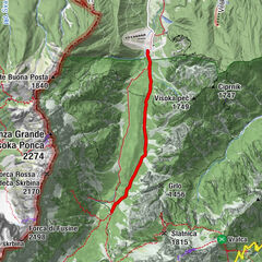
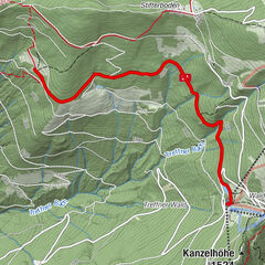
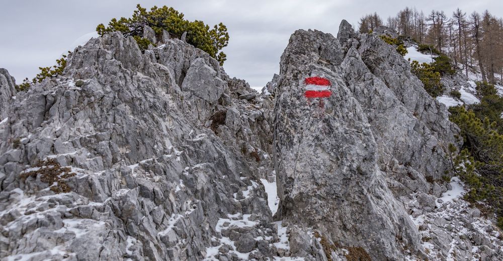
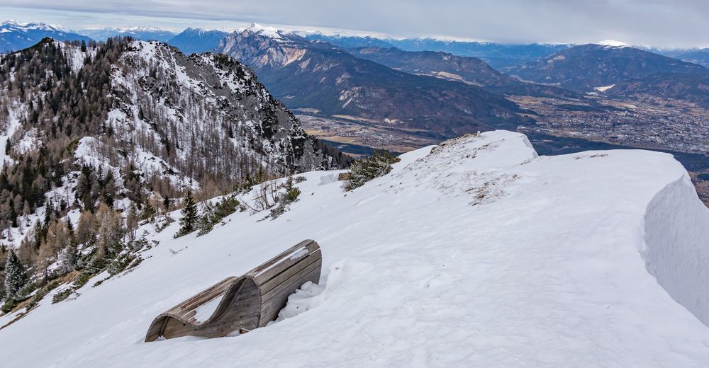
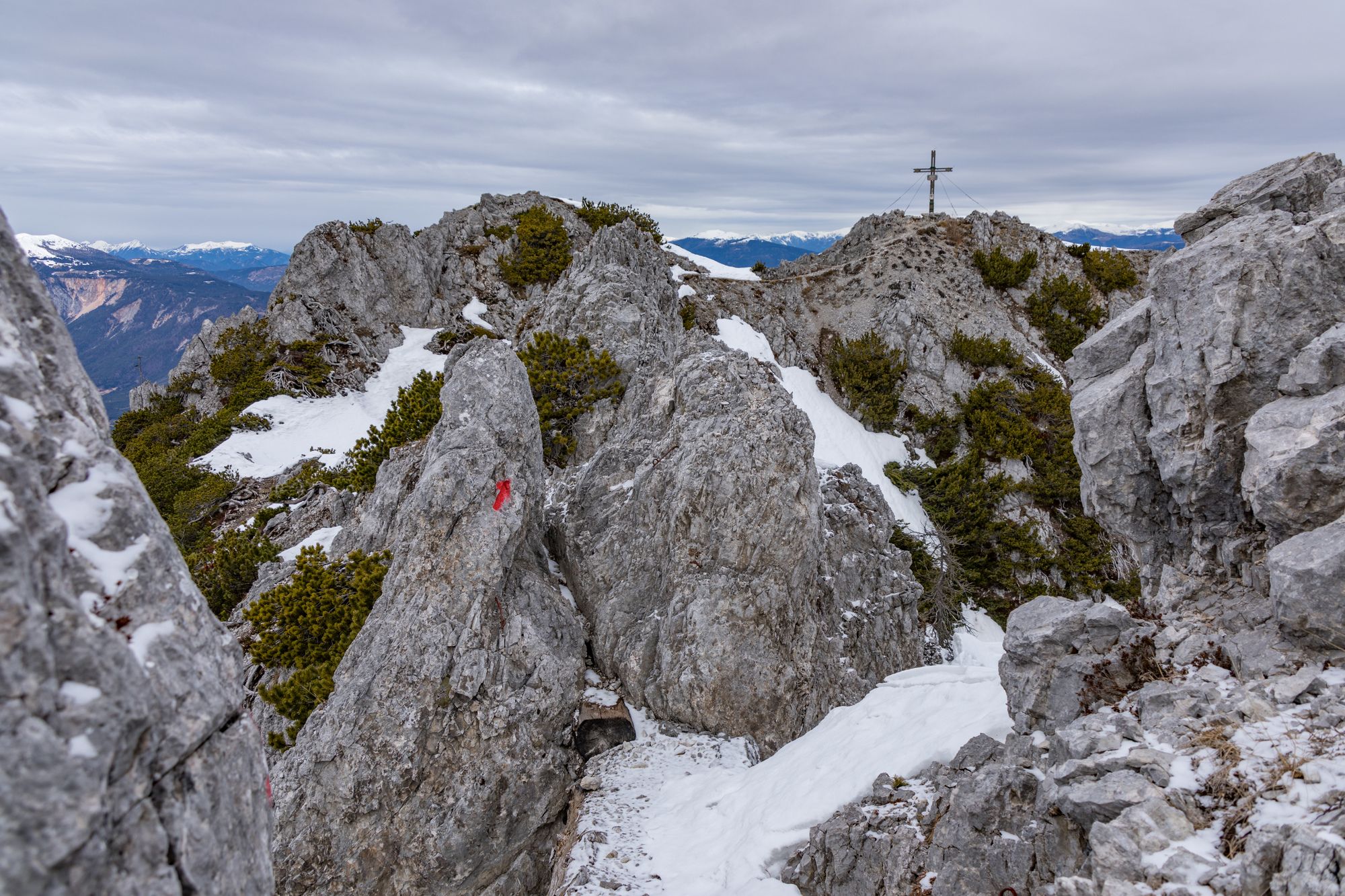
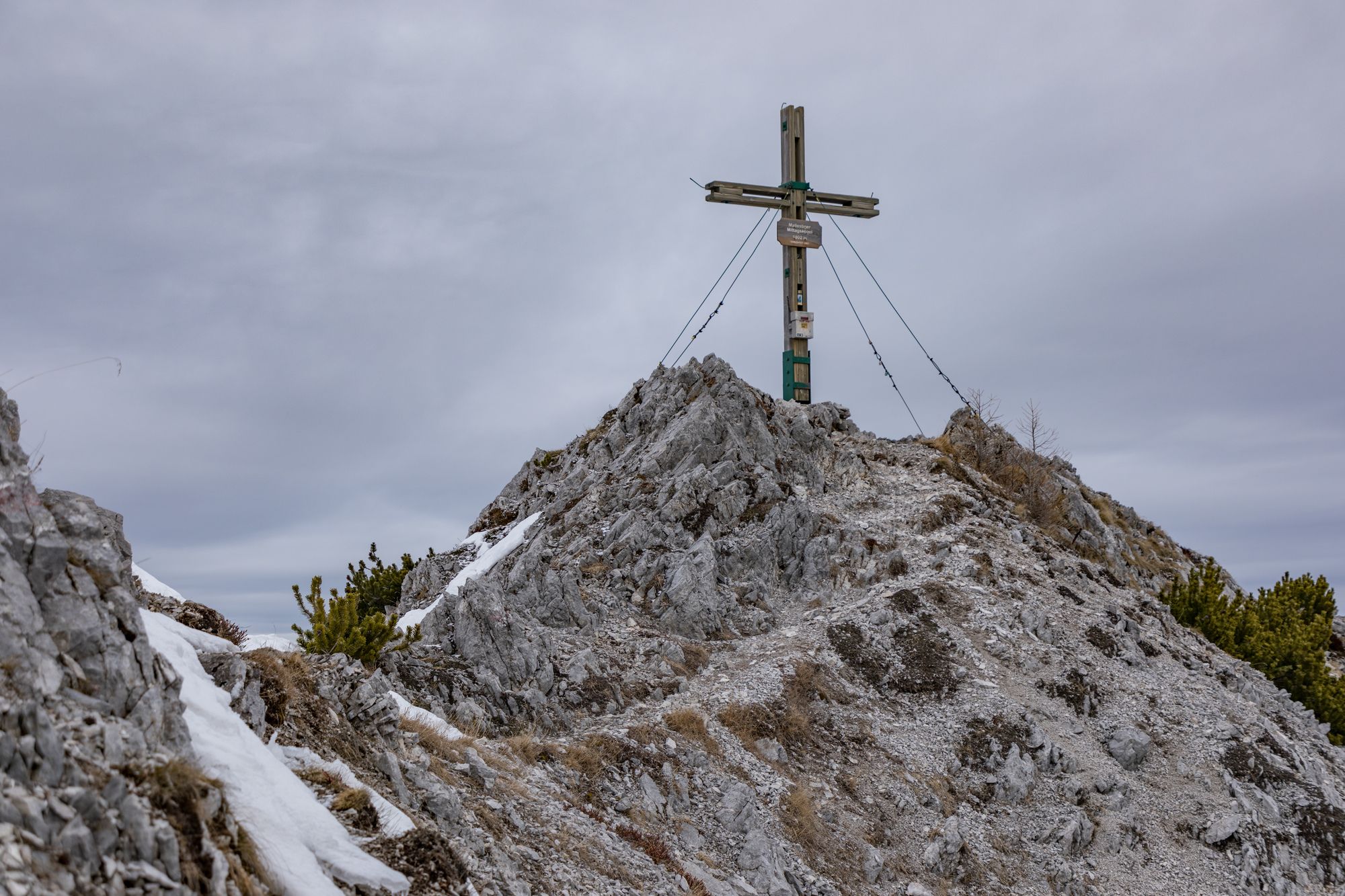
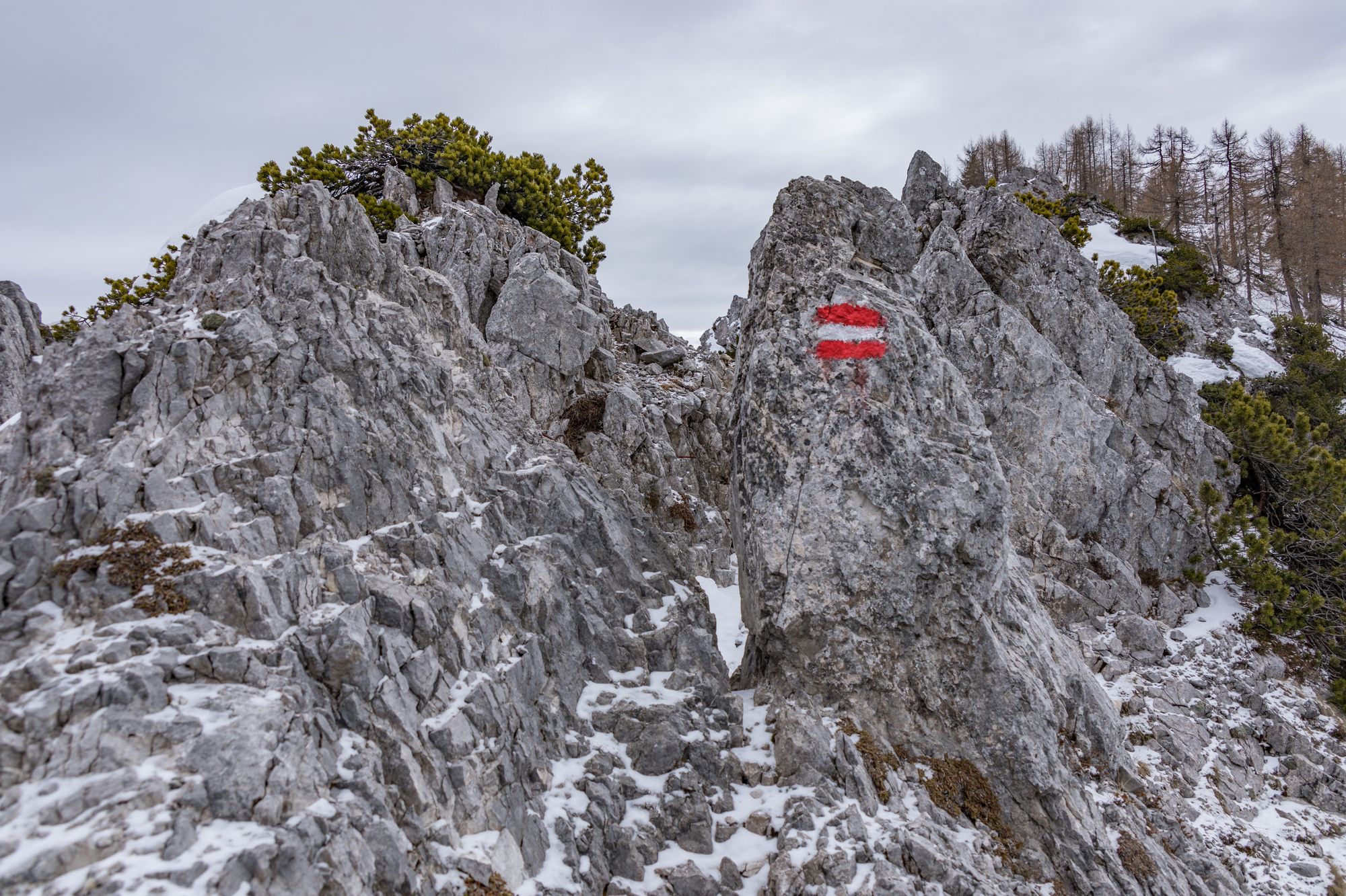
Von der Baumgartner Höhe über den Normalweg 683 zur Mitzl-Moitzl-Hütte, weiter zum Mallestiger Mittagskogel. Dann zum Schwarzkogel auf der anderen Seite und retour über die Aufstiegsstrecke
- Dificultad
-
difícil
- Valoración
-
- Punto de salida
-
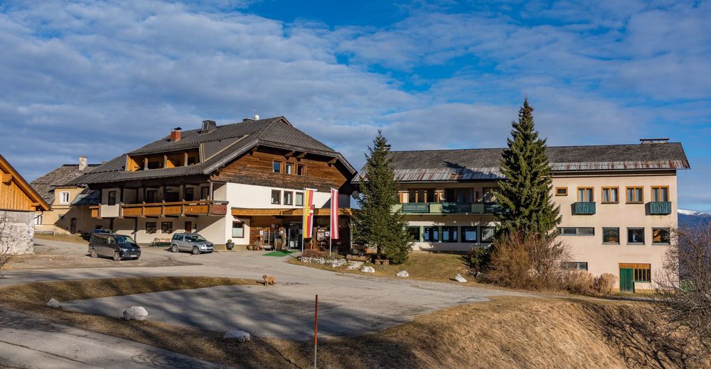
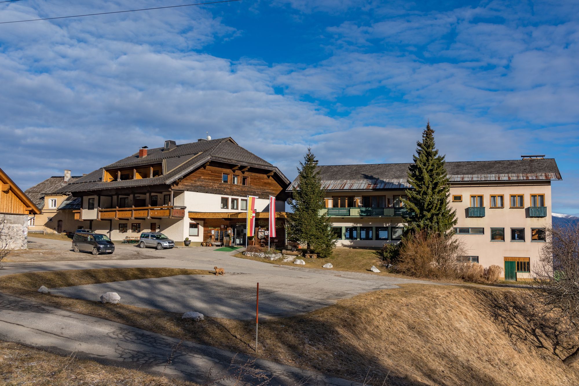
Baumgartnerhöhe
- Ruta
-
Rotschitzawasserfall1,3 kmSchwarzkogel (1.839 m)6,2 kmRotschitzawasserfall9,4 km
- La mejor temporada
-
agosepoctnovdicenefebmarabrmayjunjul
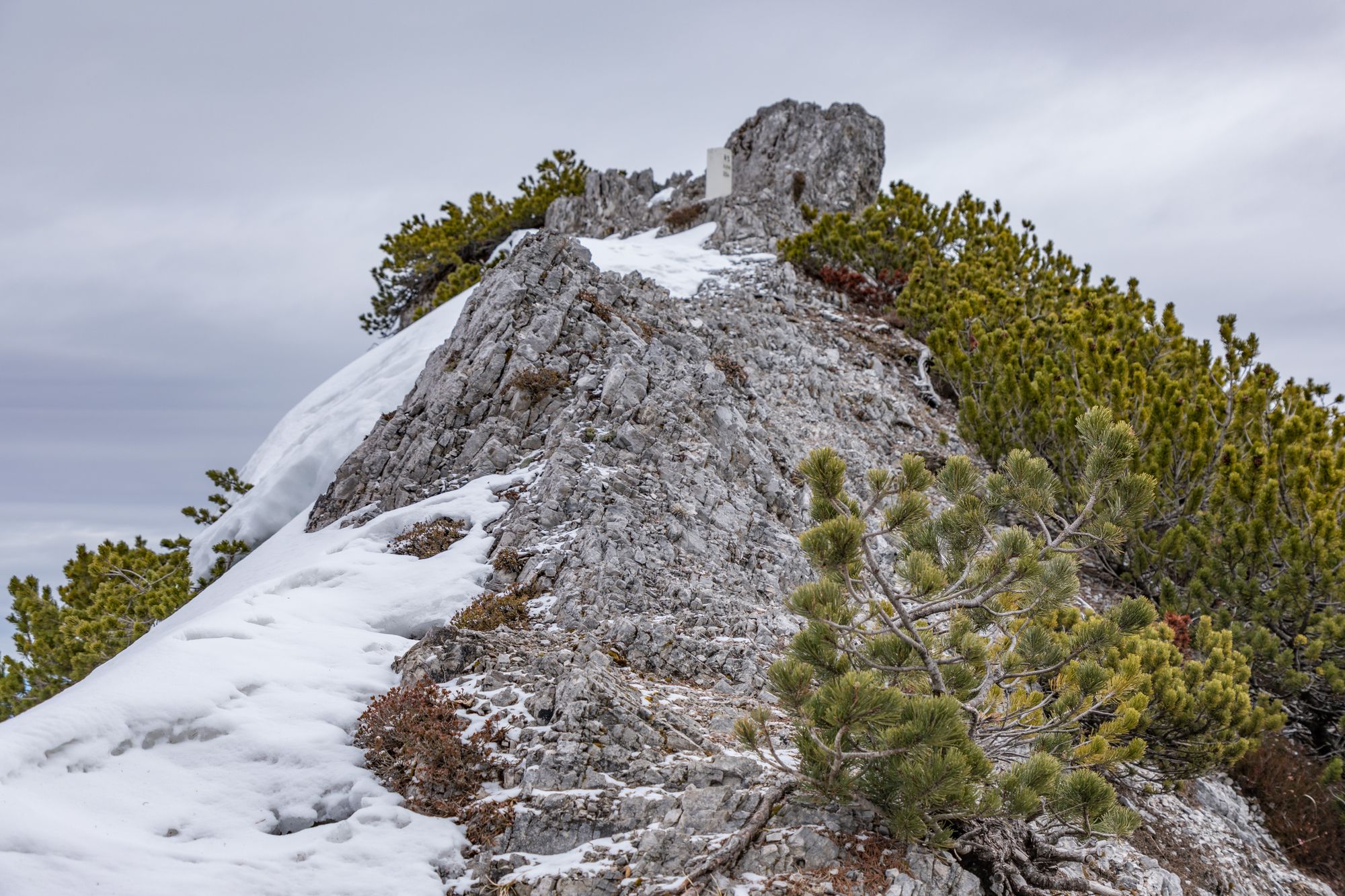
- Punto álgido
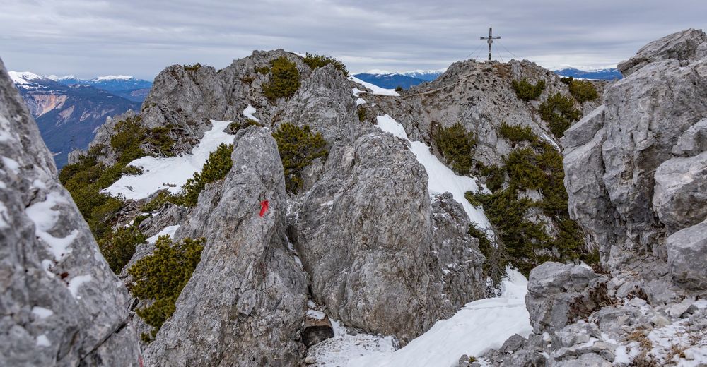
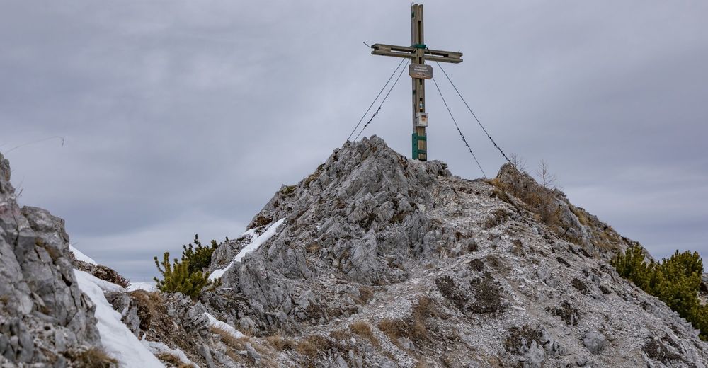
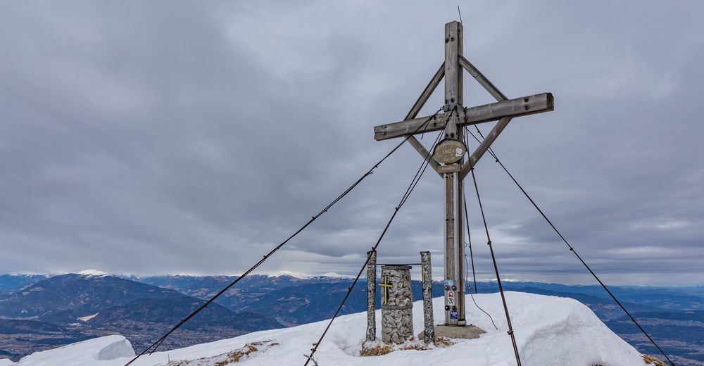
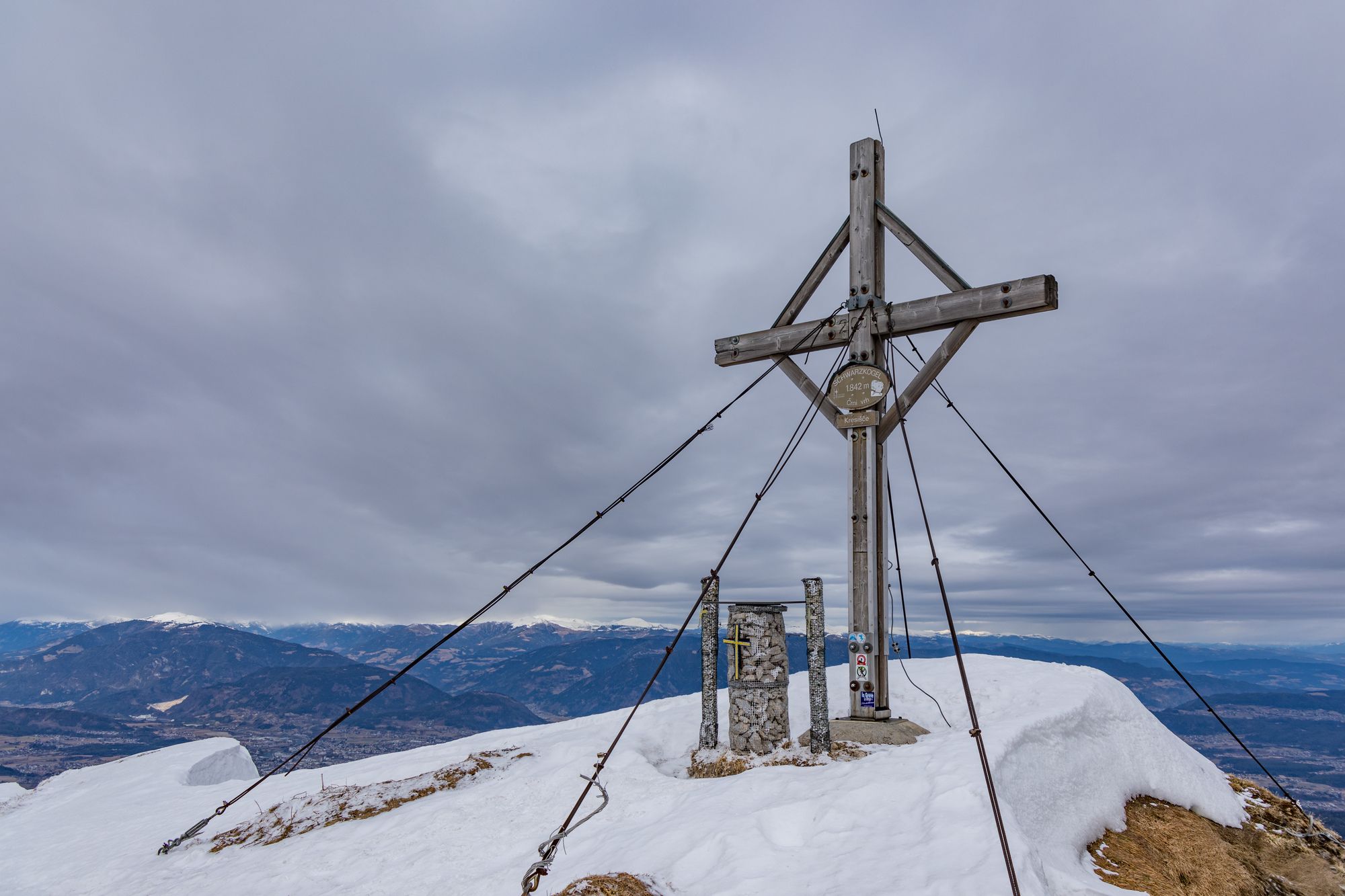
- Schwarzkogel (1.842 m)
- Punto final
-
Mallestiger Mittagskogel und Schwarzkogel - 2 Gipfel Tour
- Descanso/Avituallamiento
-
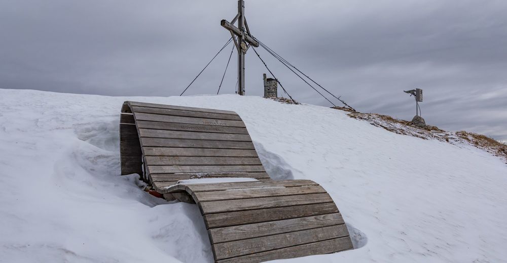
Baumgartnerhöhe! Die Hütten am Weg sind meist NICHT bewirtschaftet
- Fuente
- Mike
GPS Downloads


Más circuitos por las regiones