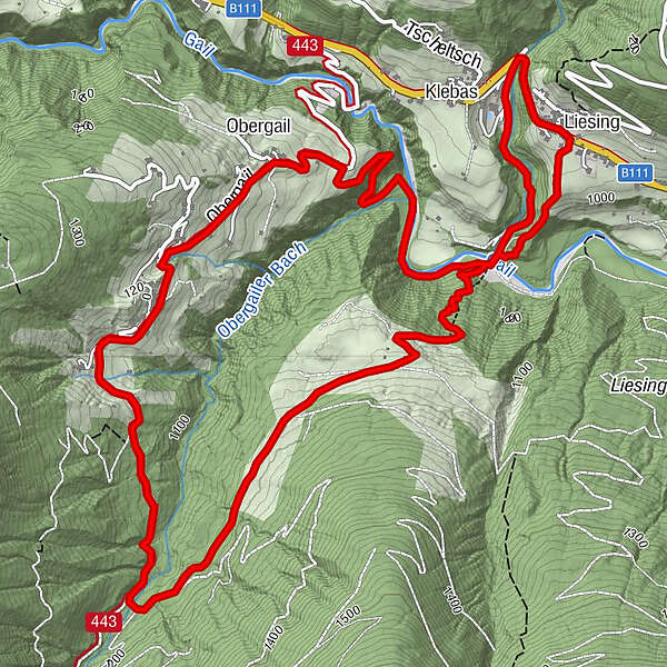
Liesing - Steineckenalm - Obergail - Liesing

Senderismo
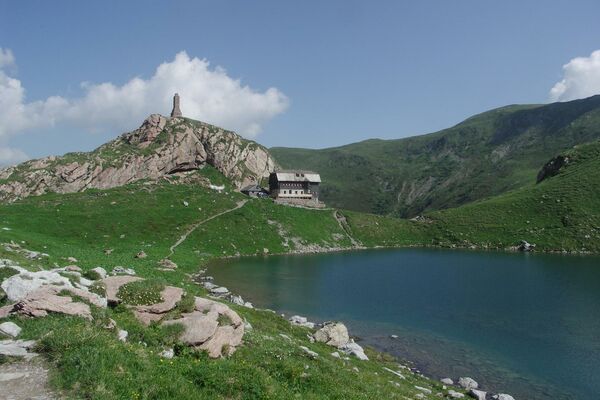
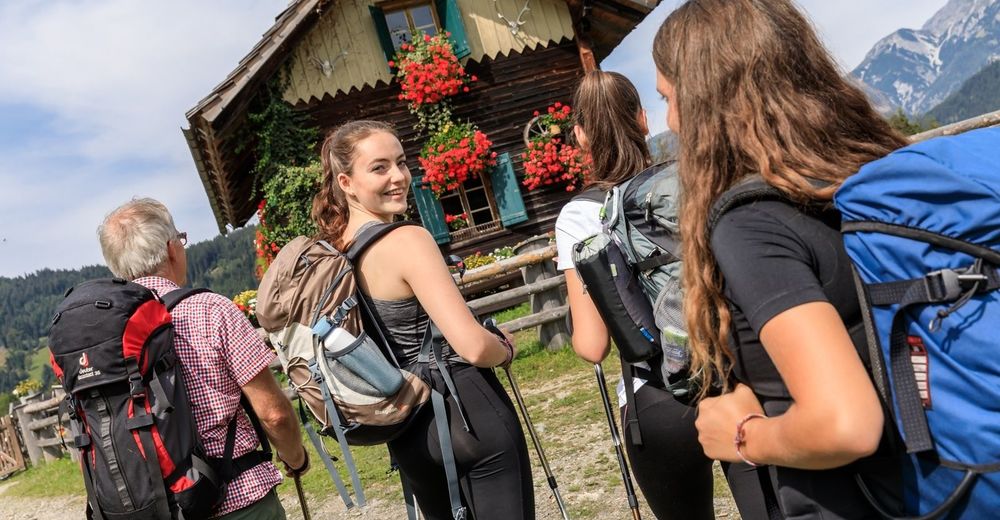
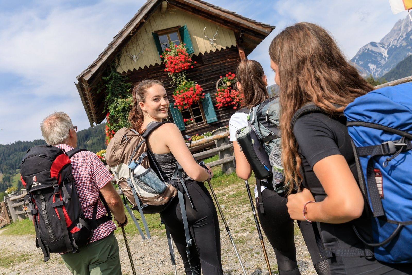
© TVB Lesachtal - Franz Gerdl
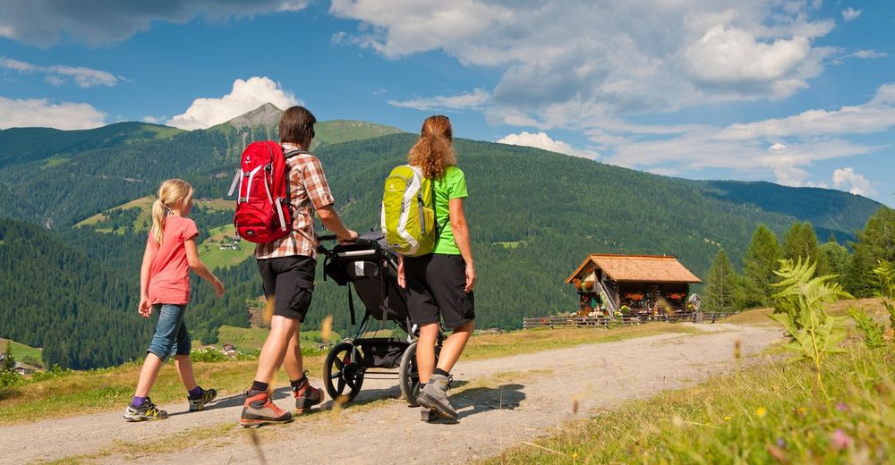
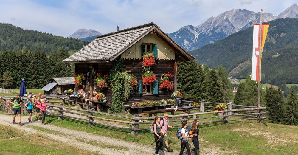
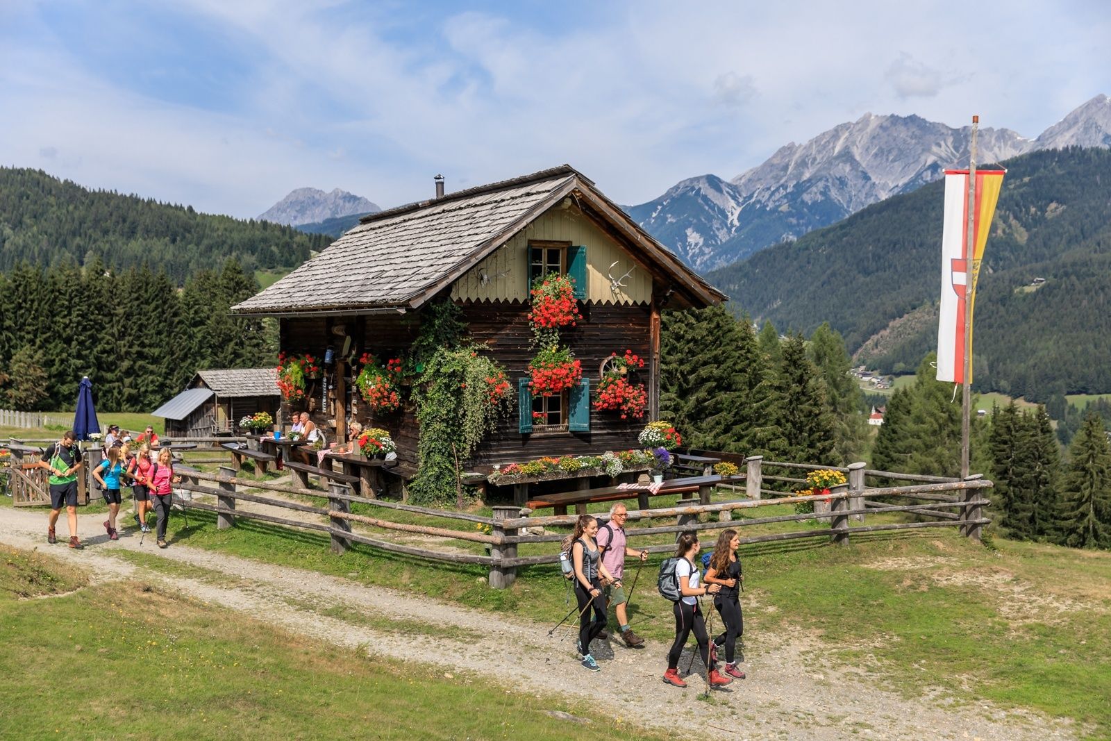
© TVB Lesachtal - www.tinefoto.com
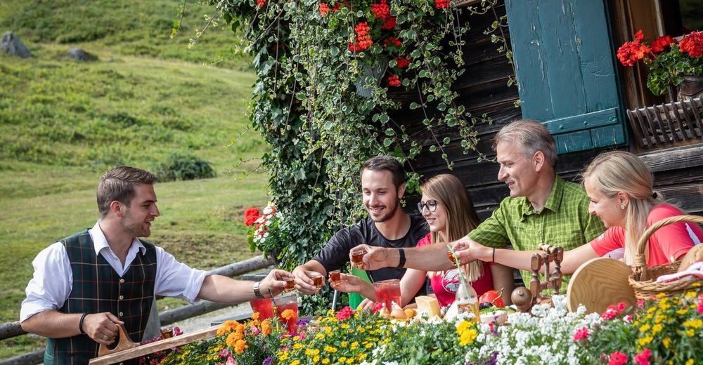
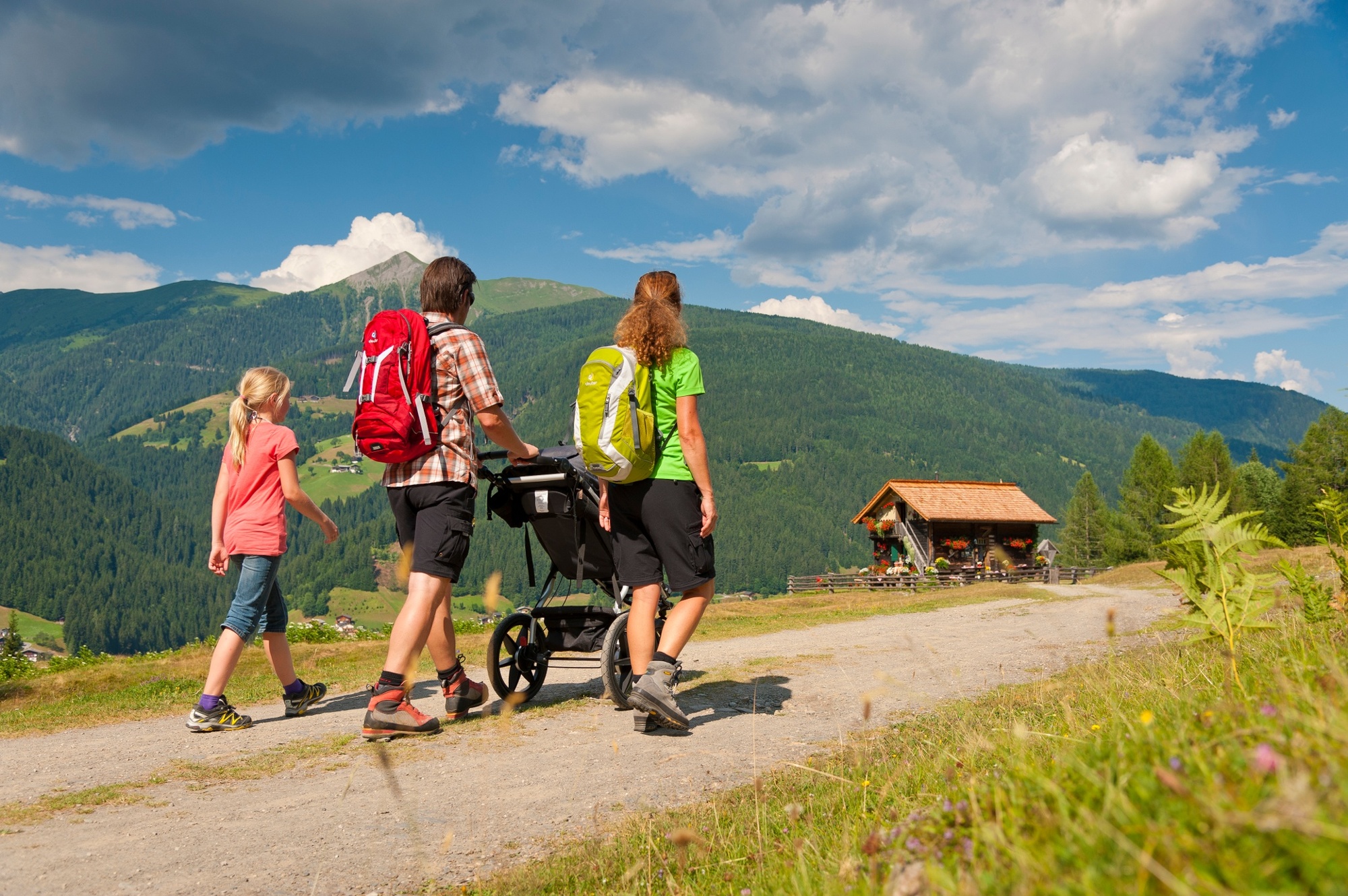
© TVB Lesachtal - www.tinefoto.com
© TVB Lesachtal - www.tinefoto.com

- Breve descripción
-
beliebte Rundwanderung entlang des Brot- und Morendenweges
- Dificultad
-
medio
- Valoración
-
- Ruta
-
LiesingPfarrkirche Heiliger Nikolaus0,0 kmMühlenstüberl4,1 kmLahnerhof5,0 kmObergail5,3 kmKapelle Obergail5,5 kmGasthaus Wilhelmer8,7 kmPfarrkirche Heiliger Nikolaus8,7 kmLiesing8,8 km
- La mejor temporada
-
enefebmarabrmayjunjulagosepoctnovdic
- Punto álgido
- 1.189 m
- Punto final
-
Liesing im Lesachtal
- Perfil alto
-


- Autor
-
La gira Liesing - Steineckenalm - Obergail - Liesing es utilizado por outdooractive.com proporcionado.
GPS Downloads


Información general
Punto de avituallamiento
Más circuitos por las regiones