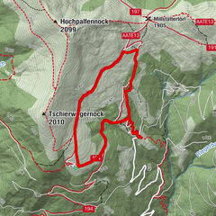

Datos del tour
11,27km
1.528
- 2.019m
553hm
553hm
02:43h
- Breve descripción
-
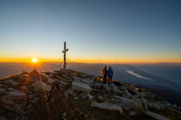
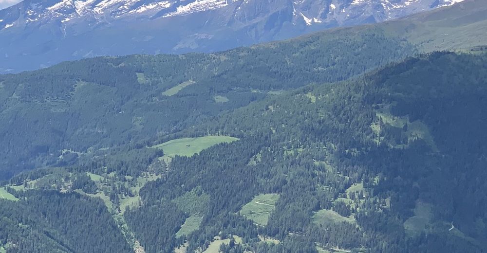
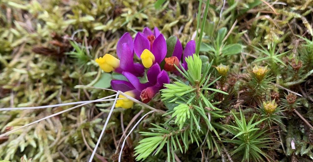
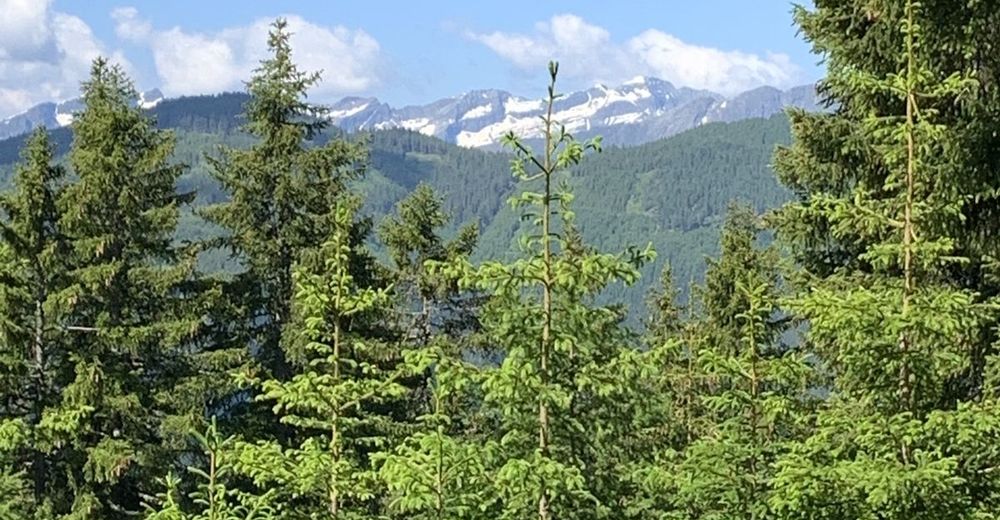
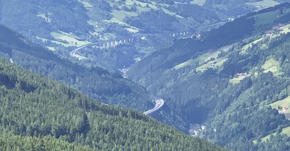
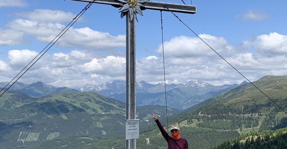
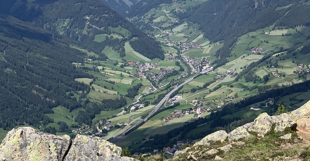
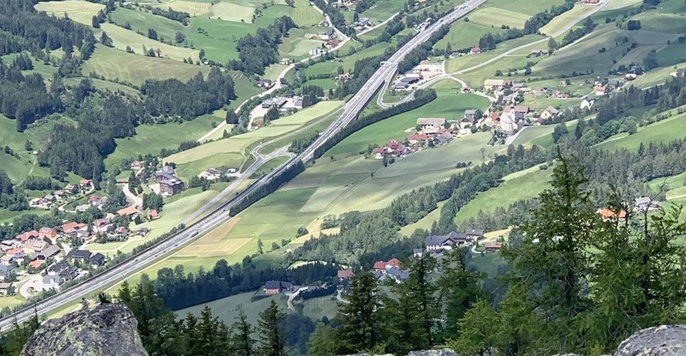
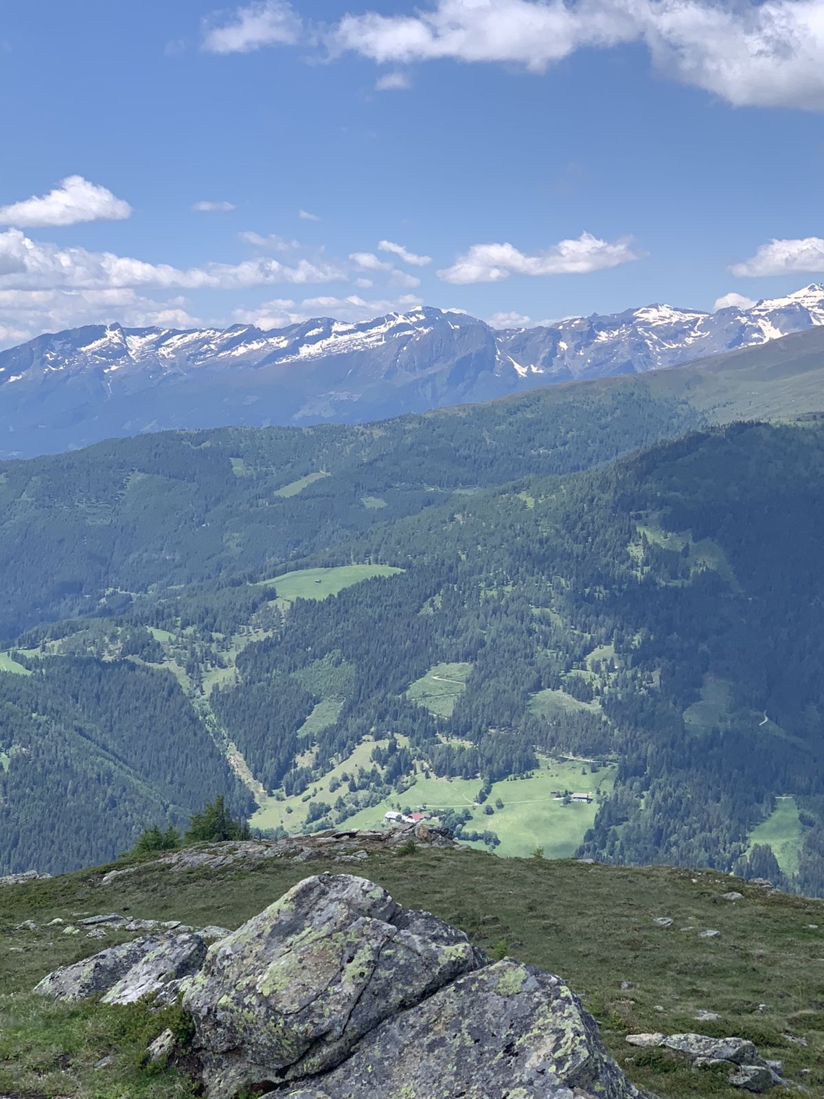
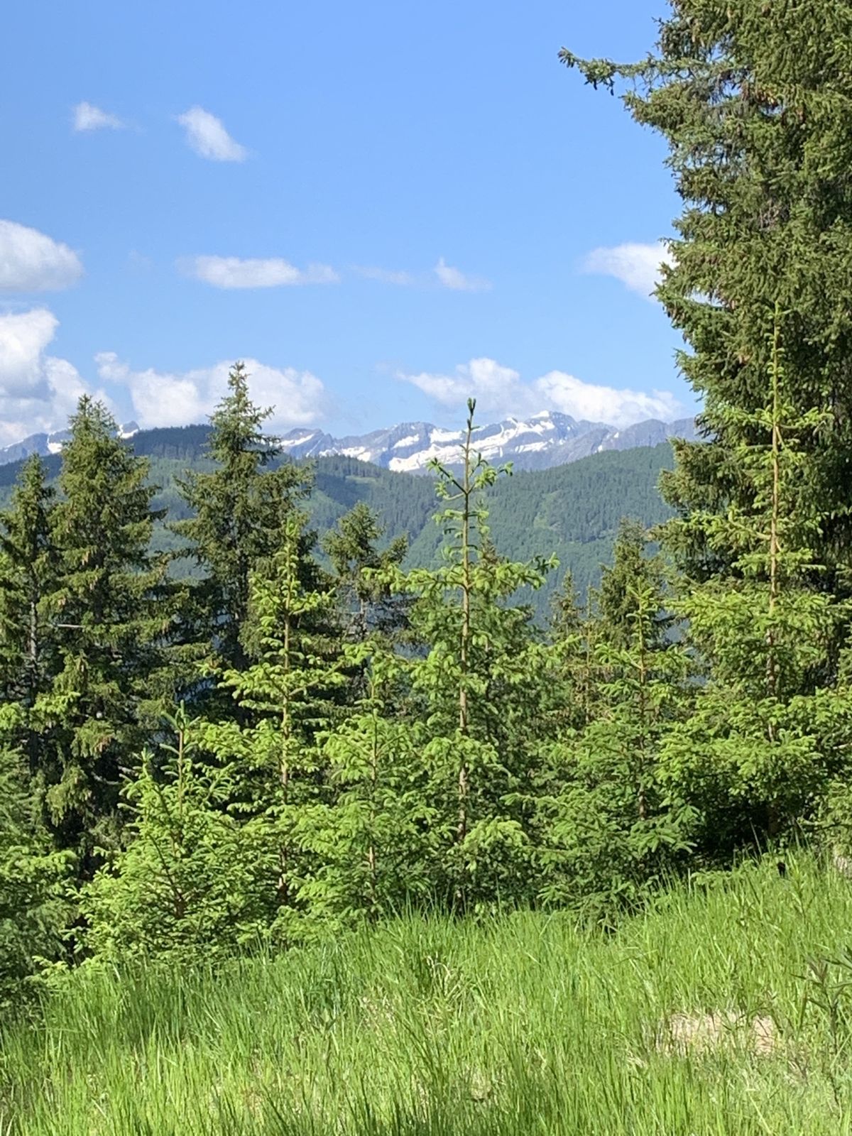
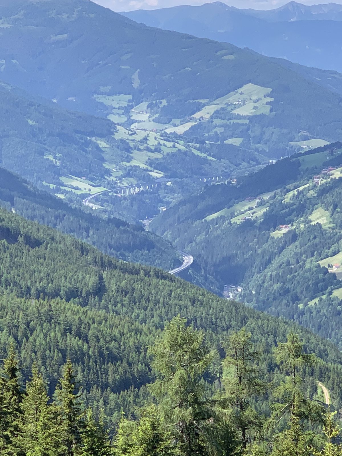
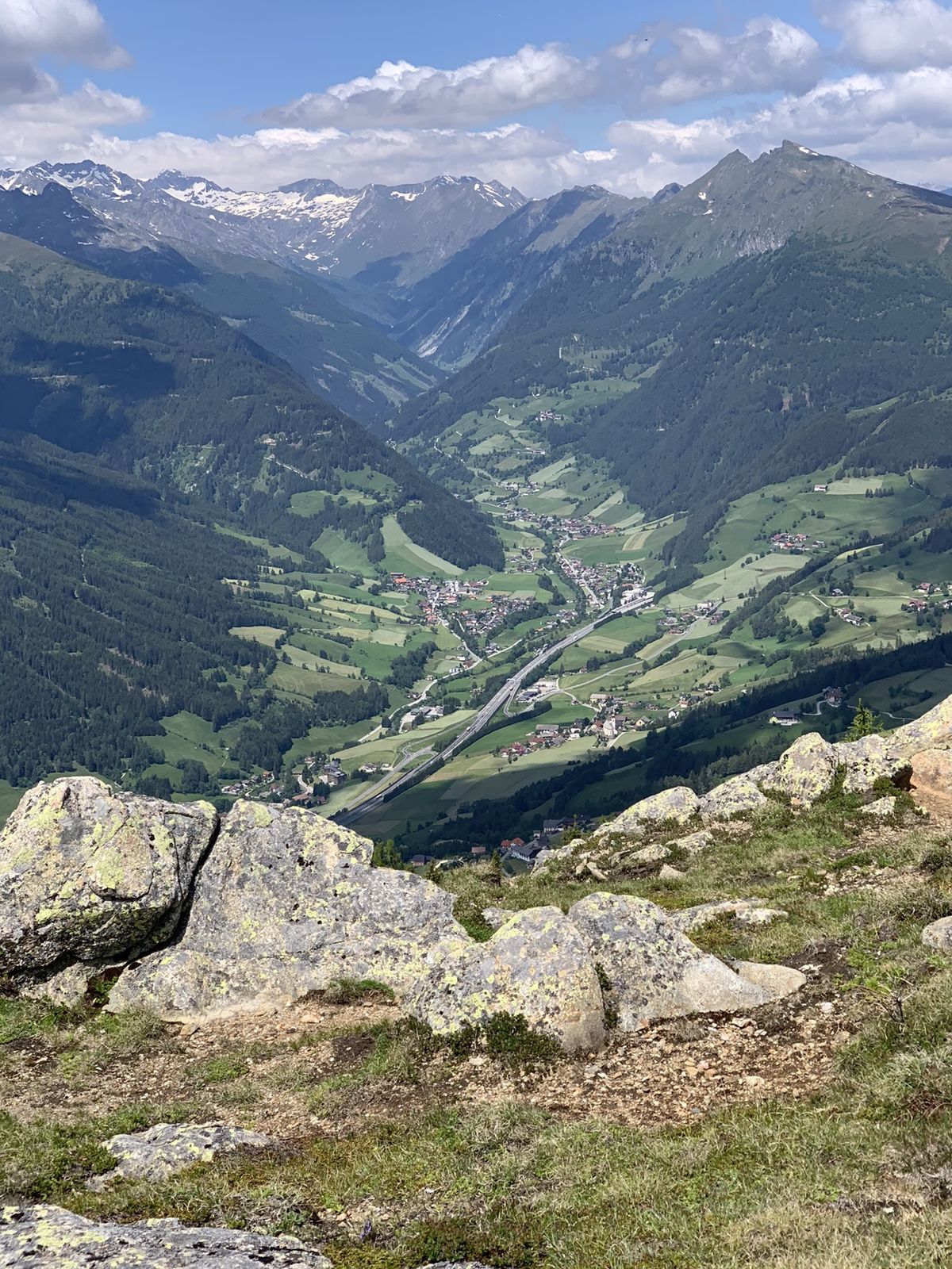
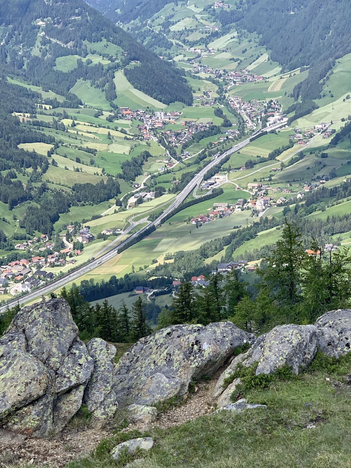
Wunderschöne Wanderung über Forstwege. Letzter Anstieg zum Kramerbichl über Almboden. Super Rumdumblick als Belohnung Richtung Katschberg, Maltatal und Hohe Tauern.
- Dificultad
-
fácil
- Valoración
-
- Ruta
-
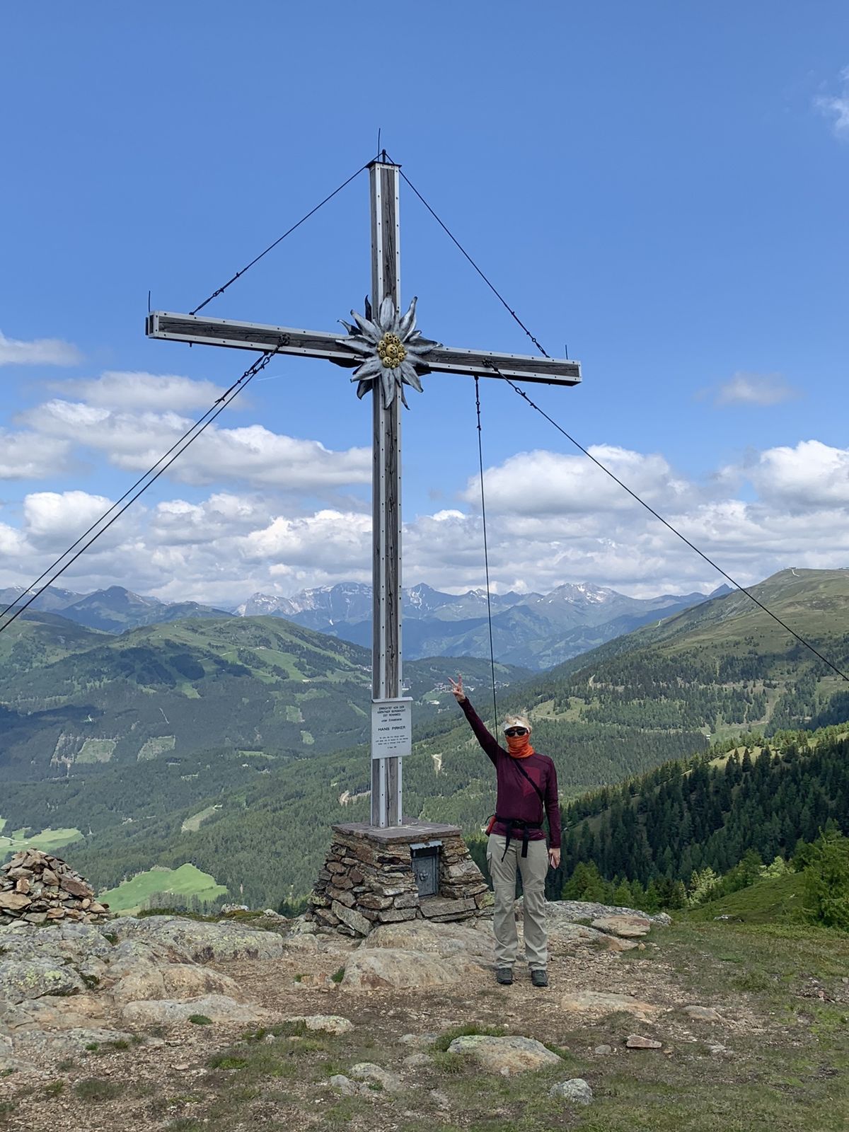
Kramerbichl (2.018 m)5,8 km
- La mejor temporada
-
enefebmarabrmayjunjulagosepoctnovdic
- Punto álgido
- 2.019 m

GPS Downloads


Más circuitos por las regiones